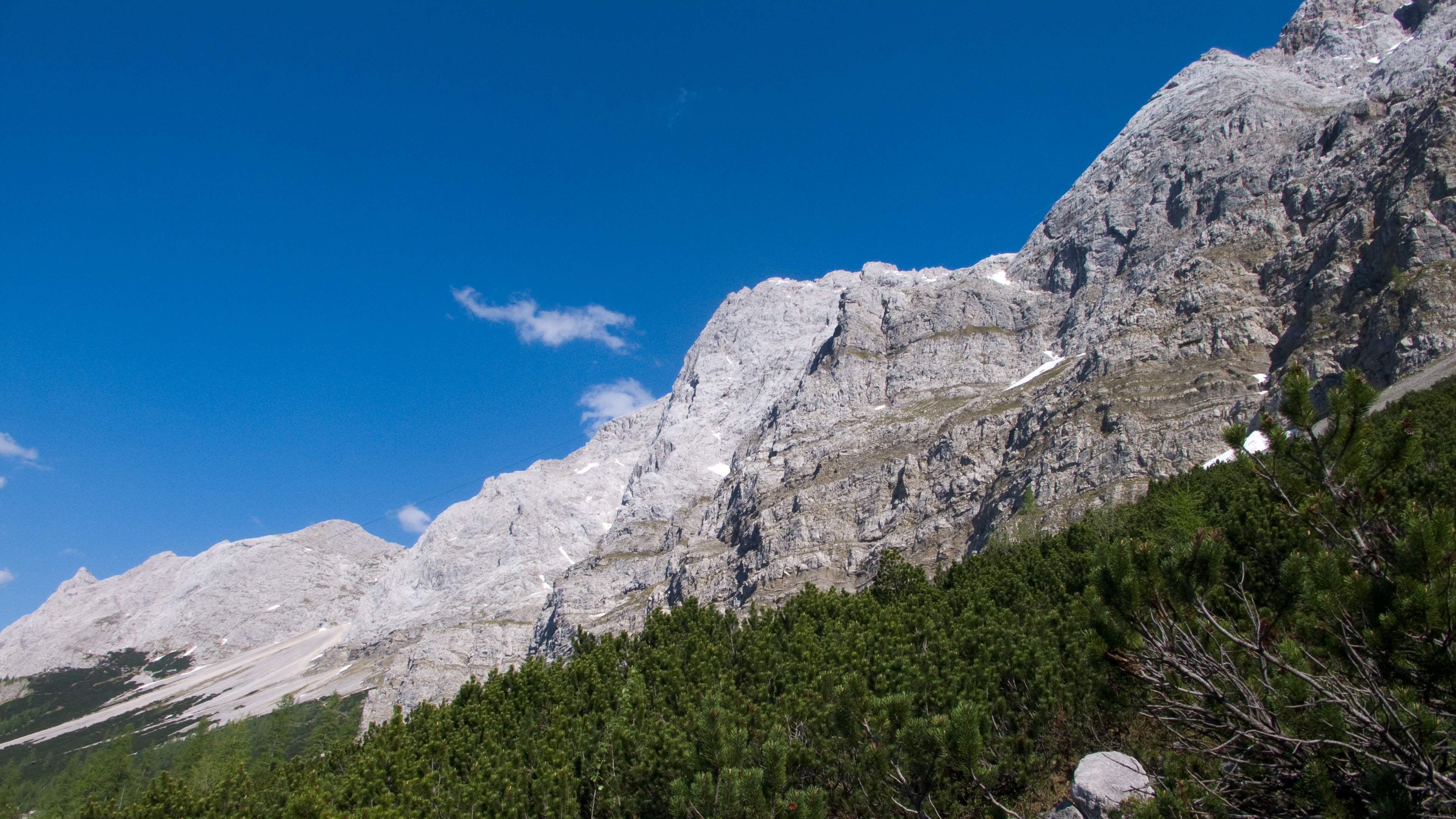
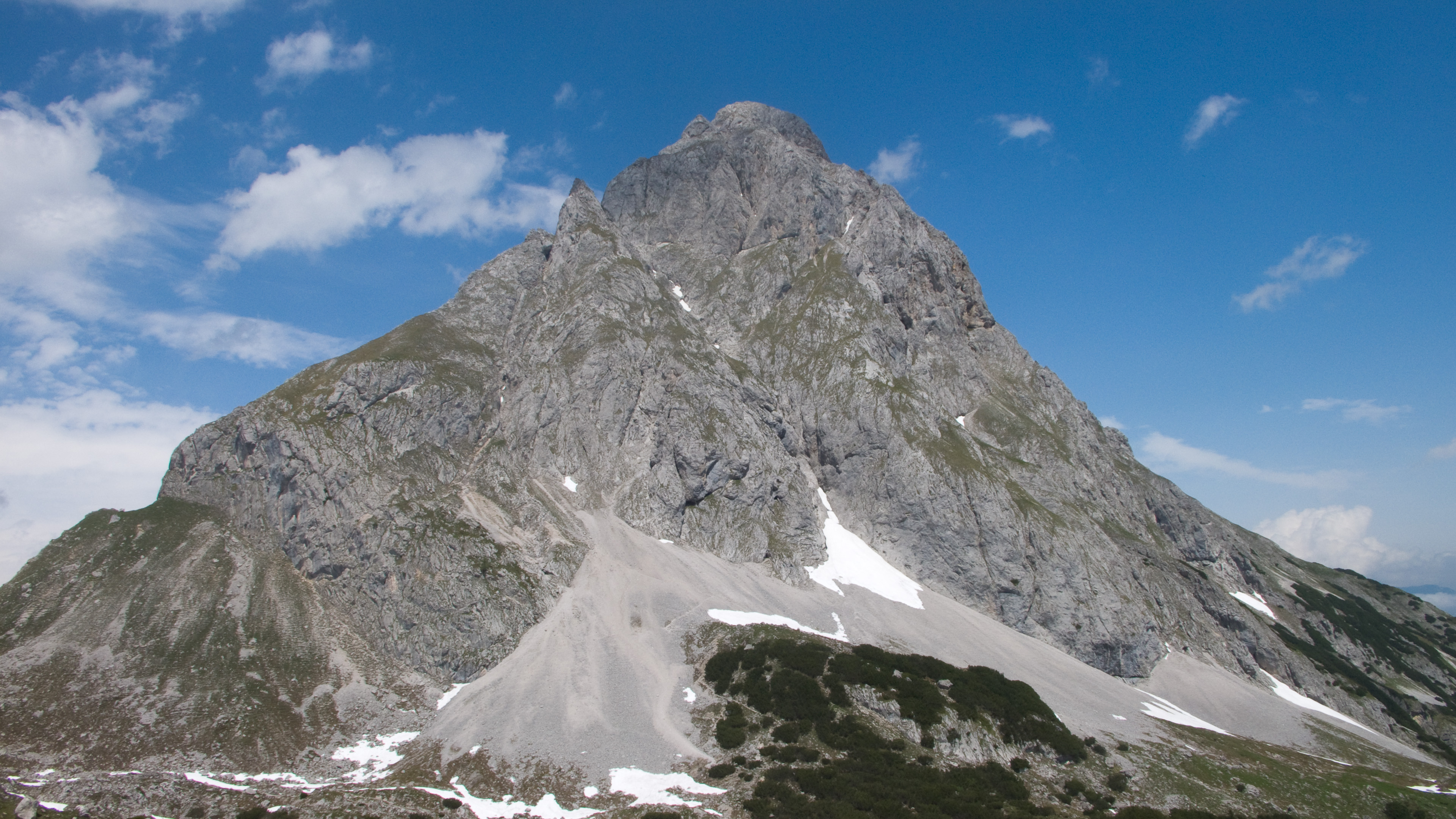
Zugspitze and others
Friends: Only God!Location: Zugspitze, Ehrwalder Sonnenspitze, Westliche Marienbergspitze
Elevation gain: 4700m = 2300m + 2400m
Also posted on Summitpost.org here
Introduction
I like big days. When you start walking at dawn, the first on the trail breaking all the spiderwebs. When you startle the animals, unused to seeing awkward two-leggers cantilevering along. And when you make the decision to take the long way home...through another valley or over another peak. The feeling of pleasant exhaustion and accomplishment at the high point in late afternoon or evening, and the long trip down on autopilot, again disturbing the spider webs in the silent forest.
Lately I've been without climbing partners for one reason or another, and a look at the calendars that govern our affairs means that will probably continue for a while. That's okay, I like going solo. As a beginner, I didn't know any climbers, so I got used to doing things alone, so in a way, going solo is going back to my roots. I just have to be careful to keep the technical difficulties reasonable because nothing will ruin your day like sketching around on 5th class terrain alone.
This report is about two big days in North Tirol, separated by a couple of days of work (read: an opportunity to recover!).
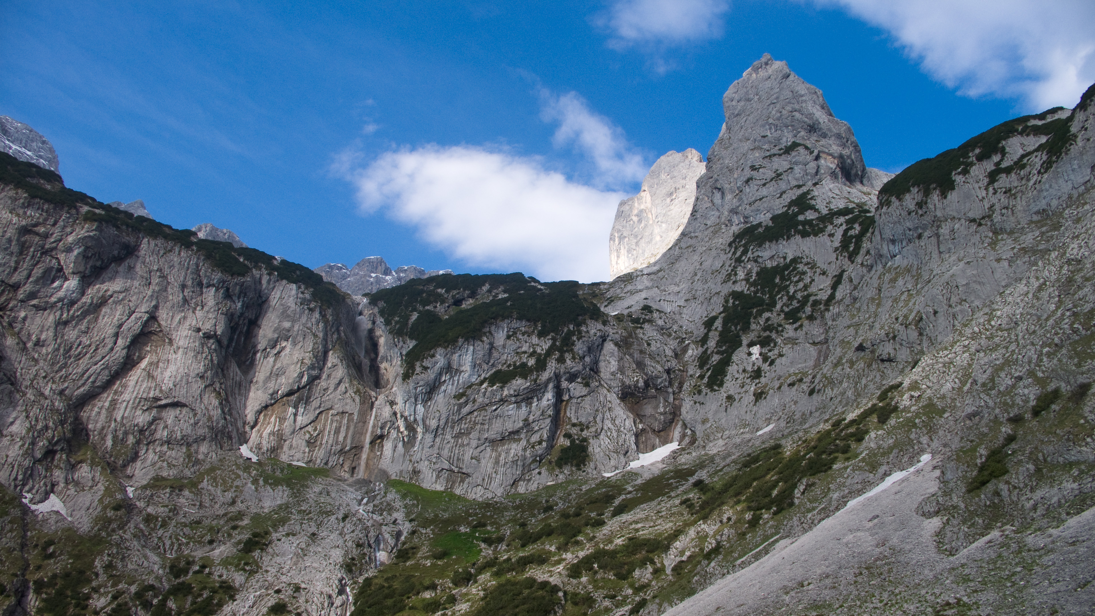
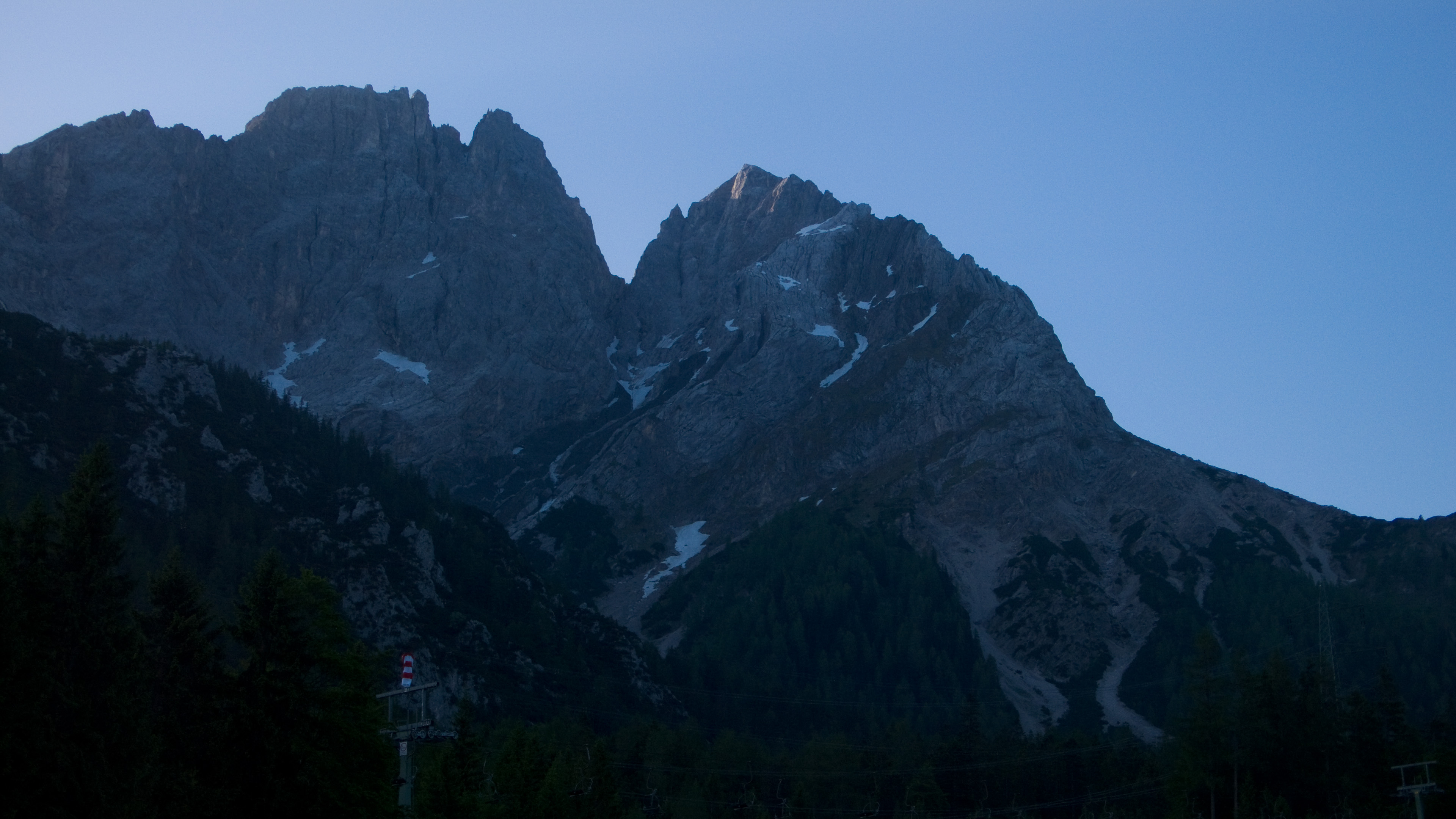
The Zugspitze, June 9, 2010
Wednesday morning, 4:30 am. I get up, stare at the newspaper for 15 minutes, then head out the door with big mountain boots, heavy, needless crampons, an axe, helmet and food. I'm walking from Hammersbach around 6:30 am, admiring the Zwölferkopf on the right, a peak with a magical ridge climb I've always wanted to do. Frantic attempts in the previous days to scare up a partner were fruitless. The days when I would solo the route are over. Though I felt the call to do so, I can more easily ignore it now.
Happy with my alternate destination, I took a somewhat tedious trail up through the "Magical Forest" (Zauberwald) to the hut at the entrance to the Höllentalklamm. Actually, it's a great trail for kids, with lots of funny jokes and scenes carved into the trees along the way. It just annoyed me because of long flat switchbacks on a gravel road. There is a more direct way to the entrance, but I was too impatient to get out my map, a failing that would cost me time again later in the day.
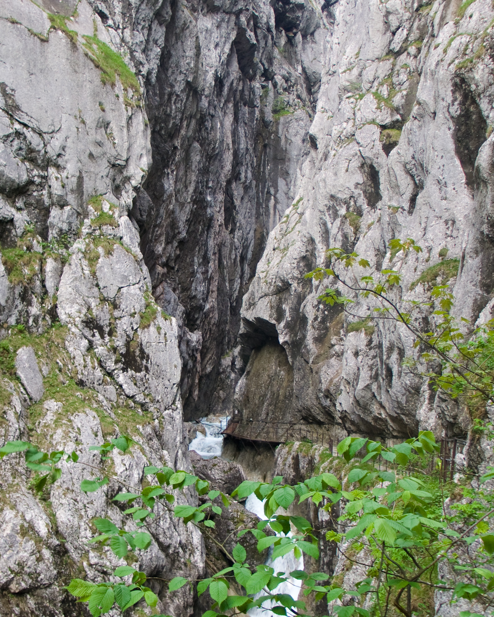
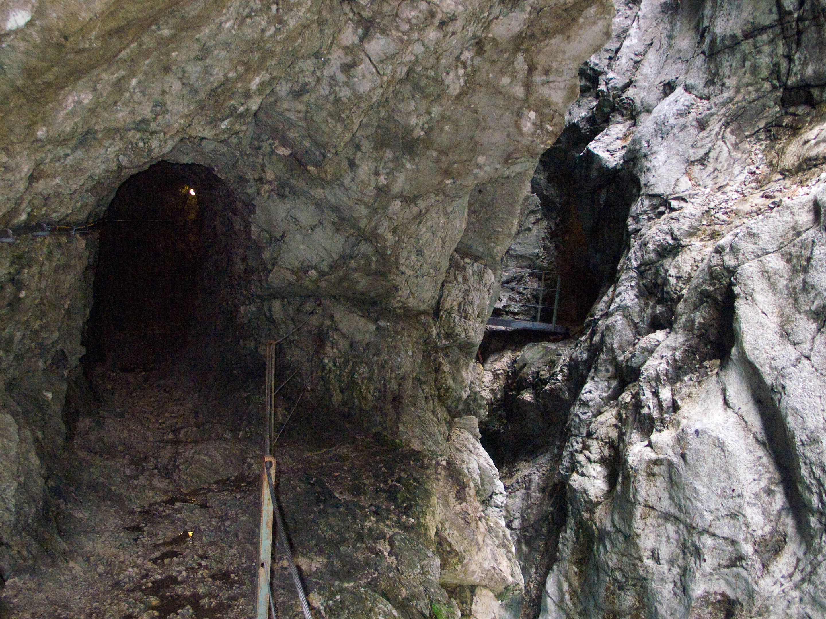
The trip through the empty canyon never loses some of it's thrill. Wending my way through tunnels and across bridges over the raging torrent, I reveled in the fun of this place. I remembered making maps of magical tunnels and caves as a kid. I passed the Höllentalangerhütte (my jokey/bad translation: "The Hell Valley Anger House"), like a silent shade and reached the start of the protected climbing path after a lovely walk through light forest of the middle valley. Two fellas from Stuttgart were here and we chatted a few minutes. I pressed on, passing the famous "Brett," where iron spikes stick out of the smooth slab for support as footholds. In the upper valley, a mix of rushing water, shrubs, rocks and old snowfields, a speedy man came and passed me by as I wheezed. I thought I was pretty fast, but boy was I wrong. I would occasionally see him as a dot far ahead, and wonder how he got in such good shape. My on again/off again relationship to training in a gym or running leaves me at a disadvantage. But that's life, in the end, you go with what you have. I have a friend who often puts things off until a mystical day when he's fully "trained up." Well...you can do that.
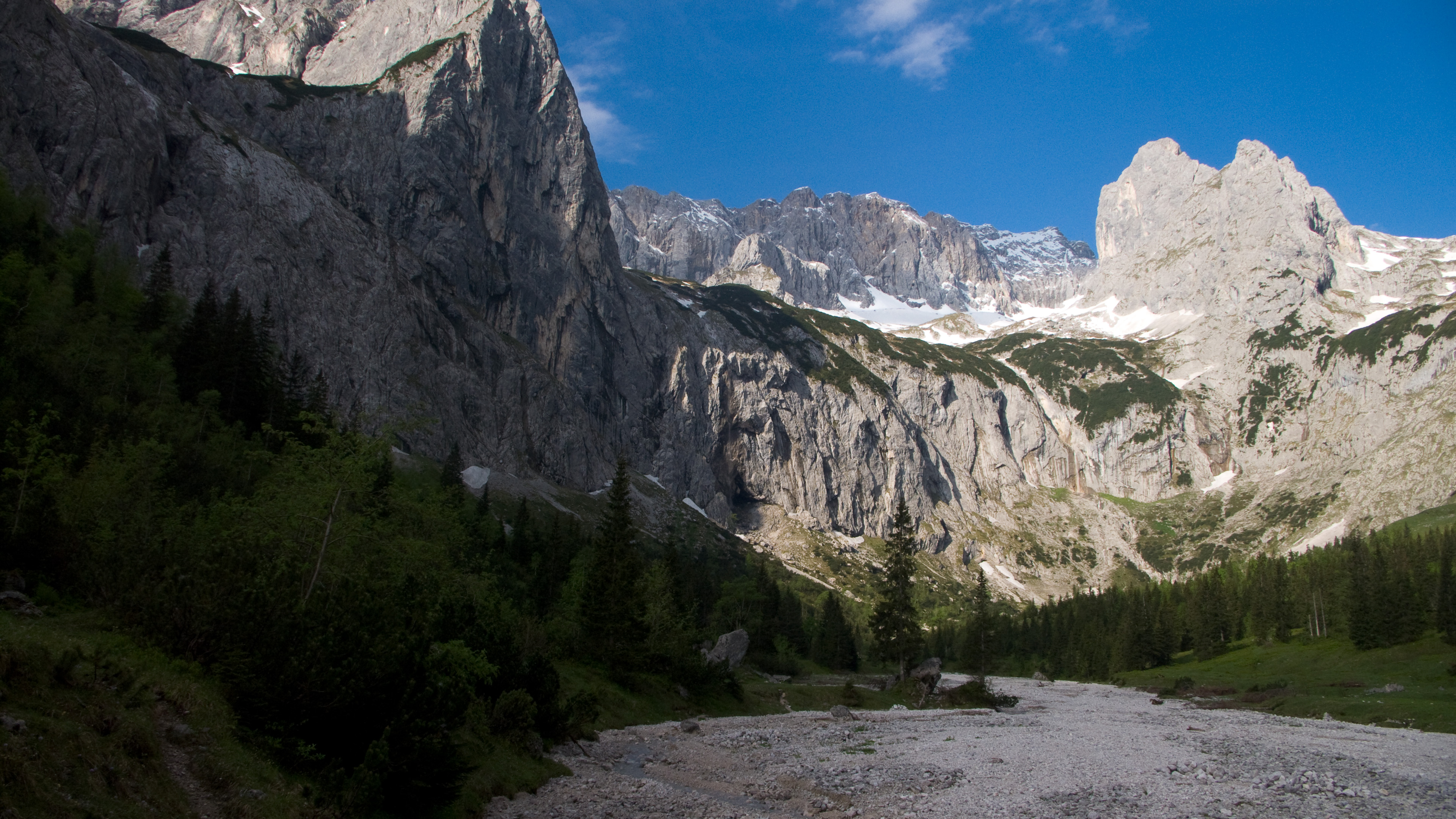
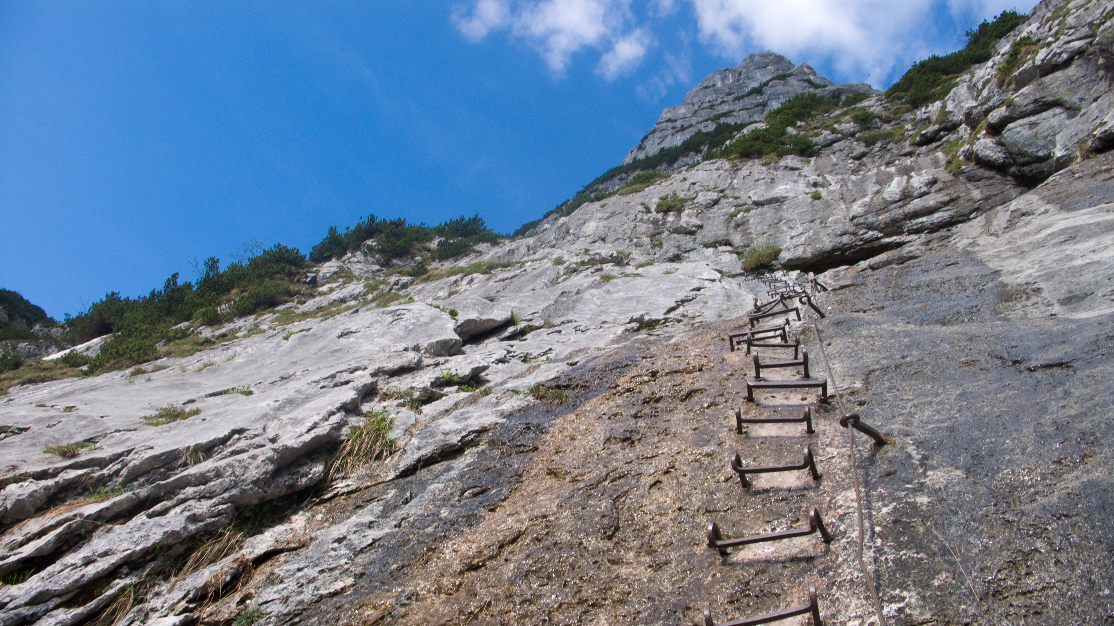
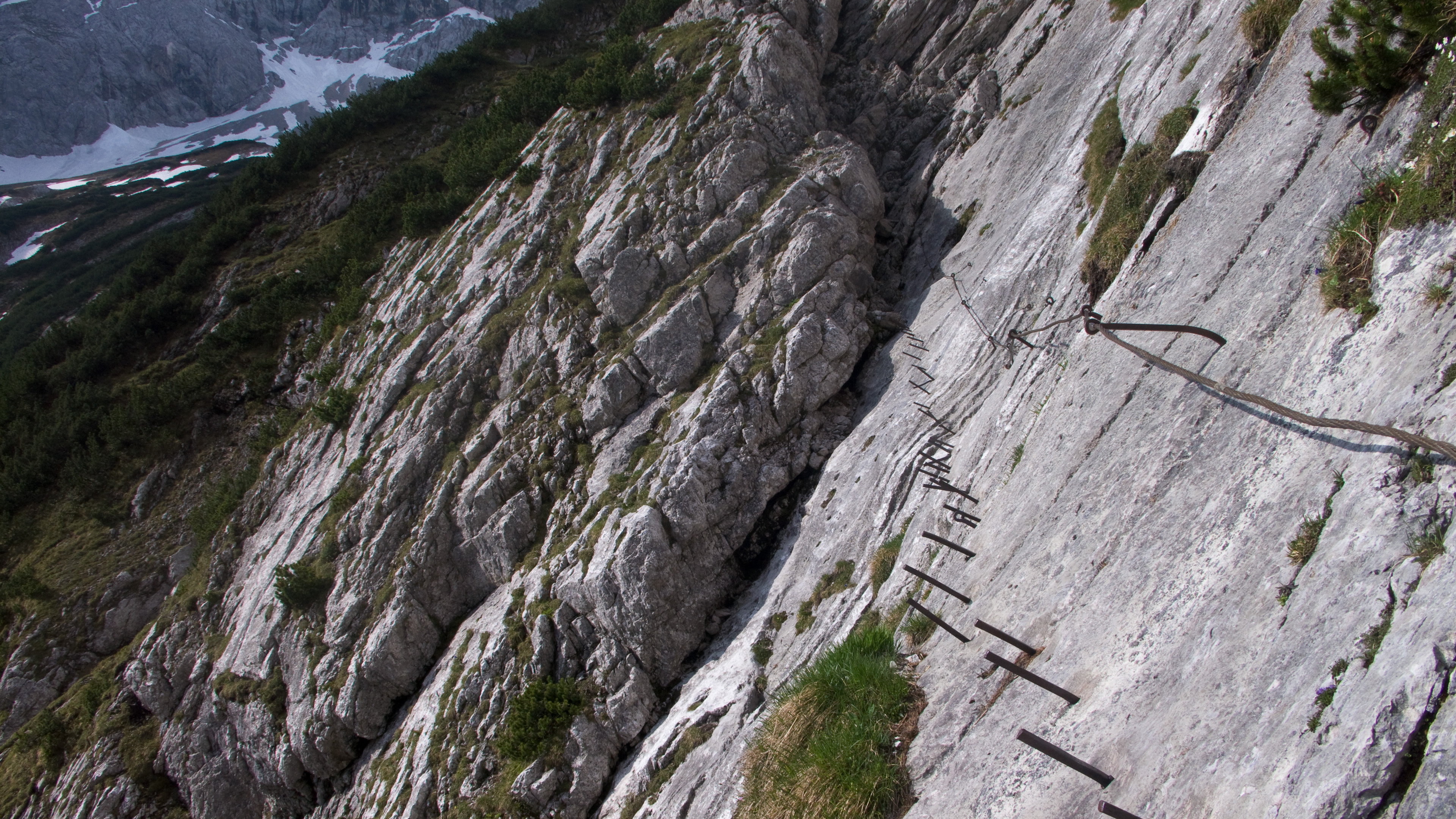
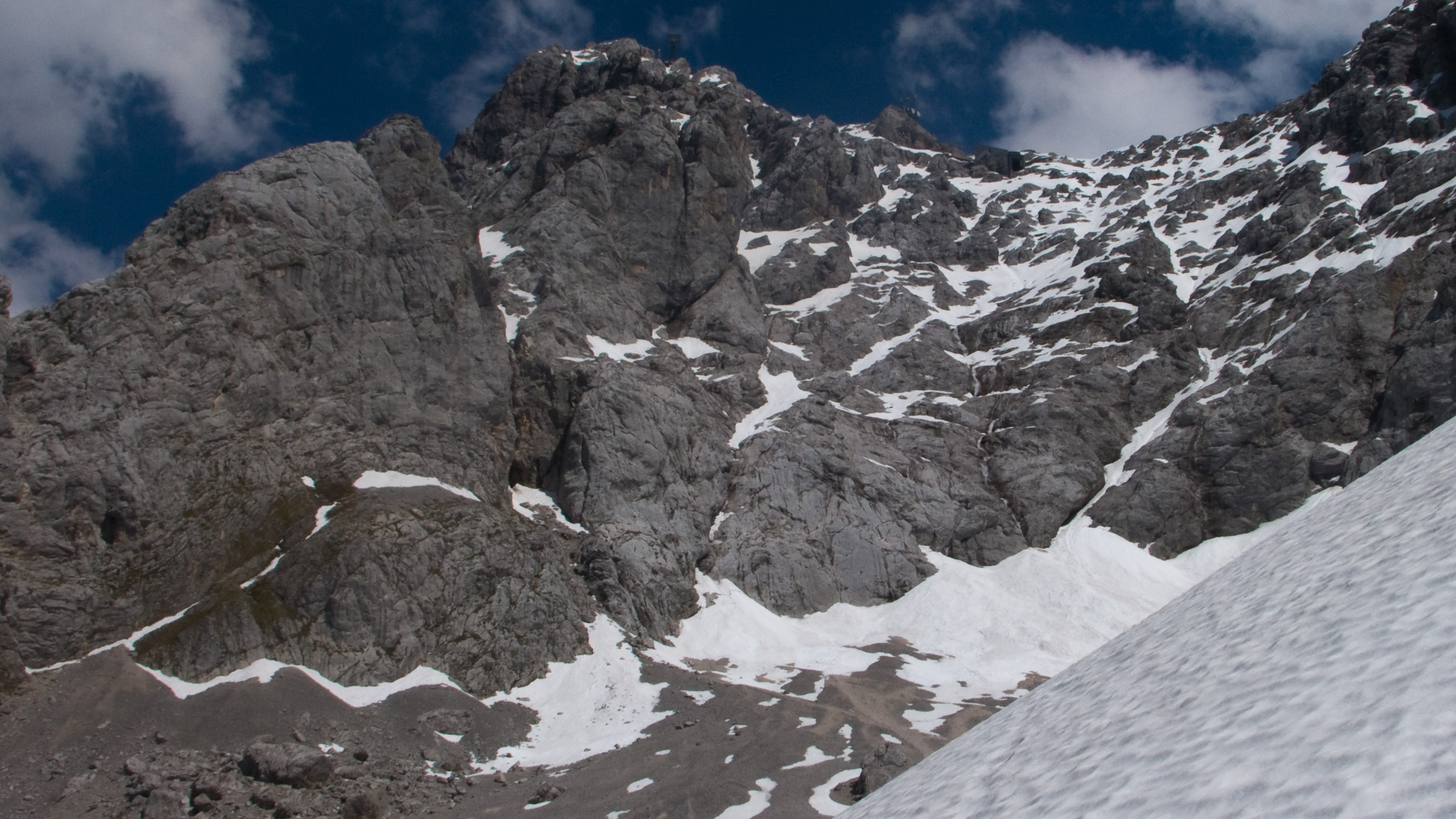
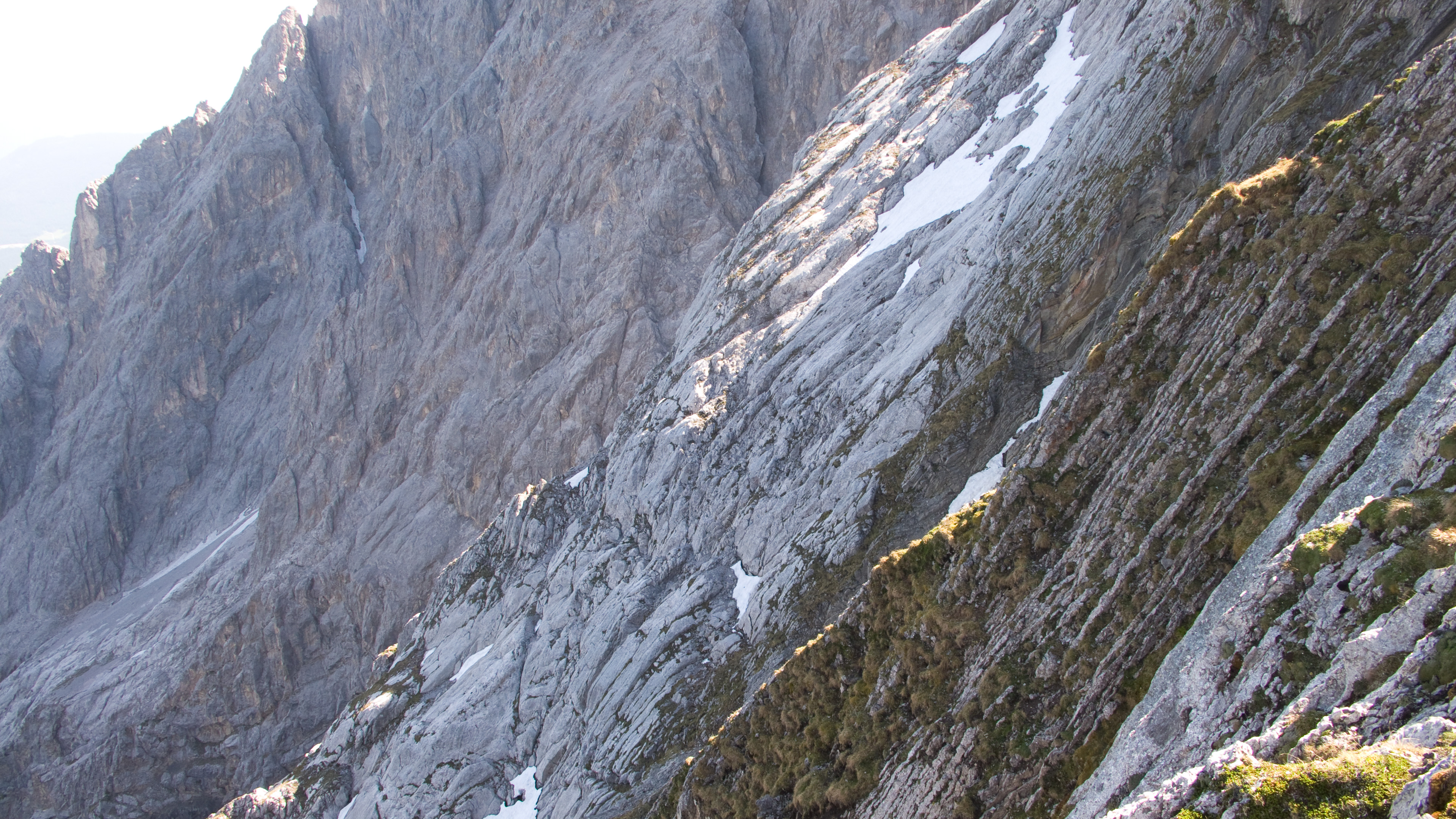
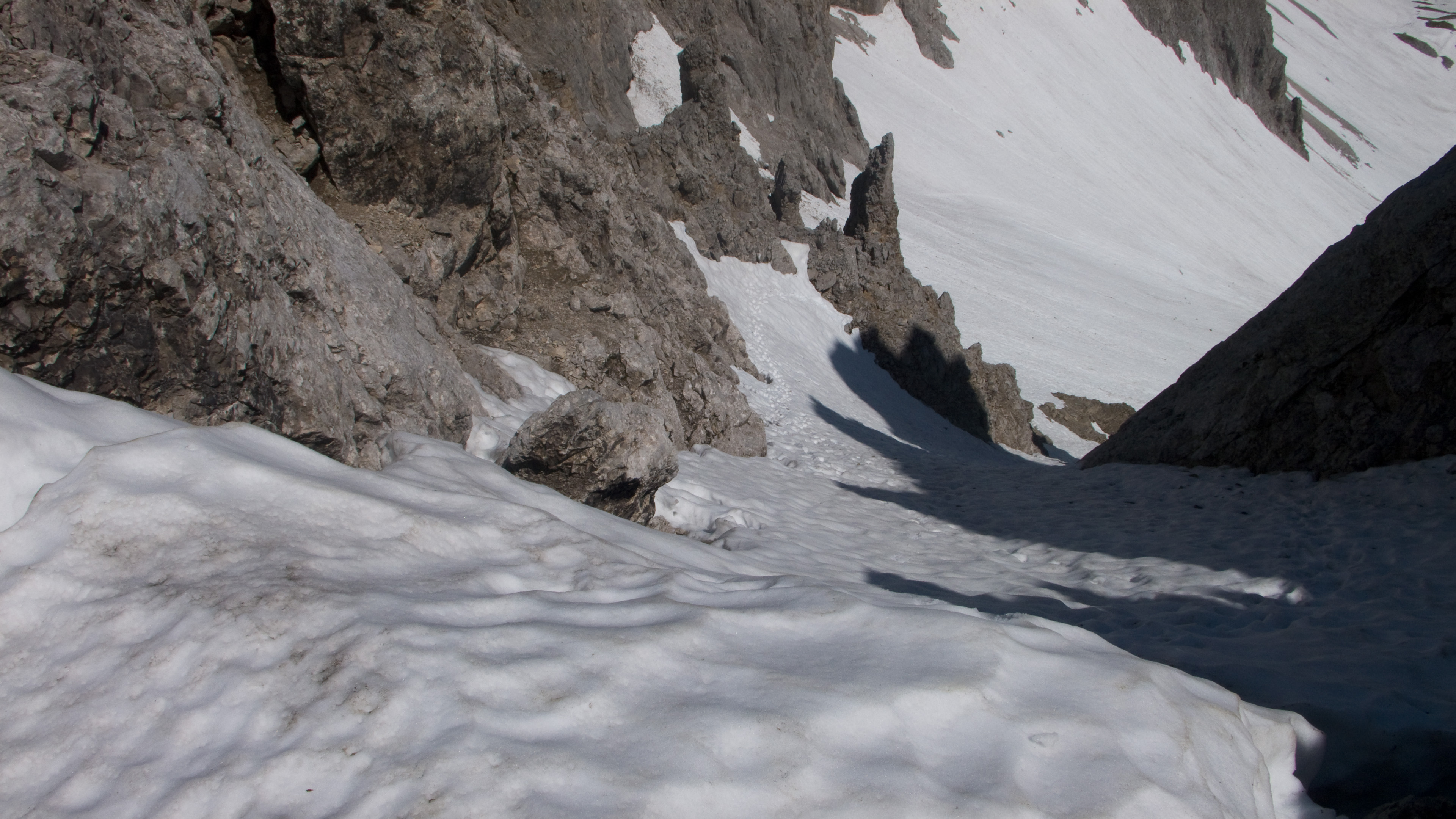
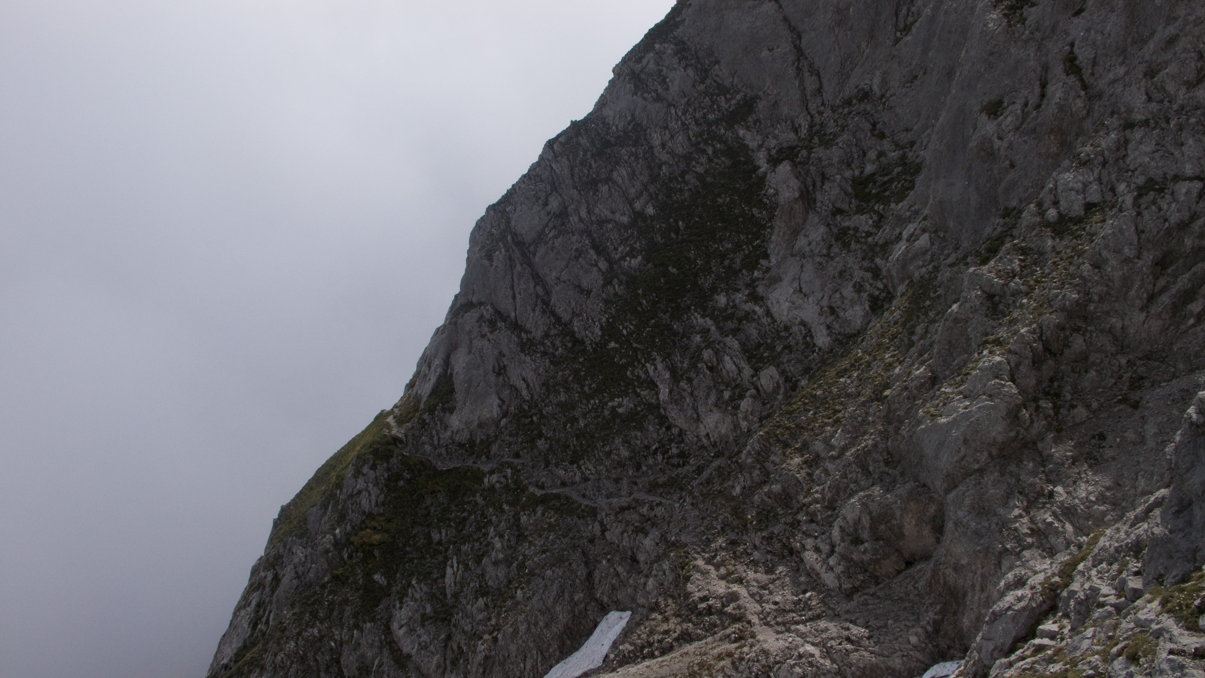
Now extensive snowfields leading to the glacier, then the ladder to get onto the rock. I had some trouble traversing a steep slope with shallow, rotting snow, in order to gain a more secure ramp where the protected cable path begins. In my winter climb a few years ago, this spot was the crux. It was only a little easier now. To keep things fun, I resolved not to touch the cable. For me, the problem is that if I start touching the cable, then I start yarding on it, and pretty soon the enjoyable mental hum a climber feels on steep snowy terrain is dead. Without the cable, I have to think about the solidity of the handhold or axe placement, about my boot and whether the snow-step will collapse. I like that stuff, that's what I came for. Anyway, the cable was buried under snow for significant portions.
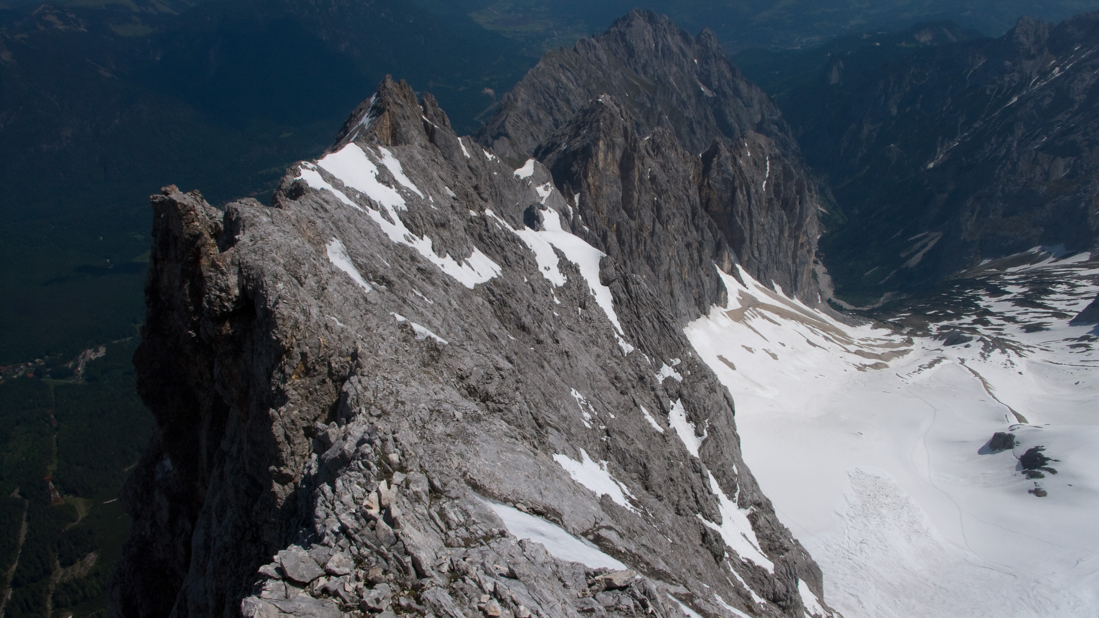
Steadily increasing views and clear blue sky, with the occasional avalanche off the main face for dramatic effect. Yeah...this is fun. It was a work day, and early in the season, so I had solitude. Eventually I got close to the point where the ridge meets the main face, and curiously, I saw the fast soloist ahead of me looking back at me...I was much closer to him now. Soon I would understand why he did this.
The cable now buried, the steps in snow seemed to disappear. This area of the wall received more sun than any other, and I realized that the soloists steps had already melted and disintegrated into water. But he seemed to have gone up at this point rather than try to stick to the cable, which I saw emerging from the snow 50 meters hard left. The angle seemed a bit lower above too. It wasn't easy, and I really had to work to make secure steps as snow fell away to reveal smooth slabs. Finally, the crux moment came trying to leave the snow for a rock buttress. Finger and toe holds at off angles had to suffice before I made it to friendlier ground. Now I was on the ridge between the Zugspitze and the Riffelscharte. There was fun climbing here, with some hand traverses on knife-edged rock. I turned to see the soloist apparently decided I'd be okay, and was now on the exit slopes. "Thanks, fella," I thought to myself. I hoped the guys well below would be alright there, as even my passage destroyed as much snow as it improved...I felt my steps collapse even as I left them!
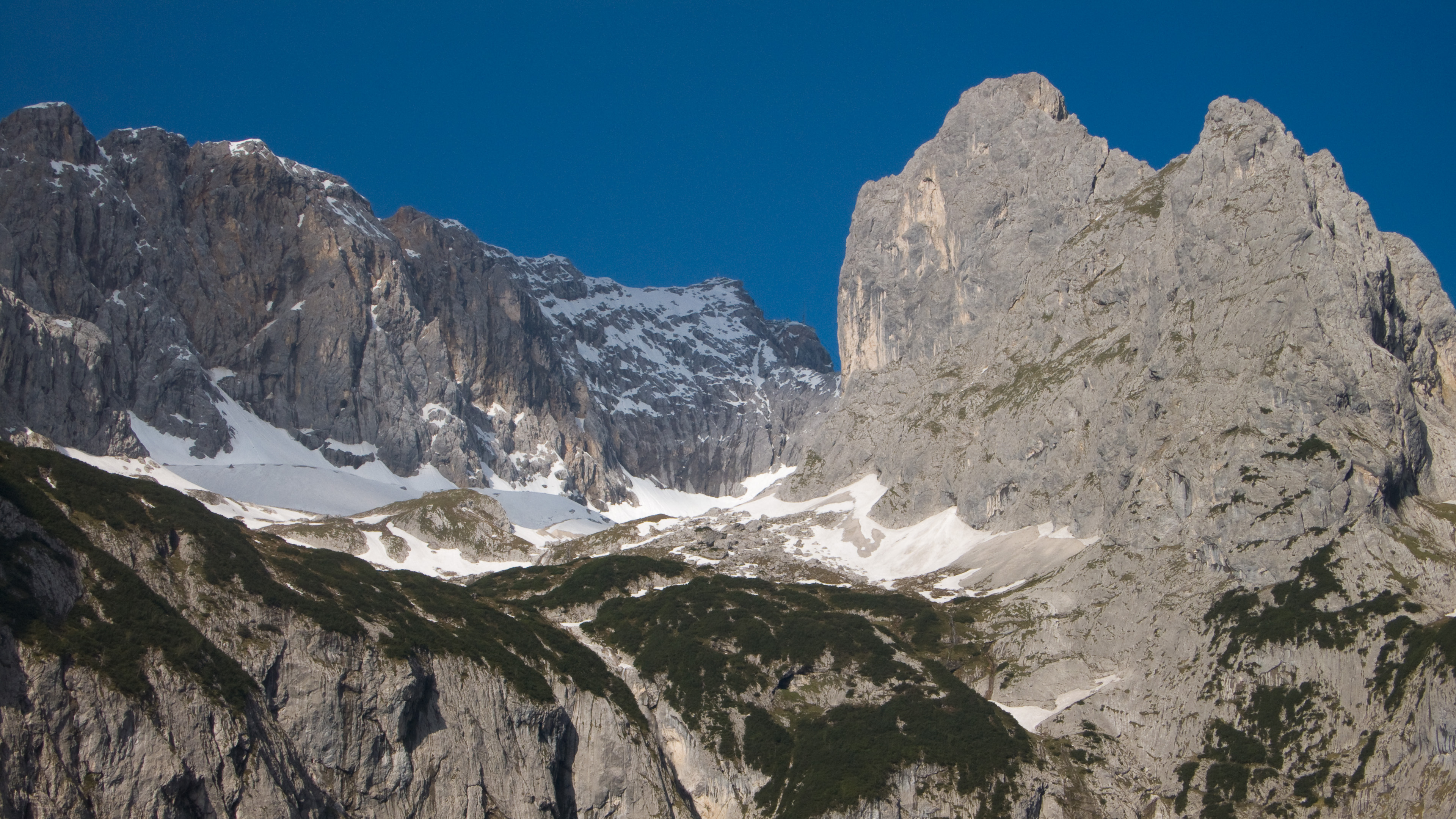
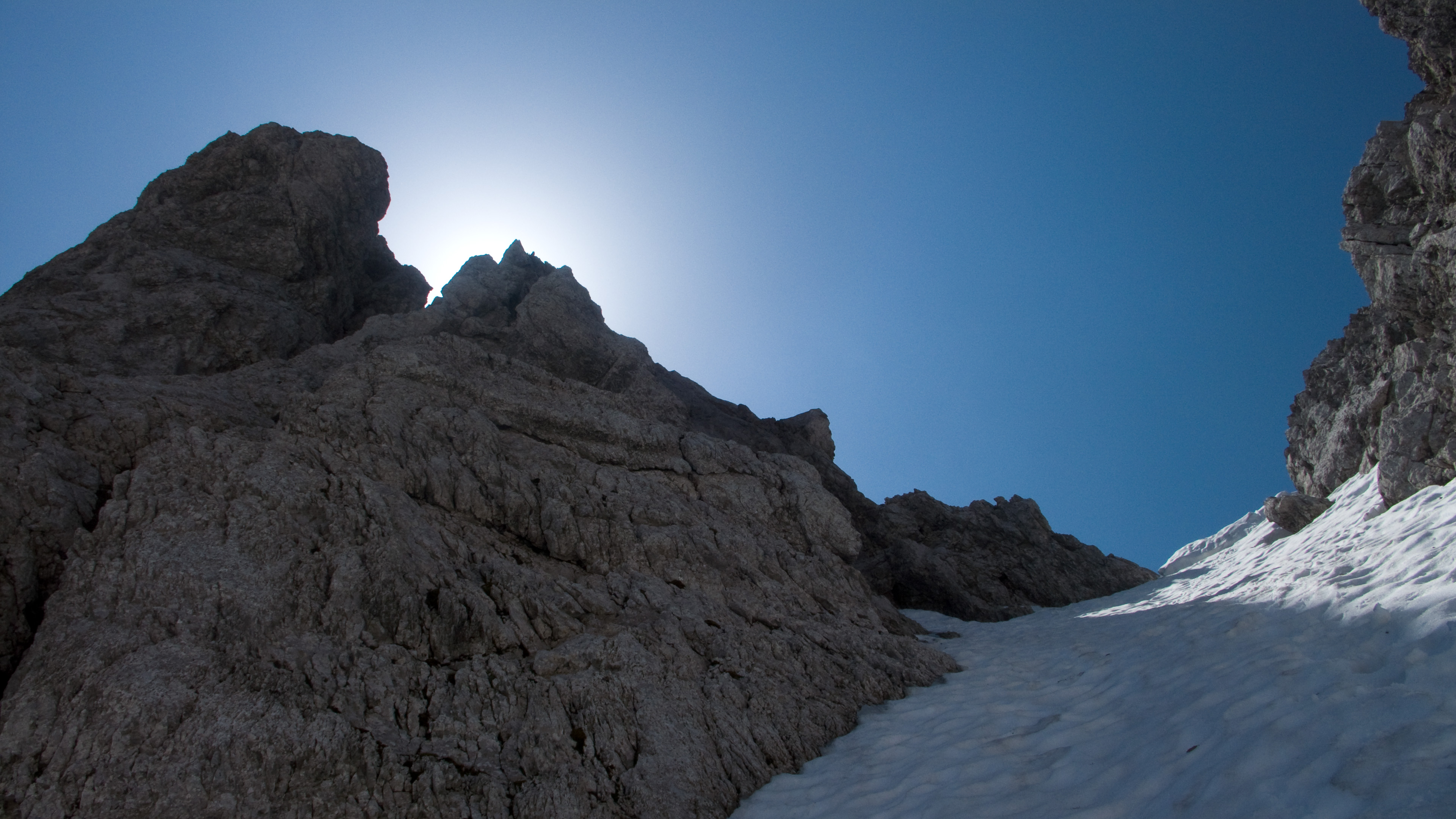
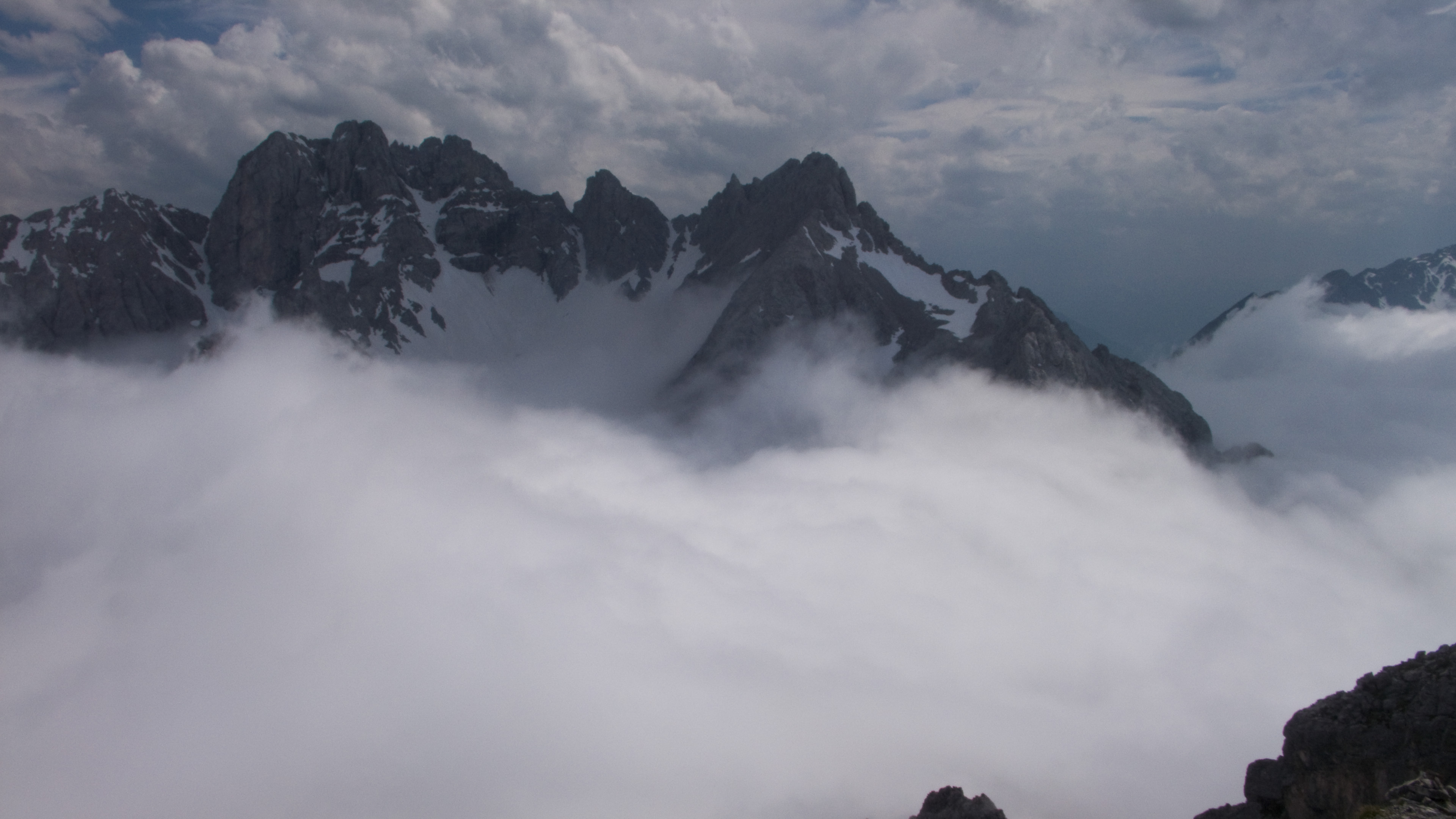
I ignored the cable which appeared and disappeared from snow, and just followed my nose up to the summit. I looked across to the Alpspitze, along the famous Jubiläumsgrat which makes a thrilling winter climb. I figured it was more dangerous now than in deeper winter: huge cornices still decorated the ridge, and with such rotten snow they must be bombs primed to explode. That was one of my solo ideas for today, I was glad I'd discarded it.
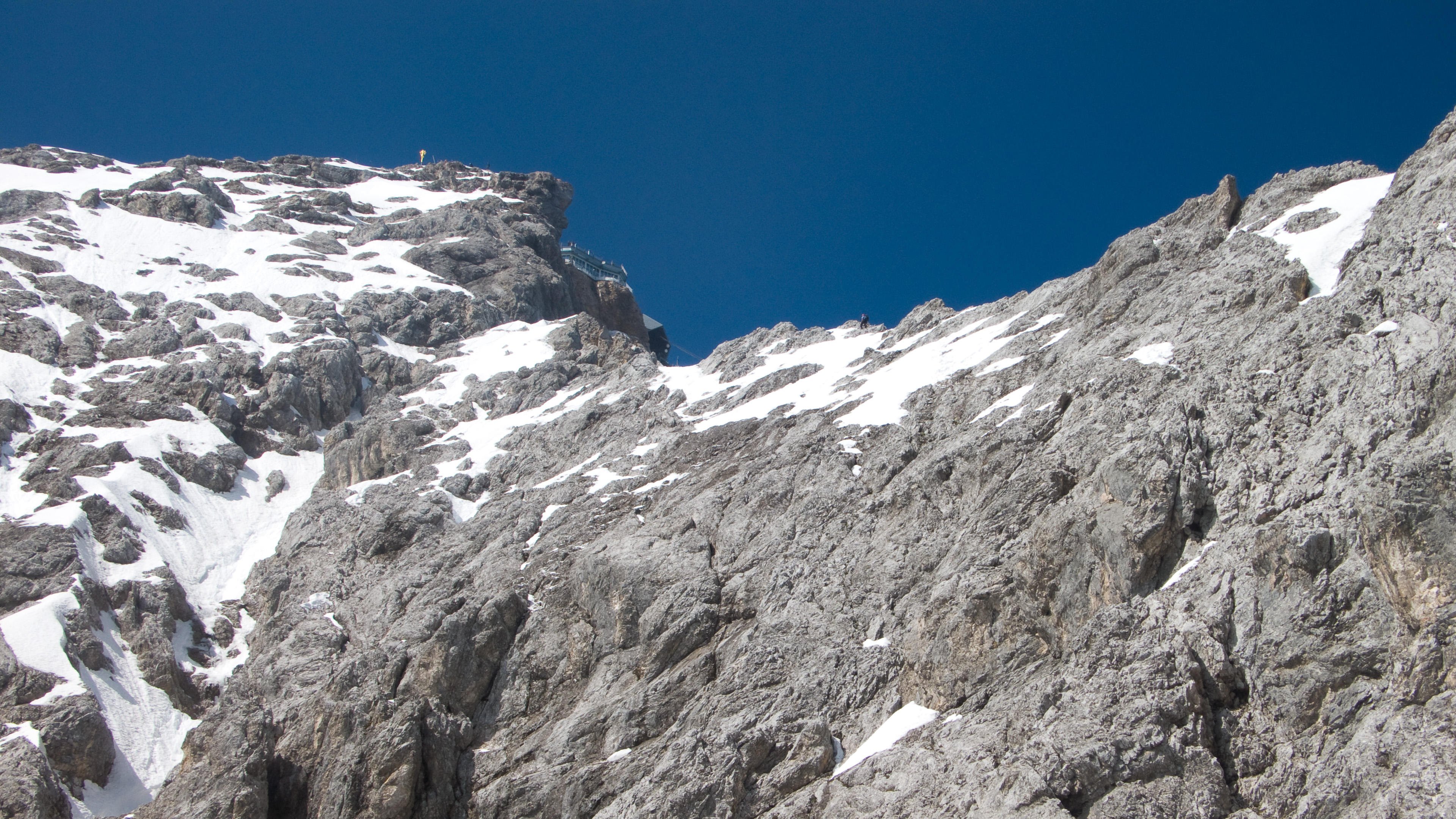
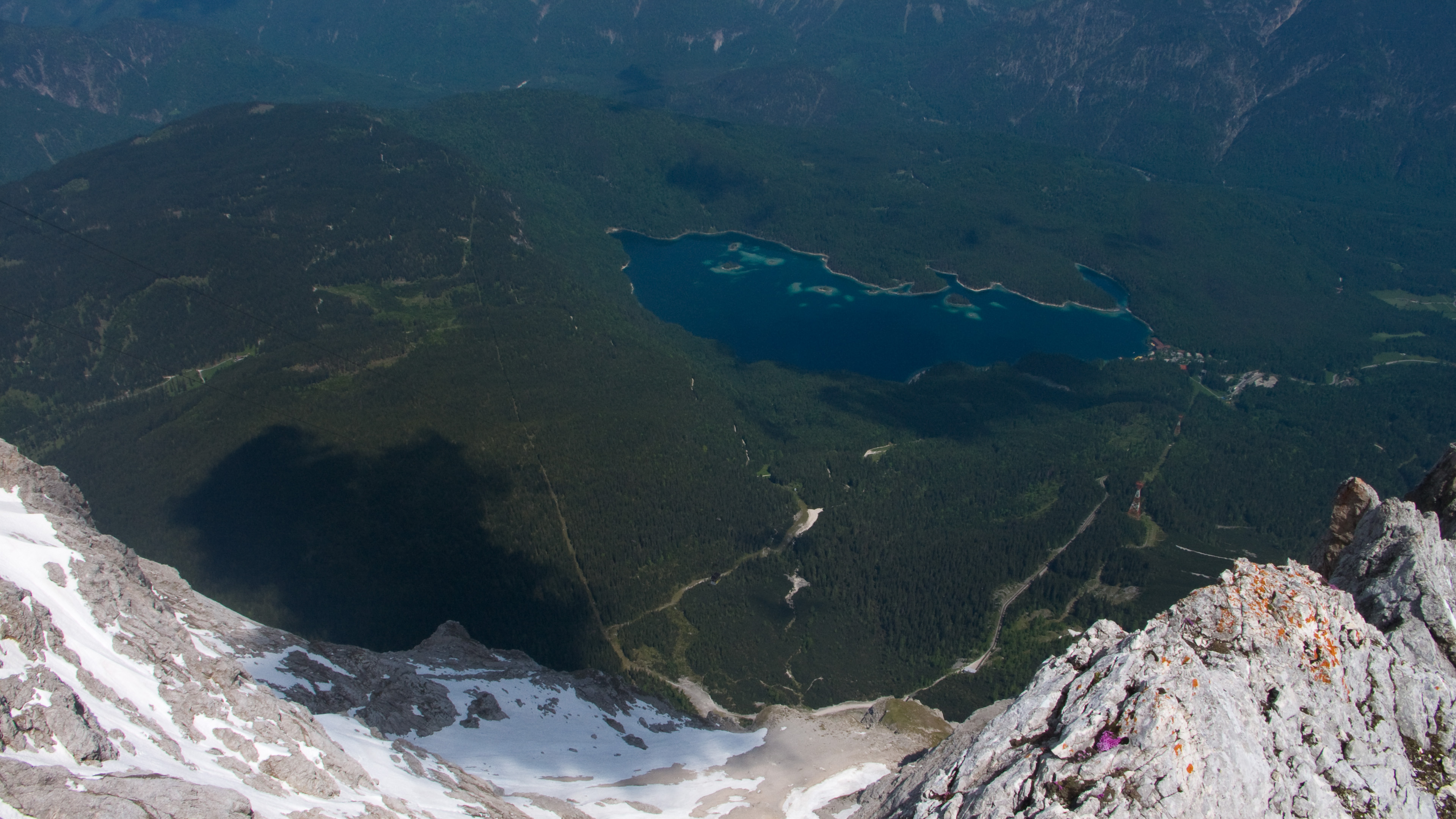
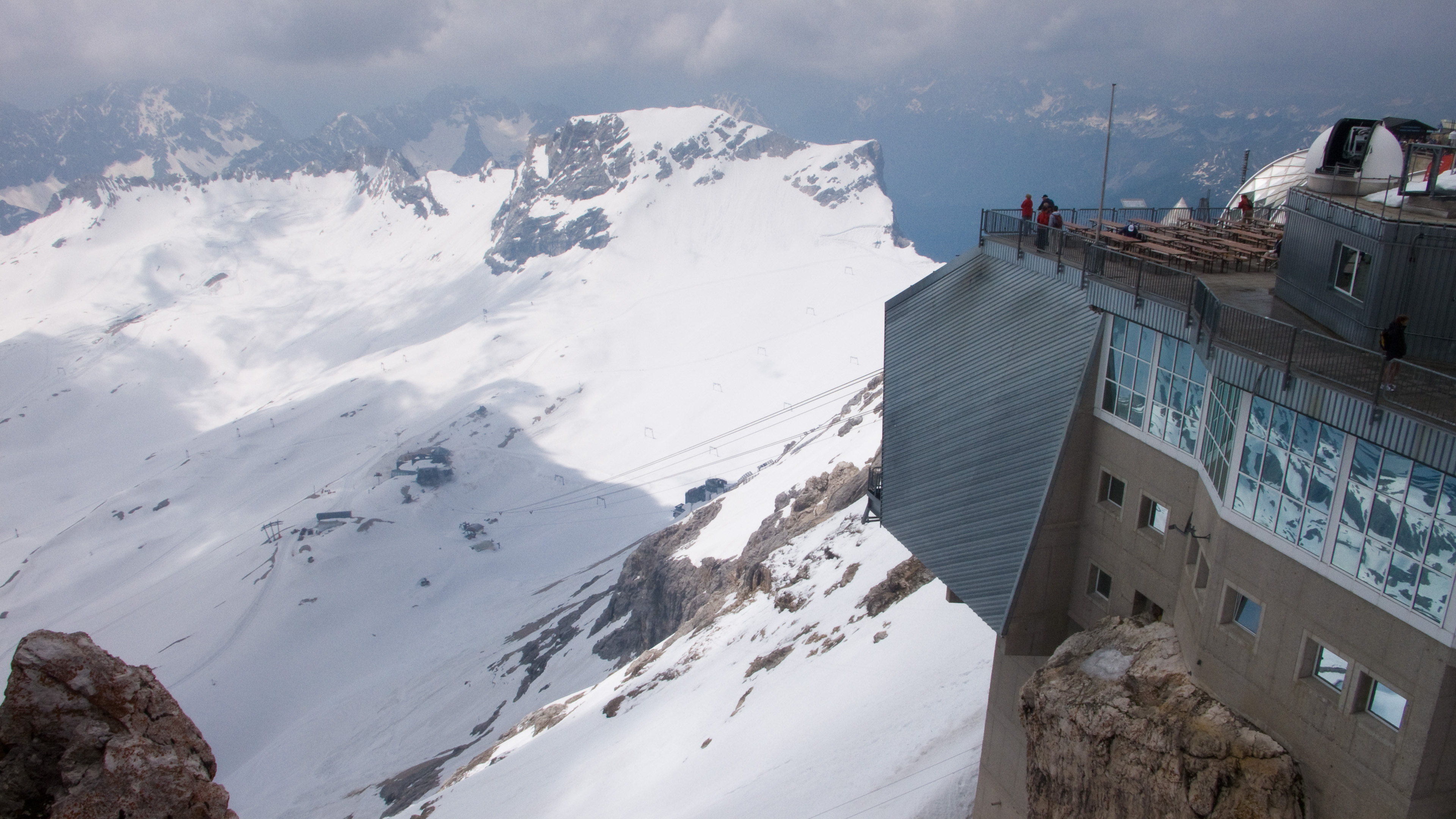
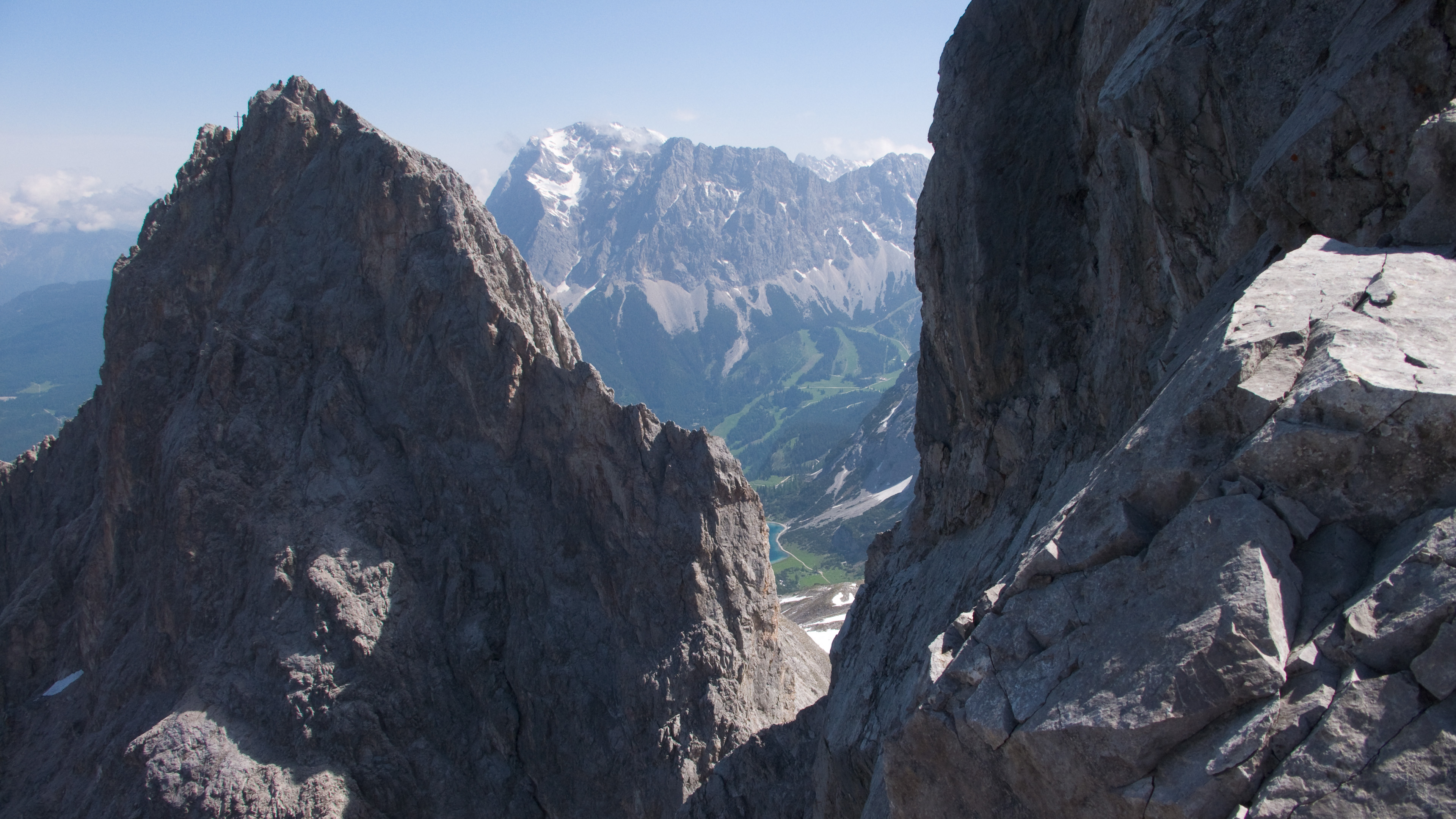
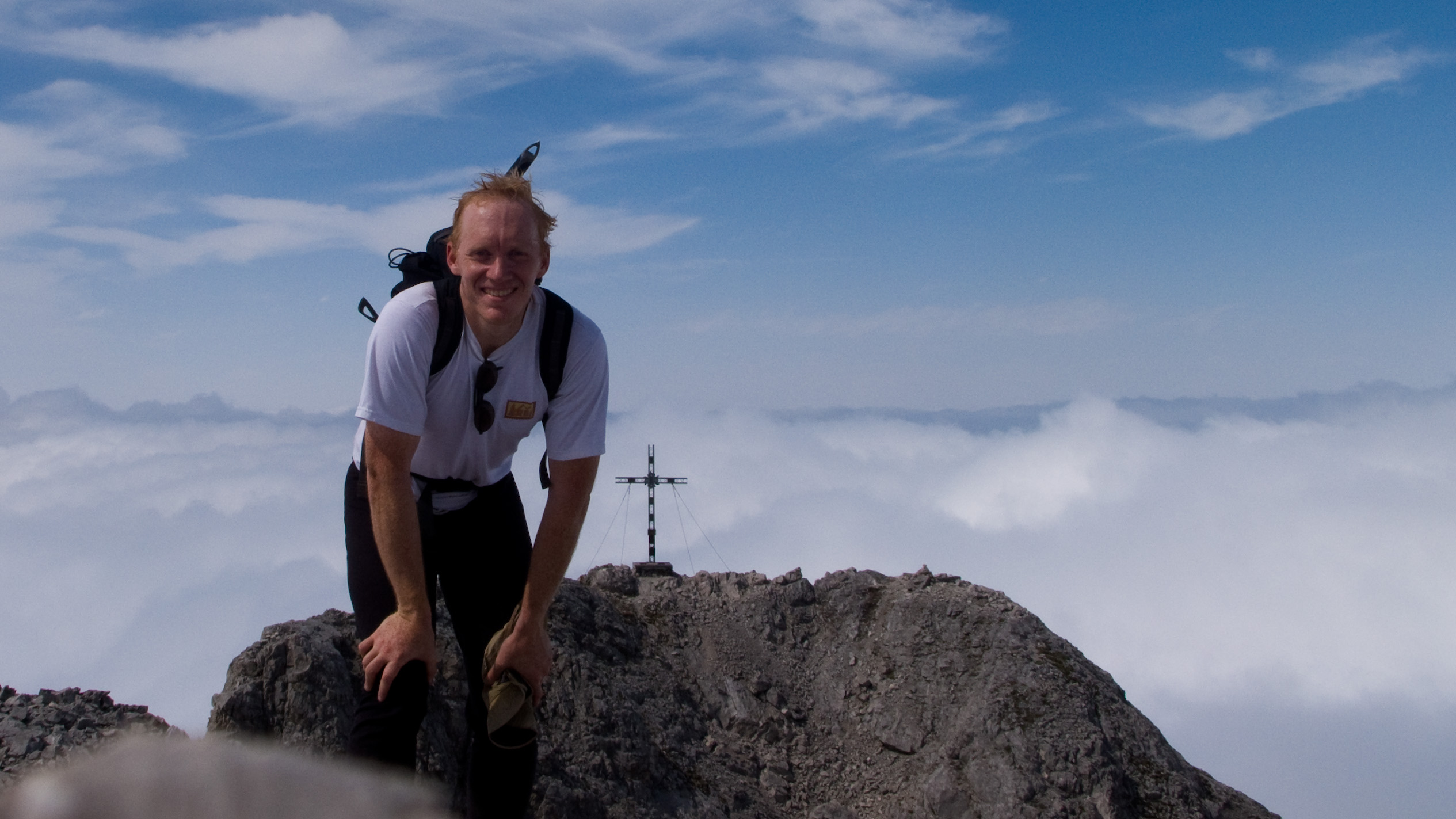
On top I gave a last fond look to the Höllental. I was now at two borders: one between Germany and Austria, another between some small idea of wilderness and the massive works of civilization. Turning away, I saw a hundred eyes looking at me from the ginormous summit complex of the Zugspitzebahn. They tracked me as I climbed down a ladder and crunched across to the building. I was pleasantly surprised to find a plastic bottle here. Enough people were looking down at me I felt compelled to narrate: "My Platypus is broken and I need something to hold water," I announced in broken German. Murmurs of understanding rippled through the crowd, and I stepped onto the platform feeling like an astronaut!
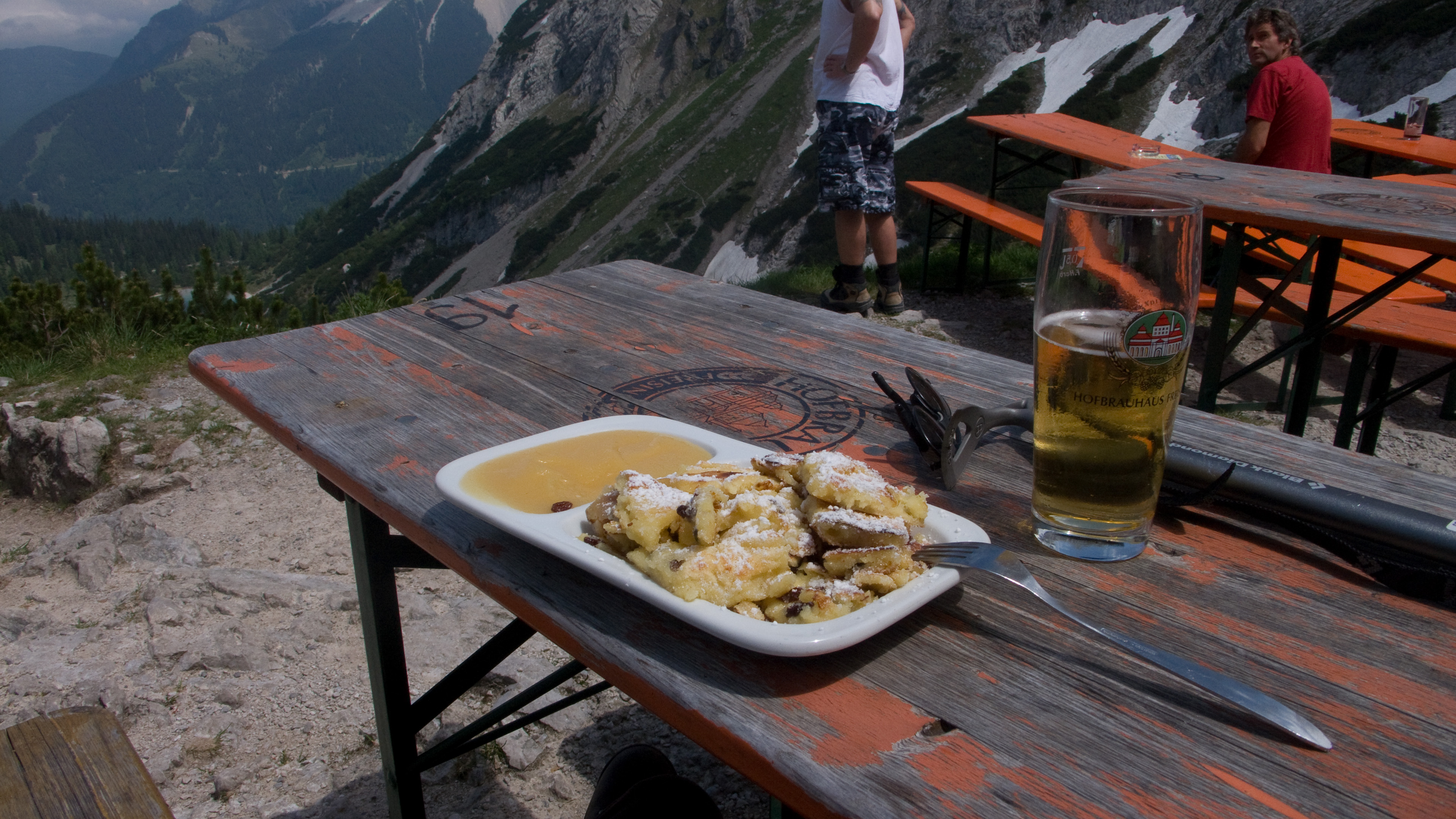
Lunchtime!
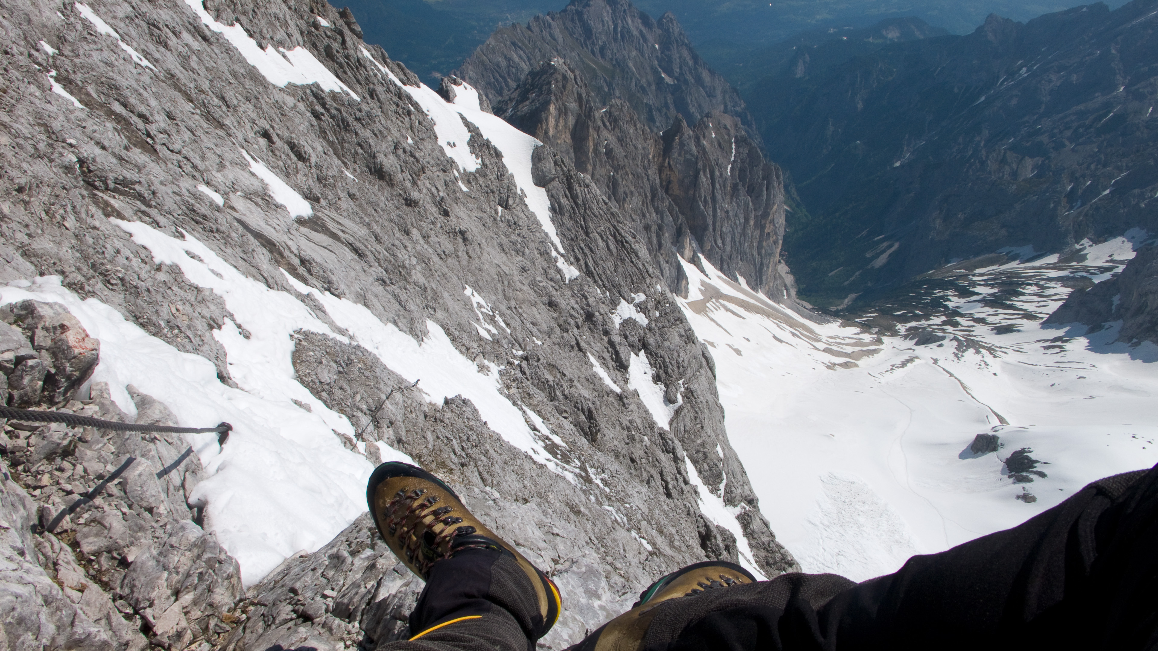
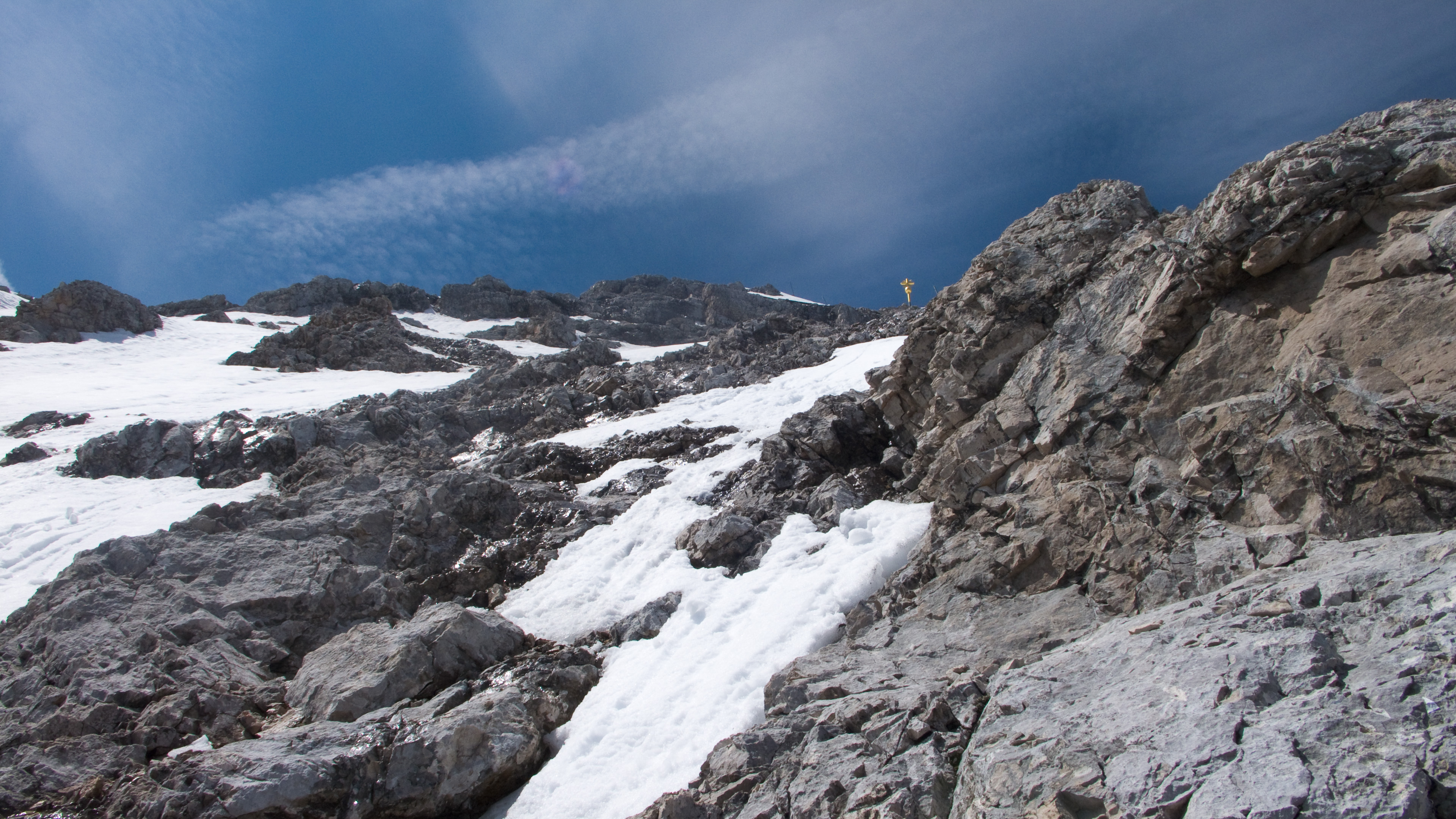
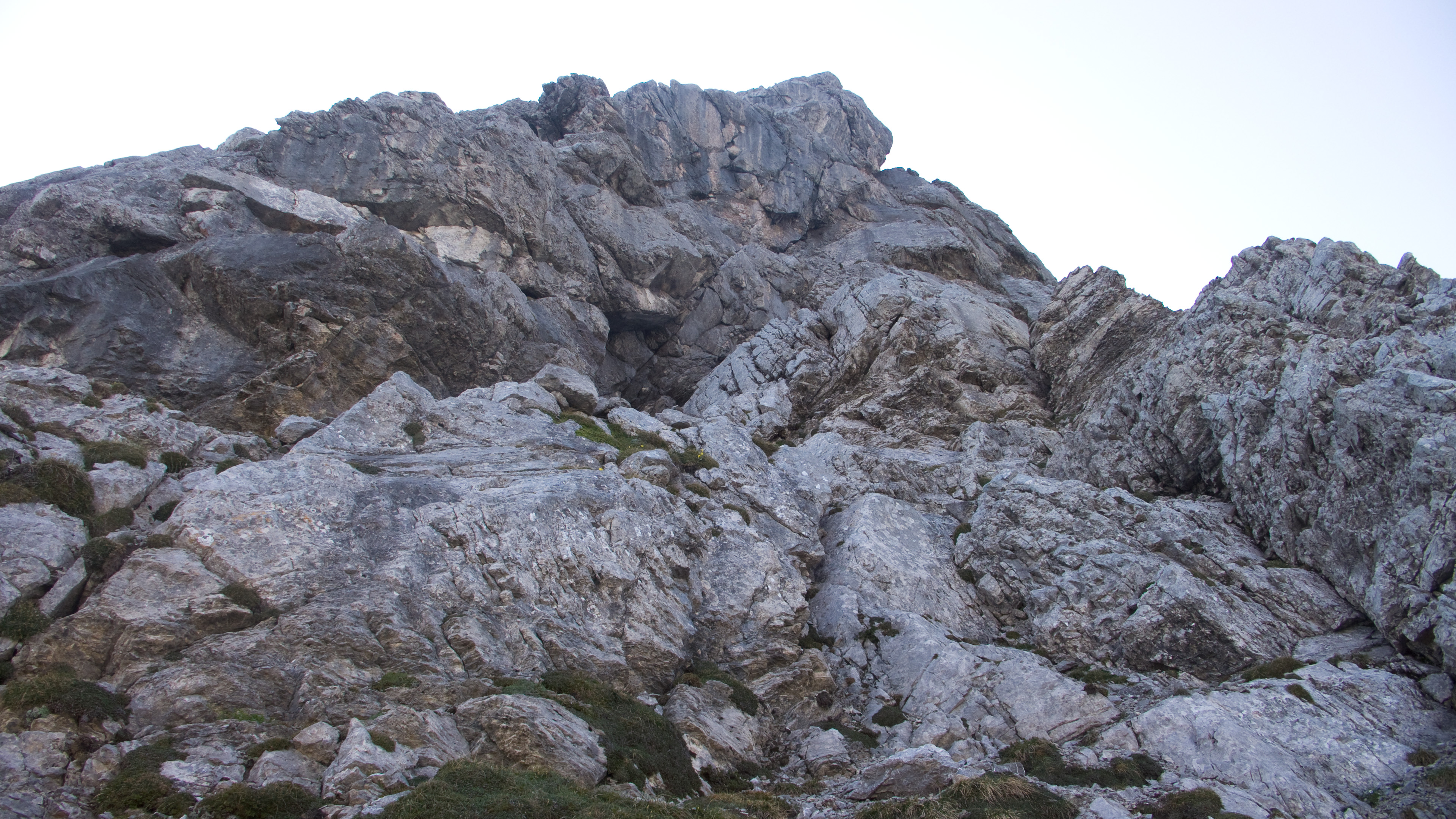
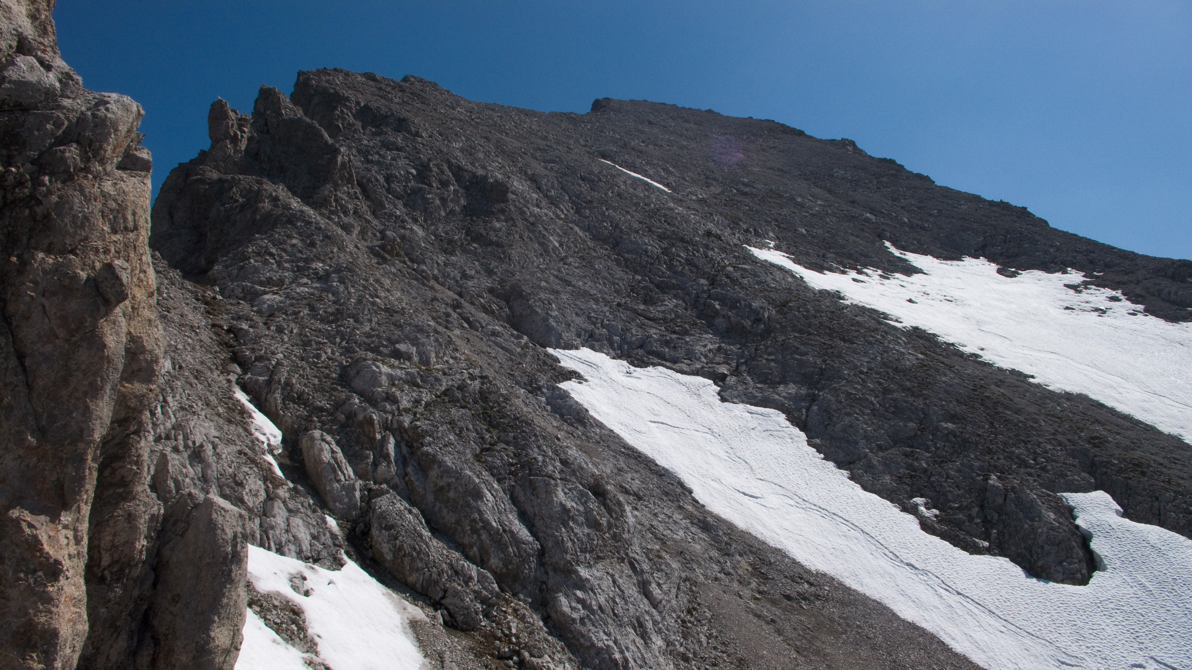
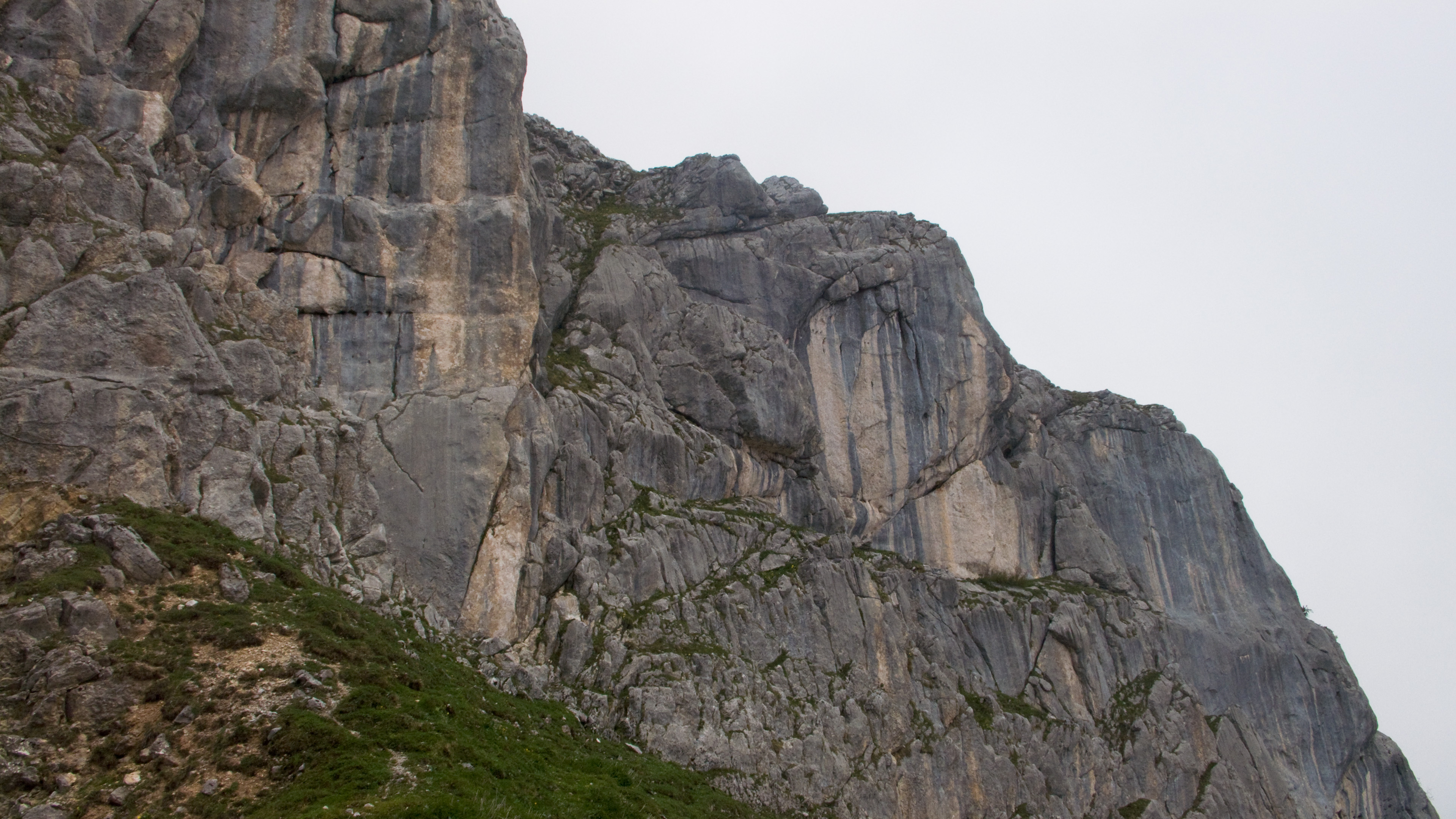
The crux of the climb was the transition between snow and rock just below.

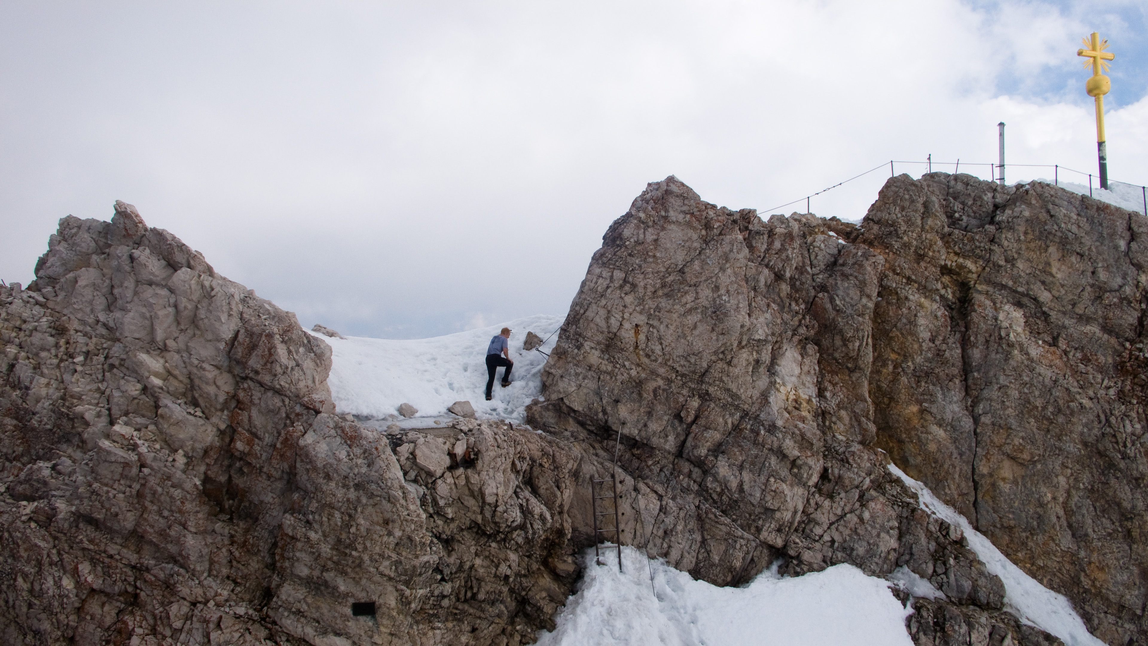
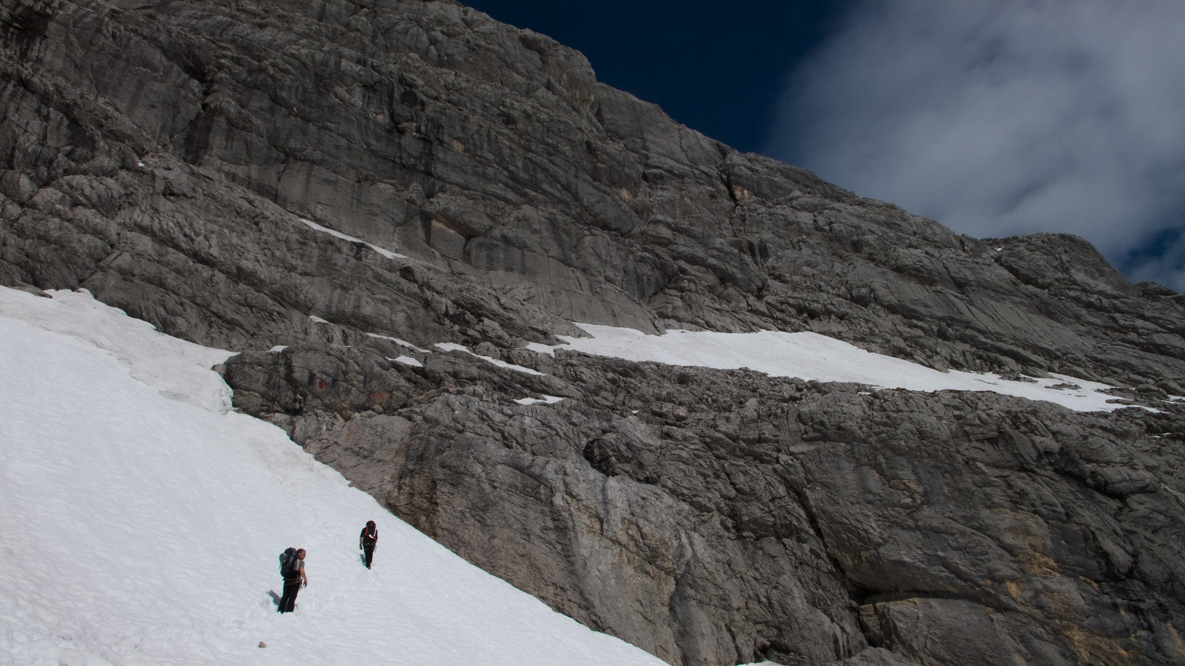
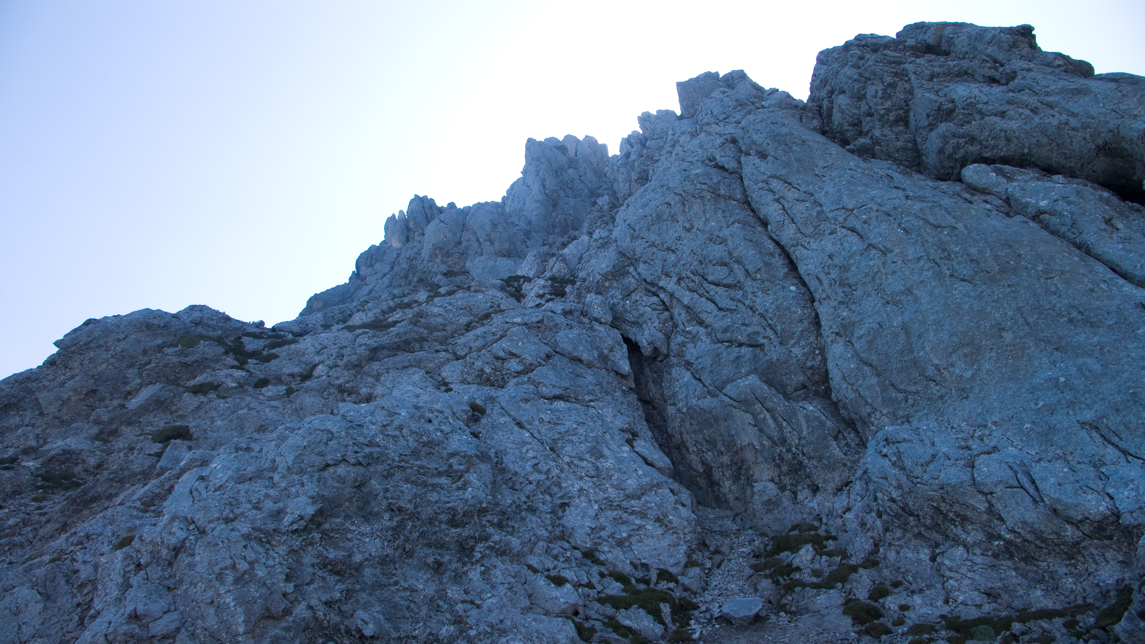
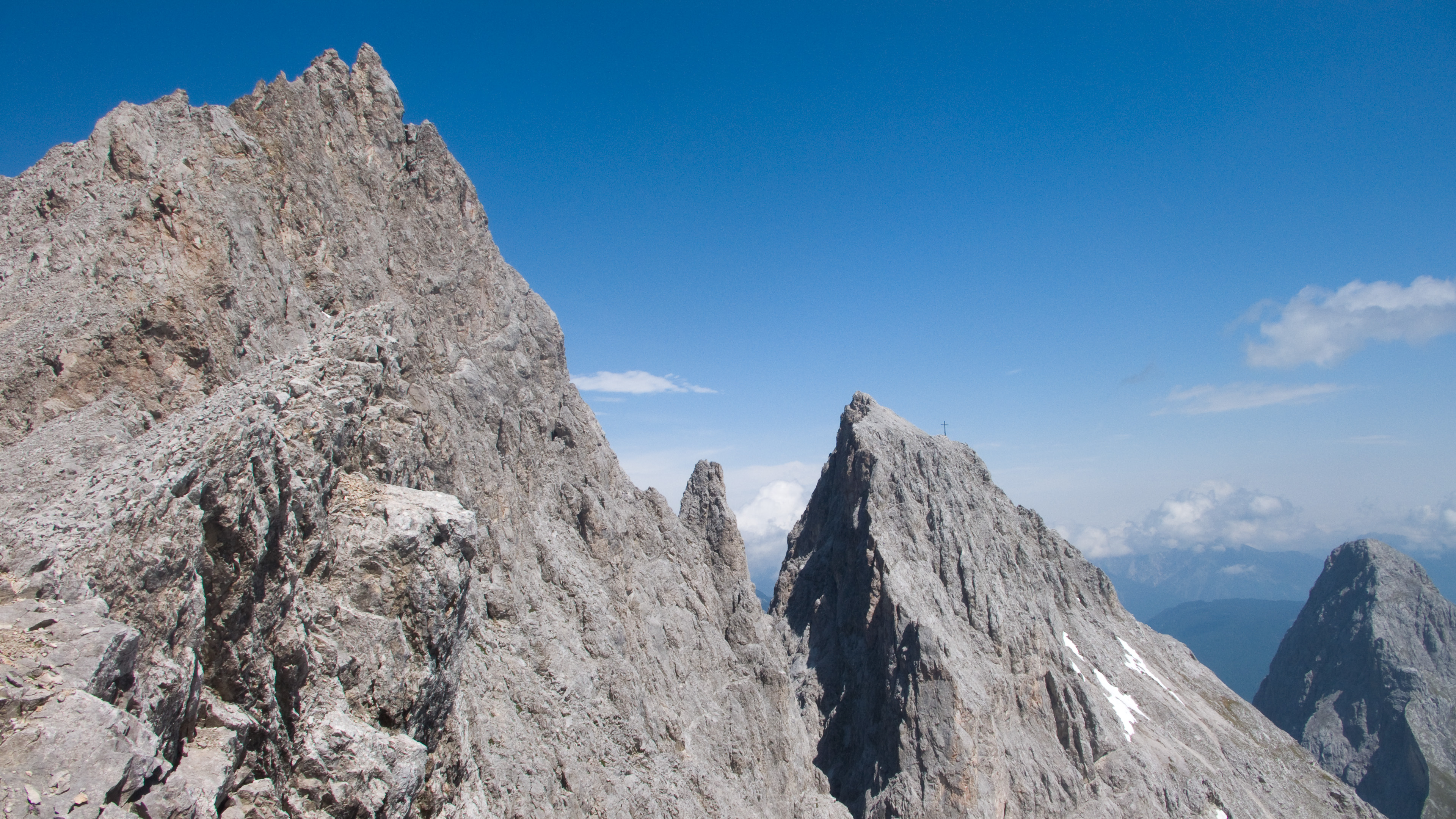
Dramatic summit climb "re-enactment"
I fell to talking with a nice couple from near Dresden. Staunch traditionalists from the Elbsandstein Mountains, they decried the use of bolts, even pitons. In their mountains, a climber can only set out with a rack full of knotted slings for use in cracks. After 30 minutes of engrossing conversation, I left, promising to visit one day and climb some classic routes.
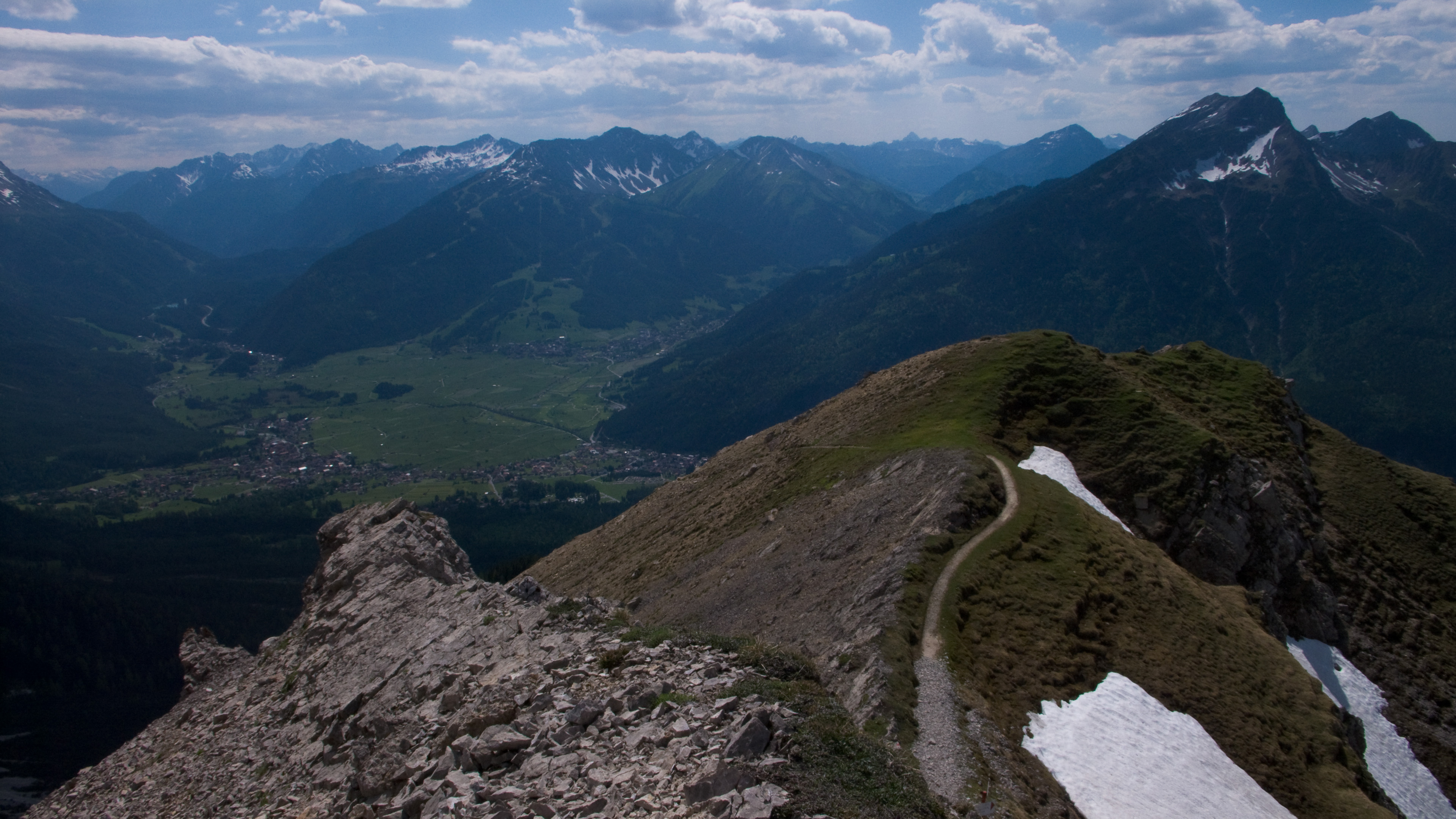
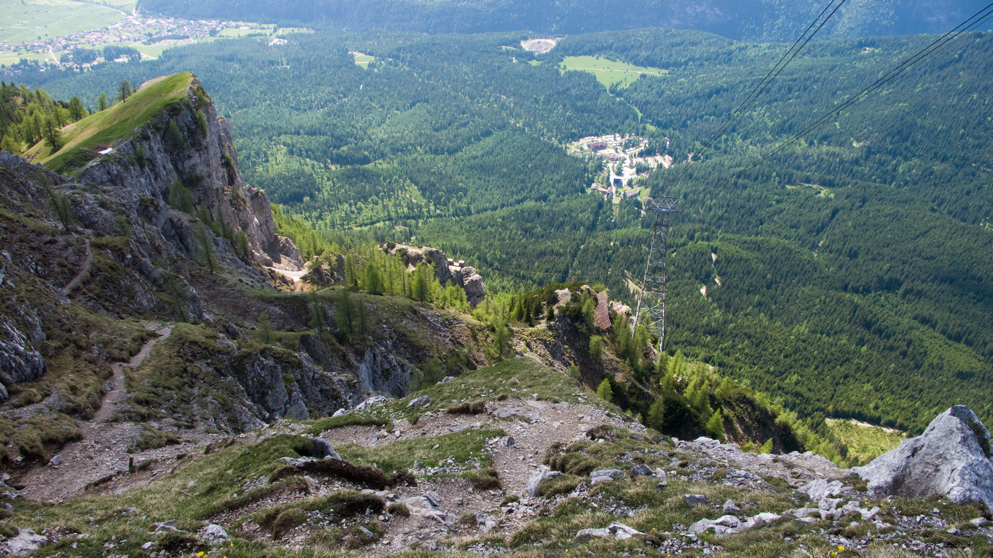
But I left too hastily. I'd planned to get some water and to really figure out my descent route, but I failed to do either. I started down a ridge that led to a radio tower, but before I went too far I thought I'd better look at the map. I was making for the Wiener Neustadter Hütte, and my low resolution hiking map (I know) showed it going right under the lift from the upper station. Hmm, maybe I already went too far down this subsidiary ridge. I traversed a slope to right under the station, and figured to kick steps back up and look down on the other side of another ridge. If I saw the route there fine, if not, then I must already be on the right track.
At the station an employee came out and accosted me. "You are going the wrong way!" he said. I tried to explain that I was just confirming my route for myself, but this led to lots of confusing back and forth. He sounded so certain that I was dangerously off base, contrary to my map, I decided to go back in the station and see him. He kindly showed me the right way. Basically if I'd gone 50 more meters on the ridge, I'd see some faint tracks leading down into the valley. According to my map, and what I could see visually, I could do that right from the station too and meet the route. "No one ever lived who went this way!" was the answer to that! Then he and another employee did their best to convince me to take the lift due to avalanche danger. It didn't make any sense to argue with them, so I just quietly left and stomped back down the ridge to the radio station and the faint tracks.
My feeling about avalanche danger was this: yes, the snow was rotten, but with care it could be traveled. It's been hot for about 4 days now, and the avalanche paths were already clear. The snow is melting fast and the patches that remained are anchored by terrain features. As far as the route, I could see that aside from one notable traverse, it stuck to shallow ridges which offered more safety than faces. I was sad that I'd left a couple of people back at the building thinking I was a mad-man, but it also seems true that people in buildings easily think it's crazy to go outside. I dunno. I started down.
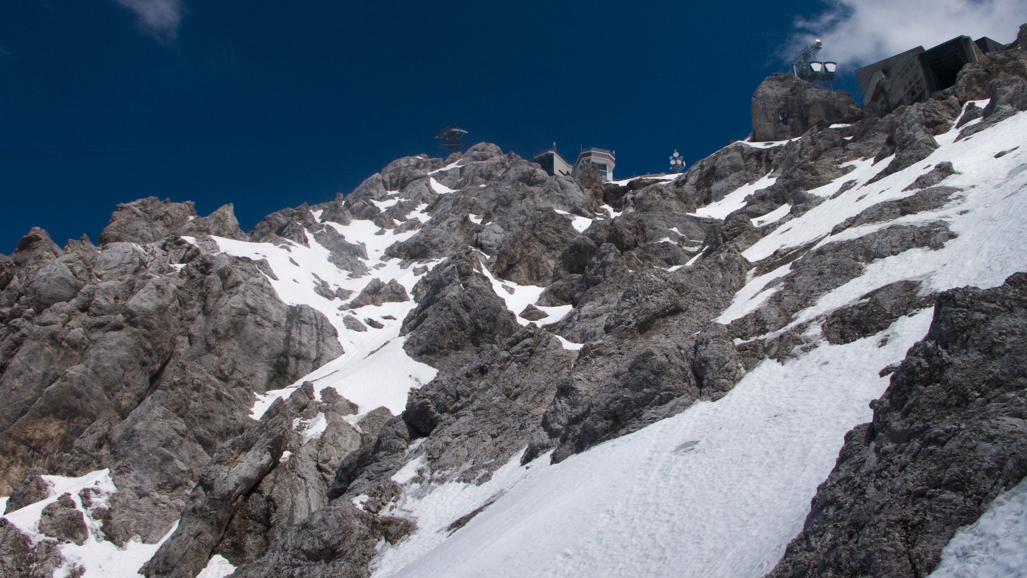
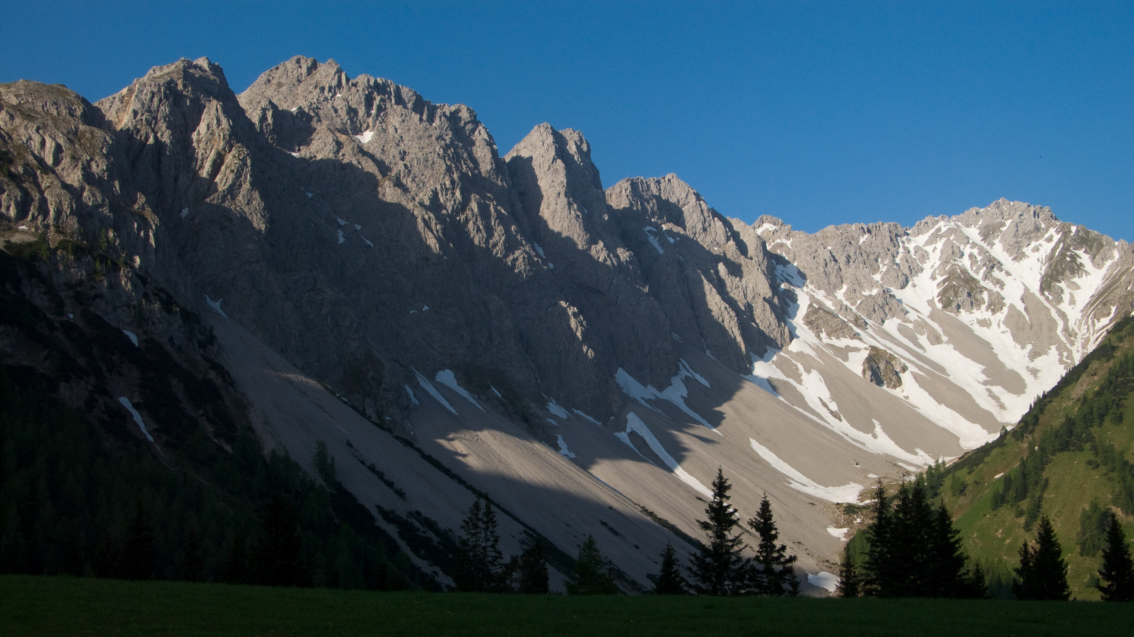
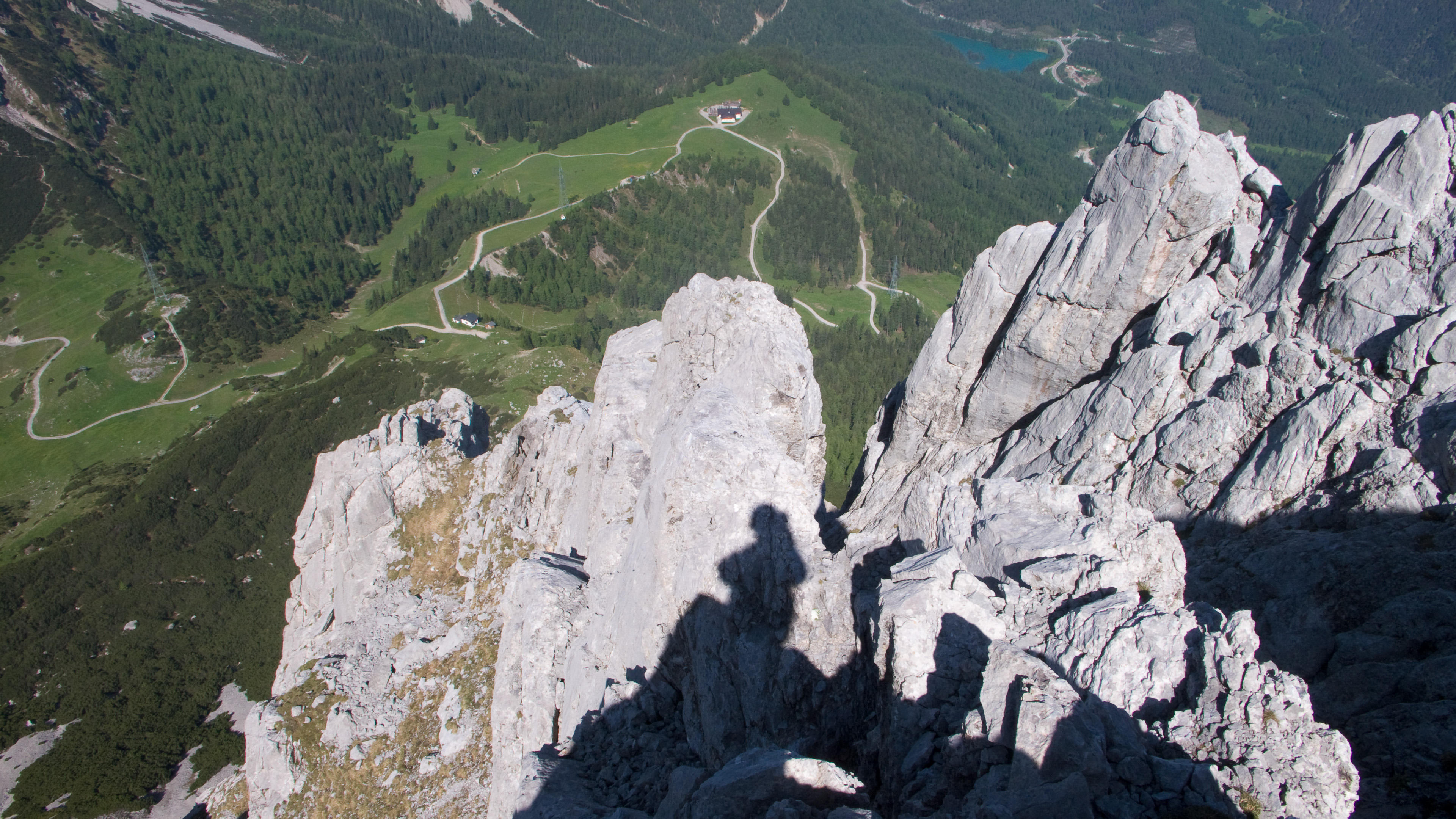
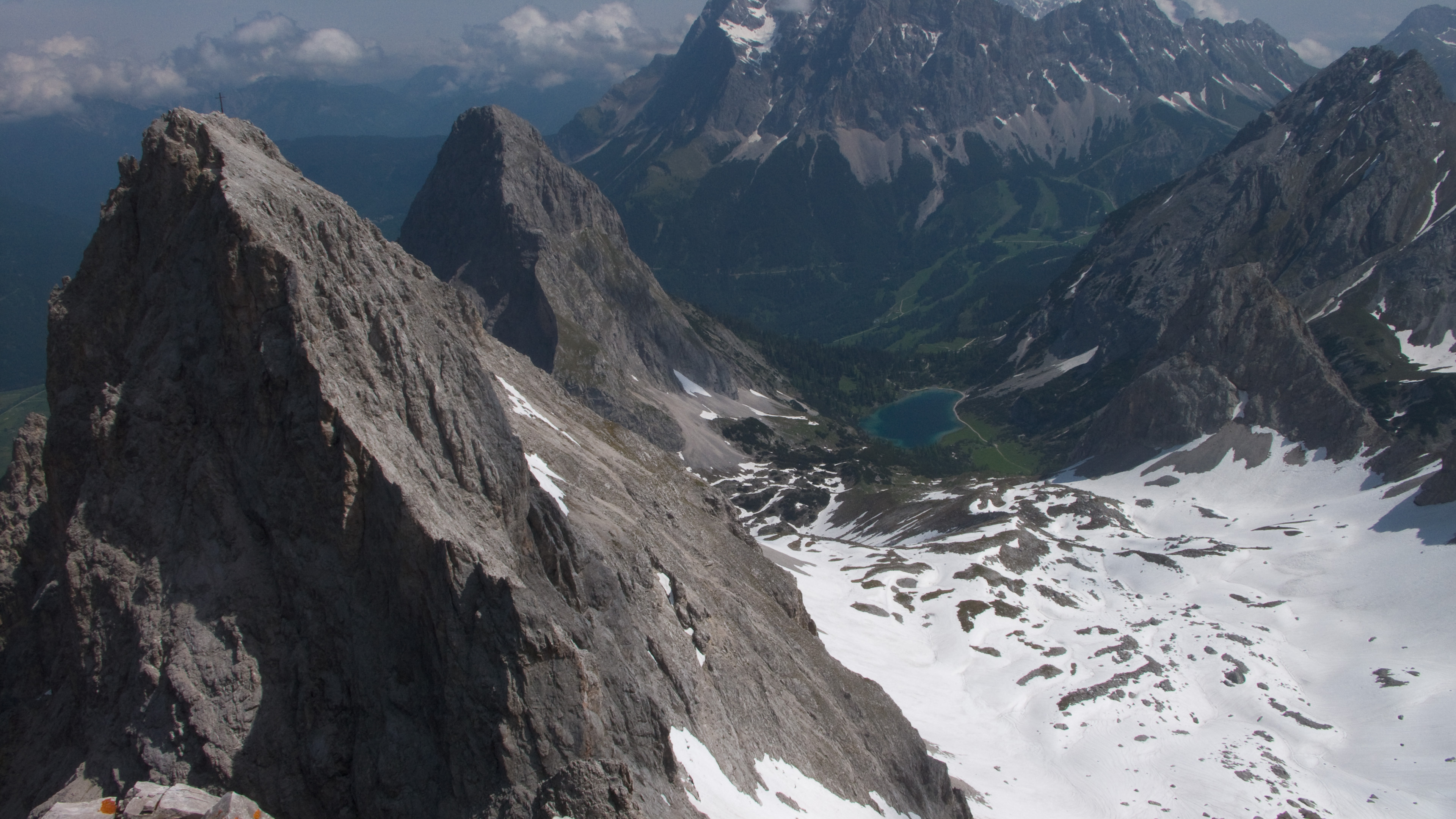
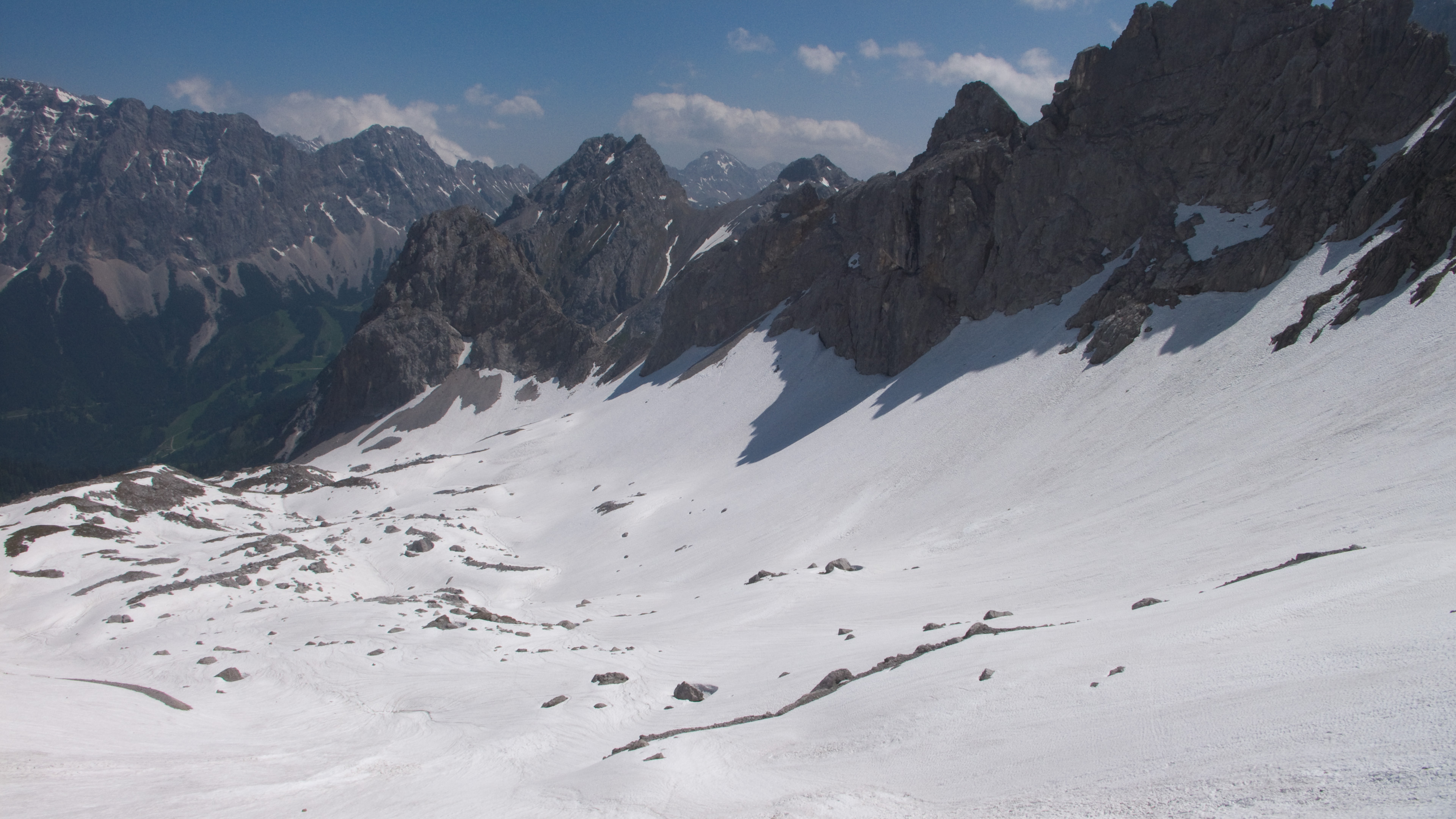
Halfway down the route to the Wiener Neustadter Hütte
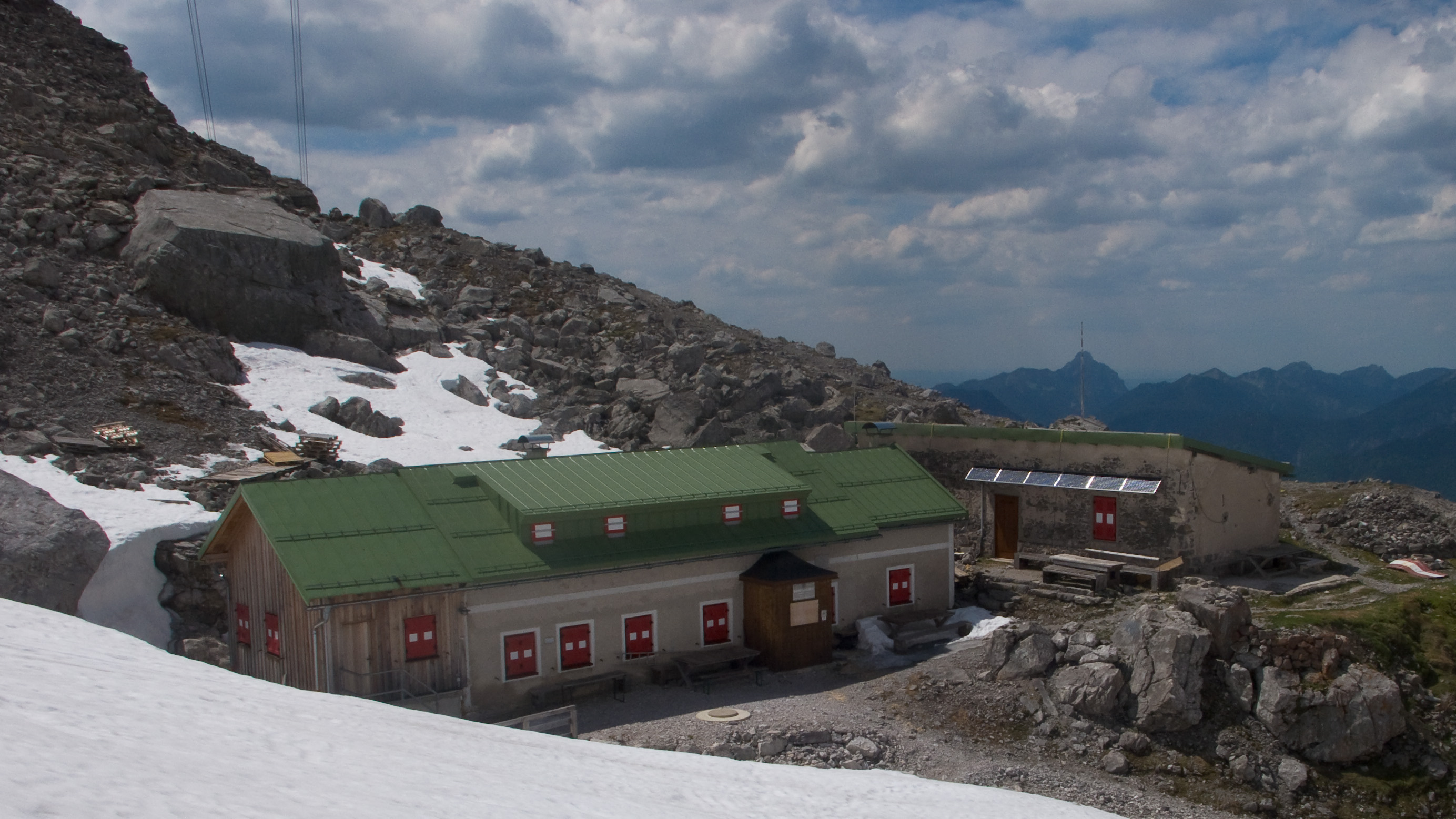
The sadly closed Hütte
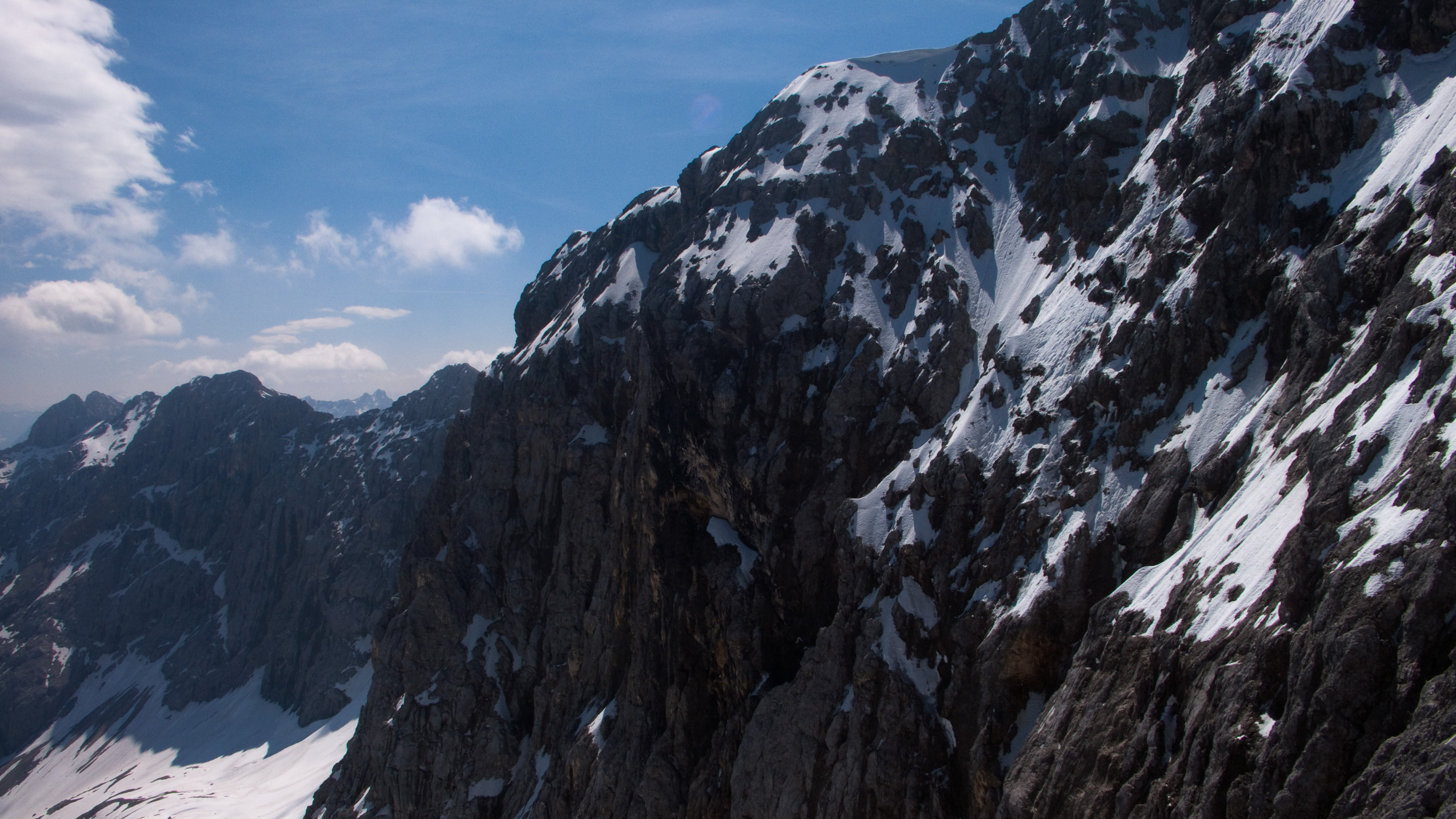
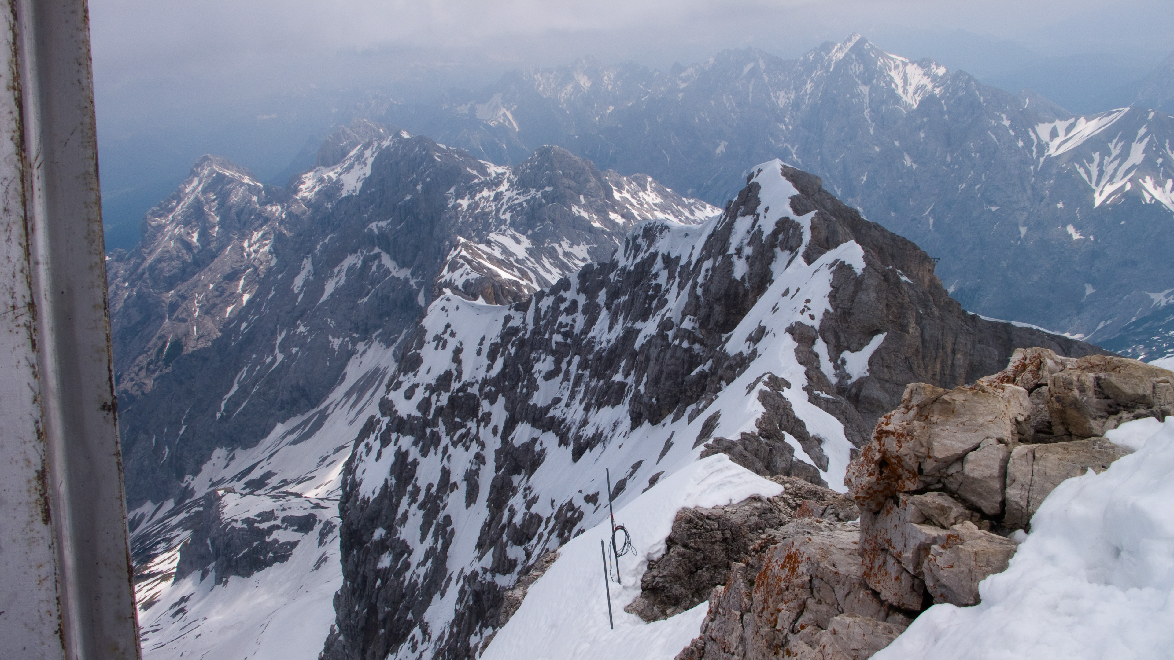
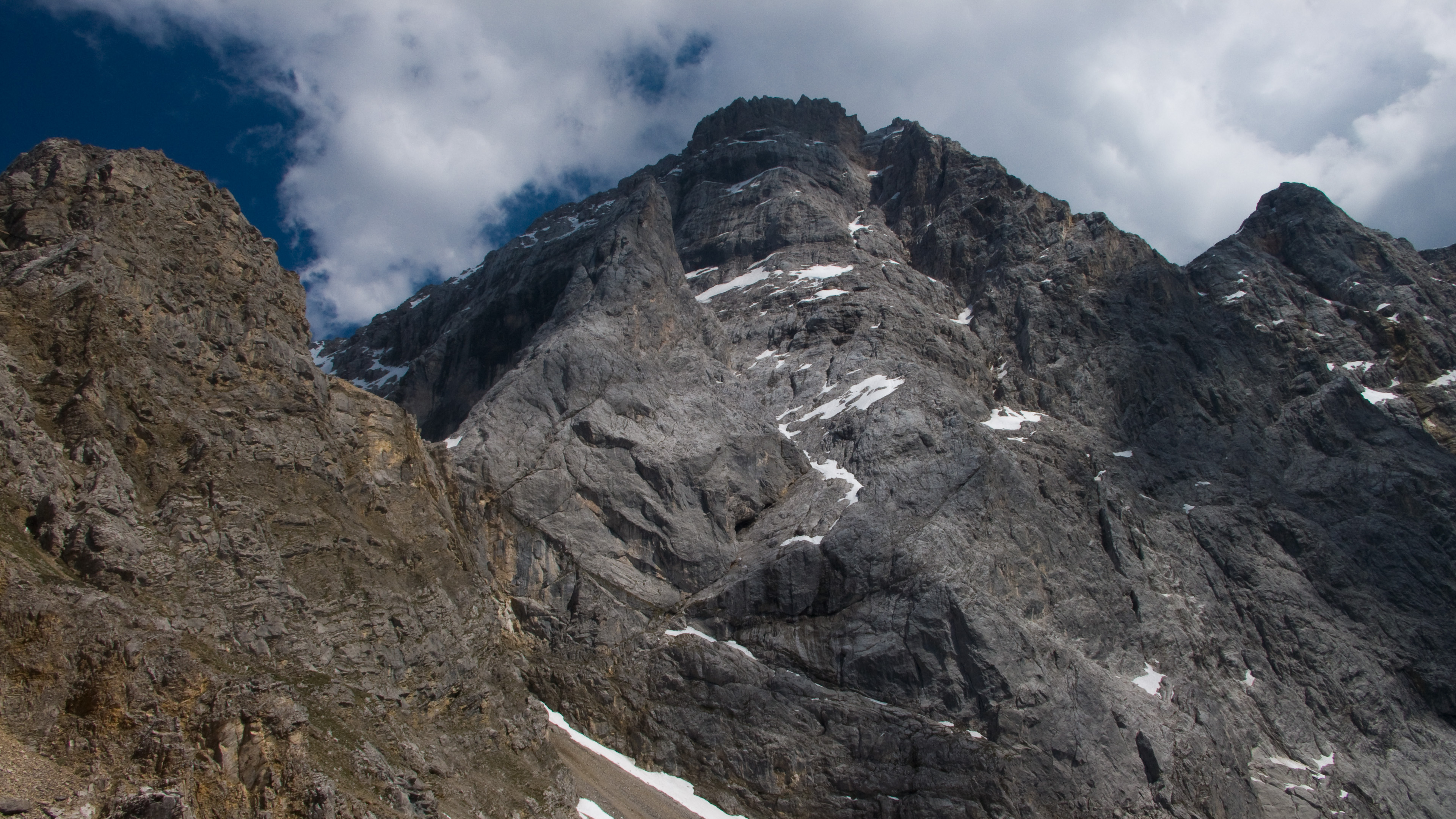
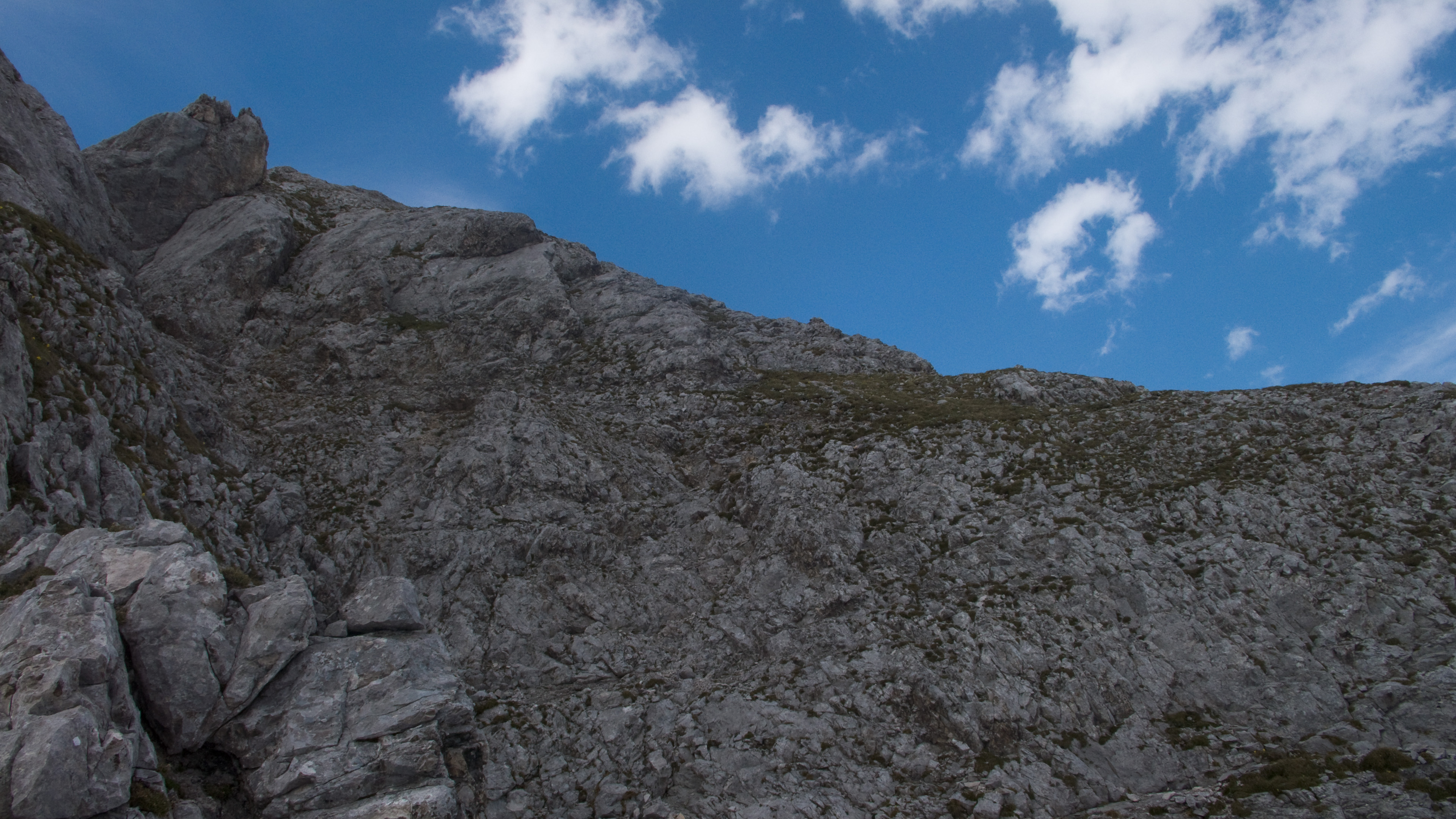
The route descends generally right to left in the picture
The only thing I knew about this route was that it was considered easier than the Höllental ascent, being lower in angle and not having a glacier to traverse. I knew that even if the route was unmarked under snow, I had terrain markers like the hut below, the cable car above and a nose for the lowest angle. With perfect visibility, it seemed fine. Indeed, sections of the metal protected path poked up on ridge crests, and 2-day-old tracks in the snow came from the logical places. My companion was the cable car which sped by, seeming to transmit thoughts like "look at that crazy-man!"
I did have to be careful. Some snow slopes that I would happily plunge-step down in better conditions had to be down-climbed, facing in. Thin, rotten layers over rock had to be treated suspiciously. Other times, broad stretches of 100 meters or more could be dealt with quickly. Hot, tired and thirsty, I ate snow as I carried out the rhythm of kick, kick, axe, and repeat. At one point, I crabbed sideways in a snow-filled cave, feeling for the next place to kick a step and get down another meter. A snippet of metal cable leading into the cave and out was my route confirmation.
Once down, I tromped over to the Wiener Neustadter Hütte, and flopped onto a table. I wish it were open! But I was 3 weeks early. I wrung out my socks for the second time that day, and poured lots of water out of my boots. I really need to waterproof them! My gloves were heavy sponges.
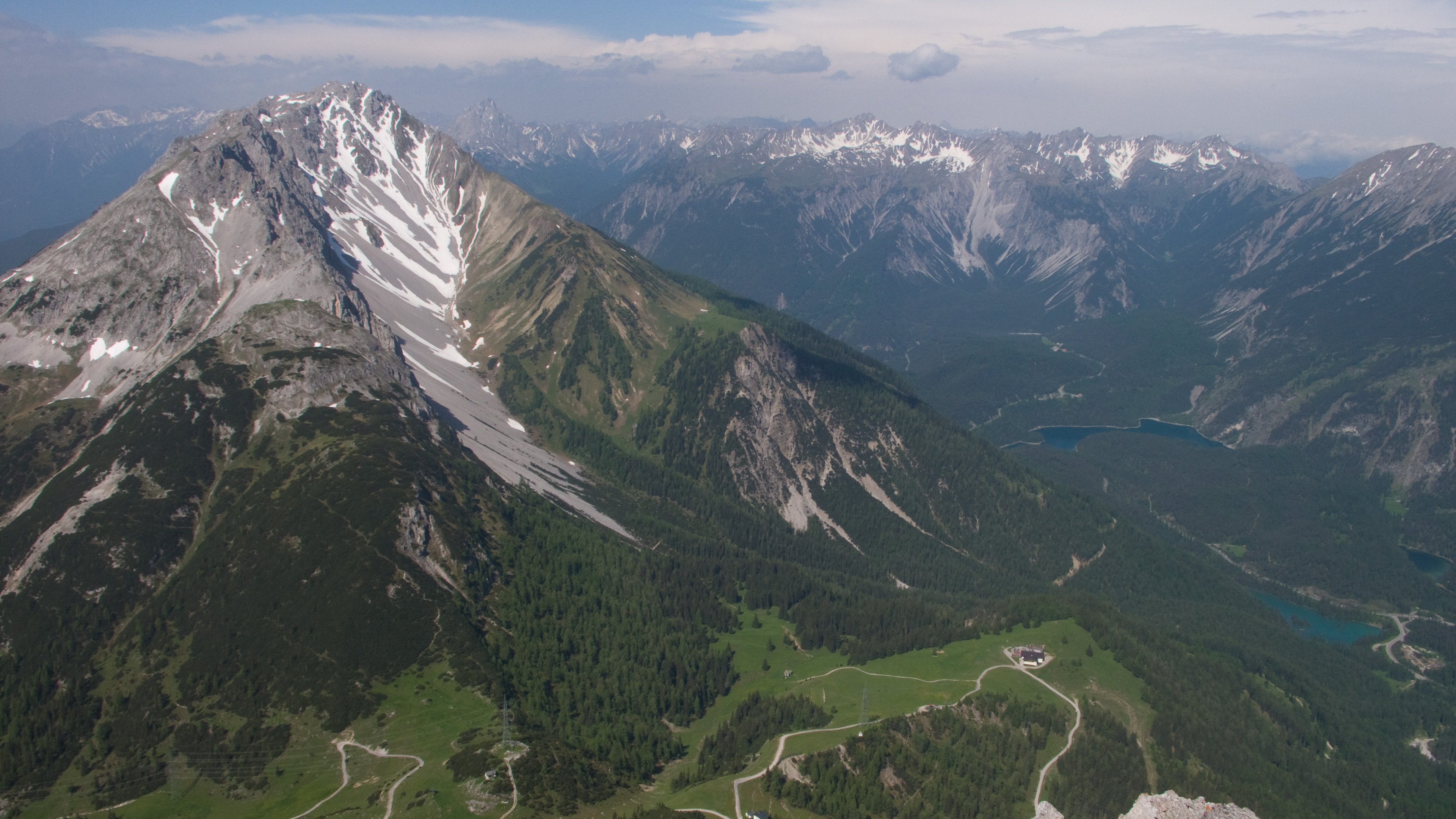
After a good rest, I followed steep trail down under the humming lift to the Austrian town of Ehrwald. Eventually I turned onto a trail to the Eibsee, a beautiful lake that looked impossibly far below from the summit. Allowing myself to relax, I took a short nap at a babbling spring by a log cabin in the woods. Gosh, but mountain boots weren't made for trail walking! I ended my day at the Eibsee, having no trouble giving up on the goal to walk from there to my car at Hammersbach when I saw a bus was coming in 10 minutes.
It made for a 11.5 hour day, with 2300 meters (7500 feet) elevation gain up and down. Good enough!
Whew, jus' hikin' again
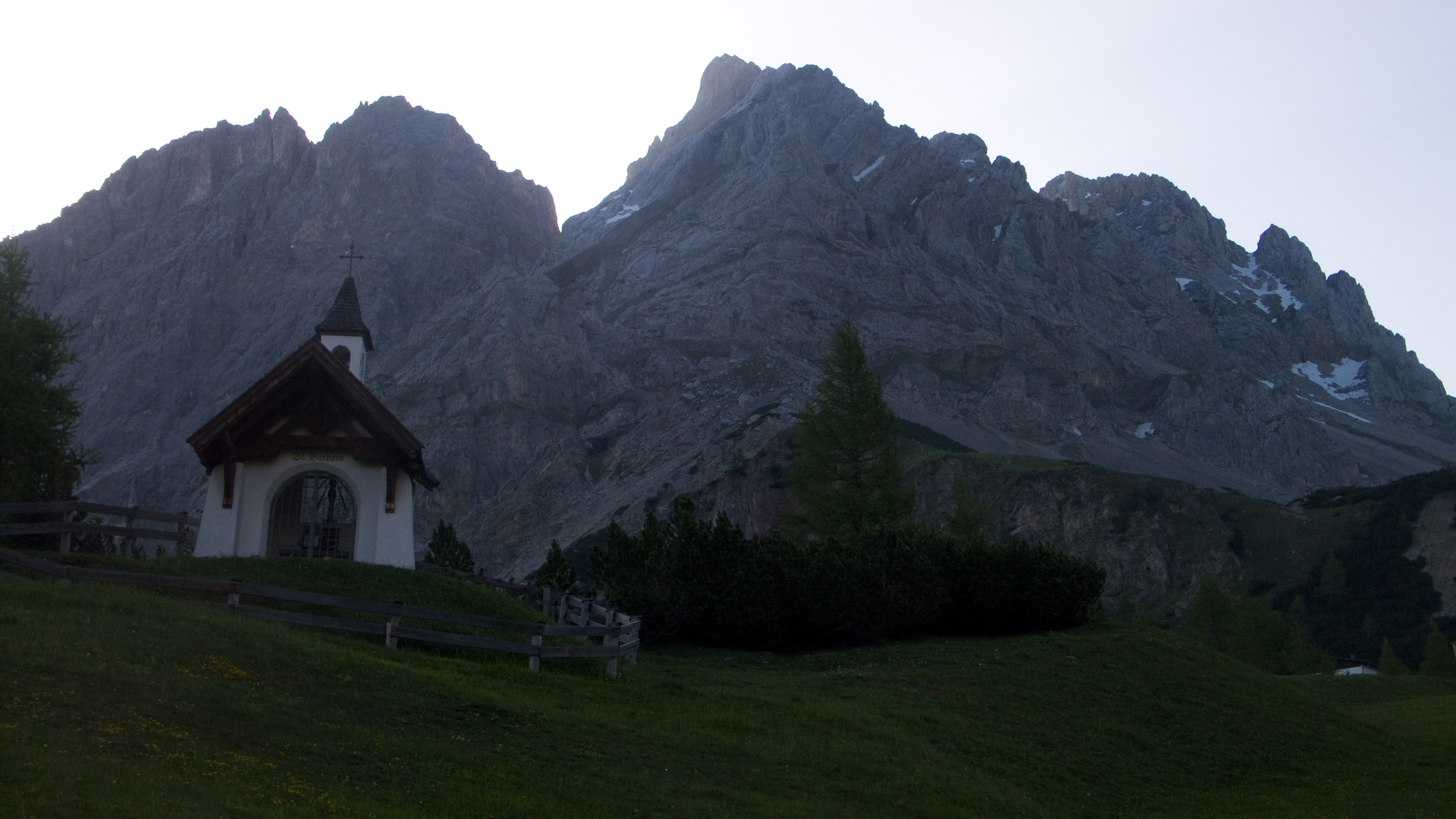
The Westliche Marienbergspitze, June 12, 2010
A couple of days later I was ready to get out again, but what to do? The high-pressure week was crumbling, and I had to expect rain by Saturday afternoon. I thought I should do something close to home to minimize drive time. I'd developed an appetite now for snow climbs, and would do another one but reports from the Stubai Mountains along the alpine crest indicated waist deep snow in the afternoons, very tiring and unpleasant for travel. Lukas' page on the Mieminger Kette caught my eye, and I found a route into the range that offered an easy climbing route. Once in the range I could nab a scrambling peak or two, stopping when exhaustion took it's toll or the rain came, whichever came first!
This time the alarm went off at 4 am and I was walking at 6 am up the Barbarasteig in the town of Biberwier, Austria. My goal was the awkwardly named West-Southwest Ridge on the clunkily named Westliche Marienbergspitze. The route went at UIAA grade III (YDS 5.0), with 3 or 4 pitches that hard, and the other 10 pitches easier. I wore hiking boots this time, but had an ice axe, a helmet and rock shoes. I can say now, I was very glad for the rock shoes!
Remarking that my hiking seems to be near lifts a lot lately, I ascended under a lift to the Marienbergscharte as the sun bathed eastern faces on my right. I could already see the thick cloud bank coming from the west. The Allgäu Mountains were engulfed and the clouds gathered force as they prepared to storm the Ammergau. Working my way up a ridge of scree and latschen bushes, I felt I had plenty of time to climb the ridge.
A cairn marked the approximate start, and I sniffed around to find the right beginning. My topo mentioned a crack, but aside from an overhanging crack on the right, the best bet seemed to be a chimney/gully. I started up, getting immediate lessons in the volatile, sometimes violently exploding nature of the rock in this range! The rock is very brittle, more so than the Wetterstein to the north. There are sections of creamy, blueish, light colored stone which is delightful to climb. But these areas are sometimes buried under a darker rock with few redeeming qualities.
On some occasions, the climbing was harder because I was forced to ignore hand or footholds that looked nice, but also seemed poorly attached in some way. Normally, I would test them, but I quickly learned that if it already looks poor here, it is...and what's worse...it's failure may cantilever more blocks out in an unexpected way. I only dealt with rocks this bad twice...once on an uncharted section of Guye Peak in the Central Cascades, and another in the North Cascades on an obscure tower (Dynaflow Tower).
The chimney dispatched, I followed easier rock to the next difficulty: a grade III rising traverse under an overhang, with lots of exposure beneath. I mentally planned the moves, happy to find a piton as route confirmation. Entirely on good rock, this was an excellent 40 meter pitch, but the next pitch would be the crux of the climb. I had a choice...to go up a steep chimney, or traverse a slab to a short vertical crack. Hmm. I tried entering the chimney, but chickened out before committing to it. I climbed down, and re-arranged my ice axe so that it didn't stick up from the pack to get caught on something. Now I checked out the crack. Delicate moves got me into it from a steep face, but then once climbing it I decided I'd made an error. The rock was just too raw to be the normal way. Also, it was too steep to be grade III! Good hand jams were offset by the worry of loose rock, and the exit moves were harder because some tempting blocks couldn't be trusted.
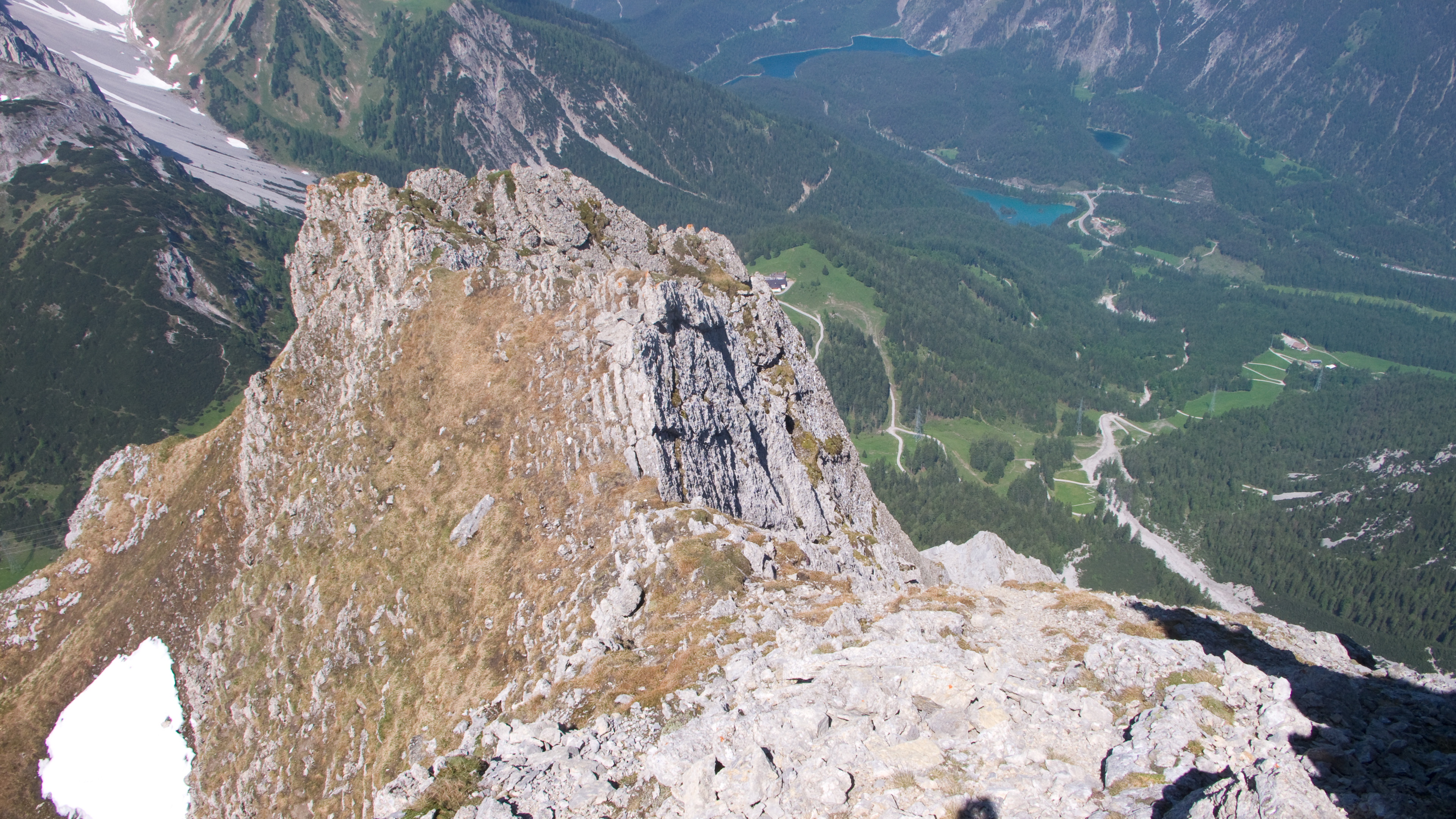
The rest of the ridge went much easier, which was a relief! I apparently deviated from the written route at least once more, because I didn't find anymore grade III terrain, I just followed a natural line. On my left I saw the "Way of the White Serpent," which looked like fun, and a bit harder than my own line. The clouds remained well away, and when the ridge melted into a tilted plane of scree, I switched back to boots and ground out the last 200 meters to the summit.
Which was very strange! The tiny spike of the summit was murder to reach and touch. I didn't dare stand on it...I'd already spilled an outer layer of the whole summit block into the crashing void as it peeled off like an onion. I got the sense that no one came up here in years. I took a hasty picture hanging by my chin, and delicately crabbed down.
The white rock is the "Way of the White Serpent"
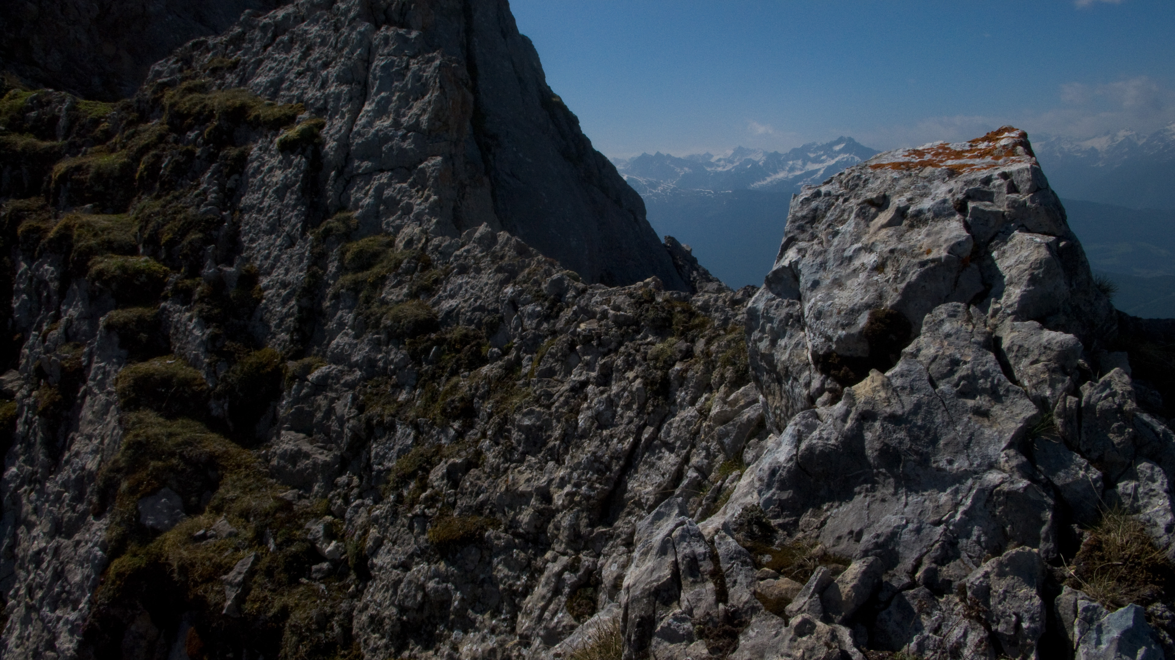
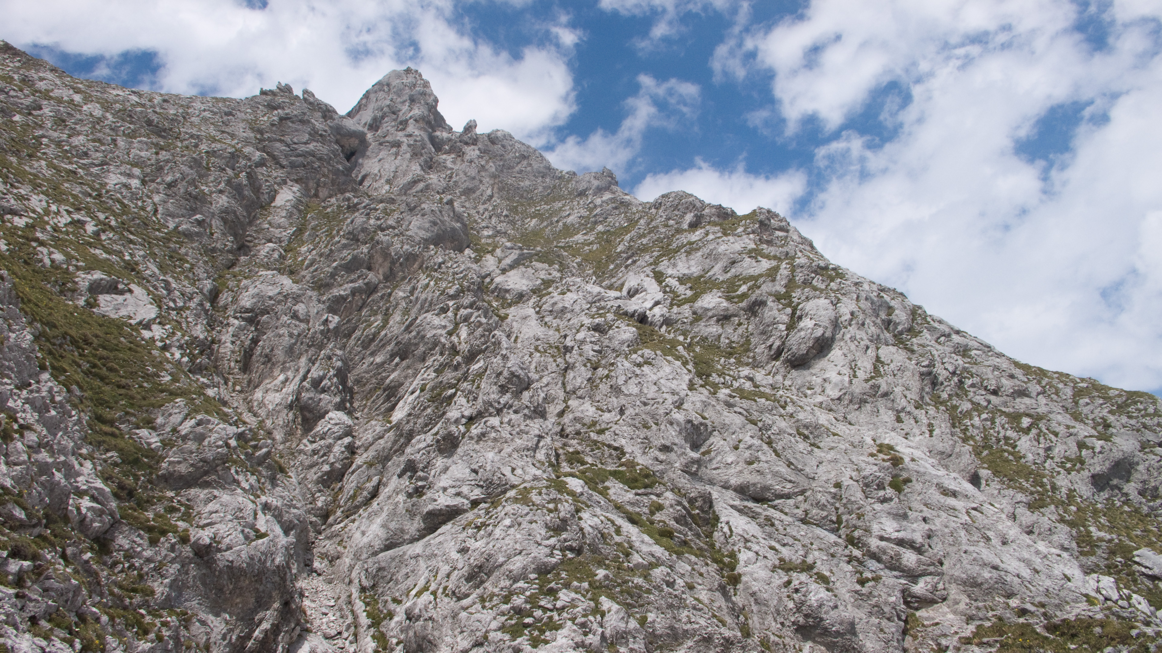
Views on the ridge
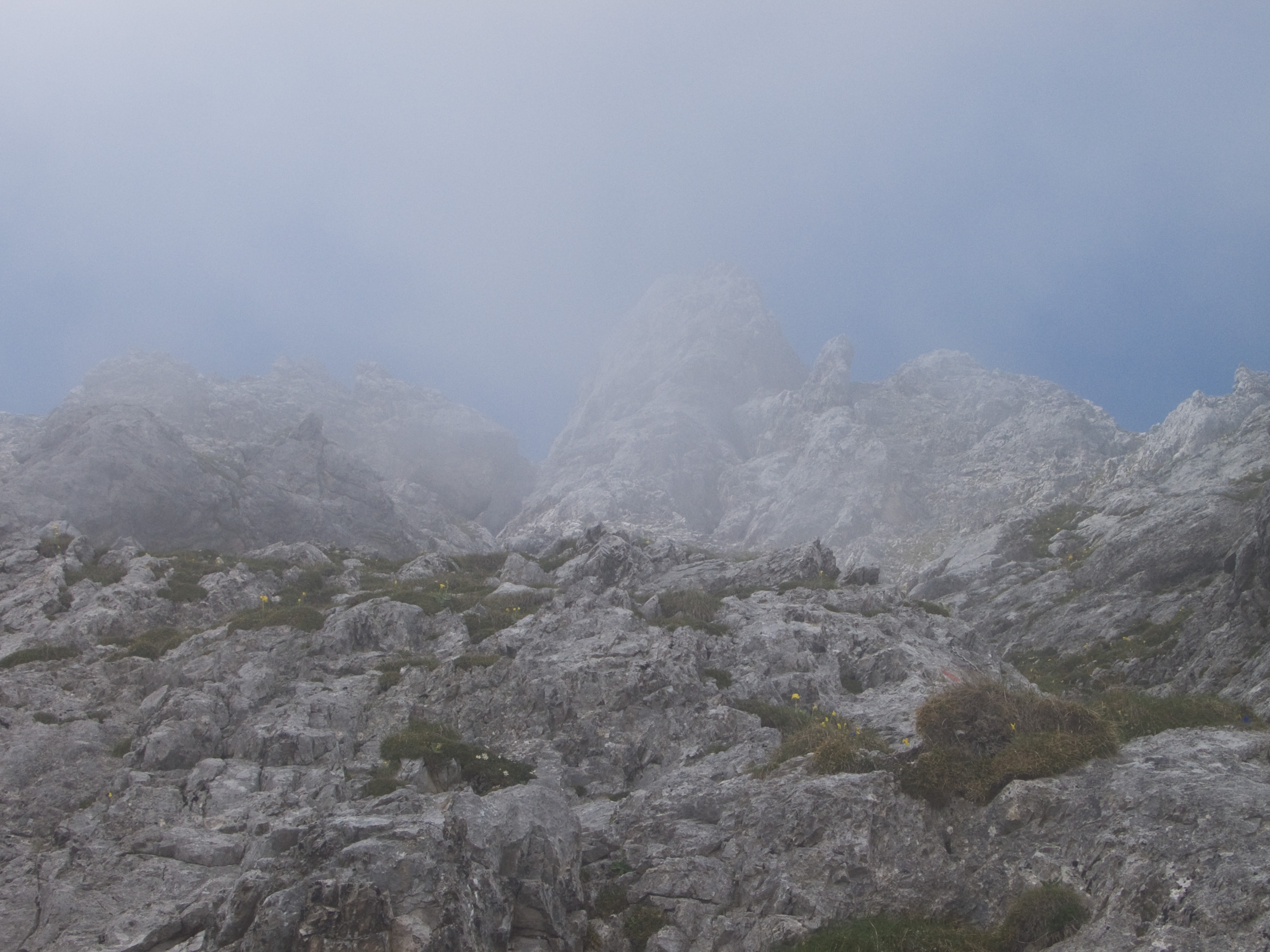
Just scree to the summit now...
Jittery summit picture
The glorious/rotten Westliche Marienbergspitze!
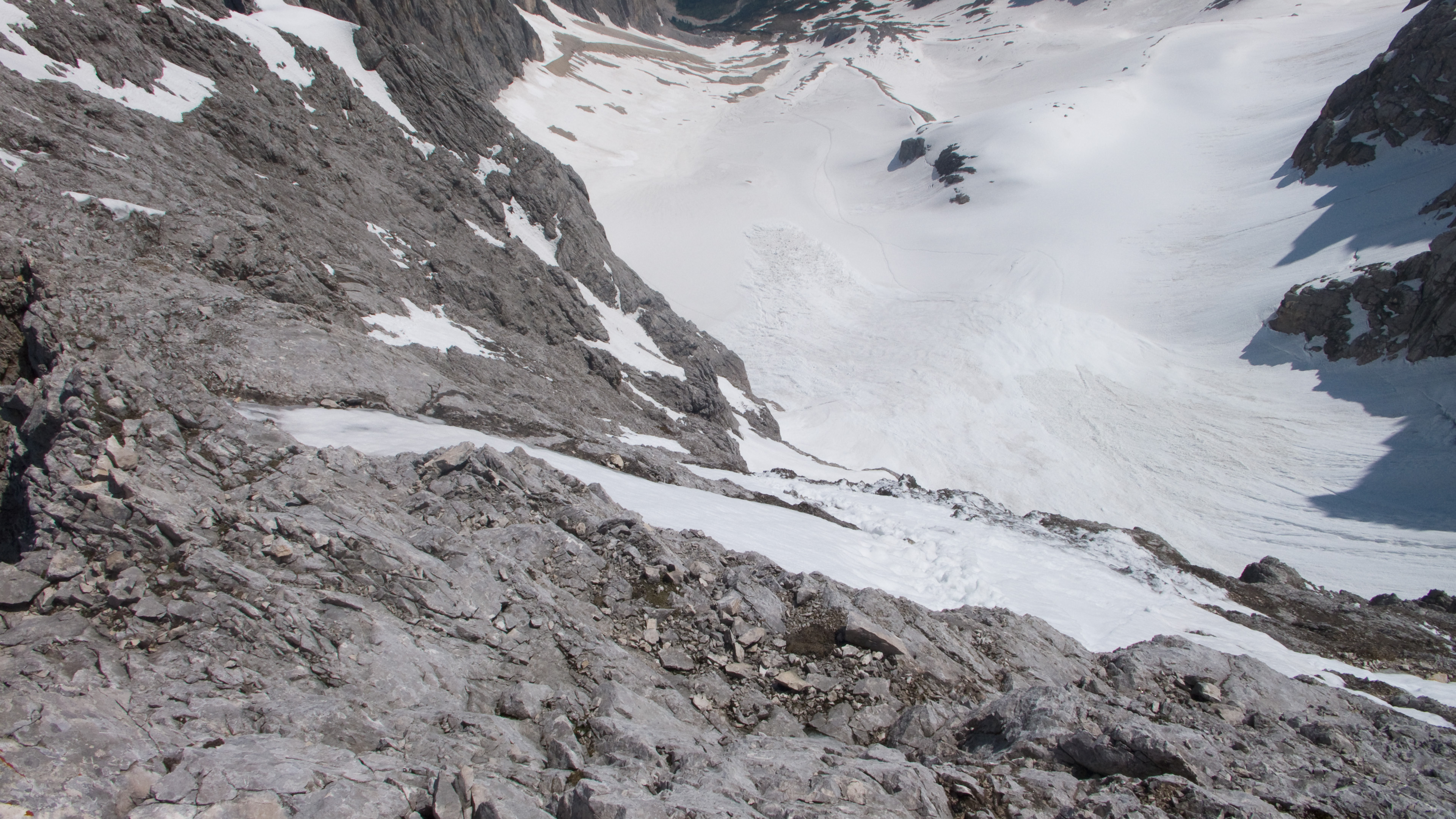
The Schwärzkar into the northern bowl of the range was my way down. Taking an old tip from Peter Croft, I tossed a rock down the steep snow to see how hard it was. It bounced away, dislodging a friendly amount of snow with each bounce. Nothing to worry about then! I planted the axe and kicked steps down until the angle relented. Eventually I did standing boot glissades, yippee! The snow and angle were just right for it.
The Schwärzkar
The Ehrwalder Sonnenspitze (same day)
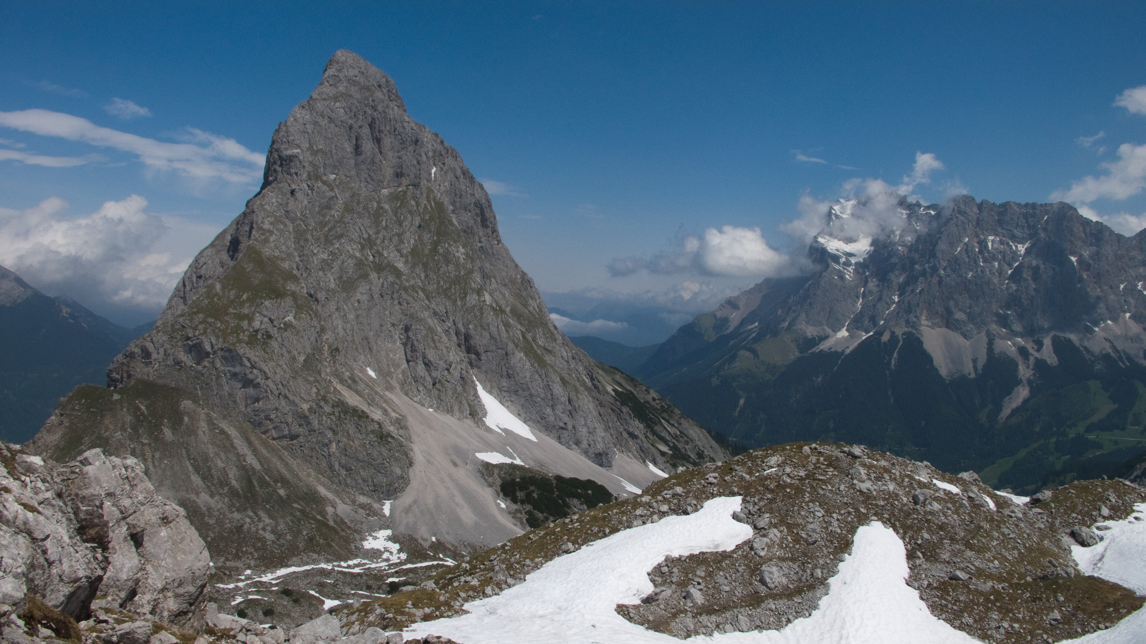
My next goal, the Ehrwalder Sonnenspitze looked very impressive from here. The only thing I knew about the route was that it went from the Biberwierscharte (pass) to the summit. I also knew it was harder than the normal route from the north, but should be 4th class or easier (grade II in UIAA scale). Looking at it though, that was quite hard to believe.
Feeling like I had oceans of time, I descended snow bowls to reach the Coburger Hütte, where I had a lunch of Kaiserschmarm and beer. Kaiserschmarm is like American pancakes, but sweeter, and served with applesauce. Delicious! I asked some guys about the climb and they repeated what I knew. Good enough.
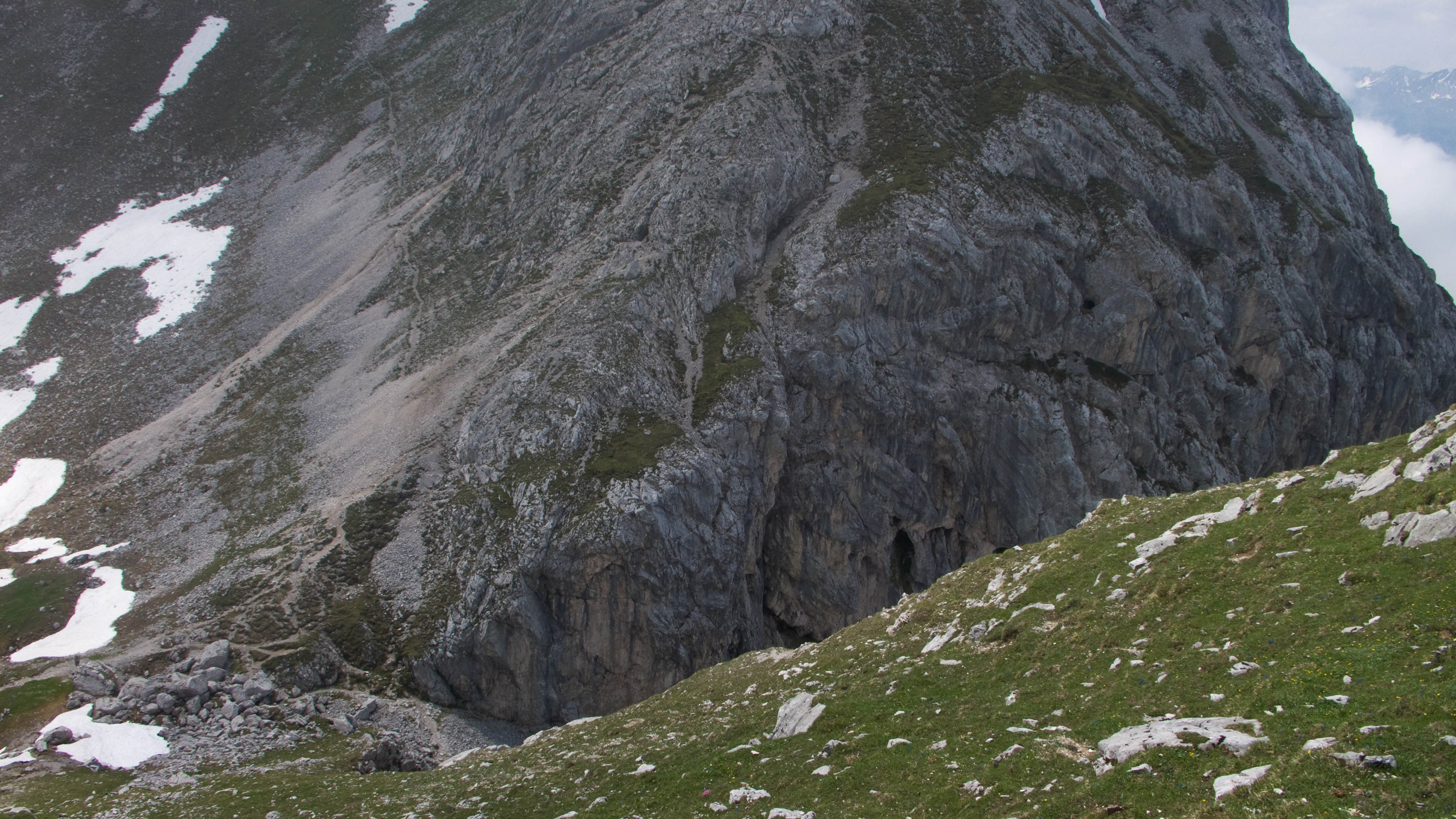
From the Biberwierscharte, I hiked up very faint trail to a steep rock face that blocked the ridge. "It must go here somehow," I thought. I tested several ways, finally selecting the easiest, up a short cliff and through a chimney. I emerged by a cairn on a steep grass slope. The clouds had finally come in and the upper mountain appeared and disappeared. A bit intimidated by the difficulty, but not unduly worried, I hiked up the grass to steeper rocks on the crest 100 meters above. It didn't look good. Quite difficult, with no sign of passage, and a tower high above appeared to block me even if I could get up there. I looked around in the blowing clouds. Finally, below me, something caught my eye. Is that a section of trail? It is...and there are red paint markers!
Don't be like me and try the left skyline! The correct way starts from the high scree fan to the right.
Ah, civilization!
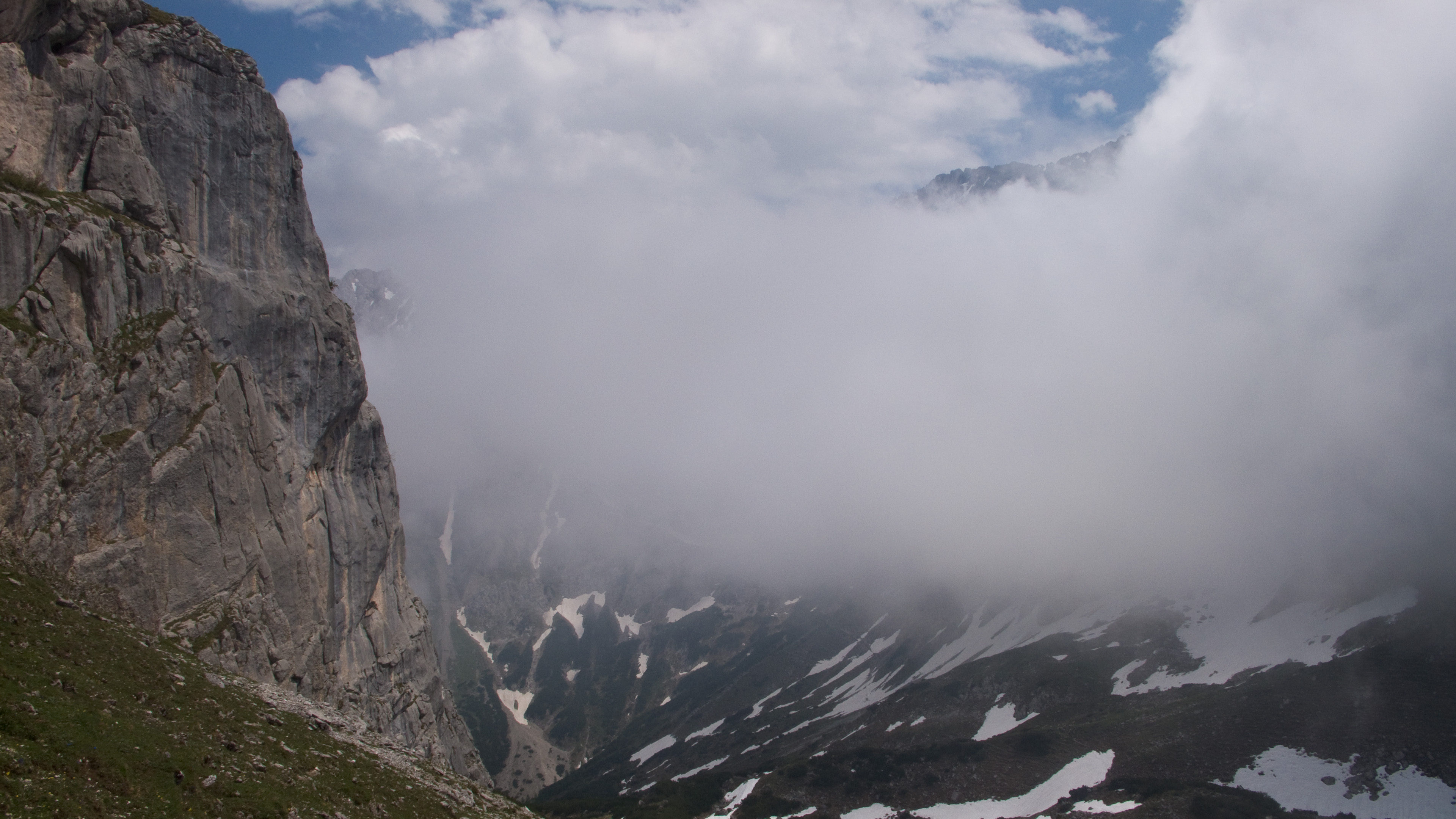
Here come the clouds...
The Biberwierscharte, my exit ramp.
Cliff band on the true south ridge of the Ehrwalder Sonnenspitze. I climbed the weakness in the center, but without ropes it leads to a dead end.
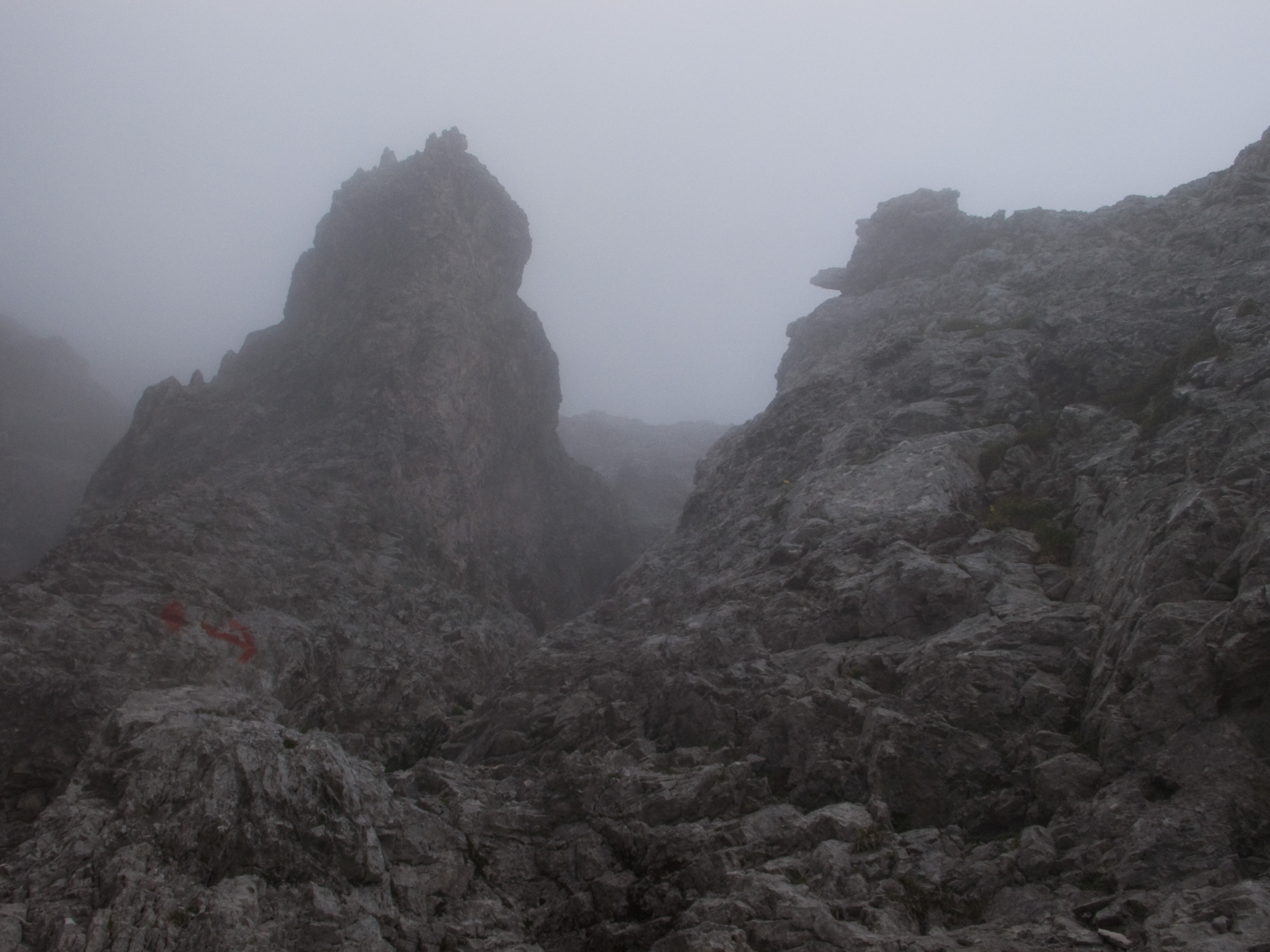
Frustrating view up from my high point on the true south ridge.
But getting there was tough. I downclimbed, only to find a deep, twisty gully separated me from the sanctioned trail. I thought I might be able to get it above, where the gully became shallower. Reclimbing, I tried to traverse the gully but turned back pretty quickly. As visibility came in and out (mostly out), I decided that was a stupid idea and mentally prepared for the downclimb through the girdling cliff band. It wasn't as bad as I thought, just quite slow.
Back at the pass, I followed a different faint trail that led across scree of the east face. Two guys came down on a switchback above, reassuring me that this was the right way, and not too difficult. Yippee! I thought. I was glad I hadn't given up. With the crazy angles of my glimpse across to the red-marked route, I wasn't sure if it was too steep to consider. Perhaps it was a popular difficult climbing route, sometimes even those are marked with red dots.
The right way.
Escaping the cloud...
Beautiful trail and scrambling.
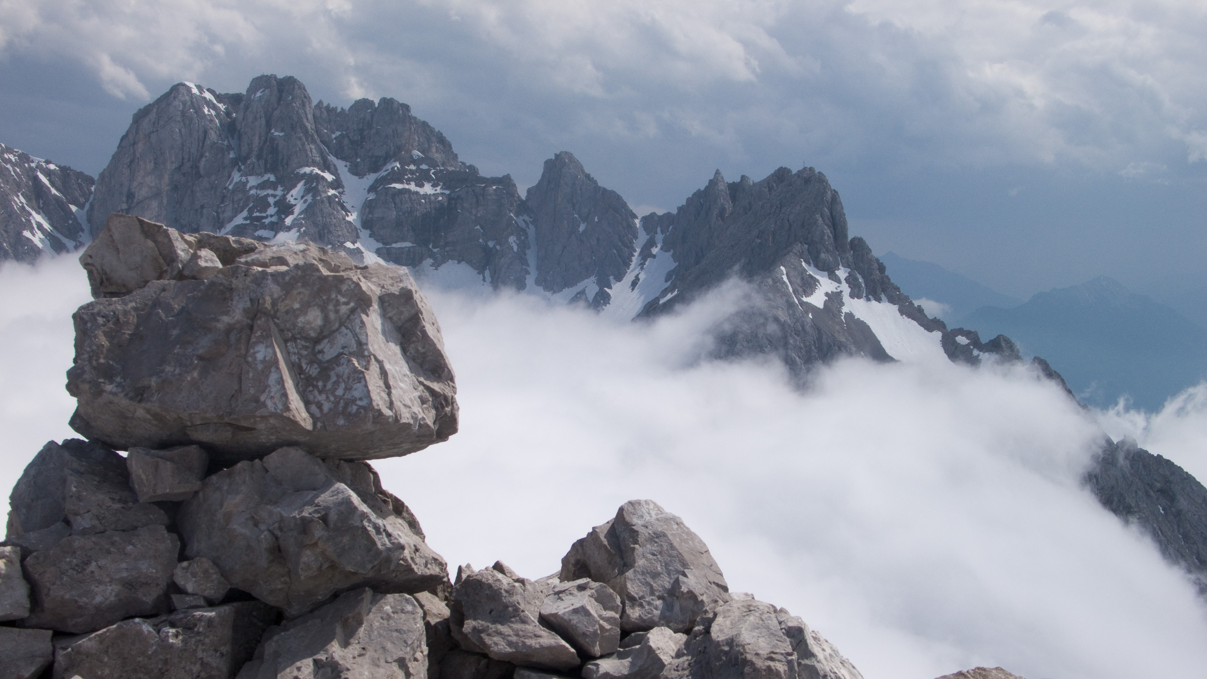
Oh look, the Marienbergspitzen and the Schwärzkar!
Reassured, I hurried up the path, hoping to stand on top before the clouds turned to storm. I found this to be a really enjoyable scramble. It is equipped with bolted rappel/belay stations and near the top even has some metal handlines (why?). But it followed a natural line, traversing right to avoid the cliffs that I had thought would be impossible to scramble.
On top I had a cloud sea and warm sun. All the local high peaks were above the clouds, especially the Zugspitze to the north. I could see the Westliche Marienbergspitze to the south too. How awesome!
As I daydreamed and ate a sandwich I suddenly noticed sheets of rain over the mountains around Imst to the southwest. Before I finished the thought I was packing up in haste. Indeed, I'd only descended 100 meters when the rock began to darken with raindrops. Another 100 meters and the first thunderclaps sounded. I stopped to get on my jacket and helmet, with gloves in my pockets...ready for the worst. But happily, despite distant thunder, the rain stopped and a few sunbreaks even dried the rock.
Final slopes...
On top!
Back at the Biberwierscharte I zoned out for descent mode, my mind much like the cloud that surrounded me for 800 meters of knee pounding scree descent. It was unnaturally dark in the cloud. Once I felt awestruck when the clouds parted revealing an enormous vertical wall. Continuing to Biberwier, I heard faint music from a parade, and soon walked along a babbling brook to my car.
This time a 12 hour day, 2400 meters elevation gain/loss, and a grand day out.
If you read all that, accept my sincere thanks! So these are a couple of itineraries for regular folks who like big days and I hope you find them inspiring!
As one of my boys says..."It's a great day!"