Mitterhorn hike
Friends: Only God!Location: Mitterhorn
Elevation gain: 0m = 0m
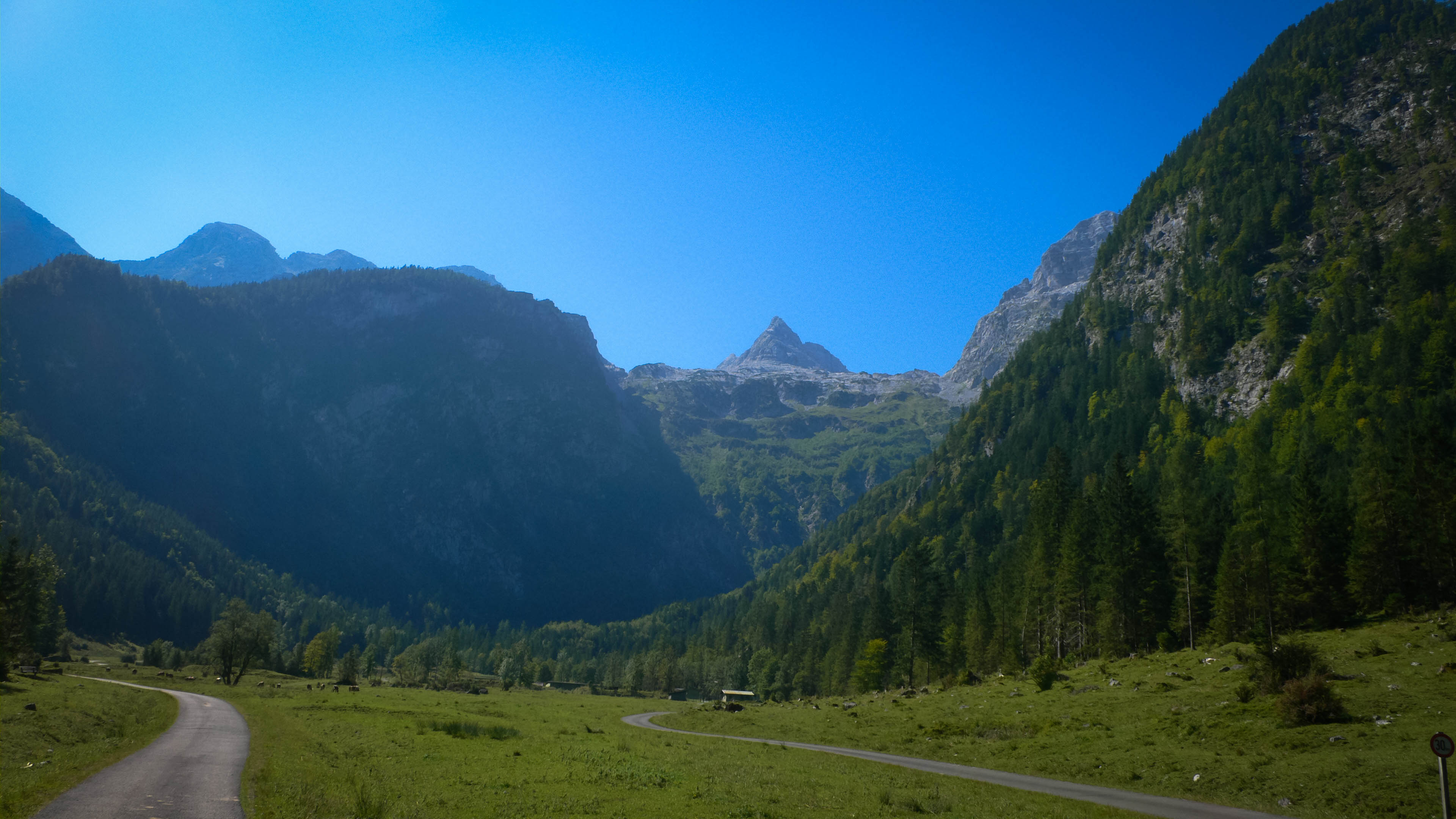
I had a bit of time to go for a hike before picking up Kris and the boys at the airport. I had to get them on Saturday at 5 pm, which is a nervous time for a hiking day. Will I make it back in time or be late? My solution was to drive to my destination the night before, sleep by the car and begin hiking very (very!) early in the morning. I'd never been to the Loferer Steingebirge, but I knew it was the home of absolutely giant rock climbs like "Ende Nie," a 38-pitch monster at grade VII. My friends Stephan and Adrian had climbed it and I heard about the even more endless descent. It would be cool to check that area out, and it would be a good hike because of big elevation gain and loss (over 1700 meters).
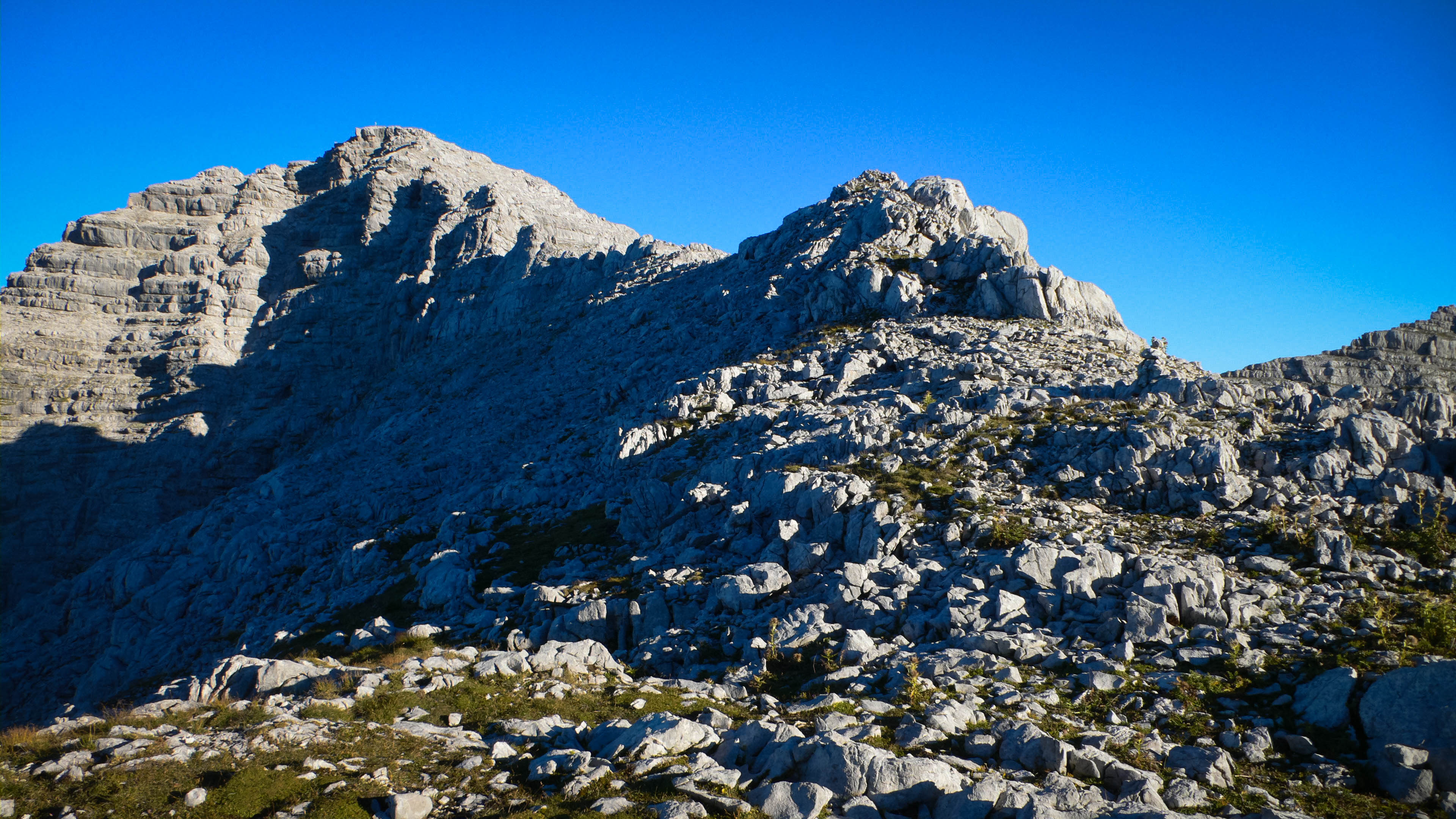
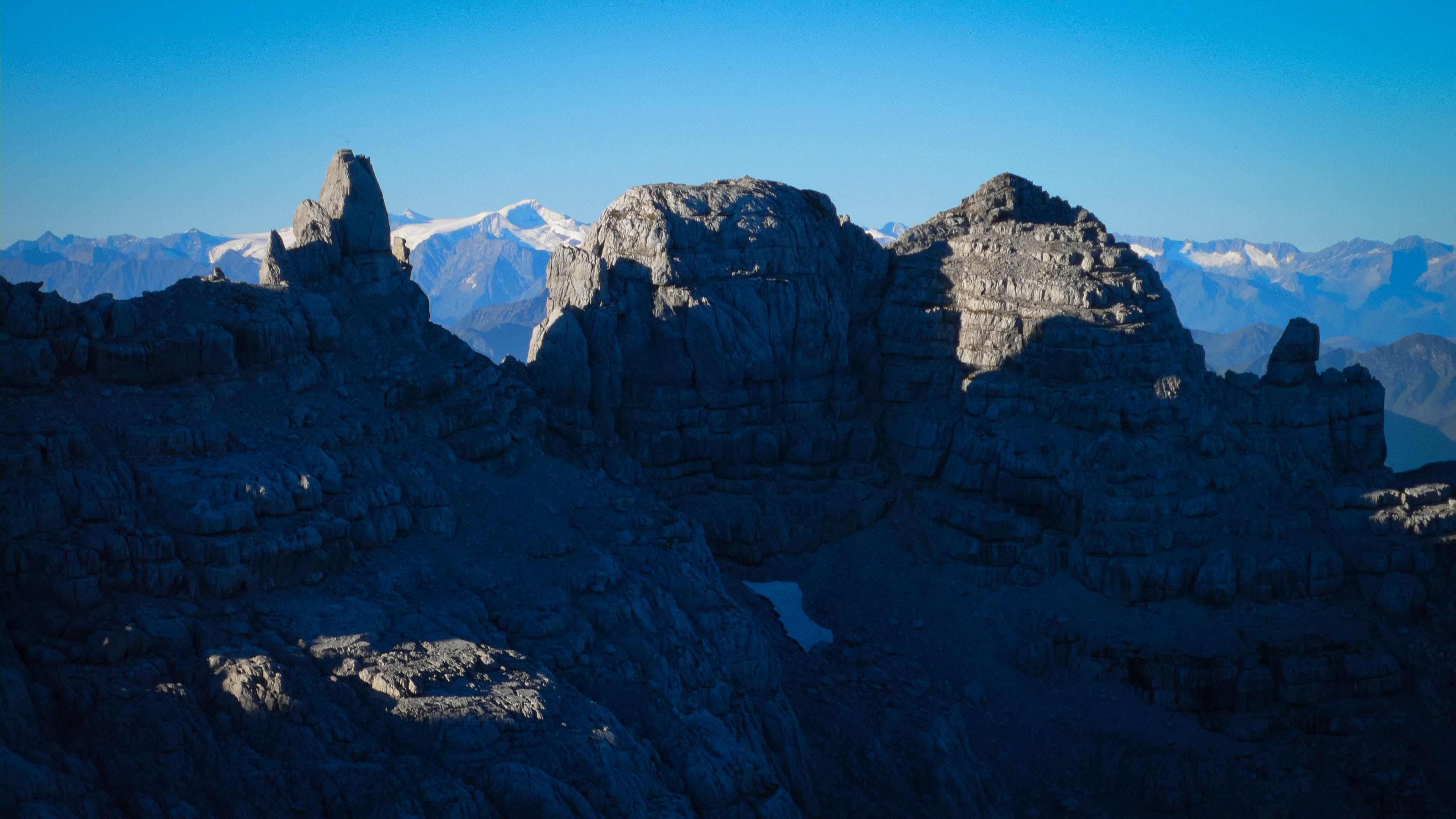
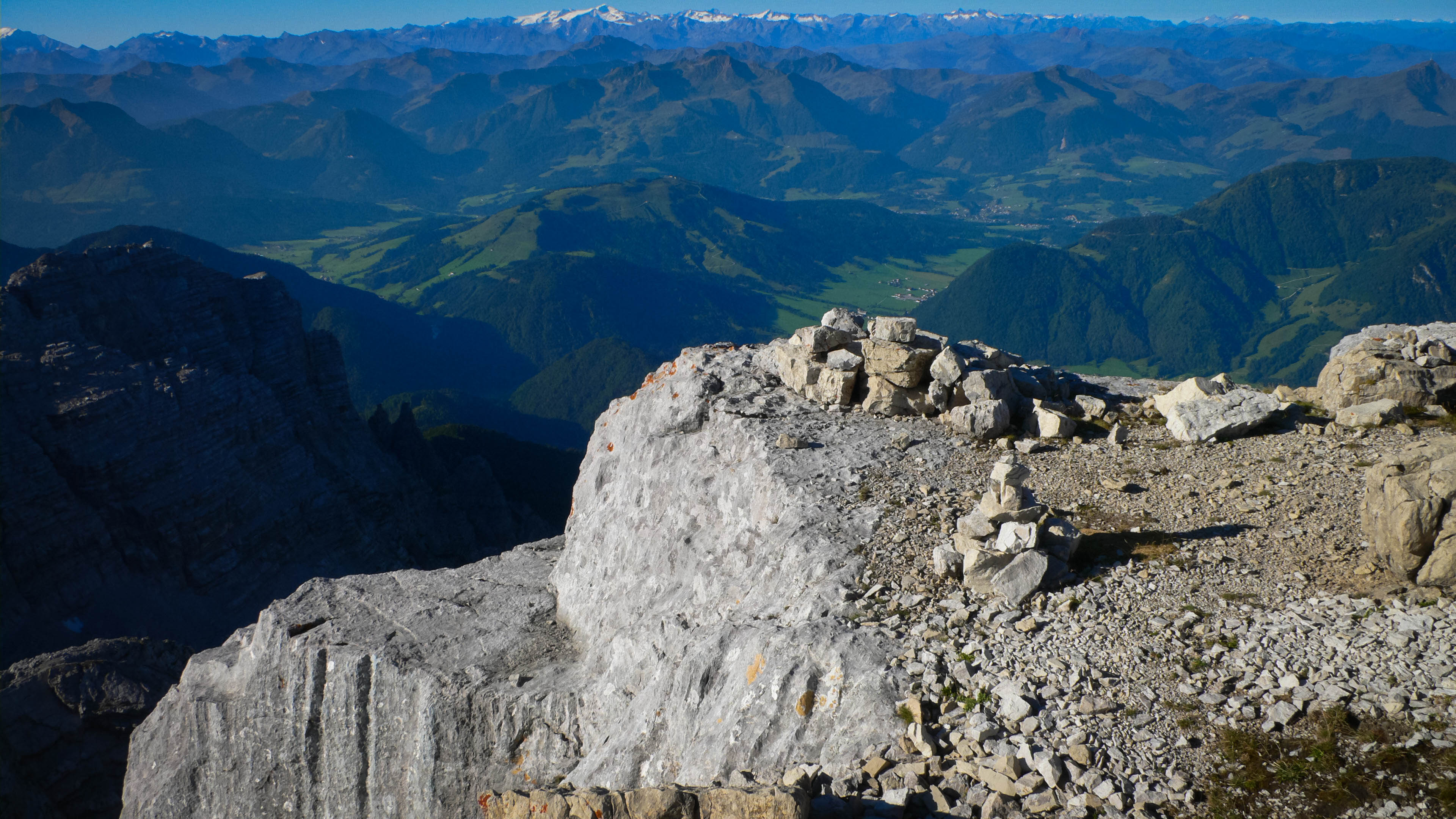
After a dinner at an Italian restaurant in Lofer, where a band played military music downtown that echoed through the streets, I unrolled my sleeping bag near the car. Still a bit jetlagged from a trip to Texas, I woke up around 2 am and looked at the stars. Finally at about 3:30 I realized I wouldn't get any more sleep, so I started hiking. Endless switchbacks up the left side of a narrow valley, then coming into a broader section that remained nonetheless steep. The signs for the trail suggested it would take 3.5 hours to reach the hut, but I was there in less than 2! I was hungry, without much food for the hike, so I decided to smoke my pipe and wait for breakfast to be served. It was great to sit out, watching the moon and the deep valley. After about 30 minutes outside I was cold, so I went in the hut to wait for breakfast. At 6:30 they finally started serving something, so I had coffee and an omelette. Around 7, I started walking again, making for the "Nackter Hund" klettersteig as an interesting way up the Mitterhorn peak. Good trail with eventual scrambling through cliffs (an unnecessary cable was present at times) led me to a high pass, where I could see towns to the south, the Kitzbühler Alps, and snowy peaks of the crest. From here spectacular hiking on the ridge crest finally led to a notch and an improbable protected trail leading down and traversing the mountainside on the north. The klettersteig cable began here, and was pretty helpful around exposed corners, going slightly up and down. I was climbing the Southeast Ridge of the Mitterhorn at this point, and the cables began leading straight up vertical cliffs, even the occasional overhanging step assisted by iron rungs for footholds. After a few entertaining minutes I was on the summit.
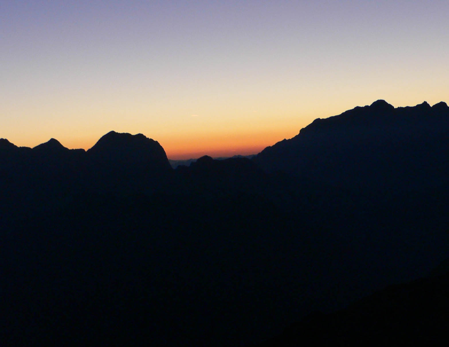
Dawn
The view to Mitterhorn (2506 m)
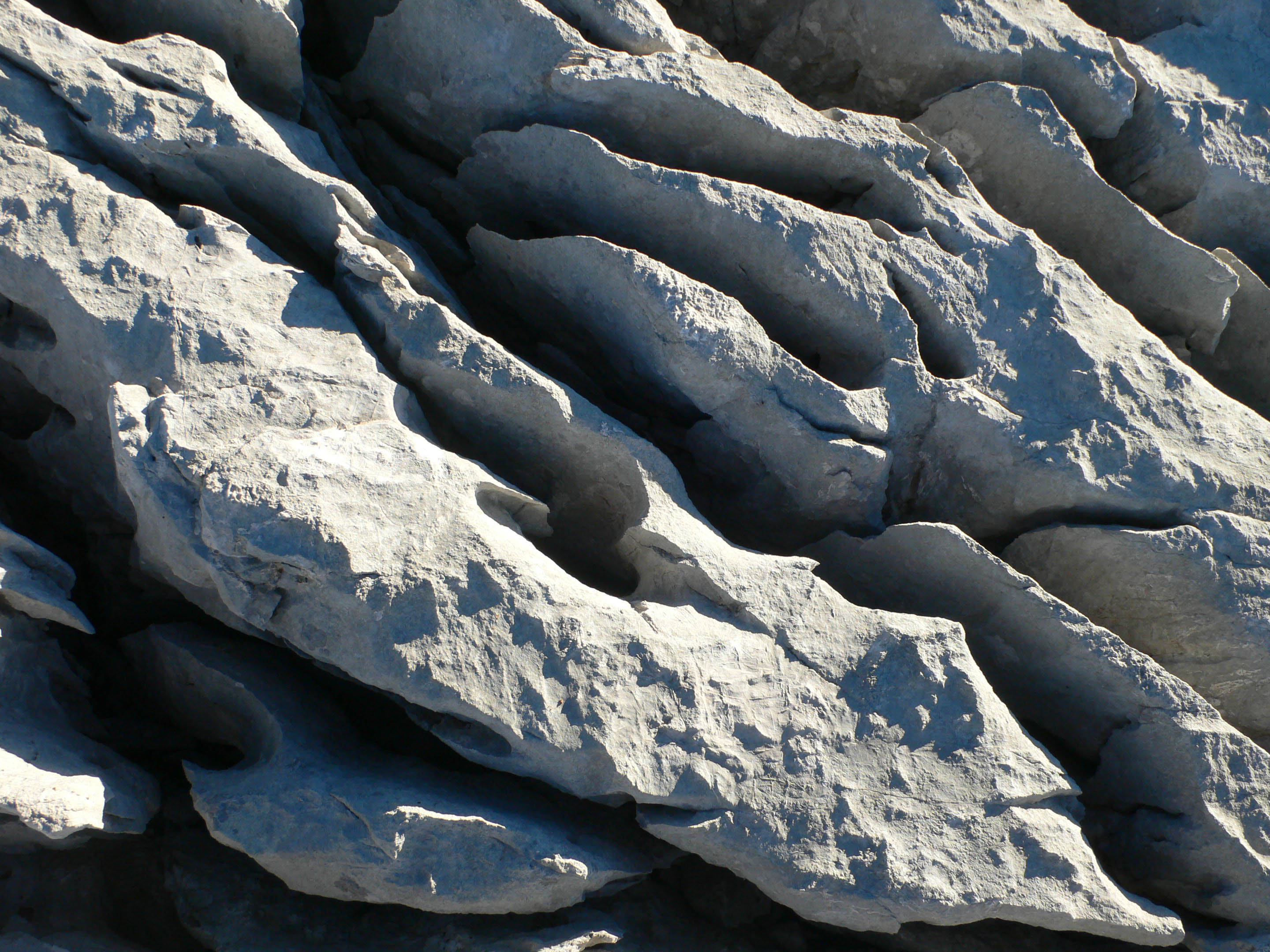
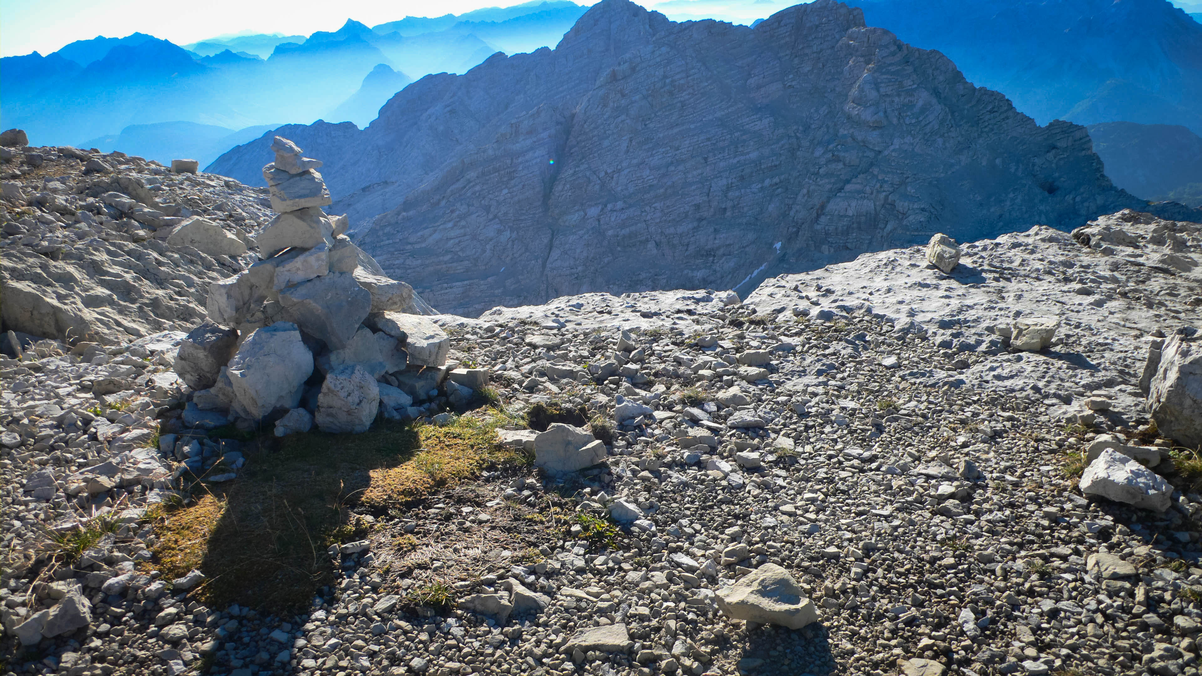
Beautiful rocks on the ridge
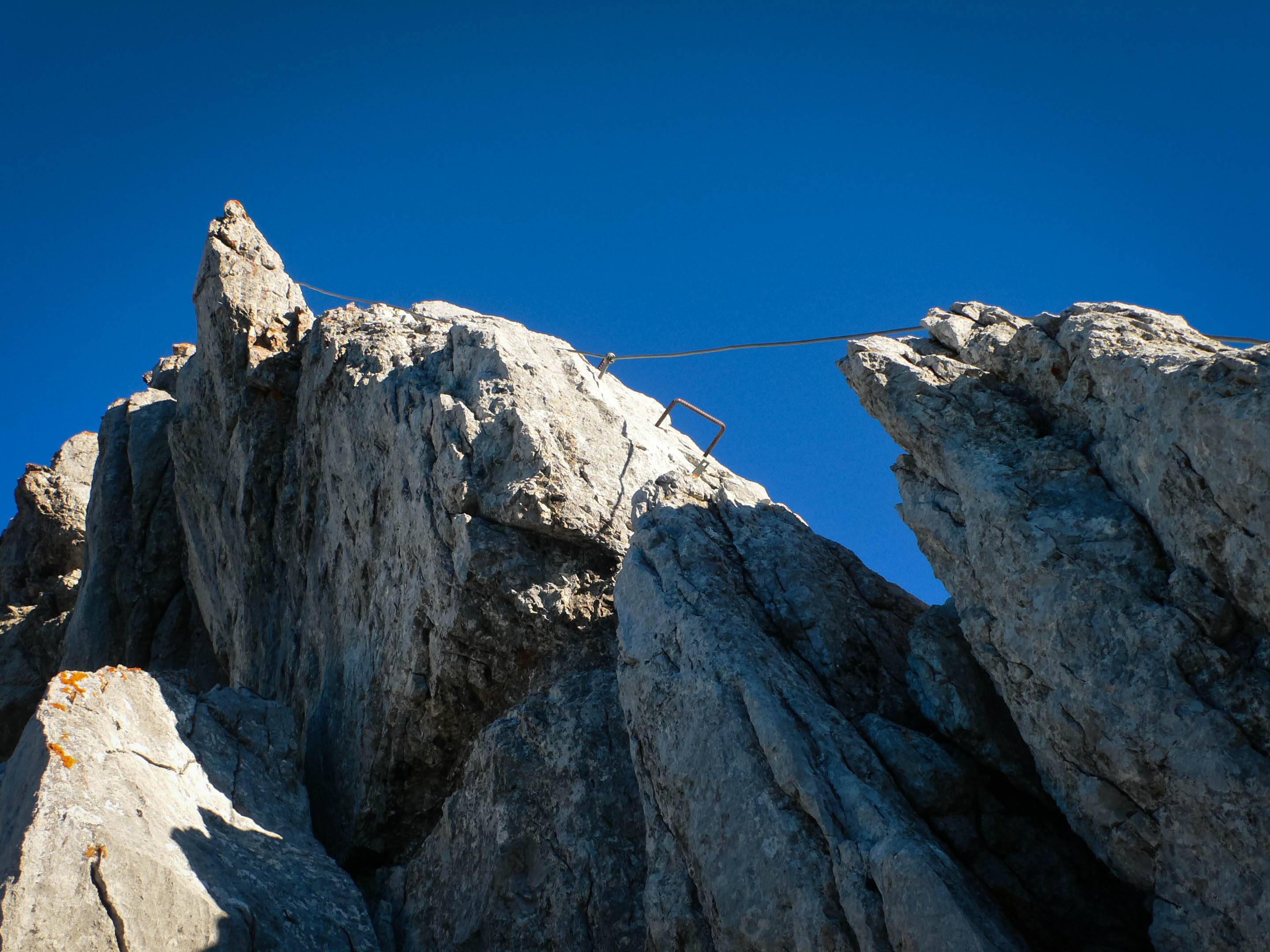
On the Southeast Ridge klettersteig
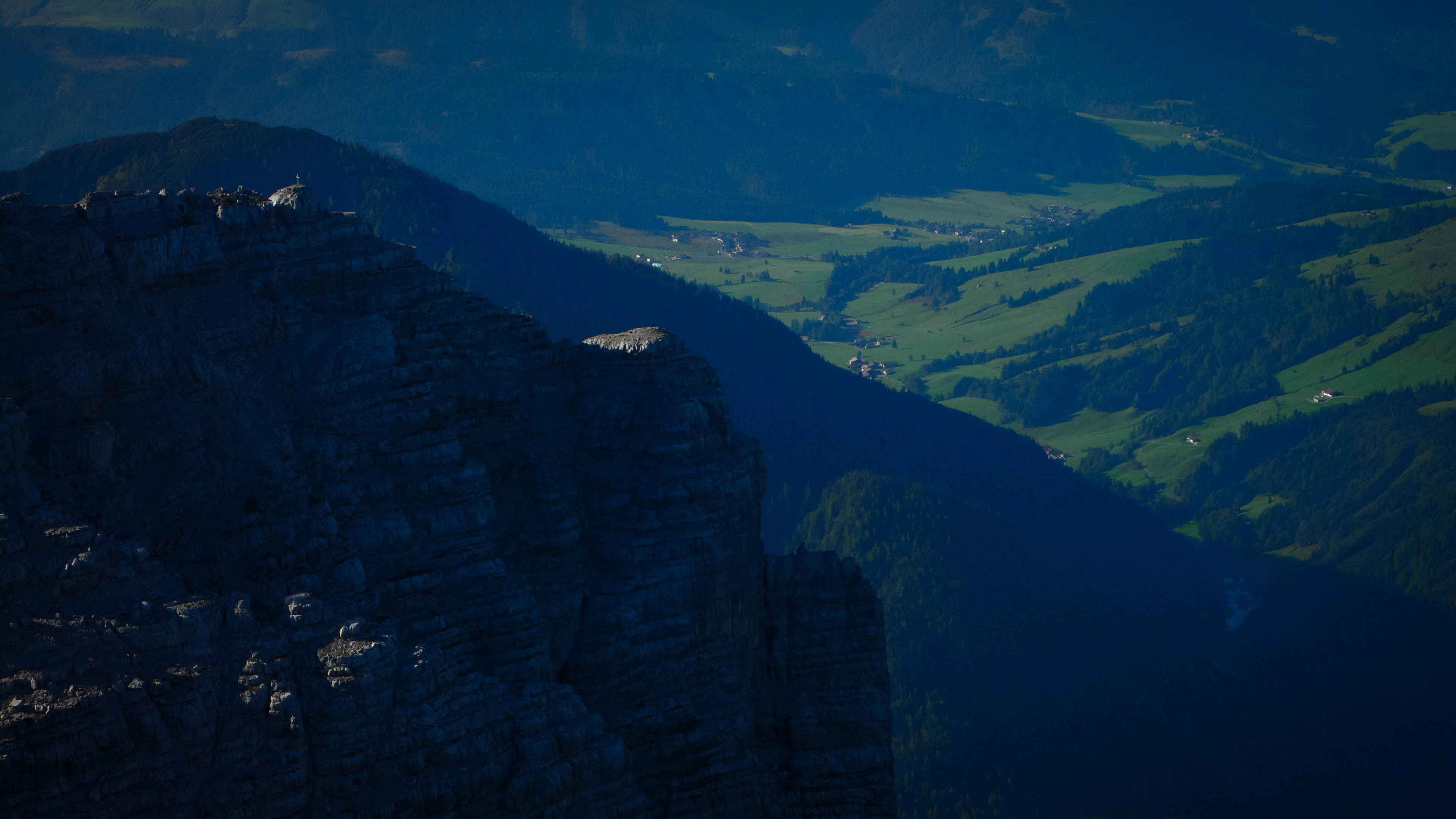
I'd just visited my sisters in Oklahoma City, and sadly, Cathy's dog Cowboy had died just today. I knew because she texted me while I hiked in solitude up the dark valley. Now I built a cairn for Cowboy, who was a good dog with a strange habit of lying down strategically behind your car wheels before you left the house. Once I had to go practically drag him out of the way so we could go to the store. Not only that, but he was all wet from his daily swim, making the half-drag/half-carry task even more awkward.
I found a suitable place, just below the summit on the south side and piled up some rocks into a tower. I thought he'd like the sunny location, told him goodbye, then started walking down the normal route on the peak. After an hour or so, I was back at the hut for a beer, which made the girl who had served me an omelette only a couple hours before laugh. I guess I thought the hike above the hut would take longer! But anyway, satisfied with my "mini-hike" from there, I then started down, really enjoying listening to Sharon Van Etten, a singer with a beautiful voice.
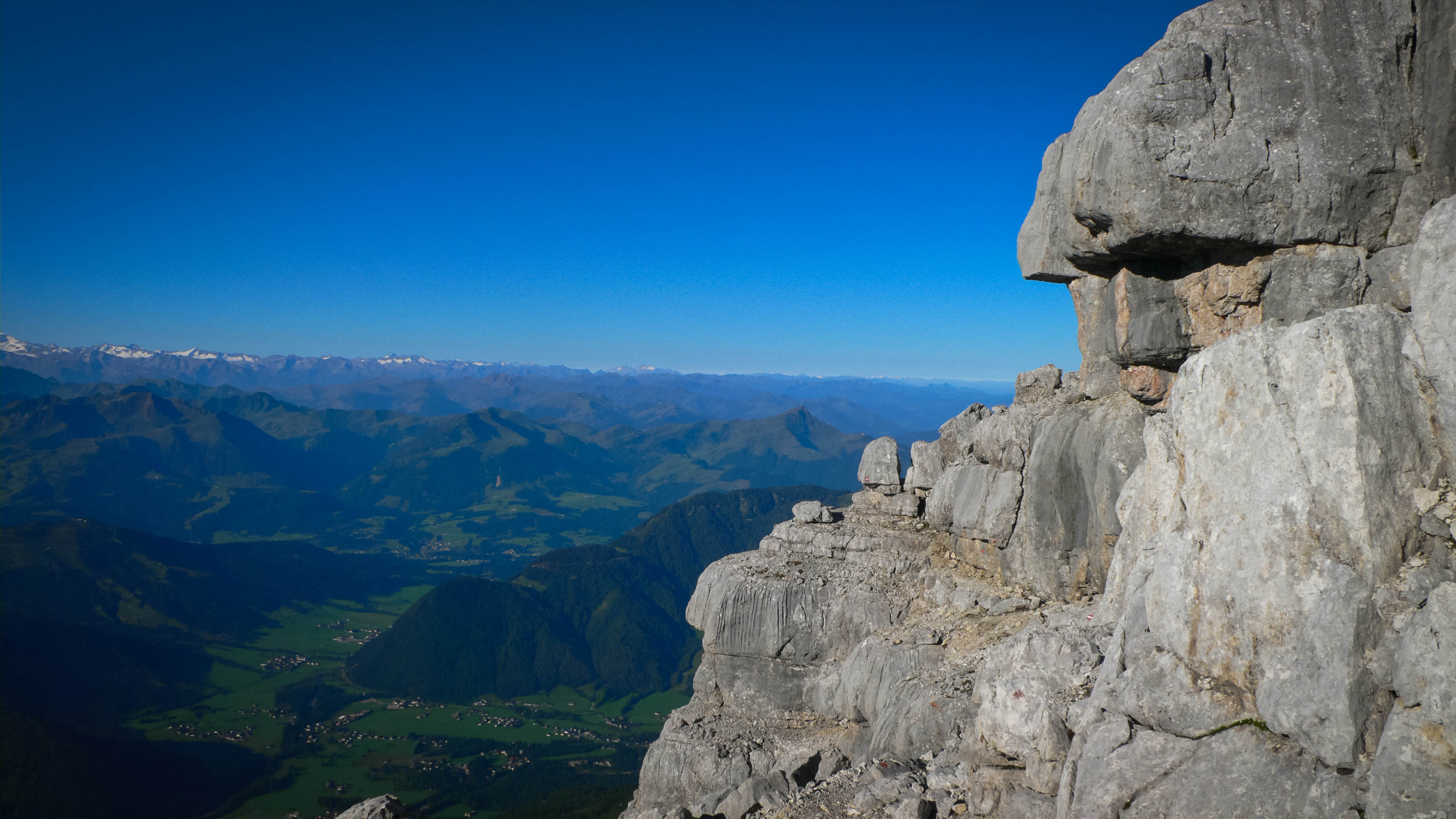
Near the summit
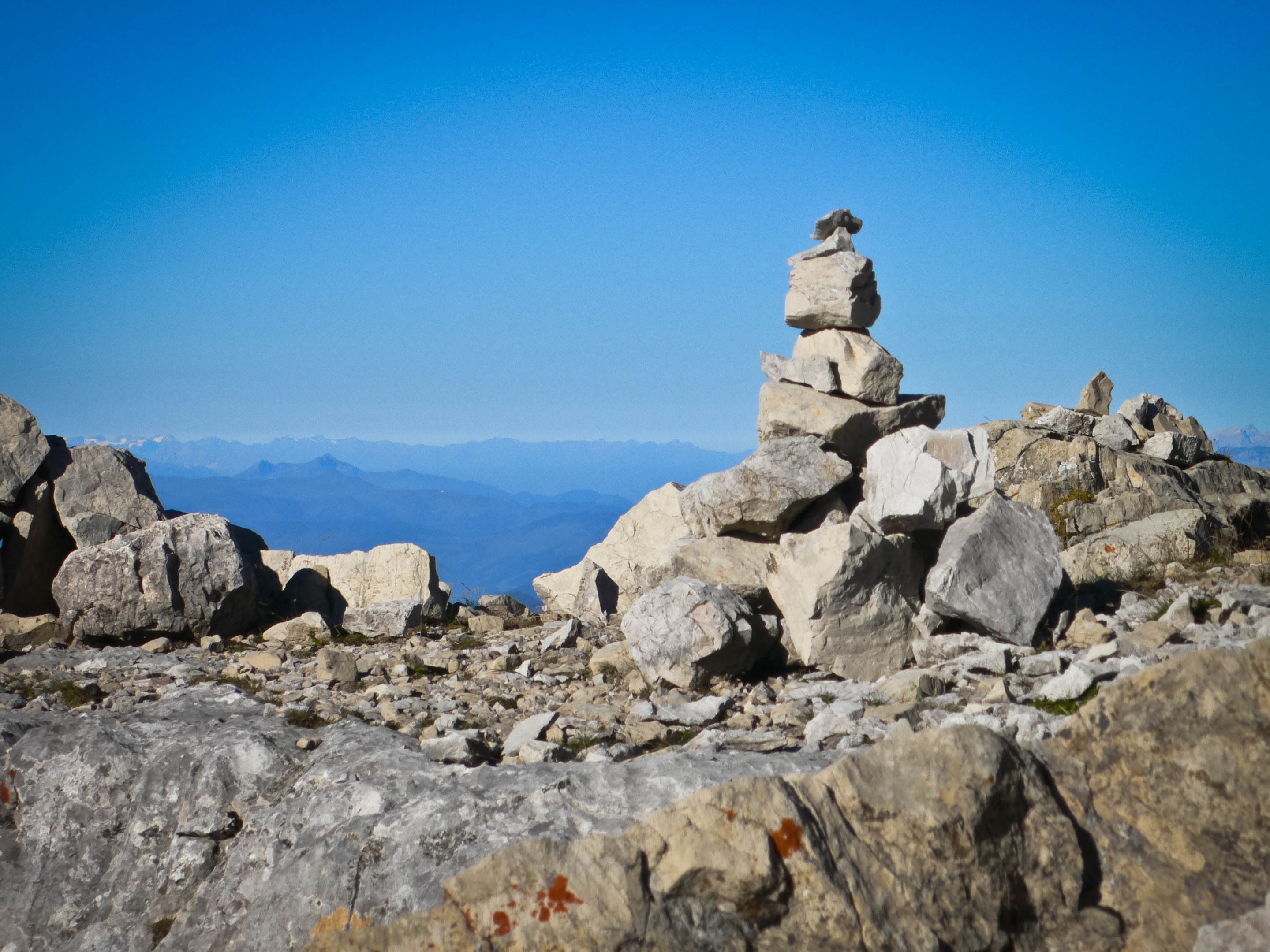
Cowboy's Cairn
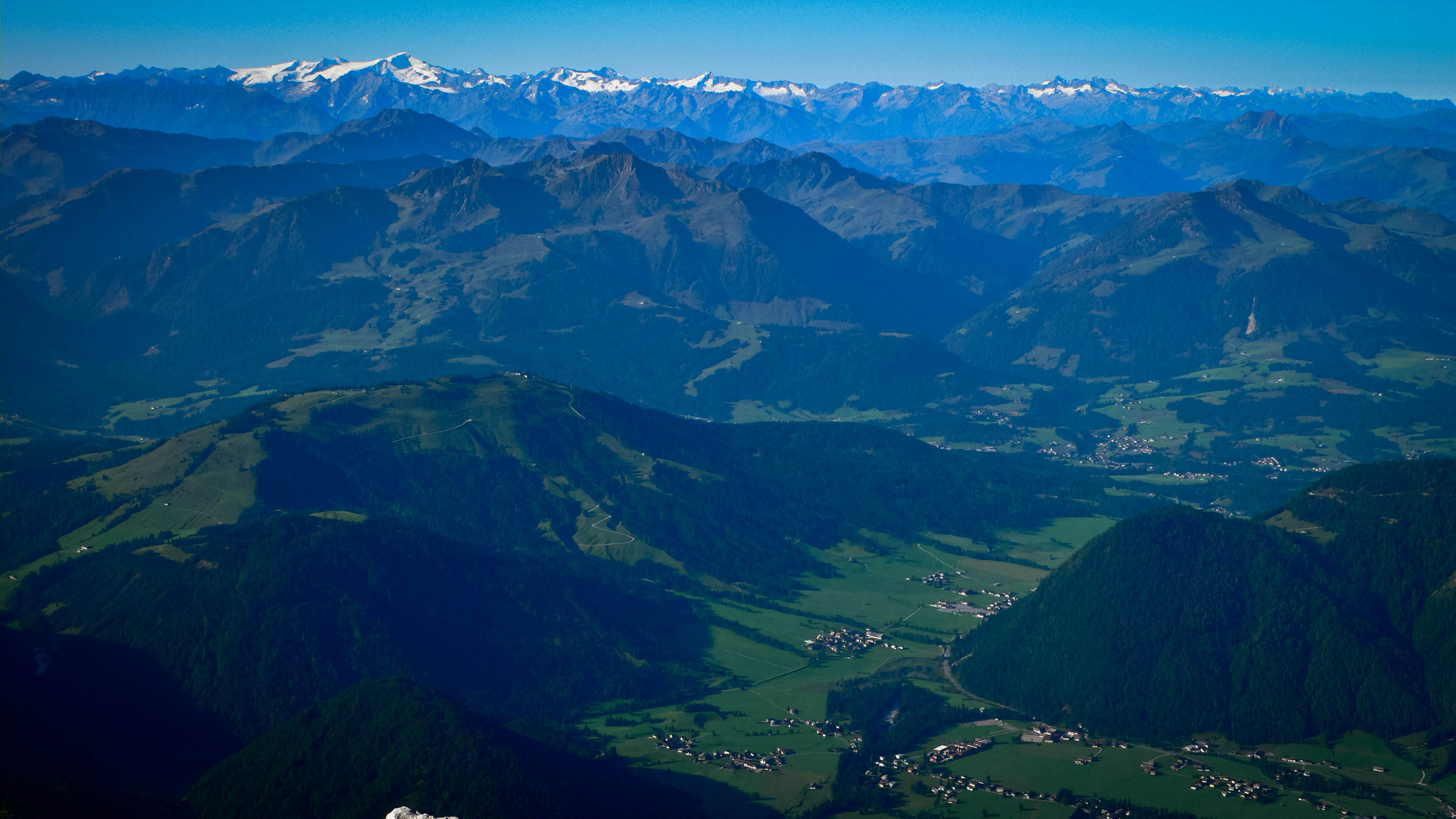
Views to the south
The round trip time was 8:45, with 2 hours spent hanging 'round the hut.