Warbonnet Peak, SE Face (5.7)
Friends: SteveLocation: Warbonnet Peak, Alpine Lake
Elevation gain: 1700m = 1700m
MountainProject link to the route
We hiked in to Alpine Lake, and set up our camp. We were becoming old hands at this Sawtooth routine! Before settling in for an afternoon of napping and reading (Steve had a crossword puzzle to do), we hiked further up the trail to explore the start of the climbers trail which led up to a pass on a shoulder of Old Monte Verita. We followed it until the trail petered out after about 10 minutes. But we saw the line of it, and were sure we could find it in the dark.
Many folks carry over and camp at Warbonnet Lake, or the Feather Lakes or the Bead Lakes right under Warbonnet Peak. But we'd heard that the long approach was rough, so we decided instead to stop at Alpine Lake and make a bigger day for ourselves on climb day. All we had to do was navigate that approach in the dawn, do the climb and make it back to our tents here at Alpine Lake. Bit of a gamble for conservative older folks like us, but we thought our systems were fairly dialed on the technical stuff, so even if we are slow on the approach and descent, we should have enough time.
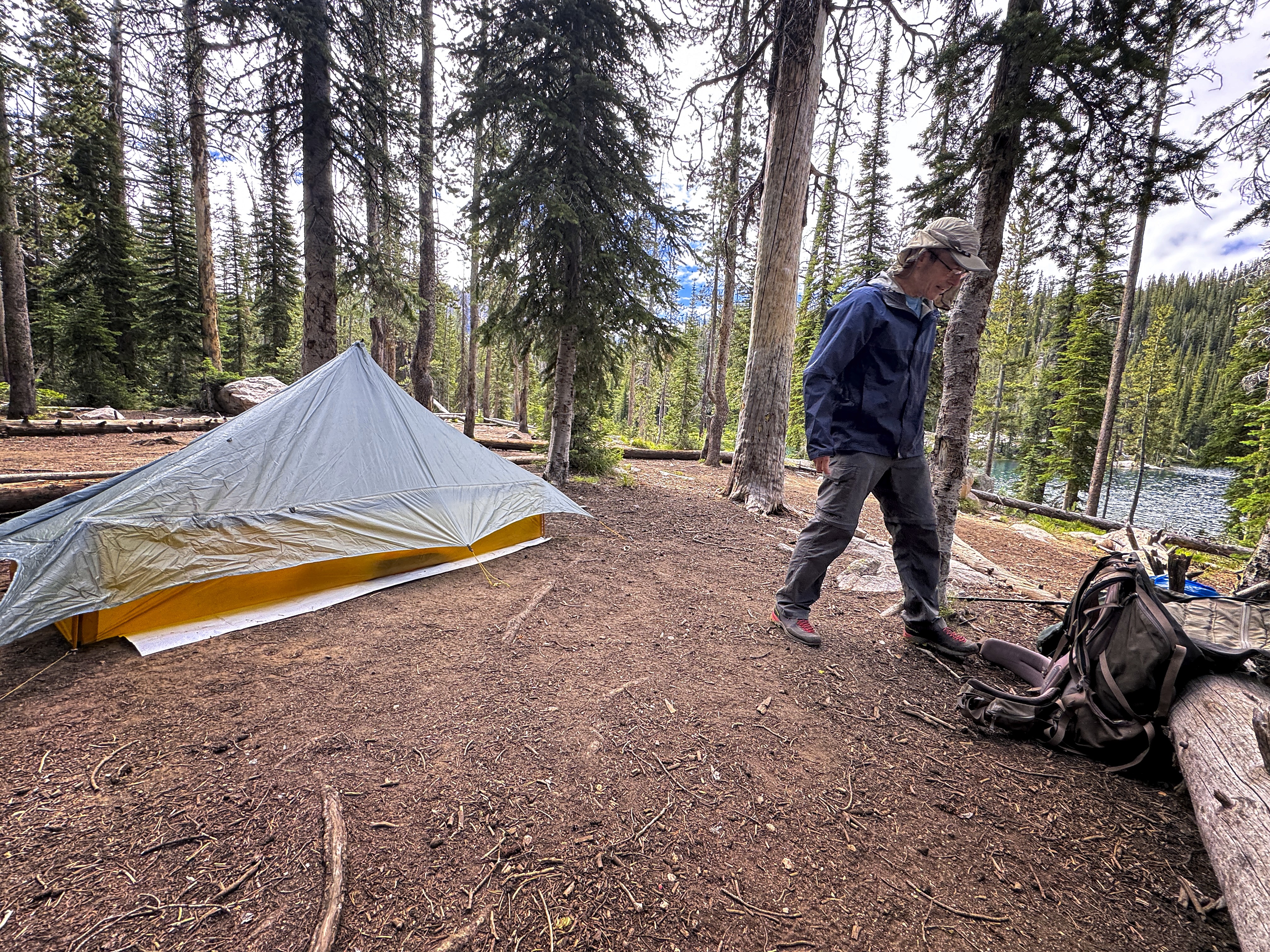
Steve moseys around camp
After a fine evening, we went to bed, only disturbed a little bit by a very loud fellow camping nearby with friends. His voice pierced the night, and he shared many opinions, though I can't remember the topic now. I had some headphones, and was able to retreat into the beautiful ambient soundscapes of Robert Rich.
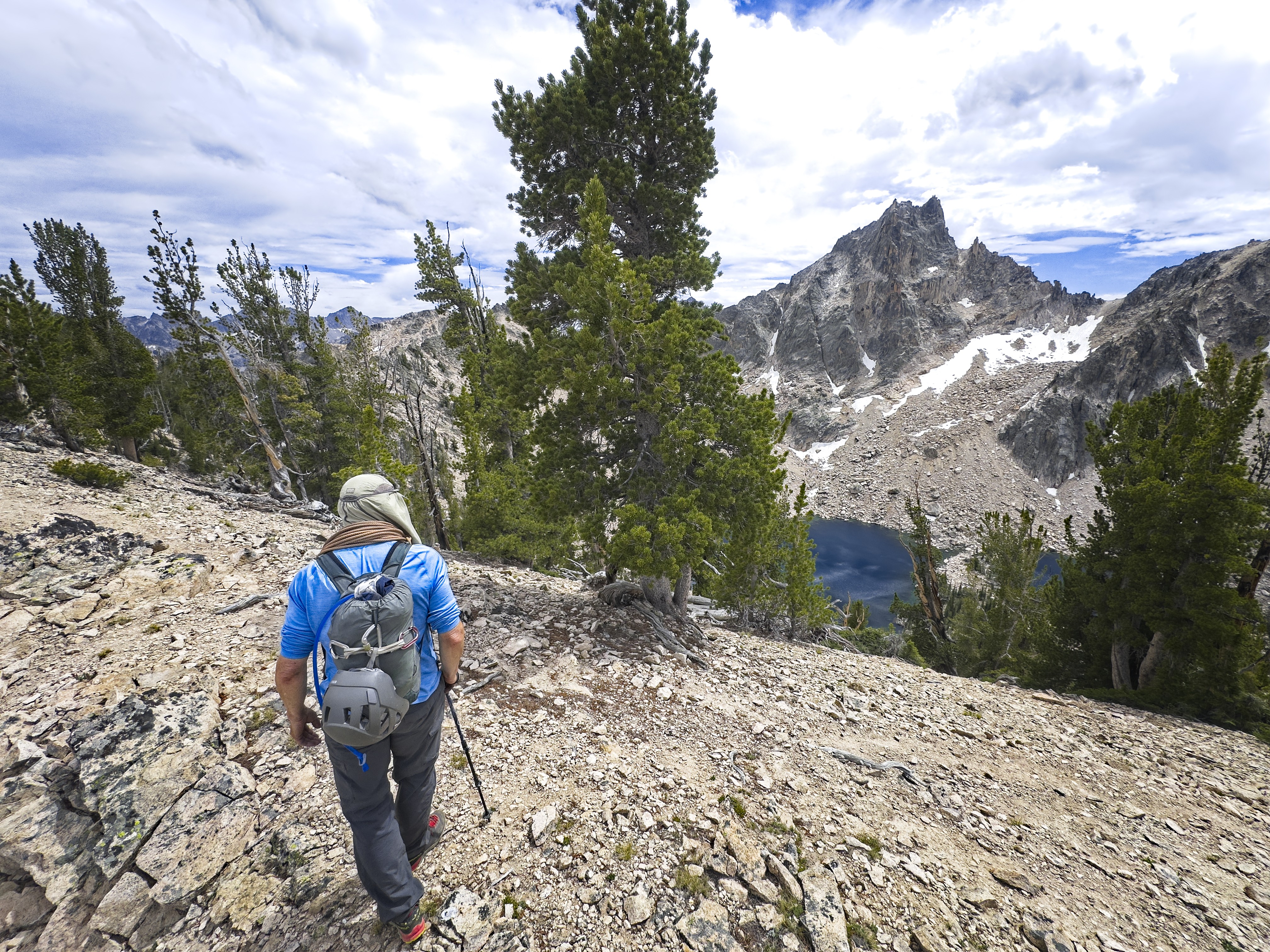
We were walking at 5 am, easily navigating the climbers trail and traversing the hillside in the darkness. We were aided by one piece of advice to gain the high pass -- we should stay left, rather than aiming for the lowest point of the pass as seen from below. This was a good idea. It allowed us to discover a climber's trail (again), and deposited us on the Northwest Face of Old Monte Verita (aka Peak 9769) exactly where a climbers trail traverses the scree/boulderfields. This trail was extremely helpful. It would have been much harder without it, so it's worth searching and finding it!
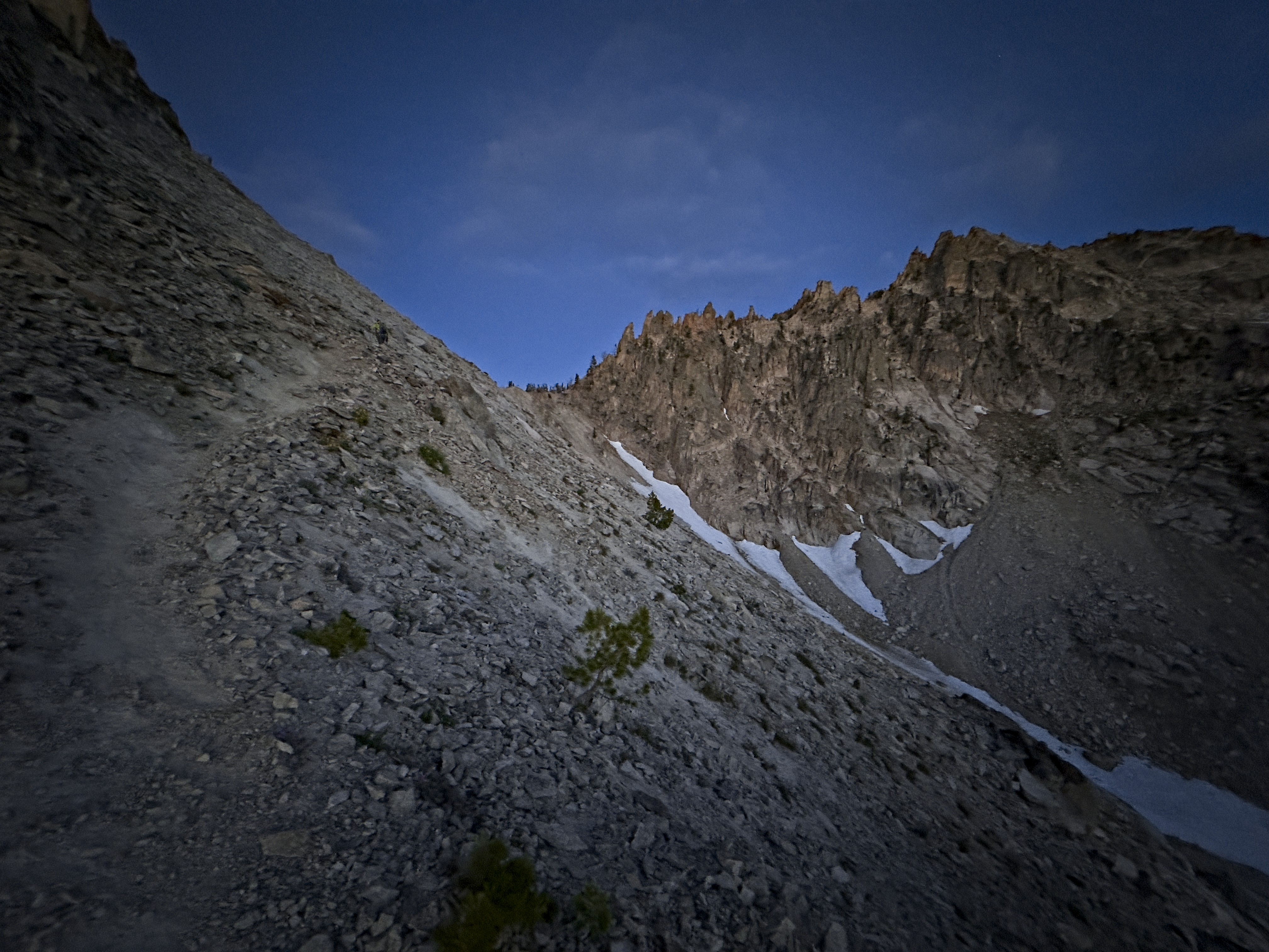
The "trail" on the northwest face of Old Monte Verita
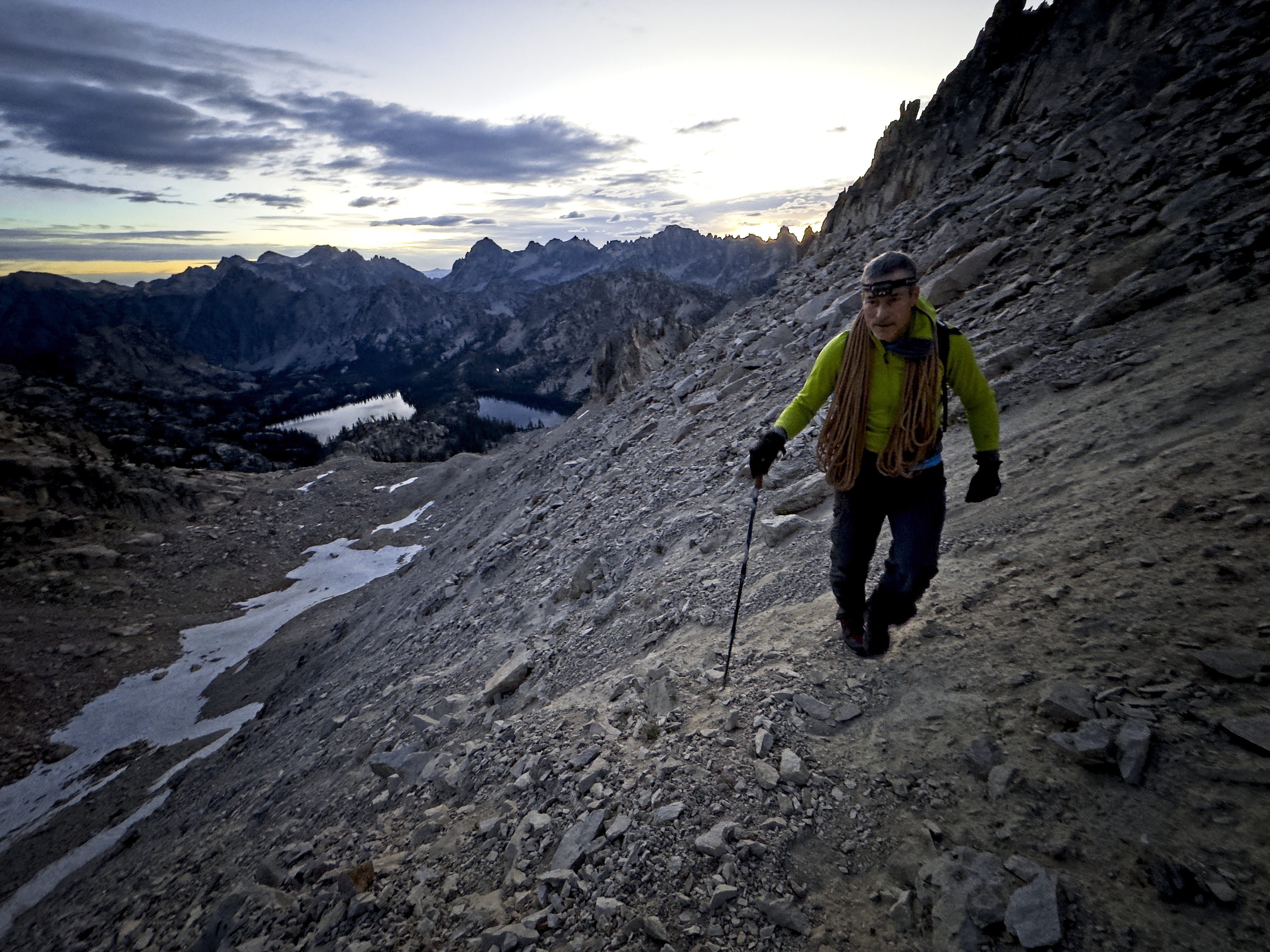
Steve follows this trail as the sun comes up
After 15 or 20 minutes crossing this face, we reached the pass looking down on Warbonnet Lake. An almost comical traversing descent of about 400 vertical feet followed. It was quite hard to stay attached to the trail at times! We were quite glad to only have our technical gear for this.
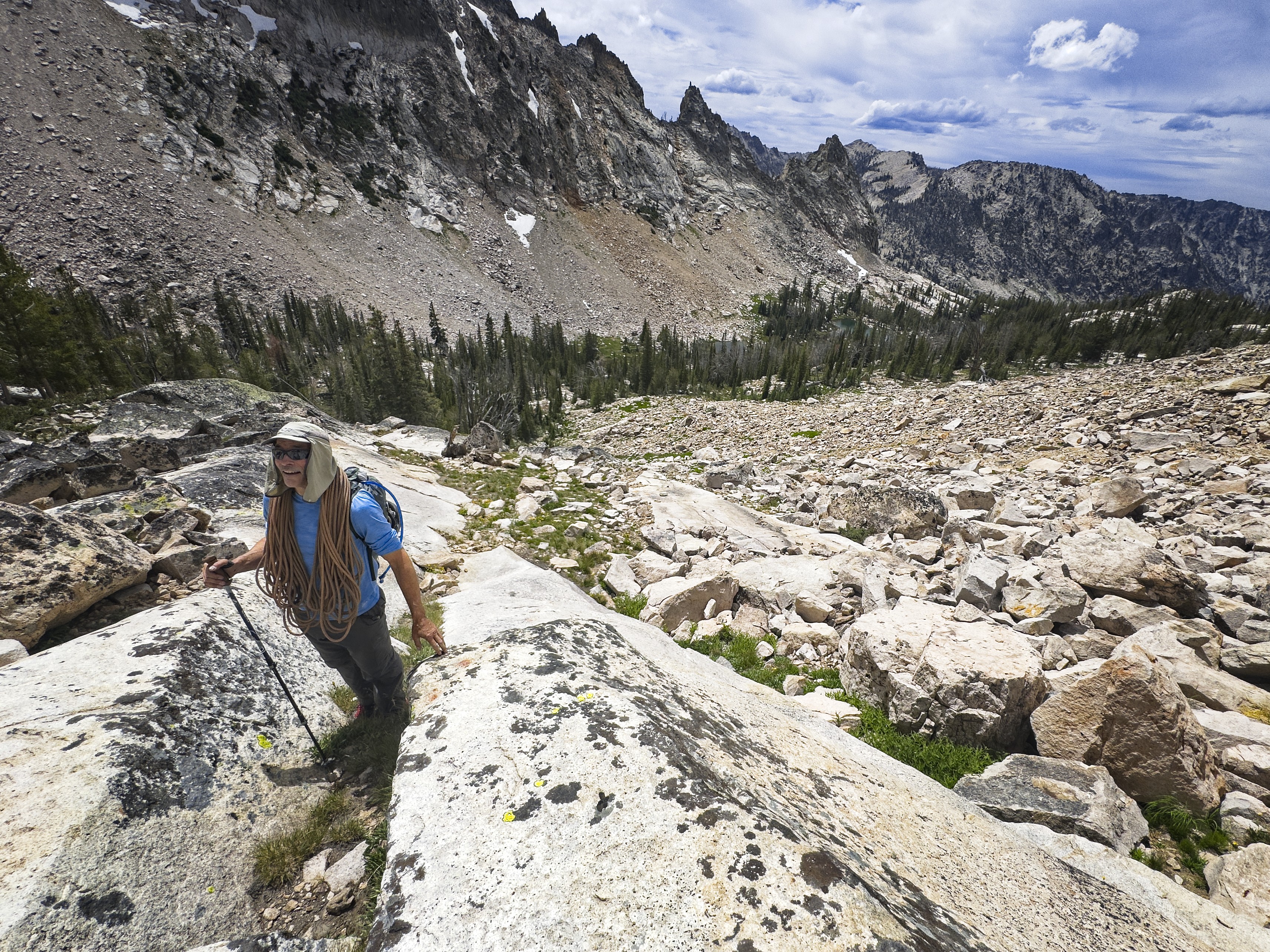
We emerged on a reasonable shoulder, then made our way across boulderfields northwest to the Bead Lakes. This went more quickly than we expected. We were also gratified that the route brought us right down to those lakes so we could get some water for the climb. The last part of the approach was a bit more work -- climbing northeast up to the pass between Warbonnet Peak and Peak 10210 (aka Cirque Lake Peak...it's quite interesting how many different names, or absenses of names occur between USGS topos and OpenStreetMap data for these peaks). I led up what I thought was a judicious line for a while, aiming for a point on the skyline not too high, then Steve led up through heather and steep forested slopes with large boulders until the rest of the way was obvious to the pass.
Michael on the ridgetop, about to drop down to a bench above the Warbonnet Lakes
Steve admires Packrat Peak above Warbonnet Lake
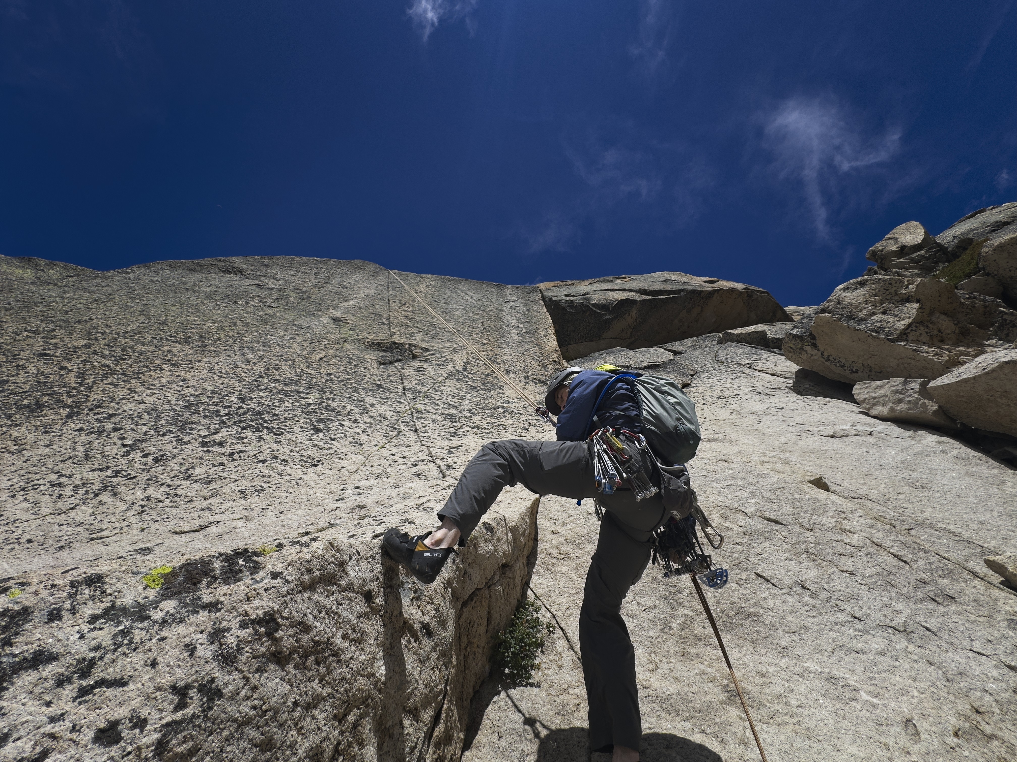
What a long approach! Finally we were roping up. I set off for pitch one, which just goes straight up to a slung tree (5.4).
I made a serious error in planning my gear, however. I had a short-sleeve shirt and a very light windbreaker. I should have brought a warm layer. Becuase it was COLD and WINDY! In fact, the sun rarely appeared for our climb. A few times, I felt exhausted by the wind and really wished for a bit of sunlight. Steve did the whole climb in a warm layer and windbreaker, and was therefore much more comfortable.
We briefly argued about the use of a rope signal to mark the end of the next pitch (short, but odd, going through a tunnel). My position is that given a particular known and shared context they are useful. Steve argues that there is no context in which a rope signal is useful enough to obviate the horror-scenario of taking an active climber off belay prematurely. Like many things, we each have stores of experience to back up our positions. Since his position is the more conservative one, it is appropriate that it wins out. Therefore, if we can't hear each other, even if the pitch is 10 meters, the leader will patiently pull in the other 50 meters of rope, and the belayer will patiently belay it out. Hey -- it's certainly simple, no chance of misinterpretation.
Looking across to Blue Rock Lake and peaks of the upper Goat Creek Valley
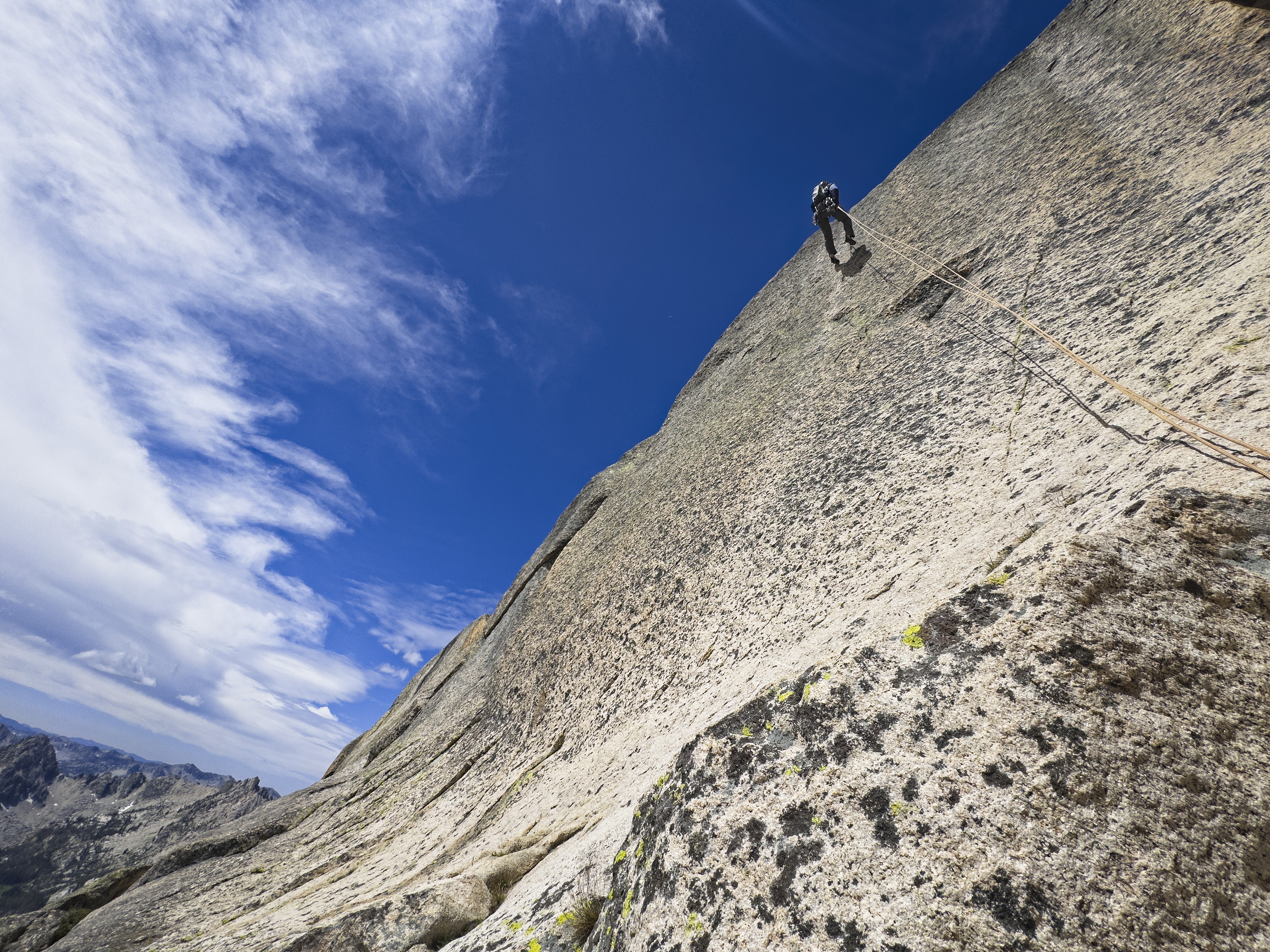
Steve below the route
So Steve set out and went through the interesting tunnel. Happily I could hear a muffled "off belay!" and respond appropriately. This was interesting, though it barely felt like a pitch. Above us were two cracks, the left one more appealing. I started up, placing a nut as I liebacked and stemmed, then switched to the right side. Here it got strenuous for a bit. I placed a cam, then lodged my feet in a way that was hard to extract. Finally I could go on, somewhat out of breath...whew!
The view from the pass where the climbing starts
Awkward stuff. Above, I should have turned left at the first obvious chance to round a corner, however, a horizontal crack and mantle move above me looked tempting from below. It was a tricky move, actually, and when I finished it and came around the corner, I had to downclimb slightly to get in position for pitch four. I also had to place some gear only for the purpose of keeping the rope from sticking itself deep into a crack and getting stuck.
Steve came up, and set off for pitch four (5.7), supposedly the crux of the climb. Although he felt the difficult start of the prior pitch might actually have been harder, this was still rather tough. It was a "hand crack," though it felt quite insecure to me, and I like hand cracks. Either it was too small or too big, and the edges of the surrounding rock are rounded. A good lead!
That pitch ended with a bit of friction climbing up to a wall with a double crack system going up to the skyline. I started up pitch five (5.7), first favoring the crack on the left, then moving right. This was my favorite pitch, because it had a more defined character than the prior pitches. In general, this route is an odd one. The climbing feels either too easy or too strenuous, and rarely elegant. With all the ledges, rounding corners, and even a tunnel, you don't get a strong sense of where you are on the mountain. Pitch five is a bit of an exception to this because of it's length and sustained character.
Michael on pitch 5 (5.7)
Anyway, after a few good hand and foot jams in the upper crack, things became too wide to protect. I continued up to the ridge crest, then balanced along it's rather-rounded edge up to an intruding block on the right side. The wind was strong and intimidating in this "don't fall" zone. I reached a rappel anchor and clipped it, then continued a few more meters to a slung block at the top of this ridge in a little alcove.
I could see the final pitch to the summit as I belayed Steve up in the strong wind and blowing clouds. We knew that an earthquake in 2020 had disturbed the final pitch, but we had information about a bypass. However, the wind was worrying us. We thought it might storm. The bypass involved slab climbing directly over a cliff-edge with no protection. And then, we'd also have to rappel from the summit directly down the ridge, which seemed a bit sketchy in the wind. Plus, I was very cold.
The summit block, inaccessable to us. See the bolt on the lower right, which
can't be reached. The "new way" is a hard leftward traverse at the bottom
of the image to reach a crack.
Steve set off for this last pitch, peeking gingerly around a great block to the unprotected face traverse he'd have to make for ~8 meters until reaching the single crack on the whole summit block where he could place some gear. He mentioned the bolt above his head and out of reach, formerly part of the final pitch before the earthquake destroyed a block necessary to reach it. Steve started out, invisible to me behind the great block...then the rope went slack as he came back somewhat more rapidly (I belayed him in). He came around the corner and said "no way."
The unprotected slabby traverse was simply untenable. And Steve is the better slab climber. The problem was that your feet are on the edge of a vertical cliff so there would be no forgiveness for a small slip. And many of those footholds are smears connecting between better holds. If a fall occurred, and you weren't badly hurt, you'd have to prussik up the rope from deep in a vertical slot.
I was initially disappointed and wanted to try myself, but I realized that a) the outcome would likely be the same and b) even if I did make the moves, the follower is in just as much danger on this traverse as the leader. Finally, I was cold and the weather seemed to be getting worse. It was time to head down.
So the earthquake defeated us. Neither of us would ever try and climb the "workaround" folks have found for the final pitch. Discussing it later, it seemed that the thing to do is bring a cheater stick and aid up to the now-inaccessible bolt. From there, the old route to the summit on the right side of the ridge can be followed (there are some more bolts/pitons on that line). It means the climb is an aid climb, but so what...it is a strange route and peak anyway.
Steve descends the "alleyways" between rappel stations
We made a short rappel into a chamber thankfully out of the cold wind. We descended a gully and tunnel, initially going too far and coming out at the ledge below pitch five. Reading our instructions more carefully, we went back up and took a left turn in the first available alleyway, this time reaching a different ledge with a rappel anchor.
Here Steve made a long rappel down and around a corner (skier's left) to another anchor. We made a short 5 meter rappel to a tree anchor, then I made a long rappel that exactly reached scrambling terrain below and south of the base of the route. Our rope was 60 meters long, so this rappel was 30 meters with stretch.
Steve sets off for a long rappel
The last rappel to walking terrain
A similar image
What an adventure...not the most satisfying climbing, and it was frustrating to be denied the summit. However, as we reversed our approach route, we took joy in finding the best way down, then across and above the lakes. Then to the first and second passes, and finally down to Alpine Lake. Always with care, and lots of discussion about the best way. In the end, this is my favorite thing about Warbonnet Peak -- the overall off-trail adventure and route-finding challenge.
Michael at the lower Bead Lake
Climbing up a bit to a bench above Warbonnet Lake
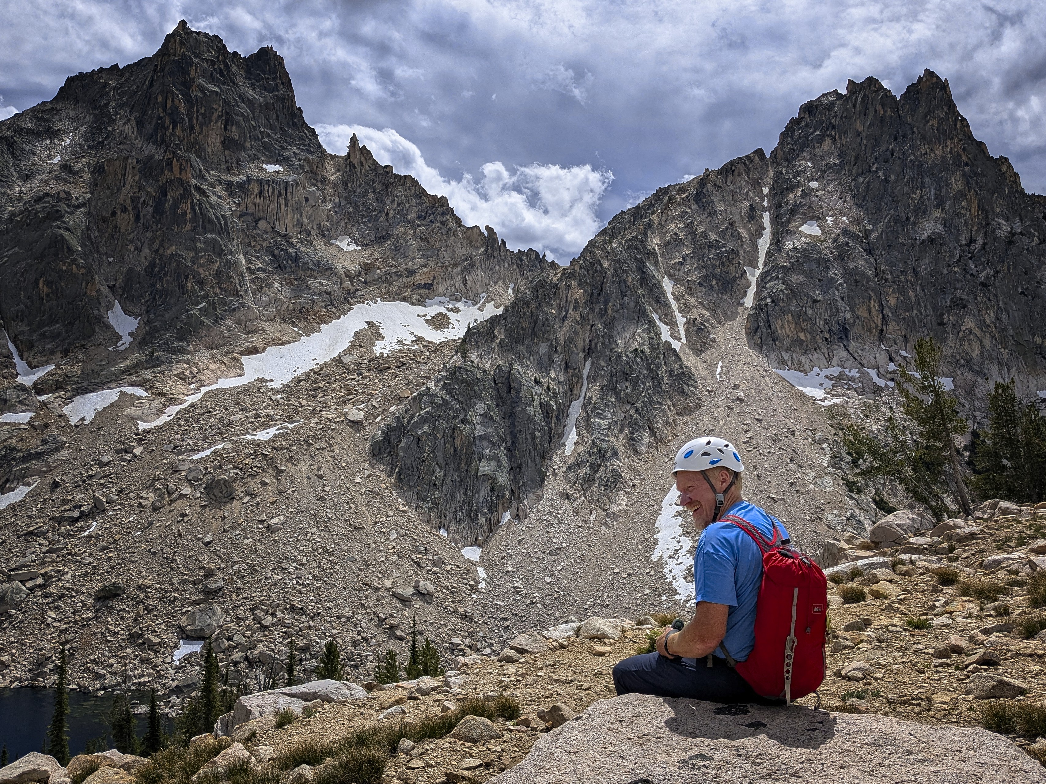
Michael resting at the bench
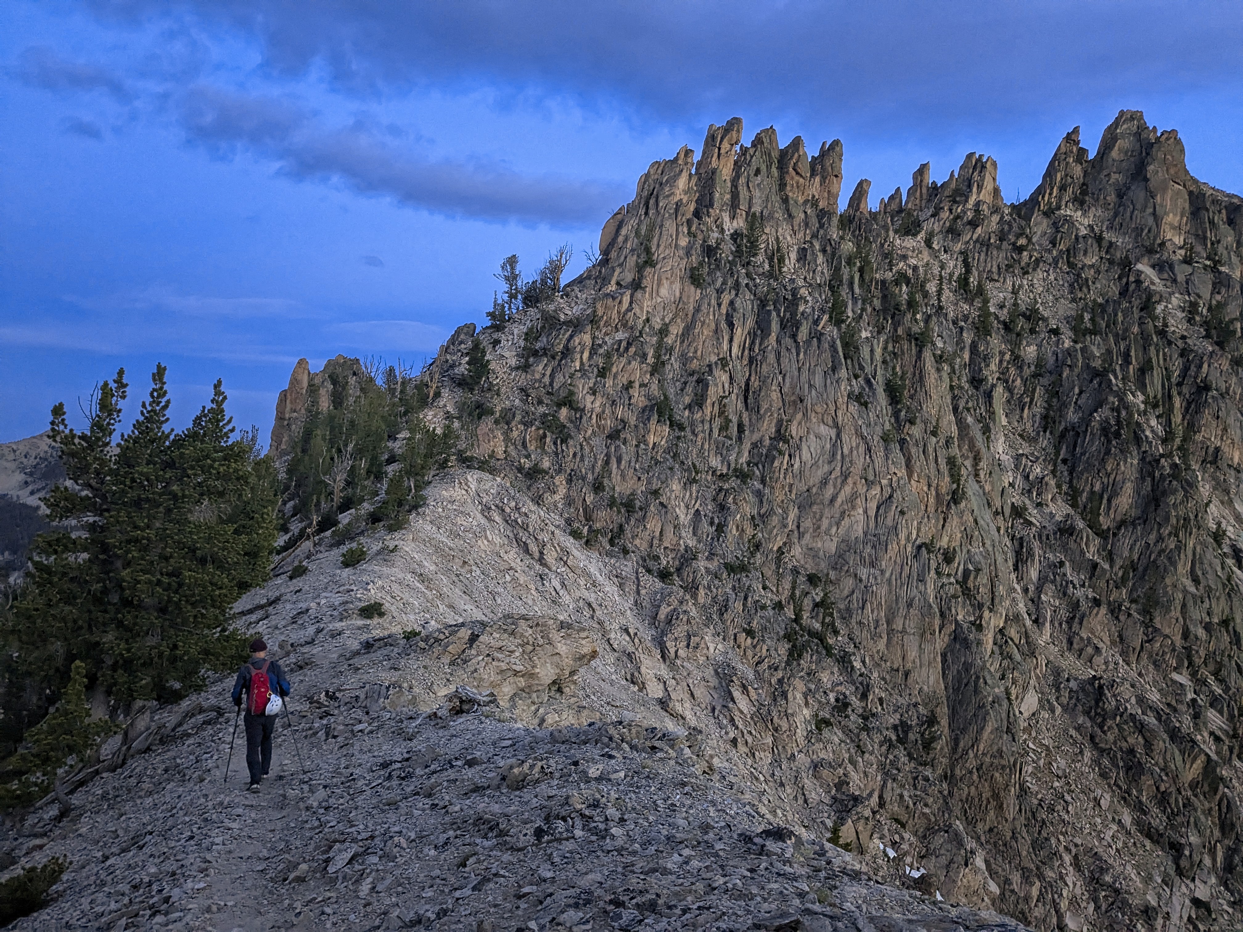
On a ridge crest
We were certainly tired on return, and crashed out before making dinner. In the morning, we were up early enough to trot down to make the 9 am boat. This worked out well. We headed off to get some good greasy breakfast of pancakes, eggs and coffee in Stanley!
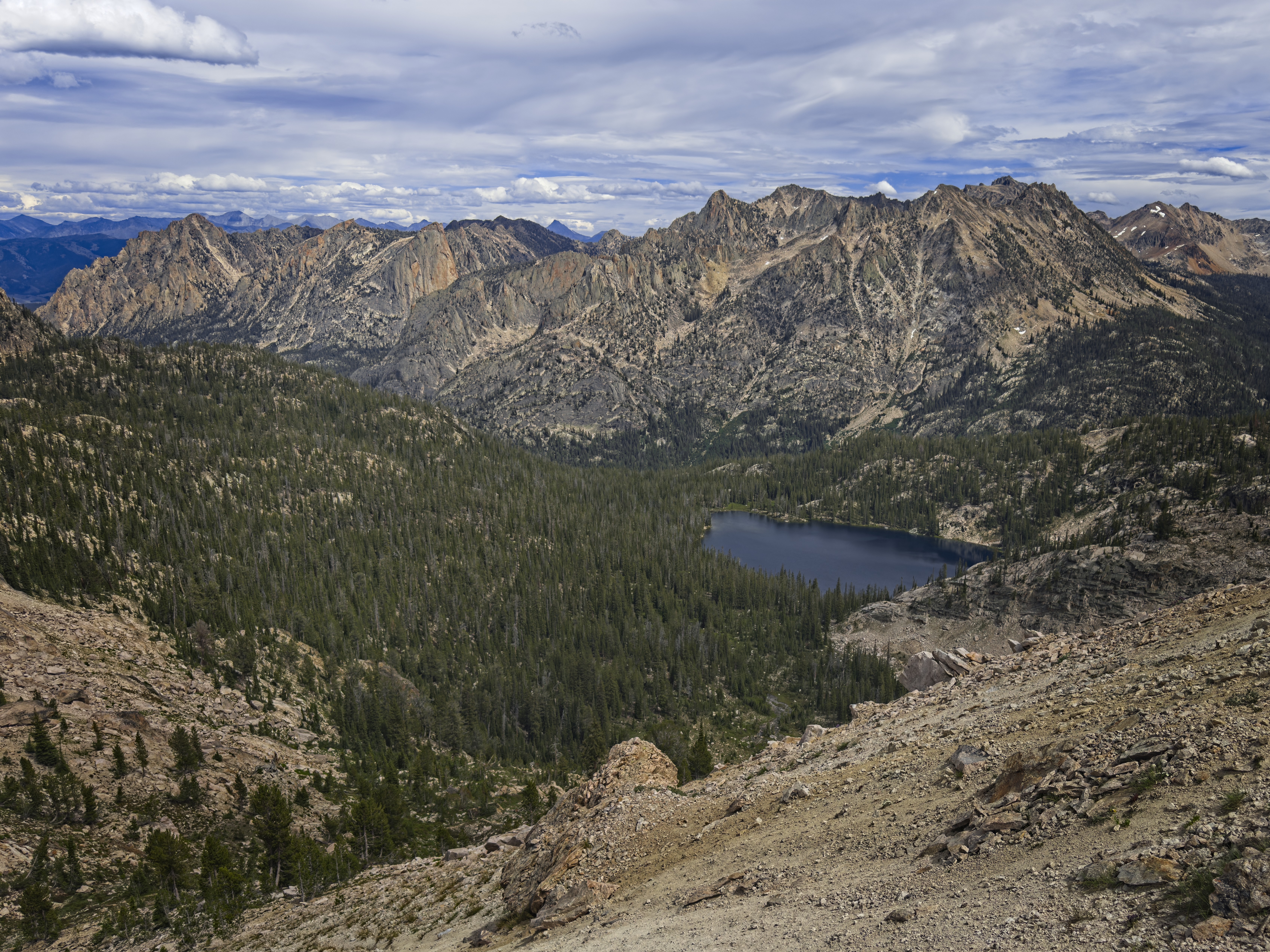
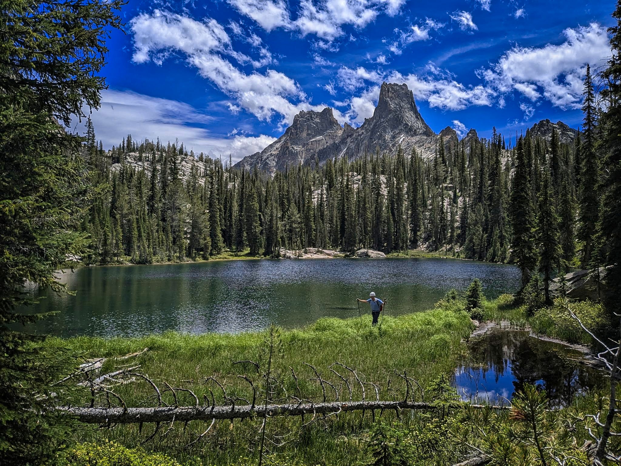
Looking down to our home for the night, Alpine Lake