Mount Adams North Cleaver
Friends: Only God!Location: Mount Adams
Elevation gain: 2350m = 450m + 1900m
Years ago, Steve, Dudley, Joey and Joe and I tried this climb. We were hampered by footwear (Joey and I only had tennis shoes, but we did have those Stubai aluminum crampons), and then high on the mountain weather shut us down.
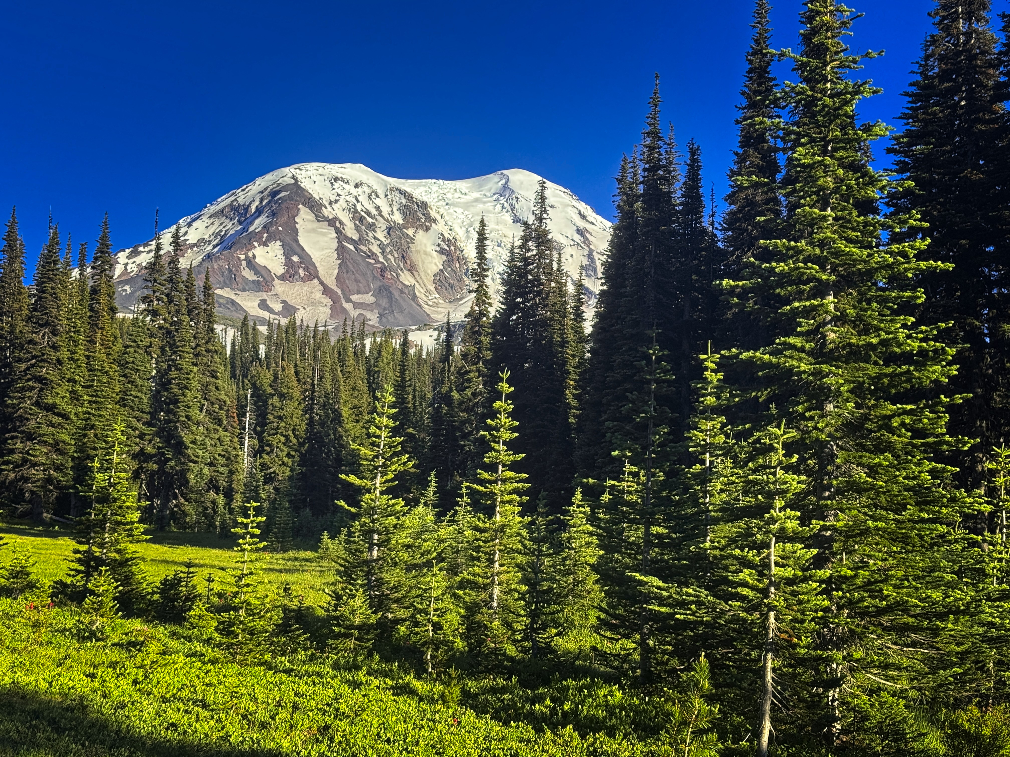
Mount Adams, or the Yakima name, Pahto
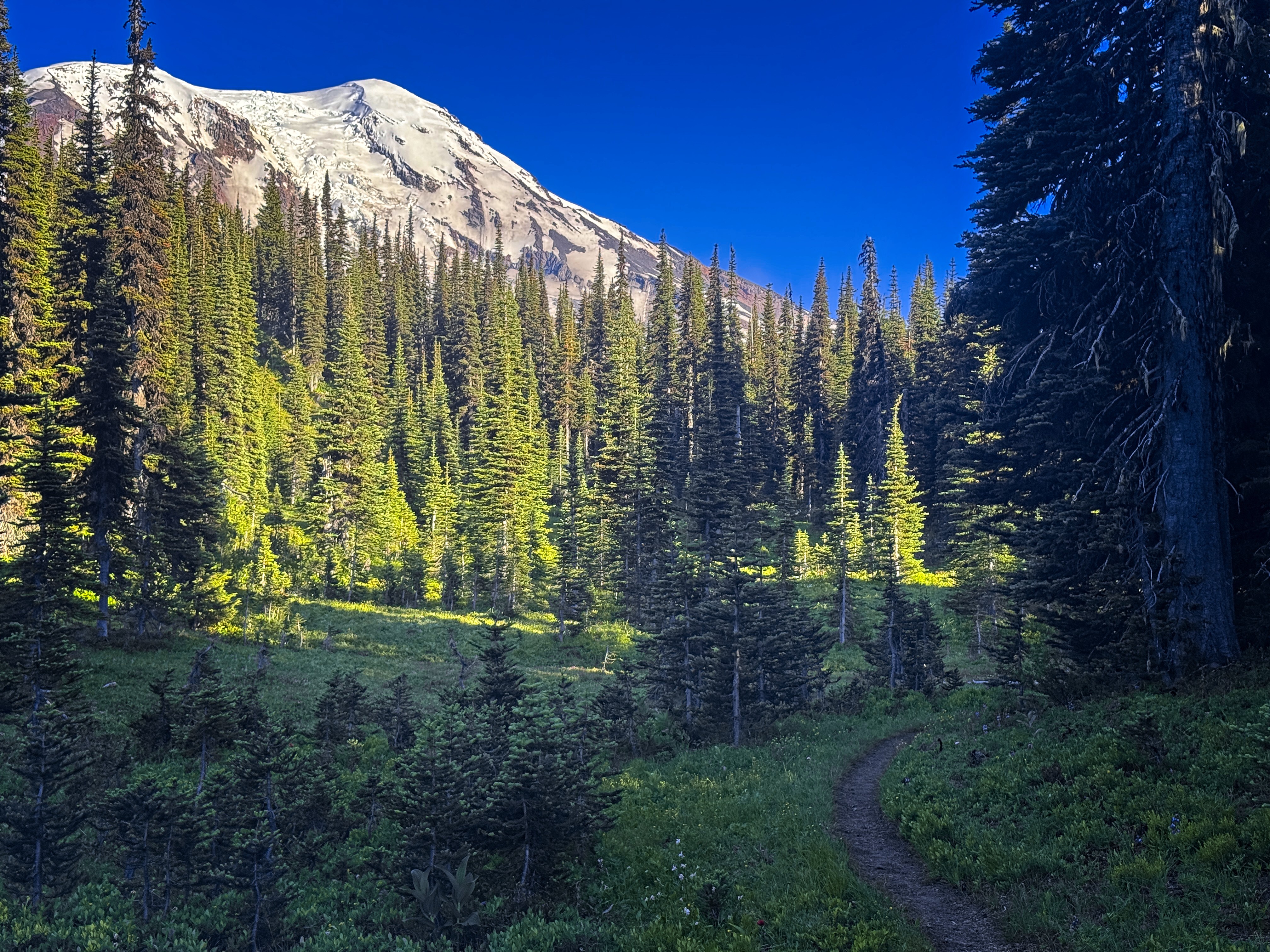
Again, from the trail
I was in the area and the weather was good. Why not try again? Foolishly, I followed Google Maps directions where driving through the Yakima Reservation would save an hour. That is, until the sign on the road indicating that it wasn't allowed to travel without permission. Okay, back to Yakima!
Insert coin, try again. This time I followed gravel roads about 25 miles south of Packwood to reach the Killen Creek Trailhead. What an adventure. I purchased the climbing permit online. They want you to leave a printout in your car. I guess I need to get a portable printer! I made do with writing down all the information on the pass.
Okay, finally I can take off. The big boots felt clunky on the trail. It was about 7 PM when I started. This trail is actually quite steep...on the way up I just thought I was tired from all the driving, but on the way down I noted the many big log steps.
Tiredly, I said I'd have to hit 6000 feet to make the climb day about 6300 feet of climbing. I found a flat spot on a knoll just off the trail, and closed myself in the tent against the many mosquitoes. A couple had given me some organic citronella spray, which they said didn't work. I happily took it because I had nothing else!
Soon to sleep, with an alarm for 4 am.
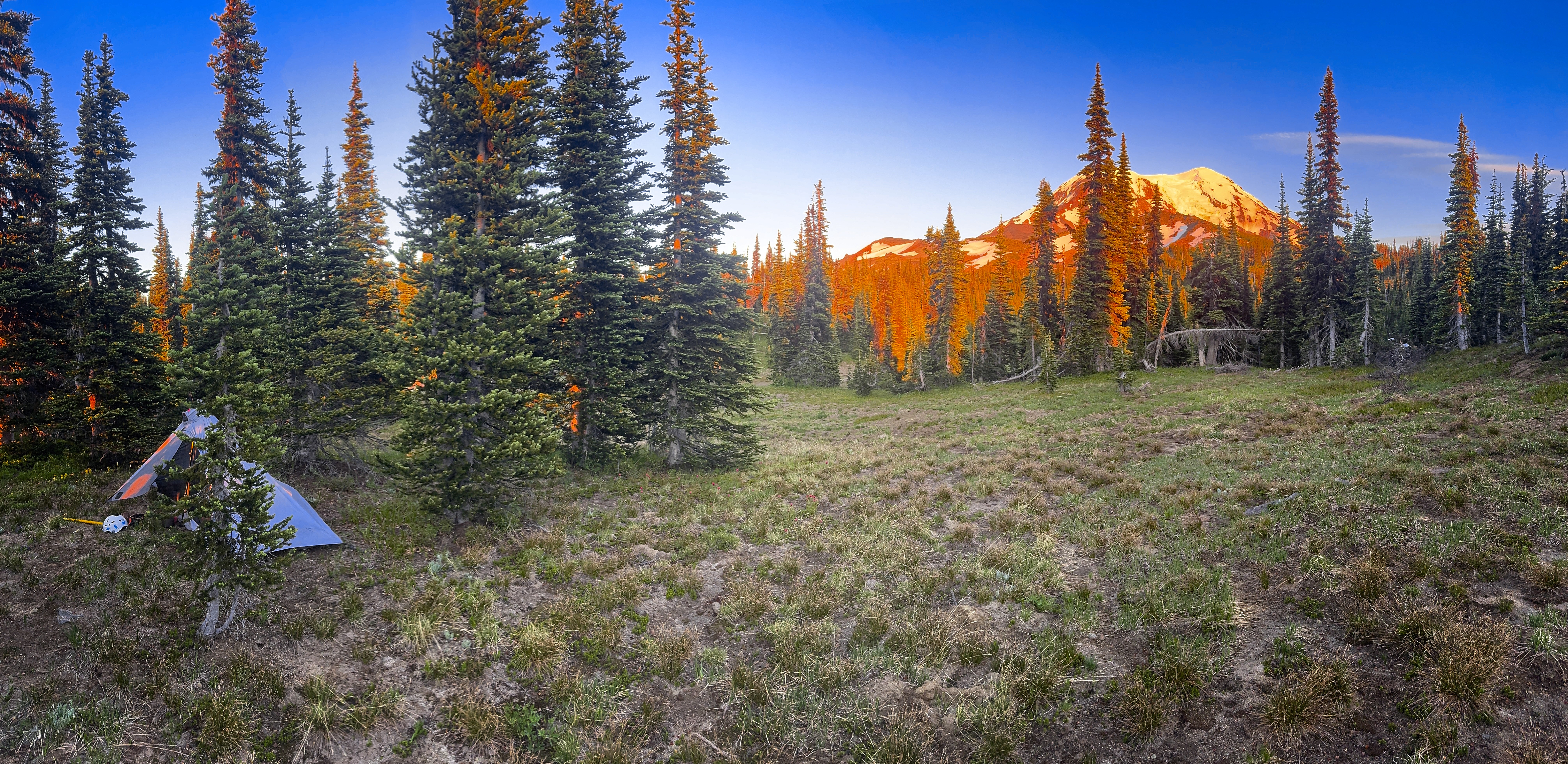
My camp at 6000 feet
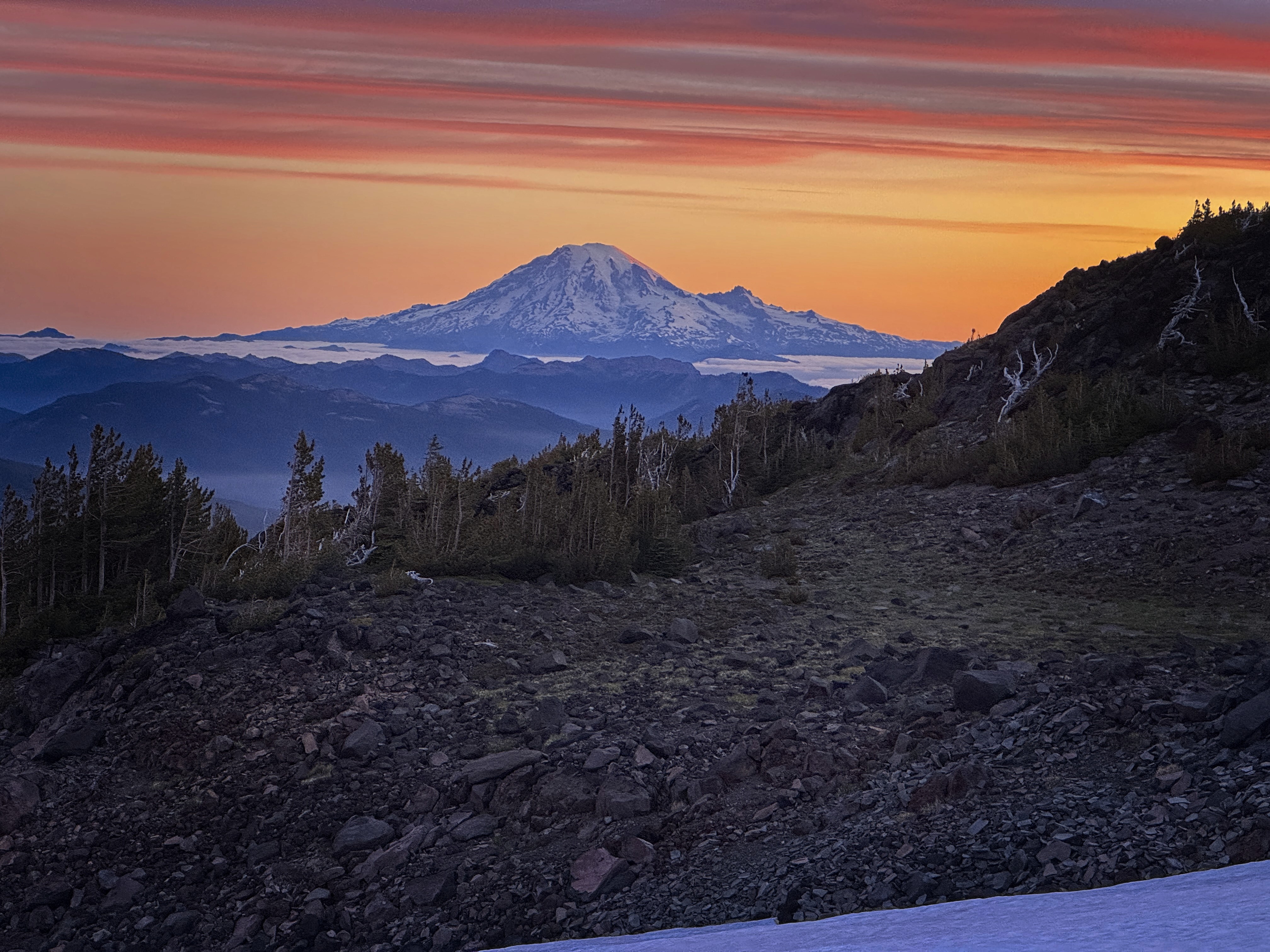
Mount Rainier in the dawn
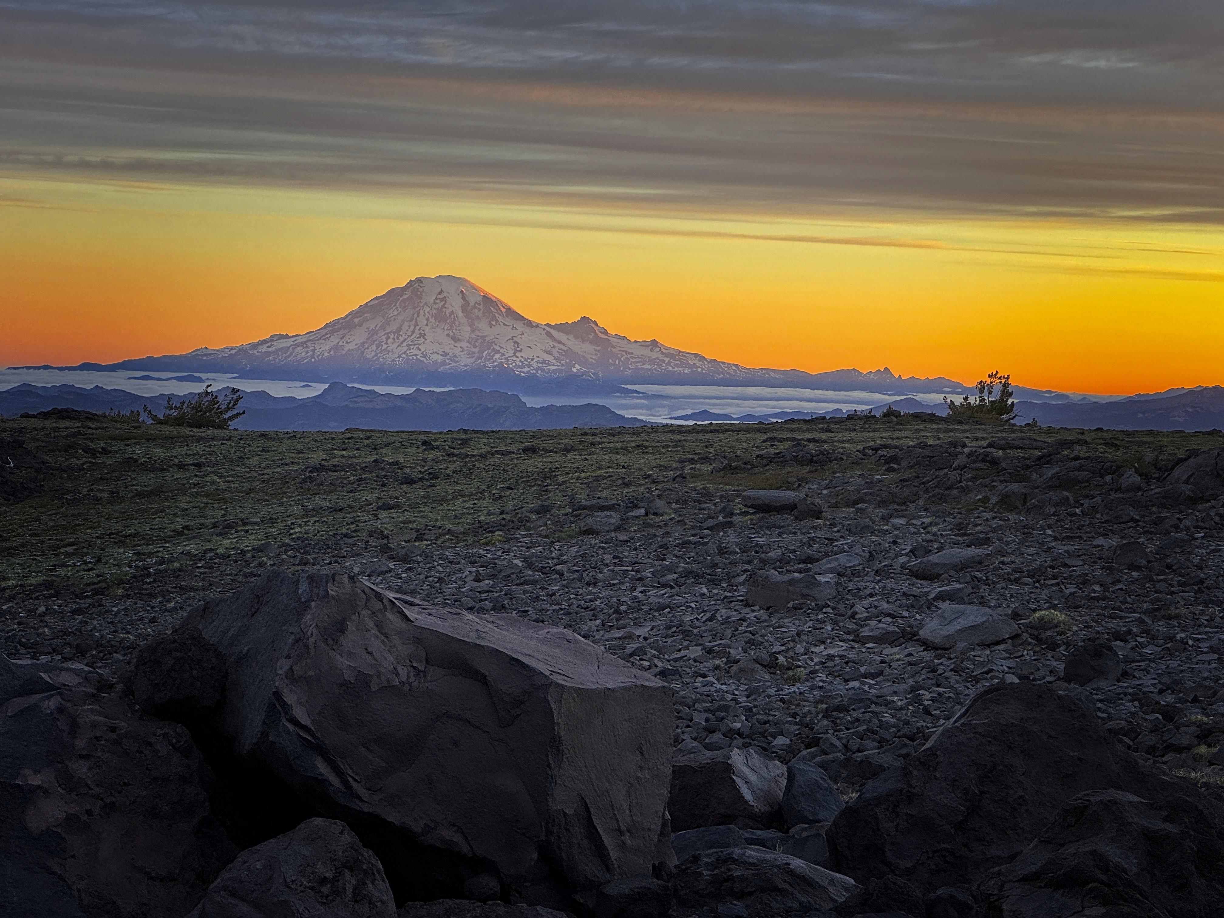
A similar scene
In the morning, I fumbled some crackers into my mouth and started walking. I brought the stove, imagining getting water from snow high up on the peak. I'd forgotten my spoon, so eating oatmeal would be difficult, but I had a little piece of plastic I could use.
Basically, systems are not wired for overnight camping at this point!
I made it up to a lake with icebergs and saw a few tents, unfortunately, they had to suffer as the dogs inside the tents began barking furiously at me as I crunched past on pumice. I could see the outline of dog faces straining against the fabric!
Those were the only people I'd "see" until the summit.
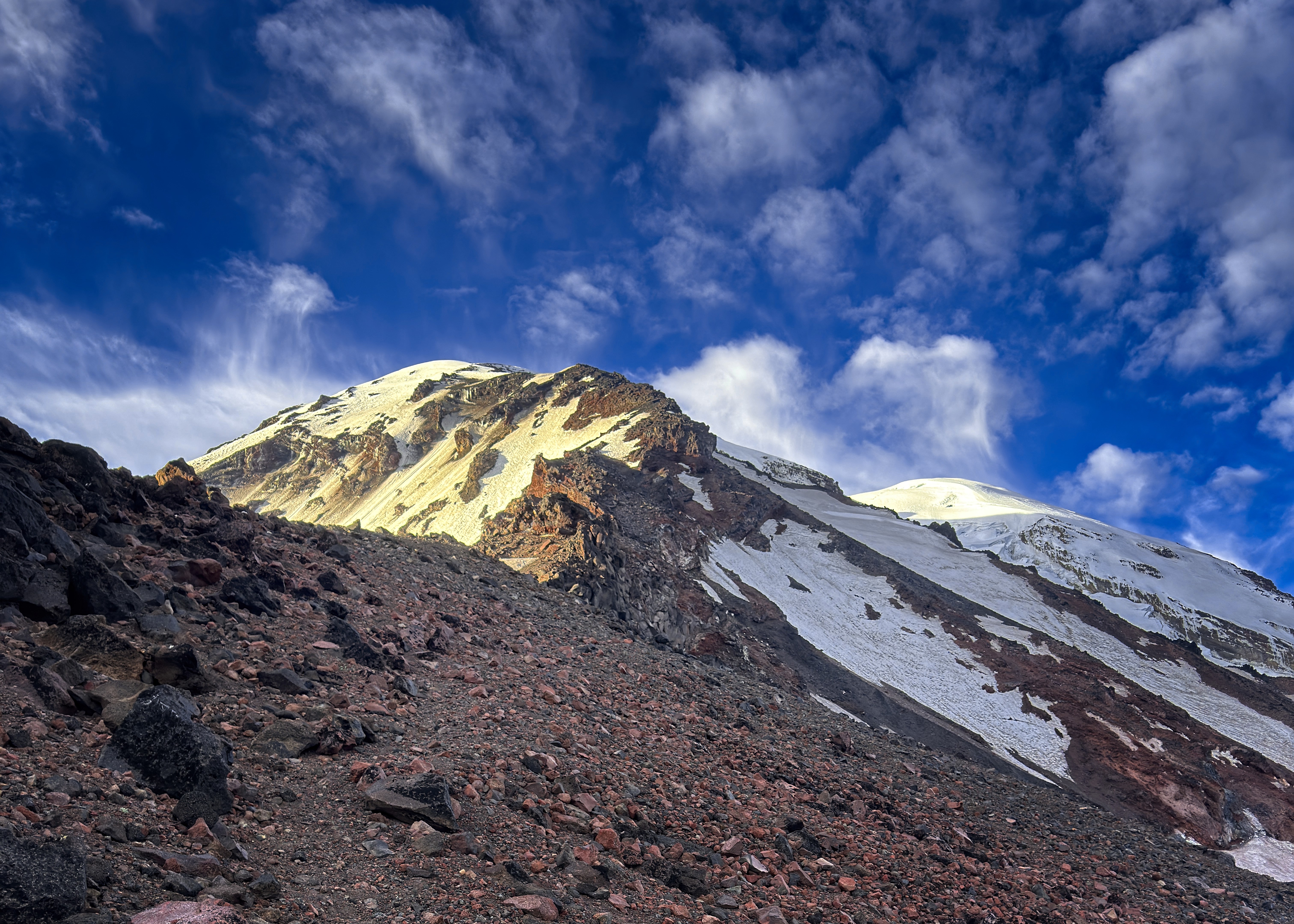
My route in detail
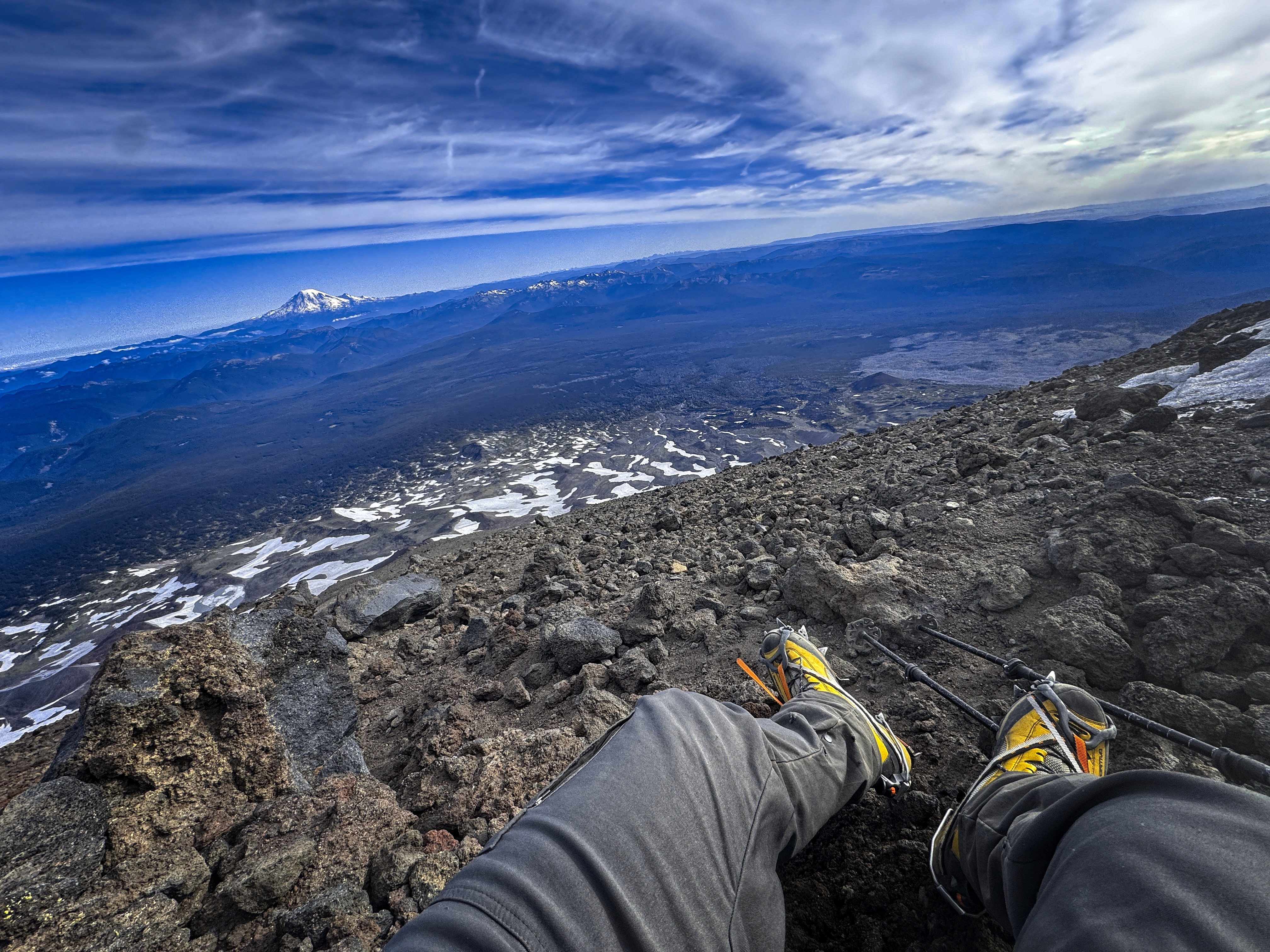
Somewhere high on the peak. I must be out of the wind,
otherwise I wouldn't have taken a picture!
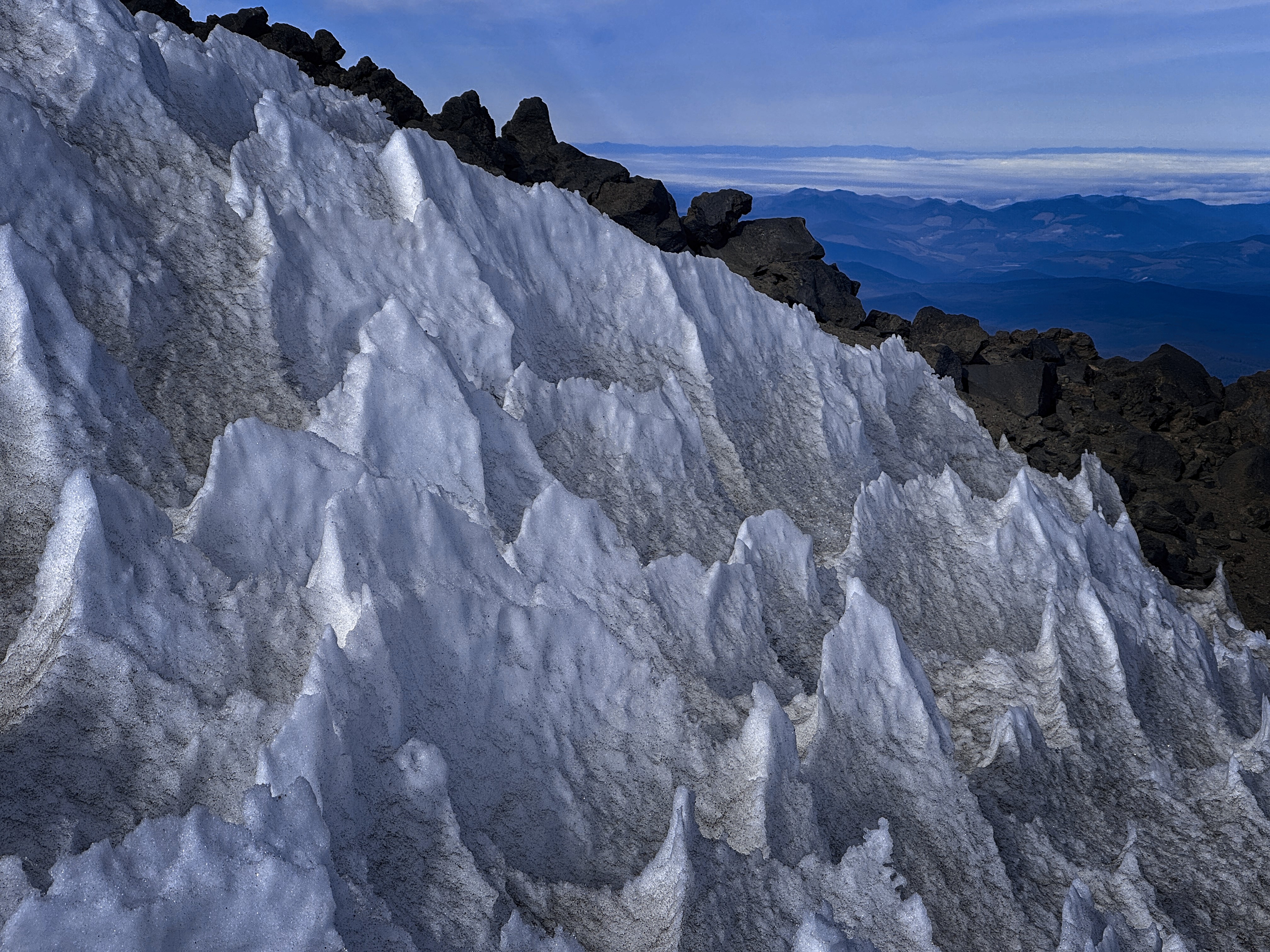
Penitentes, or "penitent snows" high on the peak. Beautiful "Brownian motion"
Right away on the ridge top I found myself doing climbing moves, then, thinking better of it, climbing back up and walking around to a dirty gully to avoid it. This is the climb in a nutshell. You shouldn't commit to hard stuff, because everything might collapse! Go around, good sir.
Passing a tower on the left, then on the right, then again on the left, but perhaps I shouldn't have. Here I put on crampons for steep snow. I ended up traversing a long ways, and had to climb hard snow slopes for a long ways to finally rejoin the crest. Higher, looking down on that section I saw a track staying atop the ridge crest, and resolved to follow it down.
Above this there was a mix of snow slopes, or scrambling with occasional use of hands. I really enjoyed a volcanic ramp on the crest, which I walked on the right side over a shattered basin. The ramp/ledge overhung slightly, lending a serious atmosphere to the section.
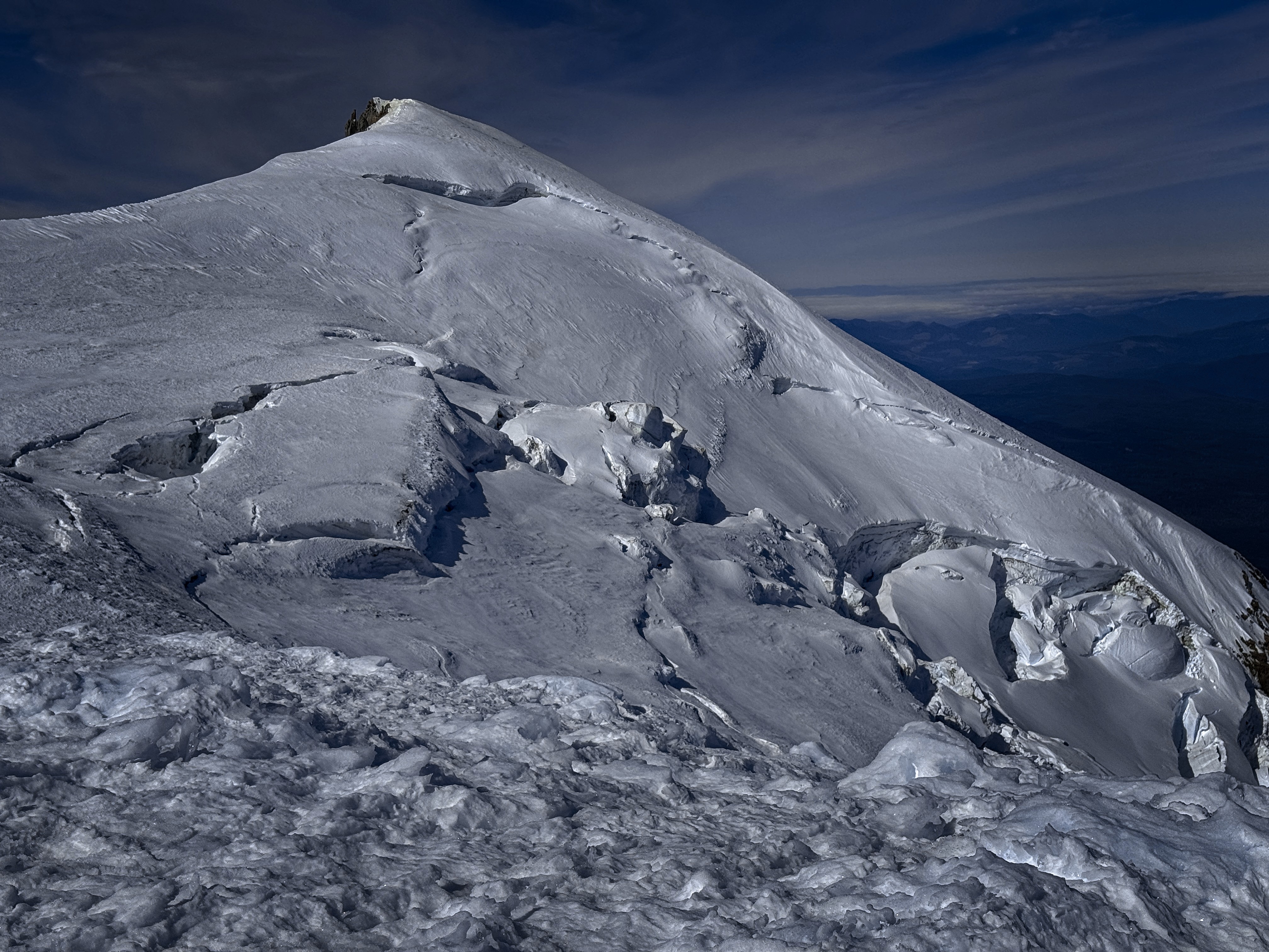
The Adams Glacier
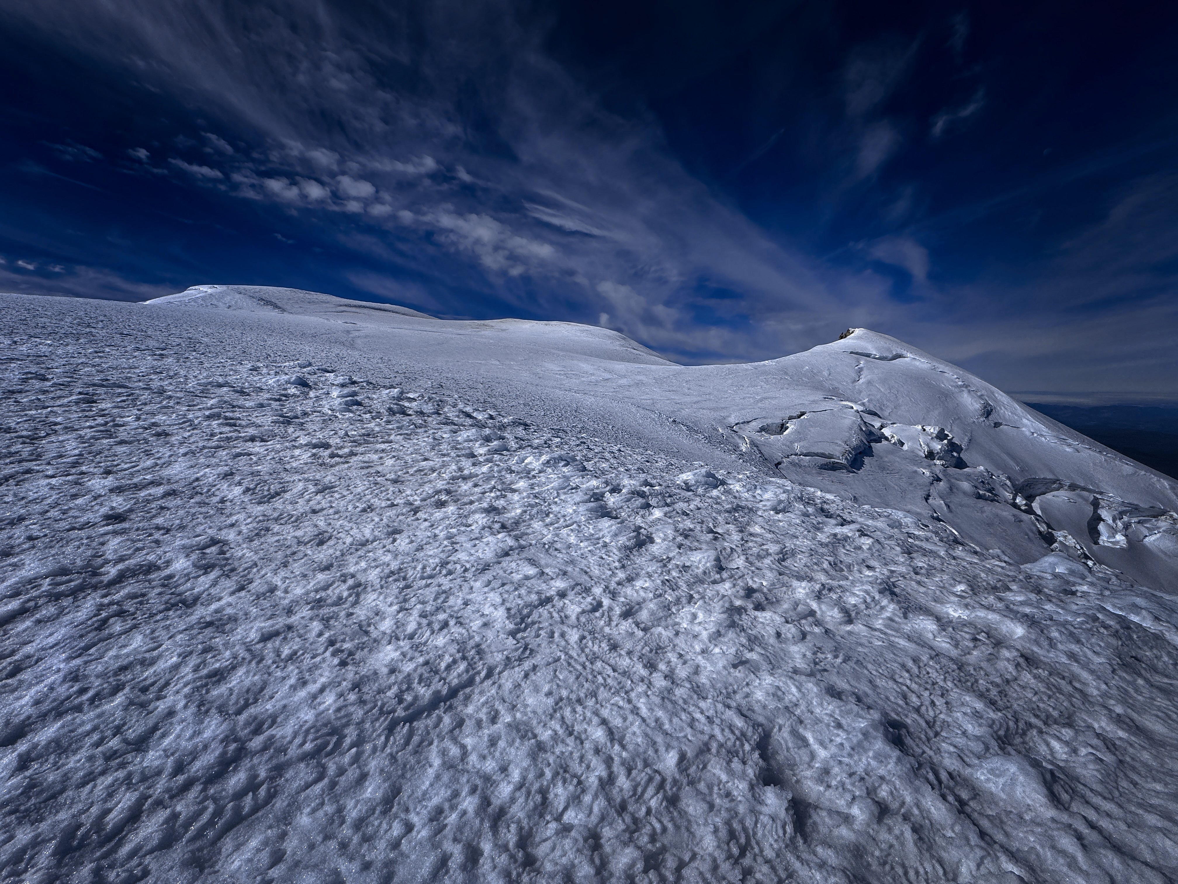
A typical view high on the peak. A sometimes mentally taxing
ocean of white which seems to go on forever. And the screaming
wind!
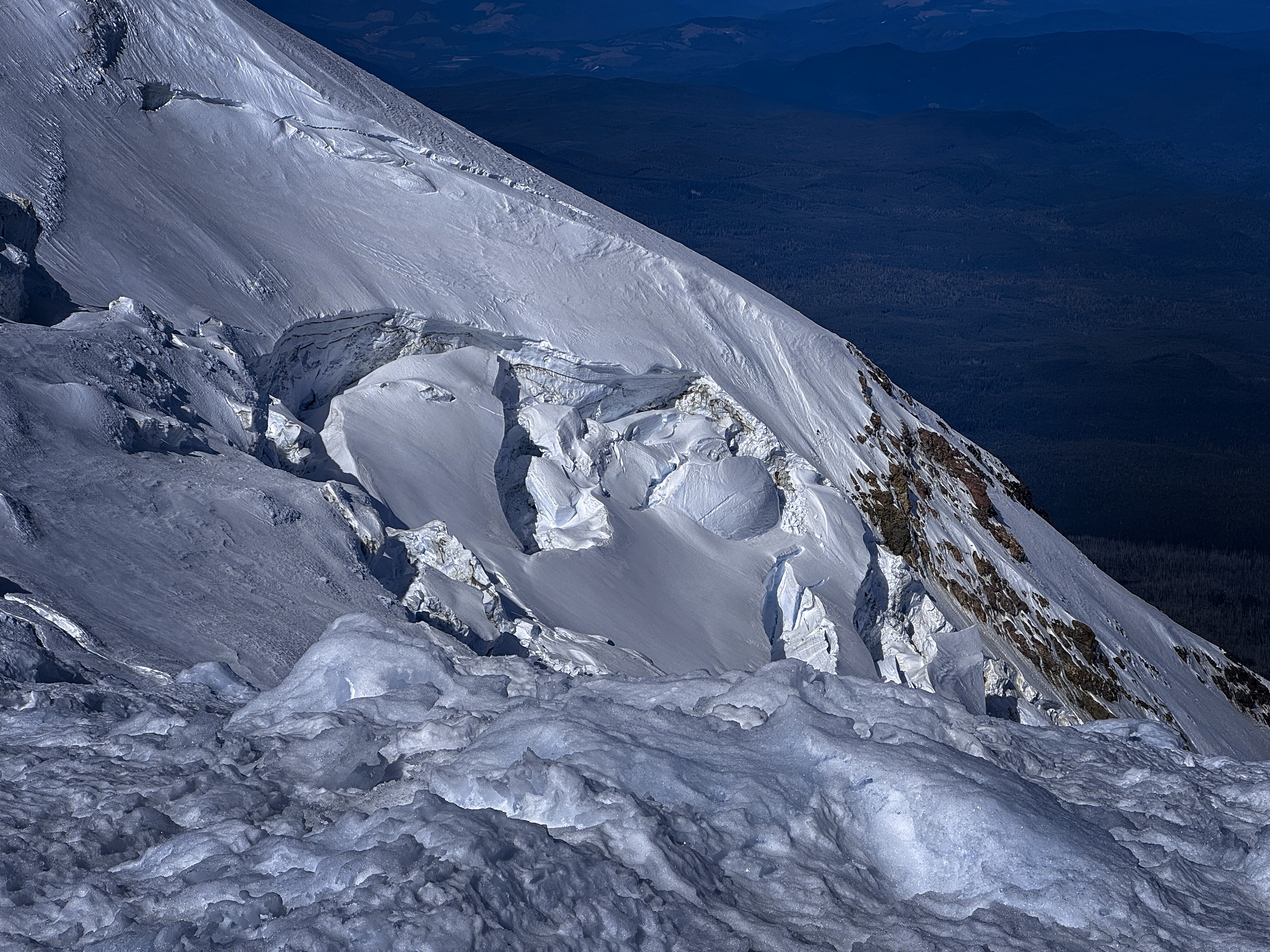
Close-up of the Adams Glacier, looks like a great climb
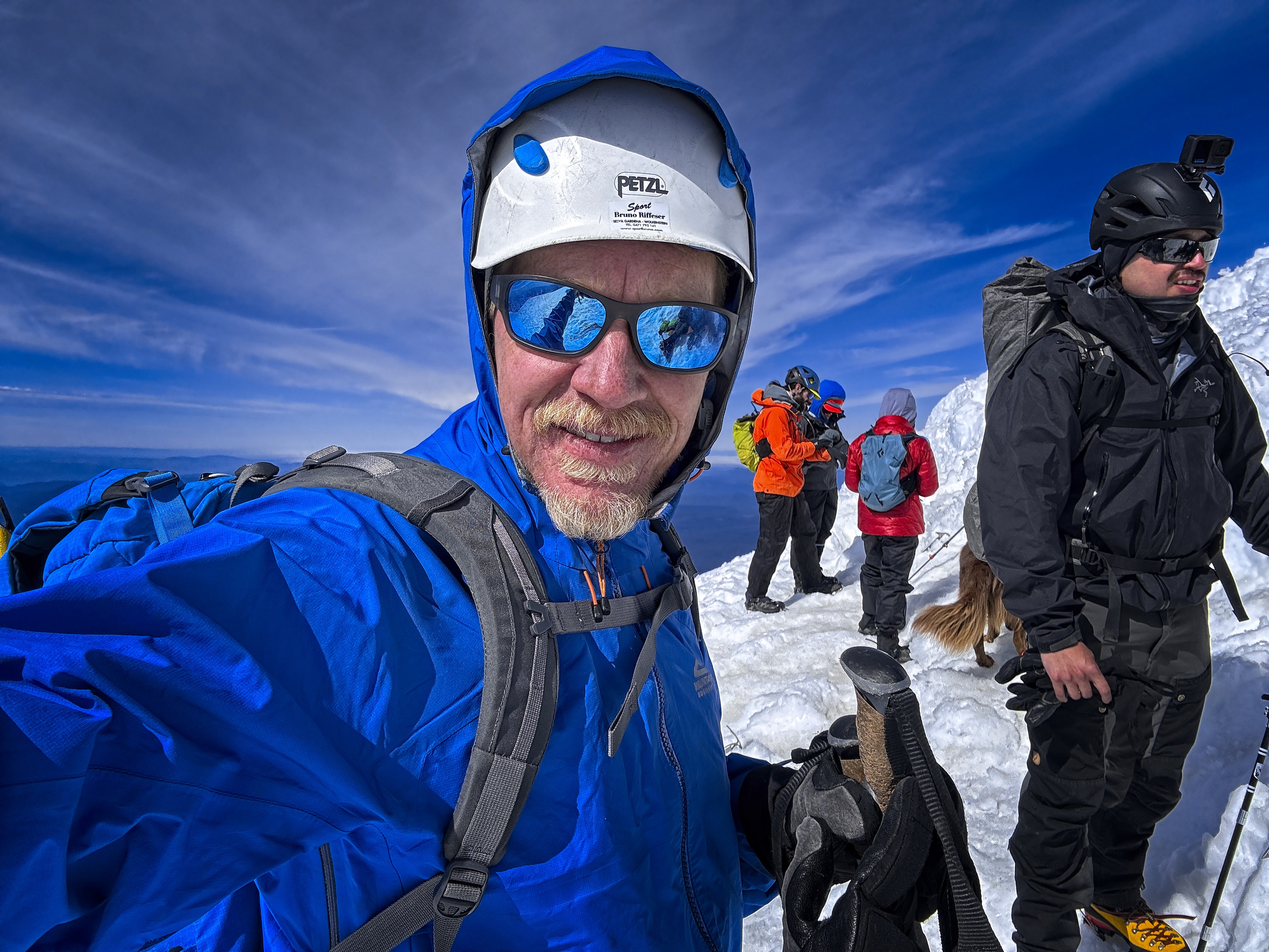
On the summit with the many-people all of a sudden
Soon I was amid penitentes, which I labored among, bowing and scraping along with them. There was a freezing wind coming from the west, which created the penitentes and kept the snow frozen. Higher, the slope is nondescript, and rather wearying as a view. Only the upper Adams Glacier and the Pinnacle atop it provided visual interest.
Finally I reached the summit, with a little crowd of people who came up from the south side. I conversed with a fella from Wisconsin who comes out here to climb. Also an Italian man who I mistakenly thought sounded Polish or Czech, at least until he spoke longer, then it was more clear.
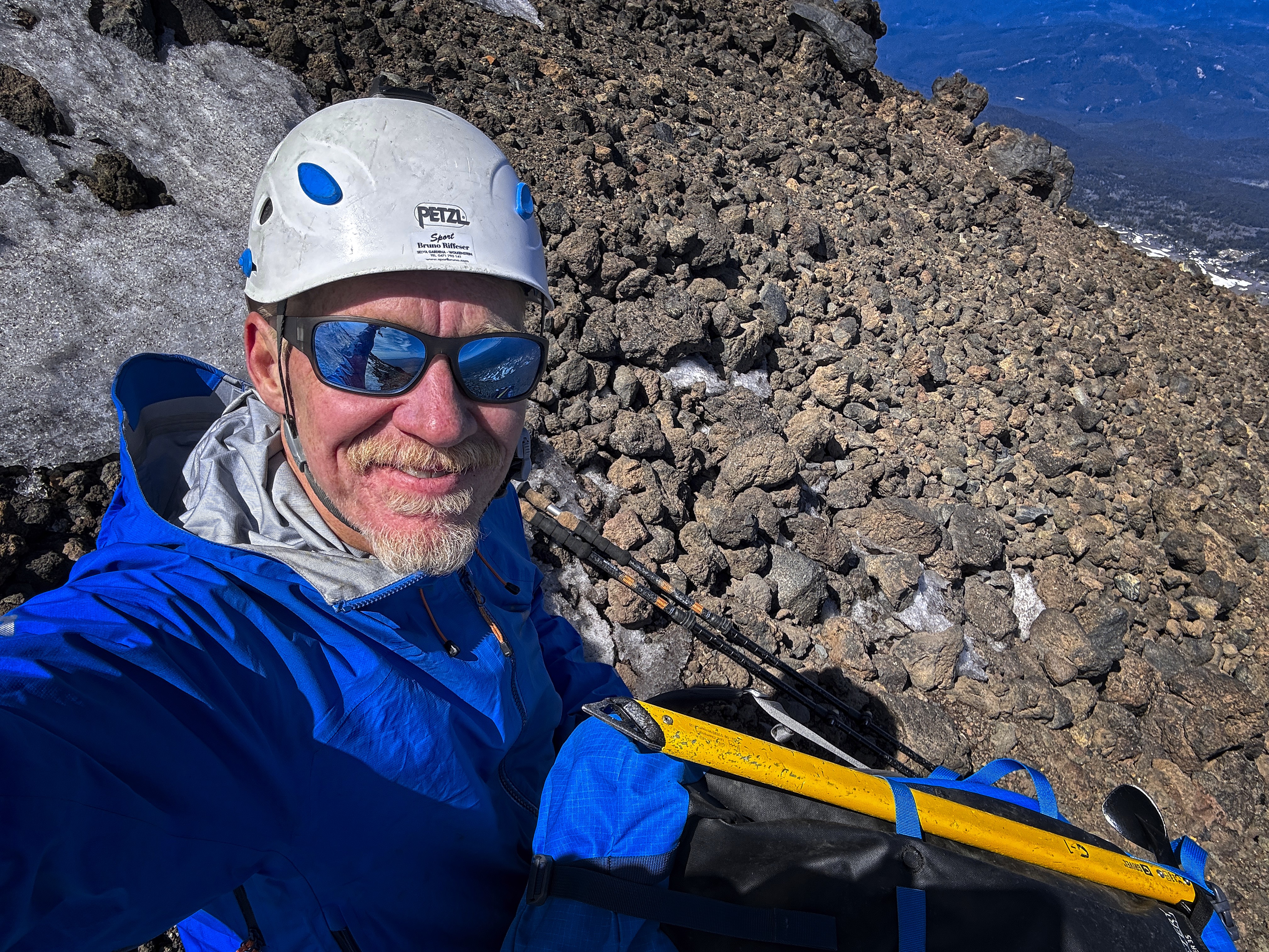
Resting out of the wind, back on my ridge. Happy to be here
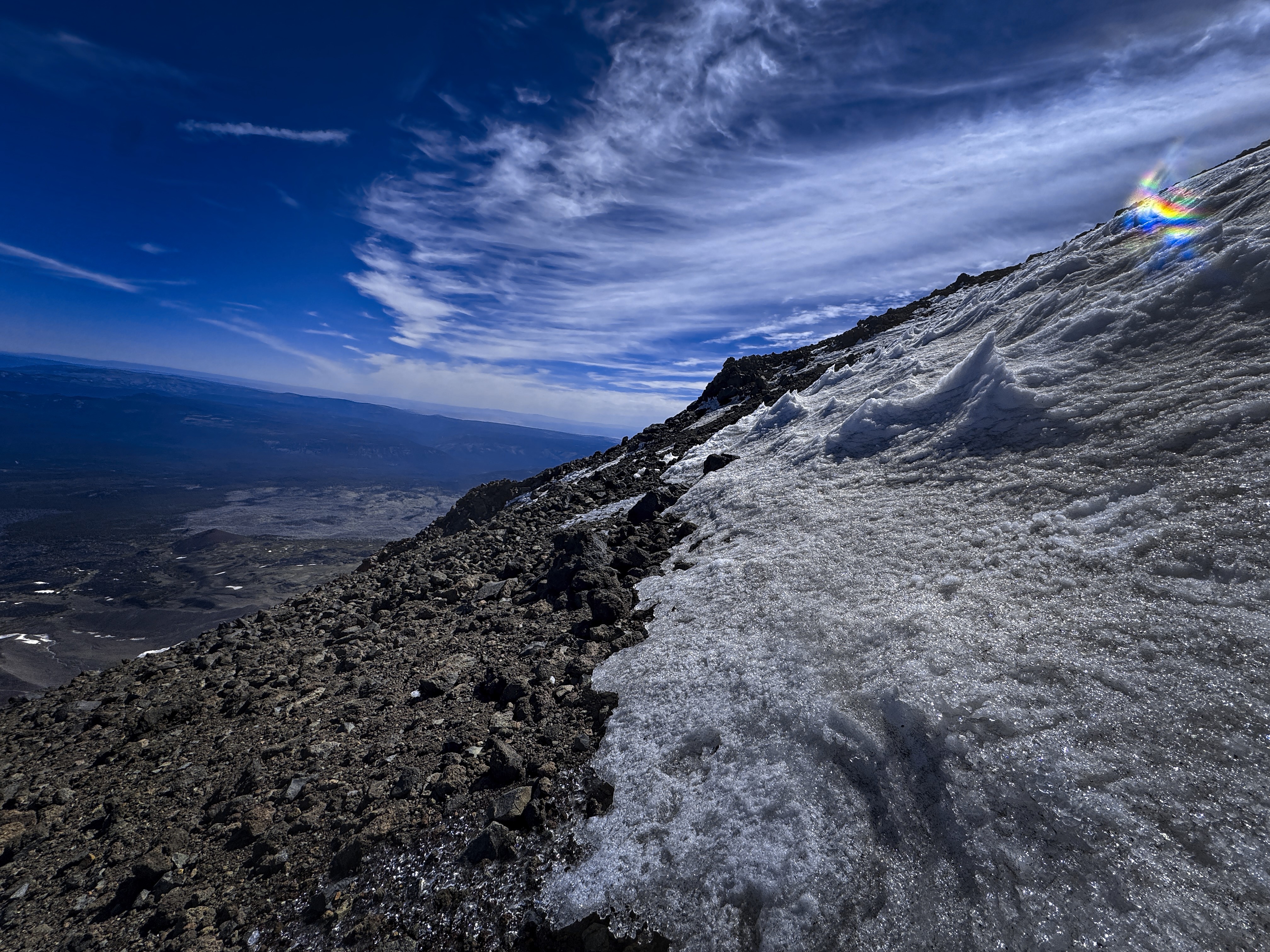
My view from this 'selfie-spot'
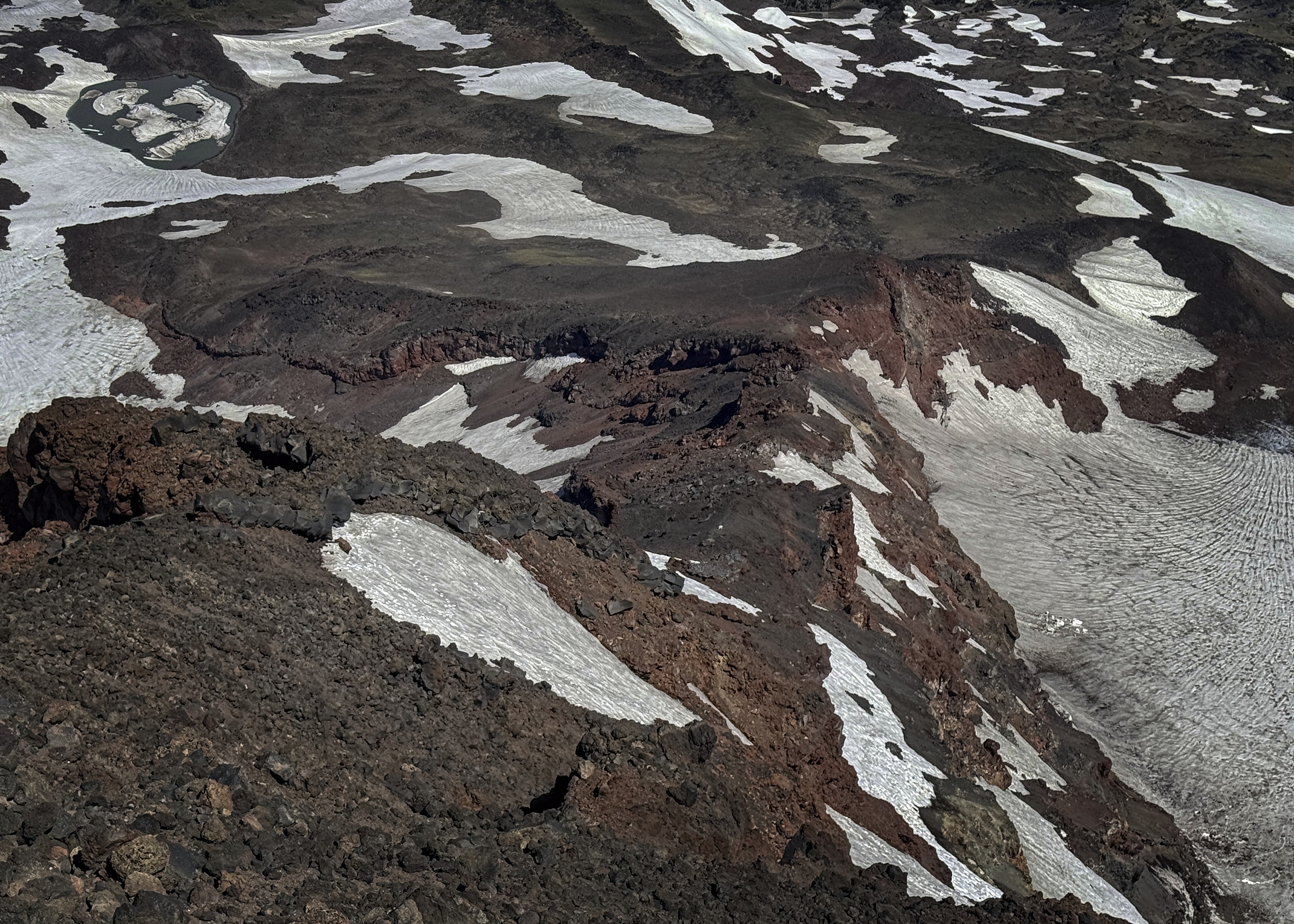
Looking down the ridge. On the way up I spent much time in
snowfields on skier's right. On the way down I stayed on the
ridge proper
Going down was interesting because the summit is so broad. When you find the right way down, it is a little surprising somehow. In my case it was a little pile of rocks that I remembered. I felt better when down on the ridge proper, where I finally got a place out of the wind. Also, the wind was reducing in the afternoon.
There was a fun experience in the lower third, where I went down a section of ridge that I hadn't been on before, but I saw that it ended in a shattered chaos in a kind of hole on the ridge overhung by stacked dinner plates. I picked a place to rejoin the crest and check the other side, then did a few climbing moves to peek over, and...the other side was perfect, precisely here! These are the subtle joys to be found in a blasted landscape.
Oh, at one point on the way up a cute baby goat and his mother were surprised by me, then they scampered over a cliff to safety.
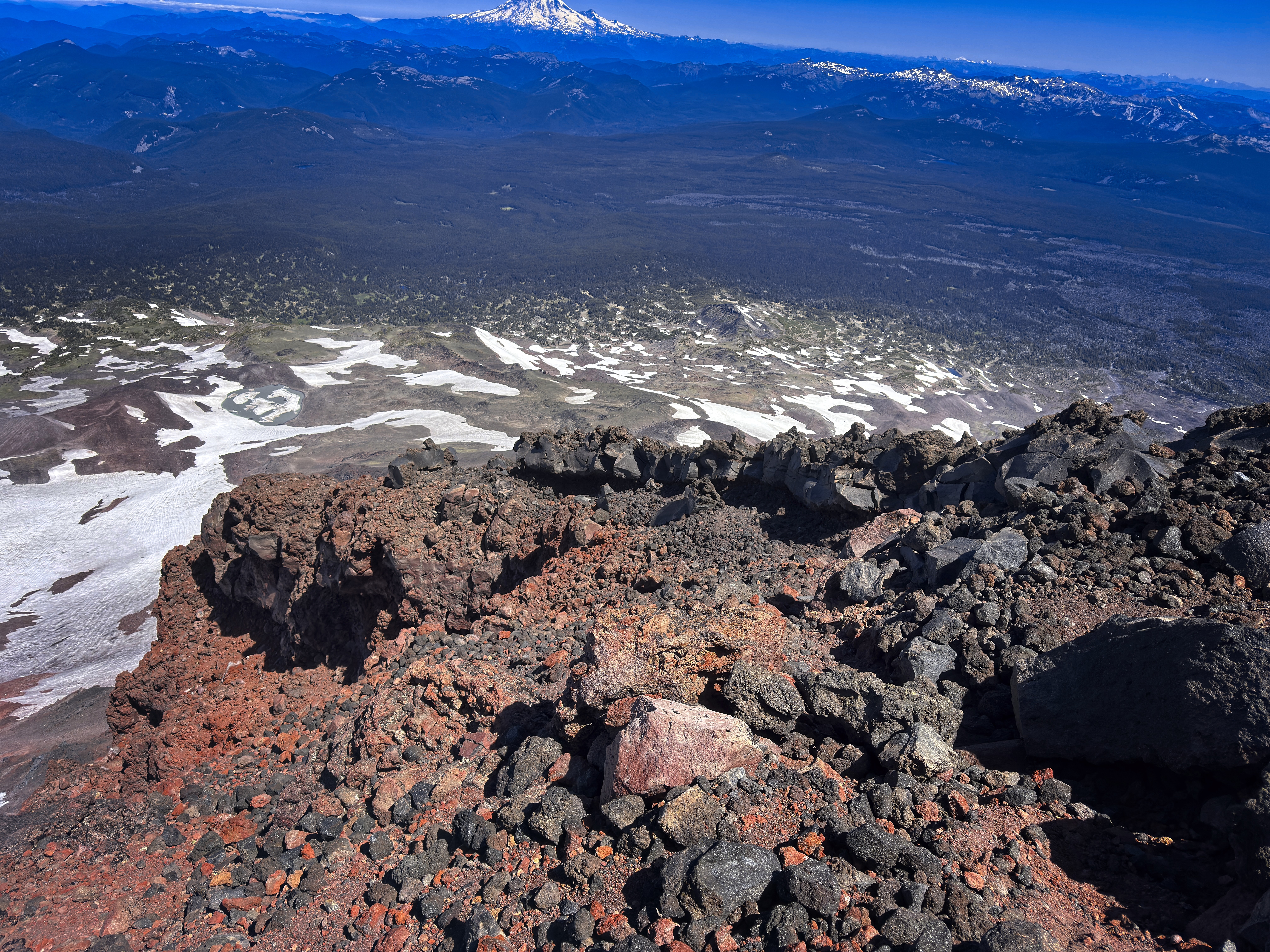
Pictures of rocks lose so much. You really need a 3D function.
This is a neat "ramp" feature above a shattered basin, very
fun to traverse and feels a bit like a secret
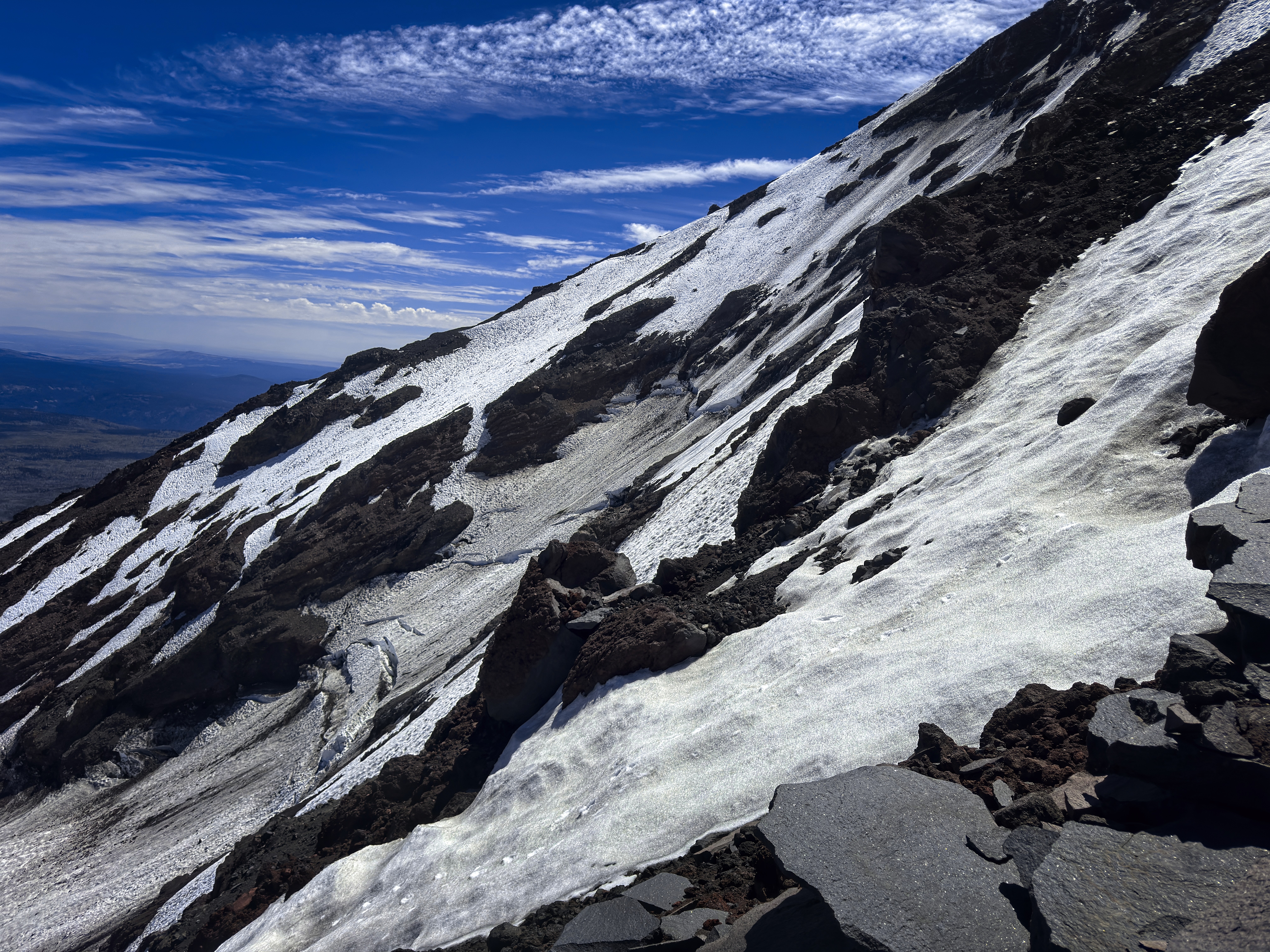
A typical view to the side
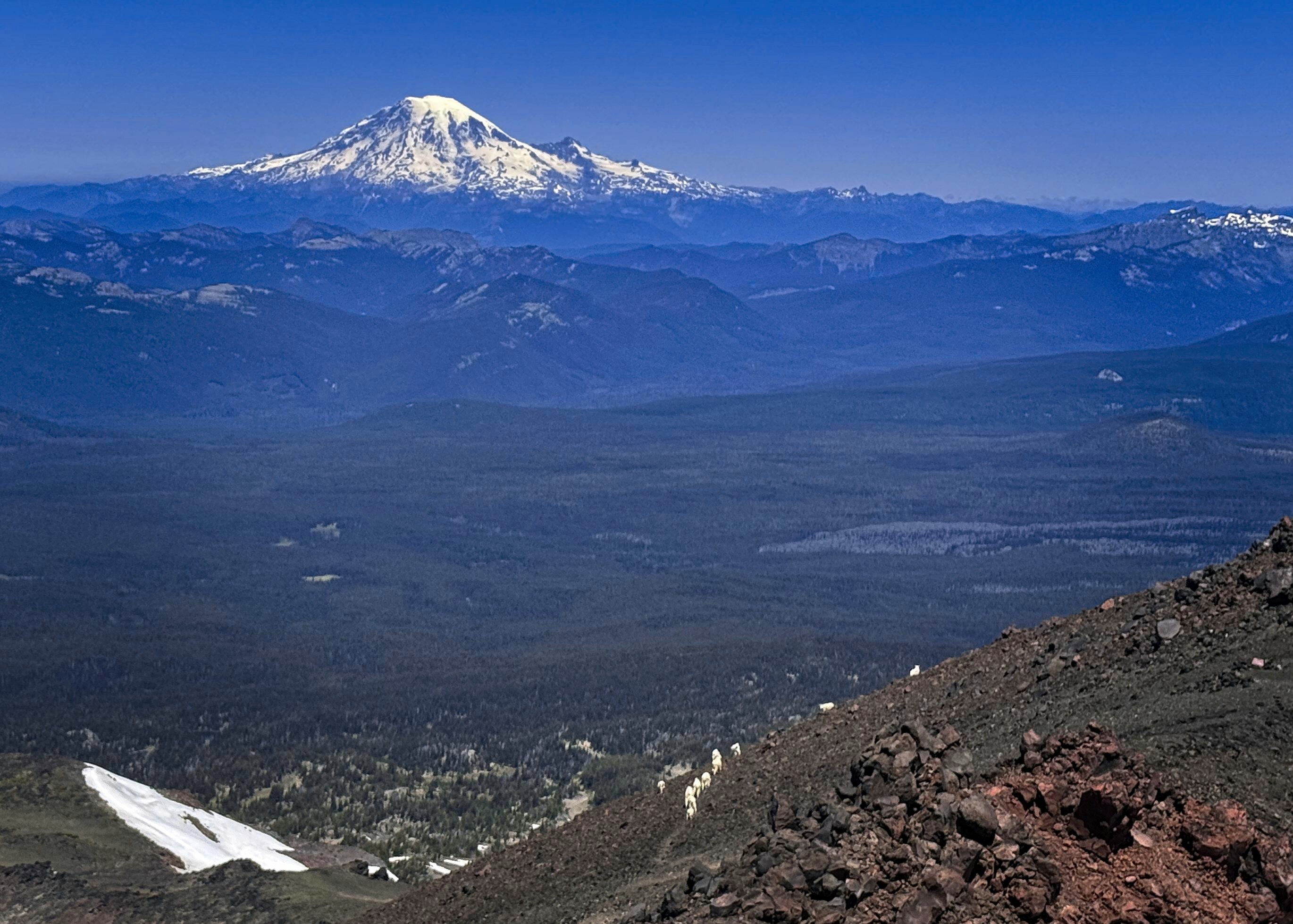
After several goat encounters, including a mother and baby
close up, it seems all the goats decided to abandon the landscape due to my noisy presence
I reached the trail leading off the crest to see a whole herd of goats passing away to the north, like a migration.
Tiredly down to the lake, where I sat in a stupor, eating and drinking my last water. The tents were gone.
I should have gotten water here, but I thought either there must be a stream lower that I forgot about, or I'd hurry out to the car. I had one more adventure, however.
I got down to the point where I thought my tent was and... I couldn't find it! Okay. I checked lower. Then higher again. Then dropped my pack and checked even lower. Argh!
Finally I thought I'd have to abandon it due to time constraints.
But I'll check one more thing. I went up to a good ways above where I thought the tent was.
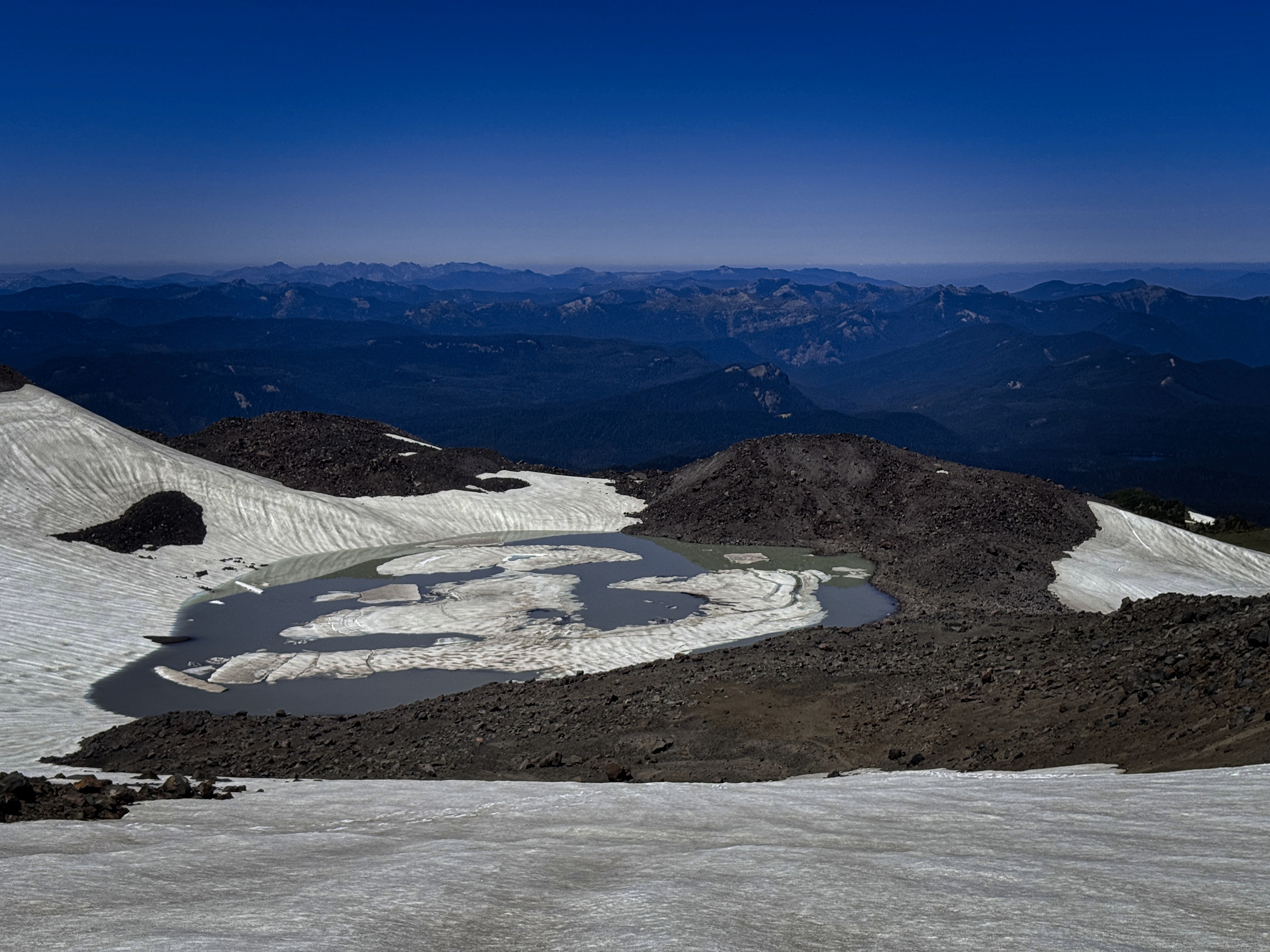
The lake at High Camp
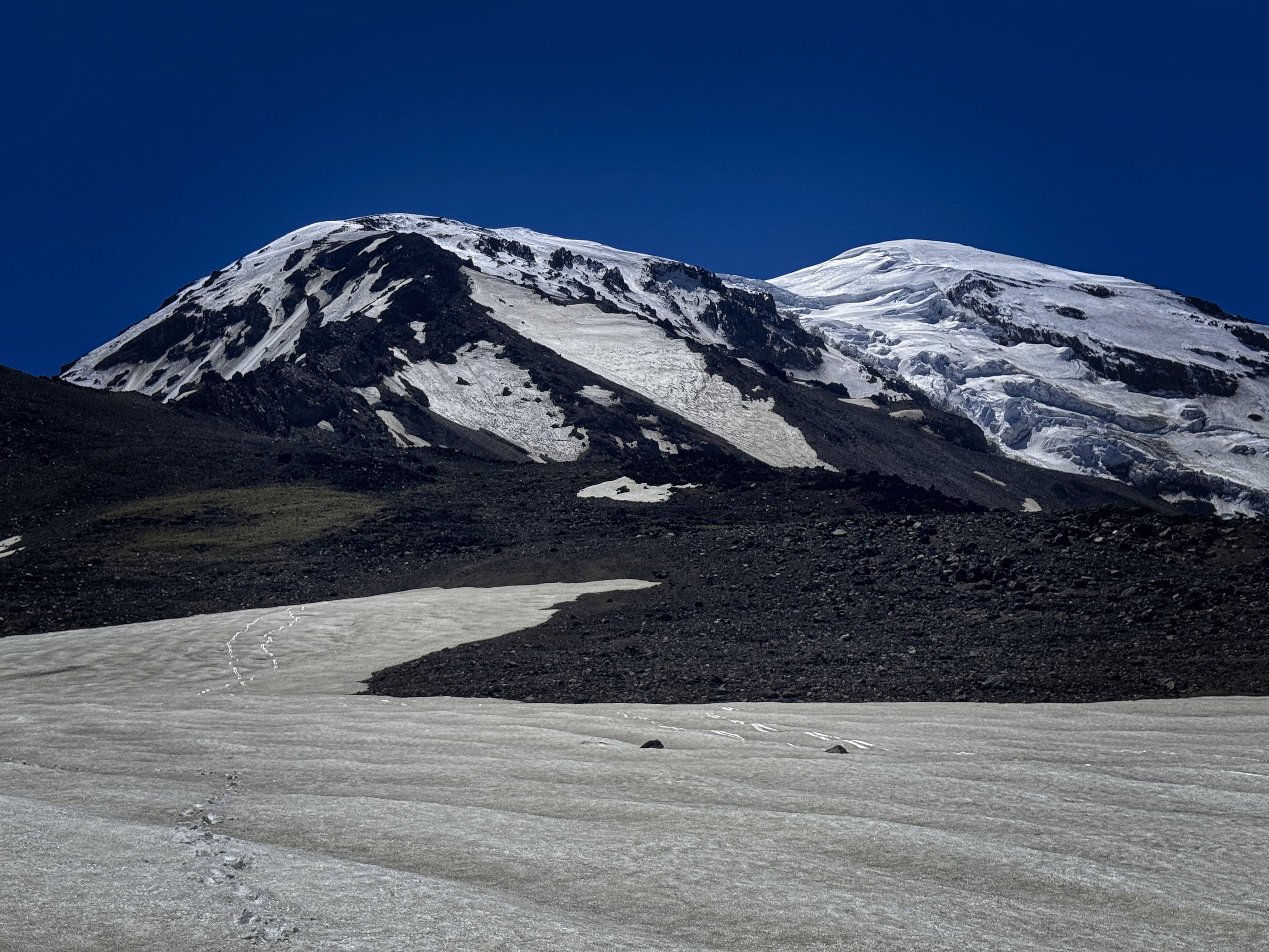
Looking back on the approach slopes
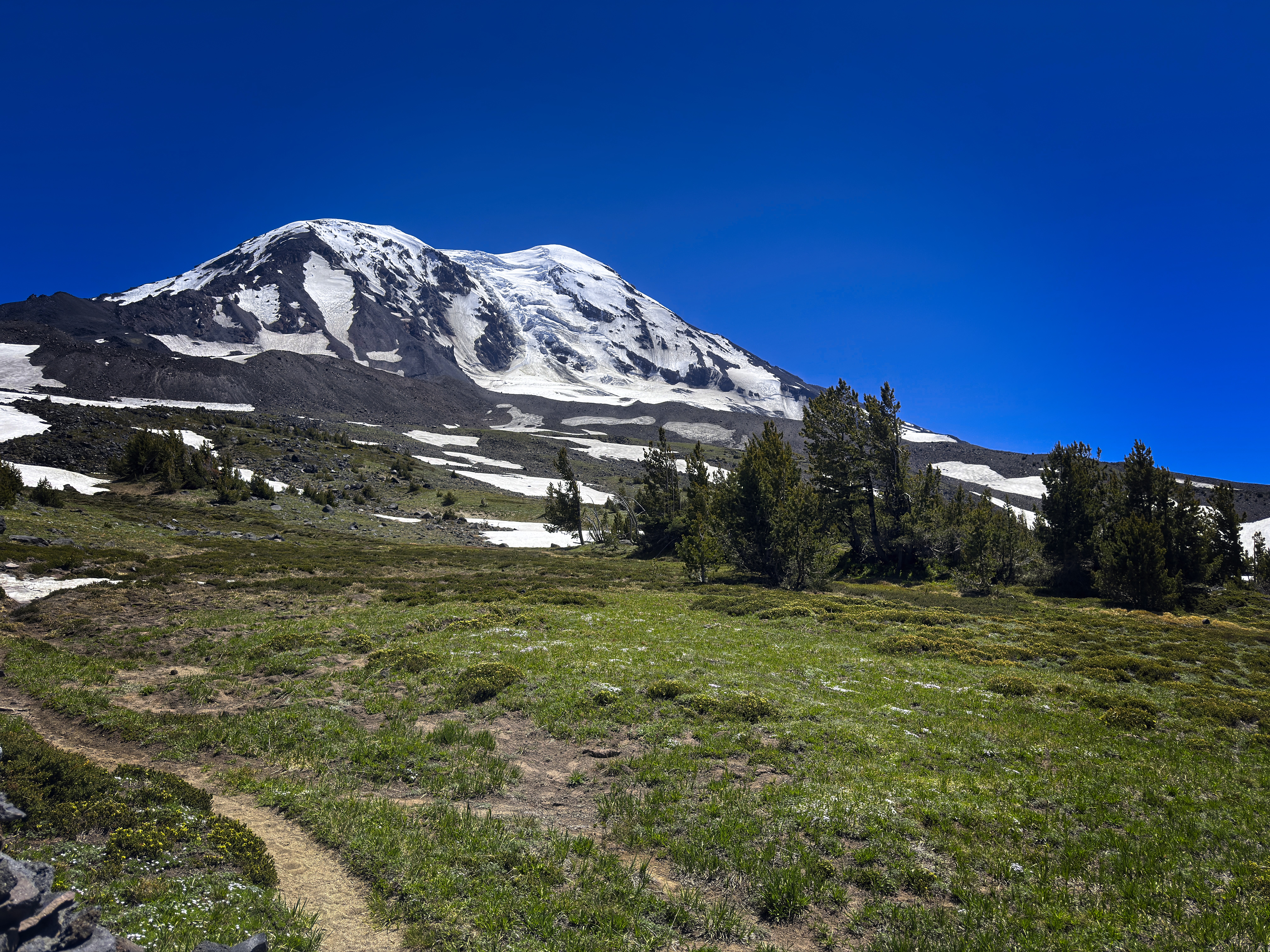
Pahto recedes, for now
And there it was.
Groaning, I crawled inside to the fury of about 50 mosquitoes who wanted access to me. Thirsty, hot, tired...but a few minutes rest helped. That failure to mark my tent site on the GPS cost me nearly an hour.
I packed up, went down to my pack, loaded up...then found a stream and filled water. In here, I did SOHAM meditation, laughing a little bit that I had to be driven to such an extremity to do what I should be doing all the time!
Down in the forest, I could drink the quart of water in relative peace. The mosquitoes were much more active up in the meadows.
I finally reached the car, much aided by the walking meditation. It really saved me from a lot of mental pain. I zoomed away, to prepare for the next adventure...
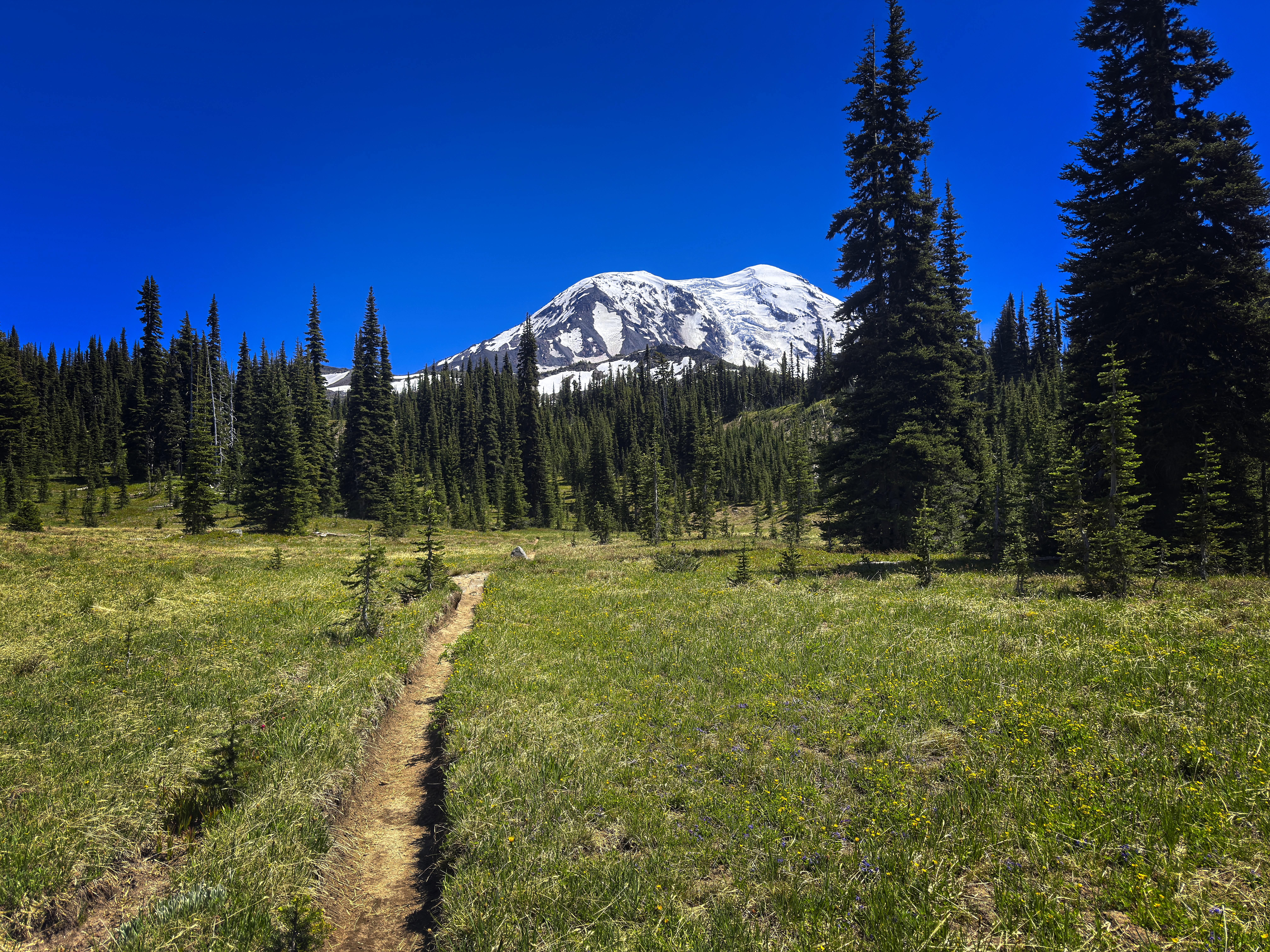
Goodbye!