Diamond Peak
Friends: Only God!Location: Diamond Peak
Elevation gain: 1670m = 1670m
I was a bit casual about the road navigation to the trailhead, and ended up beyond signal range and a bit mystified on how to get there! First mistake, let Google plot the route to the trailhead, which means coming up against gates and private property. Then I followed my nose closer to the mountain. I had to turn right and go up a hill out of the Pass Creek valley, but there was a gate across the road. It didn't occur to me that I was allowed to open and close it! Also, it looked a bit tough for the Subaru right at the start, though it may have worked.
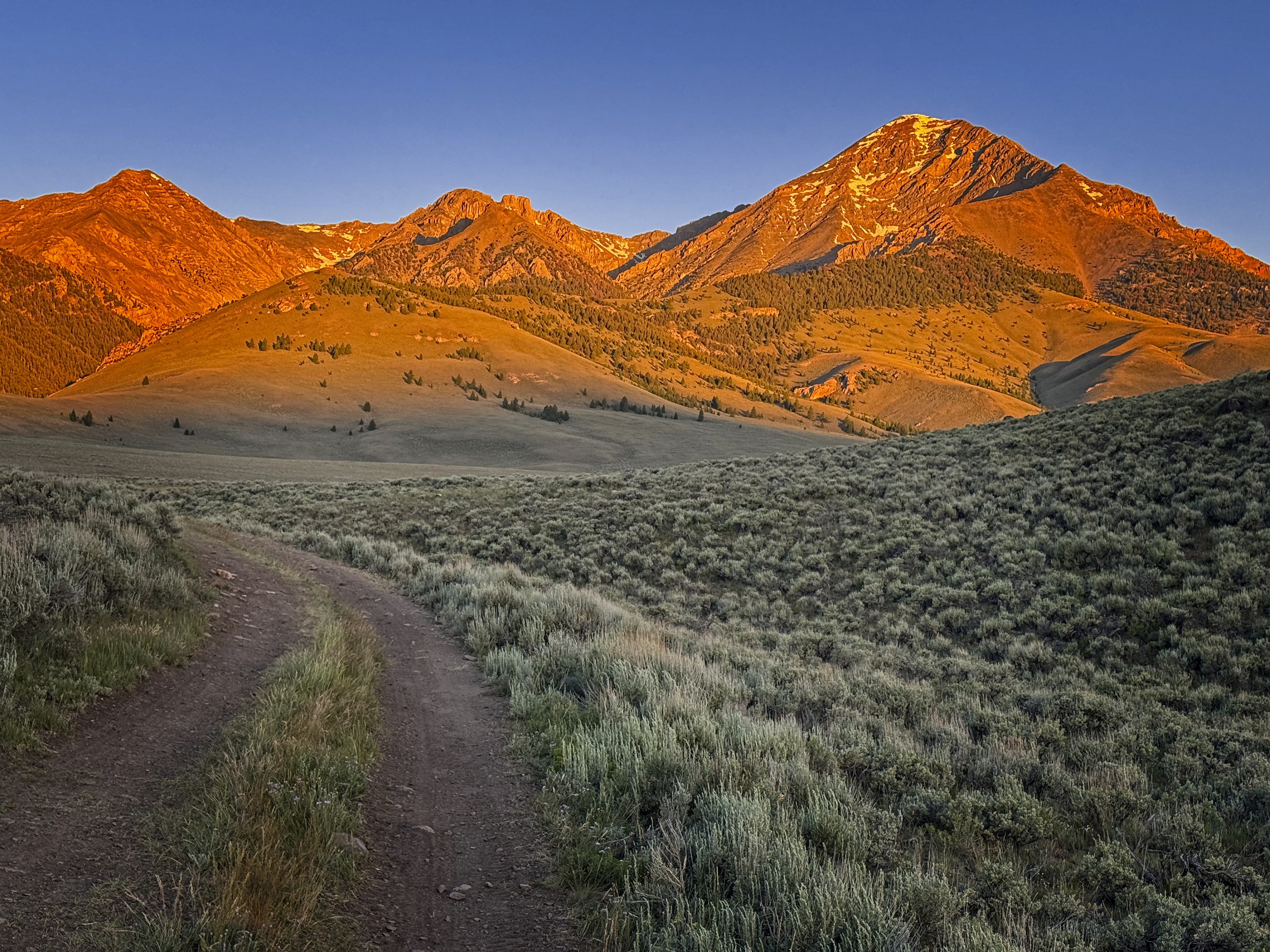
Diamond in the dawn
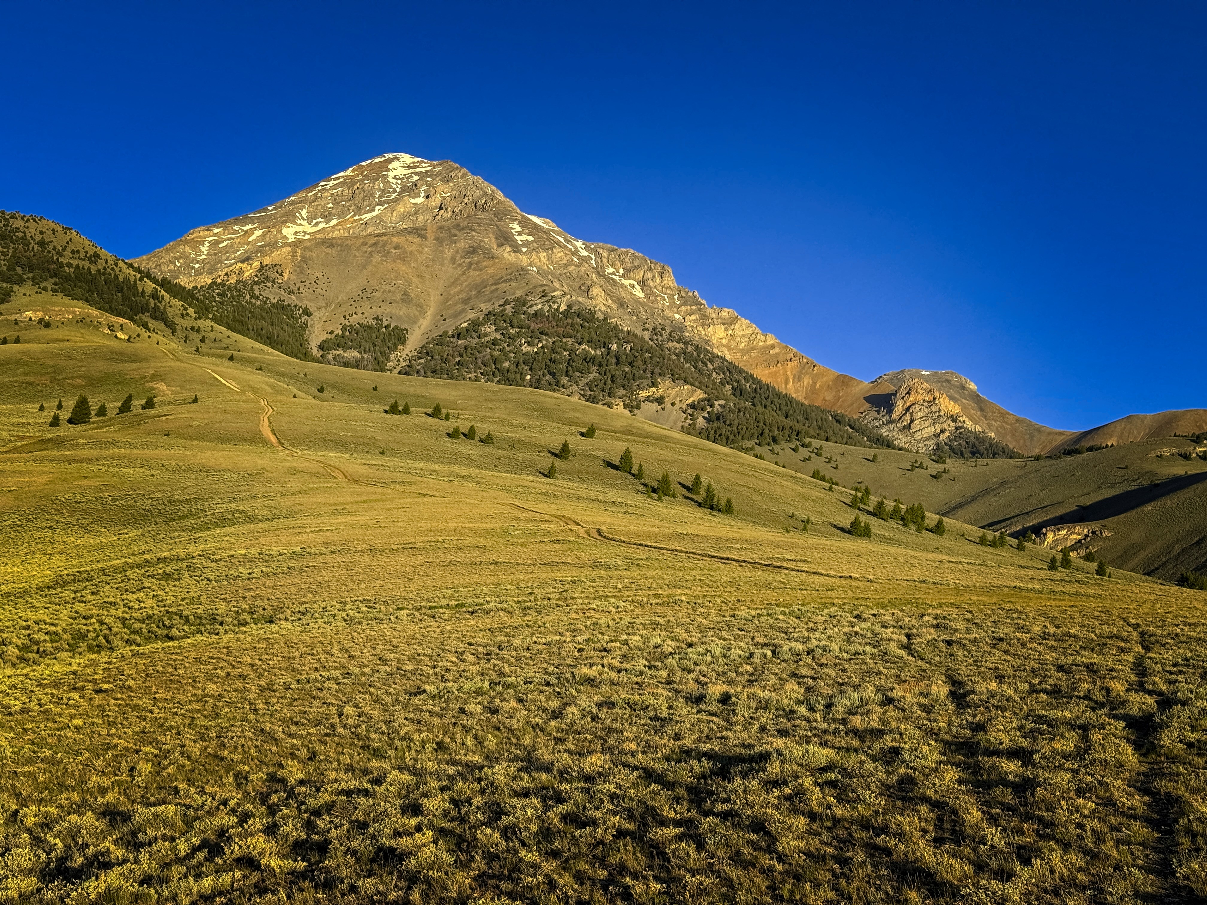
Now in yellow light as I get closer
So I decided to park at the Pass Creek Motorized Trailhead another couple of miles up the road. I should be able to go cross-country and meet up with the road to the true trailhead. It would add about 1000 feet and 3.5 miles to the approach, but I can afford that.
I slept at the trailhead peacefully, then started up the next morning after some instant coffee and oatmeal. The wind was cold! Finally I reached the "true" trailhead, kind of a wide spot in a road that arrows straight up a ridge. Eventually, I was on a trail, side-hilling and ascending the north slope of a spur ridge coming down from the summit. I reached a pass, then things got really steep and austere on a moon-crater slope with the last of the trees. Above that, I was in alpine country of rock and snow patches. At about 10,800 feet, the ridge becomes quite defined and an enjoyable scramble follows the rest of the way to the top. I could usually bypass steep cliffs on the right. Once I went on the left, and once or twice I ascended steeper rock directly. There are many options, and I found the steeper rock to be quite solid. Bell Mountain to the northwest looked spectacular from my ridge.
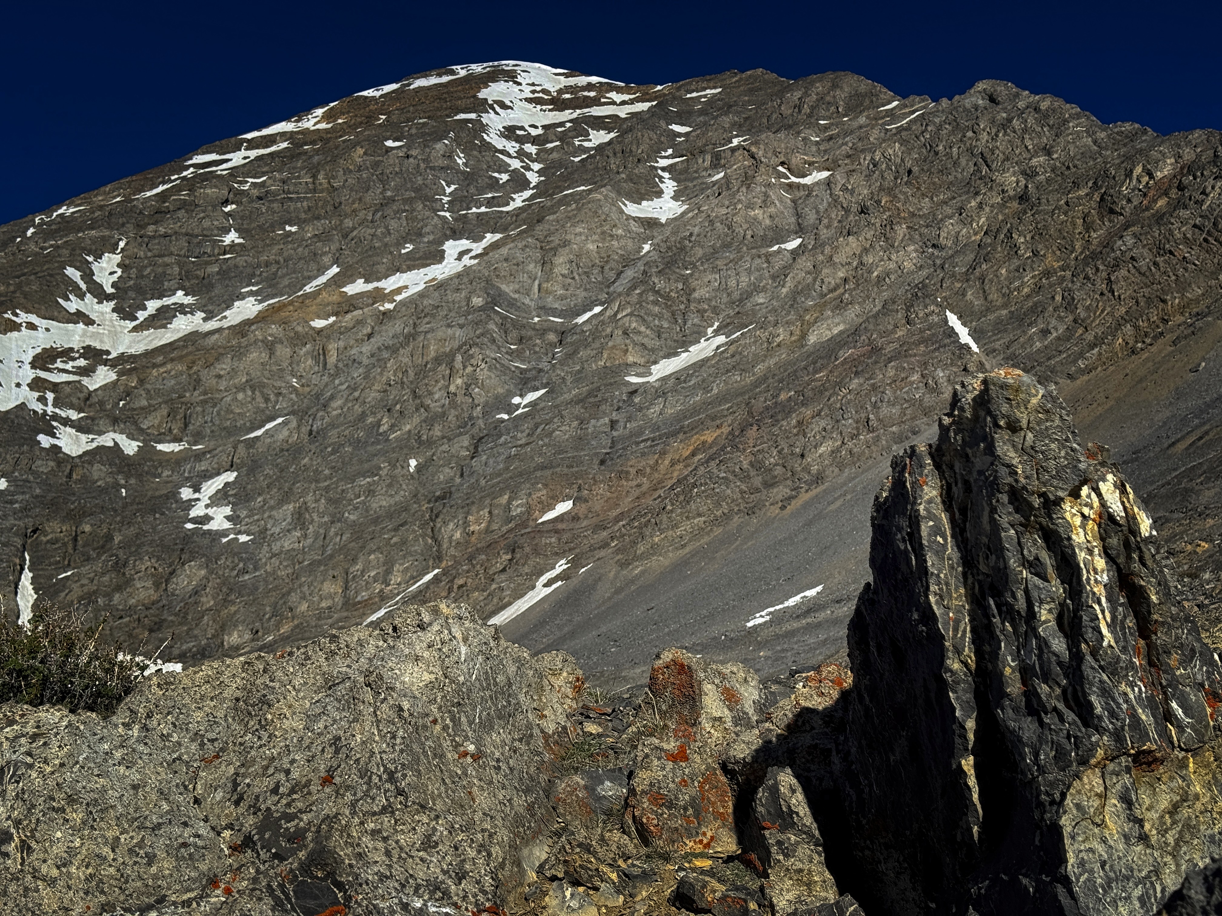
Looking up to the imposing summit massif
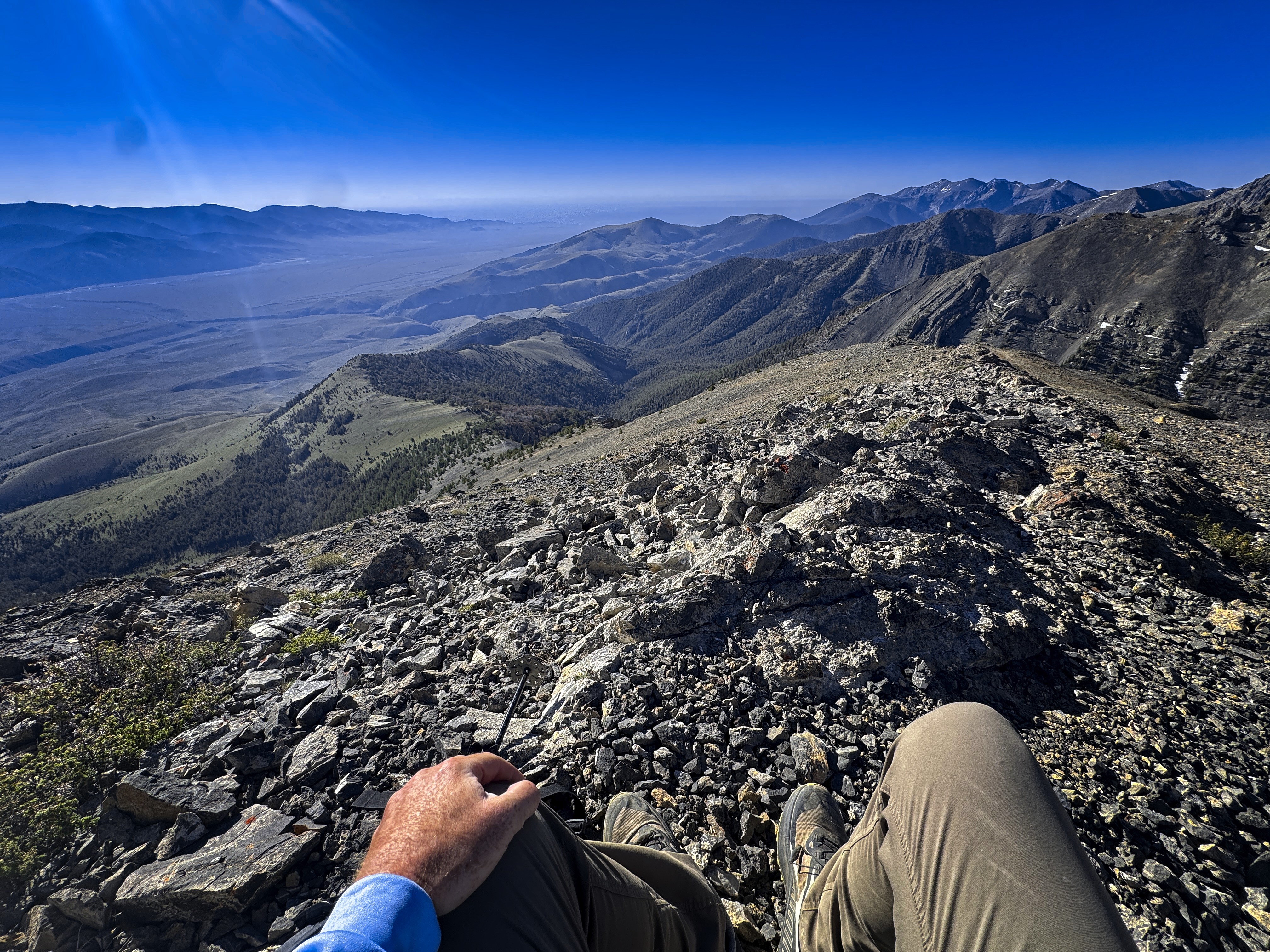
Having a rest break and snack above the steep moon landscape

Bell Mountain in the distance...
Soon I was on top. I found the beautiful wooden sign that decorates all the 12ers in Idaho. Also an American flag. Neat! I took a picture of that.
I hung out a while, then headed down, occasionally going a different way. Often I would miss the "ridge bypass" route I'd come up and end up on a steeper ridge crest. I'd either go back a bit to find it or just climb down the steeper rock.
Here the ridge is defined
A tantalizing look north from the top
Old glory! I'm proud of this flag
Back down on the valley floor it was hot n' dusty. I came over a rise to see my car in its little valley, then drove home. Saw no one on this fine day.
5480 feet up and down.
A scene on the way down looking to peaks to the south