The Moat
Friends: SeanLocation: The Moat
Elevation gain: 1230m = 1230m
This is a climb of "The Moat", also known as Peak 11497
Sean had a peak in mind for Sunday. I'd planned to do nothing because of a poor weather forecast, but it had improved so I was game for a trip. Sean knew the roads from his trip to Massacre Mountain the week before -- they were poor and quite slow to travel! But not impossible.
We bumped along into Long Lost Creek Valley, crossing the stream a few times in his truck. The whole range was coated with a thin, fresh layer of snow. We hiked in with temps in the high 20s.
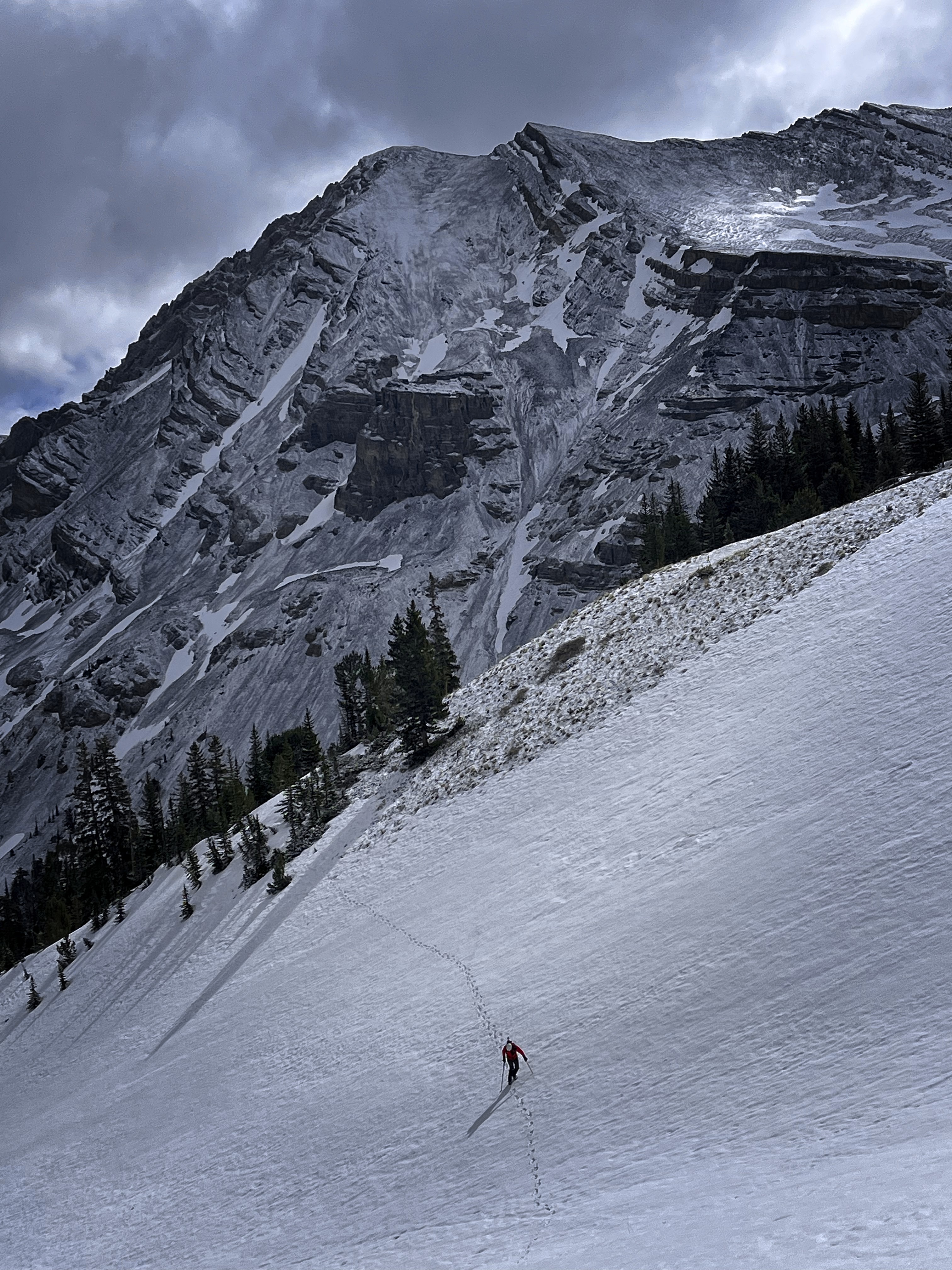
Michael leaving the forested rib for the central gully

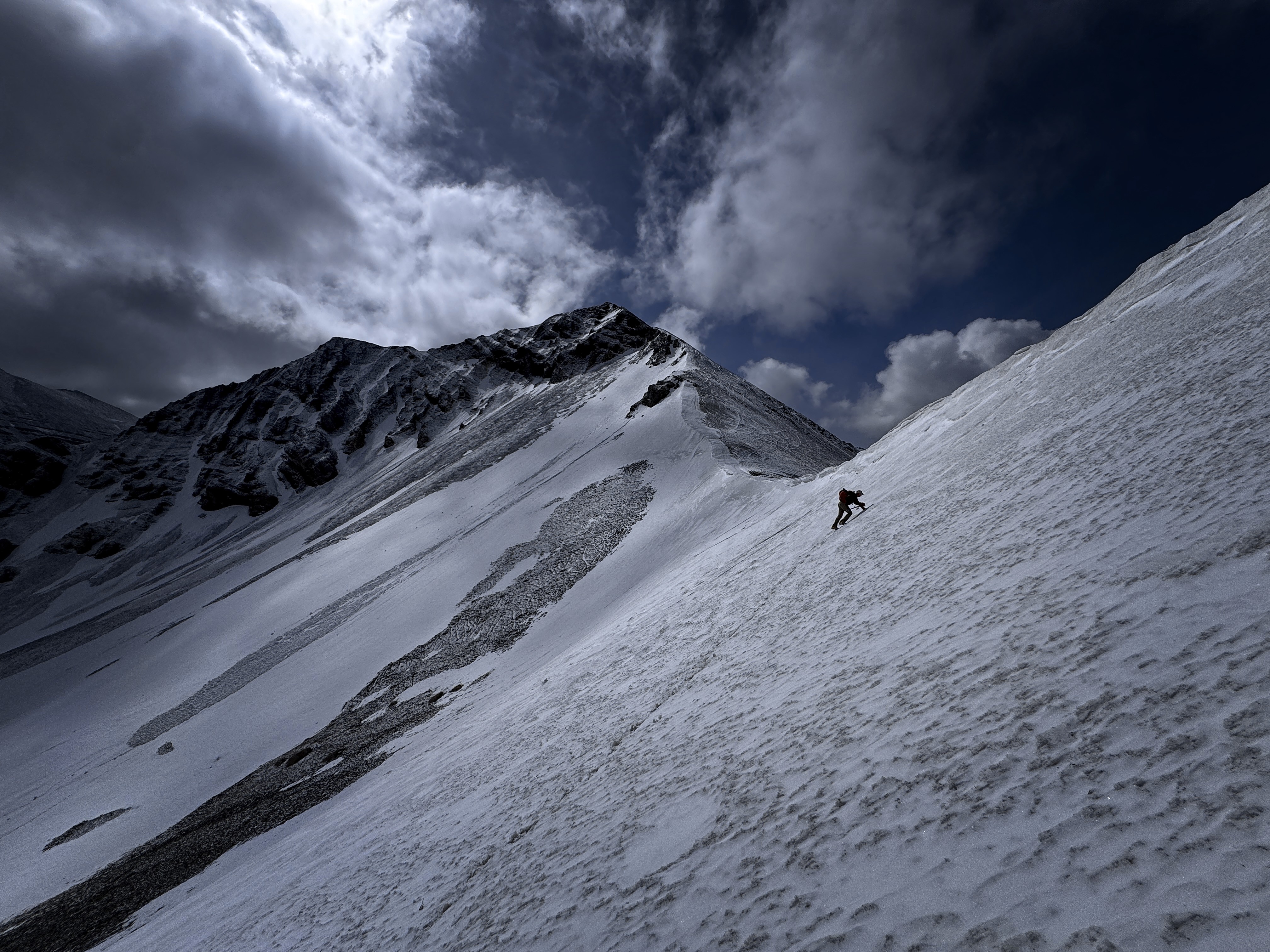
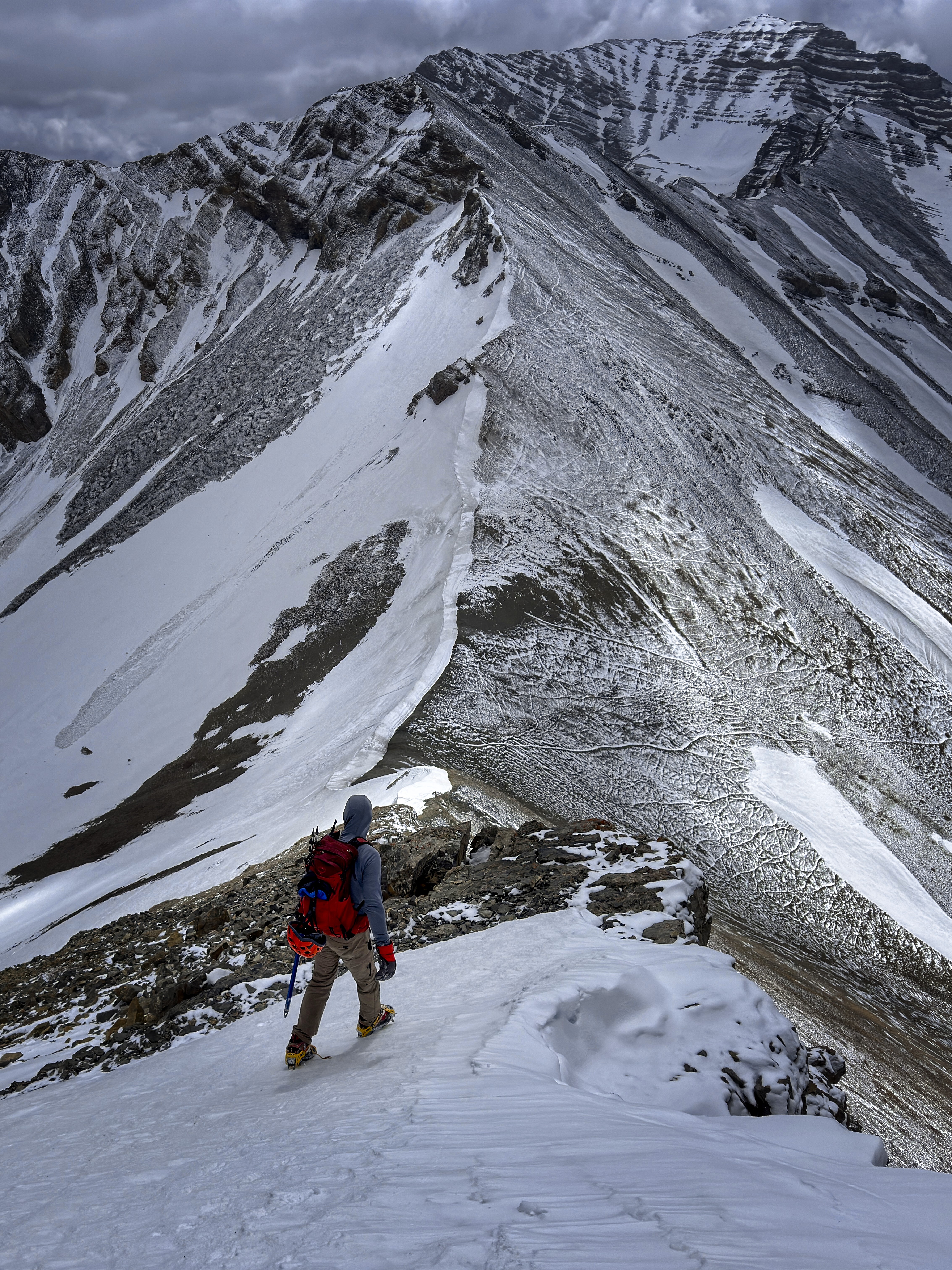
Michael approaching the ridge crest
Sean near the crest
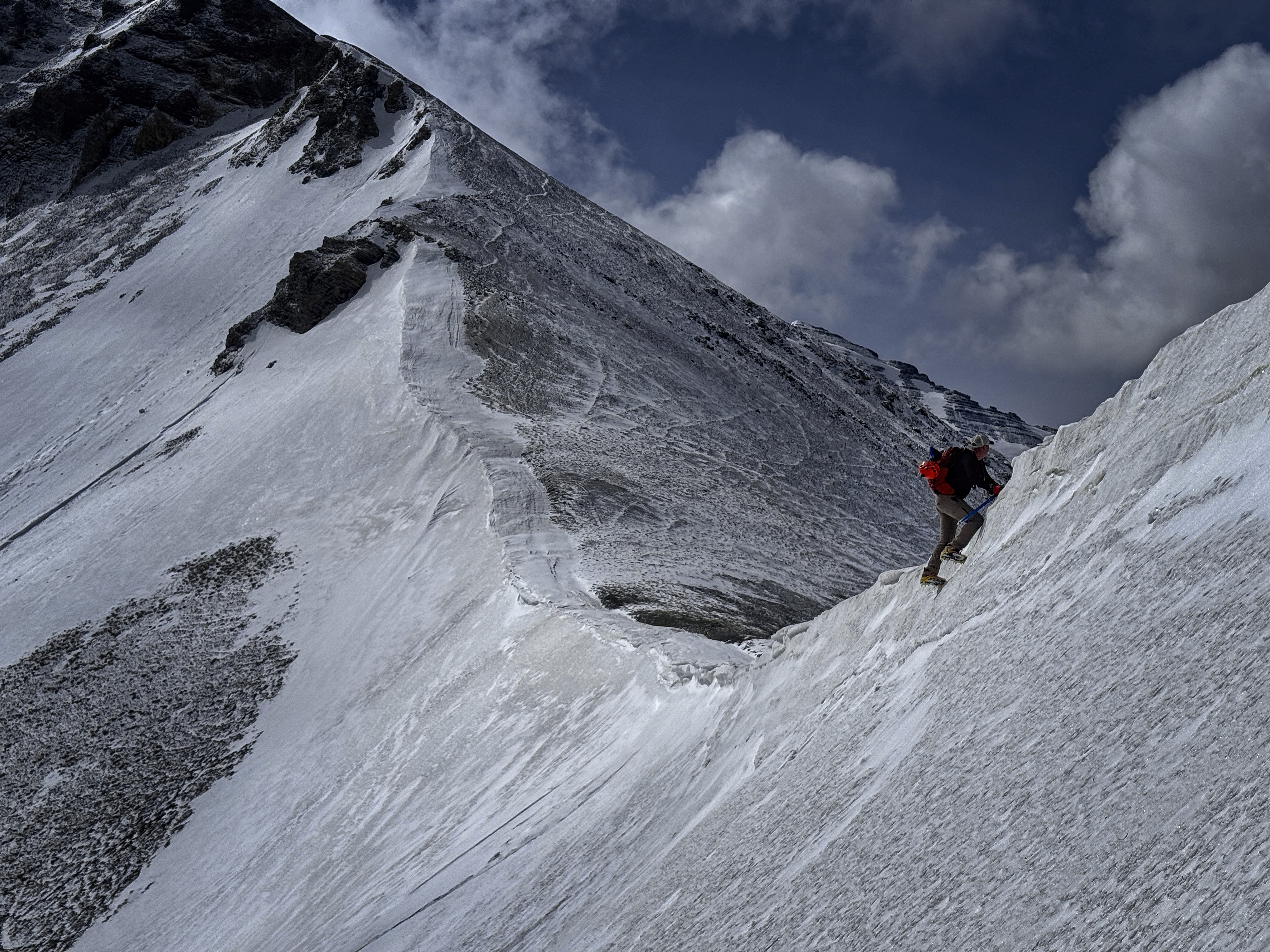
Sean surmounts the crest
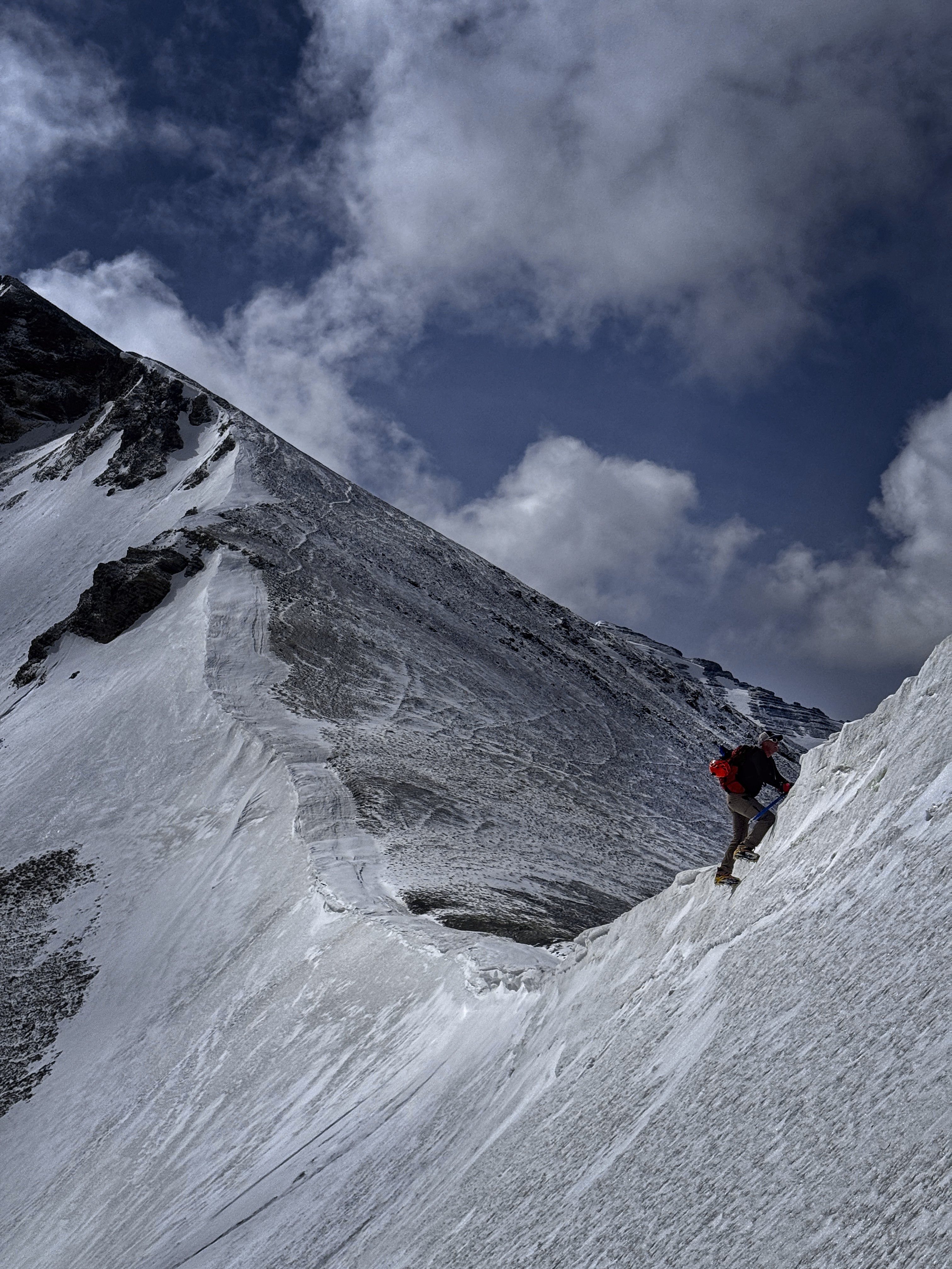
A similar shot
Michael on this photographically interesting slope
I was shocked by how fast Sean travelled in this kind of terrain, and I fell behind dealing with cold fingers and equipment issues. He waited patiently here and there, and as the valley curved to the west, we could see our objective, looking high and snowy far above. At about 8800 feet, we entered a forested rib, aiming for a gully clear of timber off to our left. But the timber was good for travel, and we eventually found a well-beaten-in track that probably saved time. We followed the crest of the rib, eventually wanting crampons to side-hill and enter the main gully on our right which would lead us easily to the pass between the Moat and Castle Peak to the south. Here, Sean saw two bears high above moving fast to gain the pass. As I watched, they surmounted the pass and hived off, presumably to less crowded valleys on the west side of the crest of the range. We never intersected the bear tracks, so we wondered if it had been an illusion, but I guess those tracks were more often in the scree off to the side. I imagine bears prefer that terrain to cold, solid snow?
Sean adds a layer against the wind!
Marching along before it gets steep
Looking at the rest of the way
Rounding a tower on snow
Another 30 minutes or so of switchbacking up the hill in crampons got us to the corniced crest. Nice! Here a cold wind from the north and snow flurries greeted us. We started up the Southeast Ridge of our peak, encountering a short 4th class climbing step which was made more entertaining by avoiding putting weight on a suspect block. Probably the most delicate climbing move of the spring, I thought!
The summit is close...
Views back to USGS Mountain
A view back to the truck
Above this in a mix of scree and frozen-snow detours on the left side of the ridge to a false summit and a saddle. We stopped a few minutes here to eat a snack, safely on the lee side of the ridge out of the wind. Then the final walk to the top where we signed in. We knew that some ladies in our climbing group should be approaching the Breitenbach summit about now, though we were sadly blocked from seeing the flower of Idaho womanhood surmounting that peak by the bulk of "Far Away Mountain" (aka Peak 11930). But it was good to know we had company on this day. The whole range had a wintry look. USGS Mountain looked amazing to the south. And the bulky ridge crest of Shadow Lake Peak and friends looked austere and stormy with the fresh snow.
I joked (deadpan) that I'd be happy with hanging out on the summit for a mere "30 to 40 minutes," and laughed internally as Sean's face froze in dismay. Truly, 30 seconds up there without warm clothes would have you pining for a sauna! The wind whipped at us from the northeast as Sean scribbled our names with an exposed hand. I was unwilling to remove my glove! As Sean tried to form the words that would extract him from the implied promise to sit with me for that eternity, I let him know I was joking -- let's go down now! Haha...
Axes and USGS
Sean with register book
Two relieved climbers stomped down, pretty quickly to the saddle, then along the side of the false summit. Below this we reached the climbing move. Sean seemed to levitate over it, and got so far ahead that I wouldn't see him again until he sat comfortably on a snow perch, crampons removed, ready to glissade at least 1000 feet down from the pass. He could report that, indeed, the feared block was loose, but through a series of dynamic athletic moves, he was able to jump, swing and rebalance, landing firmly in be-cramponed feet below the rock step. Okay, I'm impressed!
I filmed the excellent glissade, then followed in his track, benefitting from the cleared snow in that I could see where he only saw a blinding mass of powder! But I couldn't go as far because my pants have a high friction coefficient. Darn those pants!
Both of us with the book
Michael heading down
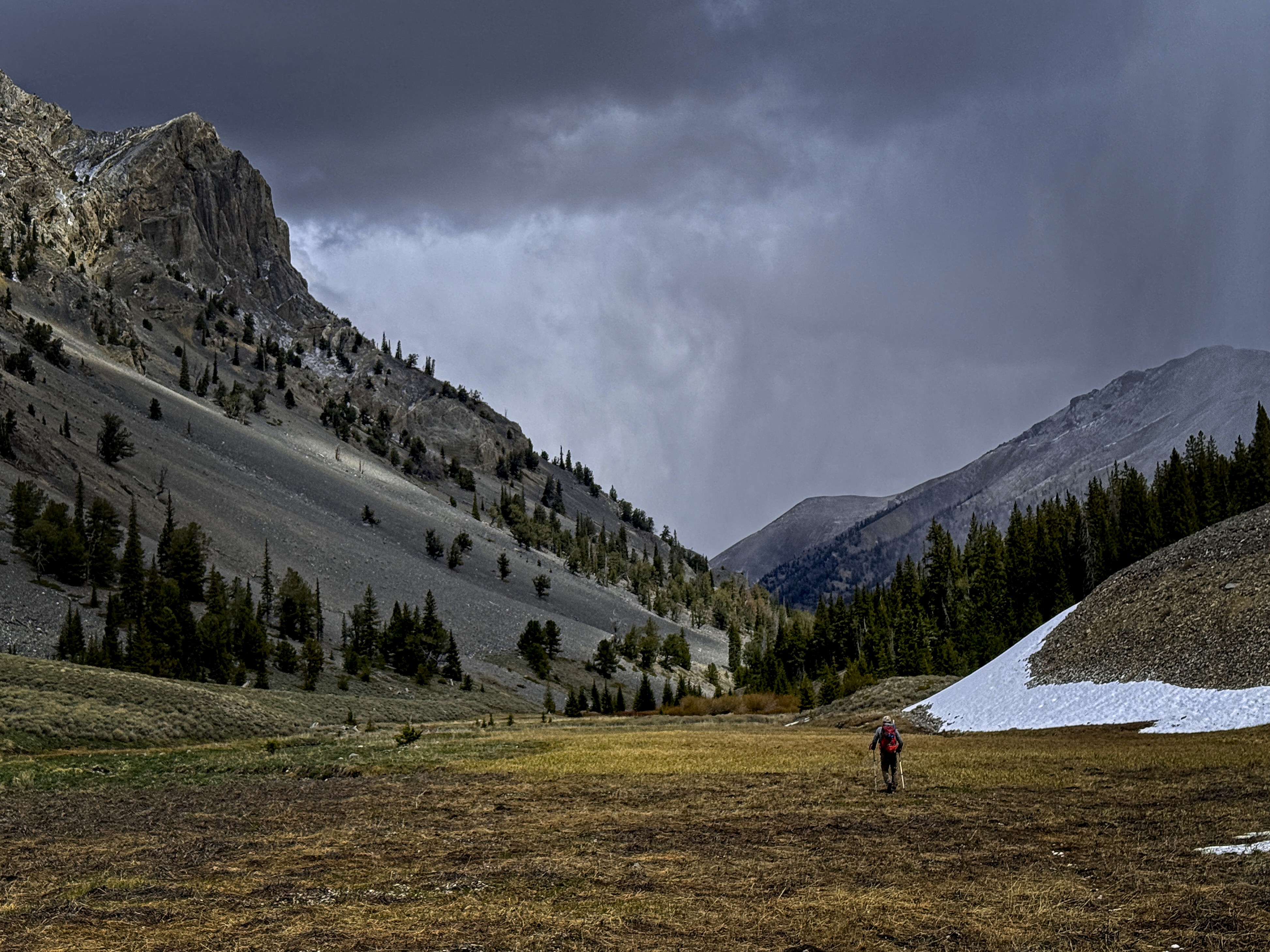
Soon we were moving along the creek bed, then out on the sagebrush meadow. I was really impressed with the scenery here...it just screamed "Rocky Mountains," with a dark snow cloud as backdrop, towers in the foreground, and Sean hiving quickly off through the meadow. I took it easy and enjoyed the scenery the rest of the way down.
Snow had melted, but the truck still had a pile of white underneath it. We bumped down, me somewhat amazed at an entire range of mountains just for us and the bears, and the ladies to our north. Good times, big thanks to Sean!
3300 feet up and down, 8 miles round trip.
Sean, looking for bears
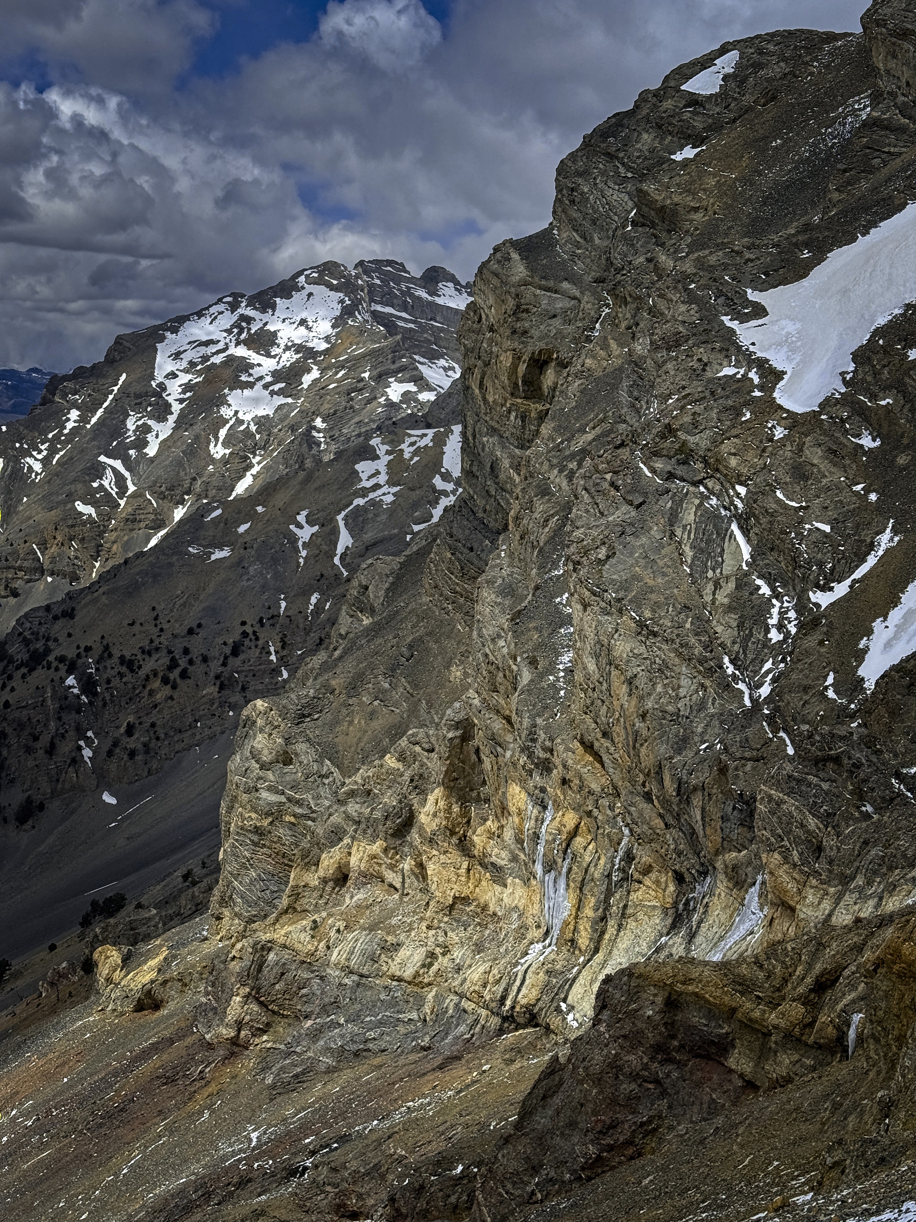
A neat cliff with water ice
Goodbye to the Lost River Range...