Hoher Riffler
Friends: Only God!Location: Hoher Riffler
Elevation gain: 3080m = 2080m + 1000m
This was a really enjoyable weekend. I hiked up from Flirsch, gambling that I wouldn't really have to deal with snow on the North Ridge of the Hoher Riffler. There is a bit of grade III climbing on the ridge, and I was afraid there might be some ice. No worries...it was in good shape for a jogger.
The pictures below aren't in order. I'll just list some impressions I remember a month later.
Steep and quiet, wonderful walk through the forest above town to the Ganatschalpe. They were still sleeping, except for a young man cleaning the stables. He and I were both listening to headphones.
Descending from the Mittagspitze a bit, I started the rock climbing on the ridge. Really fantastic fun. Steeper on the ridge, and when it got to be excessive, I could usually migrate to the right side and follow easier grade II gullies. The crux was fairly distinct...a piton or bolt marked the spot. Not difficult.
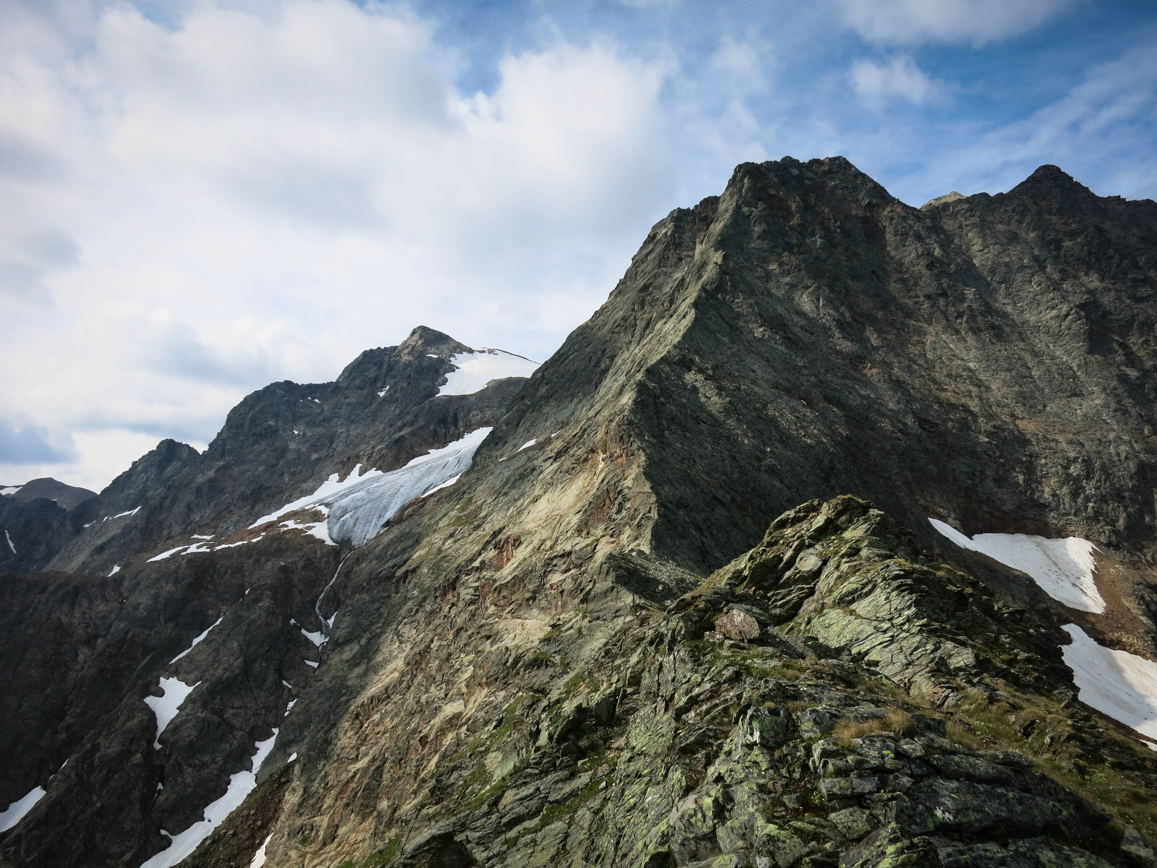
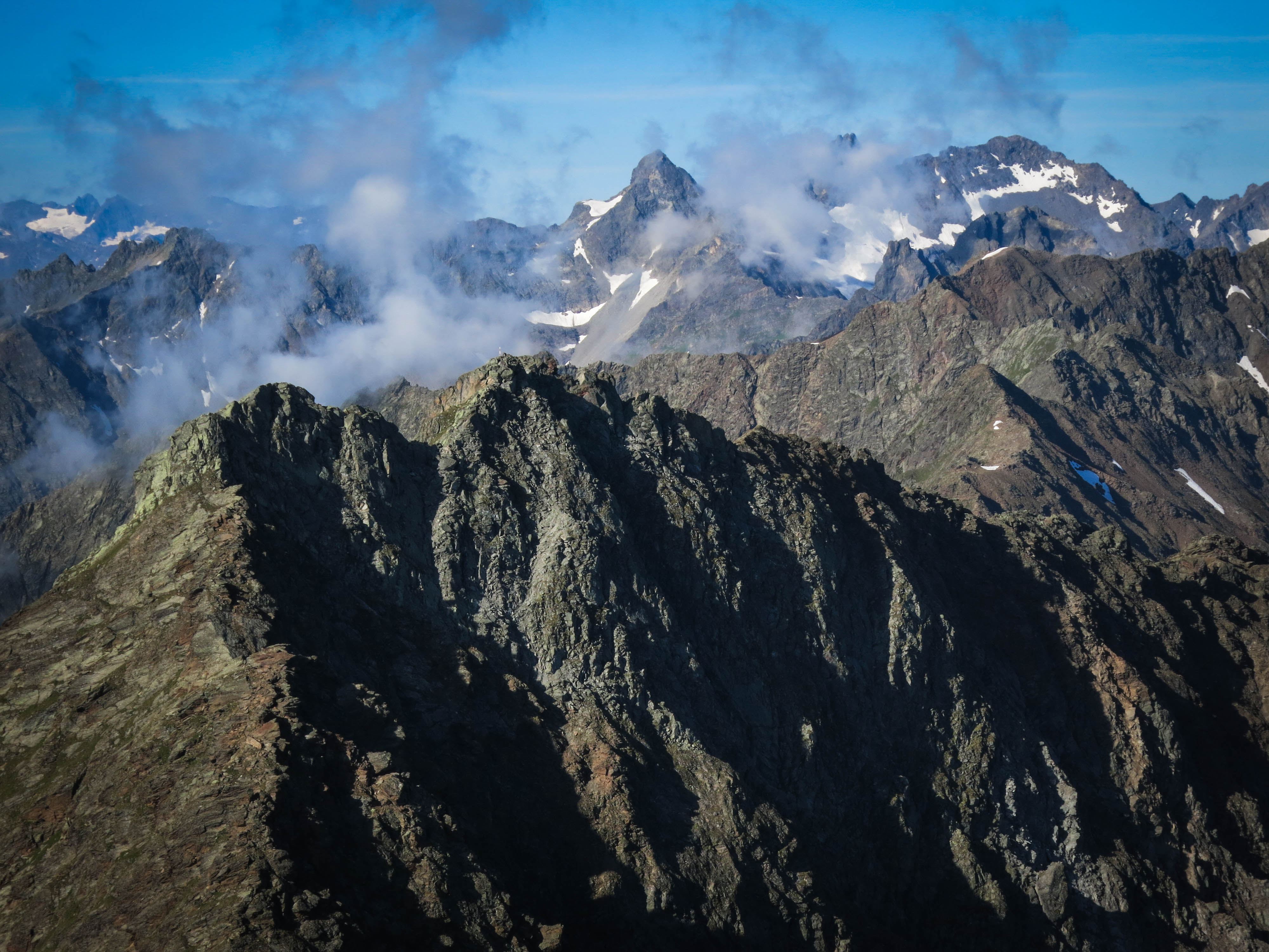
As I crossed the snowfield before the final ridge, the weather deteriorated quite rapidly. Suddenly clouds were everywhere, and then it was a bit of a race for the summit before the rock got too wet in spitting rain and hail. Clouds were skimming through gaps in the ridge. From the point after the summit register, there was a bit of stress. I remember moving as fast as I could with heart pounding, but then remembering that distances are deceptive up here, and I'd have to continue to pace myself.
On the summit I saw people across a little gap, and thought I'd reach them soon. But the descent was tricky...I may have made a wrong turn. I ended up descending a slabby face with climbing at least as hard as the crux of the North Ridge and rather more sustained. Oh well!
Shortly above the hut on the way down, the sun was fully back out again and the day was lovely. The hut was extremely crowded, and I had a rather awkward dinner with some teenagers doing the walk to Meran. Hmm. Not easy to explain a book on Kabbalistic symbolism, or why it's so fascinating. When I go do a trip on my own these days, I enter a rather private world and want to think deeply. I'm probably a bit of a cipher, but I can't be all things to all people, so it's okay.
The next day I was torn about how to get back to the car. It felt sad to just walk down the normal way with such good weather. So I went the opposite direction, climbing an unnamed summit near the Schmalzgrubenscharte, then descending to the meadows above Kappl. I took a strange up and down path towards the north with semi-tragic wrong turns. Finally I gave up in the town of See, as my feet hurt too much to continue walking. I hired a taxi to get me to my car after a pizza.
The first day covered 11 kilometers with an elevation gain/loss of 2086 meters and 800 meters. The second day 24 kilometers with gain/loss of 1100 meters and 2400 meters.
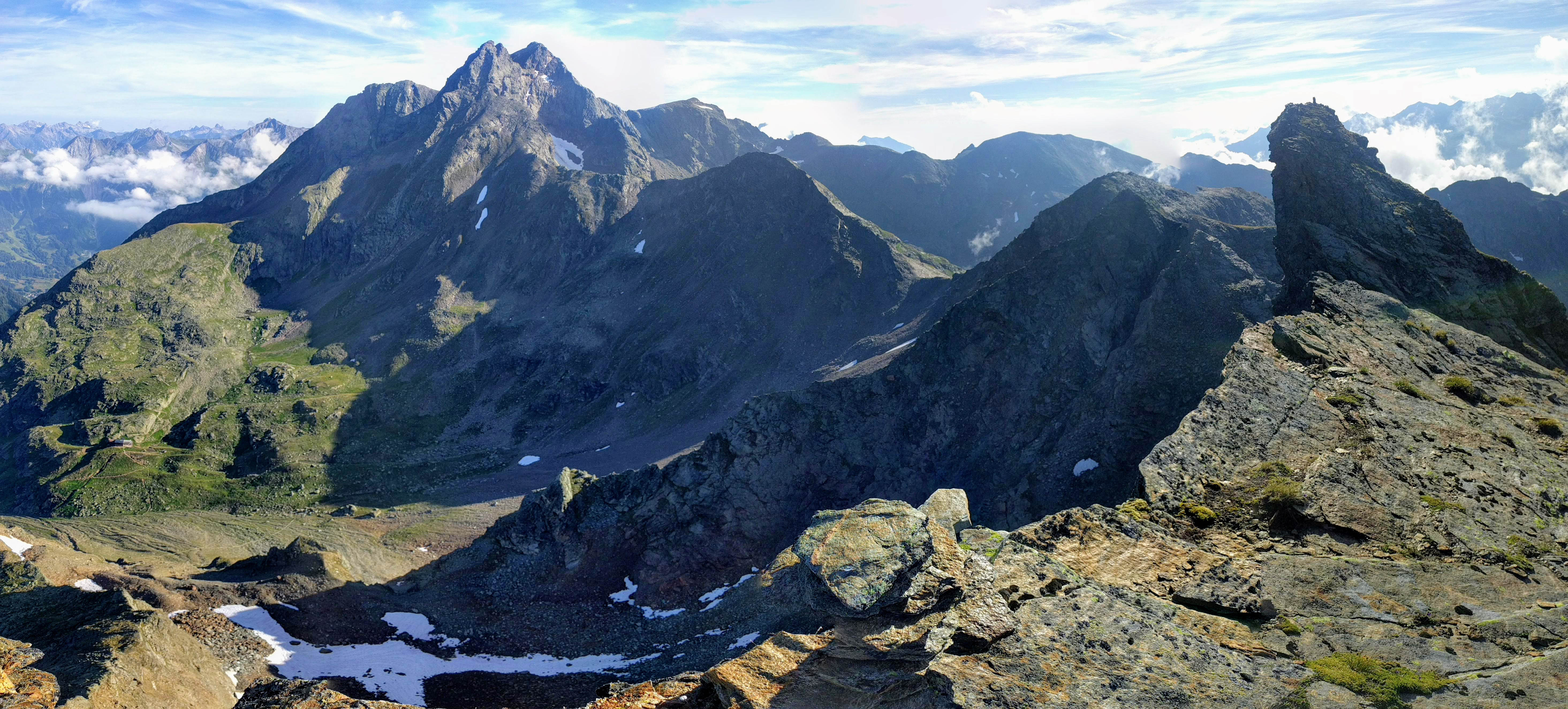
Note the Hut below, as well.
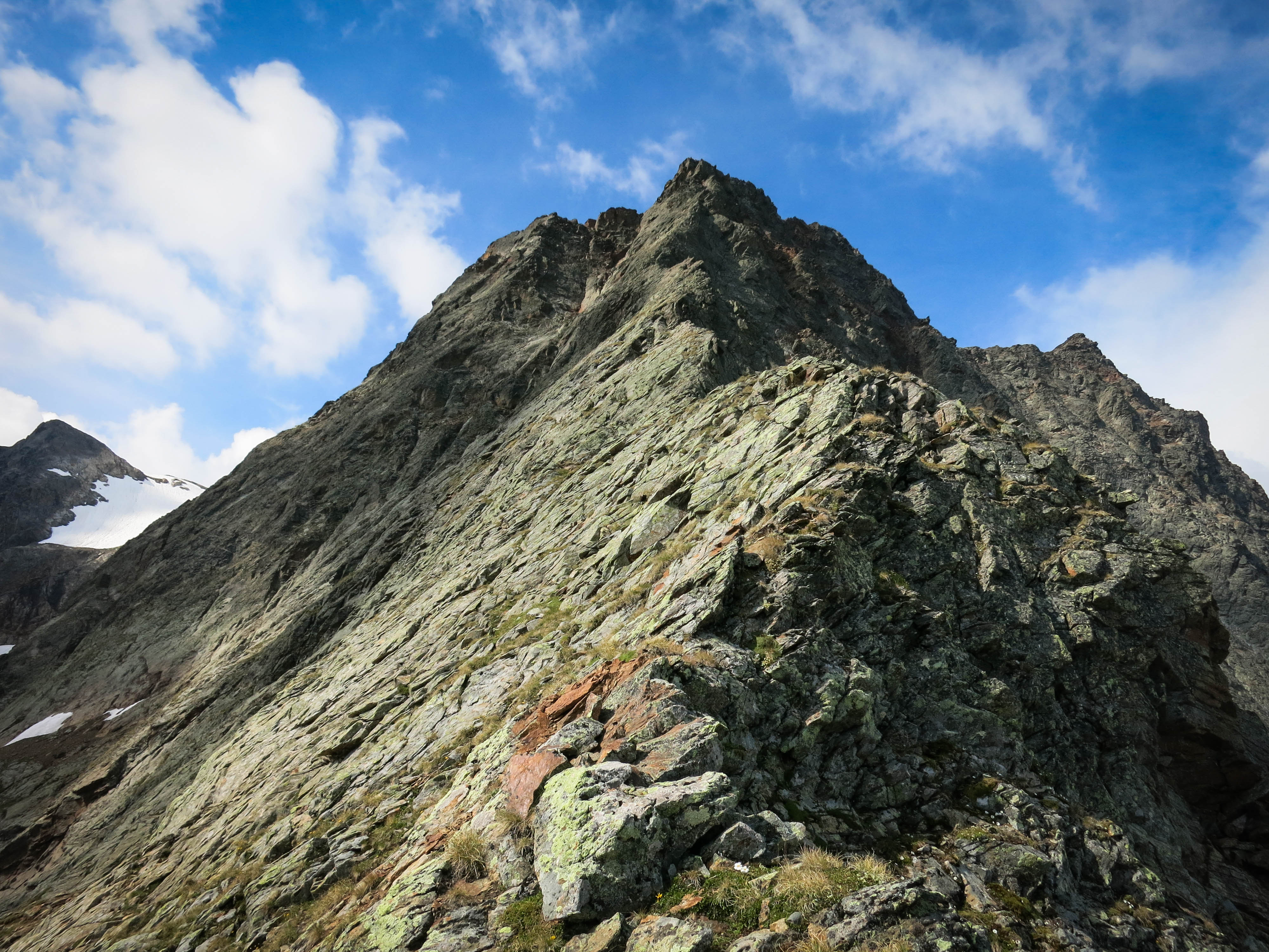
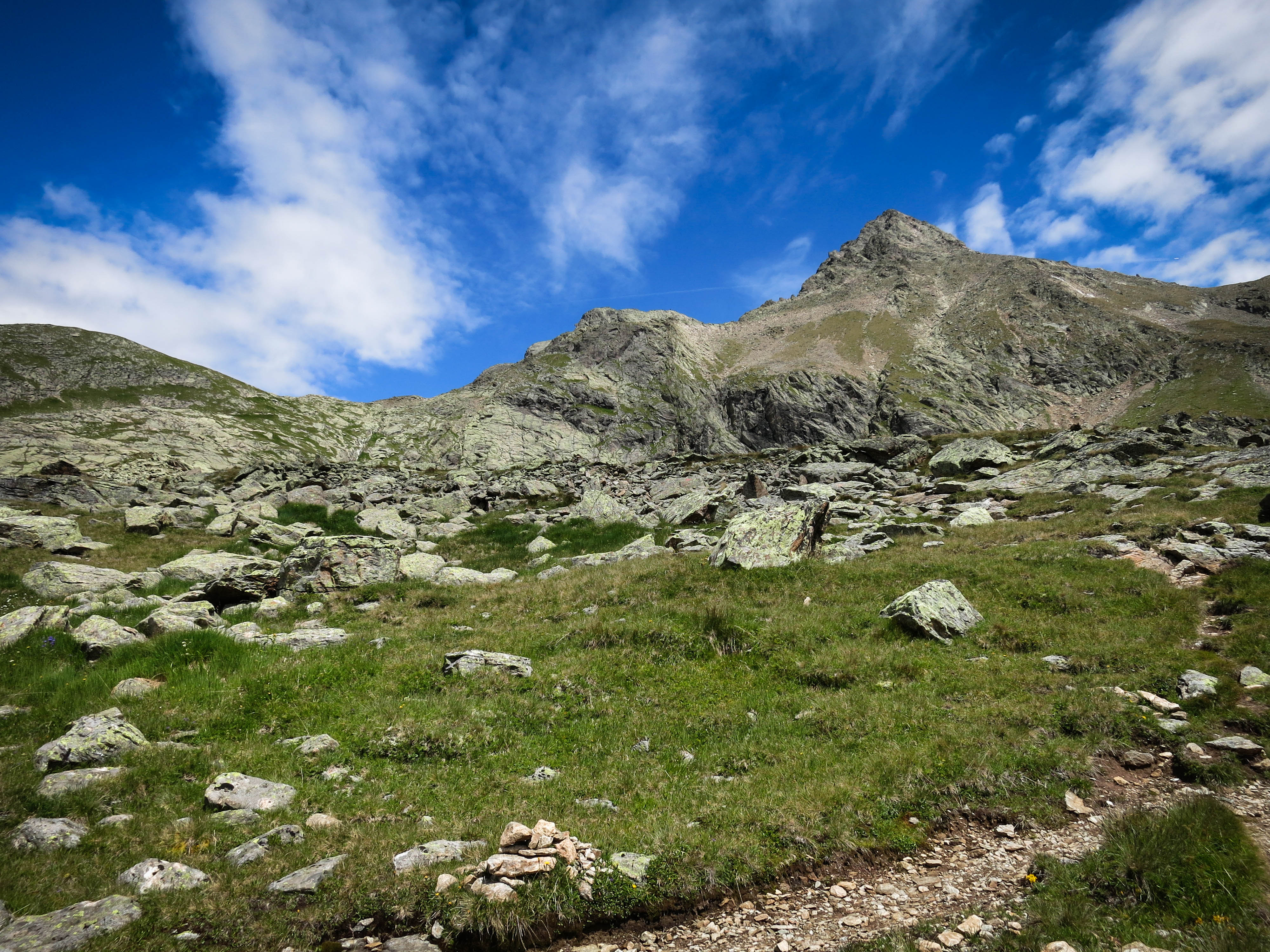
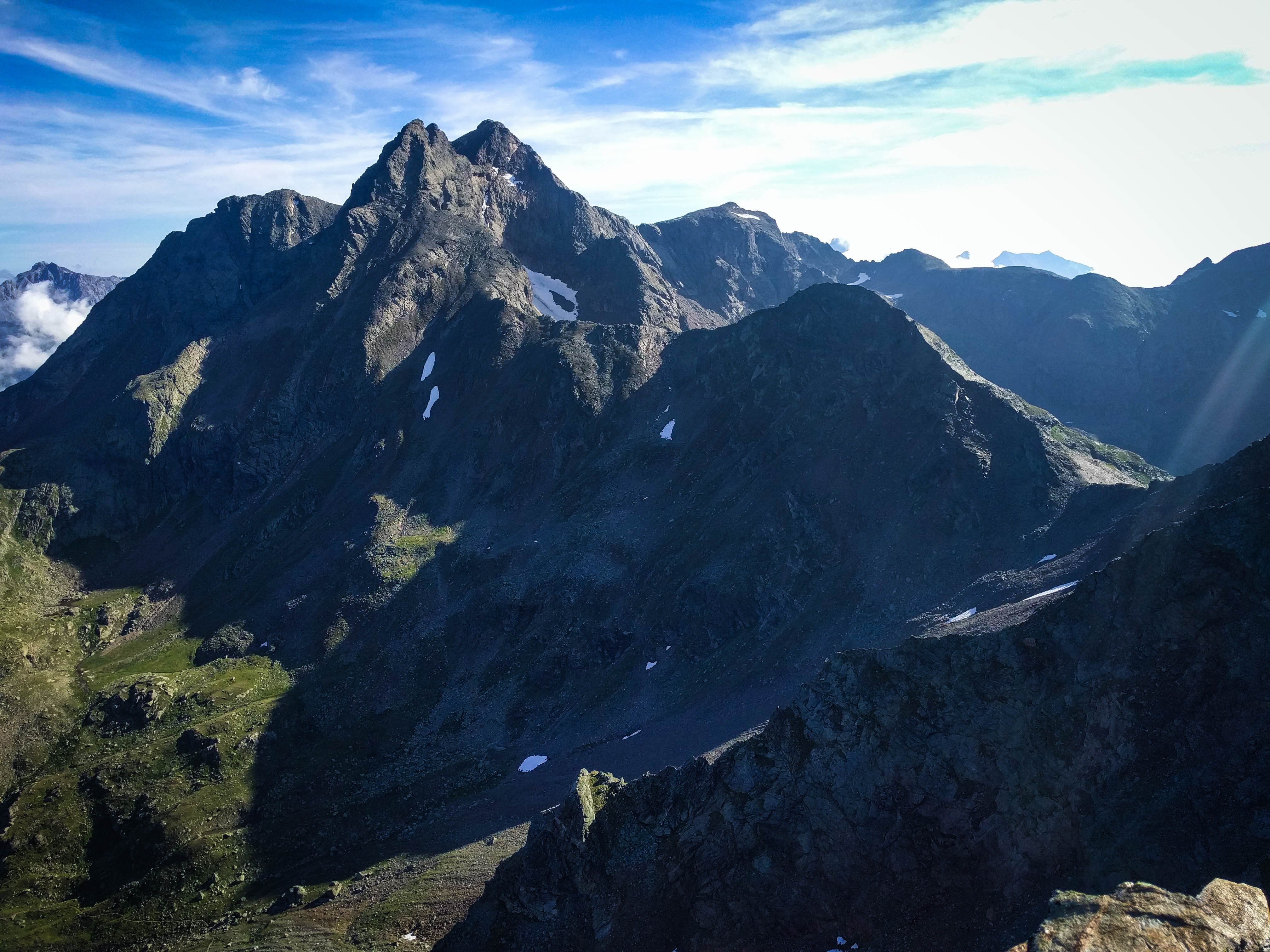
Looking up the ridge to the Gauderkopf
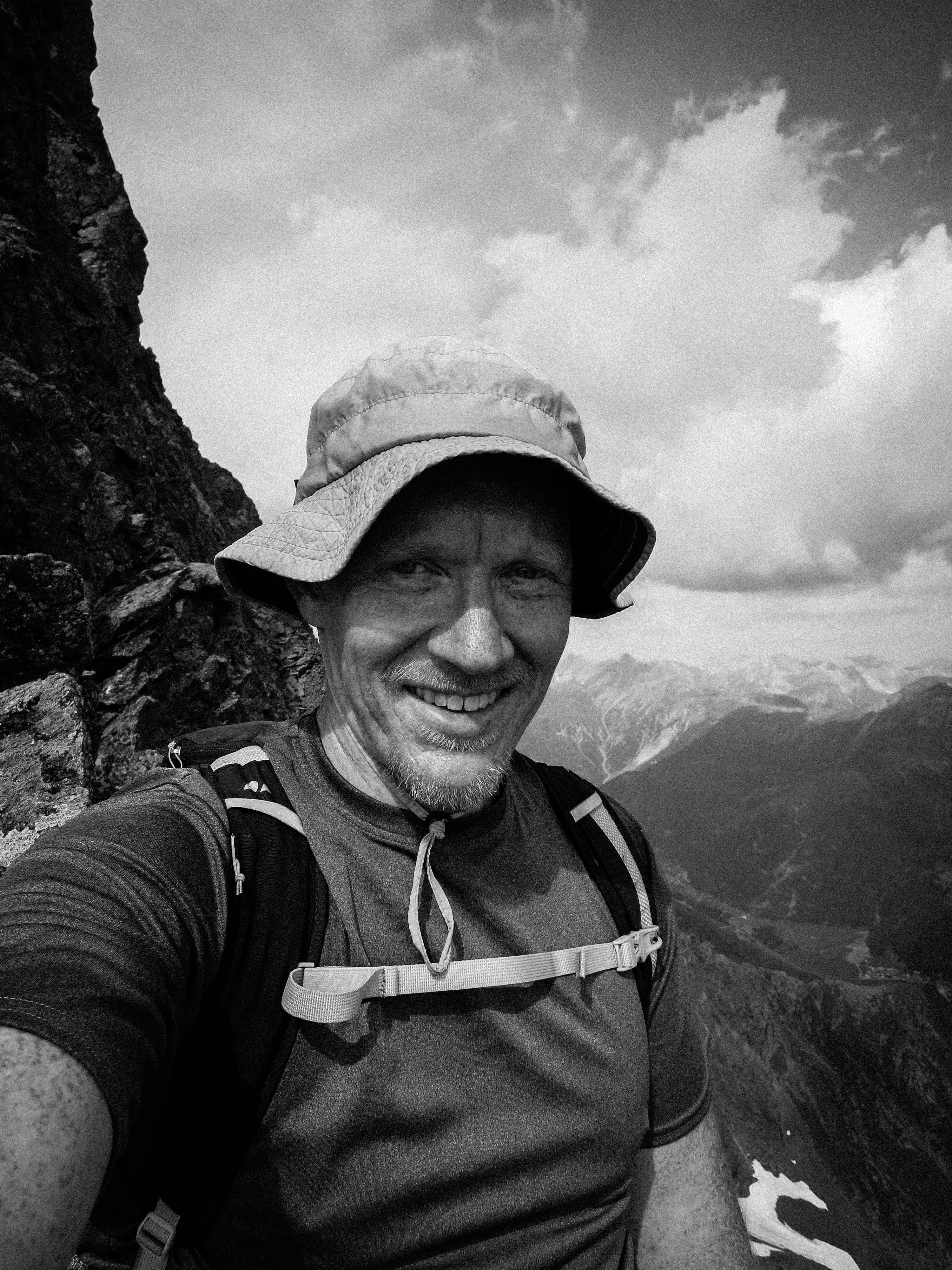
Selfie on the ridge
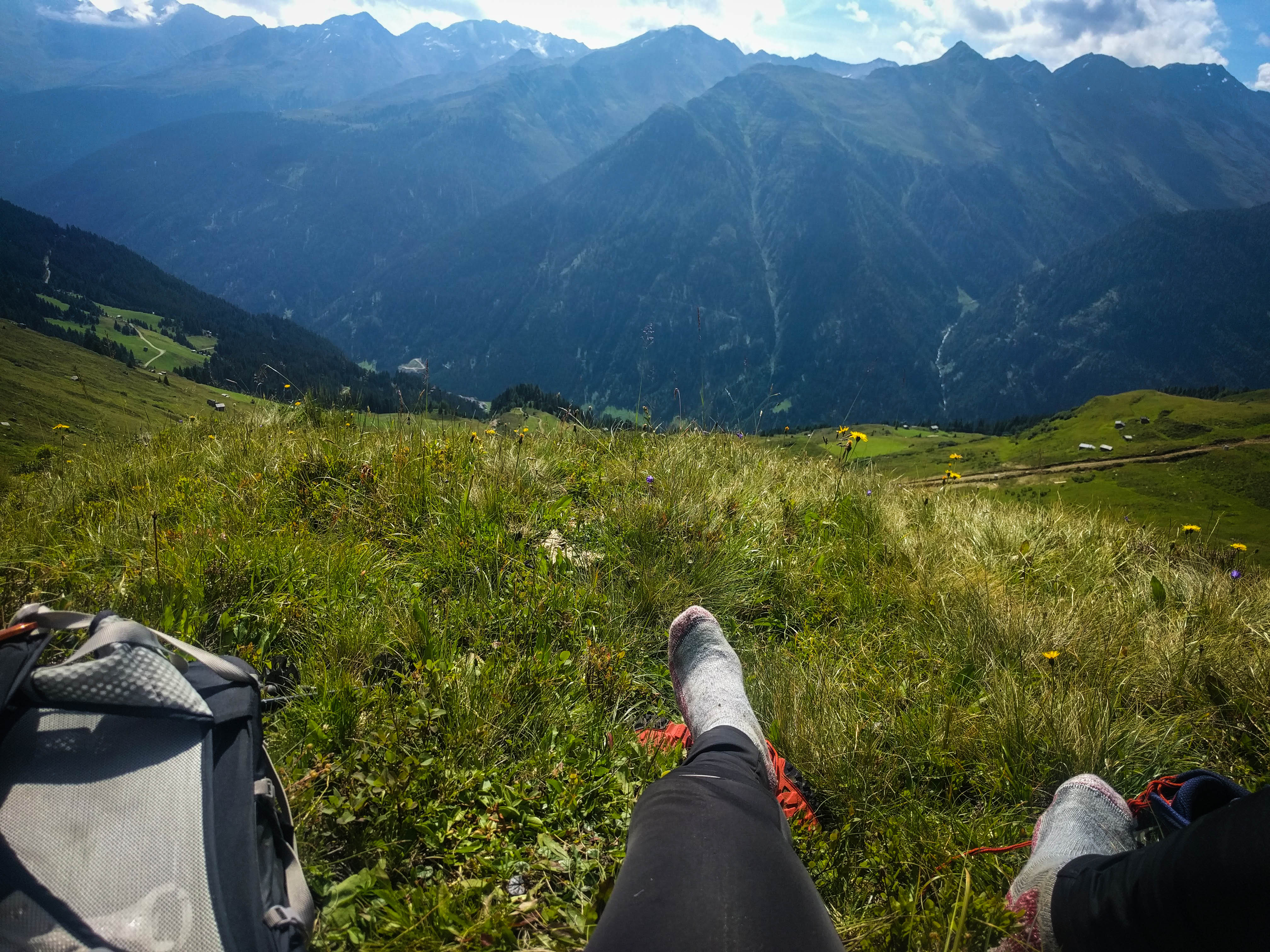
Meadow rest above Kappl.
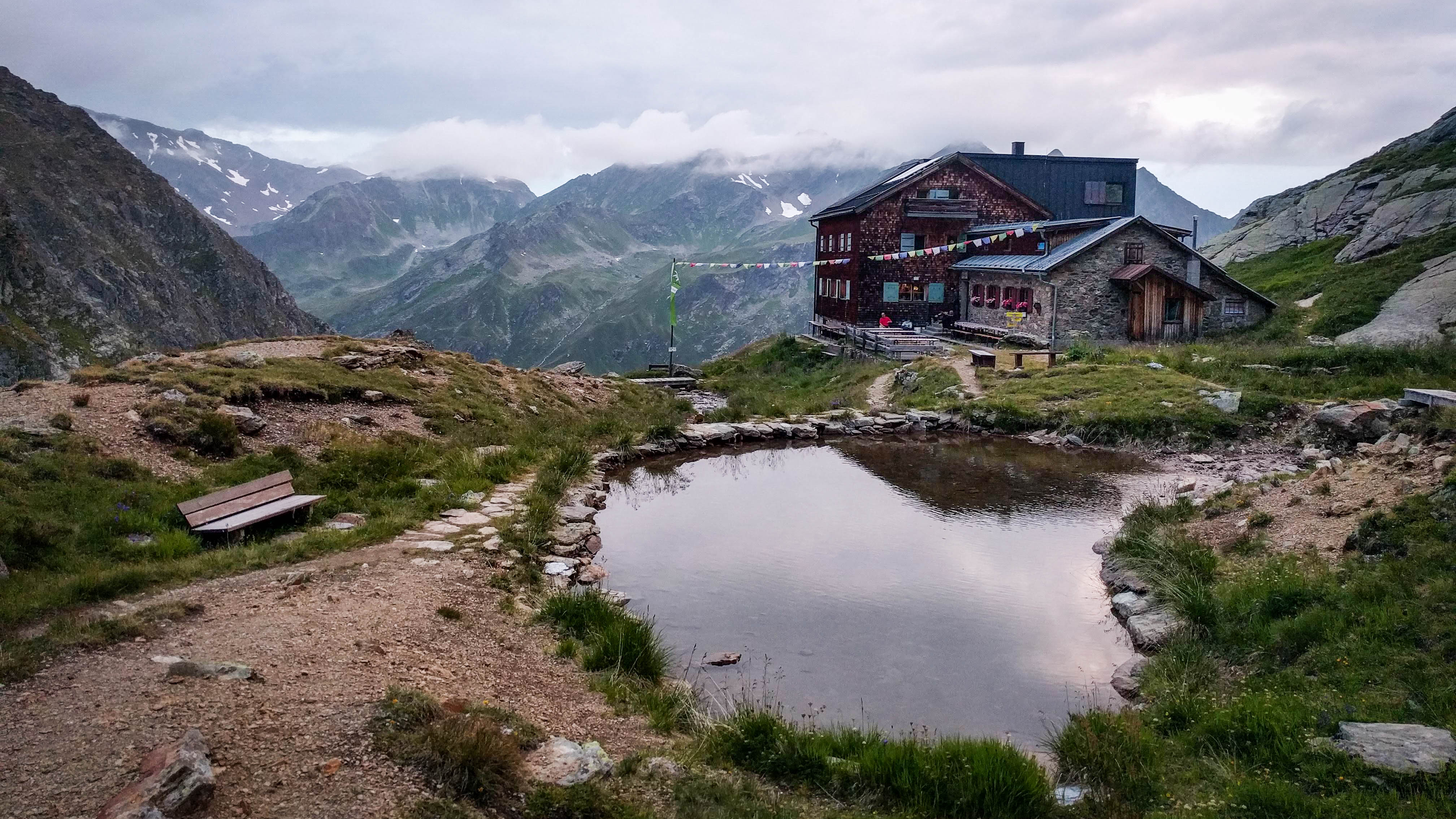
The Edmund-Graf-Hütte
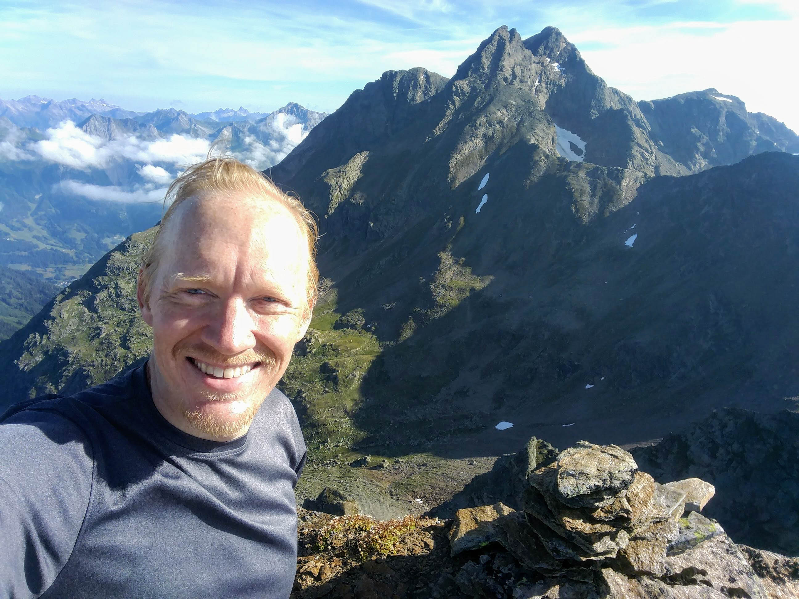
Me and the Hoher Riffler

A visit to Durrichalpe.

Looking to Diesalpe above Kappl.
Wonderful climbing...
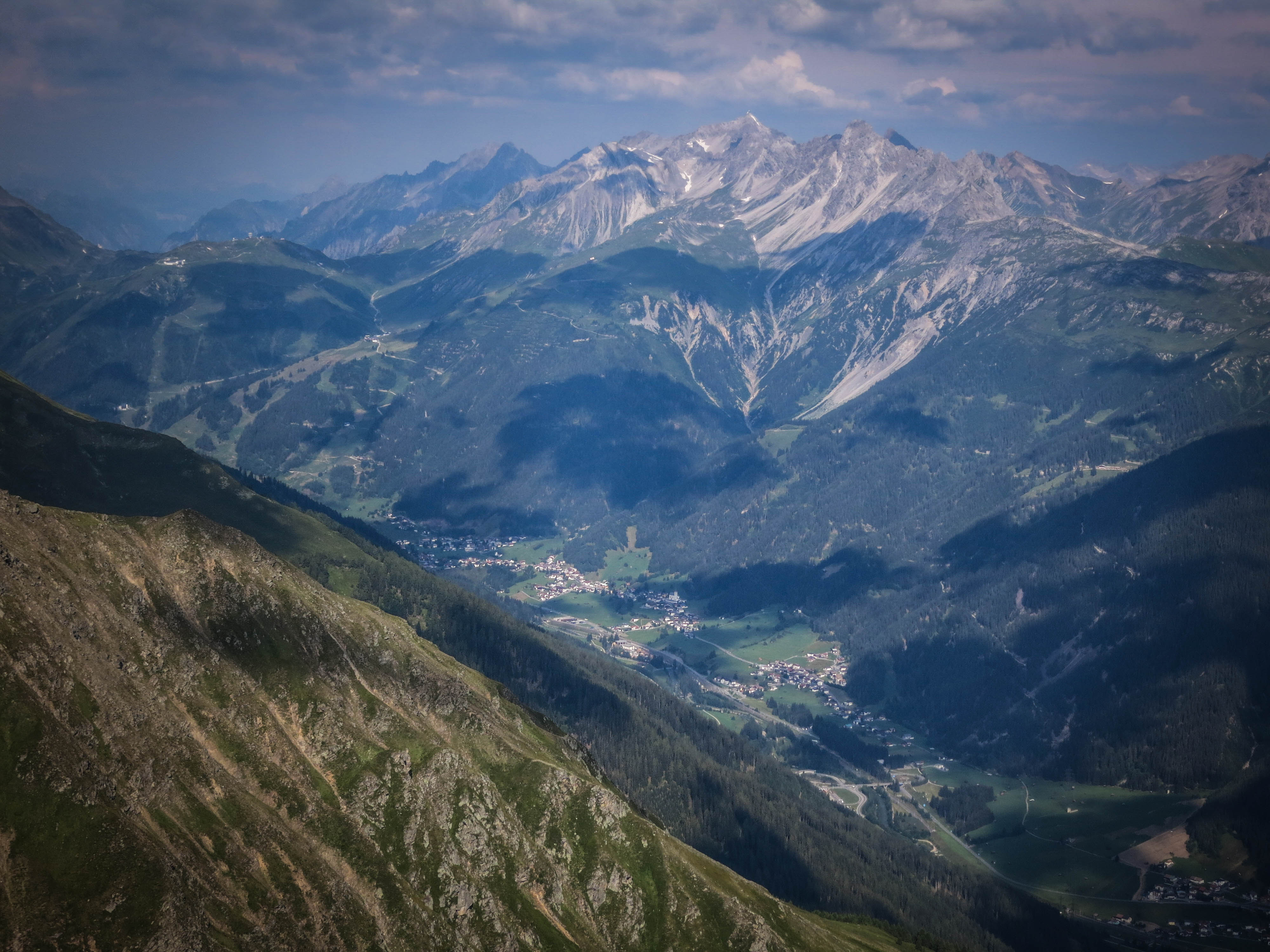
Looking northwest to Pettnau
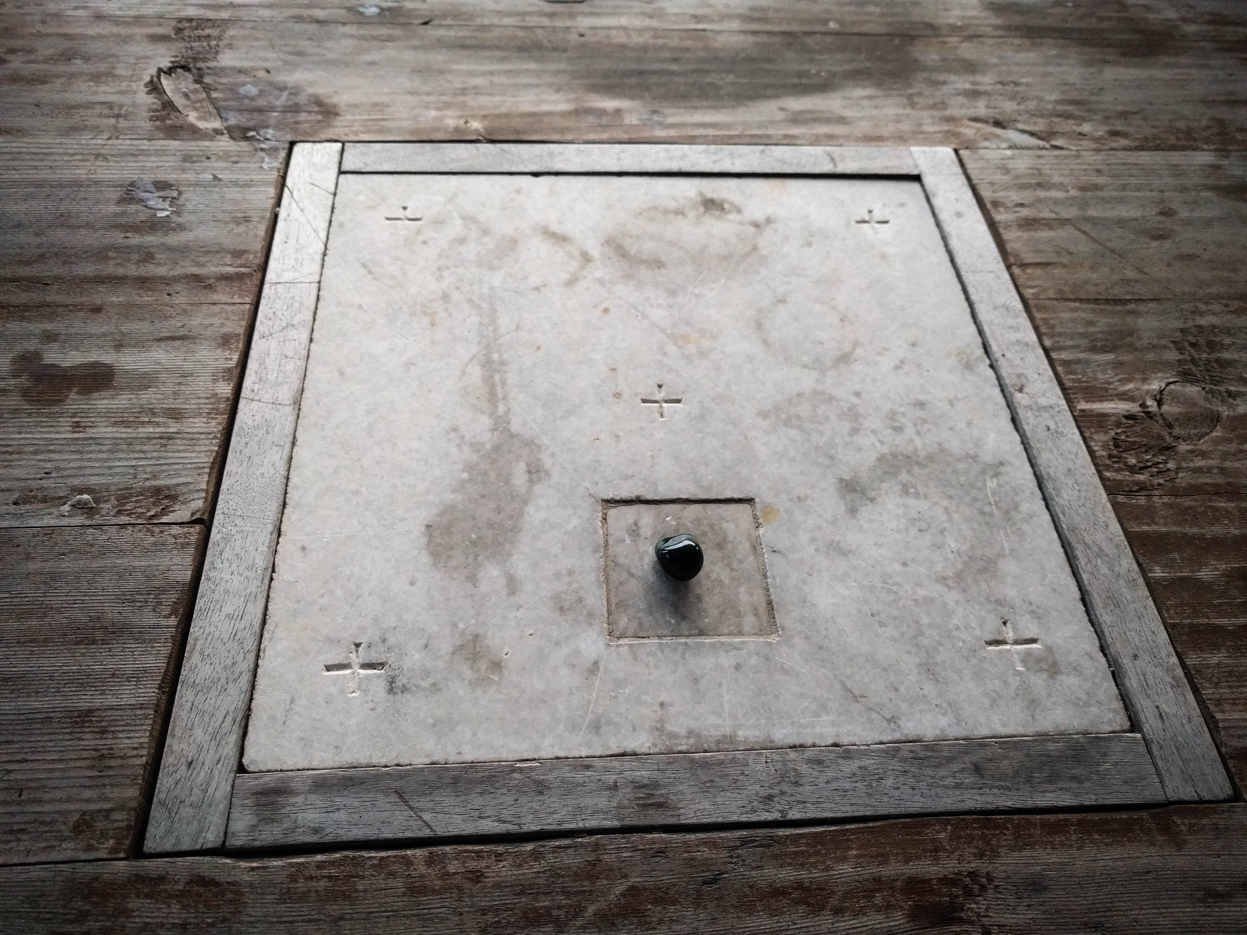
Wonderful alter at the Hut
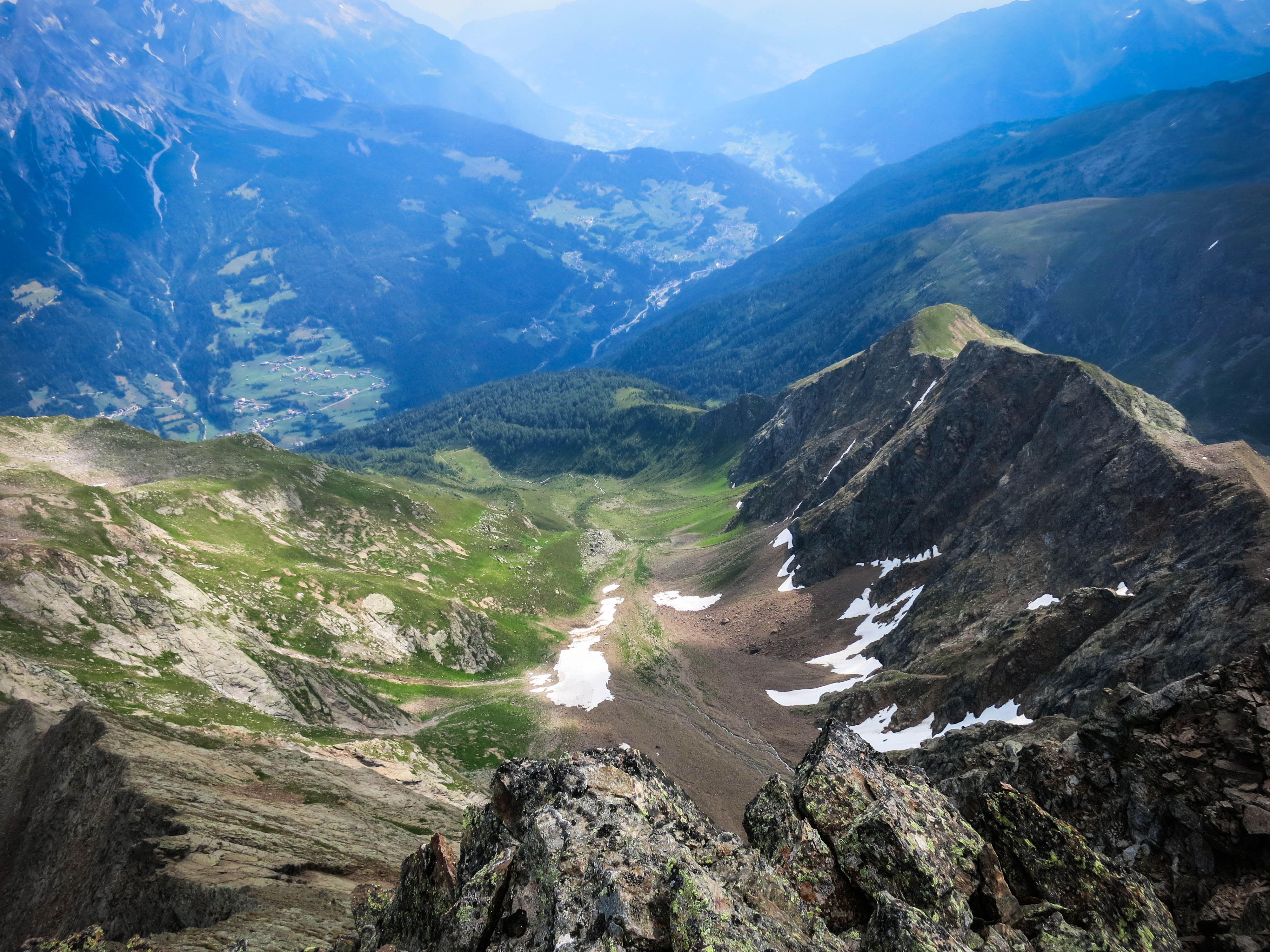
Looking down the Gondebach
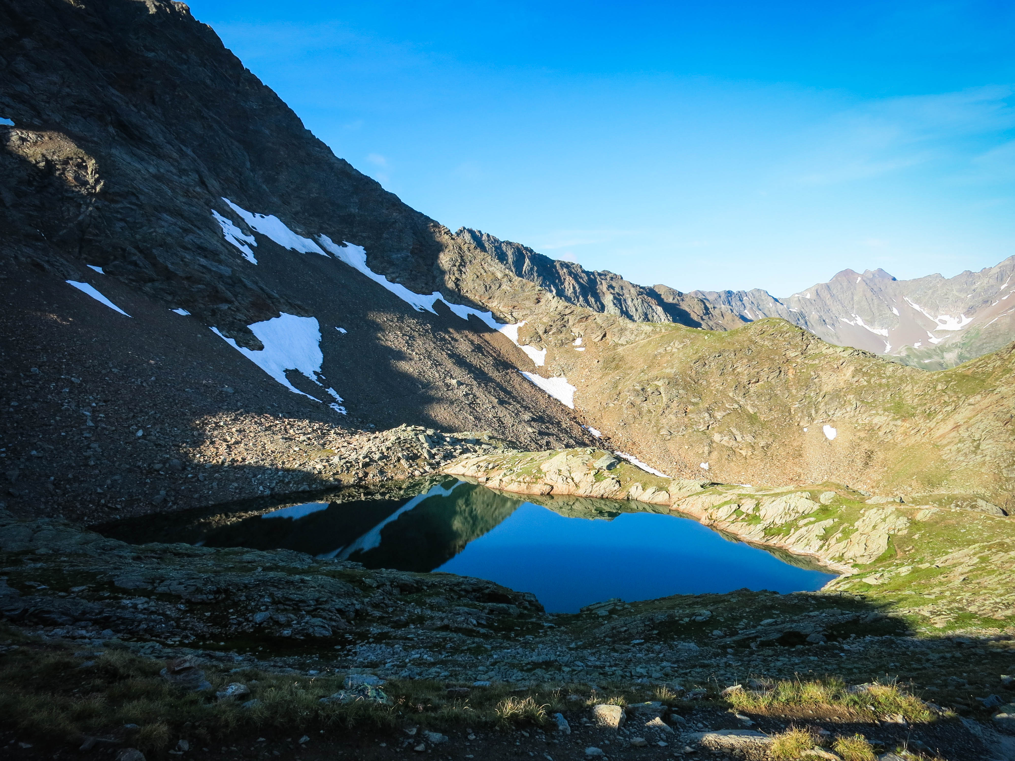
The Schmalzgrubensee
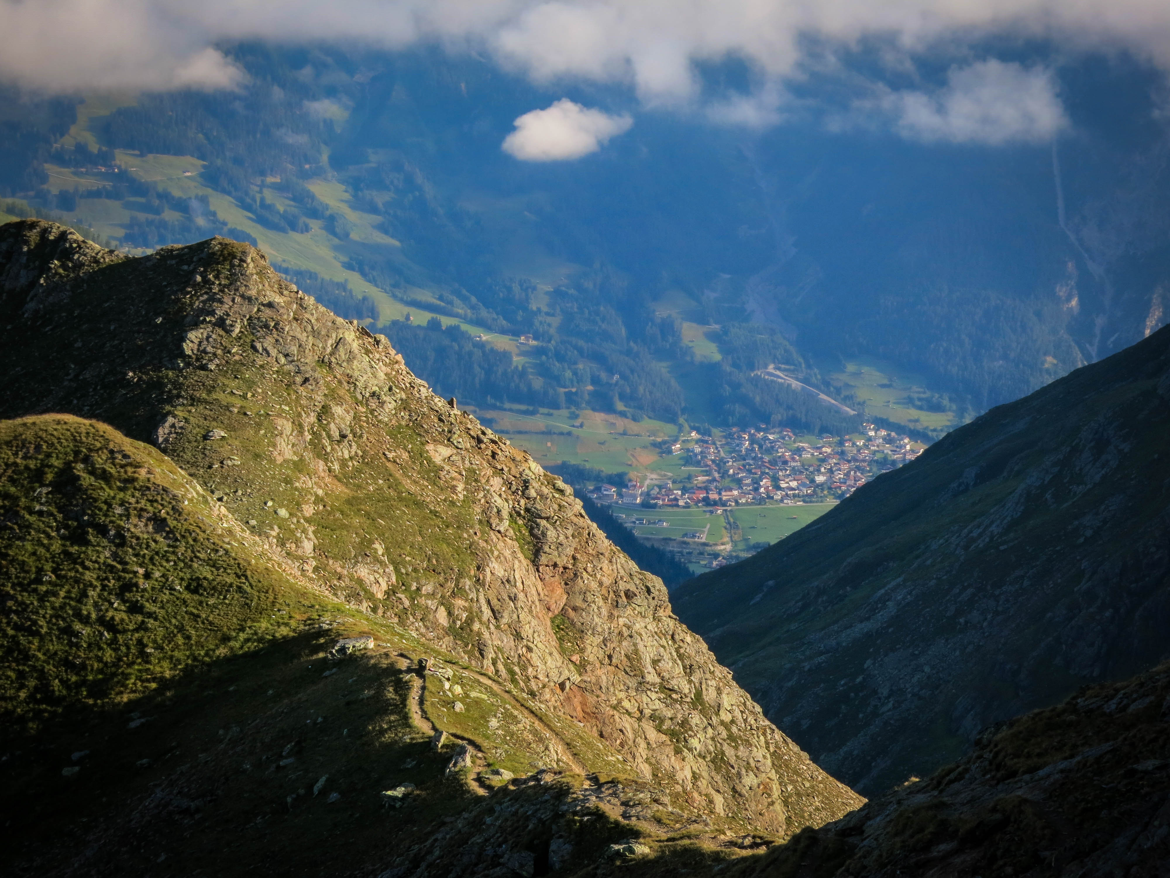
Looking north to Pettneu
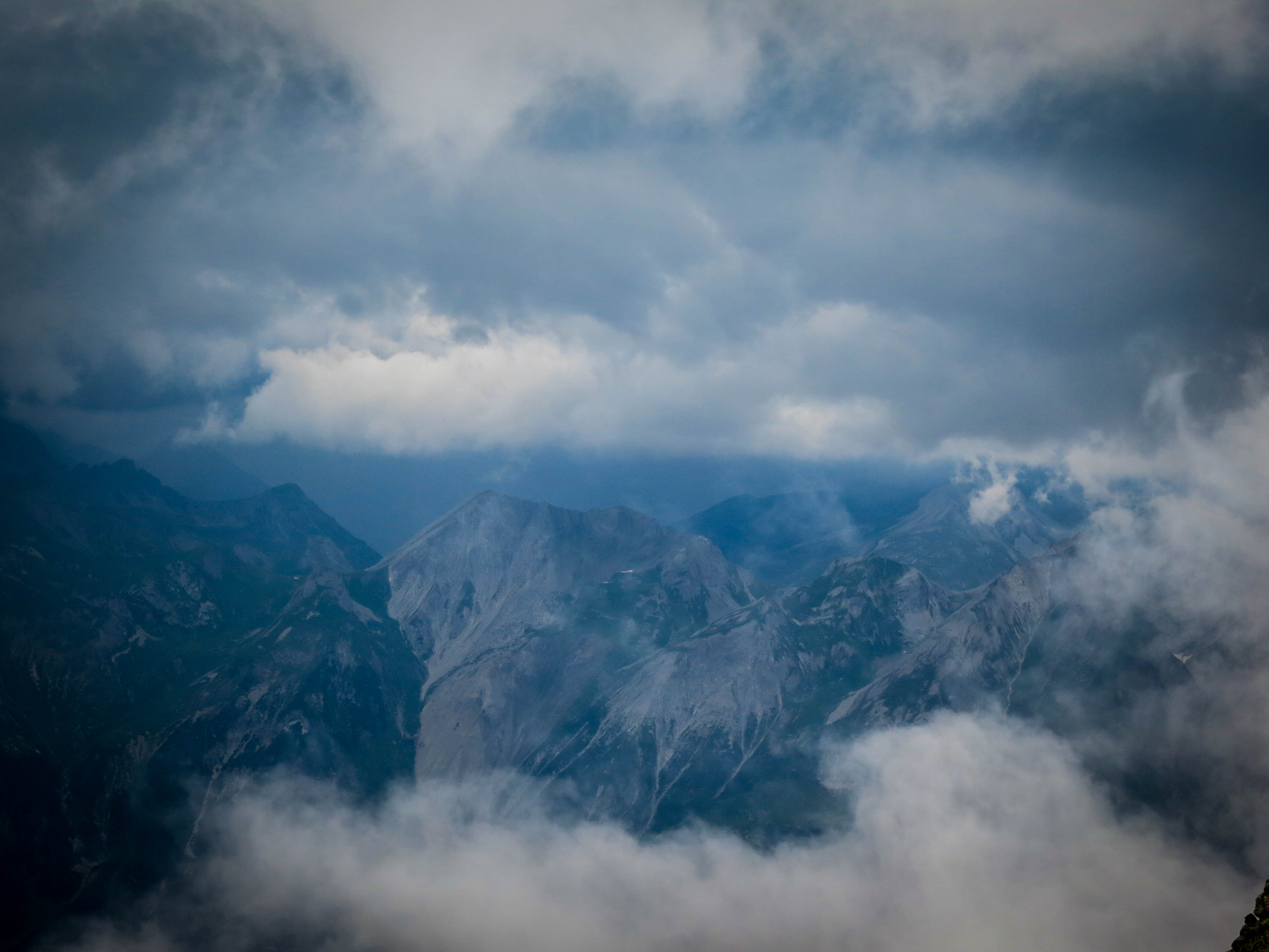
The weather changed rapidly...
Coming down to the south
Just above a steep step.
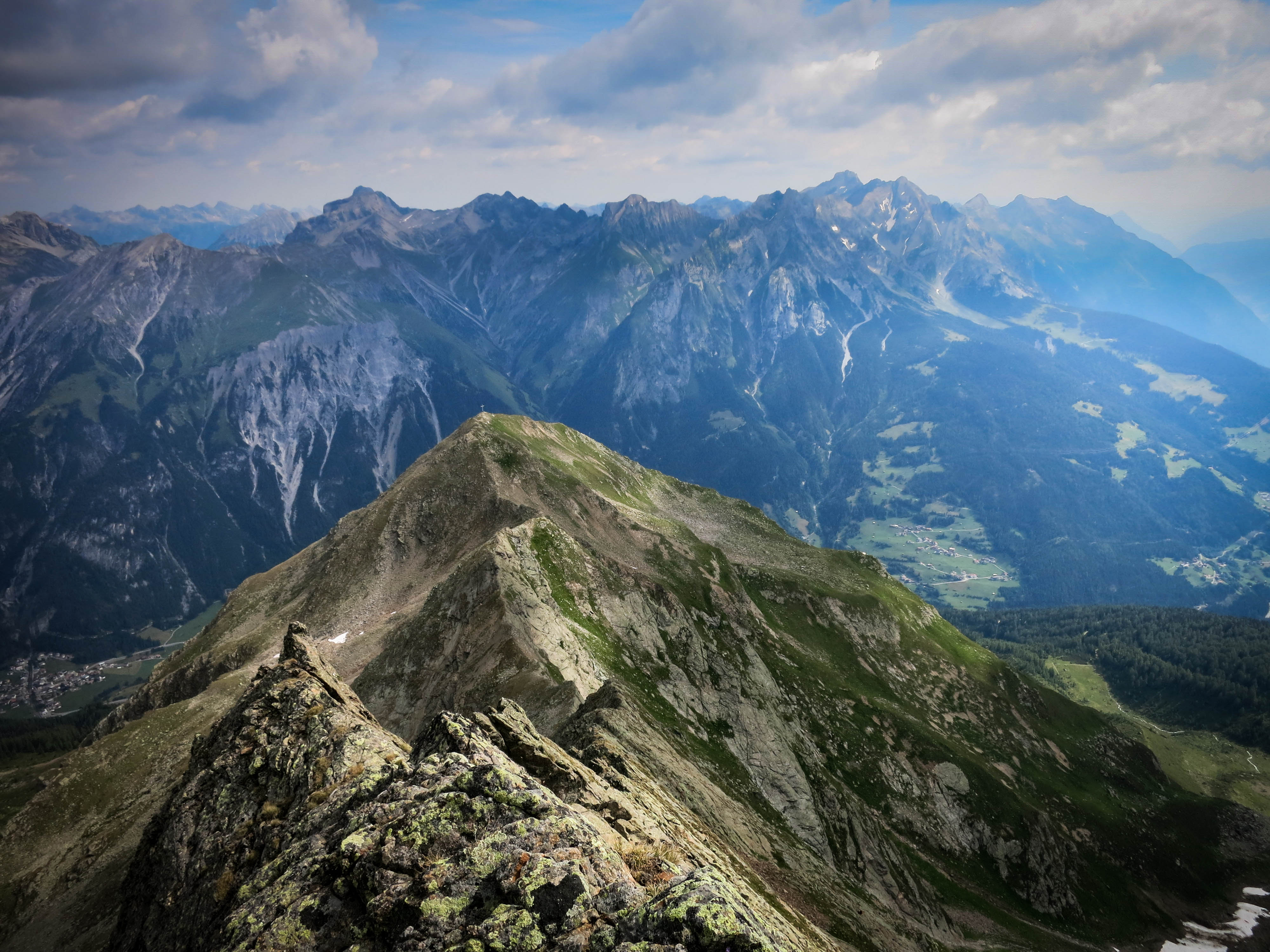
Looking north to Lechtal Mountains.
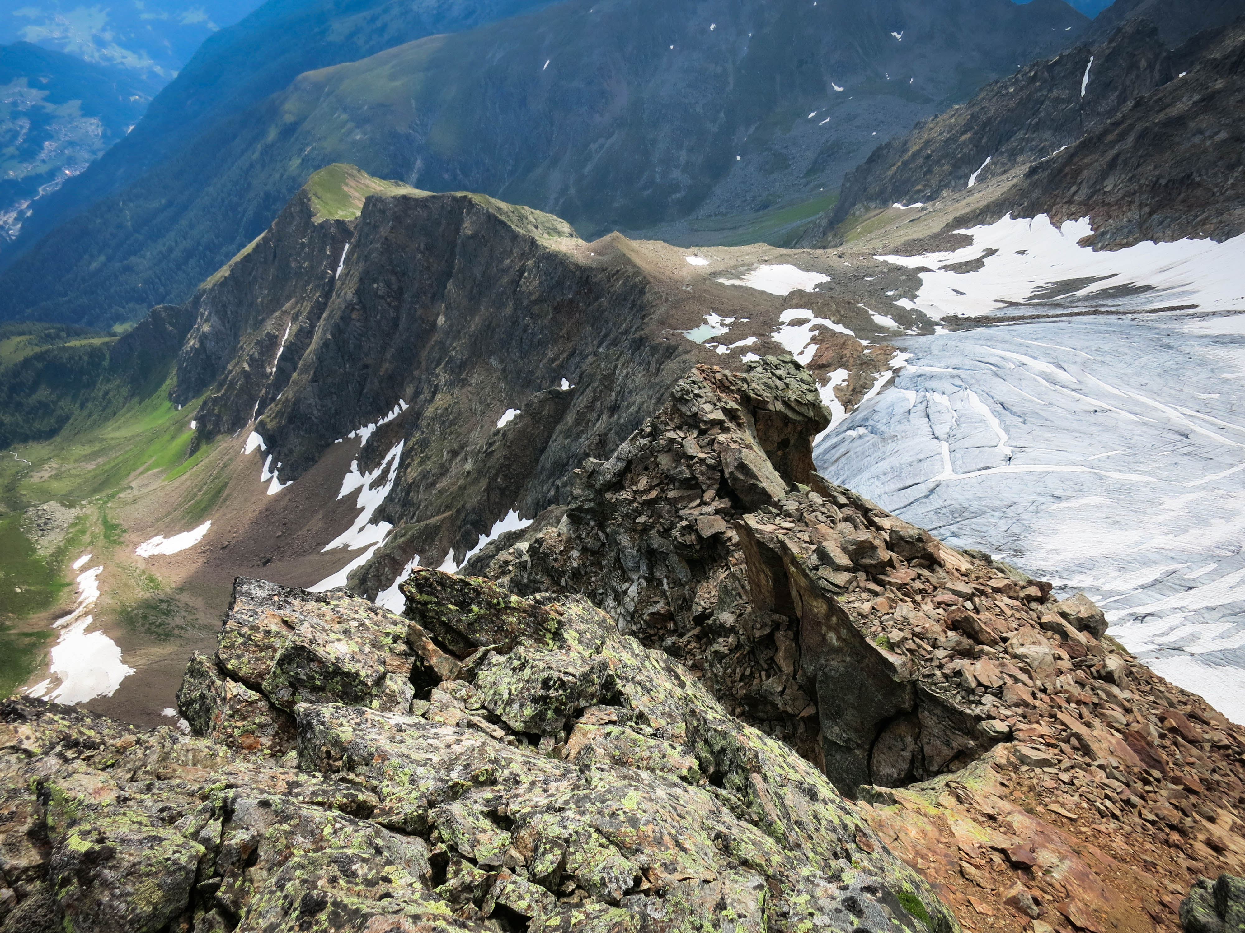
The Flirscher Ferner
Tantalizing glimpses to the south
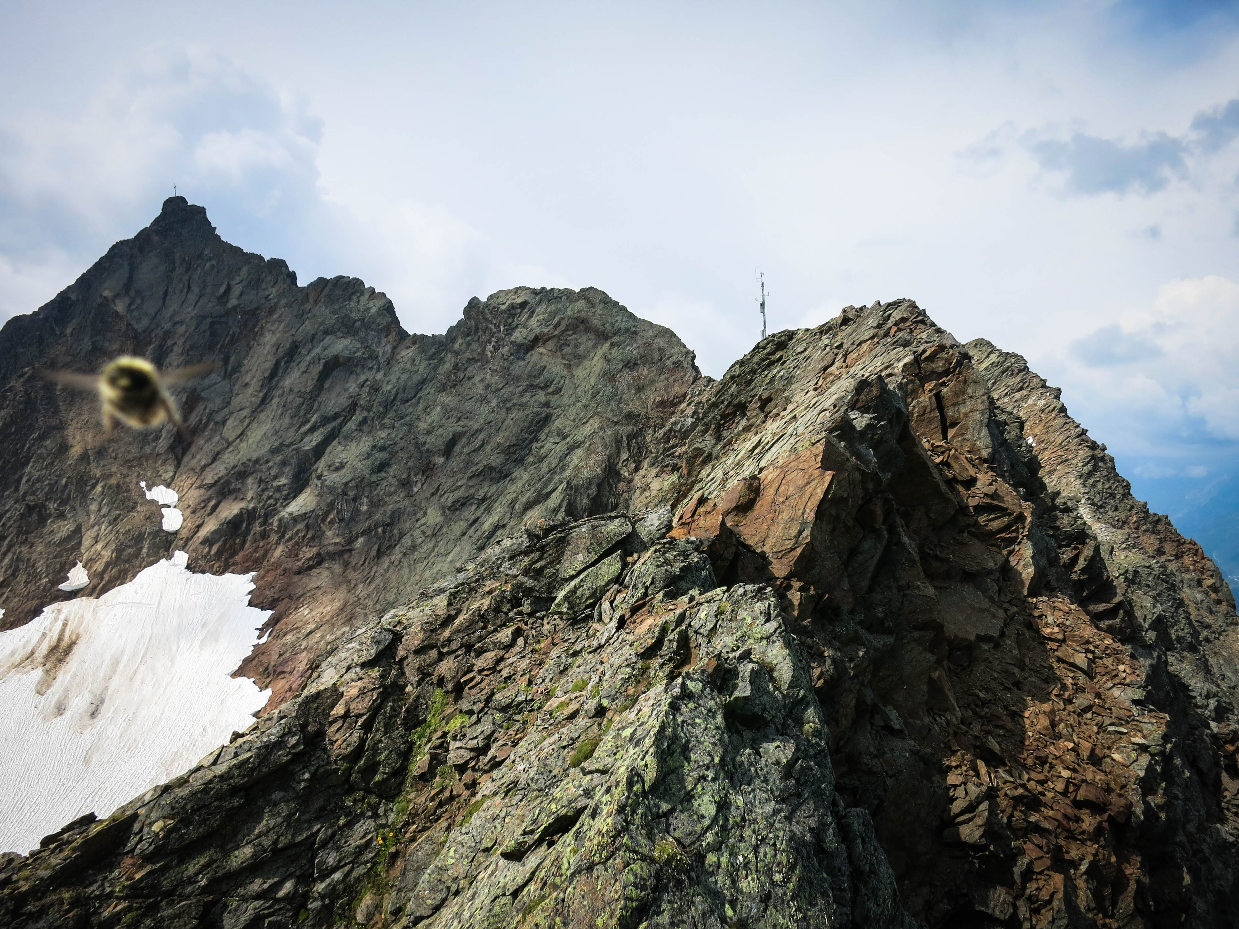
A Bee on the Gauderkopf
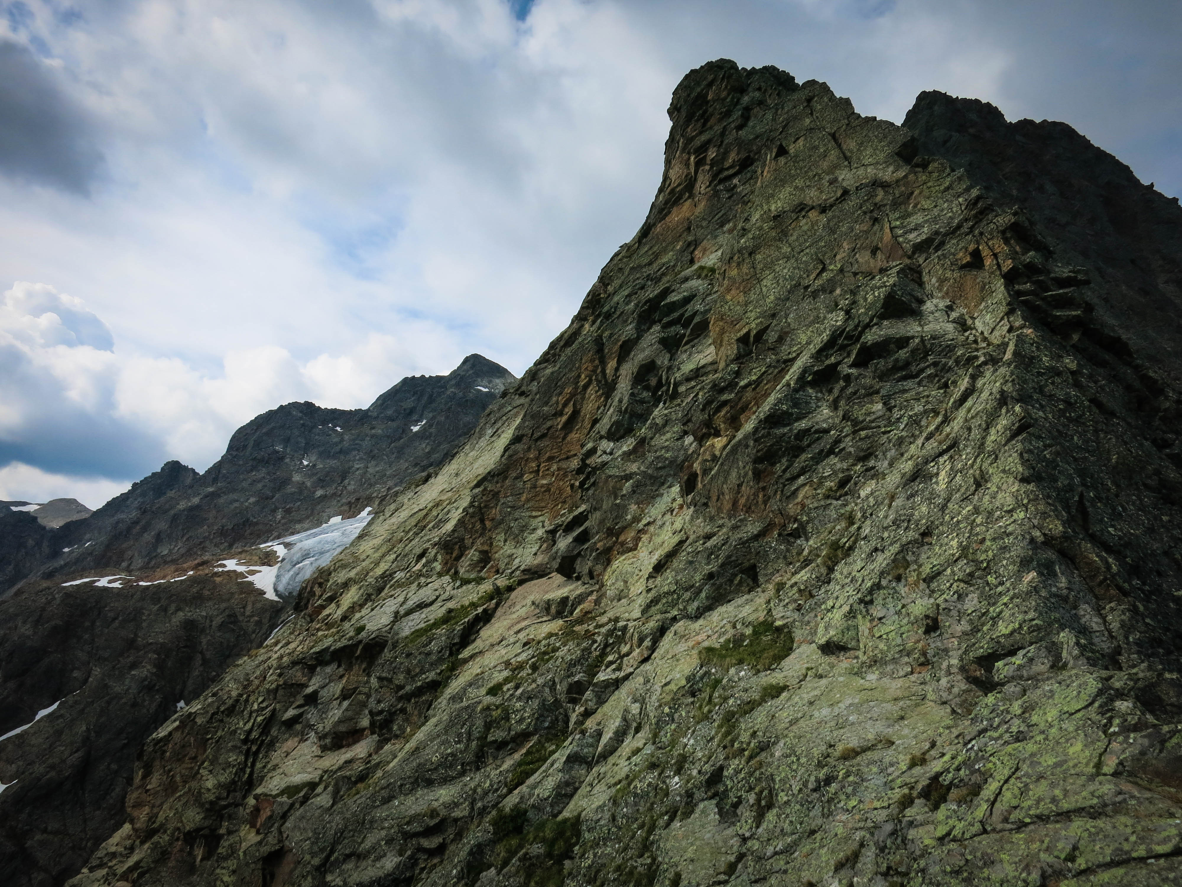
Climbing the Gauderkopf ridge
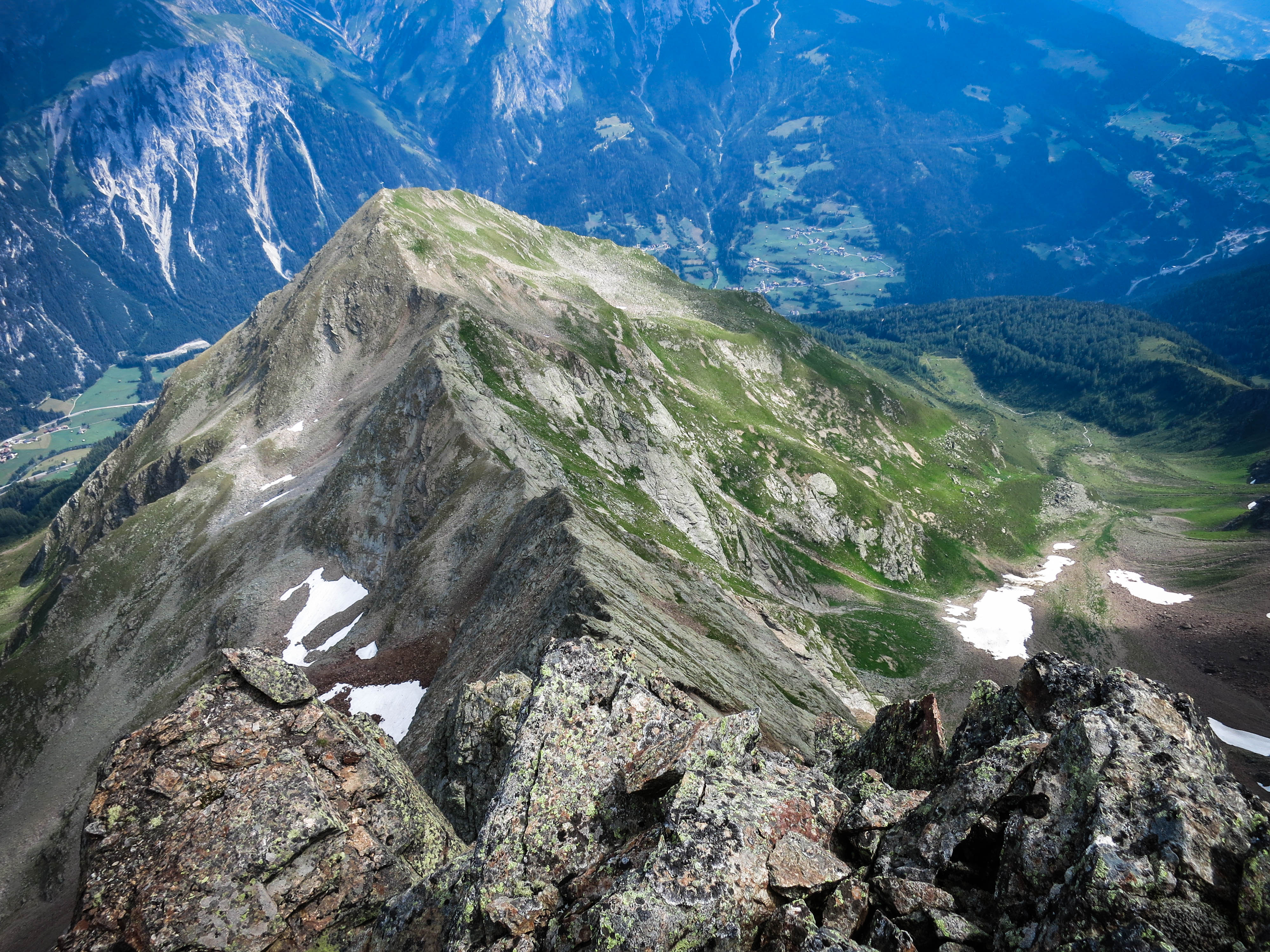
A glance back at the Hoher Riffler