Graukogel
Friends: Only God!Location: Graukogel
Elevation gain: 1500m = 1500m
I spent a couple nights in Bad Gastein, managing one pretty big hike. I had fantastic weather, and it's a beautiful place.
I stayed at what appeared to be the only open hotel in the abandoned multi-hotel settlement at the opening of the Kötschachtal. Was it COVID that did these places in, or something prior? Rather eerie!
Departing the hotel, I walked up a logging road into the Reichebenwald, a quiet and lovely forest. After the road circled around to the west slope of the mountain, I met with a trail, and a few people who had just started hiking from the middle station, which I surmised from the smell of their freshly washed clothing. The trail went through skiing lanes carved out of the forest, and I passed another couple of people. Finally I was at the upper lift station, along with a herd of cows headed for some kind of breakfast at a log cabin (Blockhaus, in German). They just stared at me while I rested and ate something on a bench.
Above, the Graukogel (2492 m) comes into sight. I figured I'd cliimb that first and pick up the Hüttenkogel on the way down. At the Graukogel I really enjoyed the views, because the whole southern aspect looks into a series of fantastic granite bowls, with lakes and snowfields. I saw people walking around the Palfner See, then heading up above it. I wonder where that trail goes? I had a look at the map, and it seemed that I could follow the ridge I was on to the Palfner Scharte, then return to my valley past a series of lakes to the southeast (the Windschnursee, through the Seekar, finally the Reedsee). Let's do that!
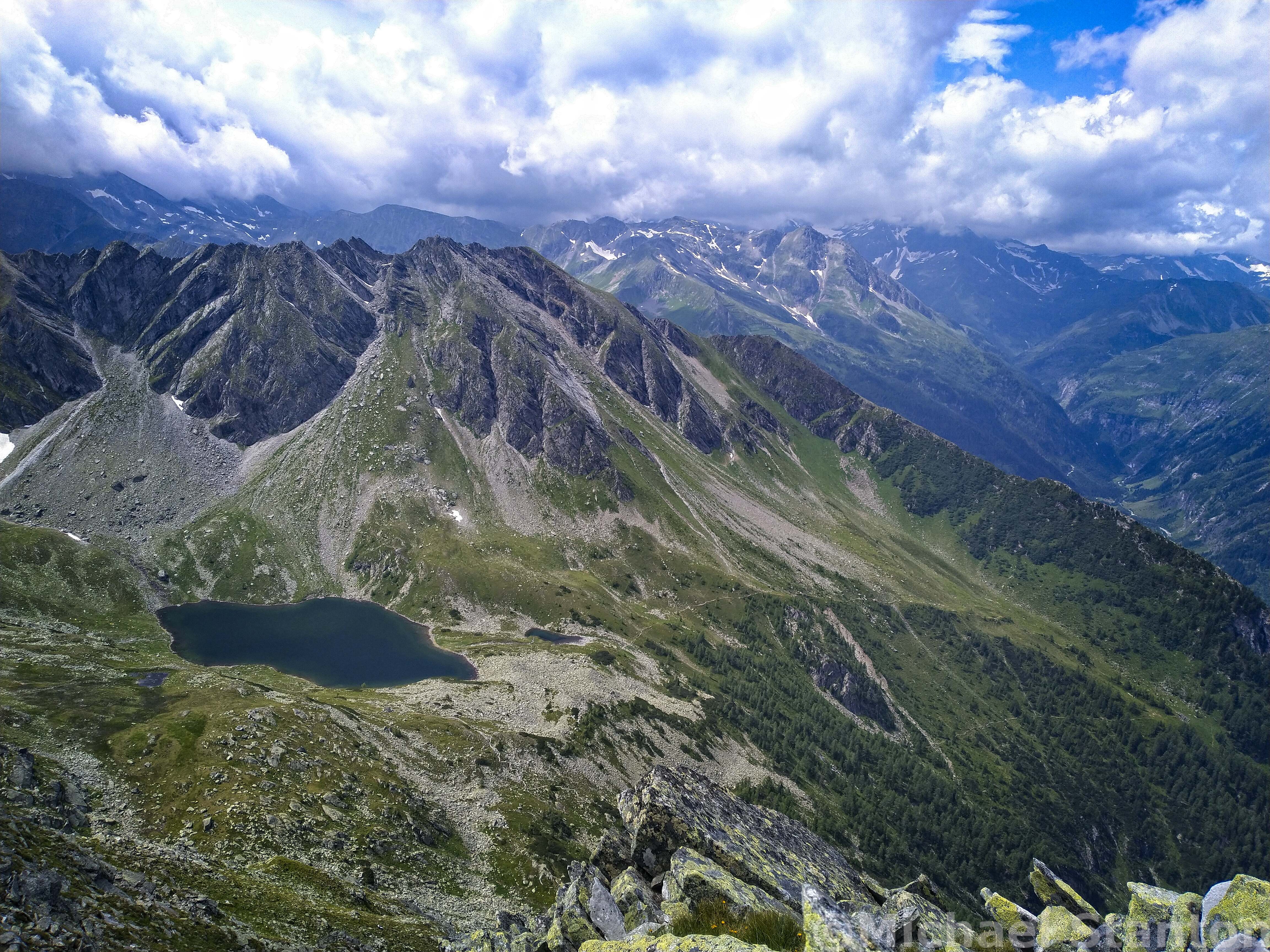
The Palfner See, with the Ankogel Mountains in the distance.
The trail on the ridge was sometimes faint, but never a problem. I was a bit anxious though, because I knew that my foot would be pretty sore from the extra kilometers. I had to struggle to stay in the moment and not anticipate pain to be dealt with later!
I've really tried to hike as much as I can this summer before going back "under the knife" to get the metal out of my foot. But on this trip I was starting to hit the limits of this approach. I'm really drawn to big hikes, of 1600 meters elevation gain or more if possible. However, if I do one that big, and can't benefit from a cable car to reduce the effort on the way down, I'll be out of commission for a few days. Folks ask me why can't I just do smaller hikes? I don't have a great answer...it just seems that I want to be moving for many hours, and am willing to pay for it. So, enough complaining!
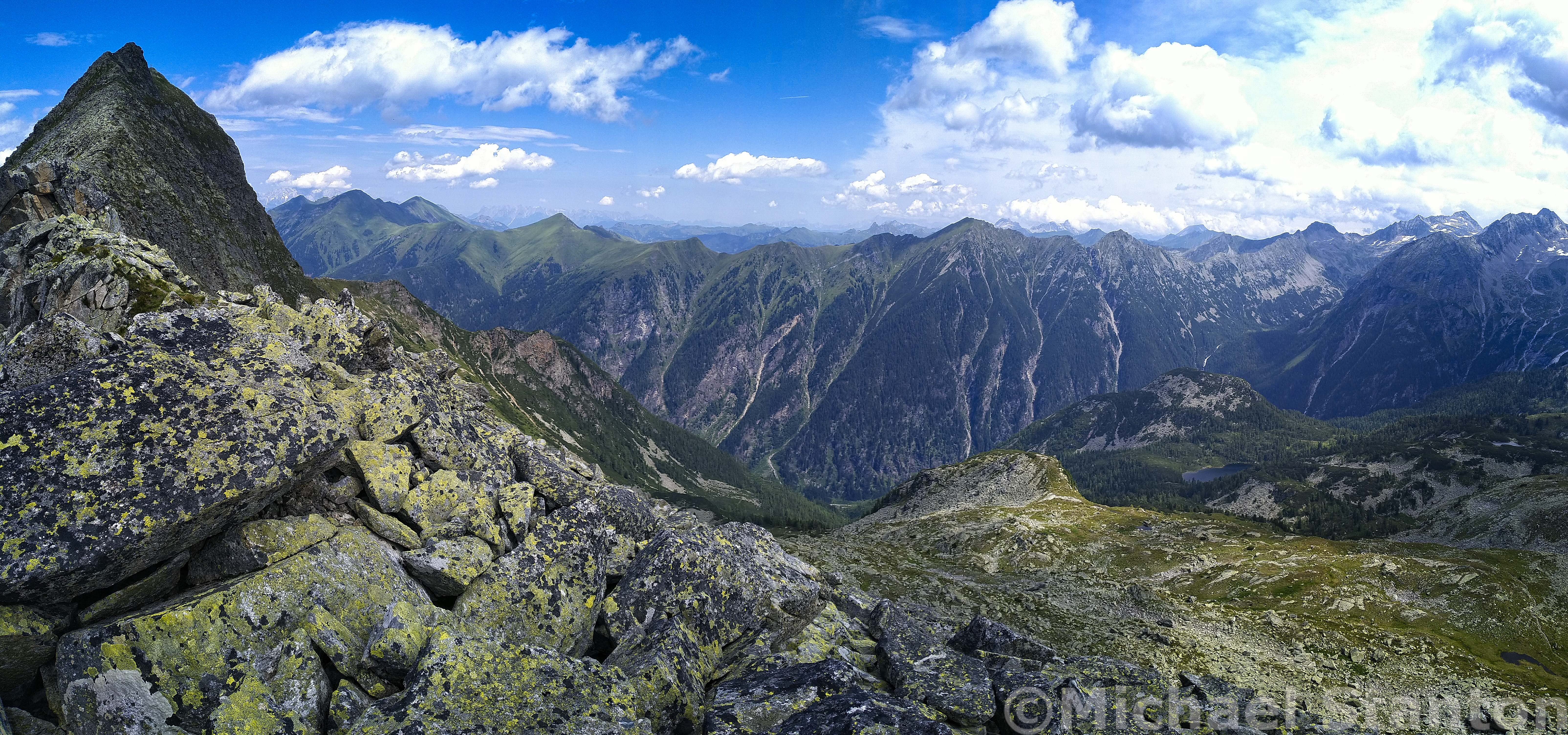
On the left is the Graukogel. Taken coming down the ridge to the Palfner Scharte.
The Graukogel from the Palfner Scharte.
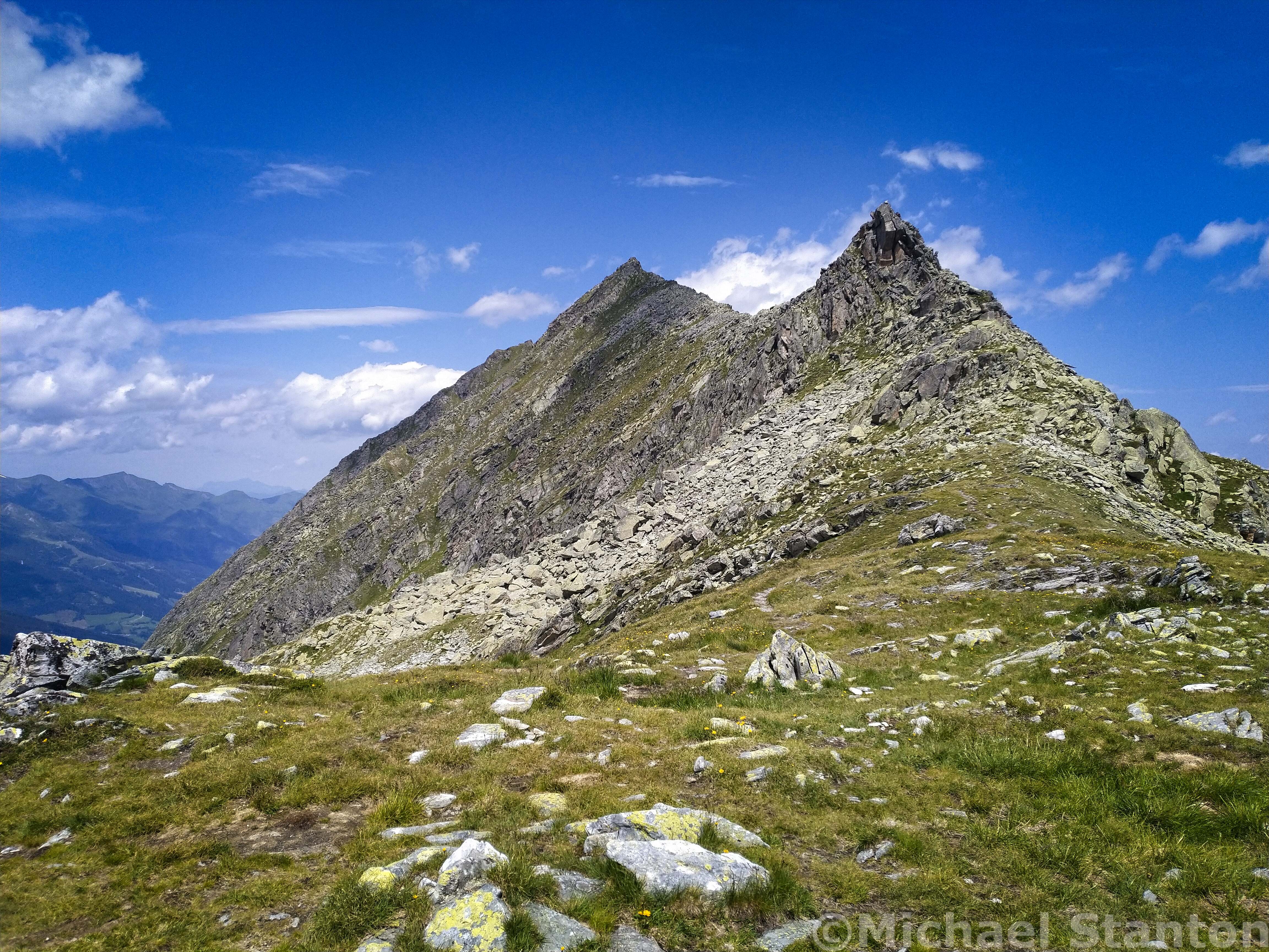
As I approached the Palfner Scharte, a couple on the trail asked me how long to the summmit. I said about 45 minutes. They were worried about a thunderstorm, so they turned back at that point. Indeed, it's an exposed ridge, but really fantastic.
Next, I galumpfed down to the Windschnursee, really loving this alpine country above the trees. Big peaks like the Hölltorkogel (2905 m) and the Tischlerkarkogel (3004 m) were impressive, above small glaciers and connected by granite ridges.
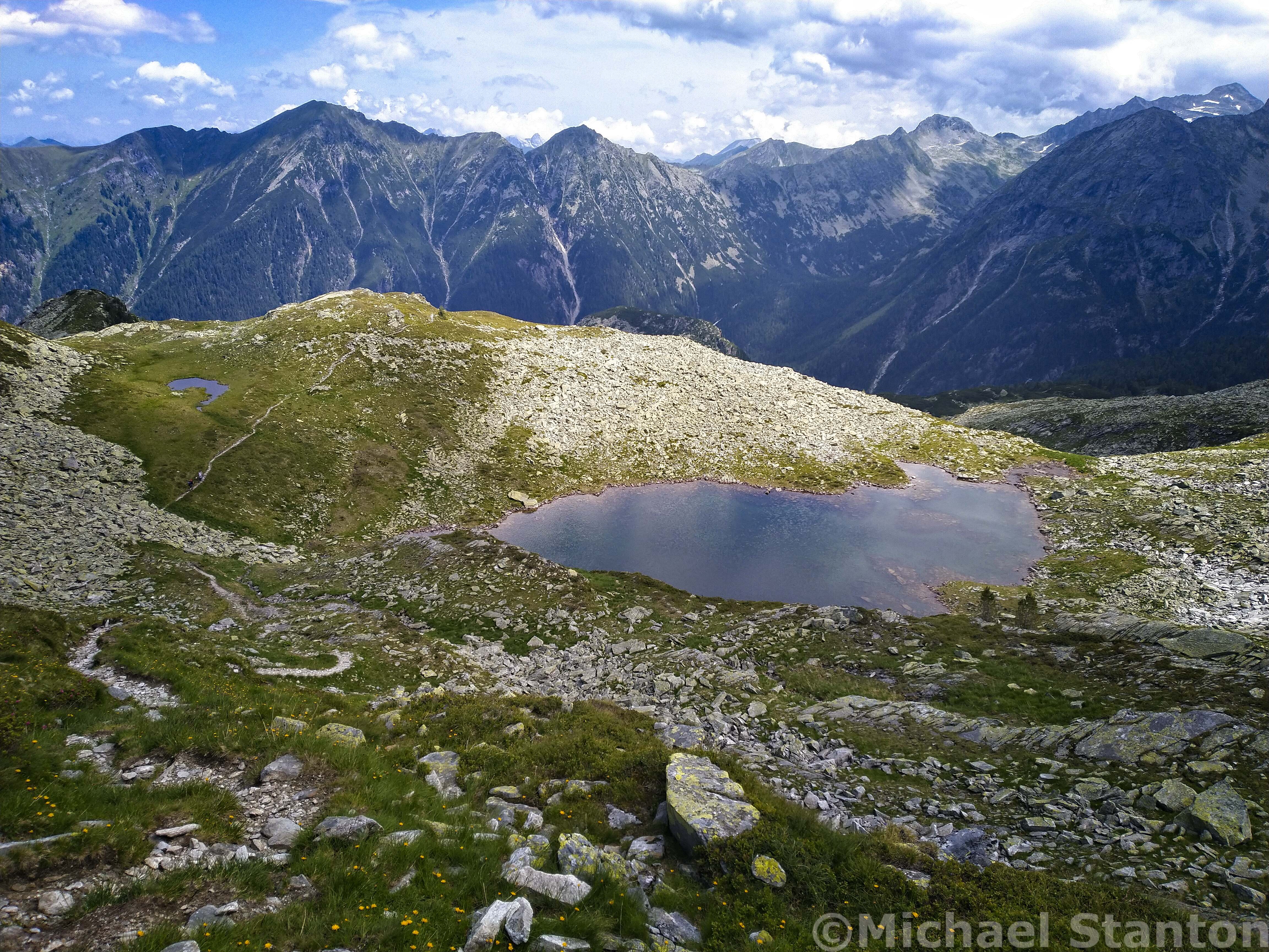
The Windschnurrsee. The trail goes off to the left.
The last time I was in this country was when the boys and I did the Ankogel Range traverse, which was so beautiful.
The trail descended ever more steeply into the Reedgraben, where I was surprised to see folks going up rather late in the afternoon. Maybe they were going to the Reedsee, which is the lowest of the lakes. Limping in a rather pronounced way now, I made my way down the valley to the hotel. On reaching it, the rain started as if on cue. Neat!
The next day I wanted to rent a bike, however my foot was just too sore. So I drove home in a leisurely fashion. 1500 meters up and down.