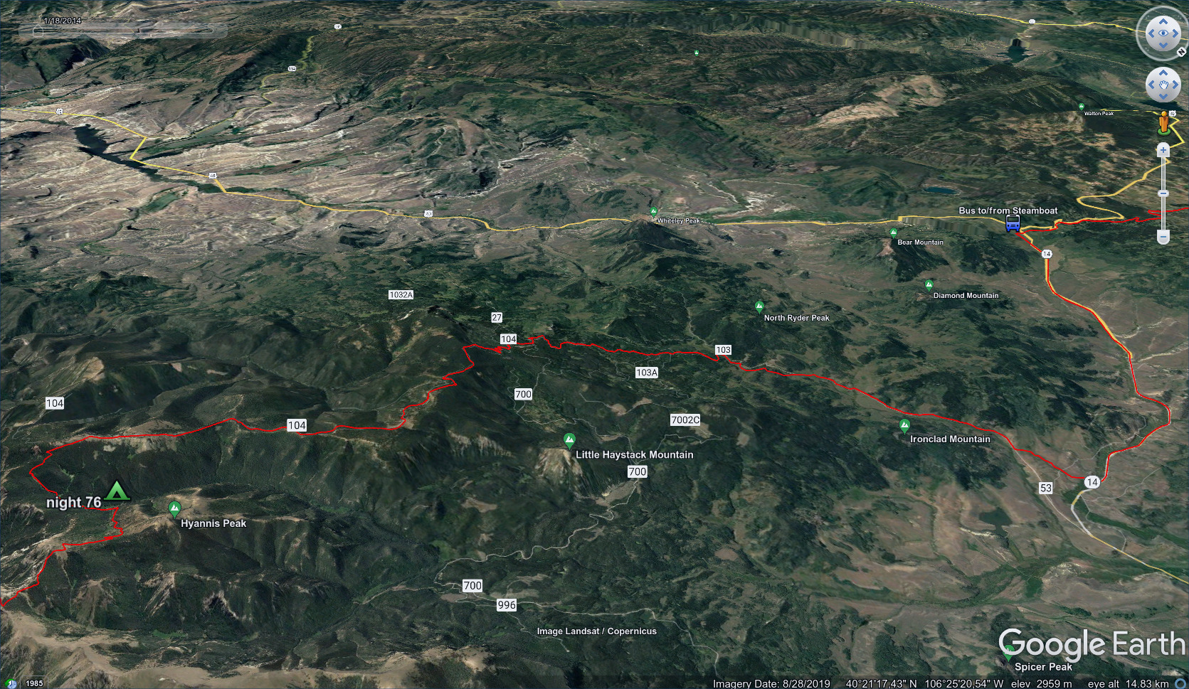
CDT - Grand Lake to Steamboat Springs
Friends: Only God!Location: Grand Lake, Bowen Pass, Illinois Pass, Willow Creek Pass, Parkview Mountain, Troublesome Pass, Muddy Pass, Steamboat Springs
Elevation gain: 4138m = 690m + 1787m + 1028m + 633m
To go back to days 69 and before, click here.
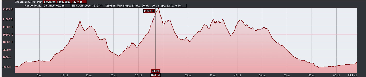
69.2 miles, 13193 feet elevation gain.
The text for this section is quite similar to the blog entry but there are many new pictures.
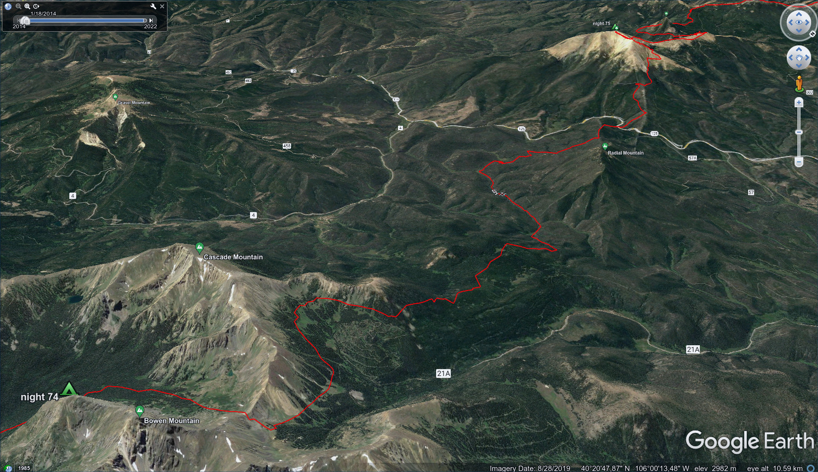
July 3, Day 74, 12.1 miles
First a road walk, then a beetling and nestling back
into dark and rainy forest.

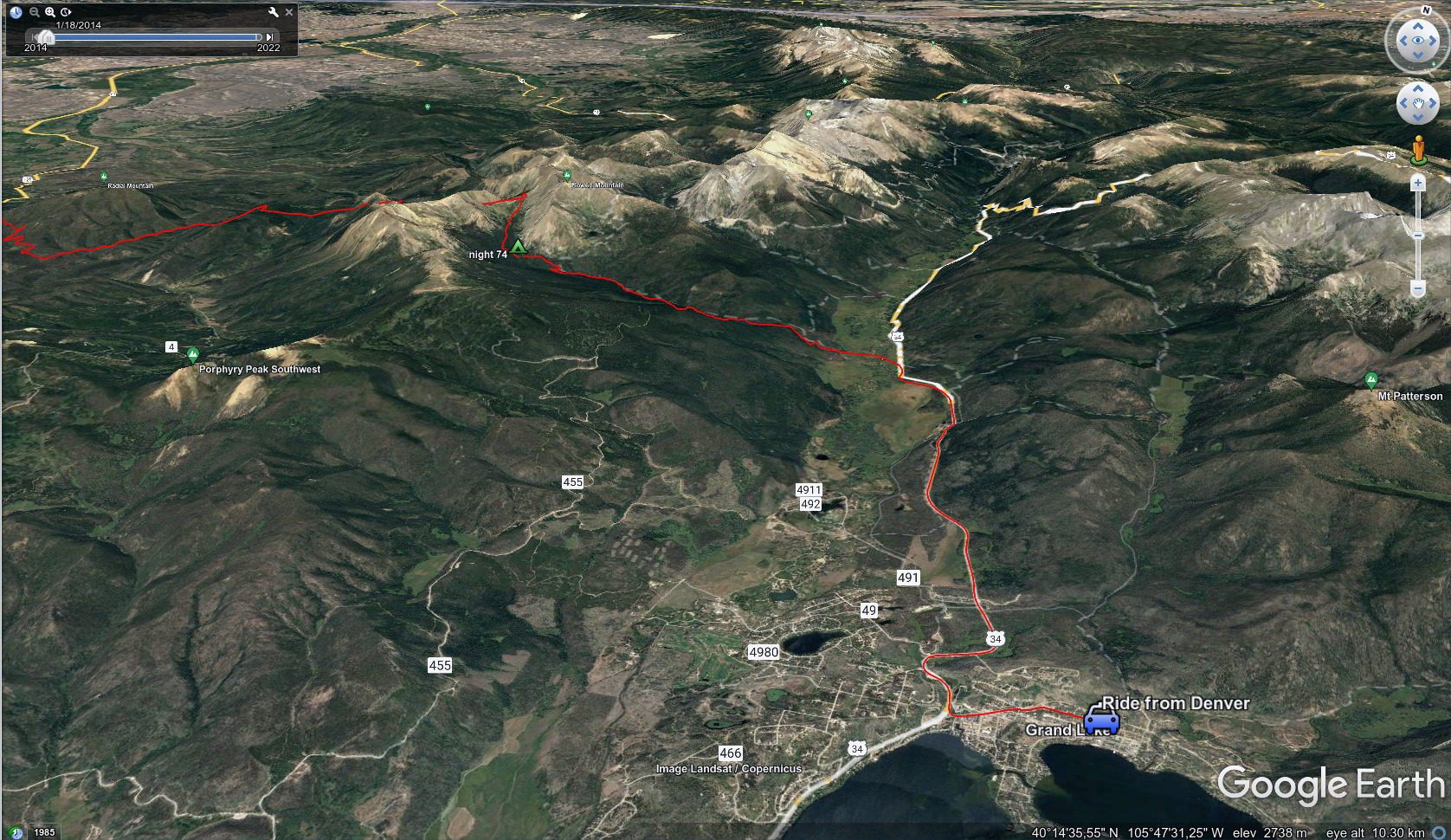
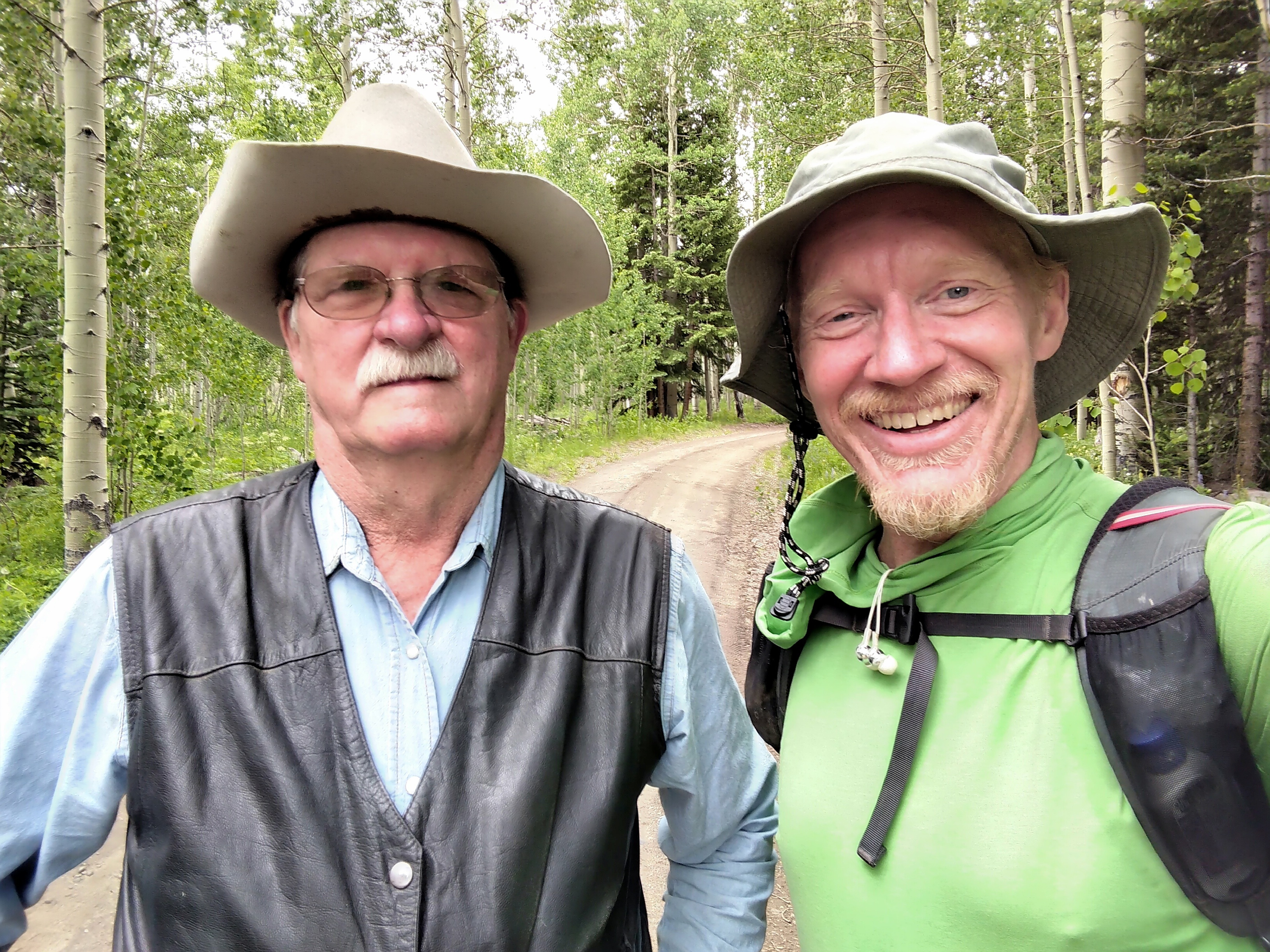
My nephew Stephen drops me off in Grand Lake.
Stephen brought me out here. He had learned to ski in Steamboat Springs, so he found it interesting that I planned to walk there from Grand Lake. We got a beer and some appetizers, then said goodbye until next time. I'm so glad I got to see him.
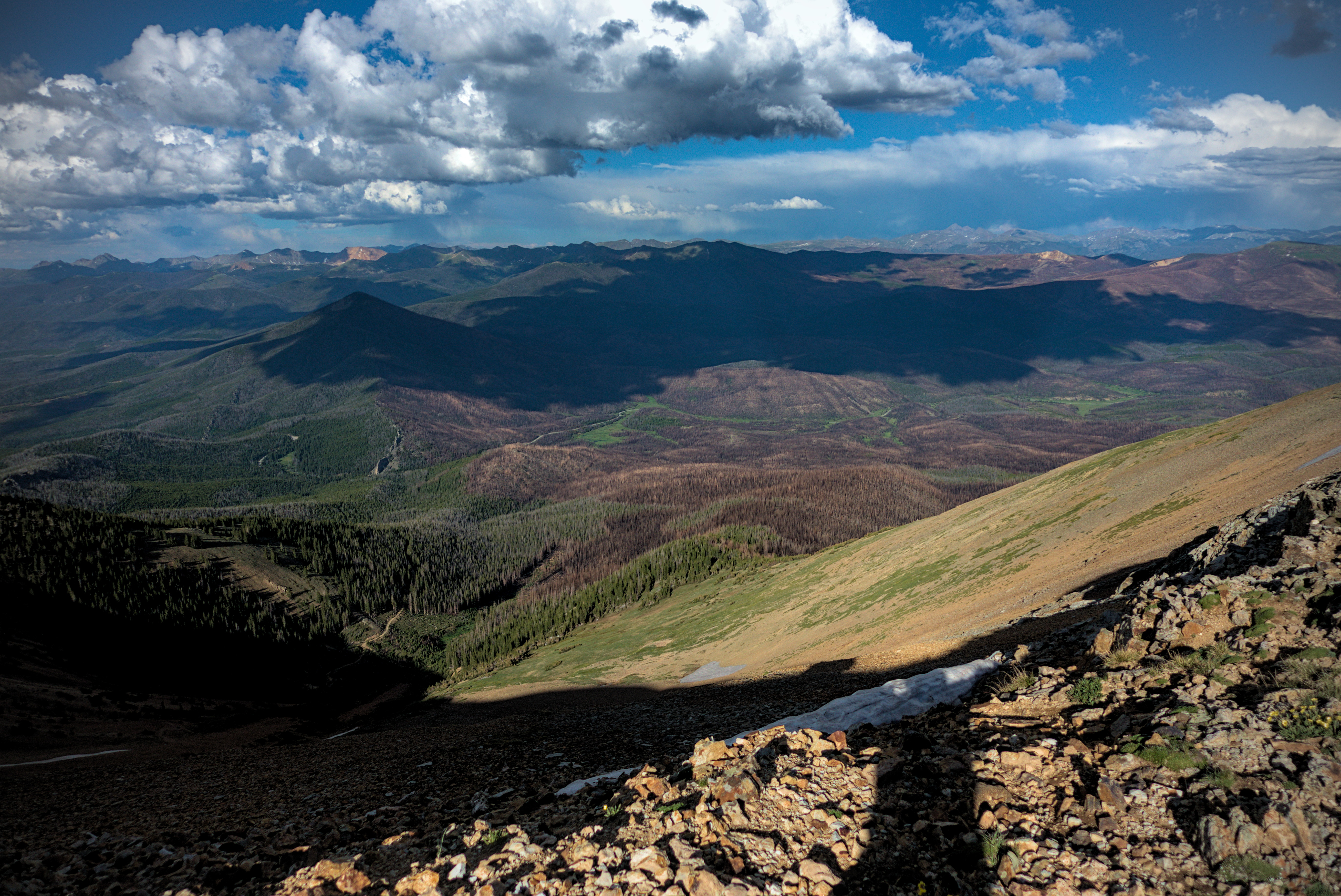
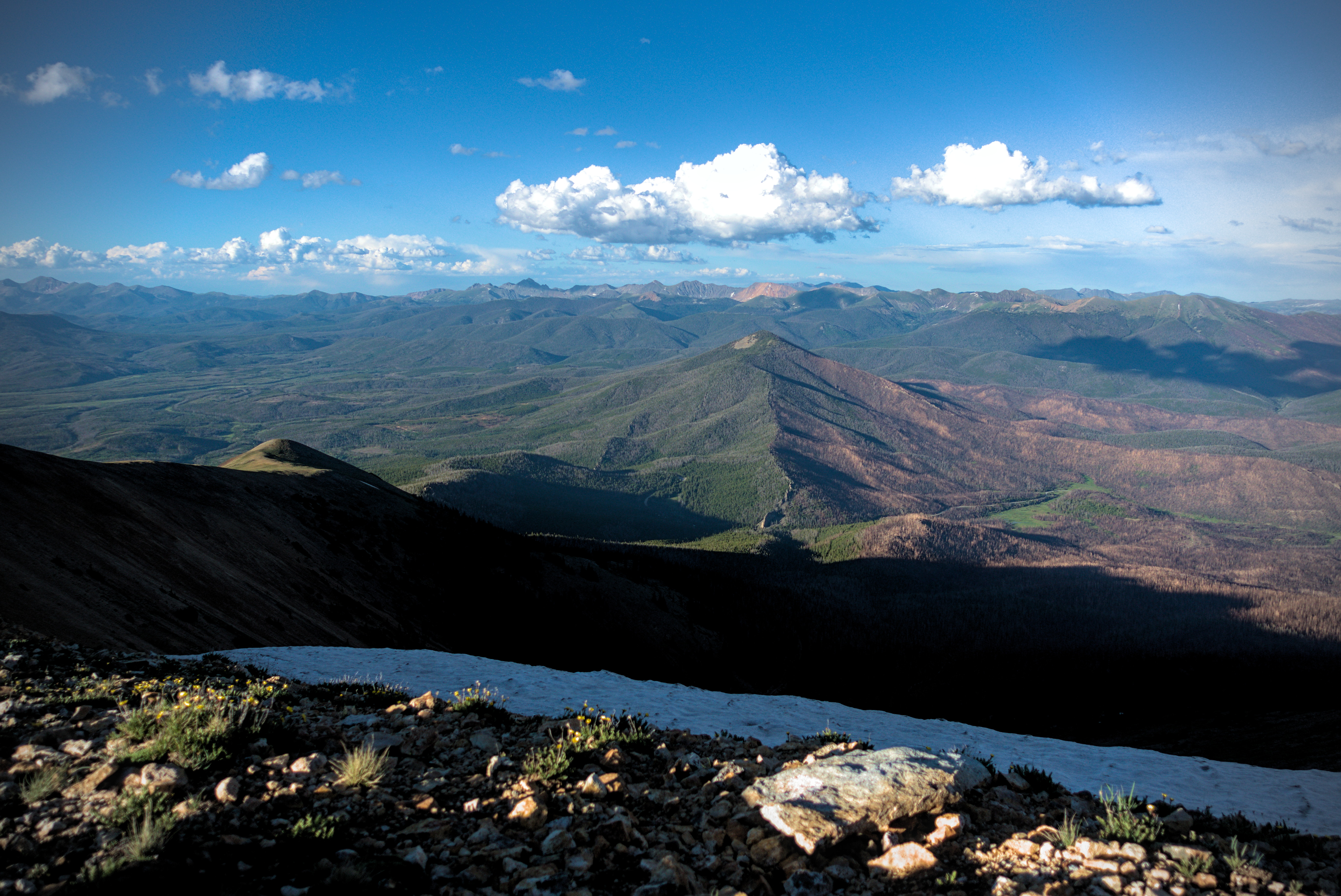
Due to a fire last year, I had to walk road up to the boundary of the Rocky Mountain National Park. A ranger told me I wouldn't have to pay the usual 30 dollar entrance fee, since the CDT trail in the park was closed. That was nice. My view was dominated by peaks of the Never Summer Wilderness, so named by Native Americans in broken English in 1914 ("never no summer mountains"). It is a good name! They held much snow, and were backdropped by dramatic dark clouds.
I had to wade across a river to get into them, cursing at getting my shoes and socks wet for the evening, but the trail climbed slowly enough into timber beside a rushing stream. It started to rain just as I reached campsites. I hurriedly set up my tent beside Axel and another hiker called 70 Pound Hammer.
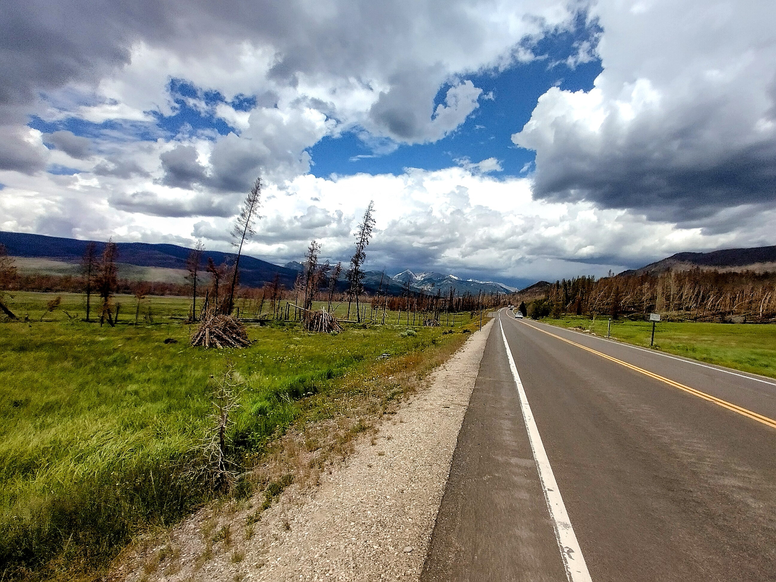
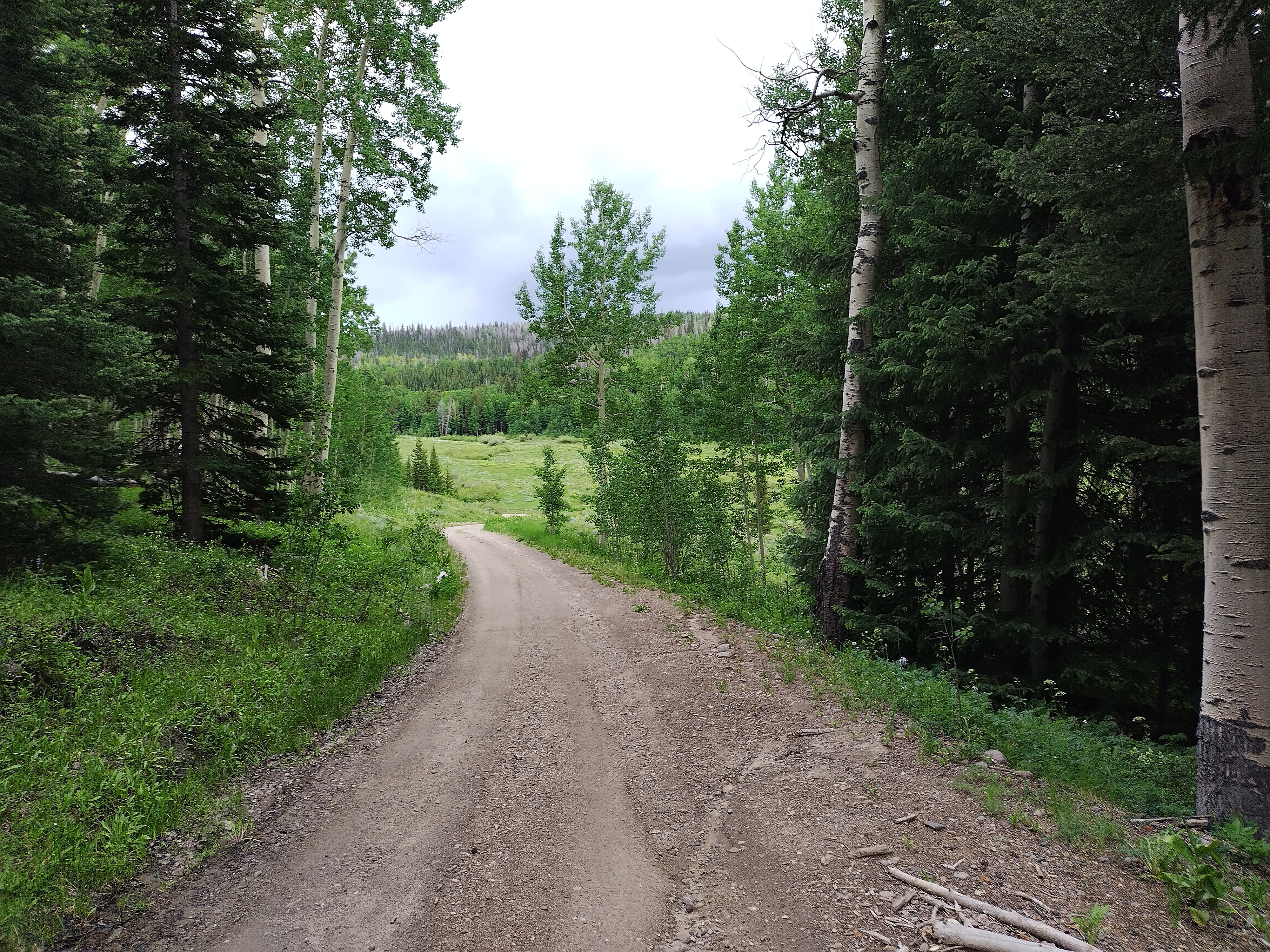
Walking the road out of Grand Lake, making for the
Never Summer.
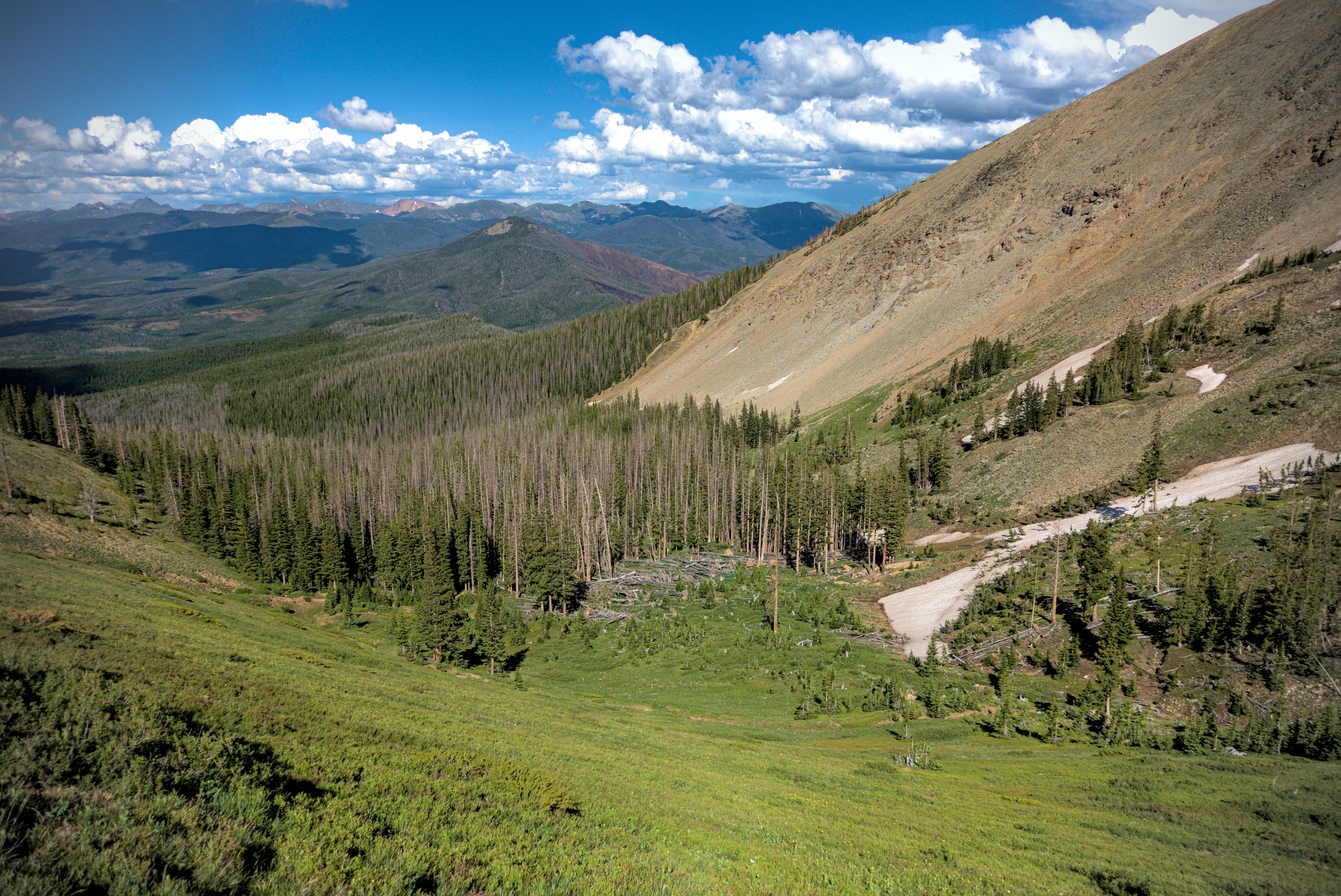
The Never Summer Wilderness. I'll camp somewhere in there.
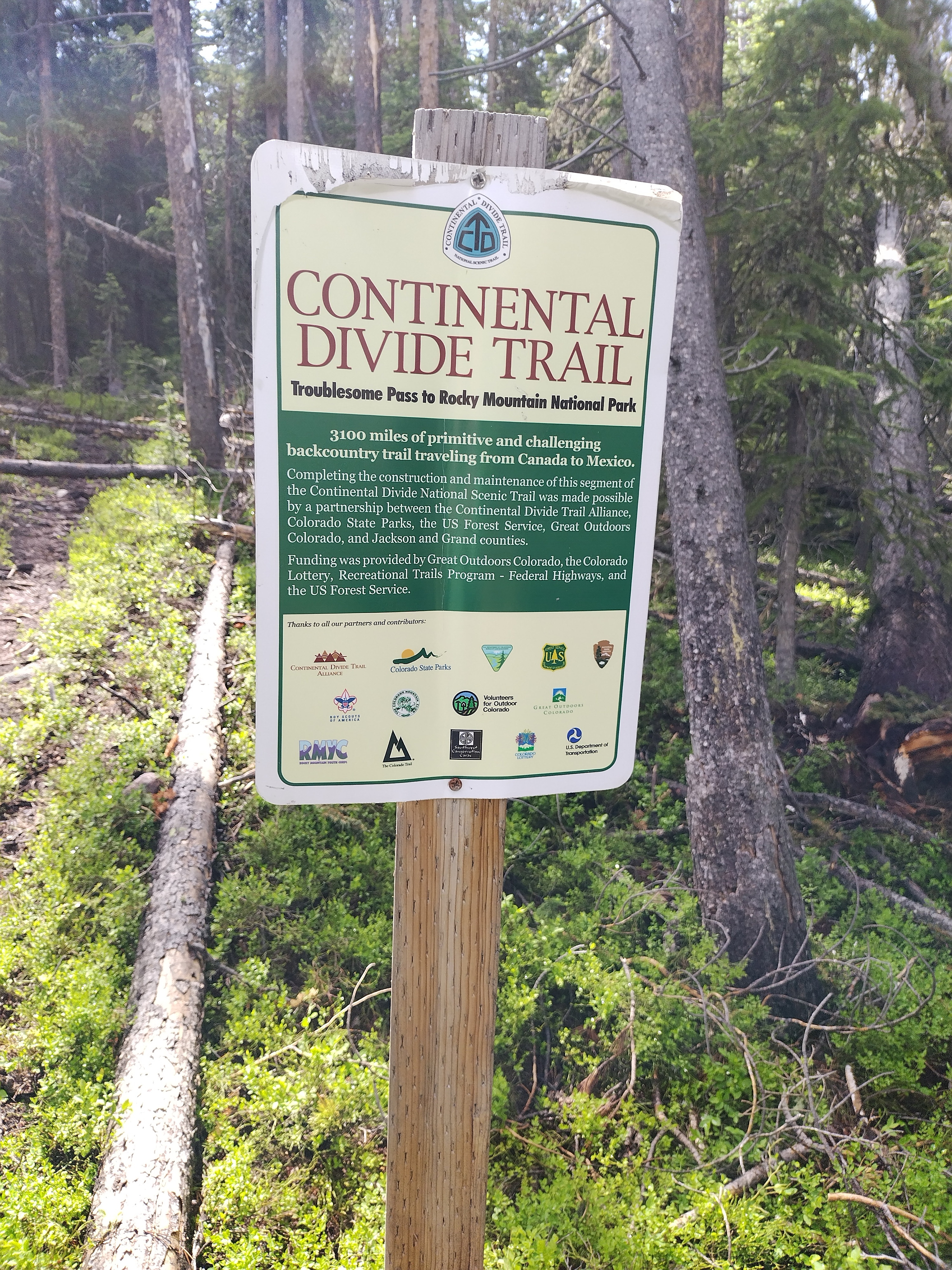
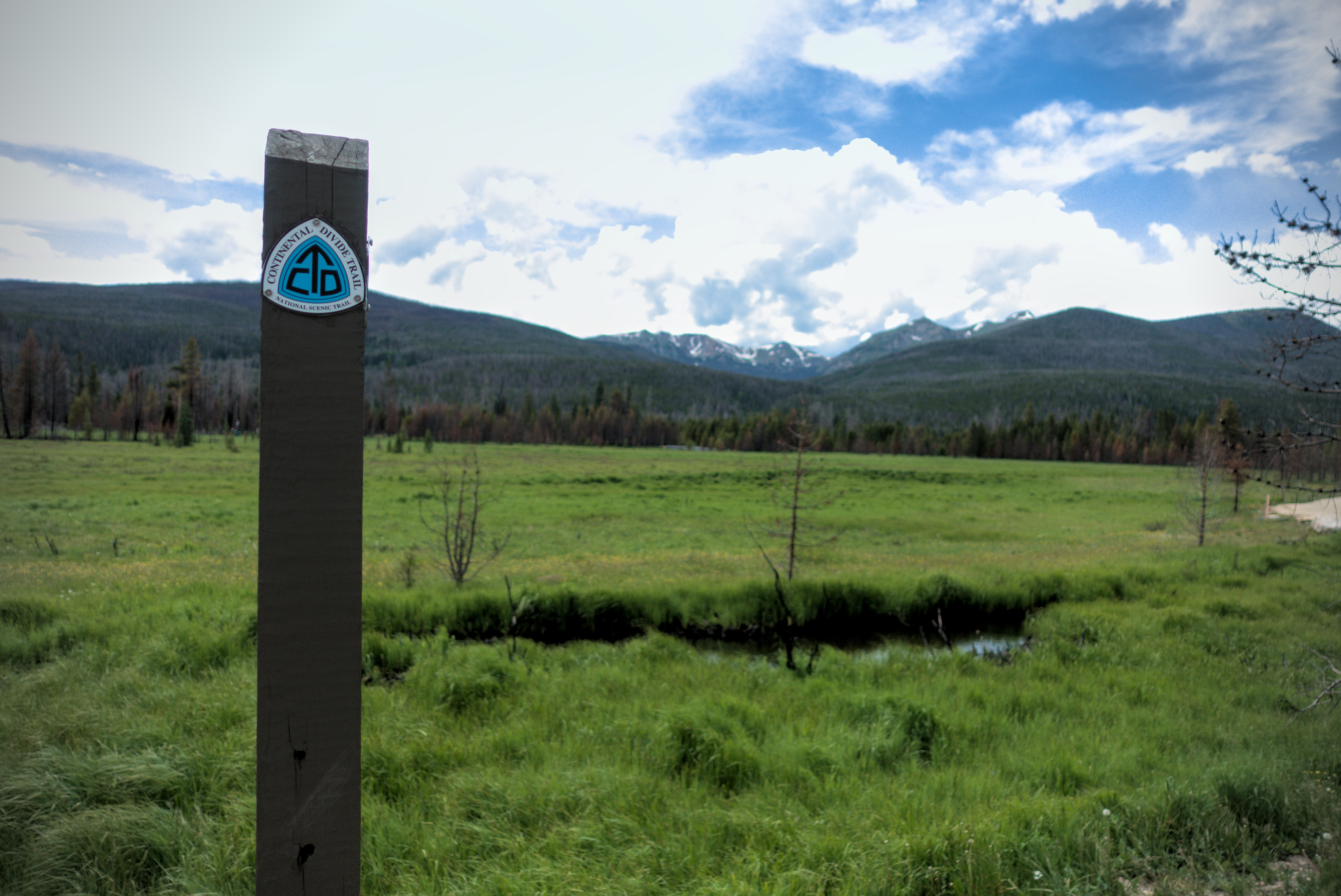
A trail sign talking about this section.
The rain lasted most of the night. I was happy to have a sponge to soak up condensation on the inner wall of my tent. Still without an appetite, I ate no dinner, which worried me because I needed to climb 6000 feet the next day (over 2000 meters).
July 4, Day 75, 18.5 miles
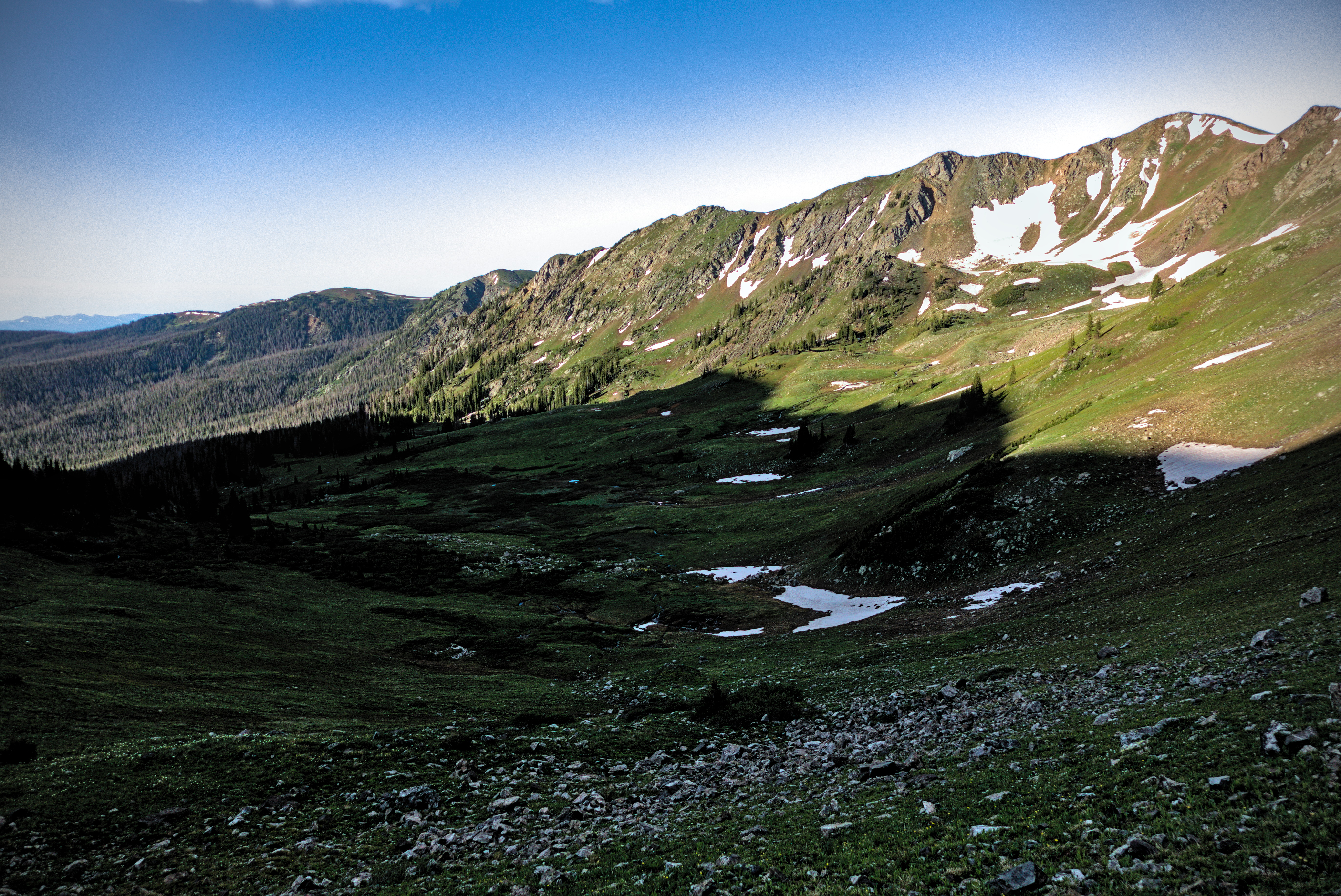
In the morning, I packed up my soaking tent, and climbed to a pass with broad views. Over the next hours, I traversed alpine basins, then descended to a motorcycle trail in an intriguing narrow valley with lush grass and burned trees. Here, I hung and dried my tent in the sun. This is so important. If you don't achieve it, then the next night will be very unpleasant, because your sleeping bag will get too wet. It's amazing how the stress disappears when you see your tent drying out!
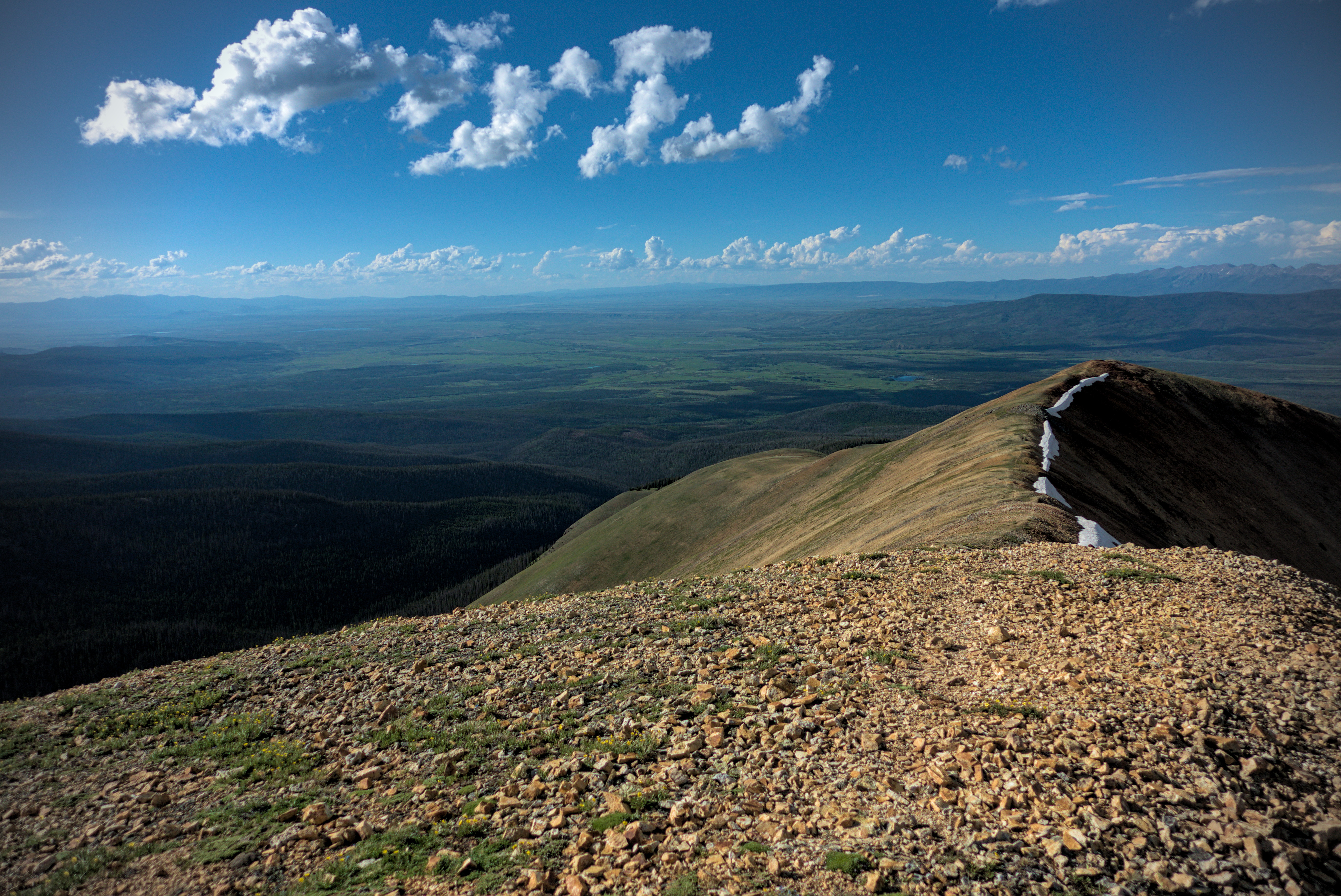
I crossed a road and started up a big climb to Parkview Mountain. Moving slowly, I was impressed by the scenery despite a feeling of exhaustion caused by a lack of calories. This summit is the highest point on the CDT remaining. It towers over all country to the north, rolling away in green and blue waves of remote nature preserve. The early evening light made the contours of the land beautiful.
From a wet camp in the Never Summer to glorious evening
on Parkview Mountain.
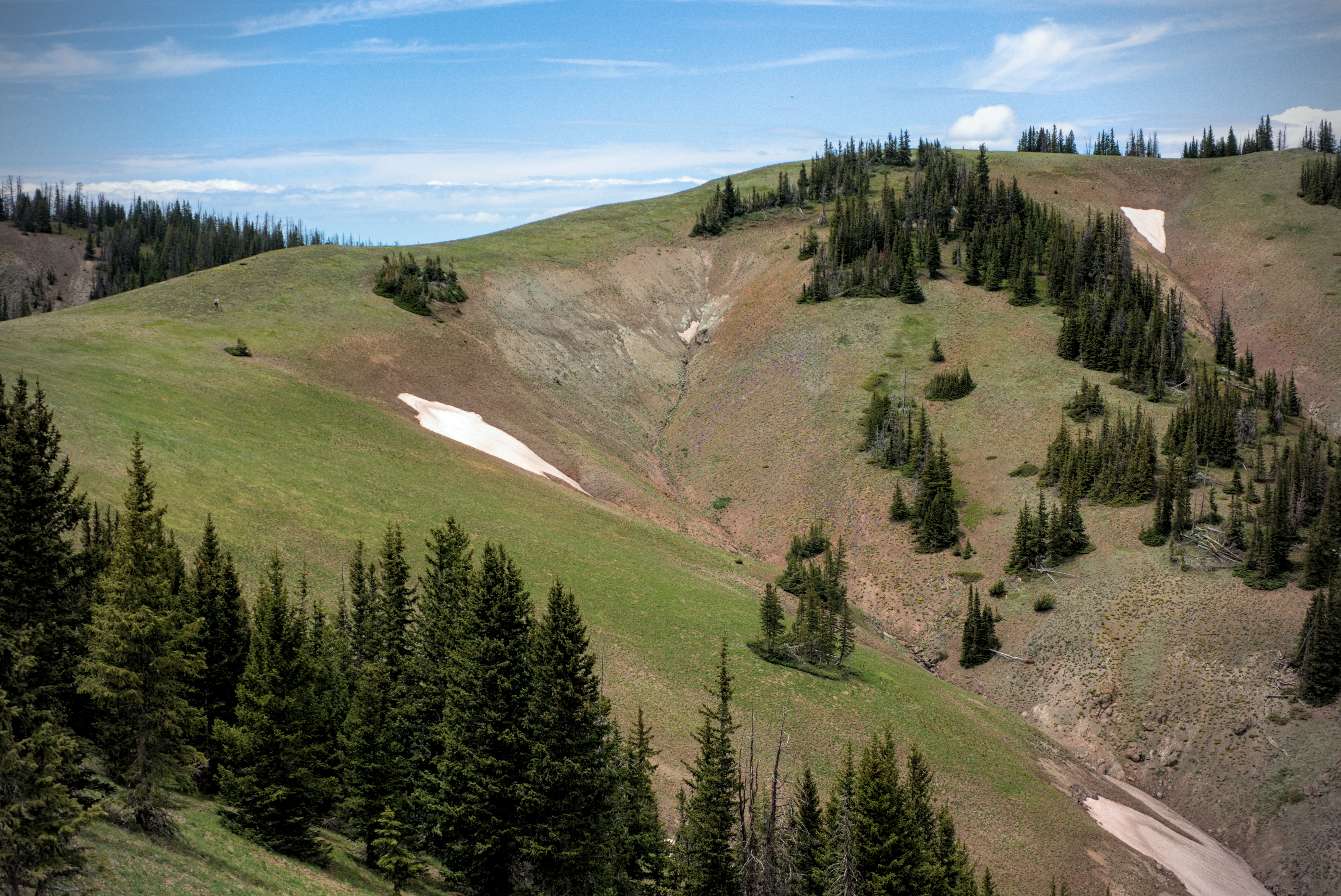
Dropping into the basin between Farview and Bowen Mountains.
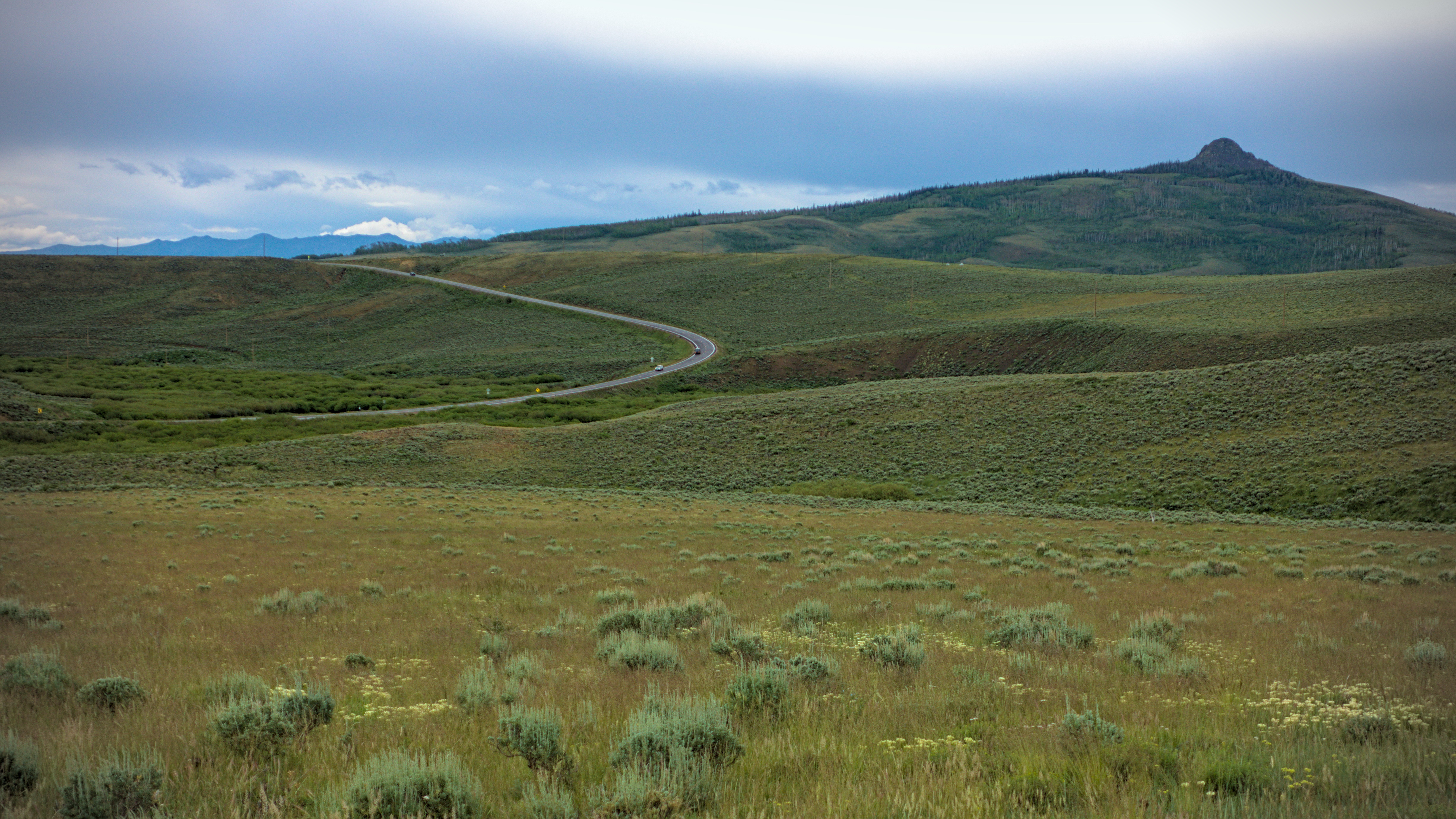
Beautiful winding way on the ridge between Jackson and Grant
Counties in the Routt National Forest.
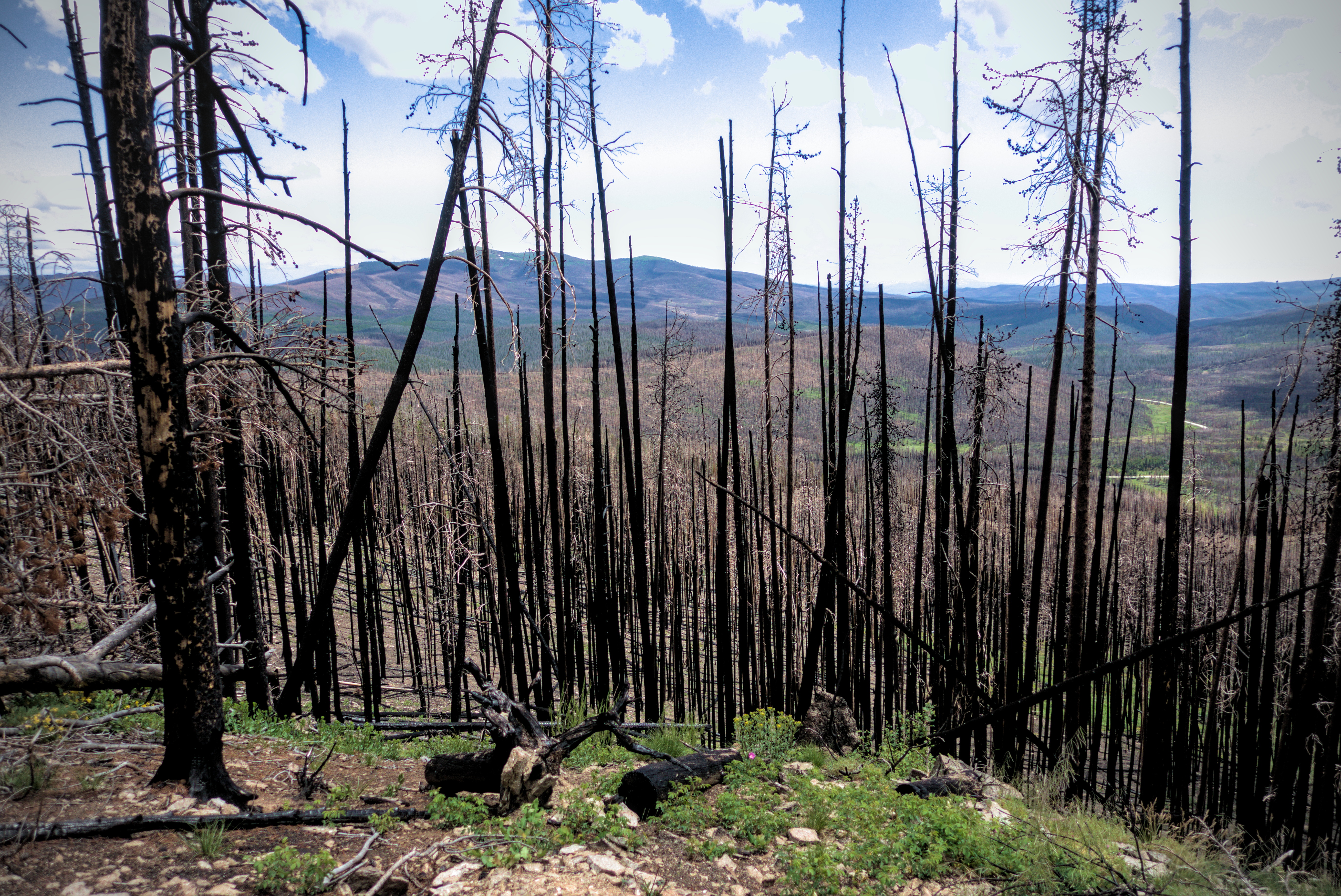
Burned forest southeast of Willow Creek Pass, under Radial
Mountain.
Looking back east on the Top of the World trail in upper Parkview
Creek.
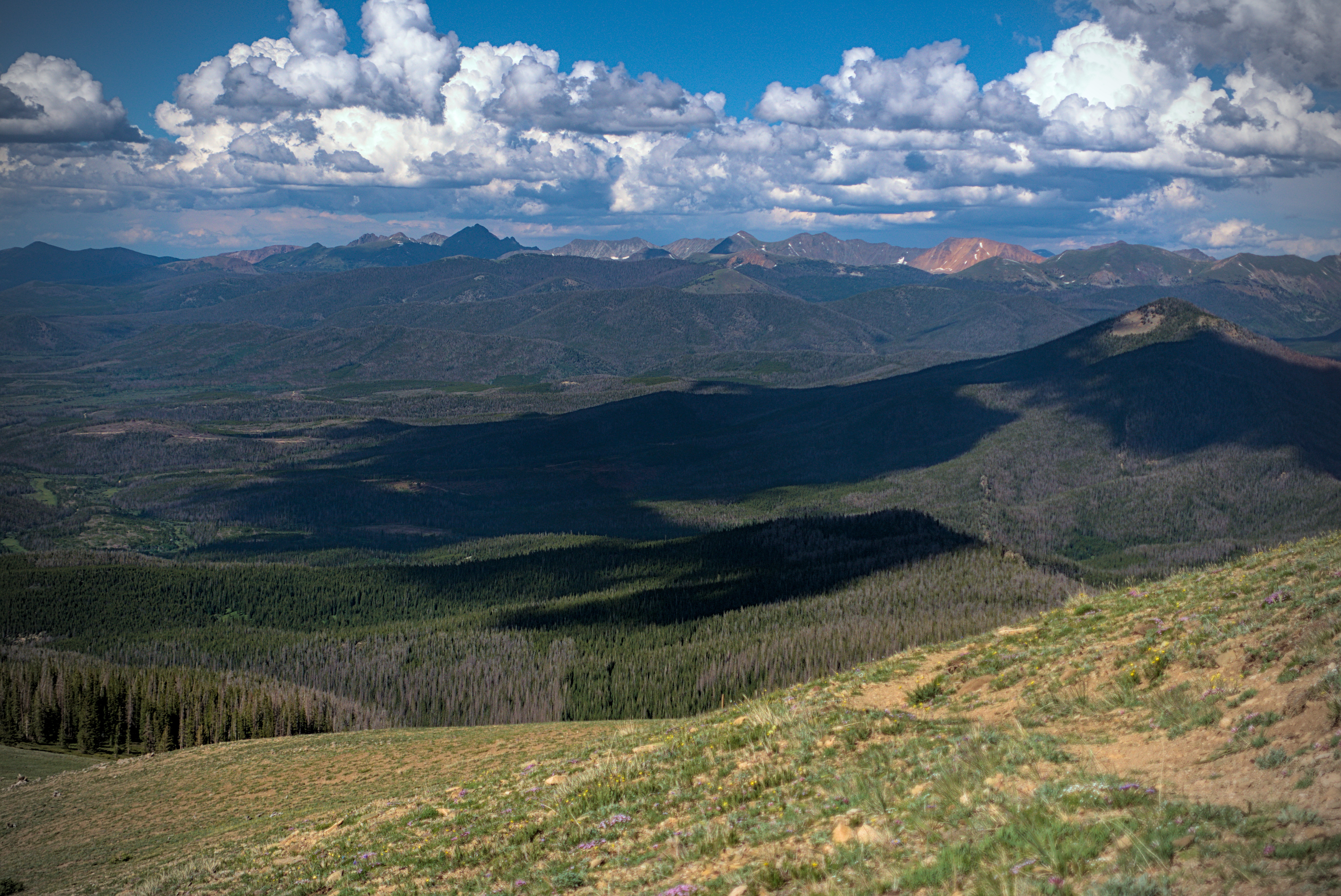
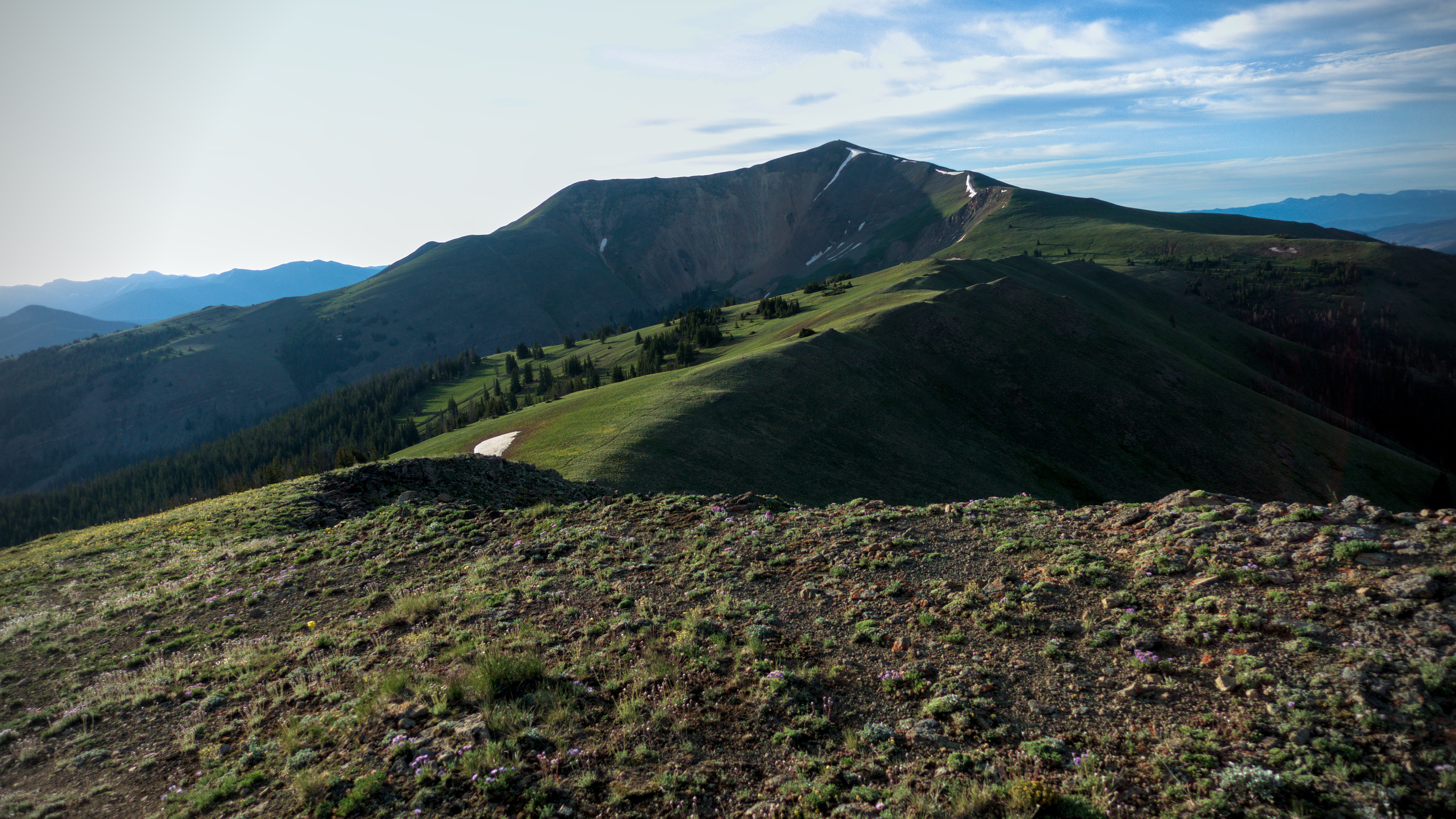
Similar, but zoomed in to the Never Summer Wilderness, where
storm always seemed to brew.
Getting higher on Parkview Mountain.
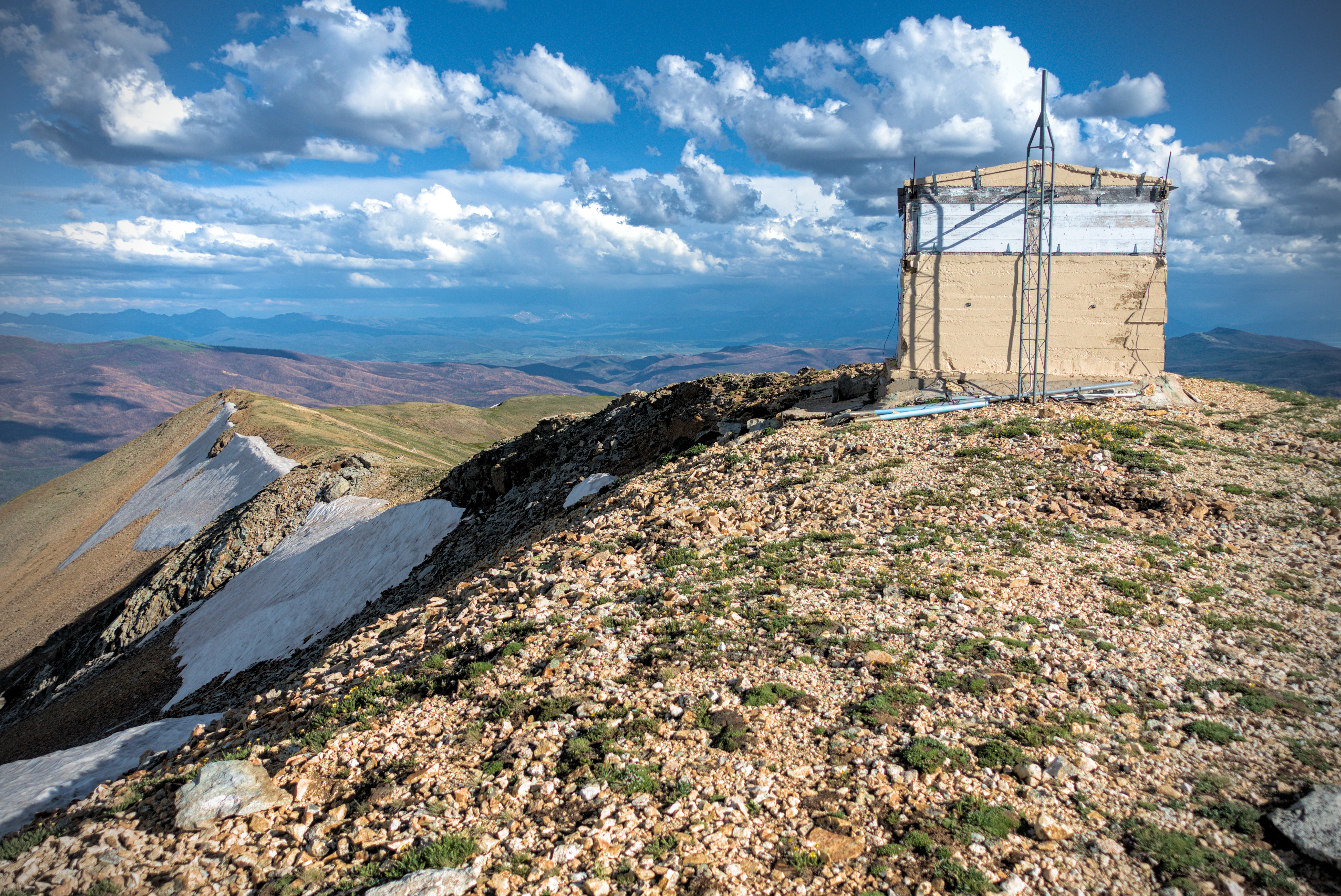
On the summit is a small shelter, which I had to sleep in, of course! Marmots lived underneath, but didn't disturb me. It was quite warm inside, though I slept poorly for some reason. I was able to eat half of my dinner tonight, forced to bury the rest of it the next day.
Really gorgeous country.
More Never Summer.
Parkview Mountain is just enormous, with vast arms at
the compass points.
The last bit to the lookout on the summit.
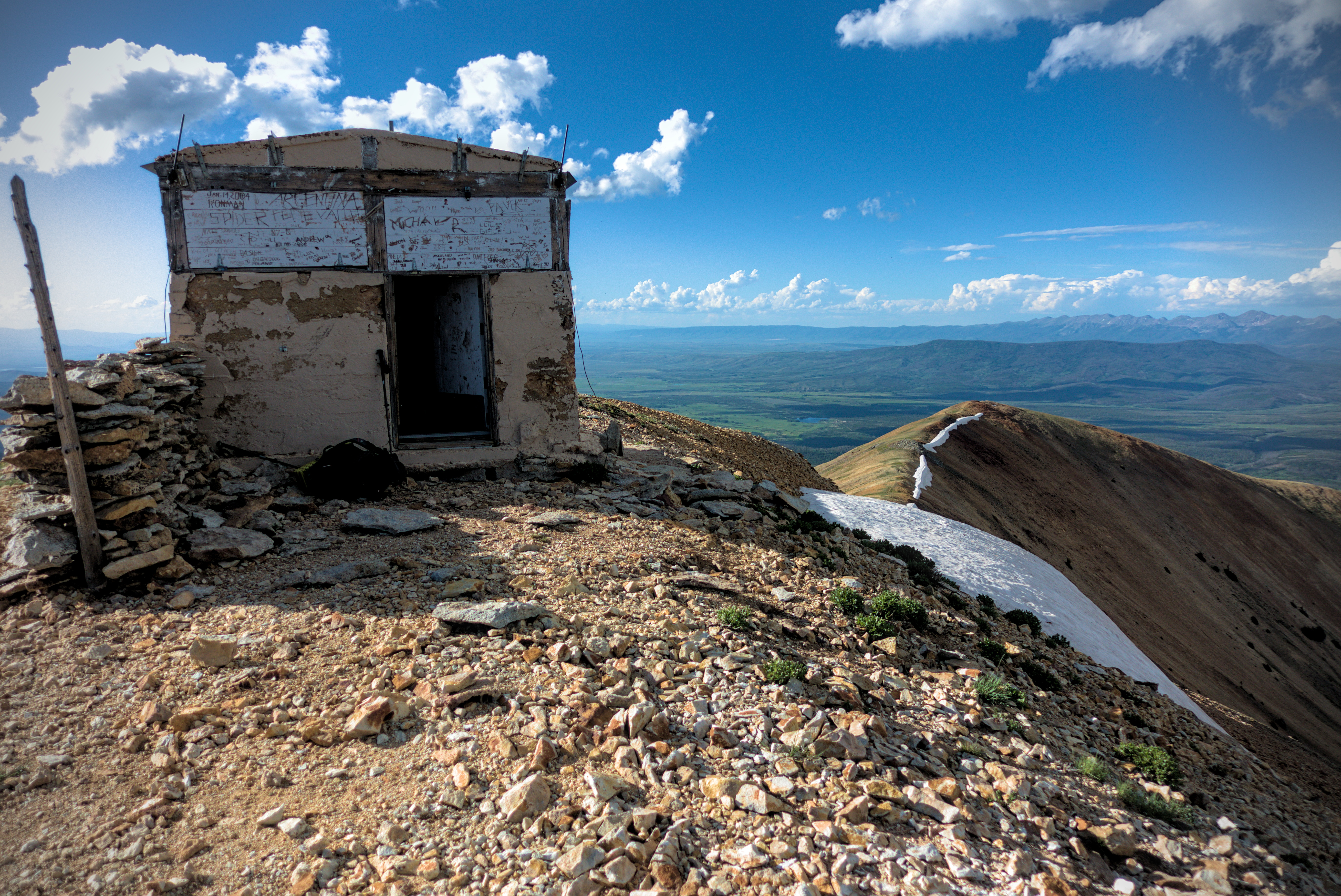
Home for the night!
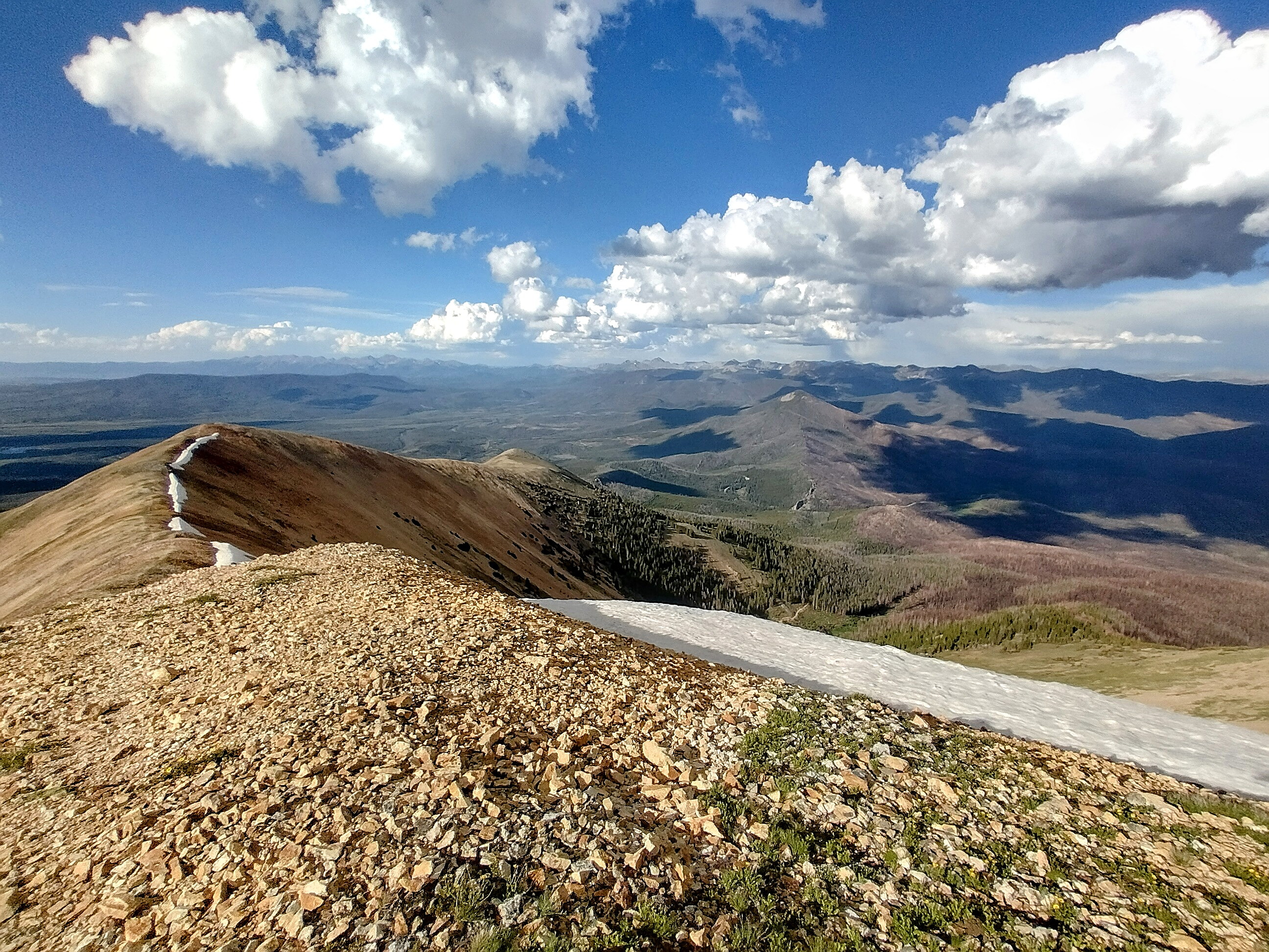
Parkview Mountain never stops giving good views.
I hoped to see fireworks in the evening!
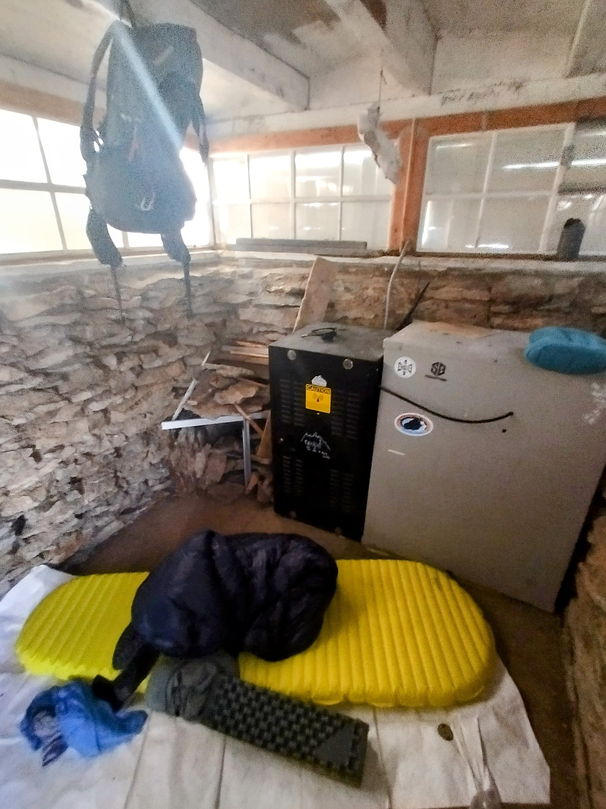
Inside the lookout, it was warm and nice. You can see a
"Seeking Lost" sticker on the black box.
A view off to the north. I thought a person was coming,
but it was a stick or something.
A view back east to Radial Mountain.
A view north to Wyoming.
A marmot family lived under the lookout.
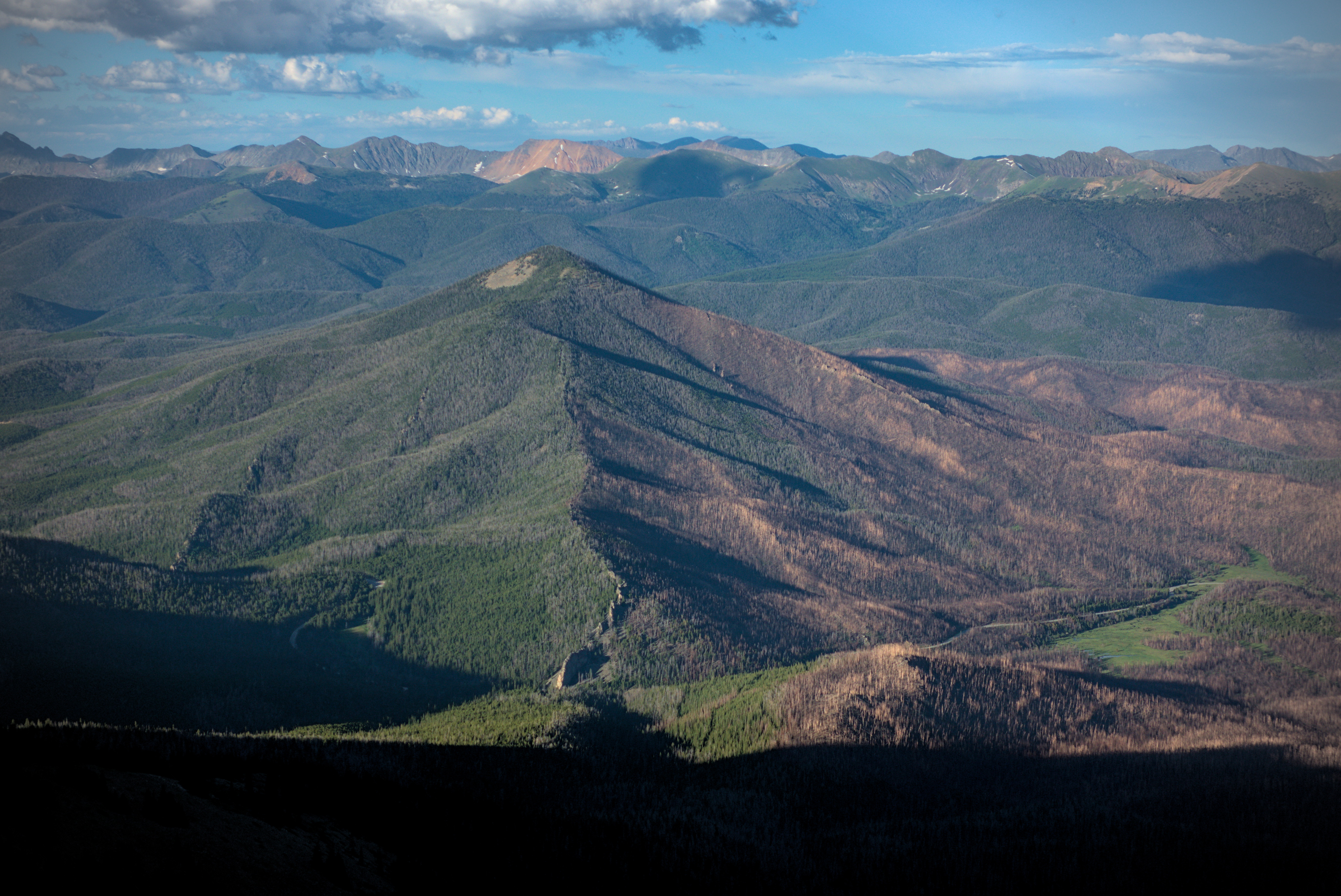
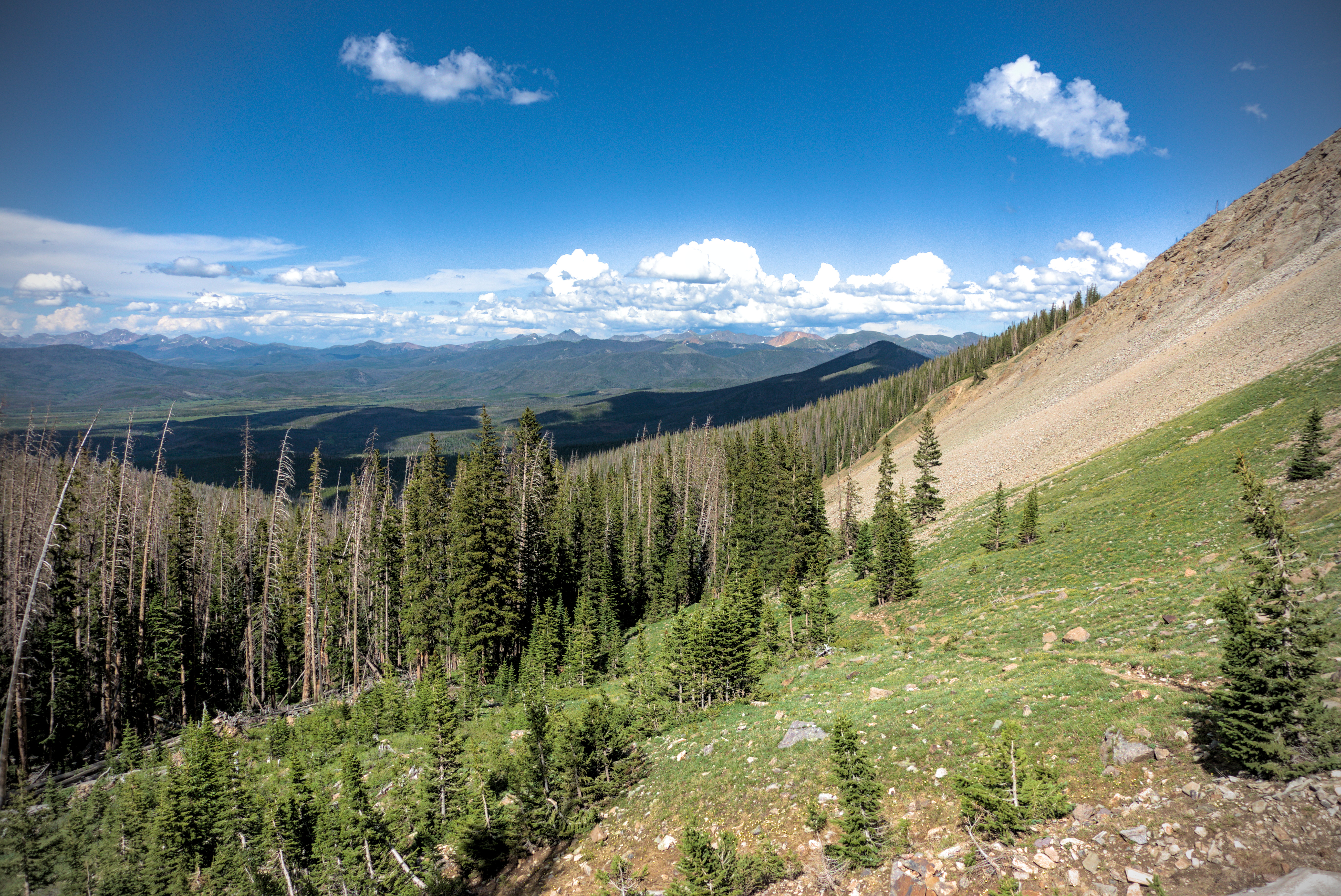
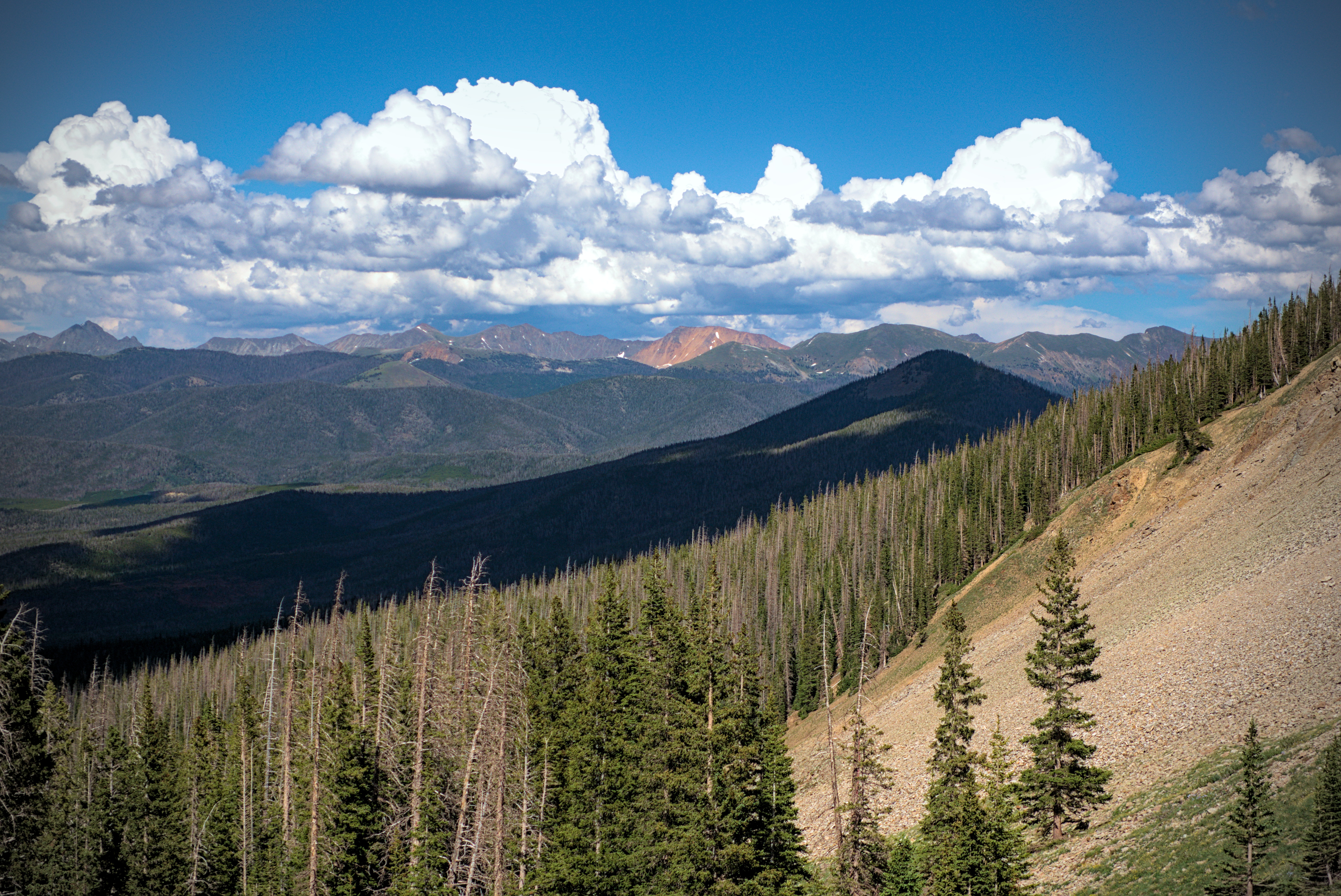
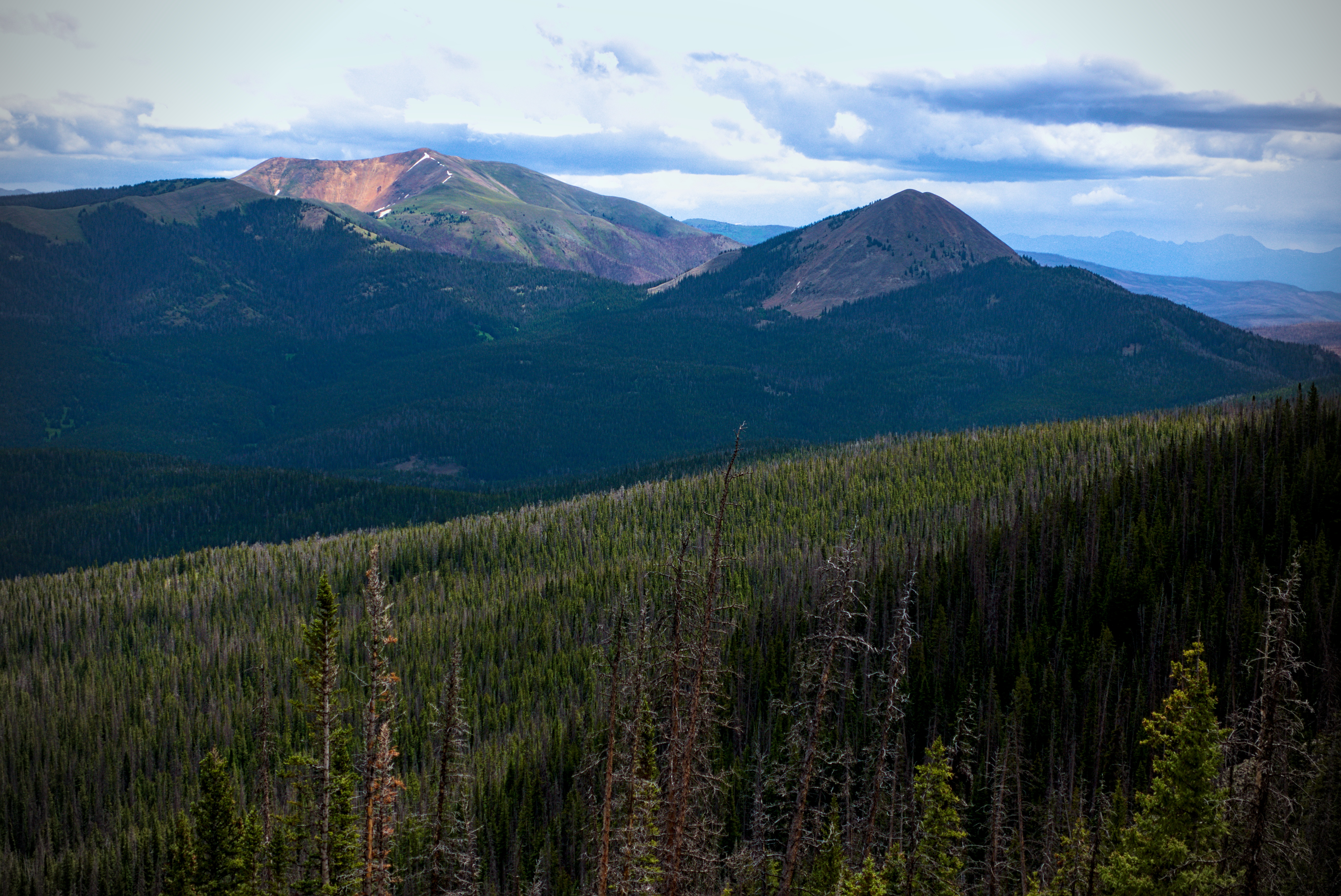
Radial Mountain and the burn area with peaks of the morning
behind.
A similar shot.
July 5, Day 76, 15.2 miles
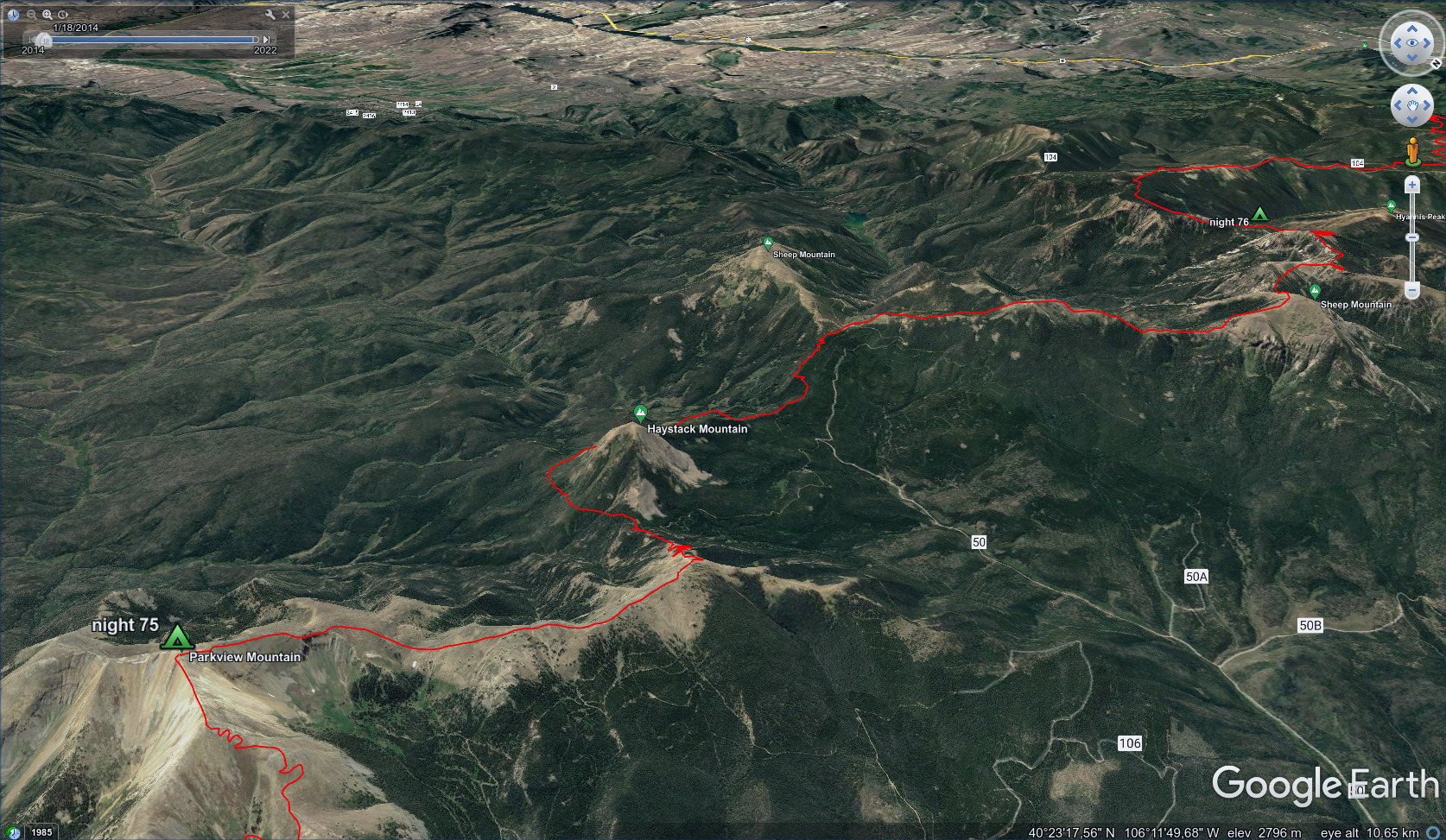
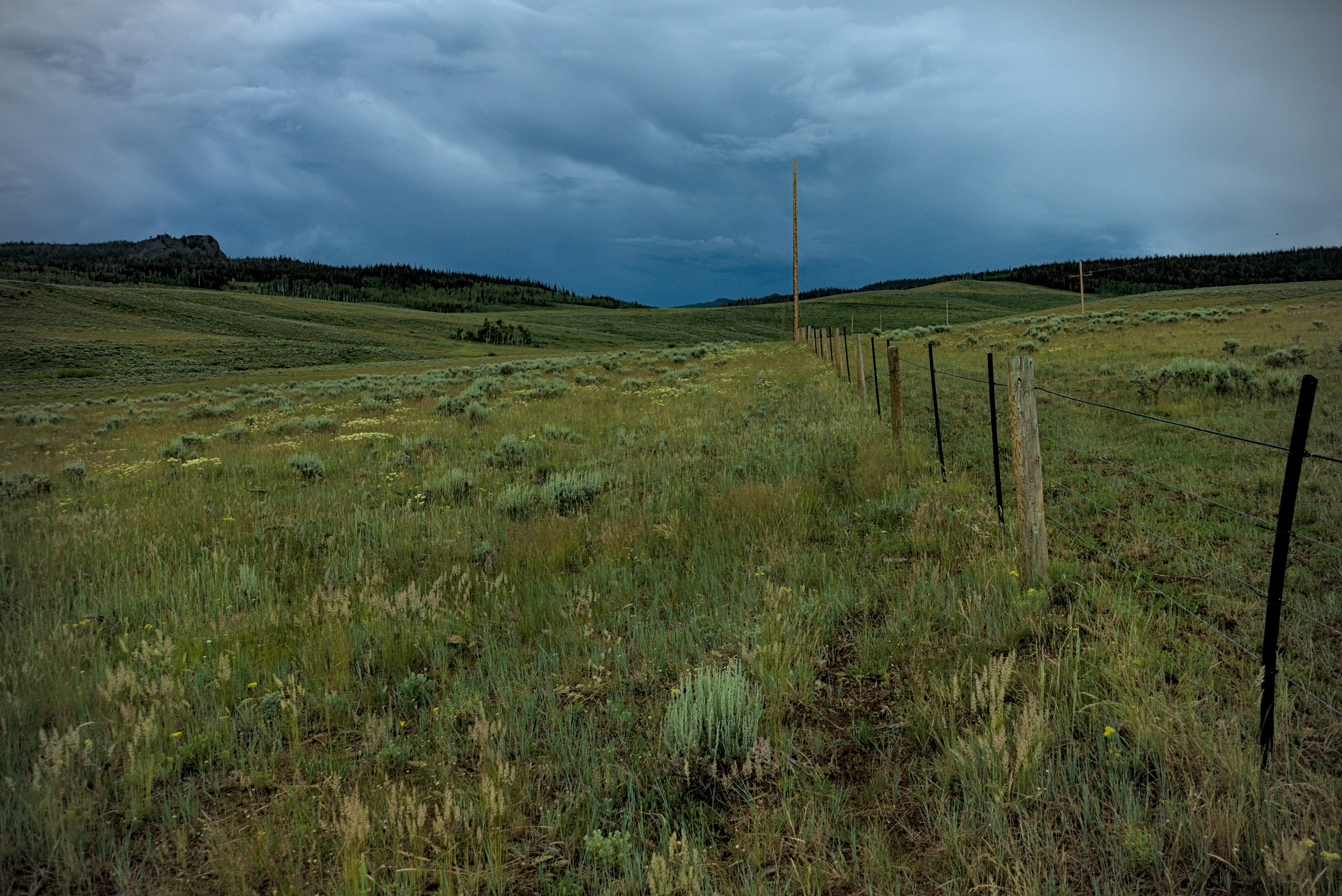
From Parkview Mountain I head west, running before
a storm emerging from the Never Summer in the east.
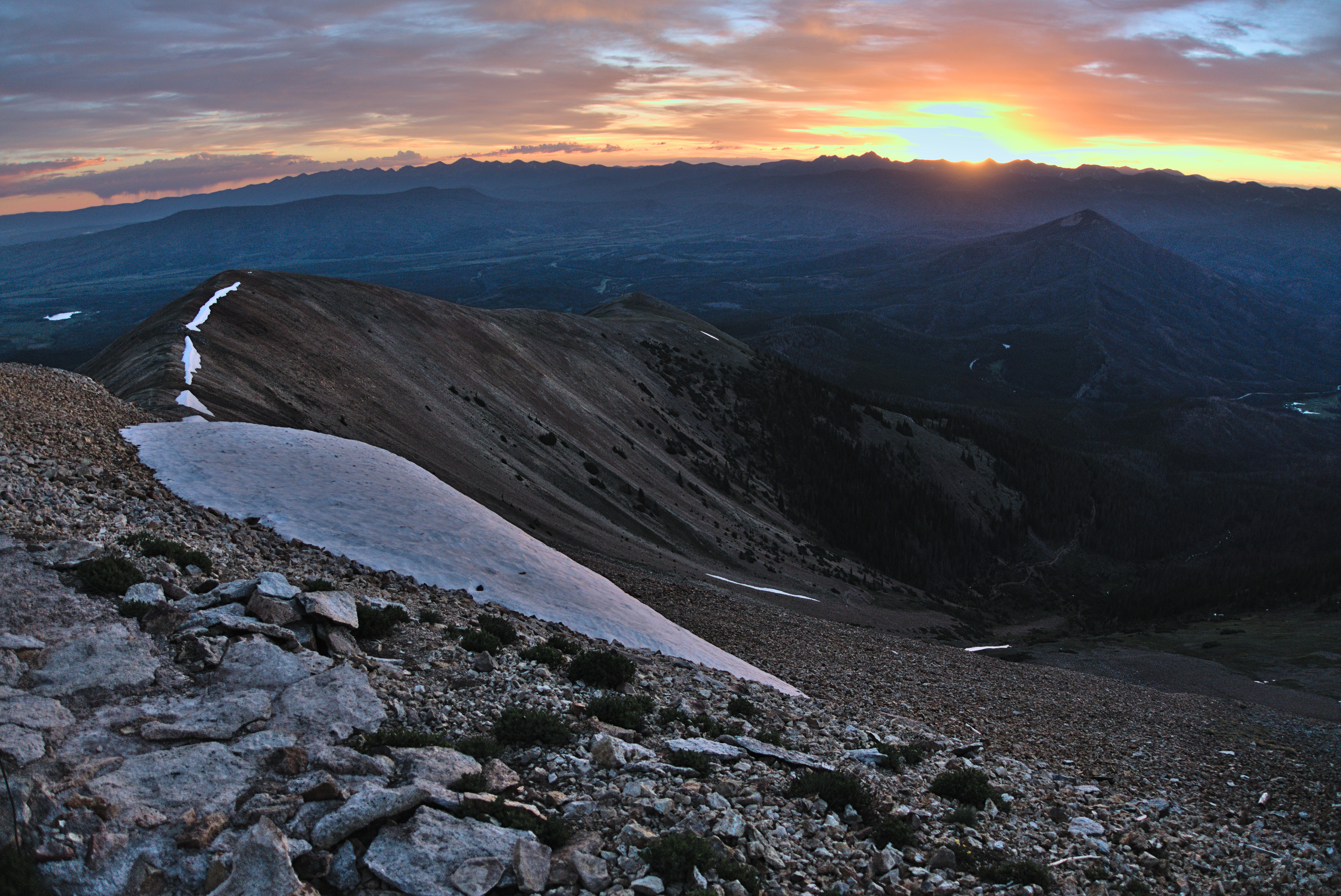
A last look east at sunrise.
My way ahead...into the west!
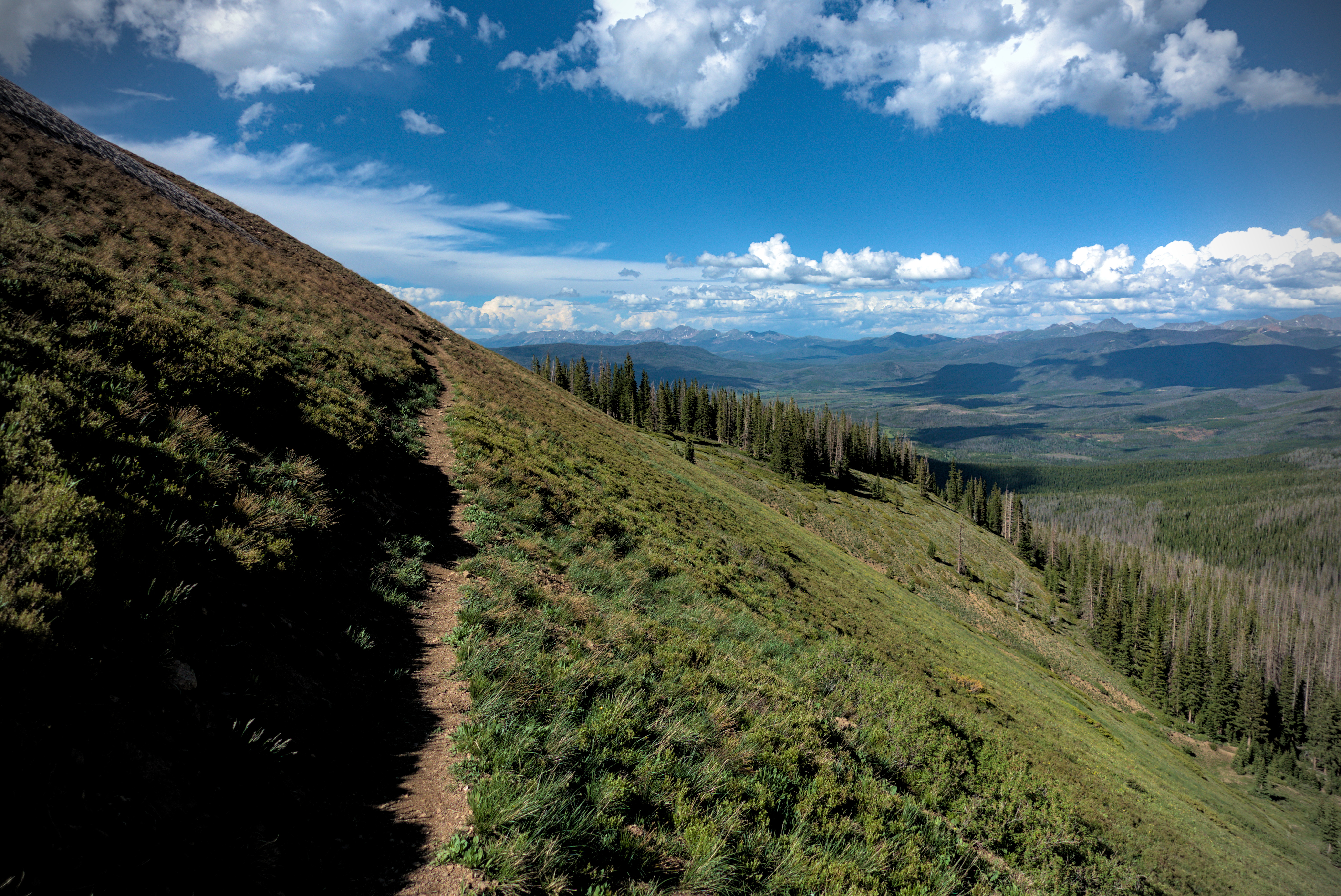
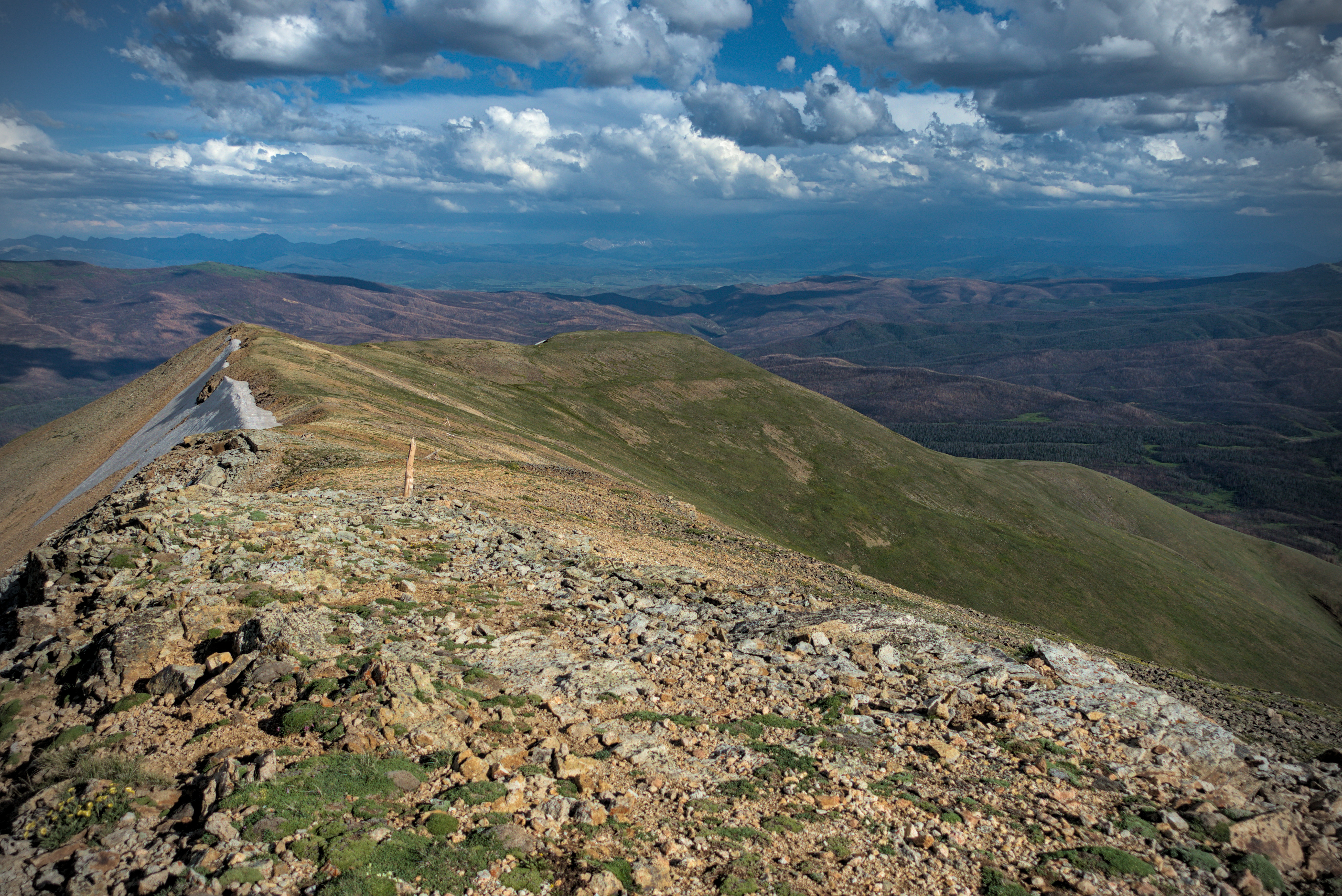
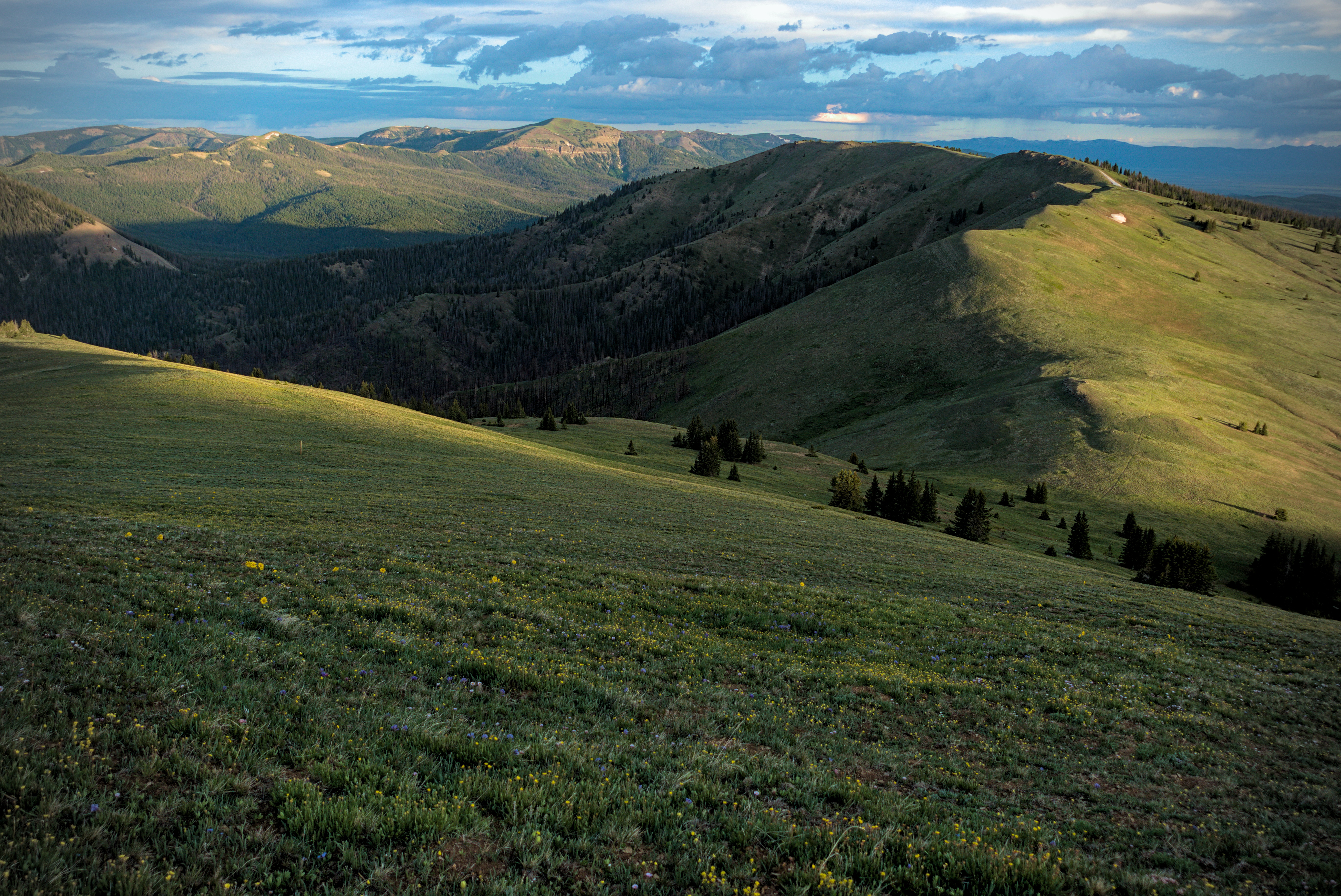
My way leads along the ridge above, following no trail, just the border of light and shade. Often the CDT is like this. You need to be interested in following natural lines, because there won't always be a trail. Sometimes footprints remind you that you have the right idea...
I was exceptionally thirsty by the time I reached the first water source of the day, in a burned forest off to the left in the picture above. I stayed and drank two liters. Water was becoming scarce again, like in New Mexico.
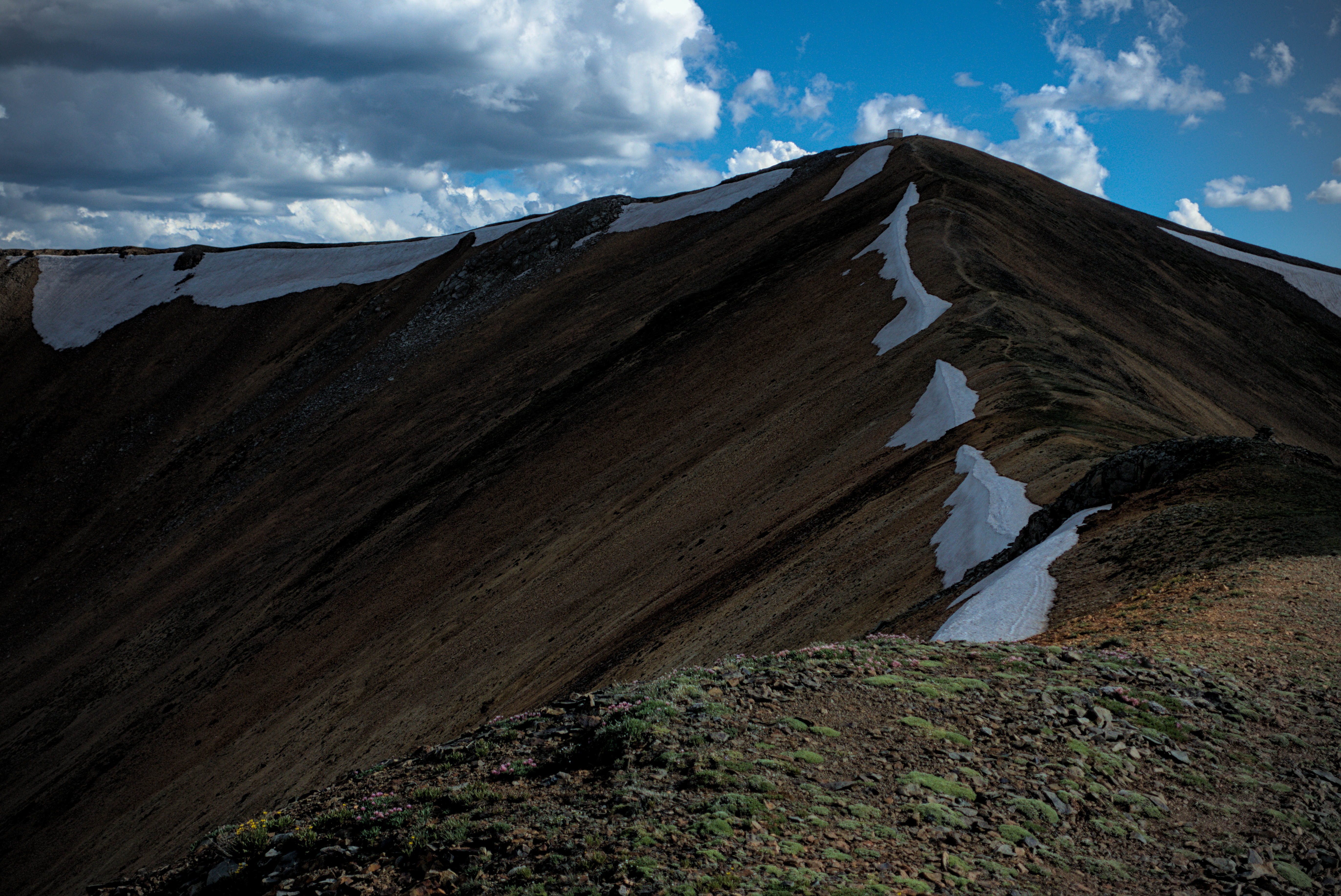
Looking back up to Parkview and the tiny summit house.
Looking back to Parkview from later in the afternoon.
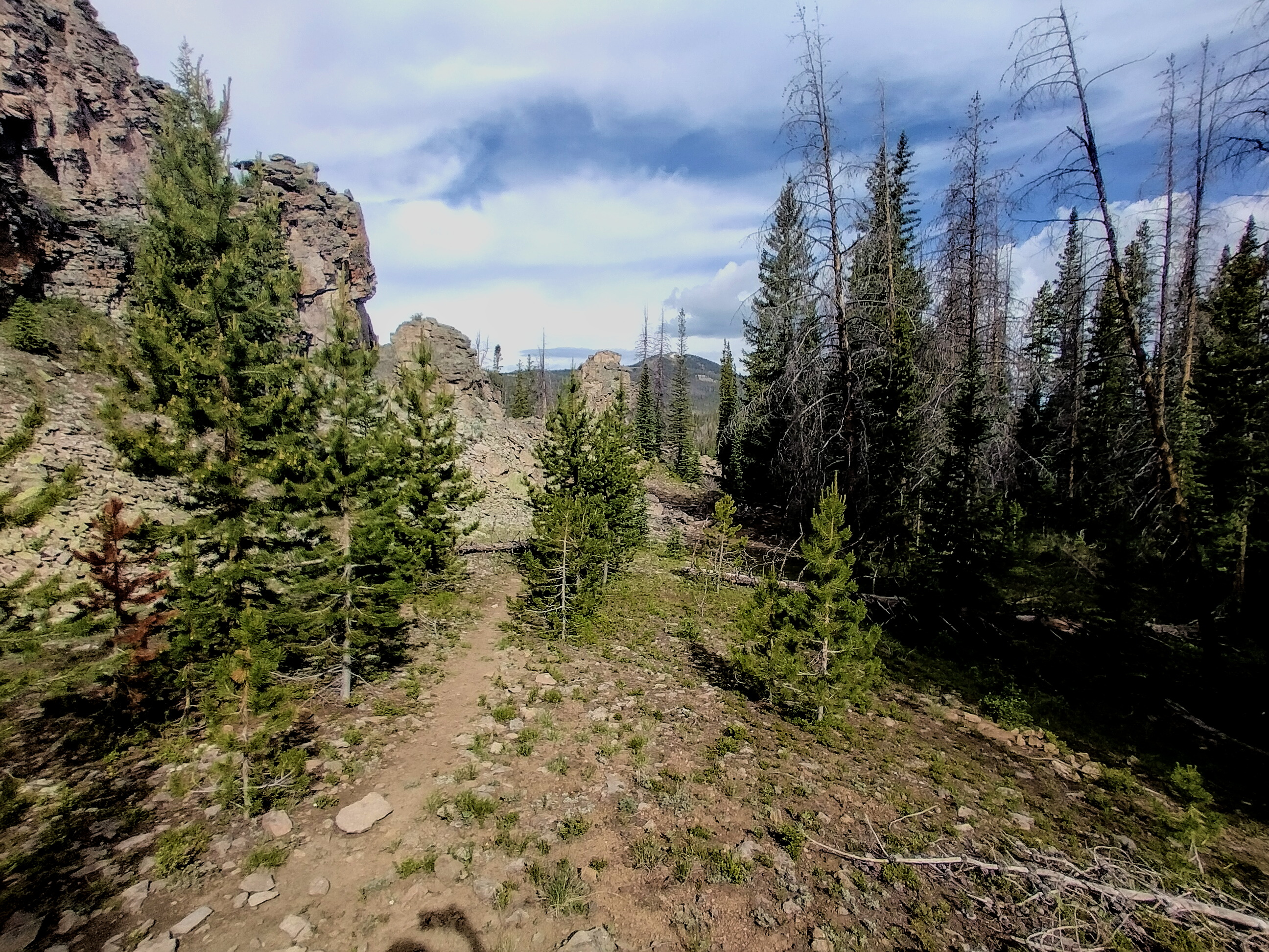
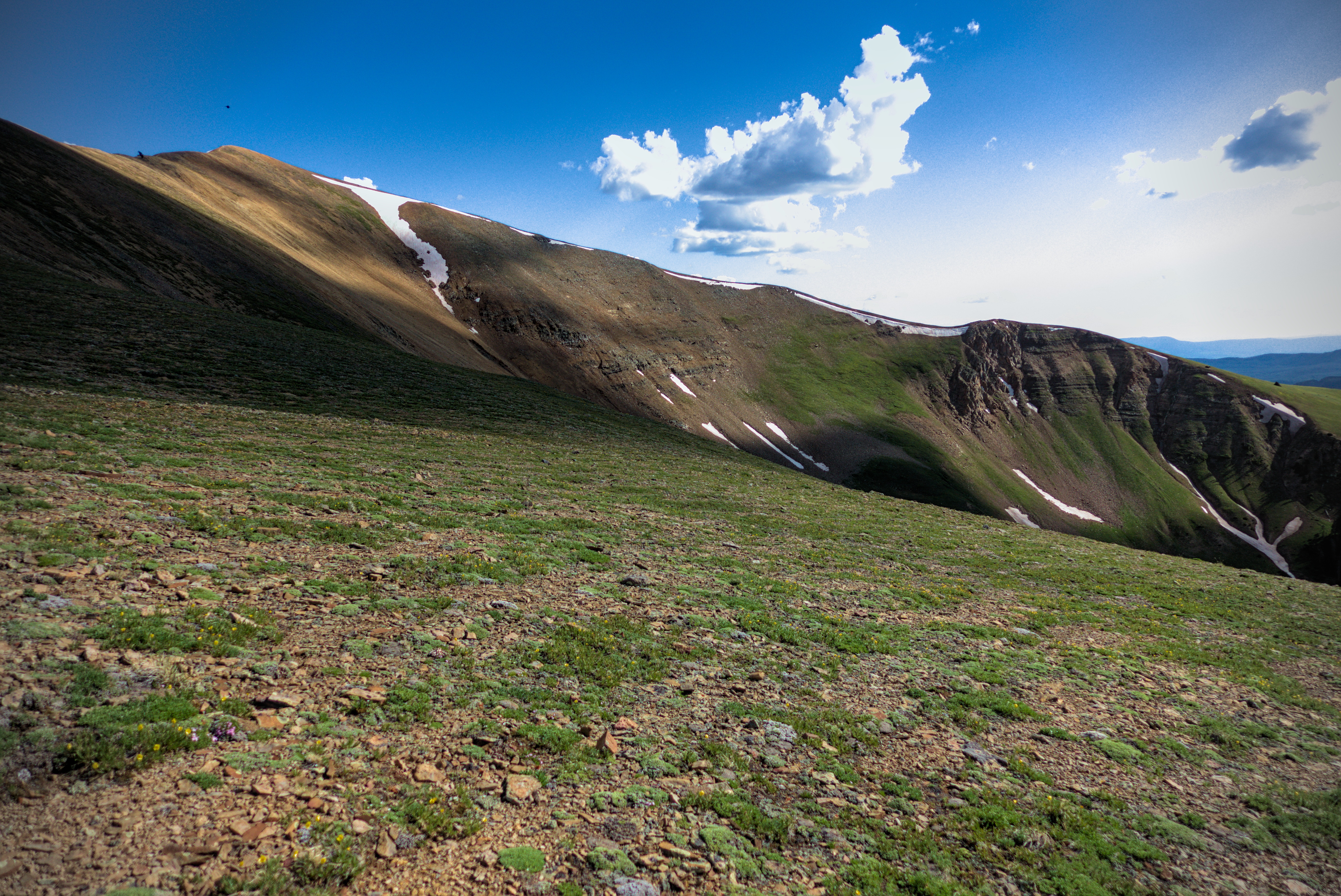
An interesting rocky outcrop a bit east of Troublesome Pass.
Upper slopes of Sheep Mountain. If you zoom in, you'll
see trusty hiker Google marching along.
I climbed up the shoulder of the mountain above, and was caught by Google, who I hadn't seen in a while. He was traveling with Shredder and Cross Creek (from Germany!) who were somewhere behind. Storm clouds were chasing me from the east, and finally caught me on the other side of this peak.
I made camp in the next valley along with Google. If had only been a fifteen miles day, but I preferred stopping early to setting up camp in the rain! By the time the tent was set up, rain was coming down steadily, and continued all night long.
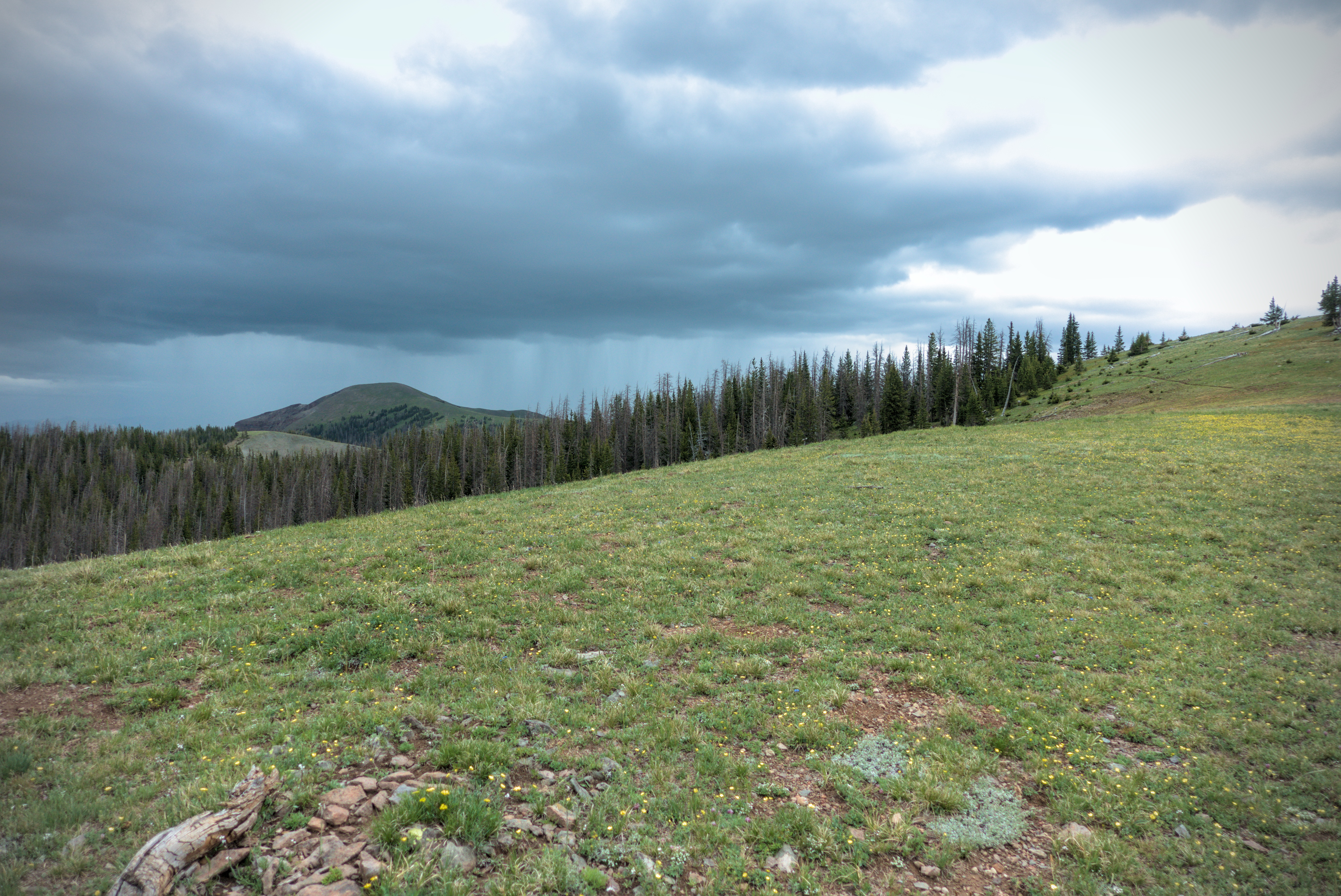
The storm chased me all day...
July 6, Day 77, 28.4 miles
I reach Muddy Pass and a bus to Steamboat after a long
day of hiking.
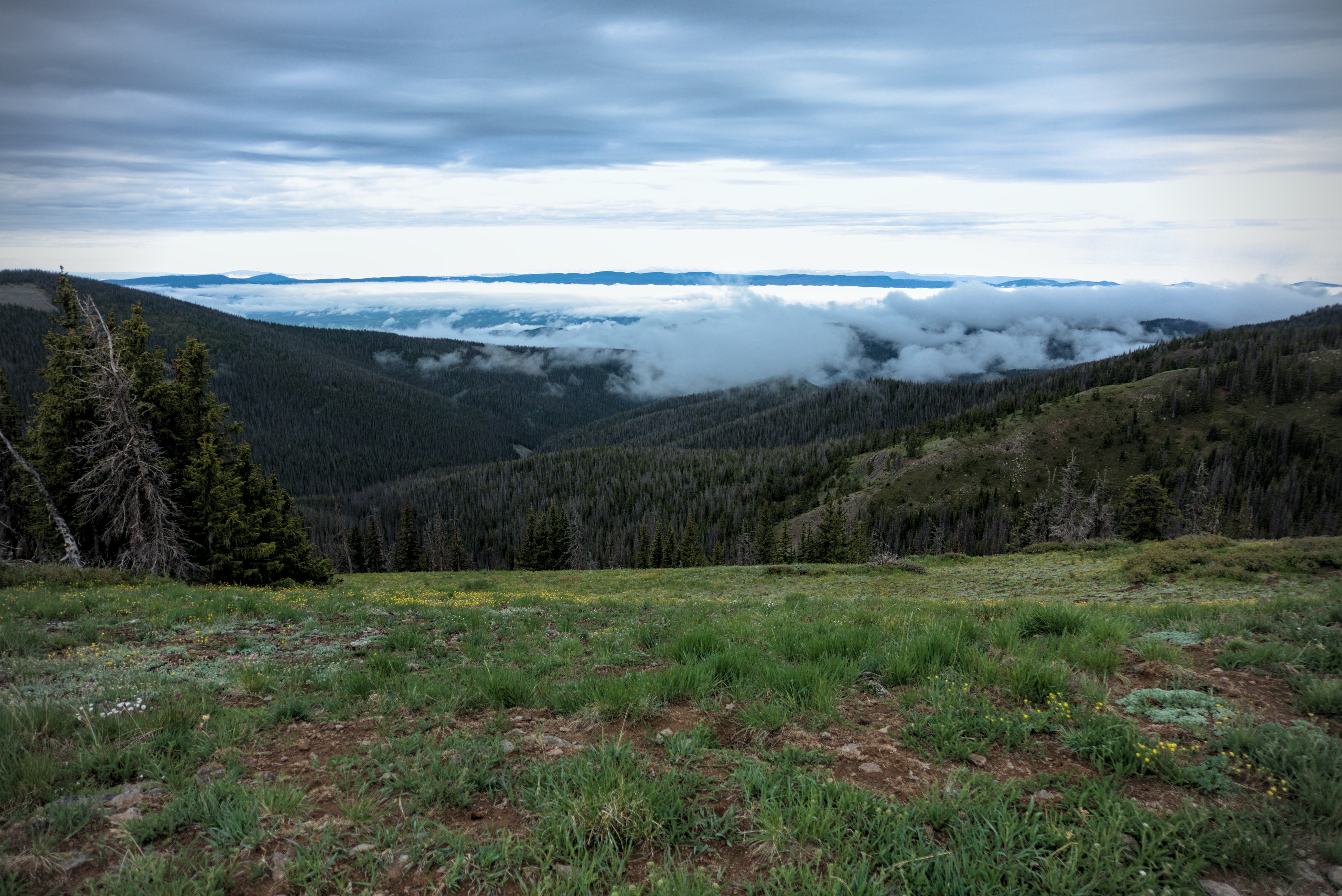
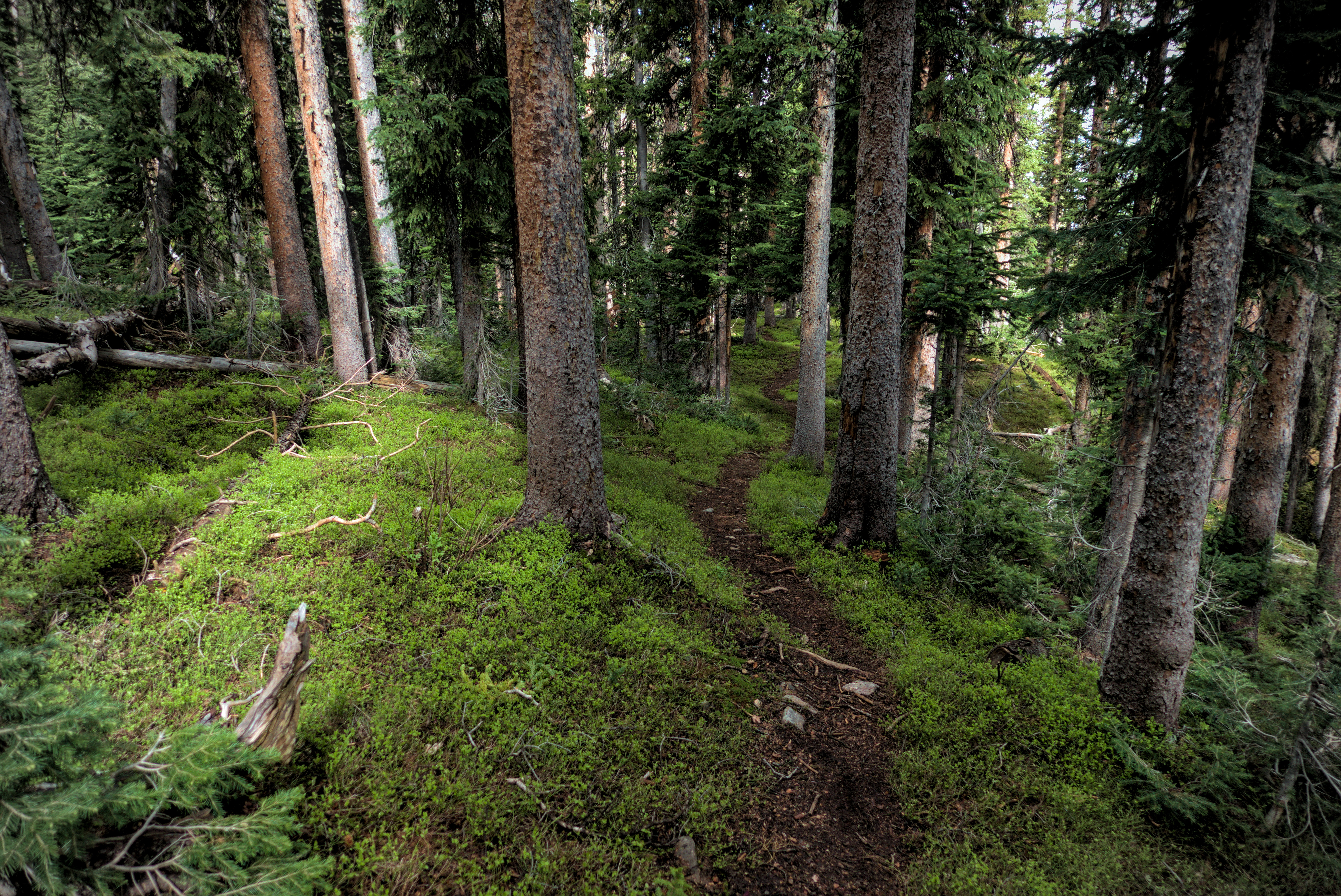
Misty clouds in the forest -- a first on the CDT!
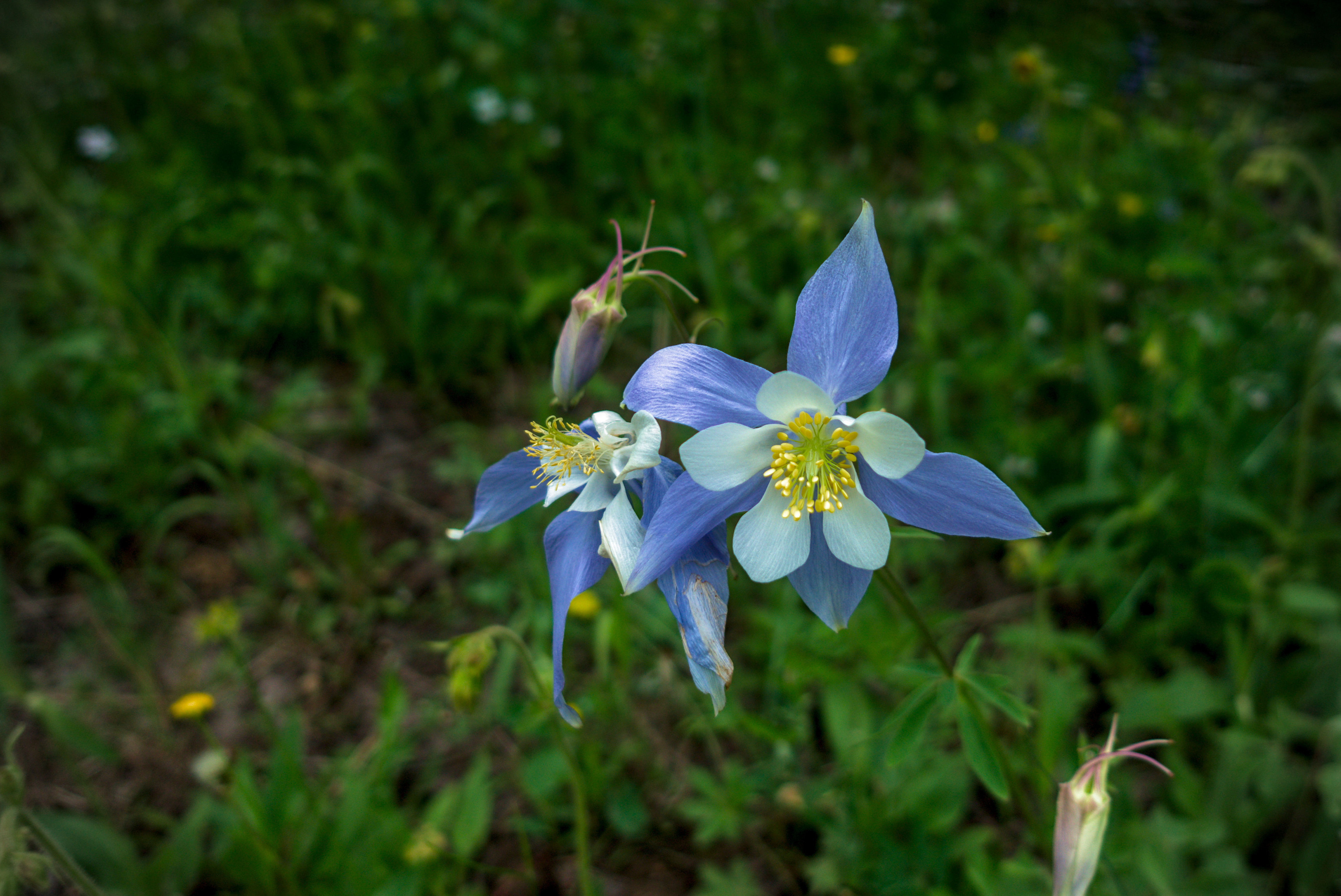
The beautiful columbine flower, seen often on Poison
Ridge and sections further west.
Something good about all the rain, were the many flowers, like this columbine, which is the state flower of Colorado.
The next day, the rain stopped around 6 in the morning, so i hurriedly packed in case it started again. I climbed up to a ridge line and saw banks of fog gliding amid the trees. For miles I followed the ridge gently down, finally coming to a road and parking lot where sun breaks allowed me to dry the tent. Yess!!!
Lower, I met trail angel Jim, who gives milk, cookies and cold water to hikers along this stretch from his remote camp on the road. He said he once saw an enormous columbine flower. He went back to get his camera in a storm, but by the time he returned, it had been destroyed!
Jim, the trail angel.
Miles of lonely country on the north side of the Rabbit
Ears Range.
Jim has been helping hikers here for six years in a row. He exudes the quiet joy of being helpful and noticing things in nature.
Again, a storm was chasing me. I walked briskly west, eventually talking a short cut across a field to save two miles, but paying for it with a hip deep River crossing! After this, I walked highway eight miles southwest to Muddy Pass. The ranching country was lonely and interesting. I had a conversation with a guy and his wife in a truck, but saw no one else.
Once at Muddy Pass, I tried to hitch to Steamboat, but no one stopped. However a bus came, thank goodness, and brought me to town, where I booked two nights at the Nordic Lodge. Inflation is very real. I never thought I'd pay $189 per night for a motel room! But the owners are very nice, and loaned mea swimsuit for the hot tub, which I enjoyed. It had been a 27 mile day. I was only able to get so many miles because there was a lot of downhill and flat country.
My short cut to the highway.
After the river ford, I was soaked, but happy to
be on the highway.
It is a very long walk to Muddy Pass.
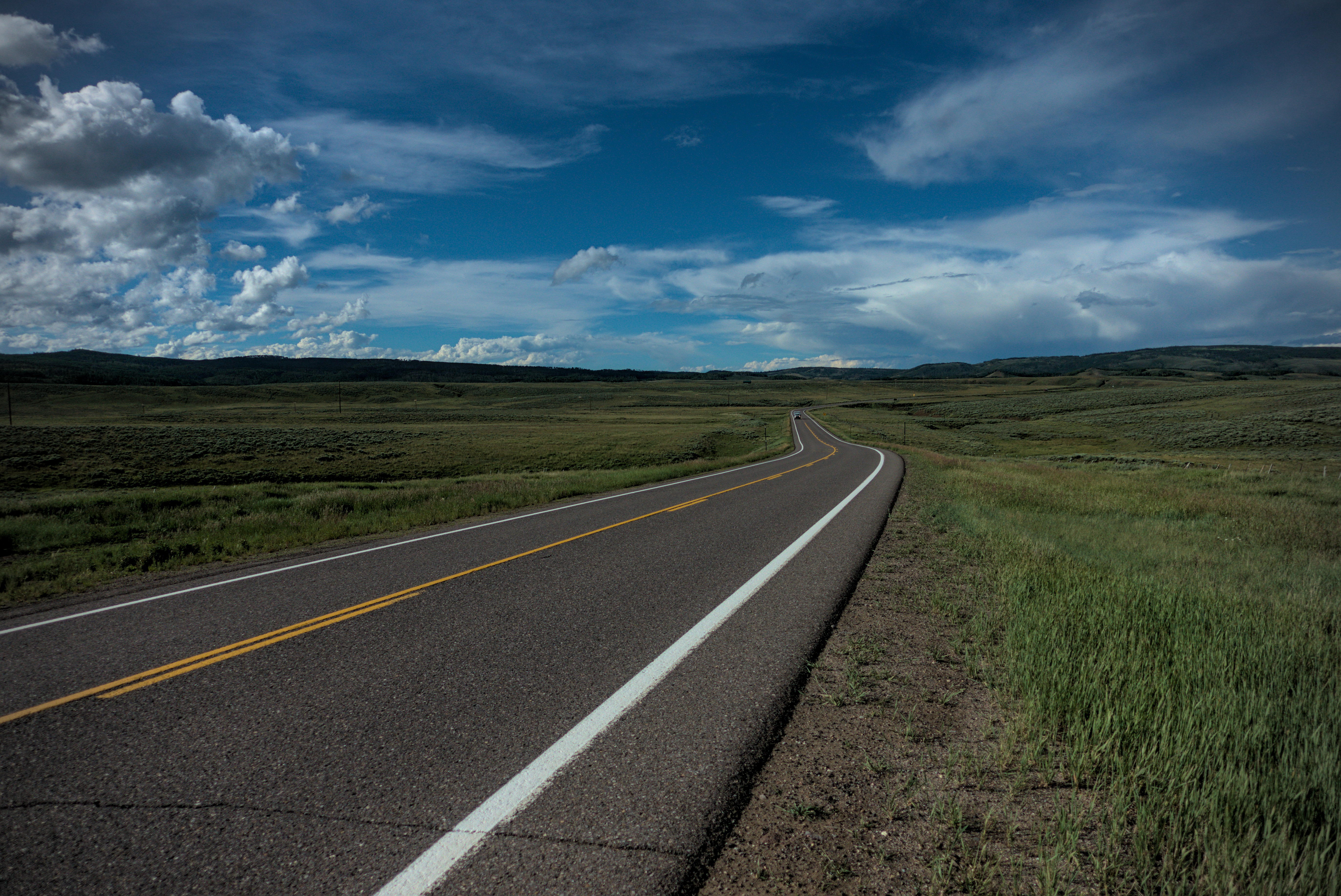
Easy miles...
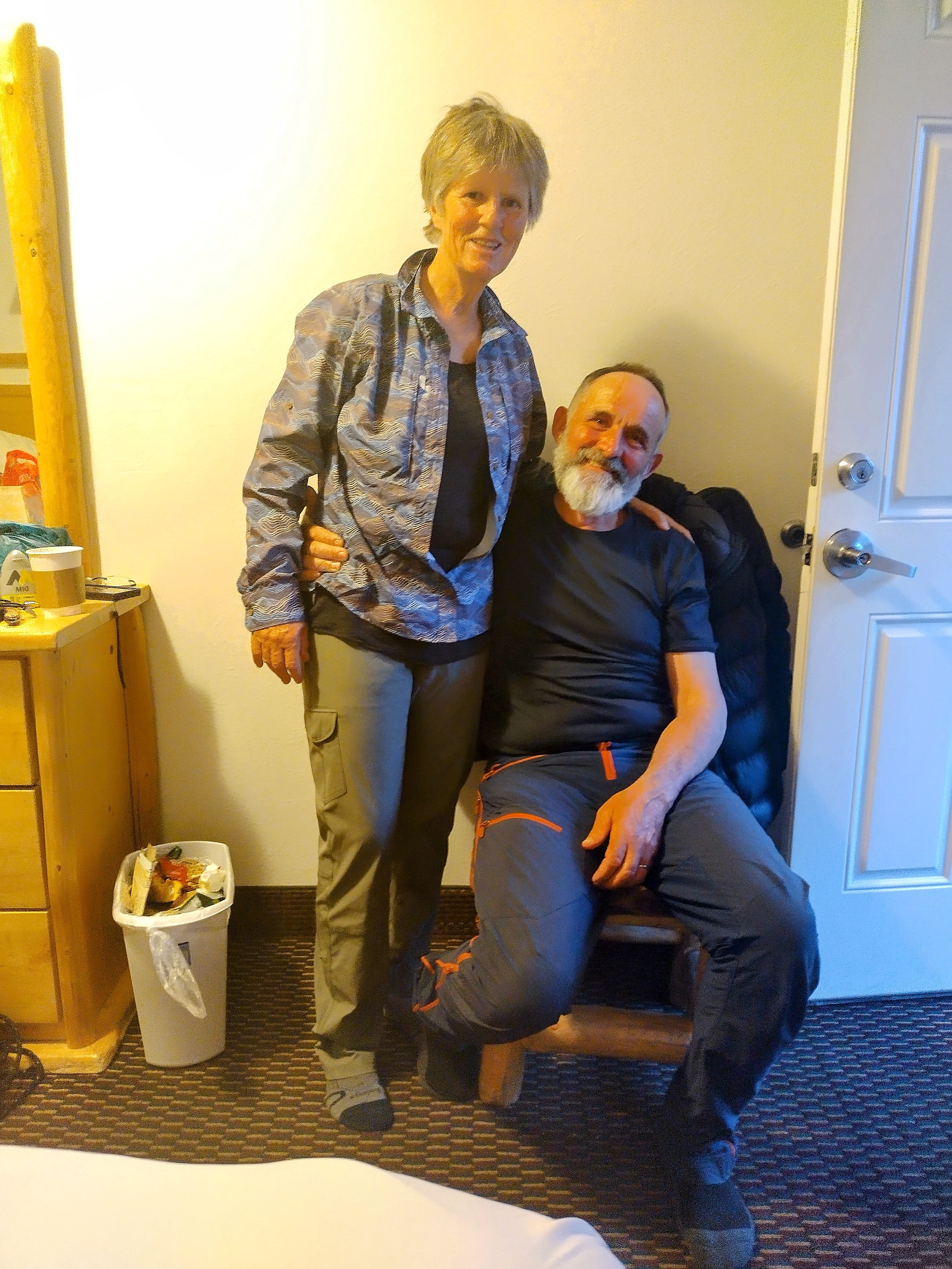
Swiss friends in Steamboat Springs. We last met in
Chama, New Mexico.
To continue the story, the walk from Muddy Pass north to the Seedhouse Campground click here.