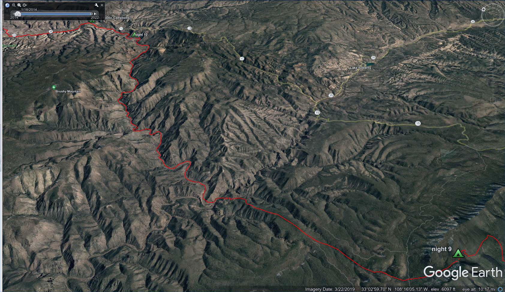
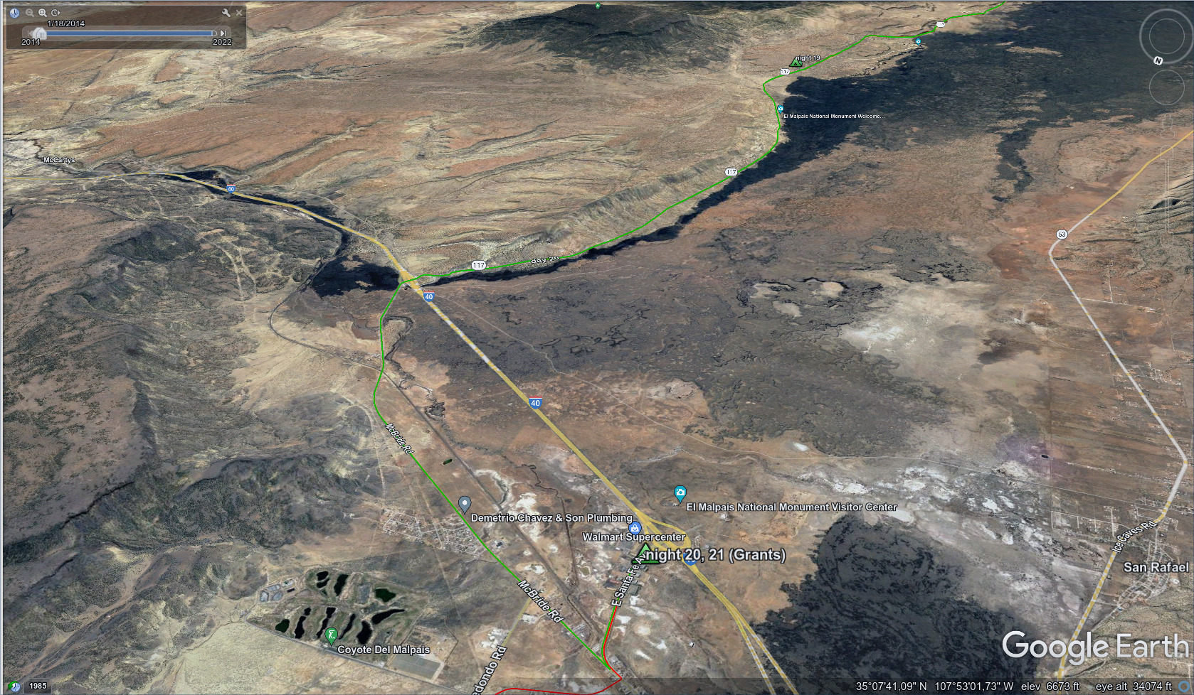
CDT - Silver City to Grants
Friends: LemonhopeLocation: Silver City, CDT Camp 9, Doc Campbells Post, Gila Cliff Dwellings, CDT Camp 12, CDT Snow Lake, CDT Camp 13, Wagontongue Mountain, CDT Camp 14, Mangas Mountain, CDT Camp 15, Pie Town, CDT Camp 17, CDT Camp 18, El Malpais Ranger Station, CDT Grants
Elevation gain: 9127m = 1601m + 766m + 71m + 1328m + 894m + 1410m + 1410m + 470m + 284m + 431m + 462m + 0m
To go back to days 8 and before, click here.
This section had 2 food resupplies, but I never slept in a bed. I was so intimidated by the 120 mile walk without resupply to Pie Town. But after doing that, the 75 miles to Grants wasn't too bad.
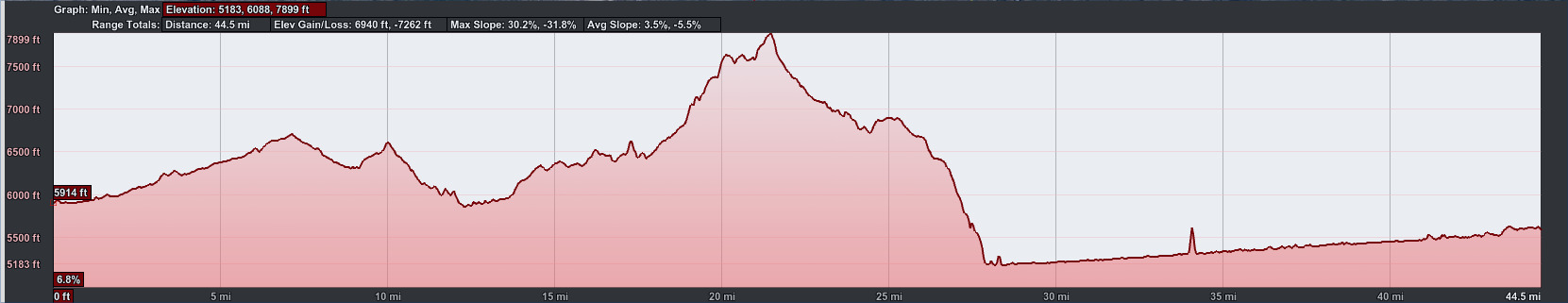
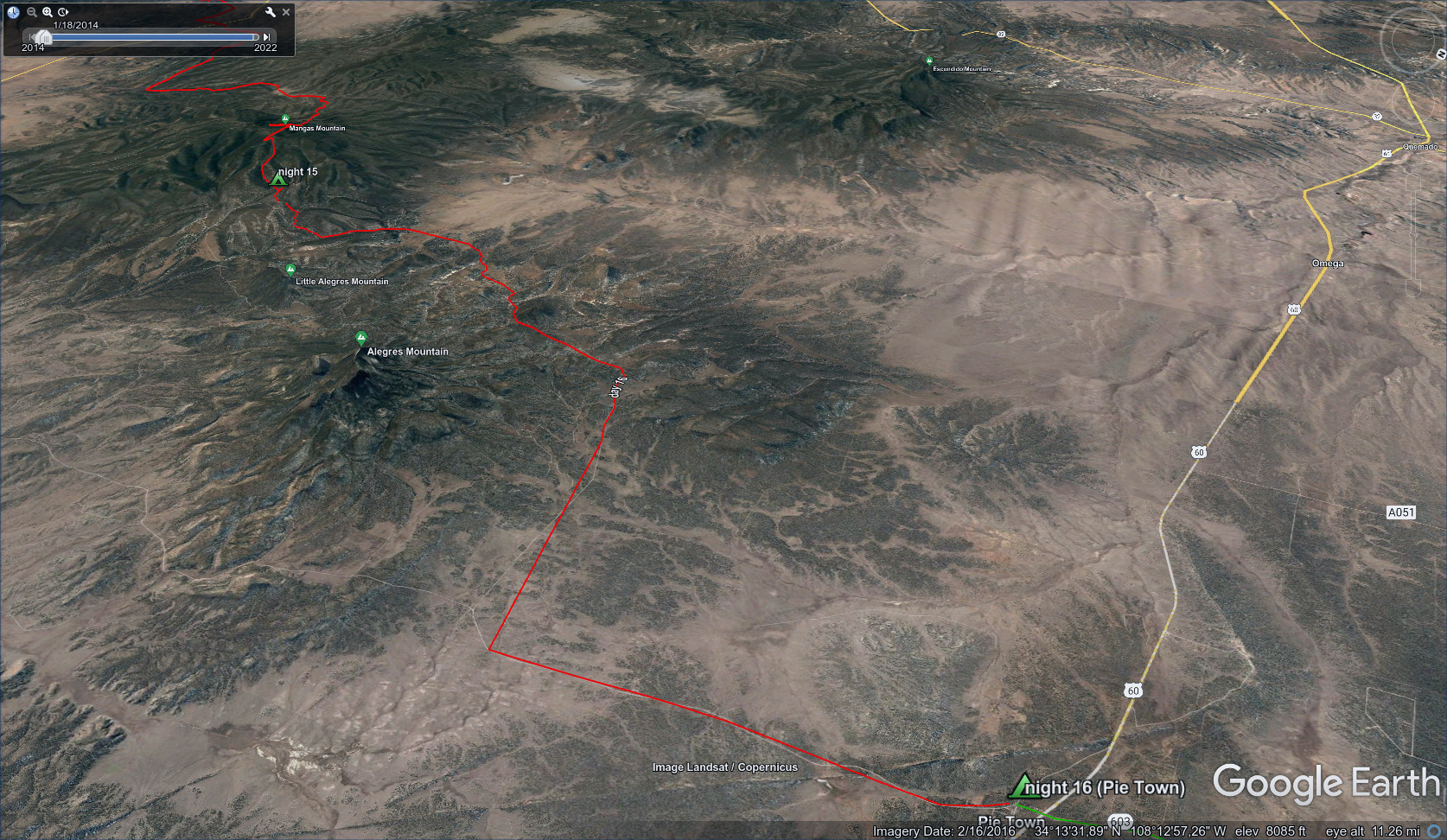
First, a short 44.5 miles and 6940 feet elevation gain to the heart of the Gila Wilderness.
Then two long stages first to Pie Town, then Grants.
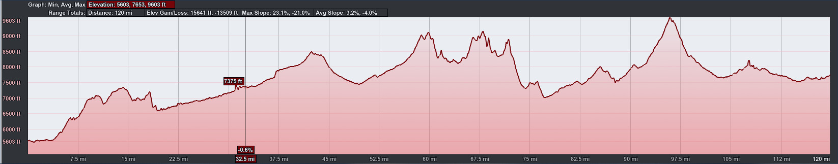
From Doc Campbells, 120 miles and 15641 feet elevation gain through the Gila and north to Pie Town.
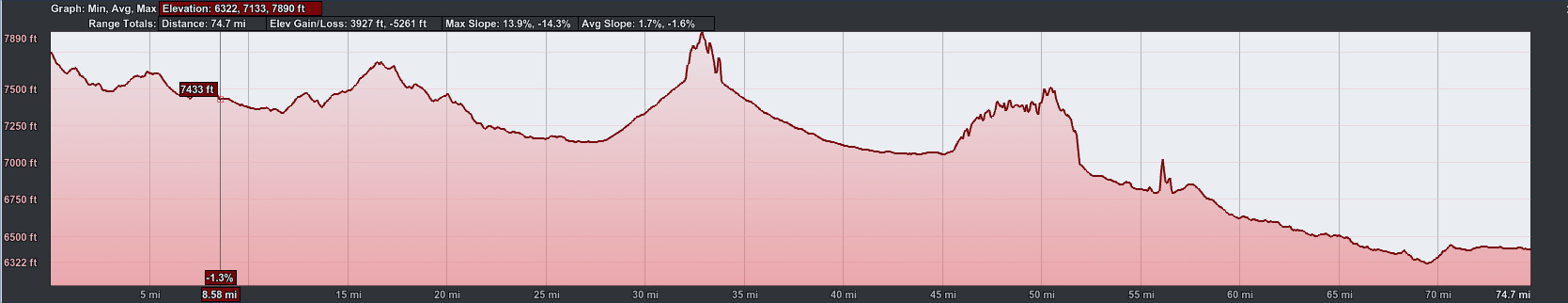
74.7 miles and 3927 feet elevation gain down to the big city of Grants over
3 days, mostly road walking.
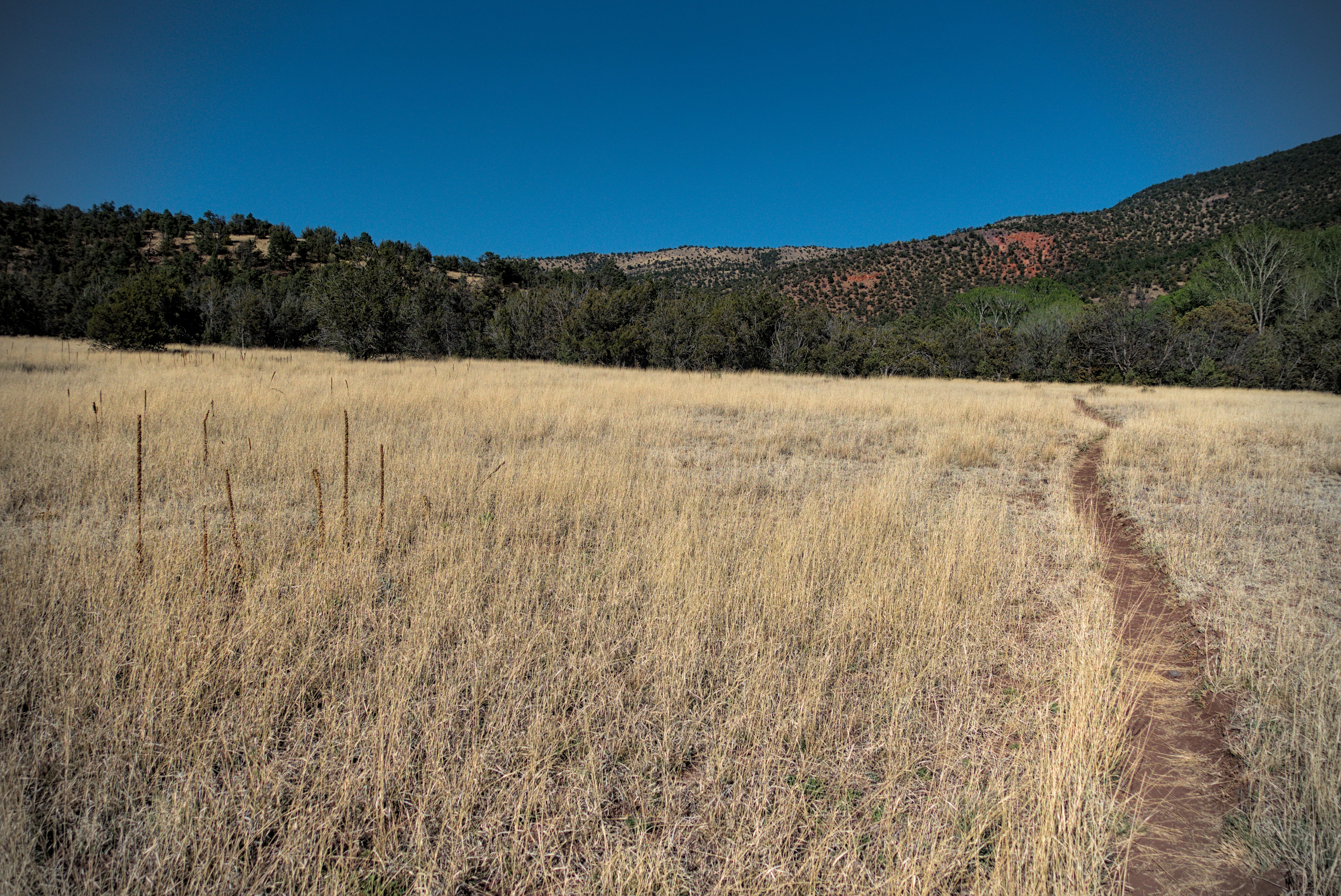
April 29, day 9 - 21 miles
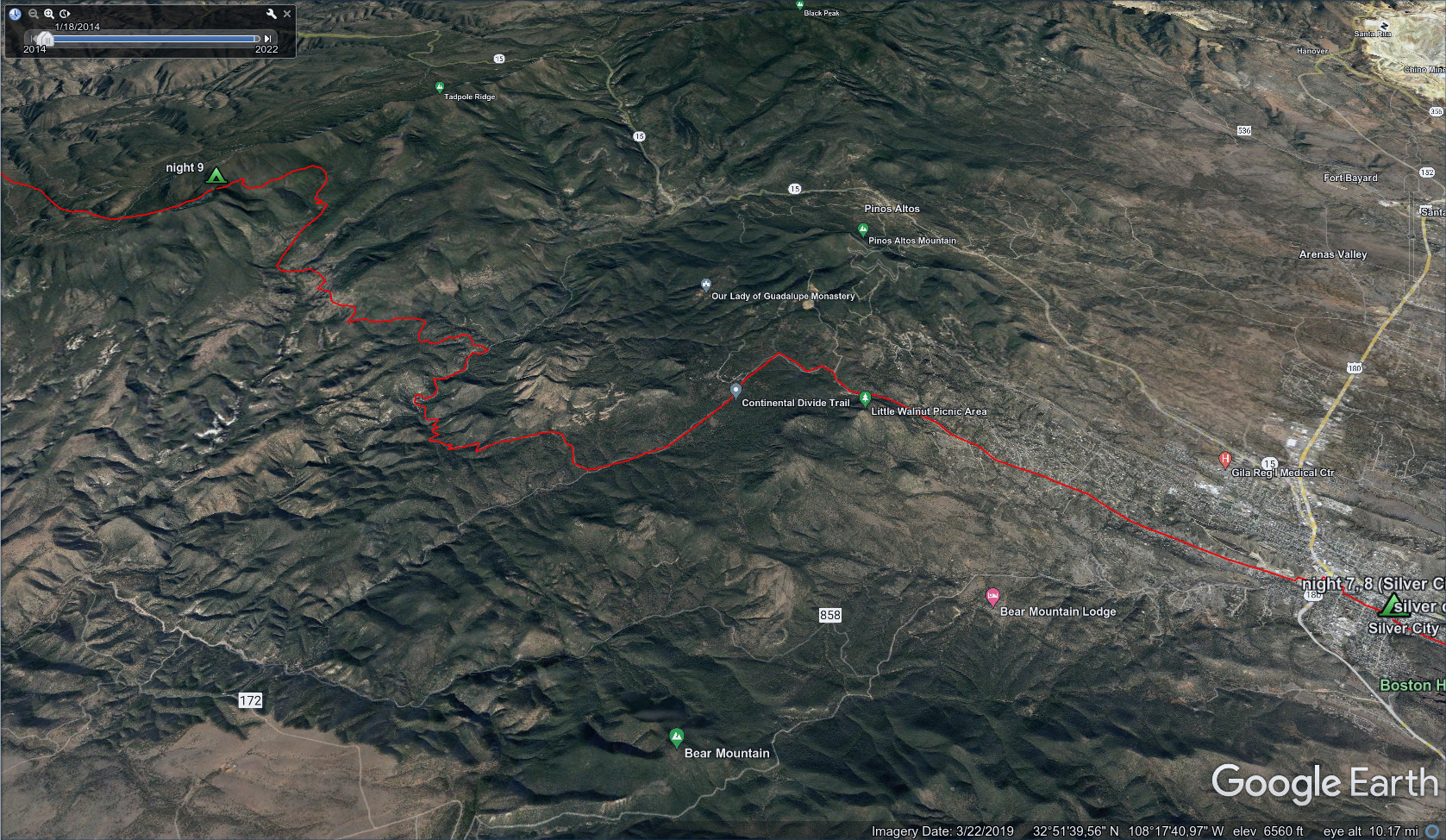
Today we left town and slept at a pass in the Gila National Forest.
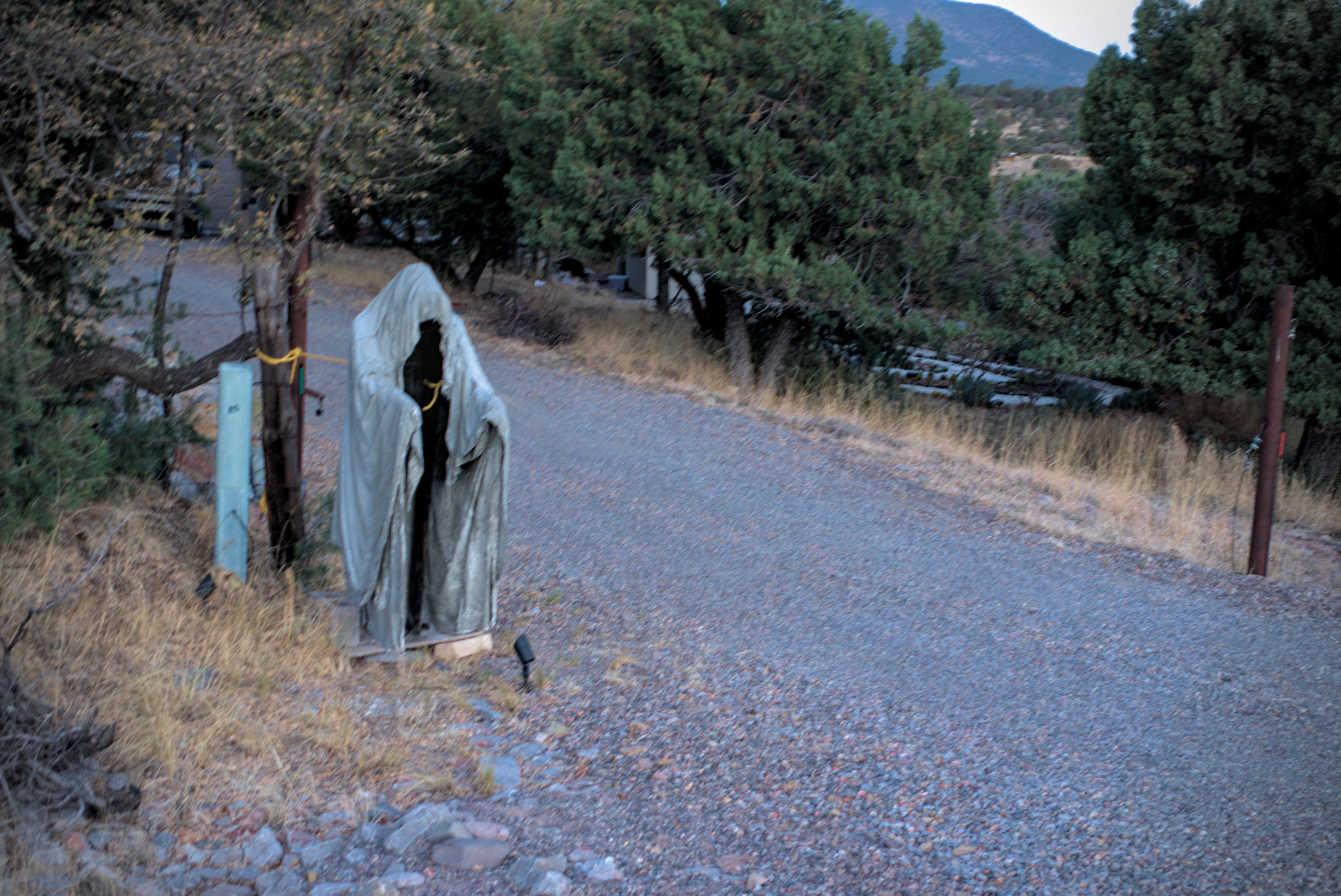
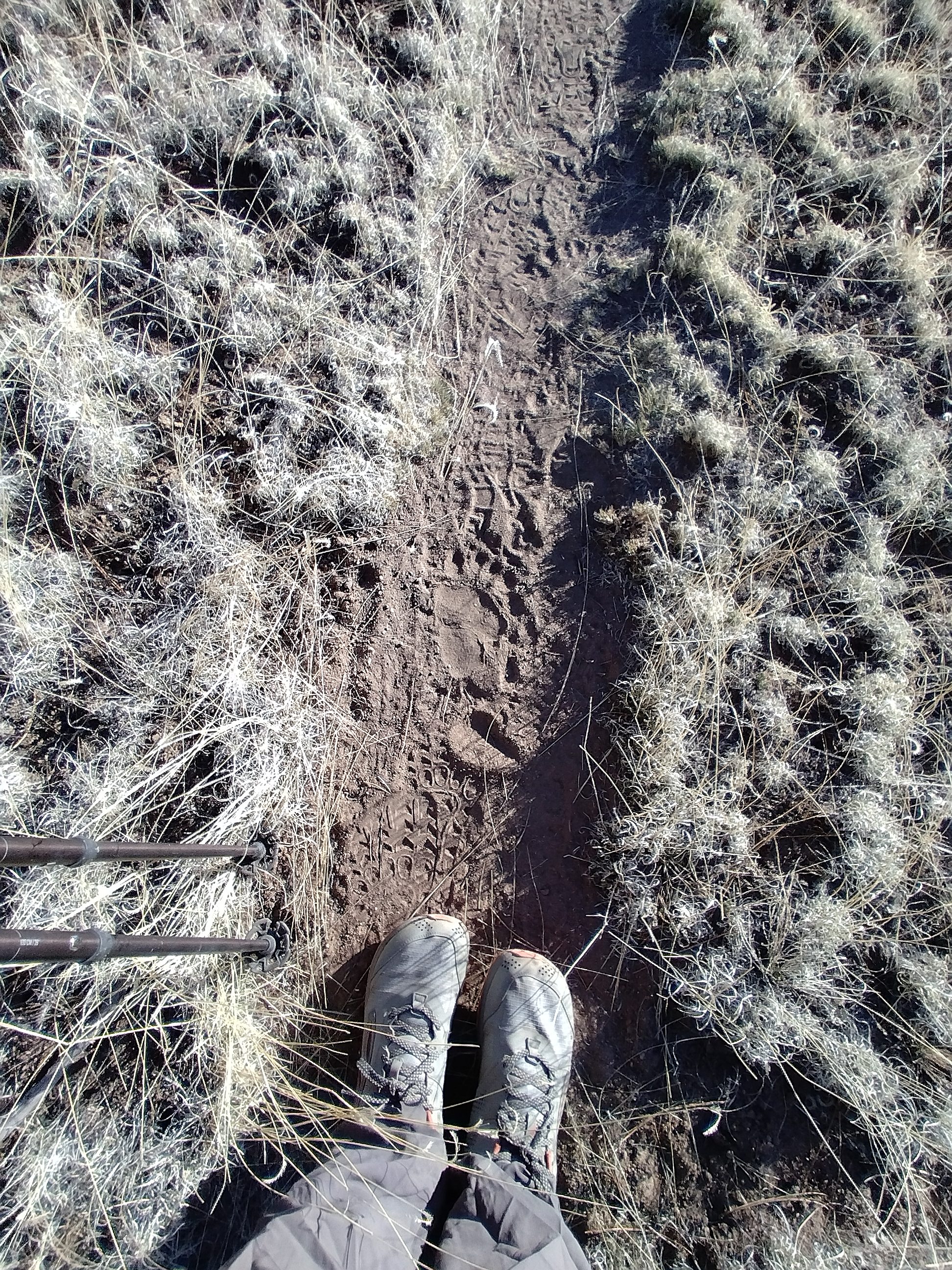
This spectre gave Lemonhope and I a shock on the county road leaving Silver
City.
Blog entry In the River covers some of this.
Lemonhope and I were up in the dark, and soon walking through town to the north. I had a light pack, only 3 days of food for the 45 miles to Doc Campbell's. Lemonhope told me about his time in the marines. He had a funny story about everybody wanting to be an "alpha," but the truth is, it would be impossible to run an army if everyone was that way, because they'd chafe at taking orders...they'd quit and rage all the time. "Nope, you're all betas" he'd say to his squadron. He'd say all this with an air of incredulity that invited me to look at the craziness of the world and laugh with him.
We discovered that we're both rabid fans of the cartoon show "Adventure Time." In fact, that's where his trail name comes from. I thought it was a great trail name. Lemonhope is one of the "lemon people," who tend to live in oppressive communist dictatorships ruled by the most sour among them. But he seems to ignore all that and go off on a grand adventure. He lives for days and perhaps eons in a solipsistic haze, enjoying himself whatever he does but failing to see the damage he leaves in his wake. He has a story arc in the show where he gradually learns to express gratitude, to develop skills, and to function in a mutually beneficial hierarchy of friendship and duty with a german guy who harvests the oil from sky whales from a glorious balloon ship.
Finally, Lemonhope returns to the Lemon Kingdom and deposes the evil dictator by playing his harp. My idea is that the harp is the light of consciousness applied into the self. The dictator can't stand the music and explodes. But Lemonhope isn't made to be a leader, despite all the positive things he learned. When we last see him, he's wandered the planet until everyone is gone. He returns as a very old lemon to his childhood bedroom, now crumbling and deserted. And takes a nap.
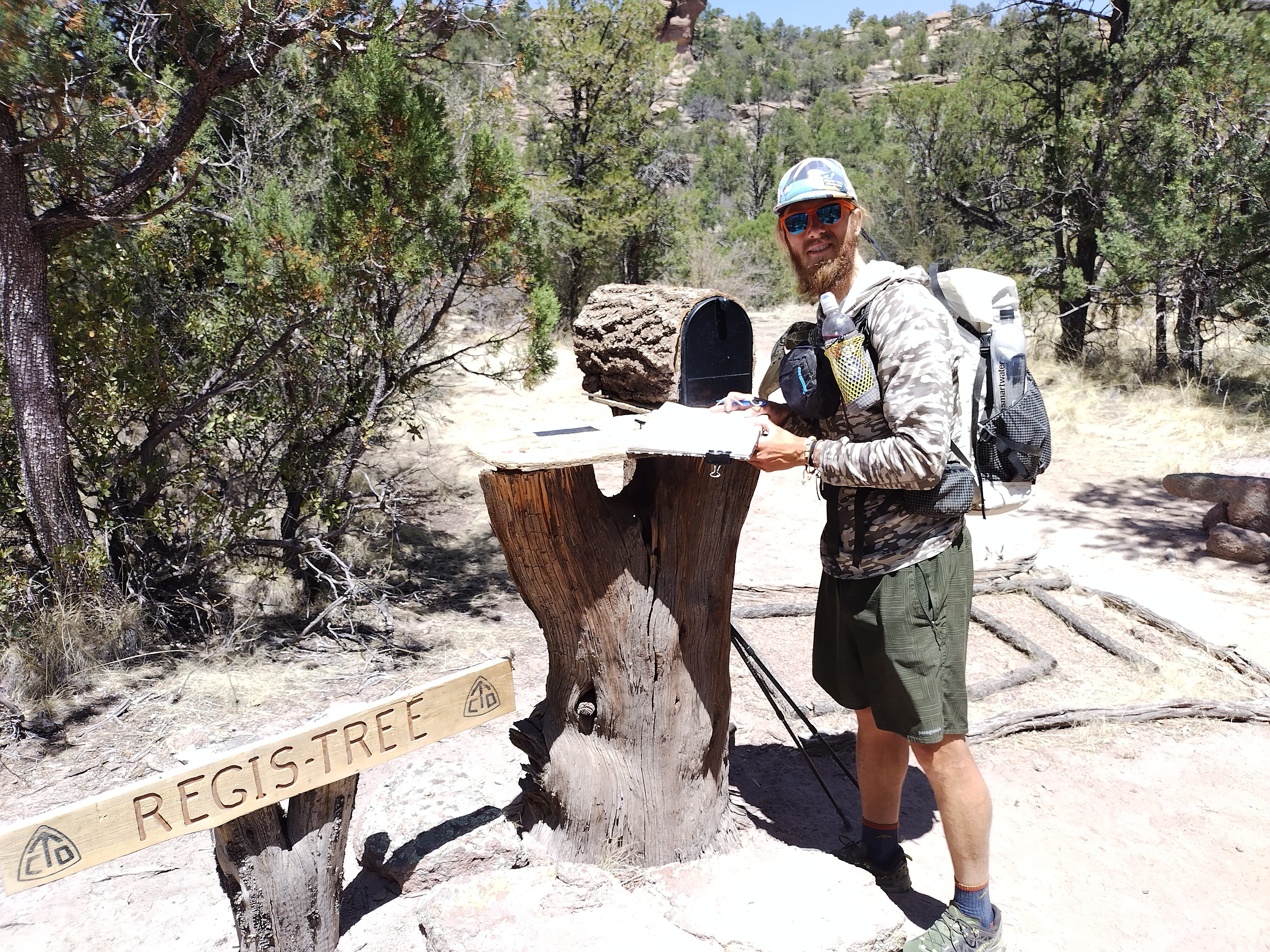
Lemonhope checks the mail at the "regis-tree." Put here by a religious hermit
who sometimes comes down to invite people up to his trailer and share homemade
beer with them. I wish we had had the pleasure of meeting him!
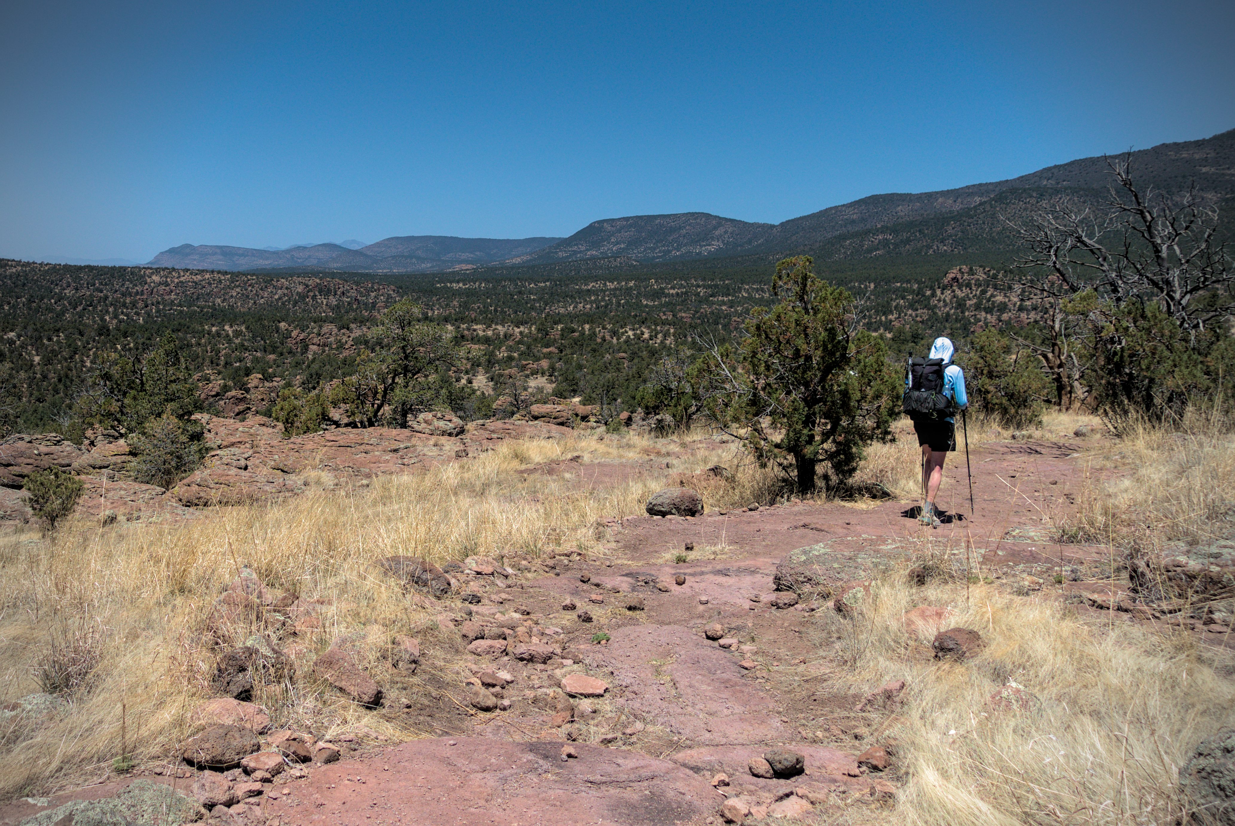
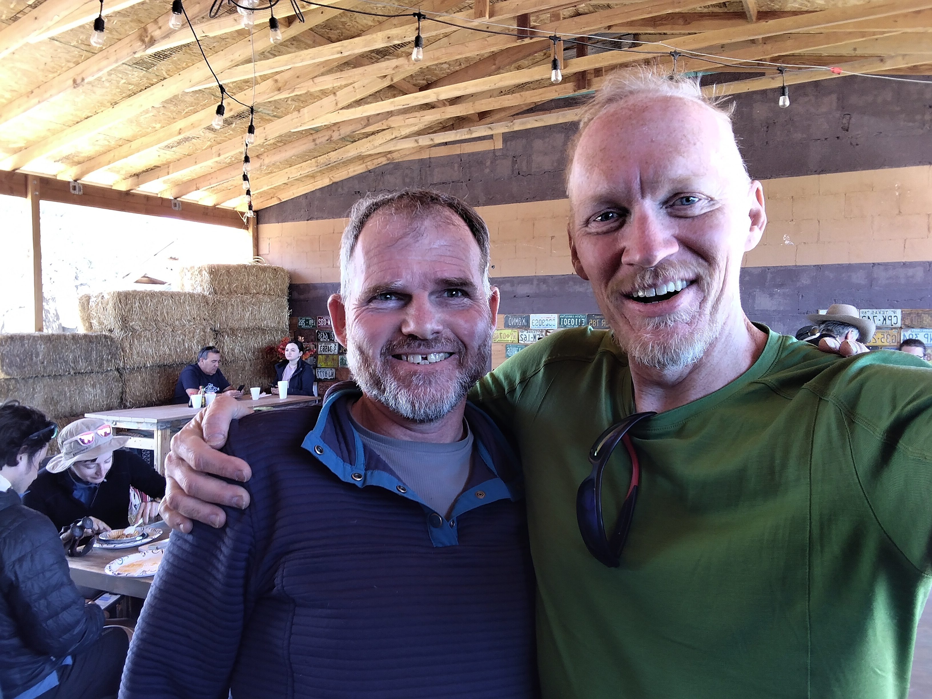
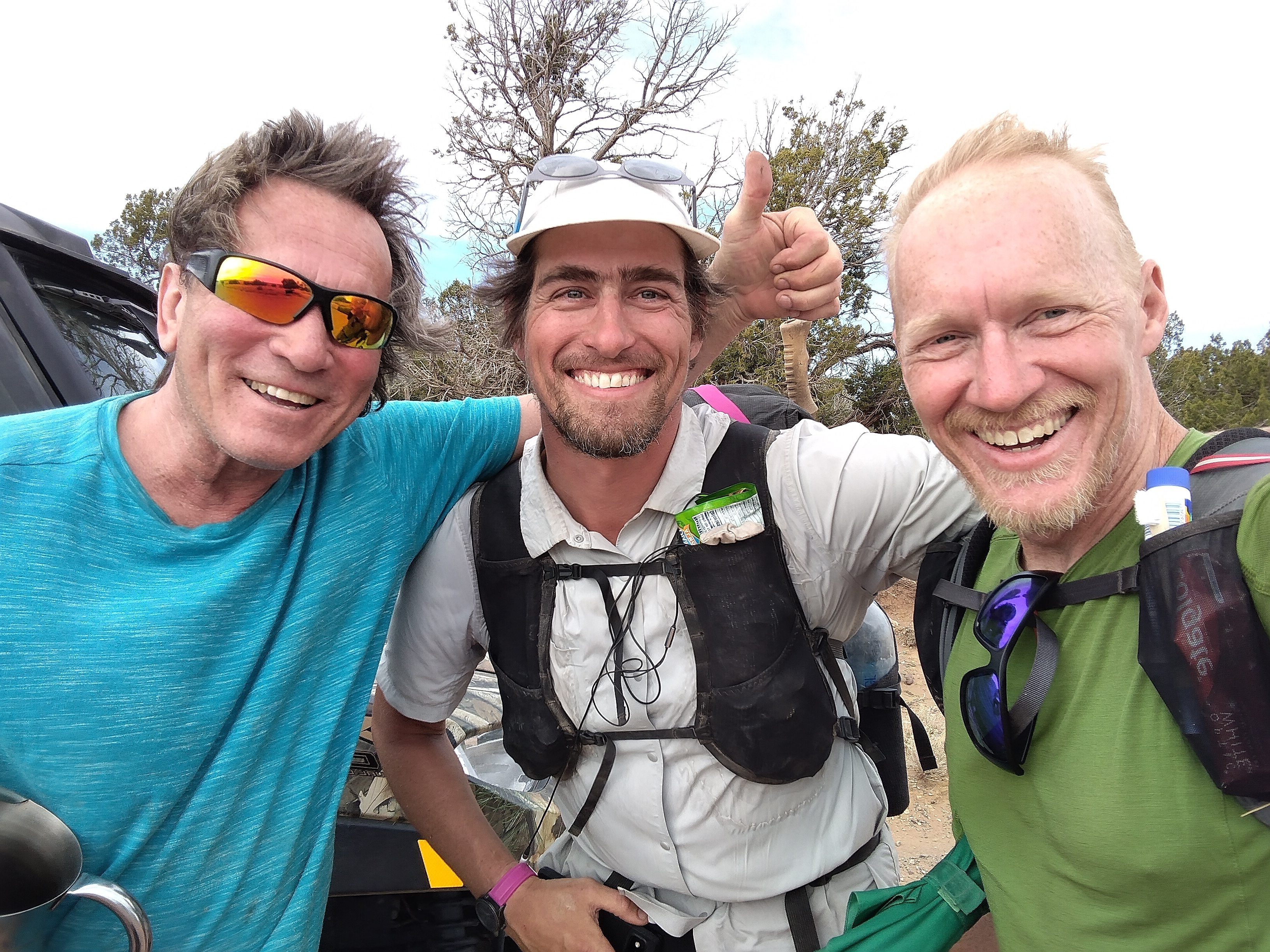
It's been a long time since I saw Curtis, but here he is near the Devils
Garden.
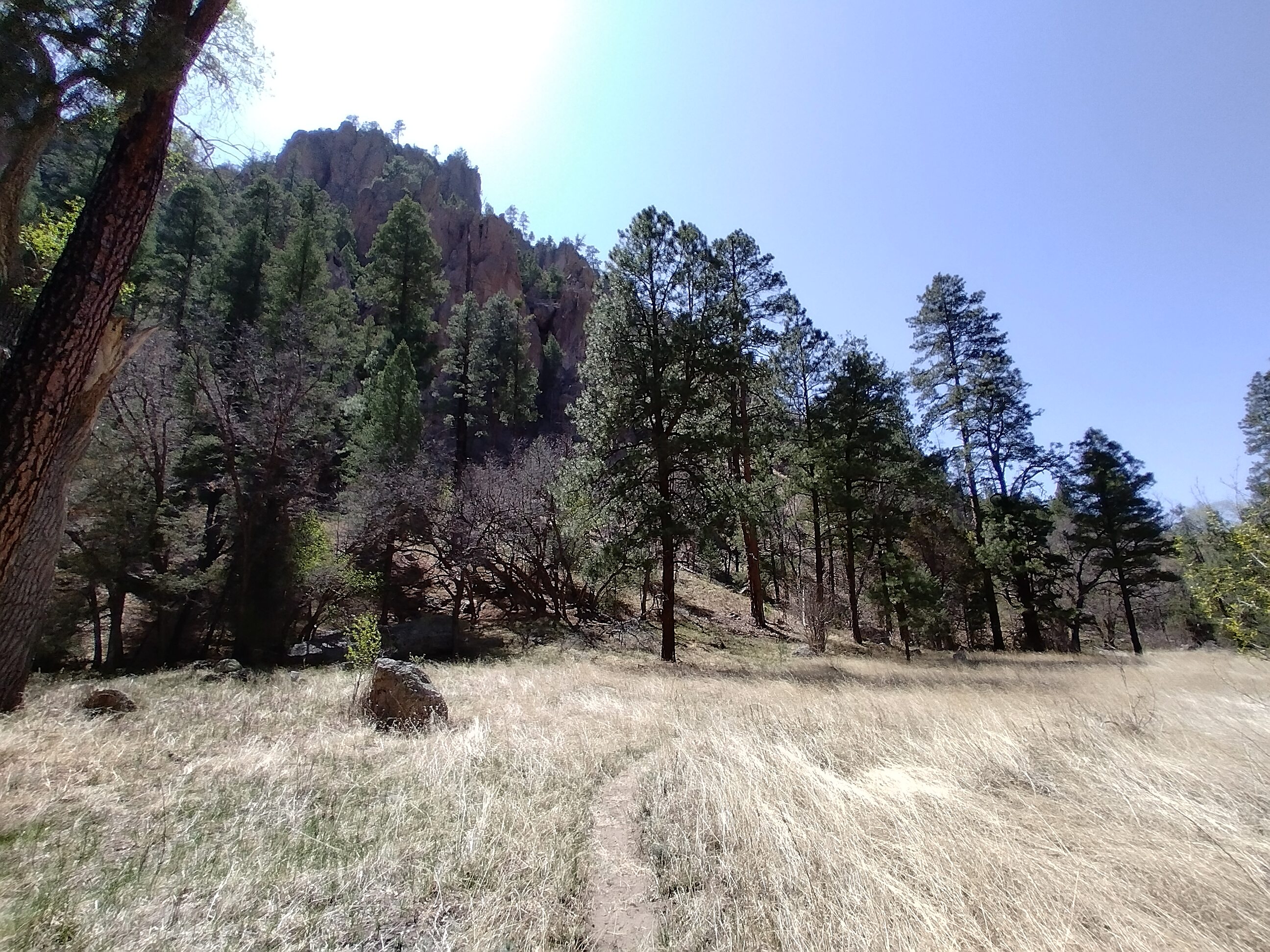
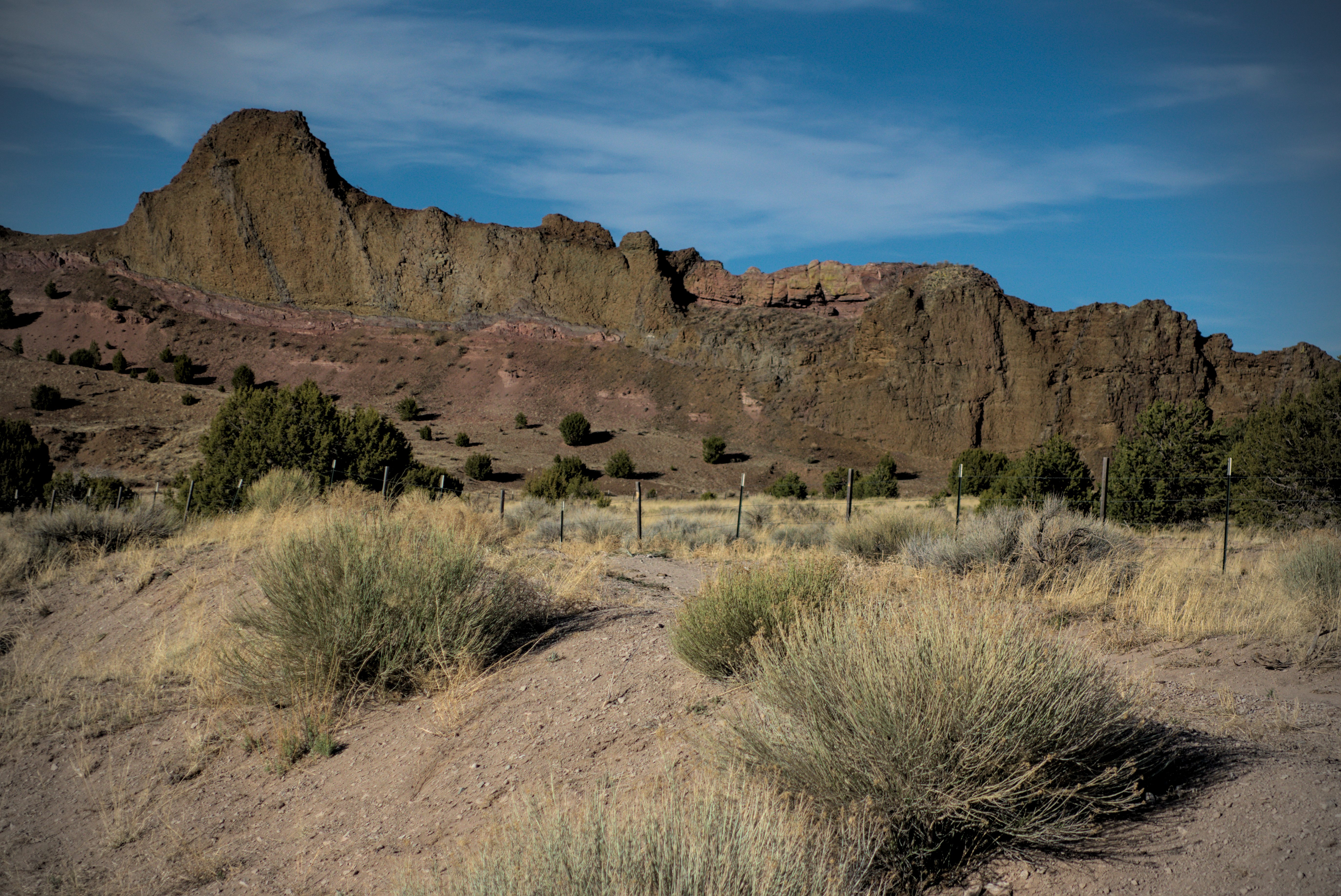
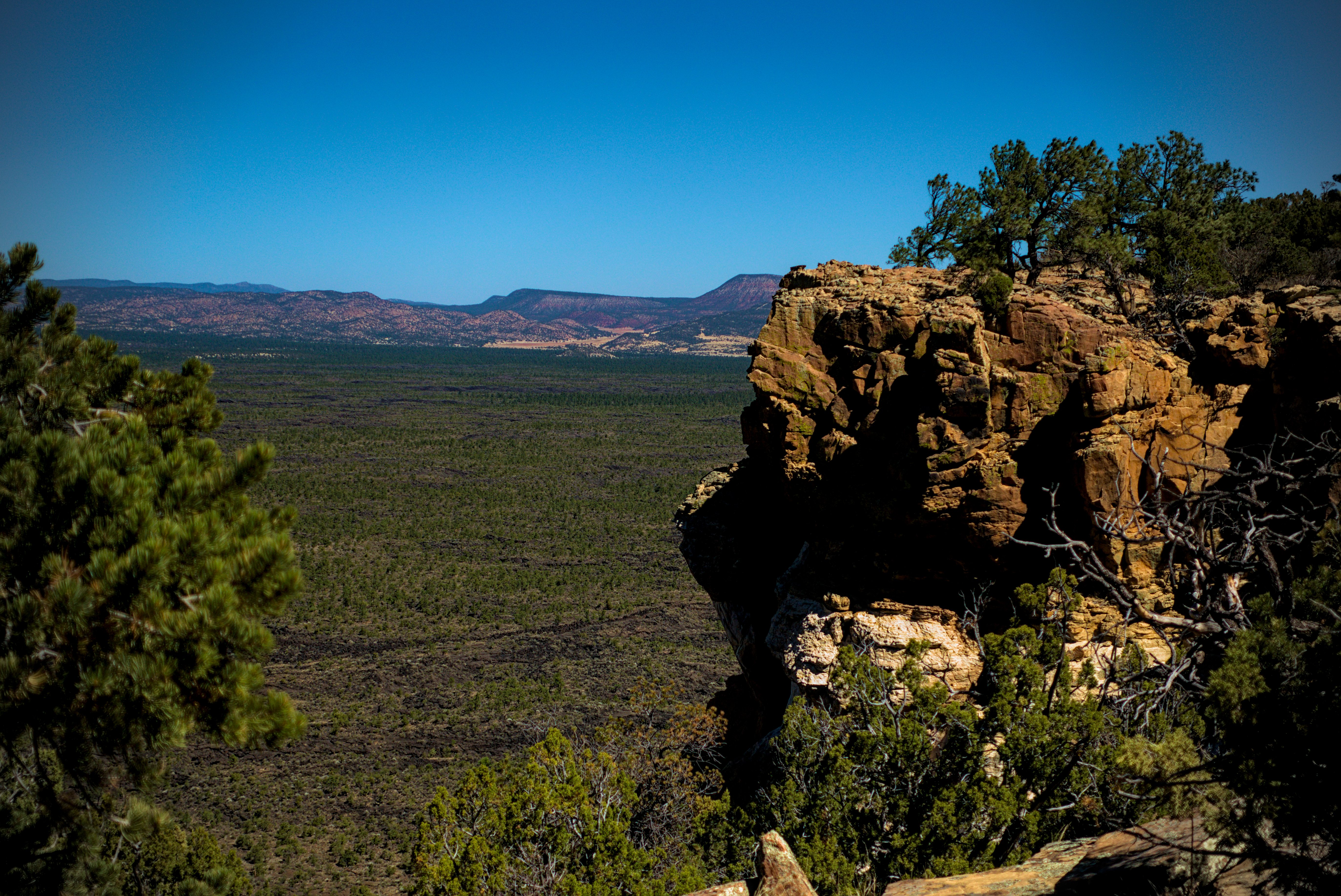
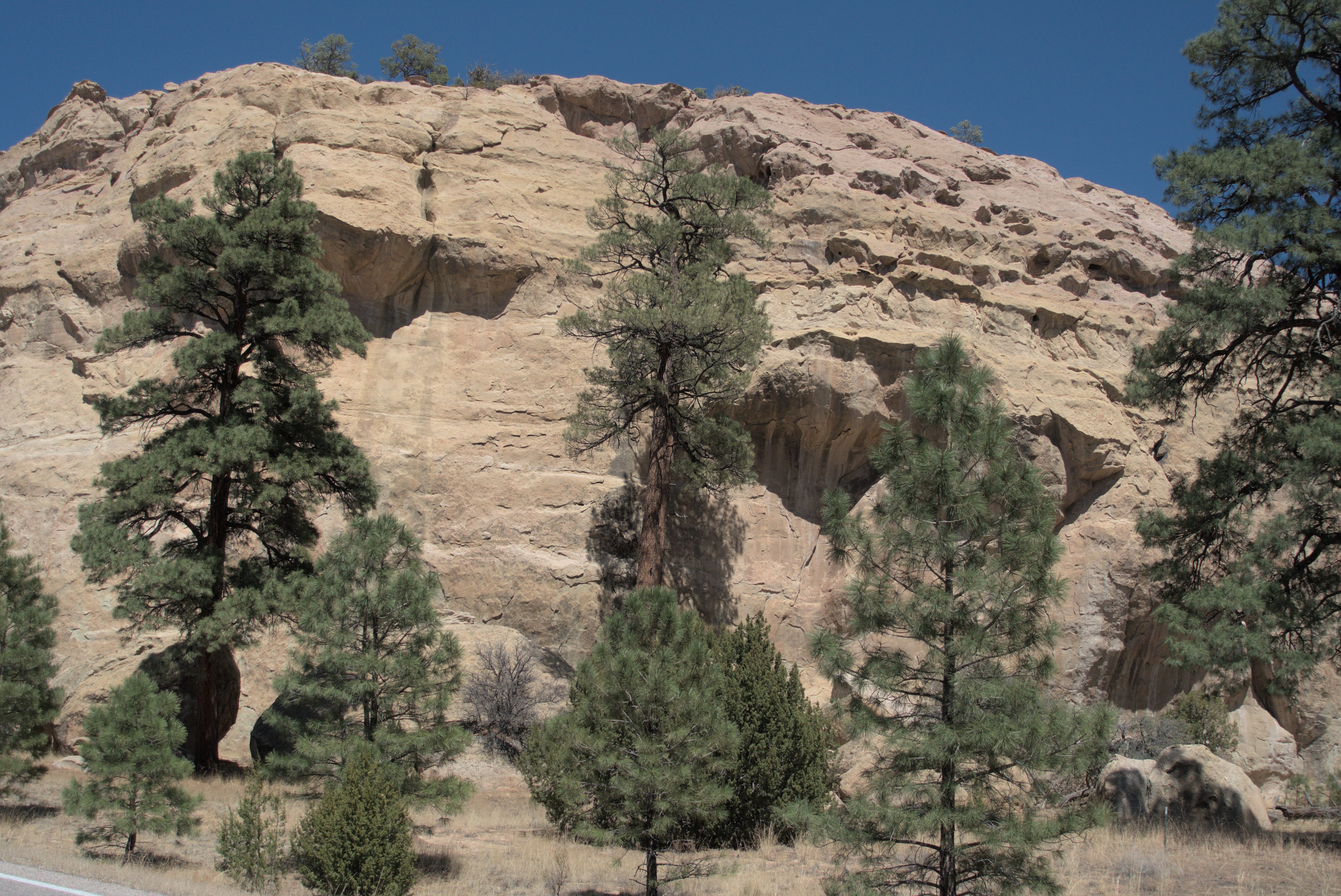
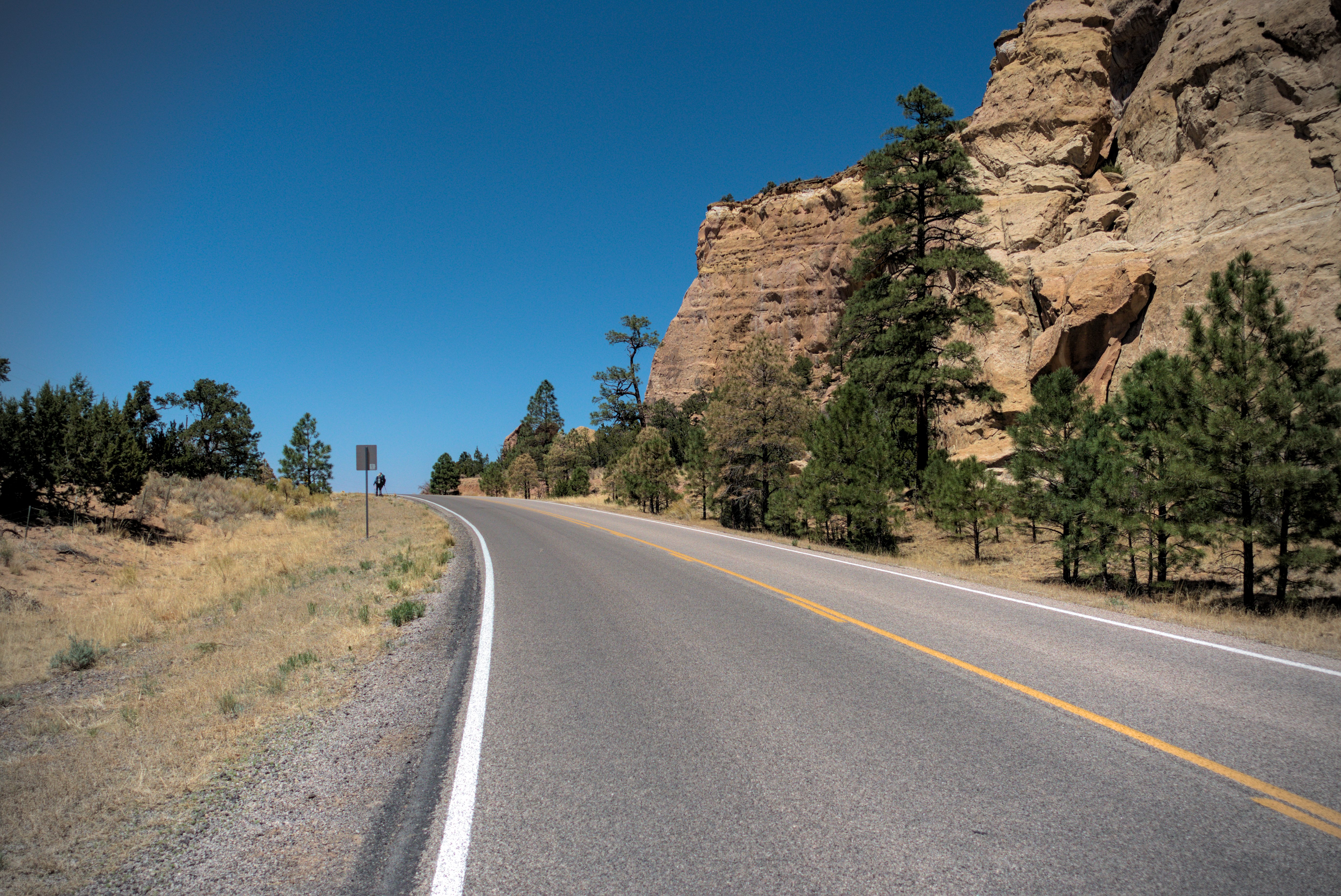
The road took us into a forest, and then as the day warmed up, to higher country with rocky towers below us called the Devils Garden.
In the Devils Garden there are hundreds of small towers you could get lost
in.
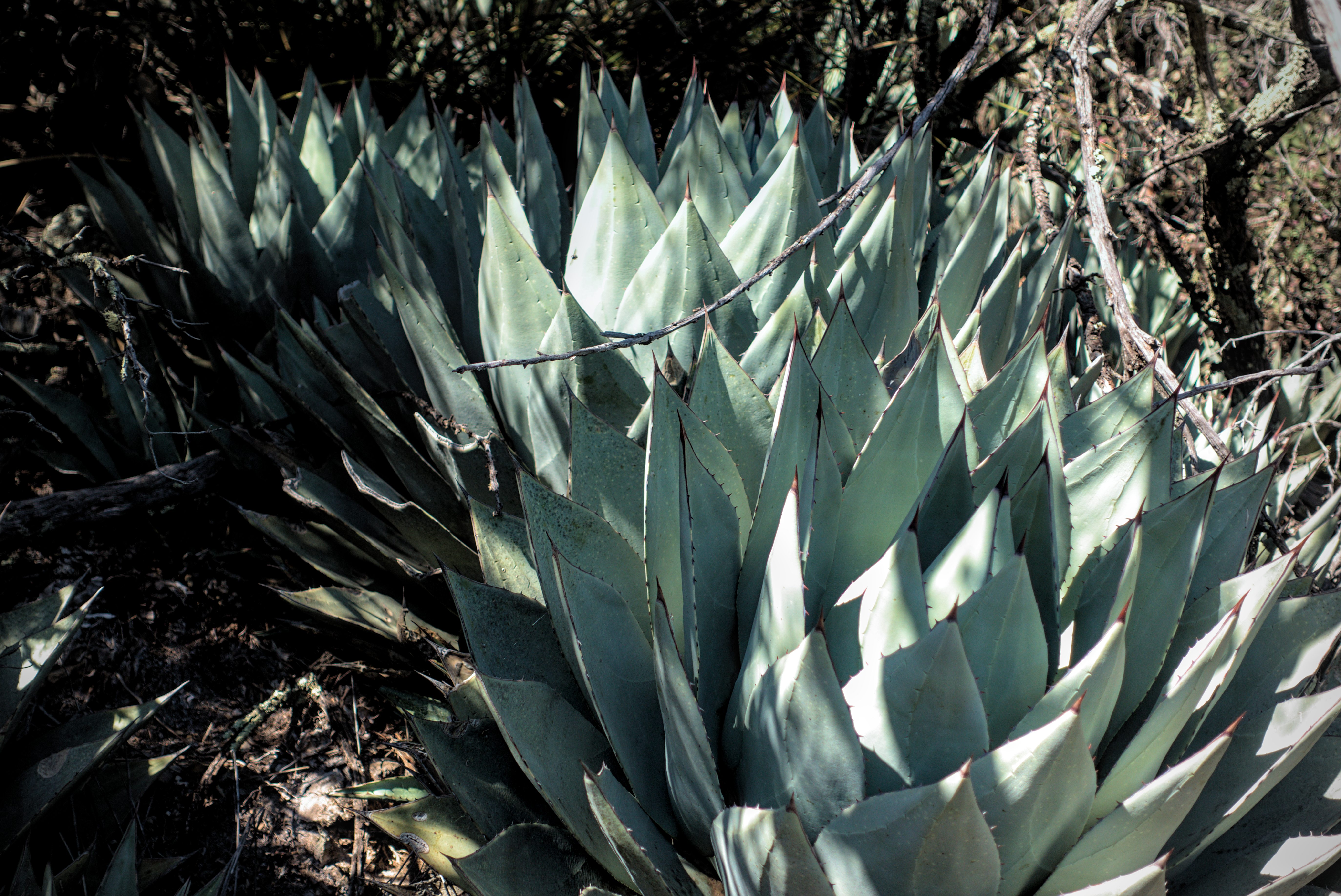
There are also spiny plants!
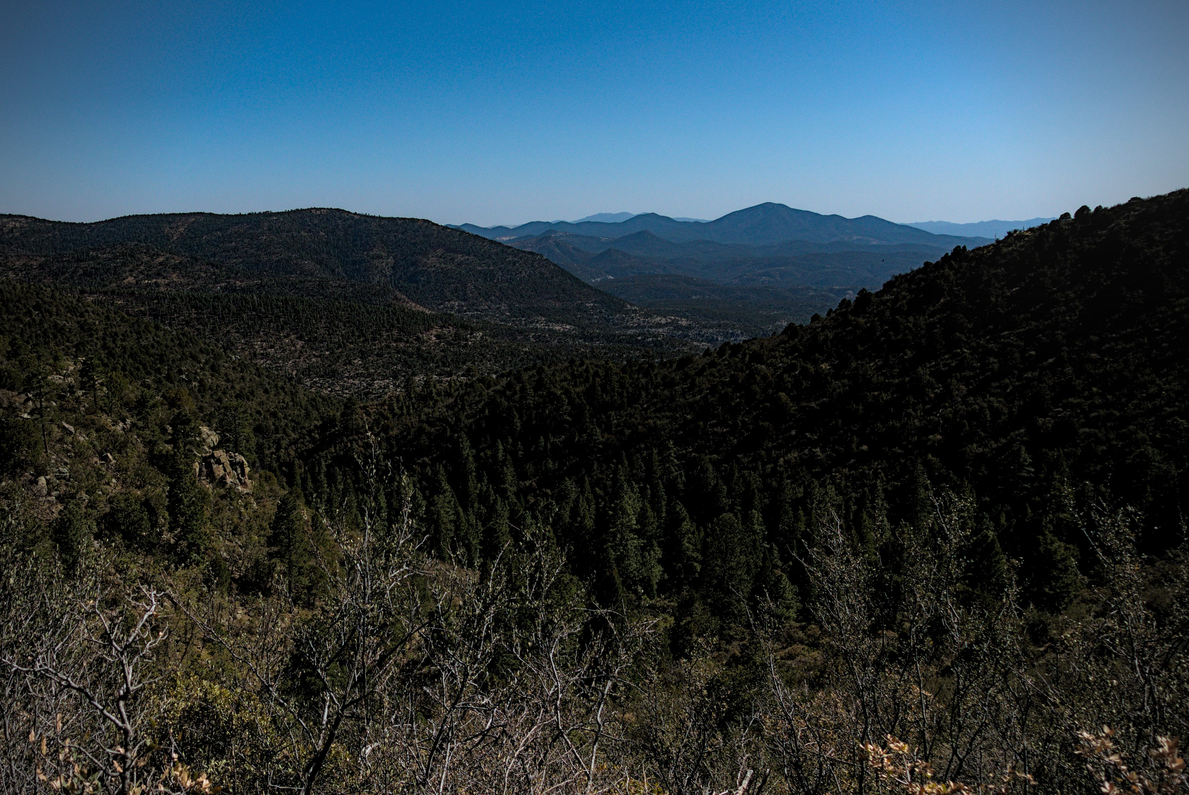
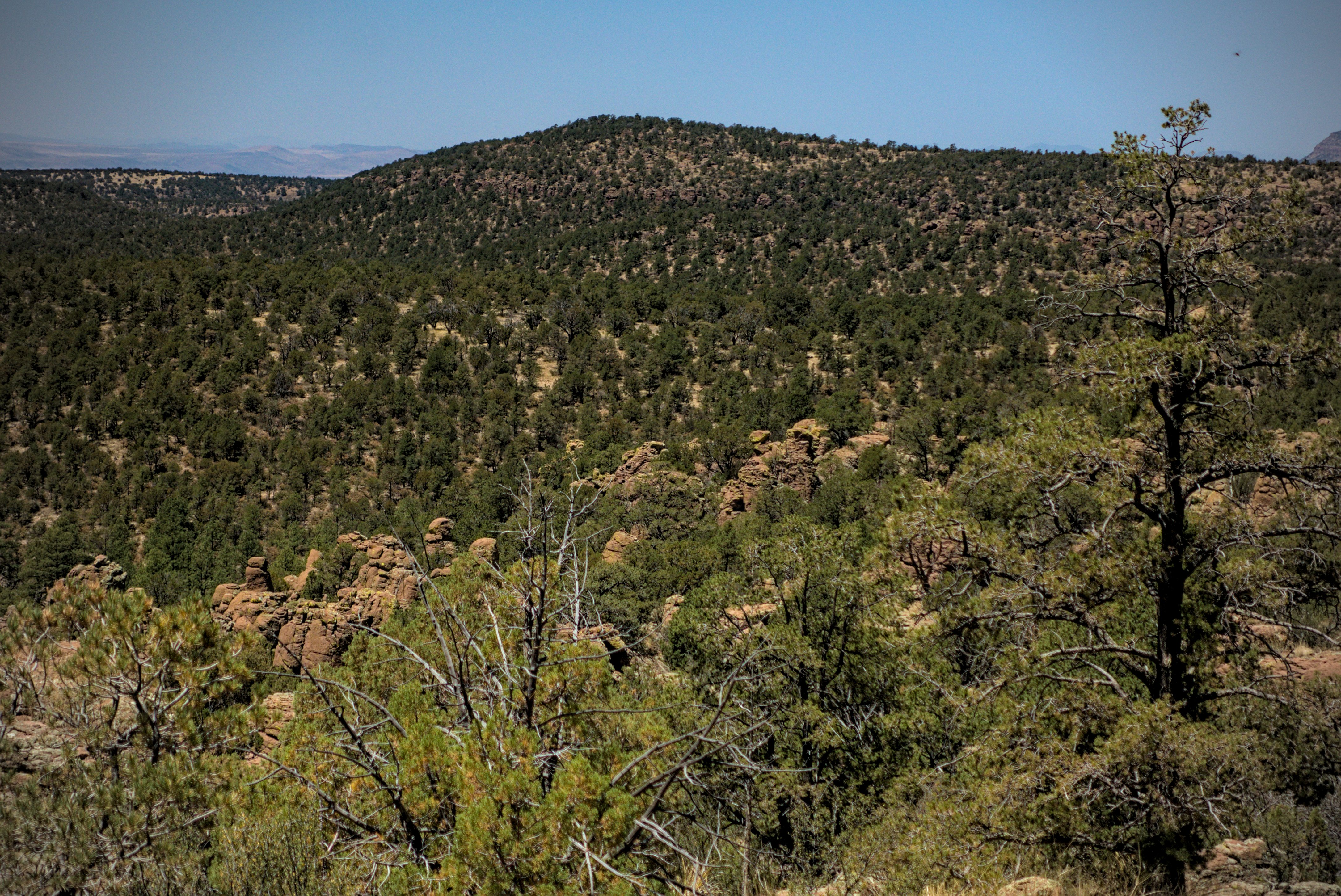
Looking back down to the Garden from Tadpole Ridge, getting close to camp.
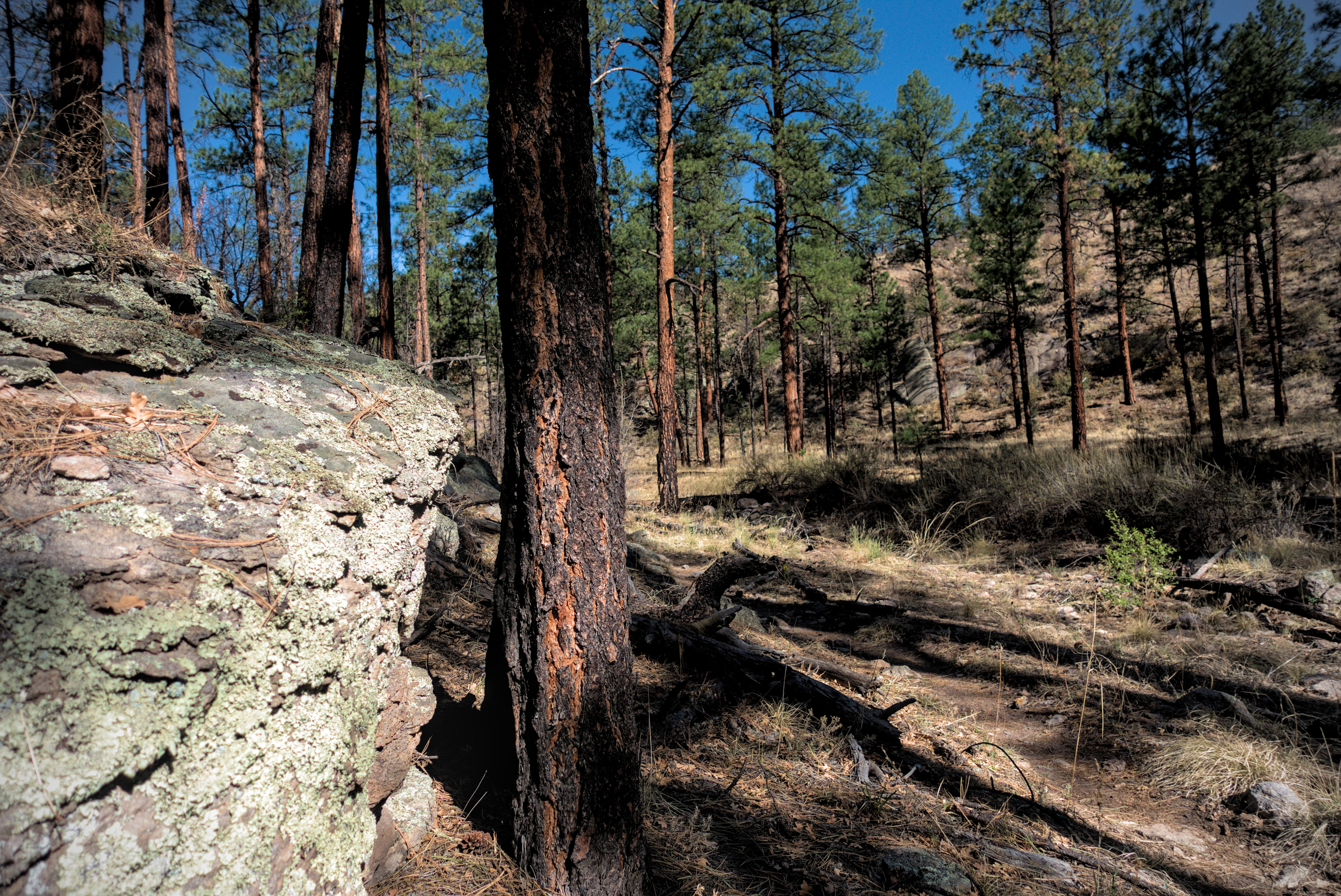
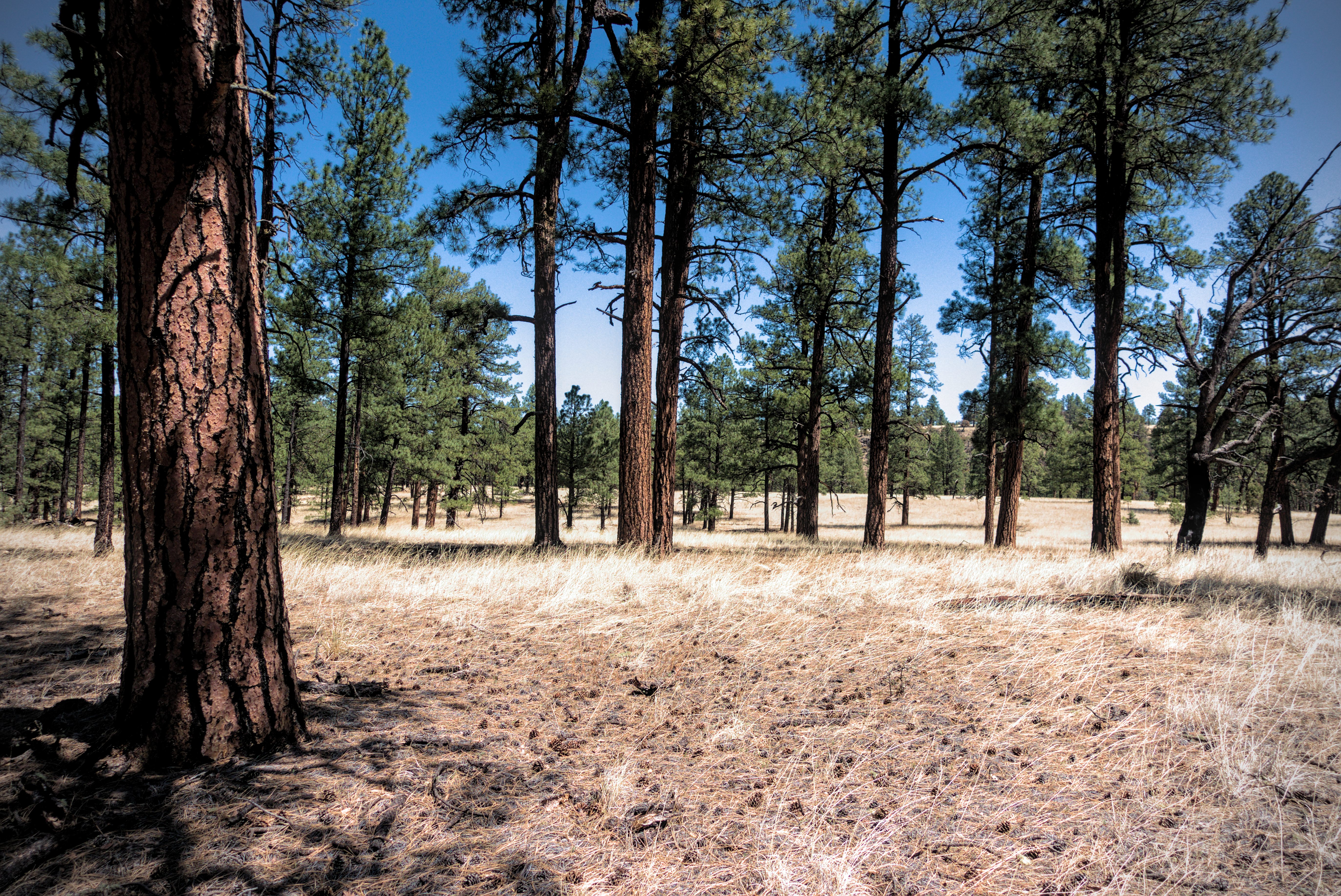
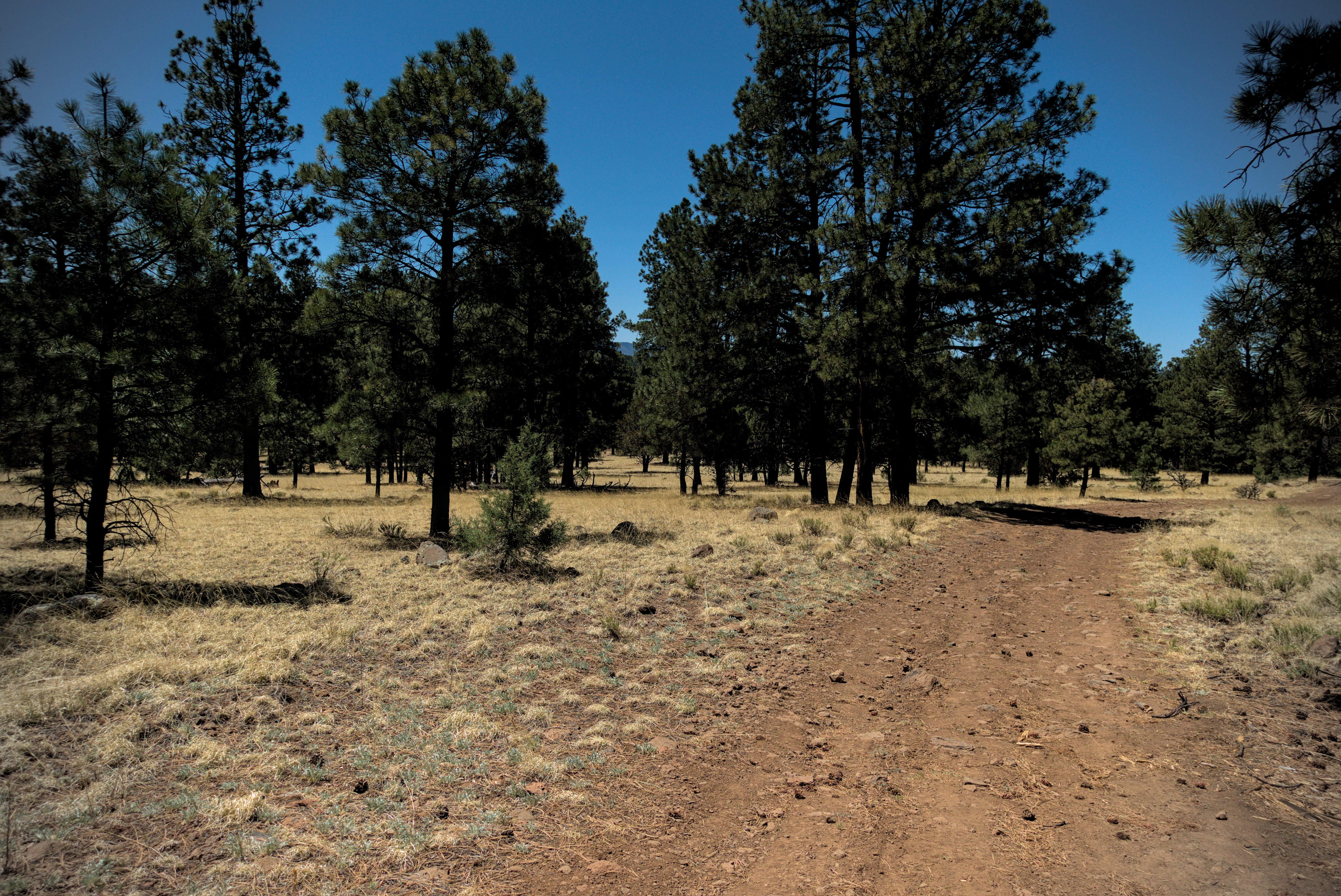
Eventually we climbed above this to higher forest that reminded me of the lovely pine country on Burro Peak. We stopped at a spring for water.
I'm resting at the pleasant spring on the south side of Tadpole Ridge.
View from the spring. People had placed rocks artfully to be able to scoop
more water.
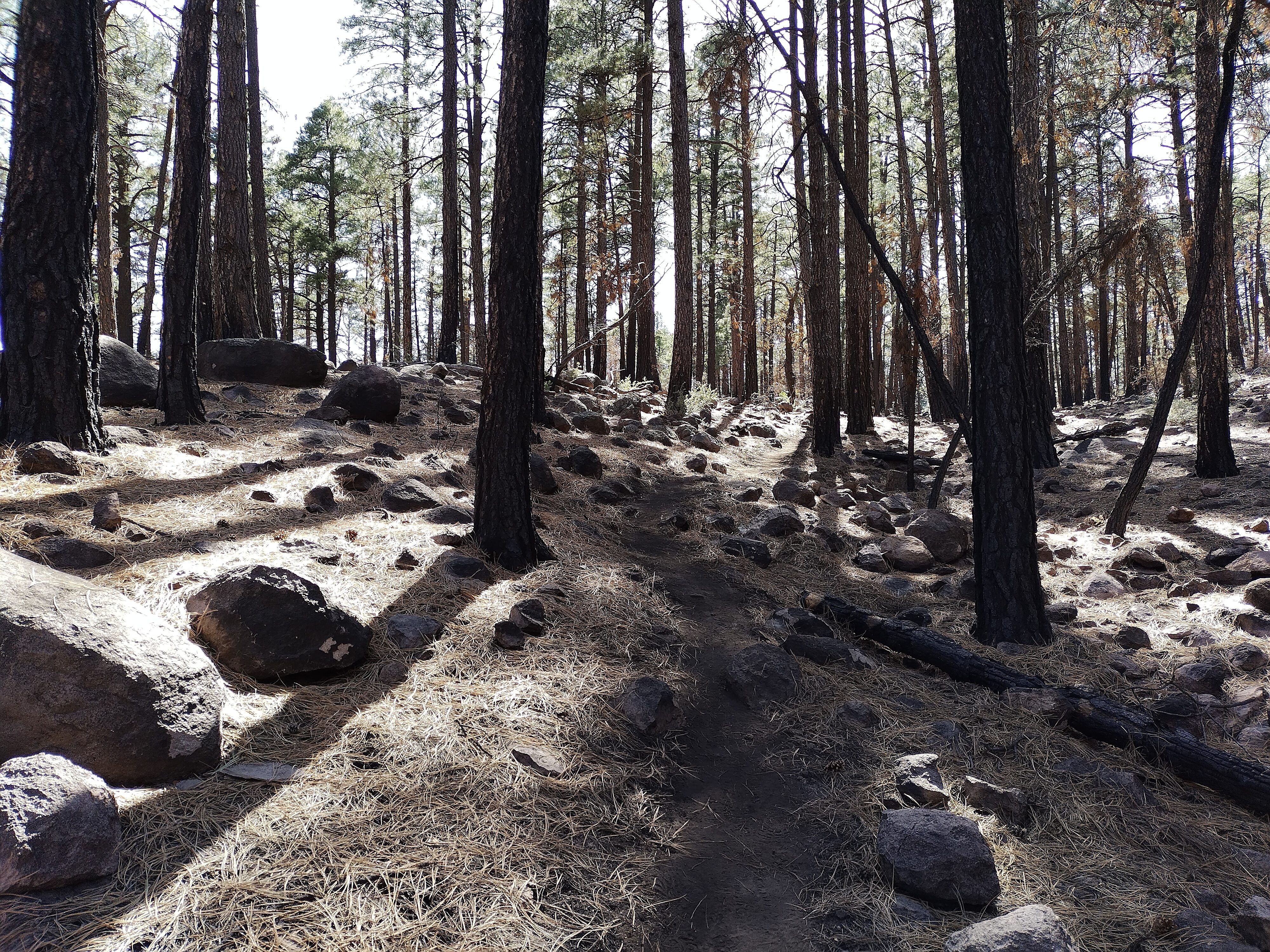
The forest above the spring.
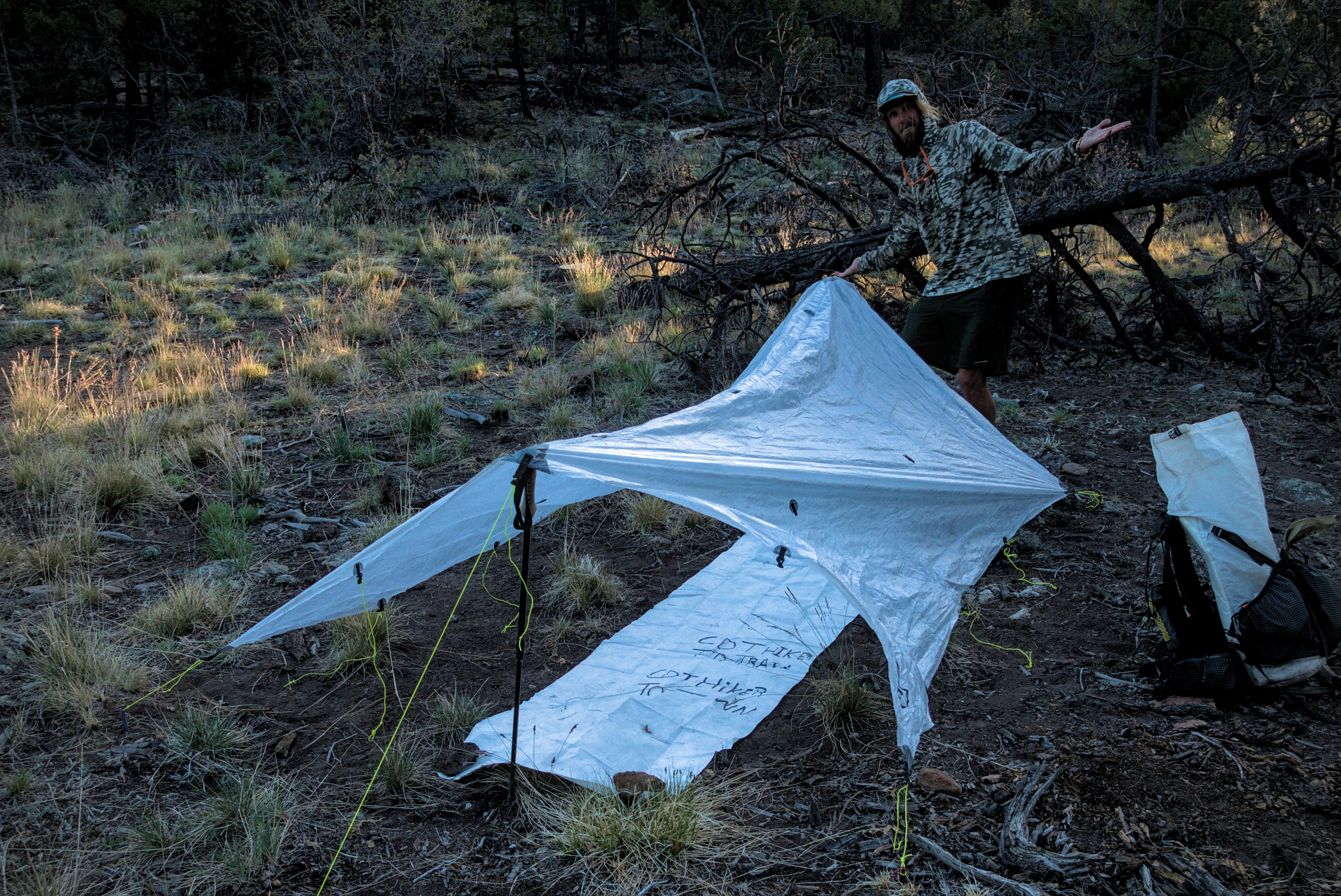
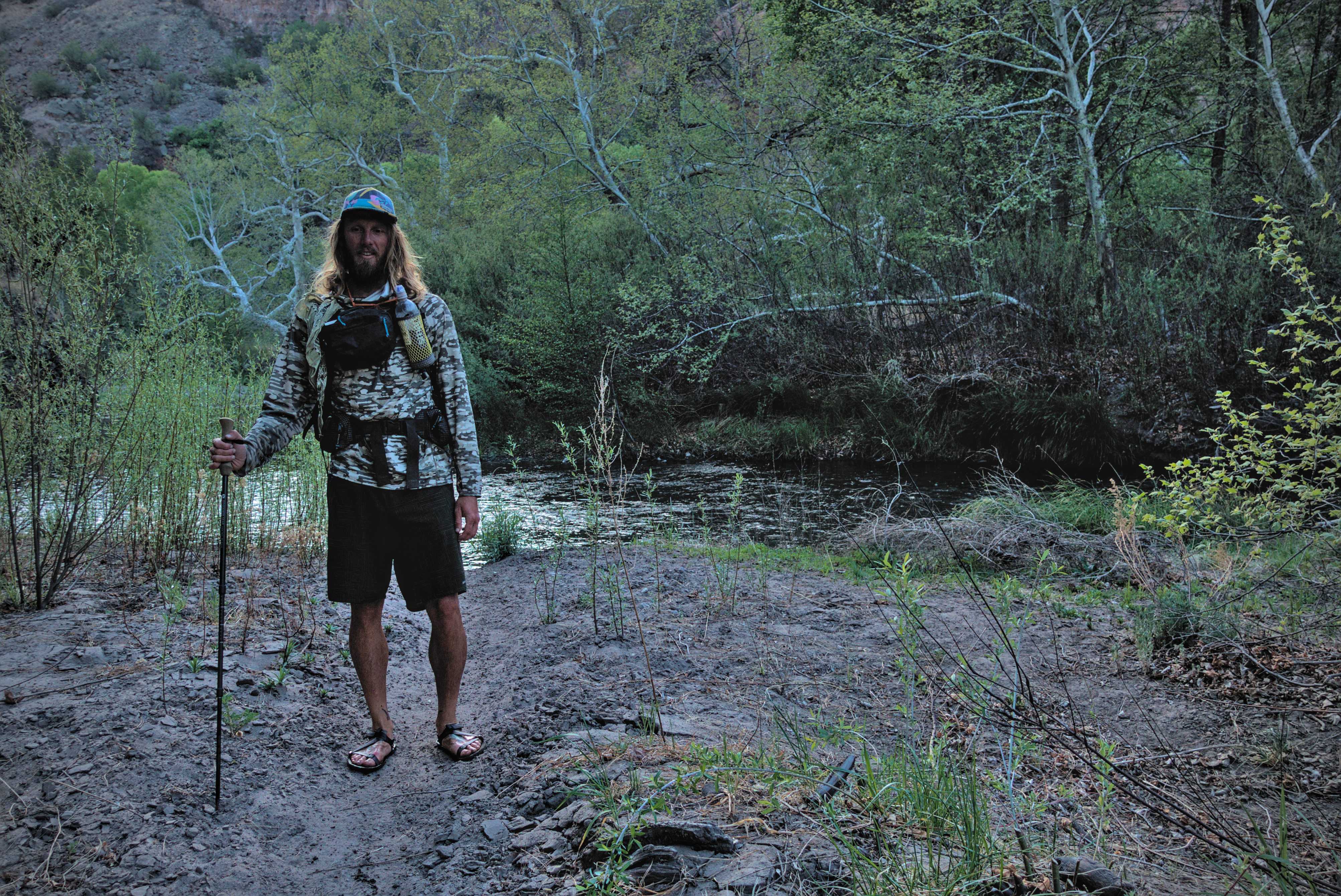
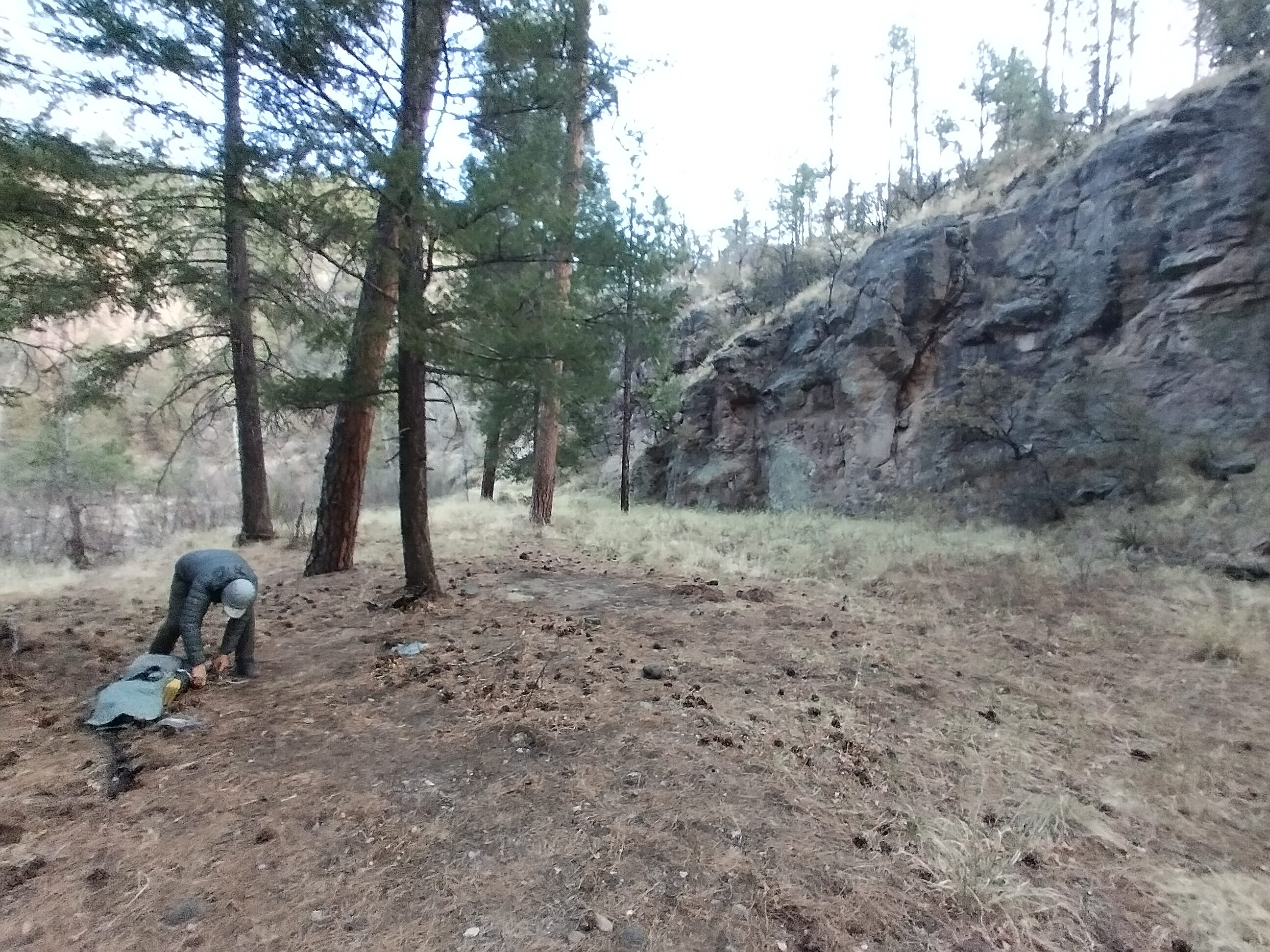
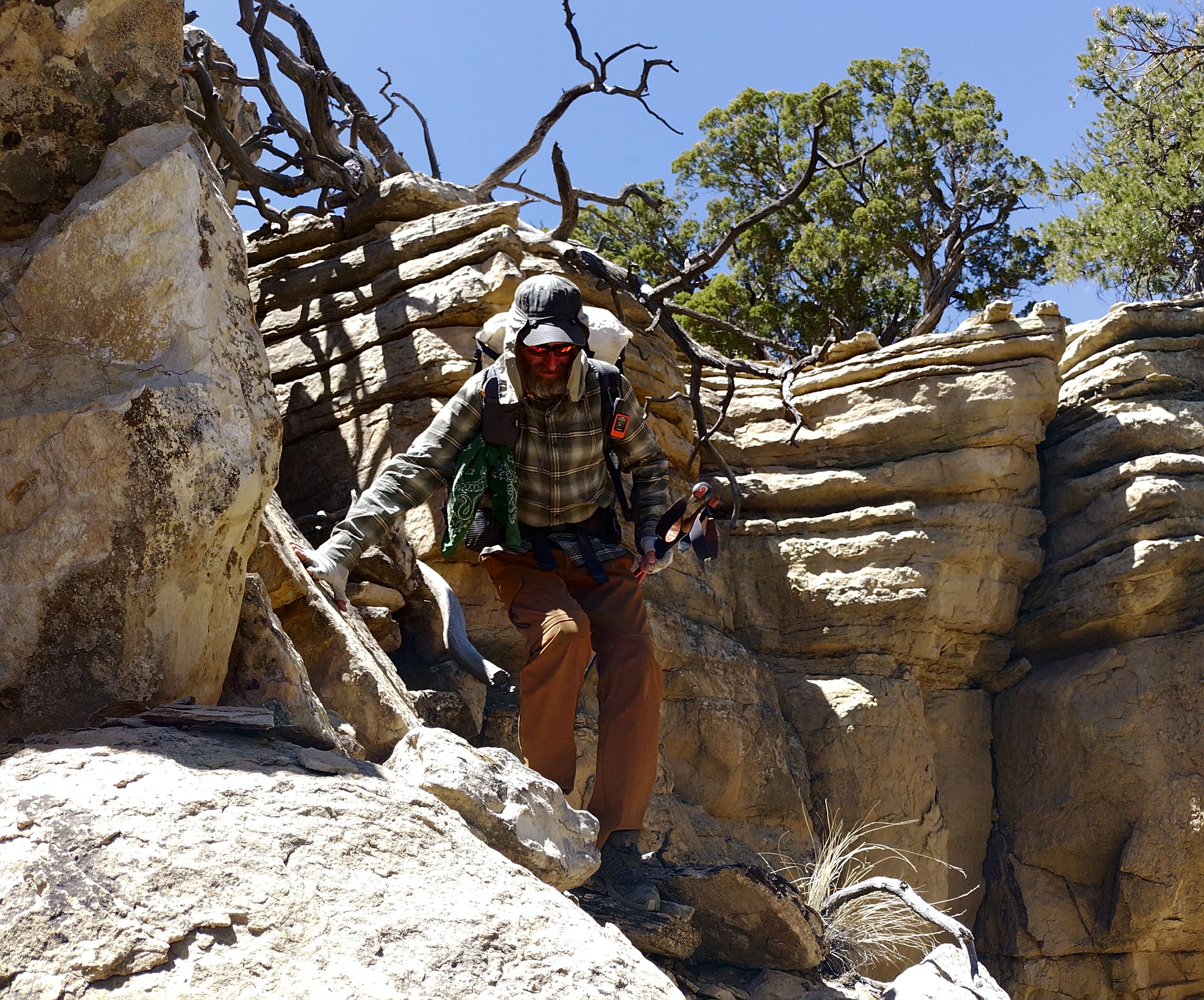
Lemonhope shows off his good pitch. This is how you travel light!
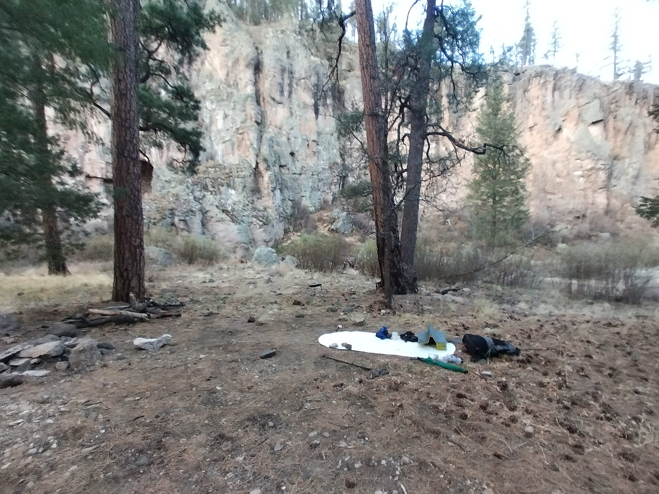
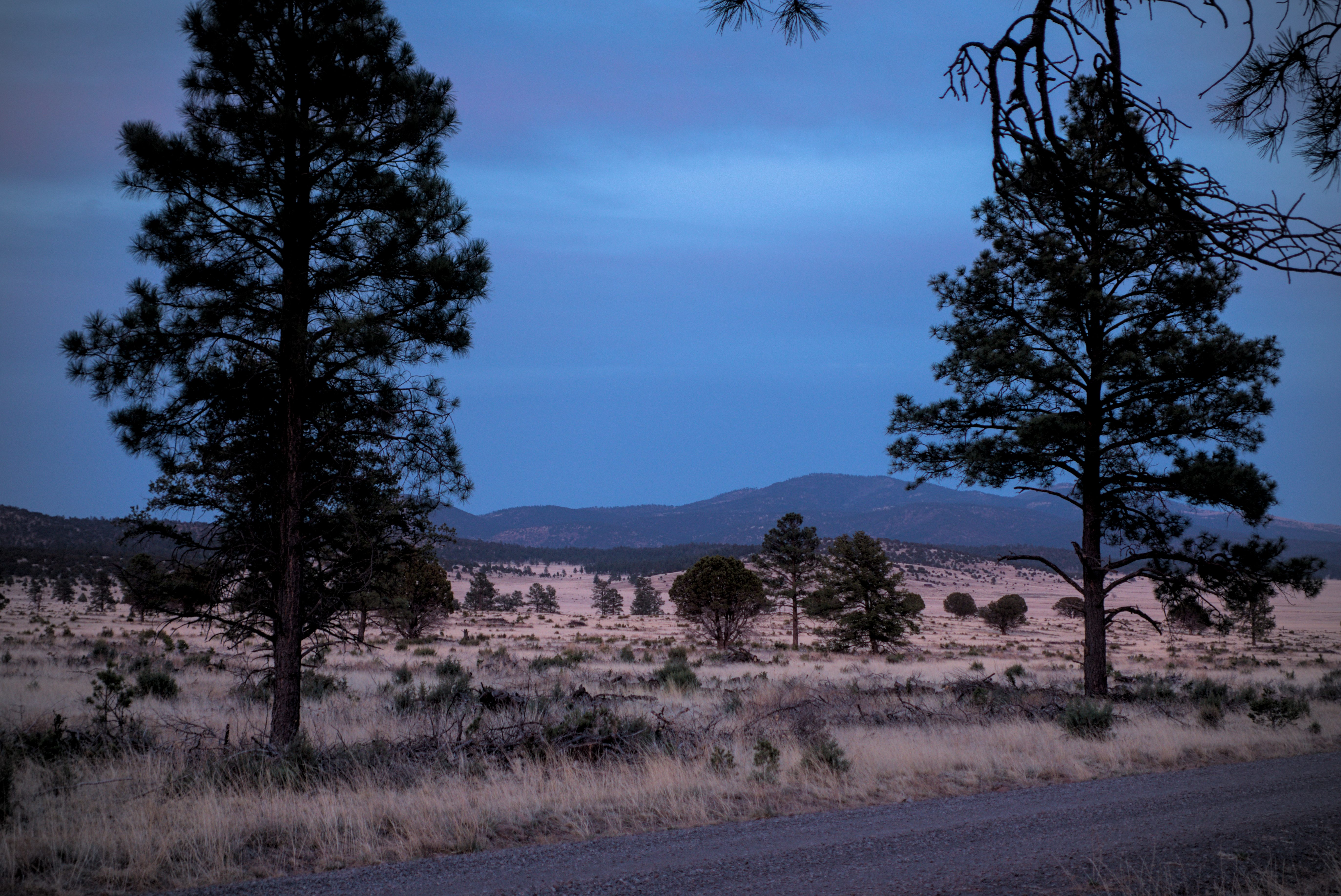
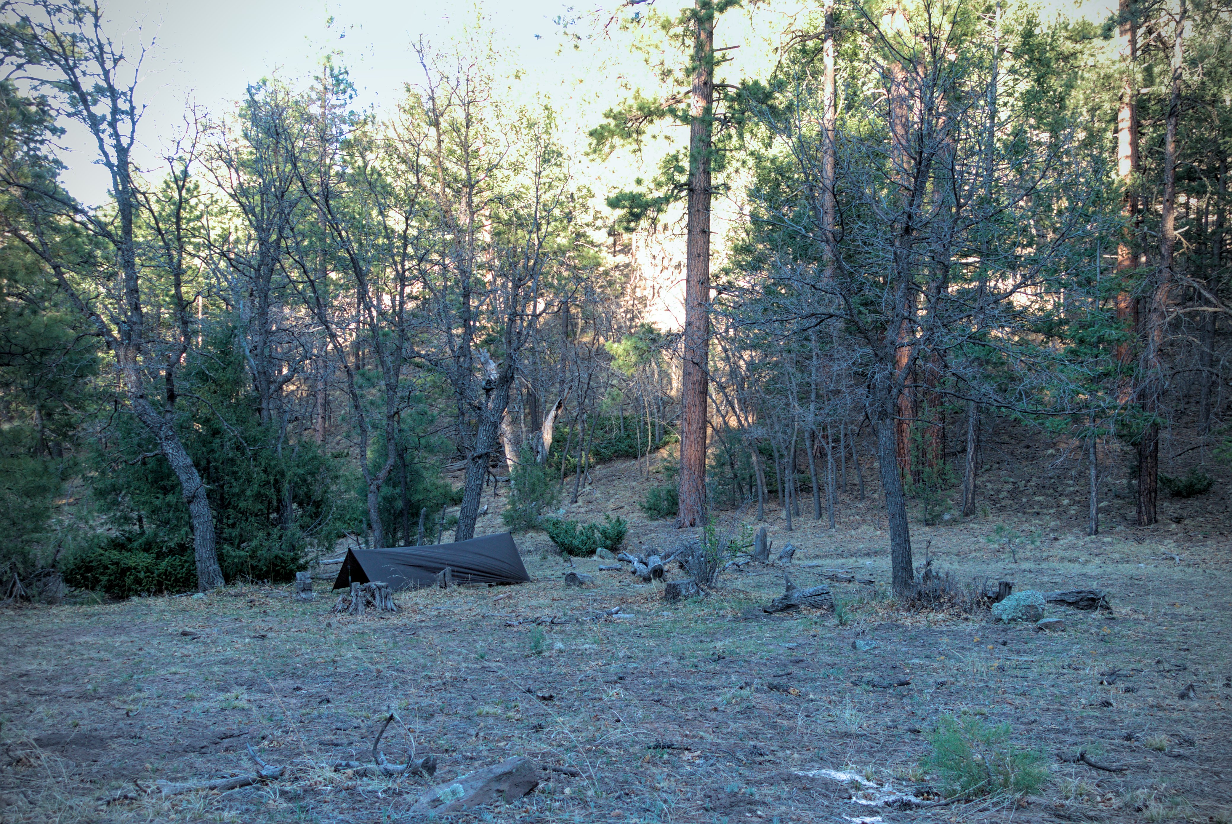
Evening at the tight little pass above Sheep Corral Canyon.
It seemed good to camp at a mountain pass. The next day we'd drop down into the Gila River and start a whole new phase of the trip.
We ate dinner as the sun went down and it started getting cold.
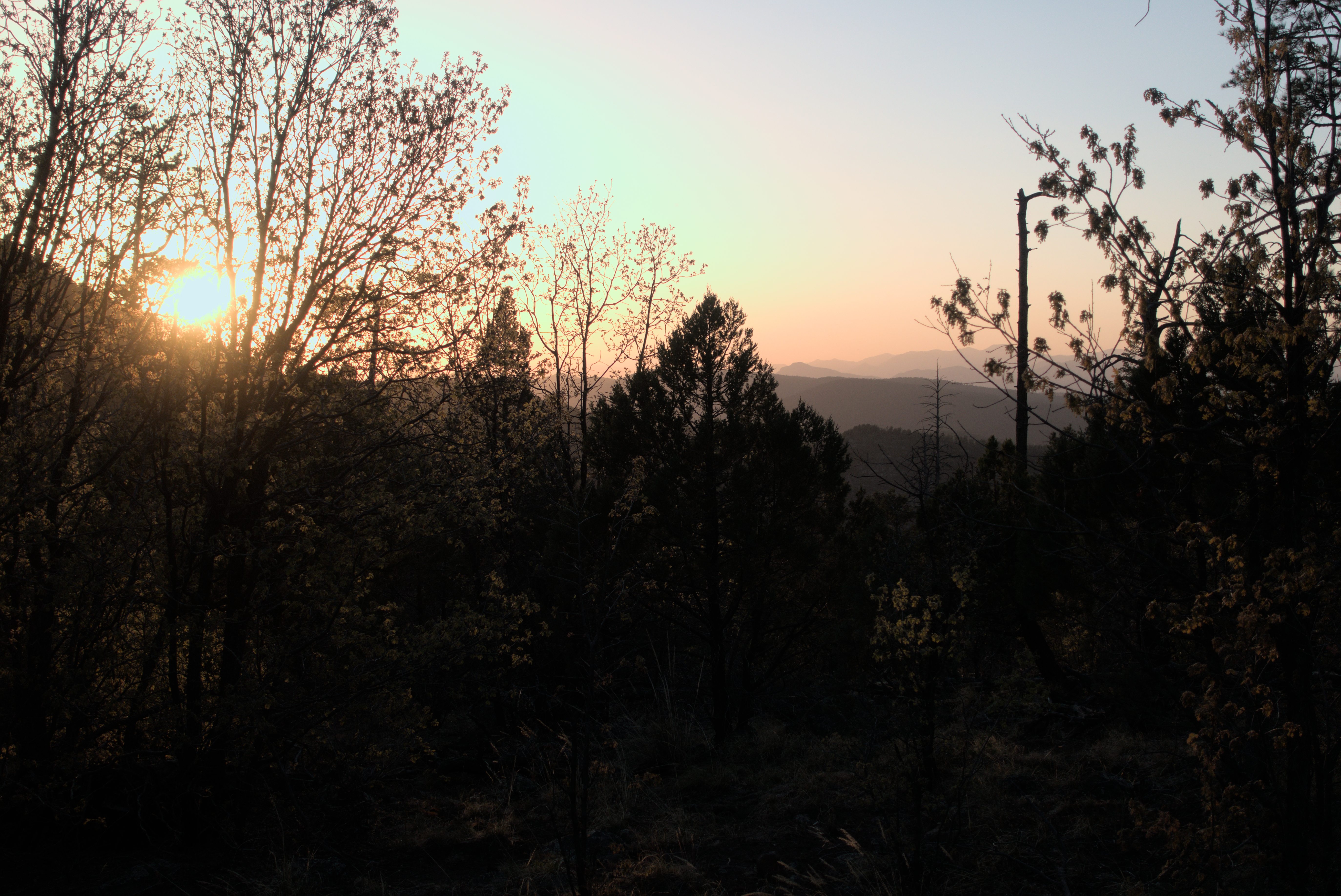
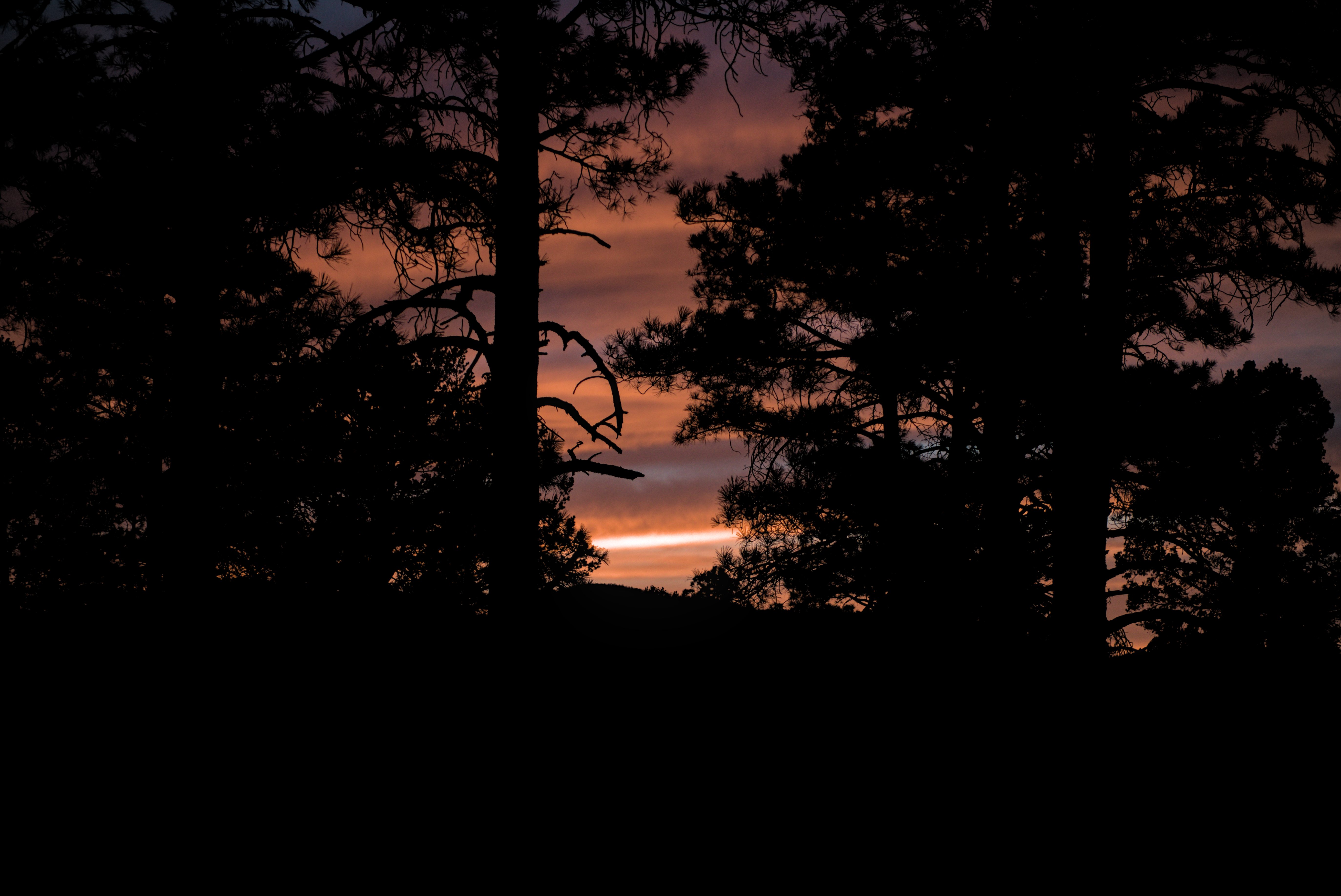
Goodnight, Gila National Forest!
Goodnight, Lemonhope.
April 30, day 10 - 21 miles
Down from the forest into the canyon. Walking through water for mile after
mile...
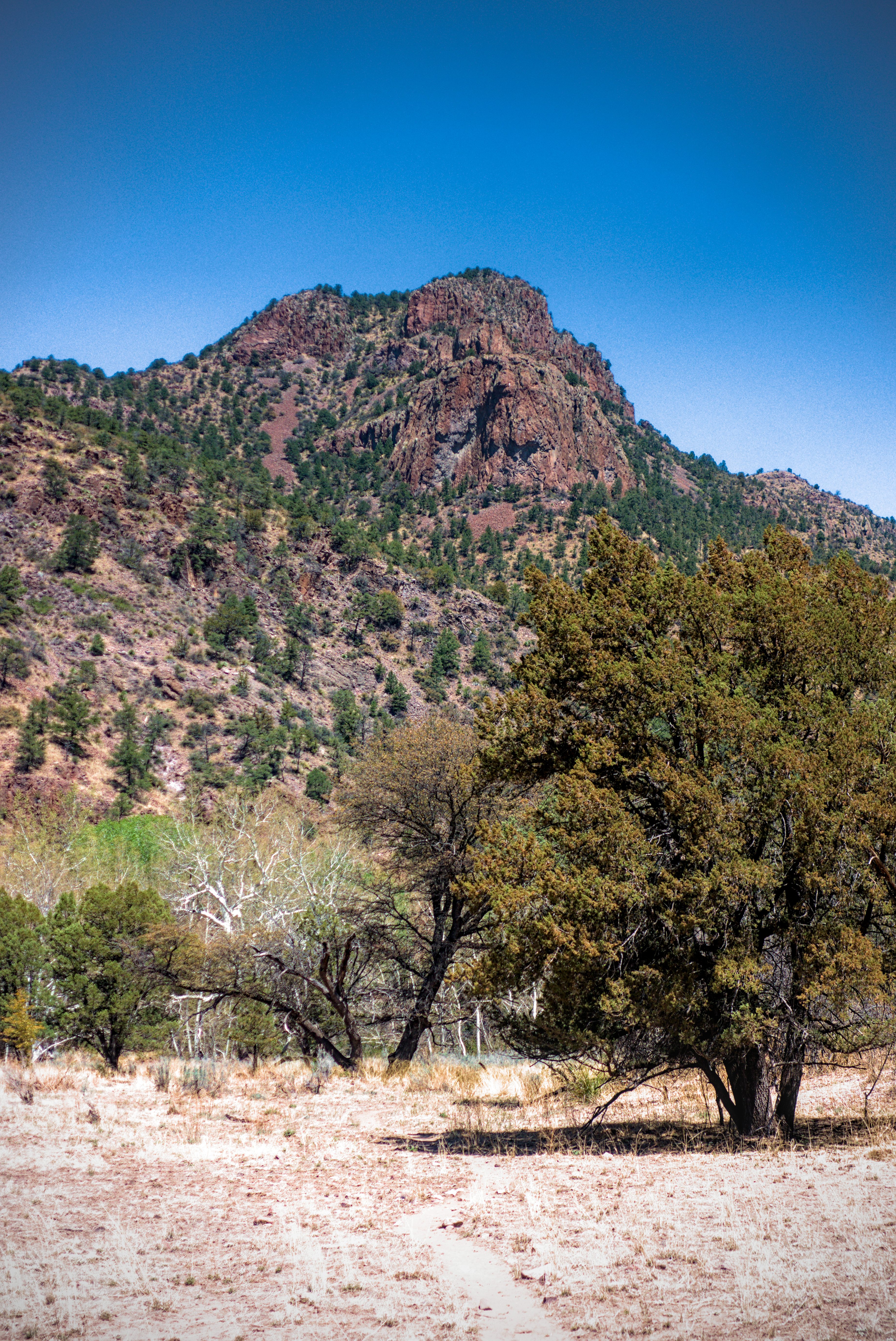
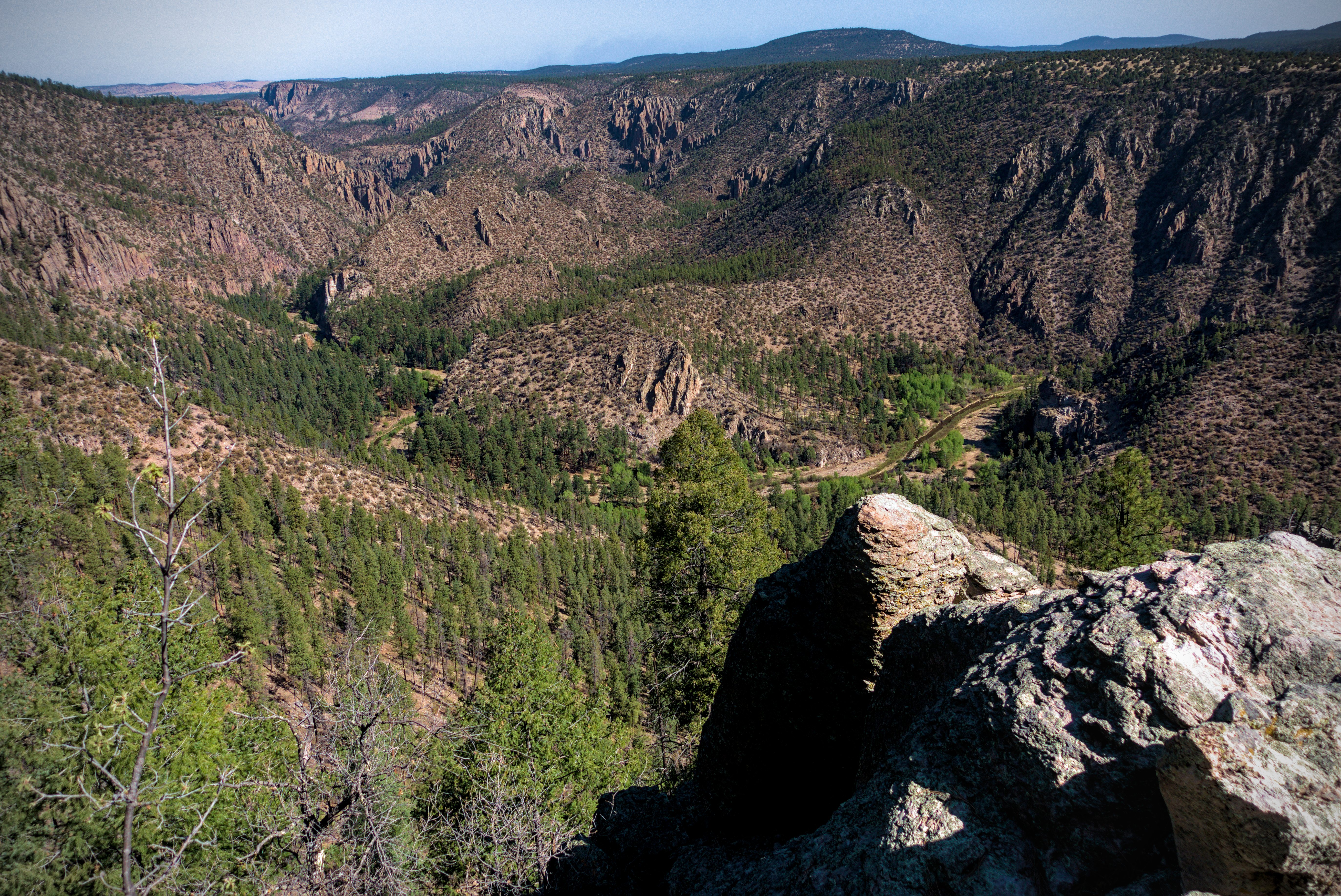
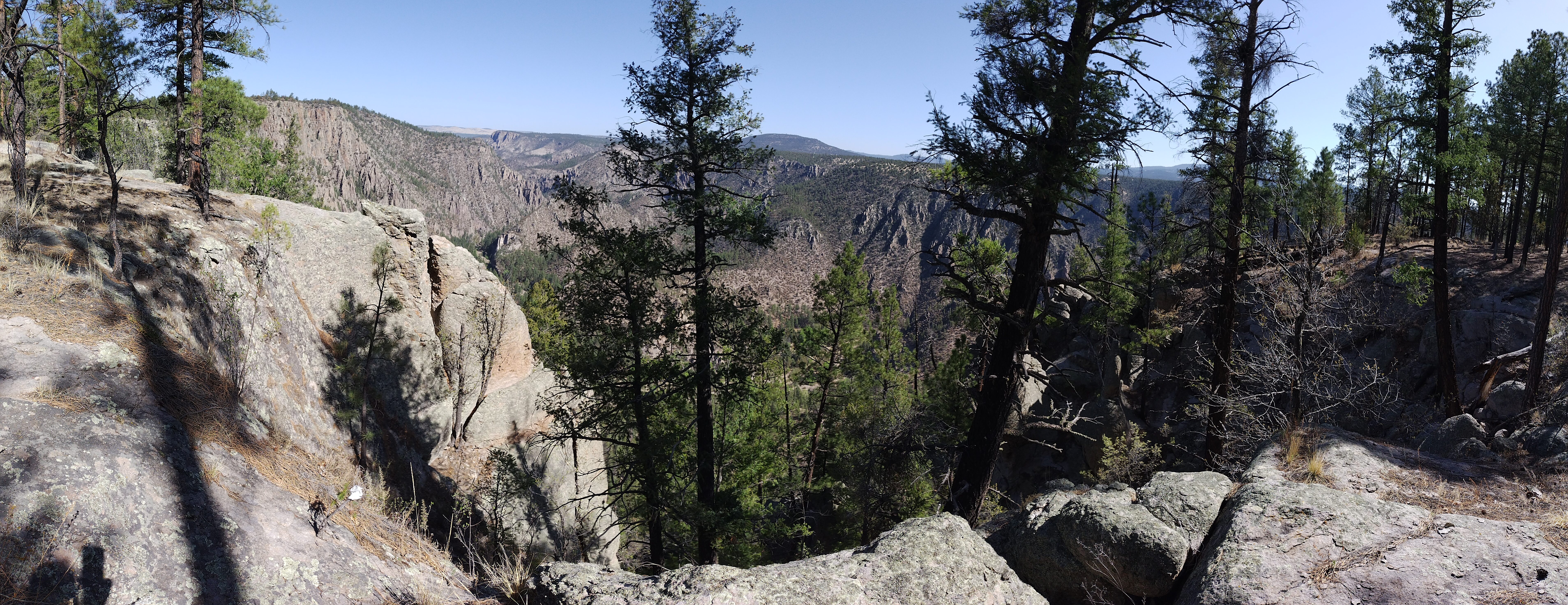
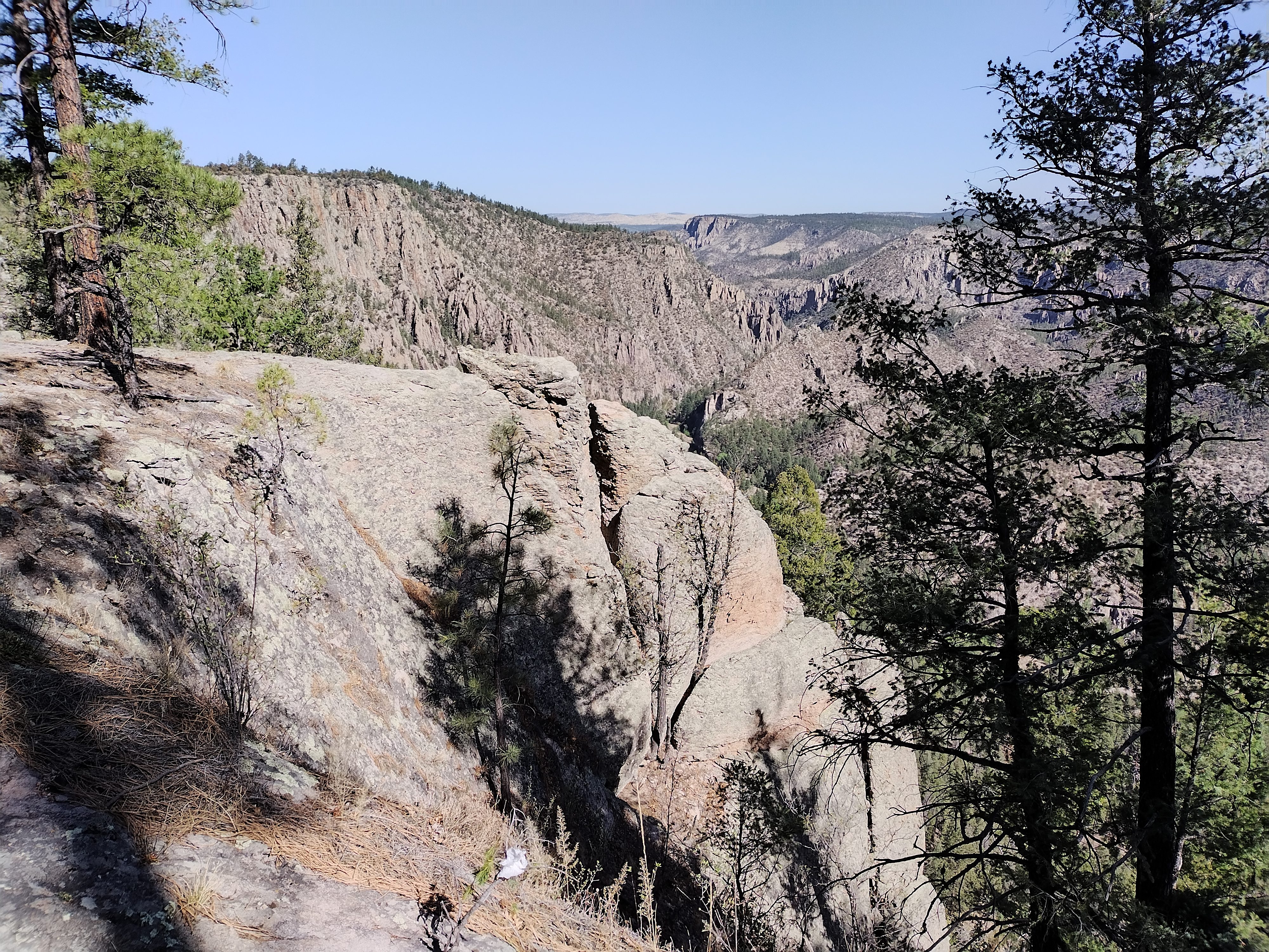
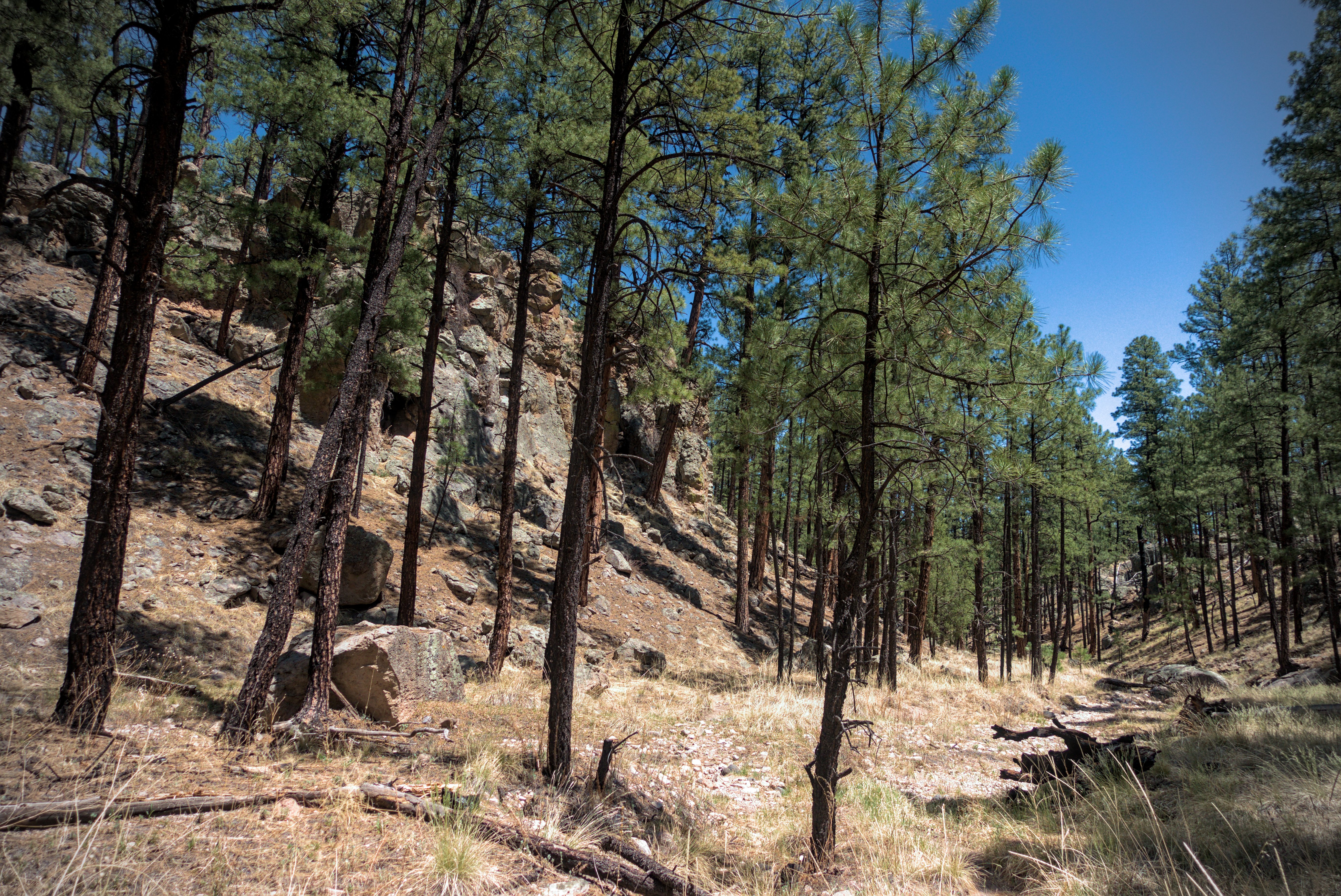
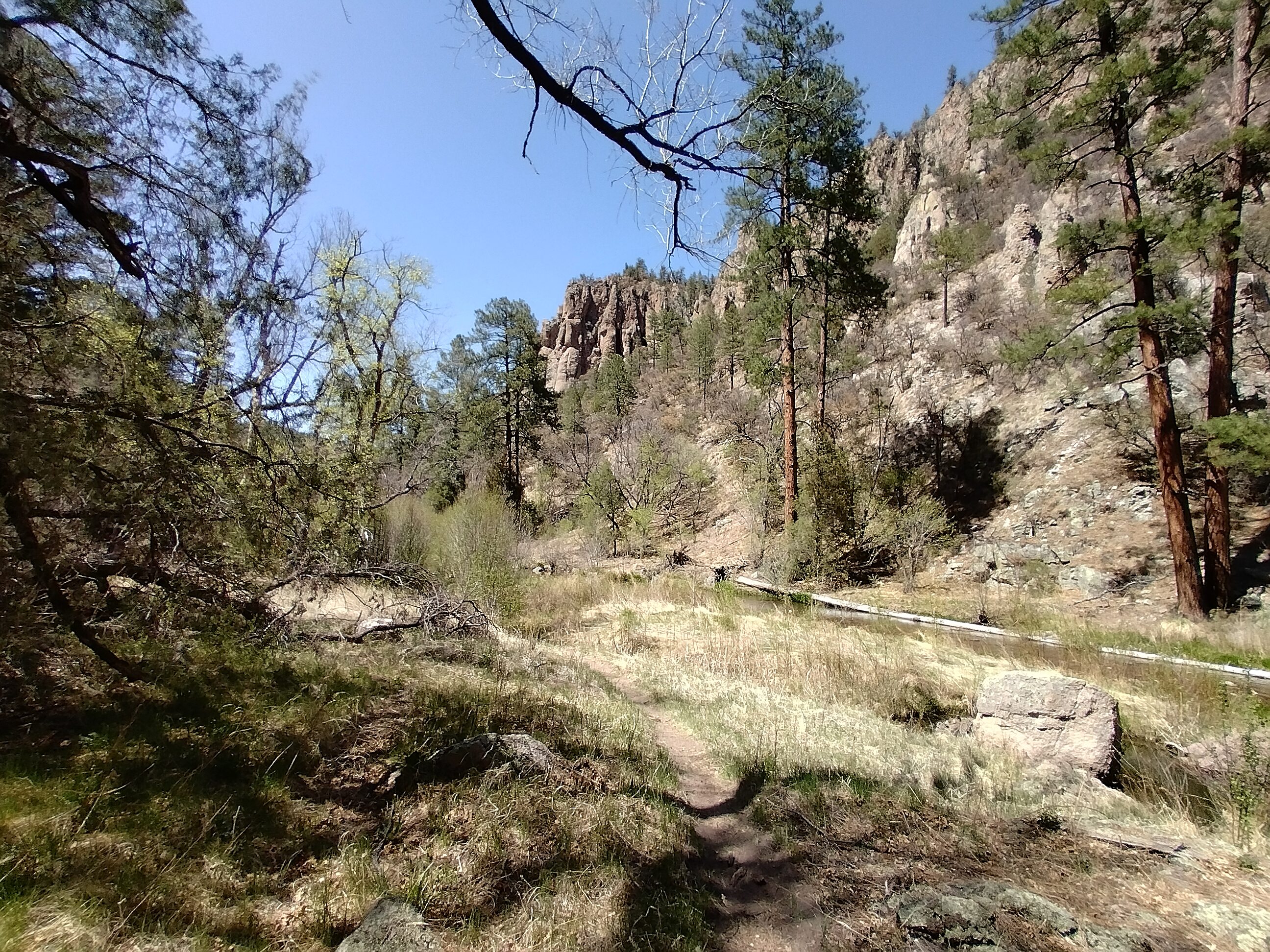
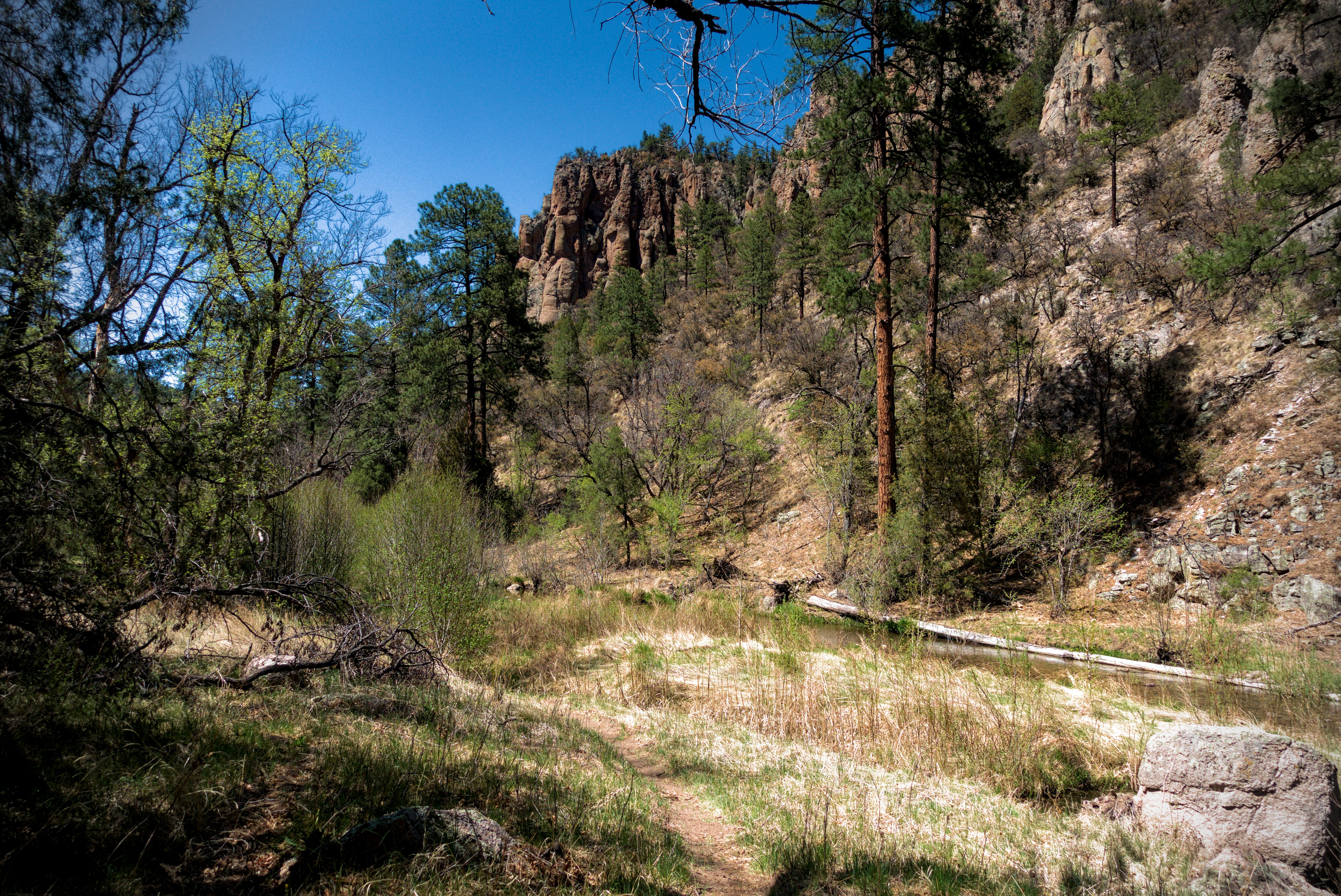
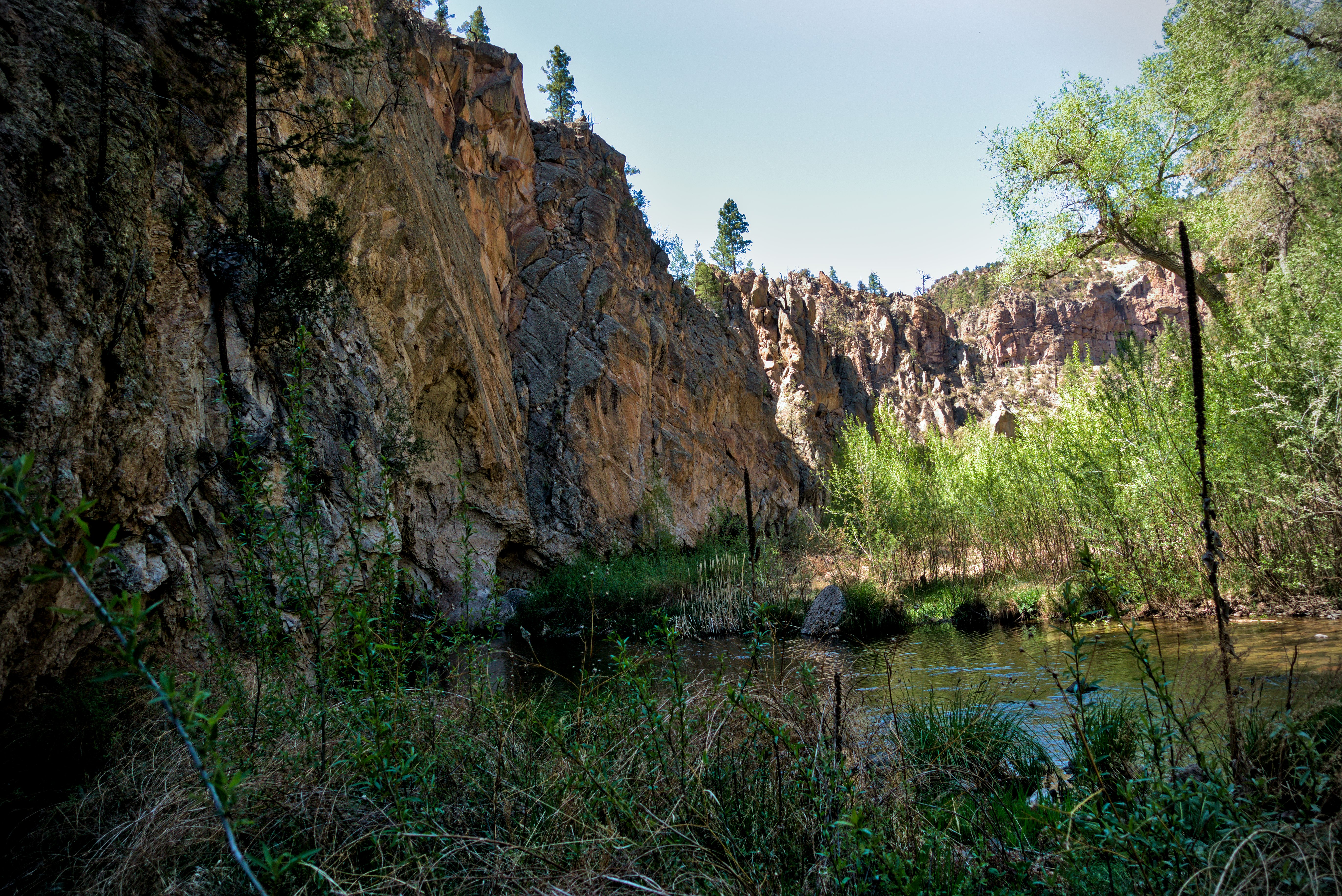
It was a chilly morning but I was able to warm up by walking. Down from the pass, we walked through a forested canyon, then up onto a ridge. The trail started switchbacking down into the Gila, with interesting views to the opposite walls of the canyon.
On the Sapillo Trail leading down into the Gila River Canyon, straight ahead.
Walls of the canyon approach...
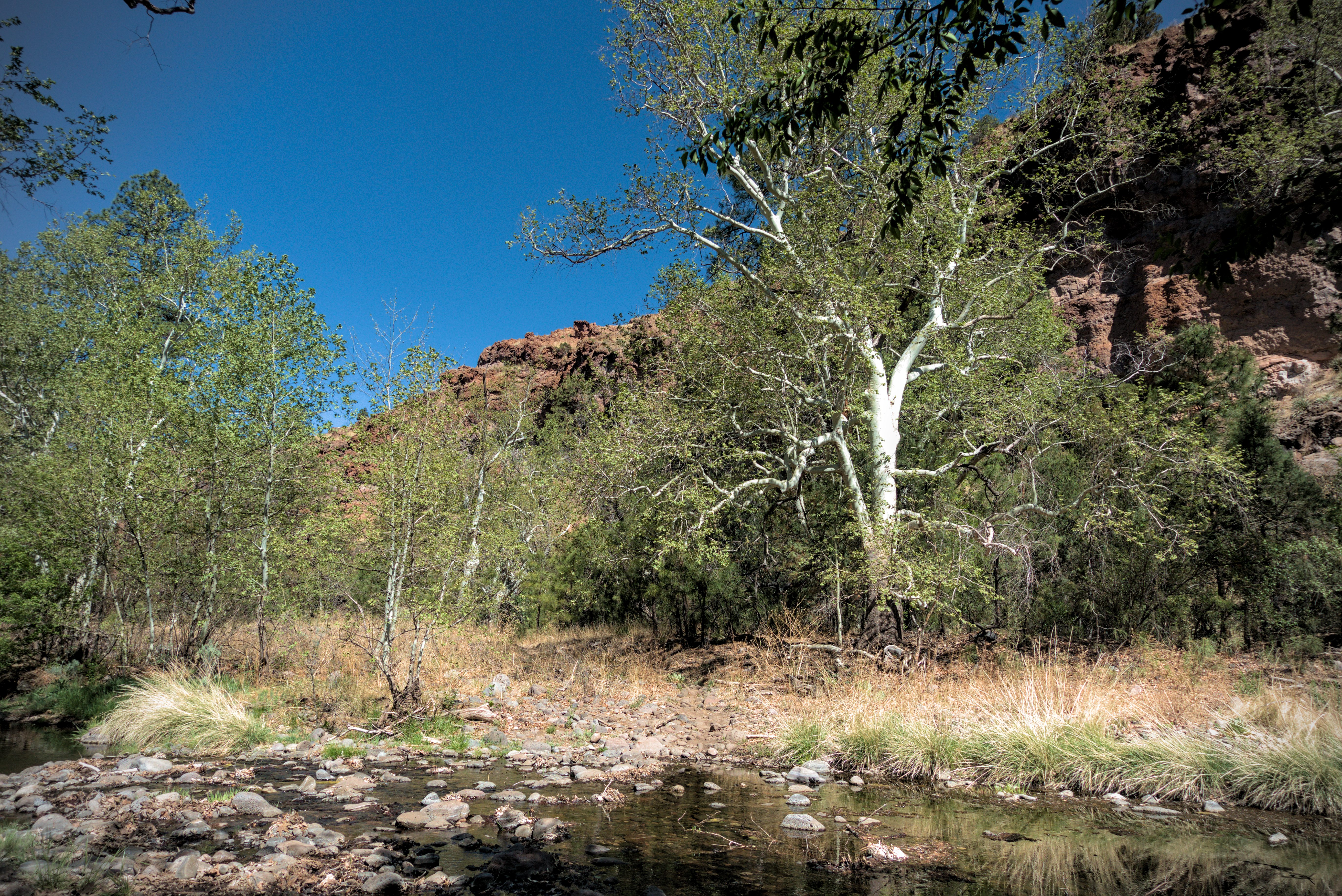
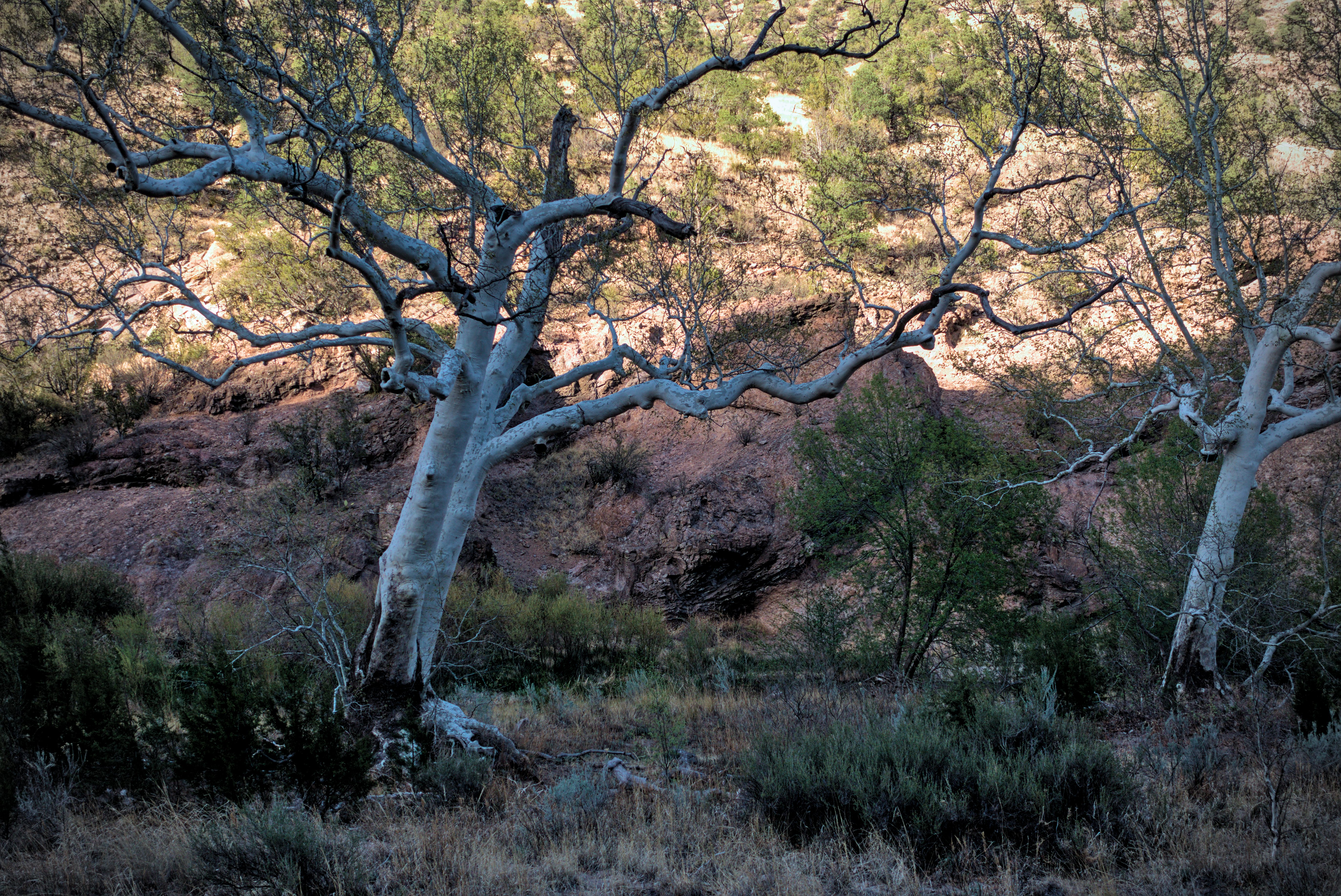
On the canyon floor. The sycamore trees were beautiful.
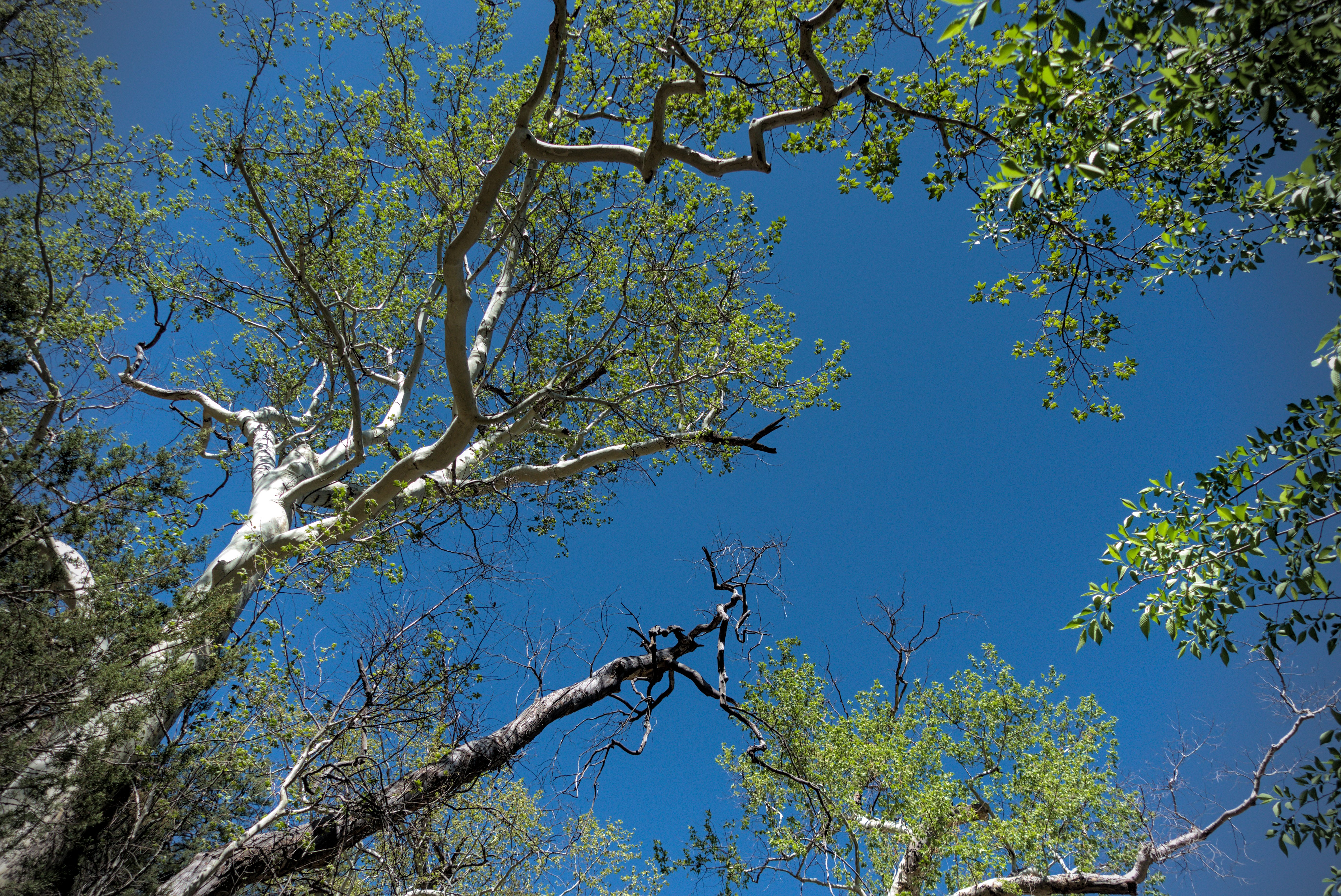
Lying under a sycamore tree.
I was a bit afraid of all the river crossings, thinking that I'd get blisters because of them or have other foot problems. However, that never happened. In fact, as the day wore on and the miles added up, I looked forward to sloshing into the water yet again because the cool water reduced swelling in my feet and kept me feeling refreshed. True, if you are away from the water a while, your feet and socks never really dry, and then the sand and dirt gets annoying. But at the next stream you'll emerge freshly washed again, so it's not so bad.
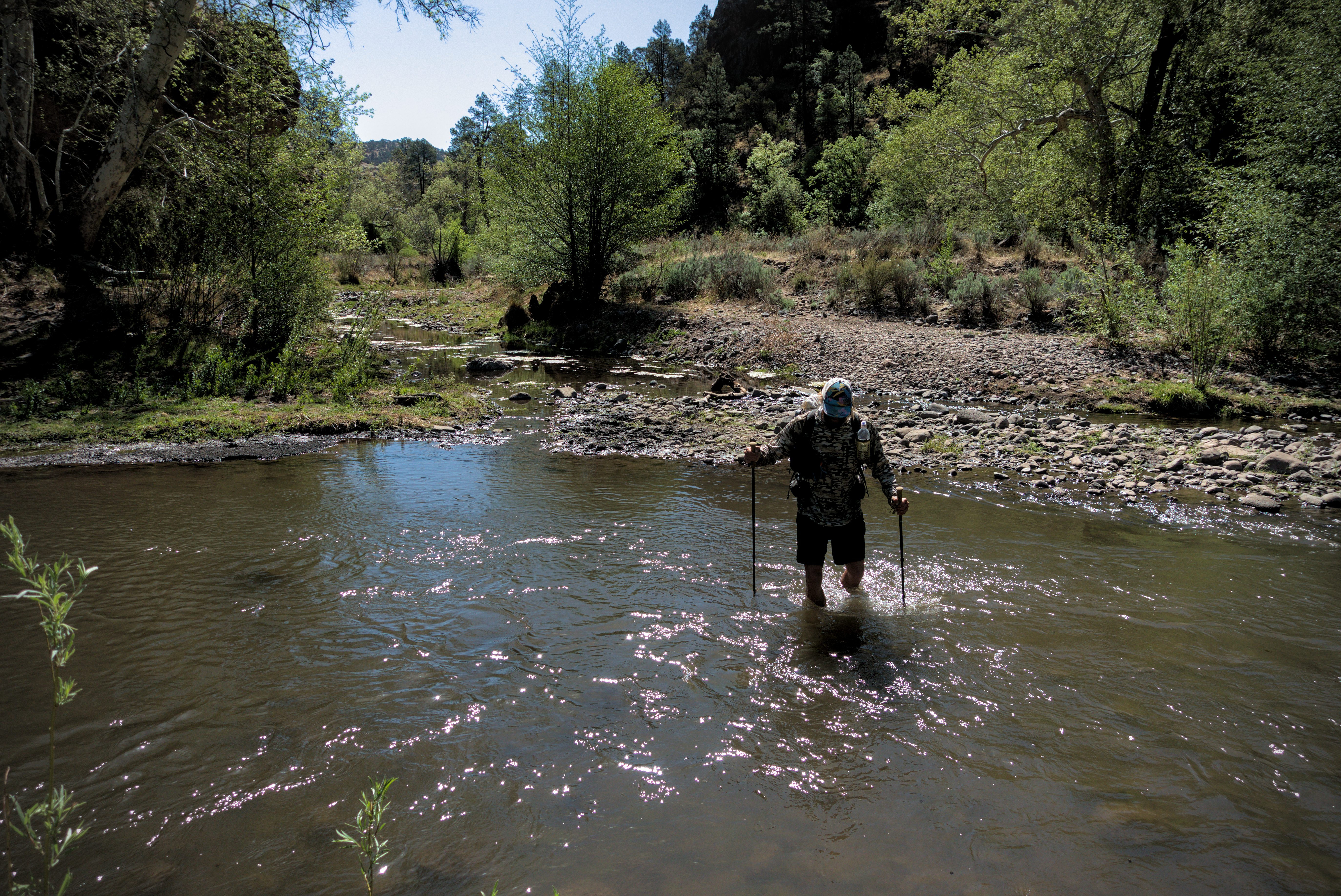
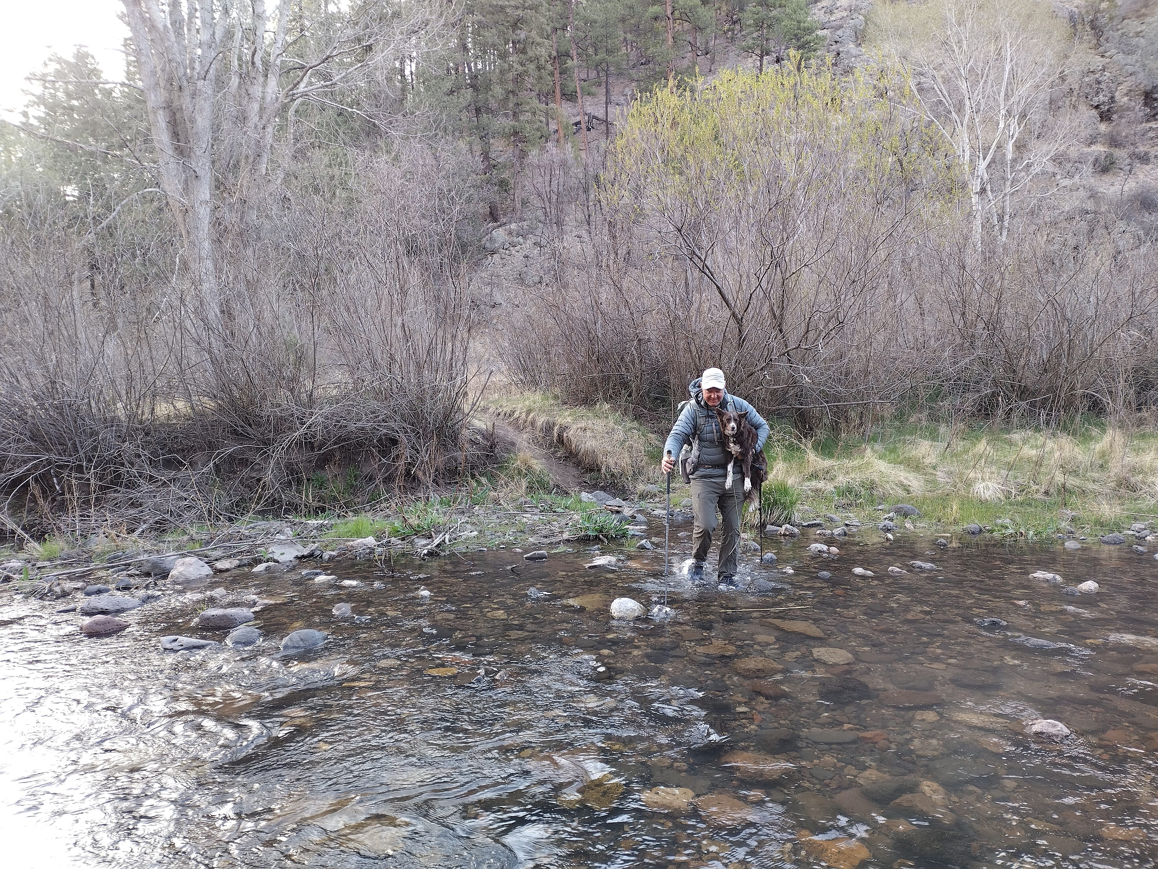
Lemonhope makes one of more than 50 river crossings this day.
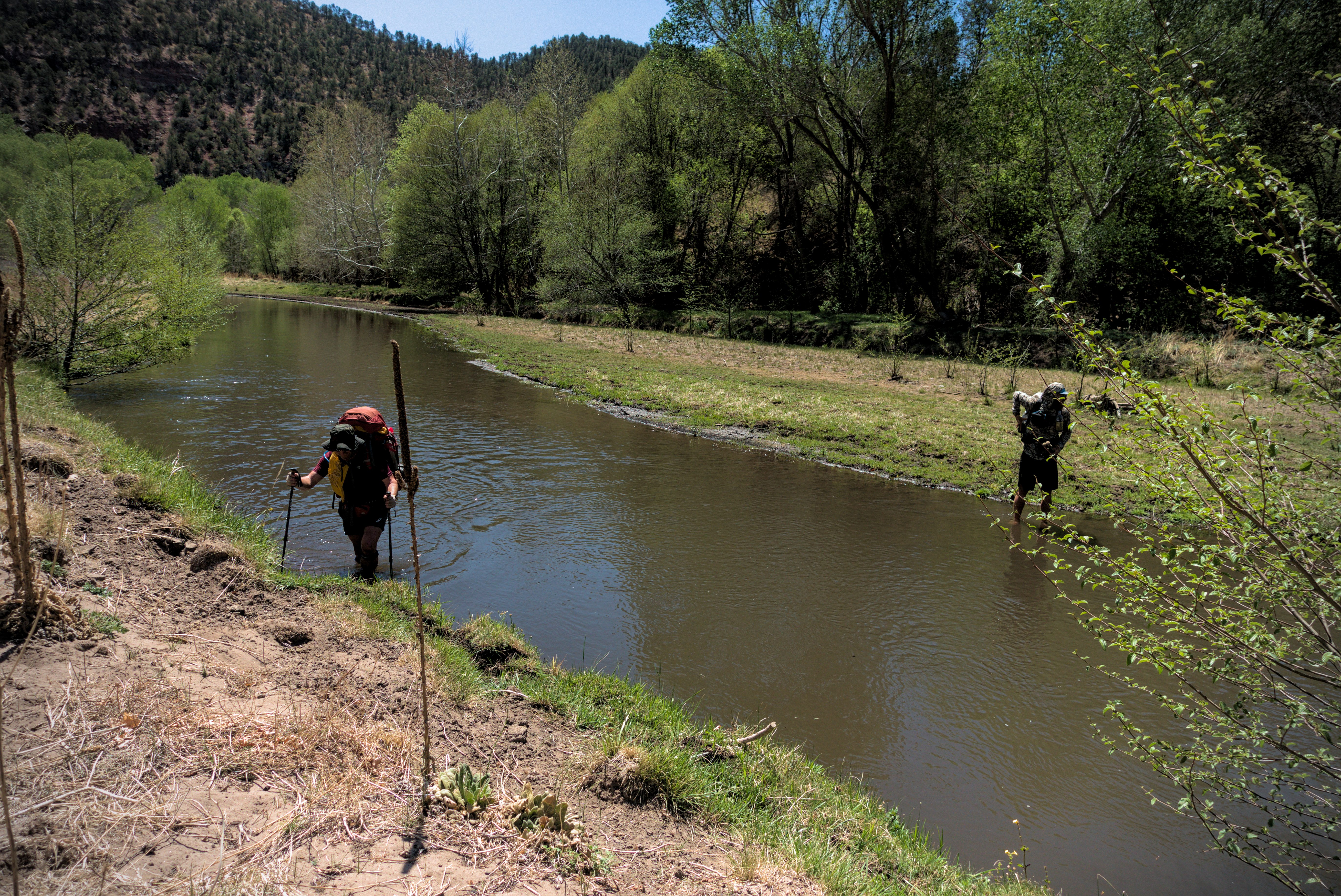
Snail Trainer (from England!) and Lemonhope crossing the Gila.
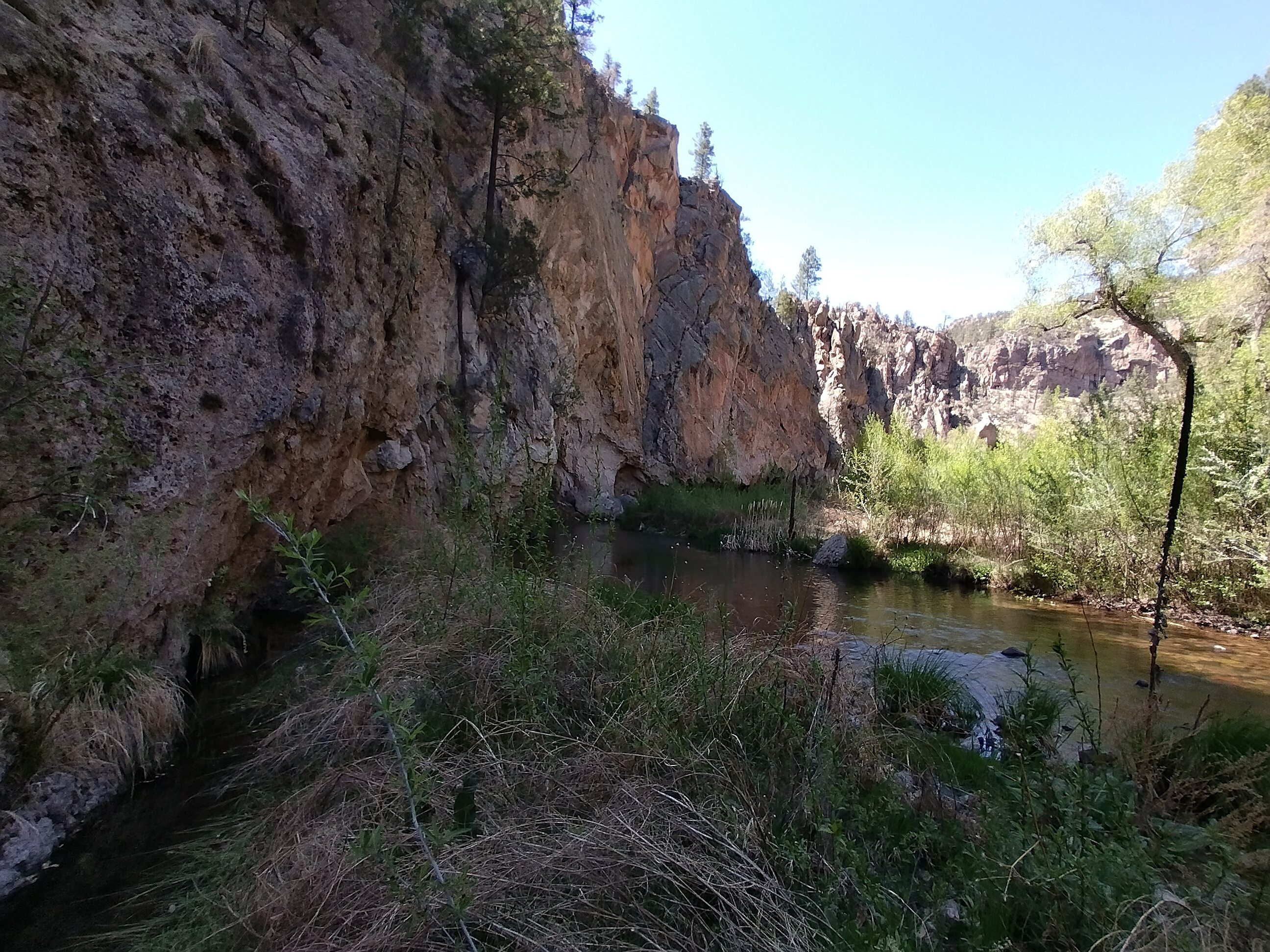
Impressive cliffs above the river.
In the water yet again...
As for the trail, it breaks up sometimes and I found myself walking on the opposite side of the river than the main trail. "Oh well," I'd say, then just forge ahead on riverbanks and through scrub trees to a crossing, slosh my way across and end up on the main trail again.
In the heat of the late afternoon I surprised a rattlesnake. Wow, nothing woke me up like that rattling sound! Without getting a clear picture of it, I sprang back away into the bushes in the opposite direction then made a wide arc around the nest of rocks and sticks where the snake was (happily I didn't find another snake).
Later, I saw some kind of garden snake, and later still I heard a rattle nearby and scrambled away without investigating.
I got the idea that dang, snakes quite like water. In the rest of the trail I'd see snakes a few times, including in Colorado (though not poisonous snakes, so far as I know), but every time I saw one water was nearby.
Oh thank goodness, a bit of dry walking!
The canyon widened out in the late afternoon.
Lemonhope fresh from a crossing. He injured his foot pretty nicely along in
here by running into a branch.
I couldn't stop looking at the trees.
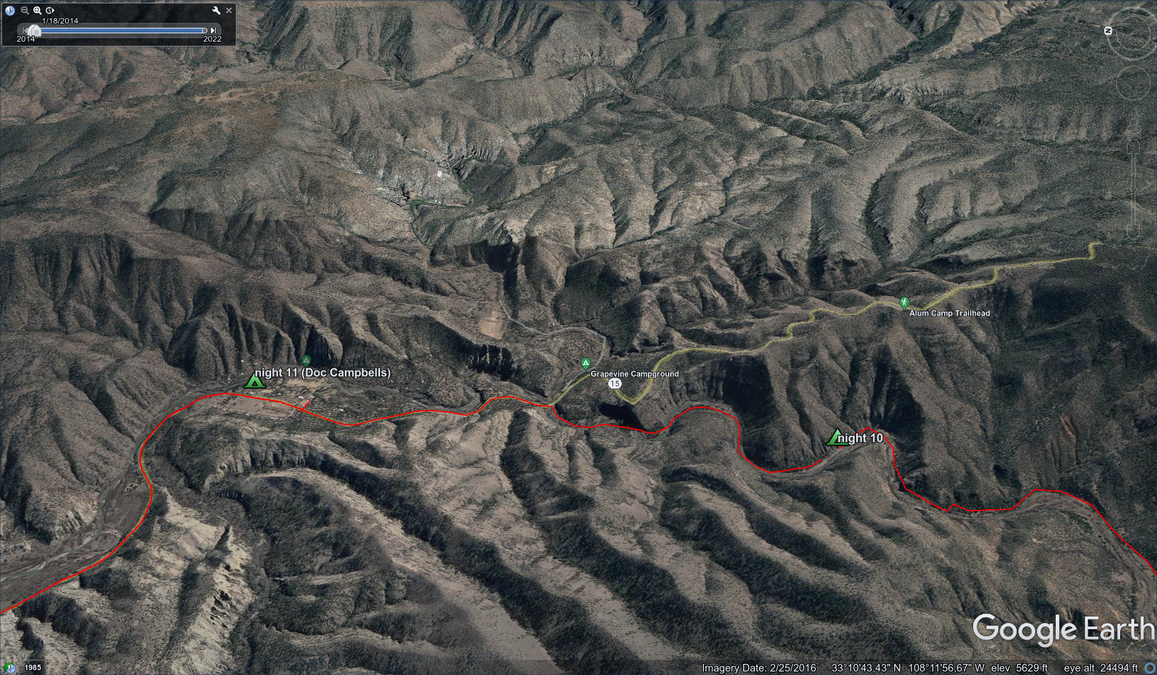
We arrived at a hot spring after 20 miles. It was only 3 miles to Doc Campbells, but it didn't seem worth it to keep walking because we'd just sleep on the ground there anyway. And boy, was I tired!
One thing that felt really nice was to go over and soak my feet in the hot water. I returned to our sandy camp. We chatted a while and went to sleep. Nobody came by.
May 1, day 11 - 3 miles
Basically a rest day...
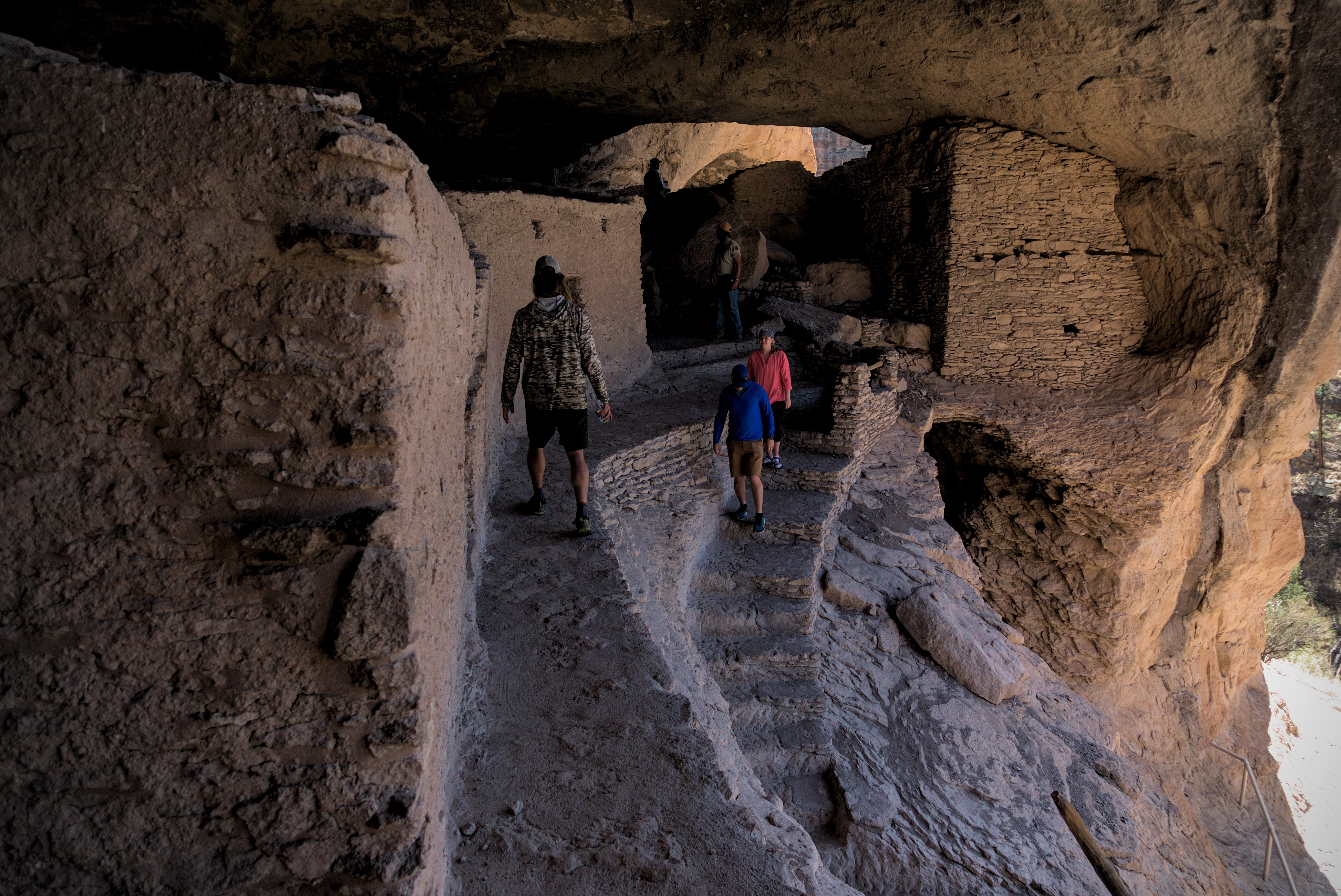
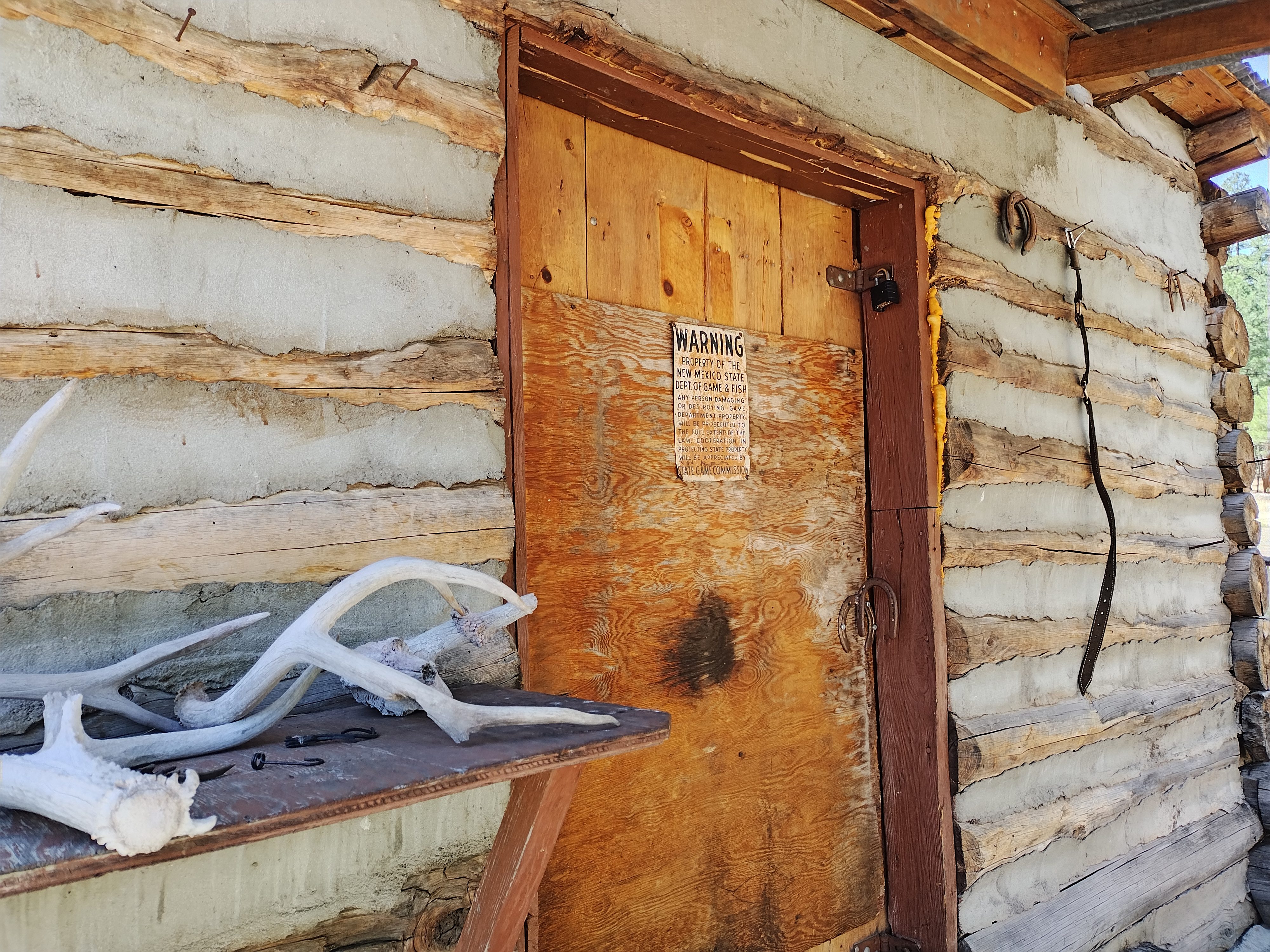
Just a short walk to Doc Campbell's, then we got a lift from a nice fella with a van to the Cliff Dwellings National Monument.
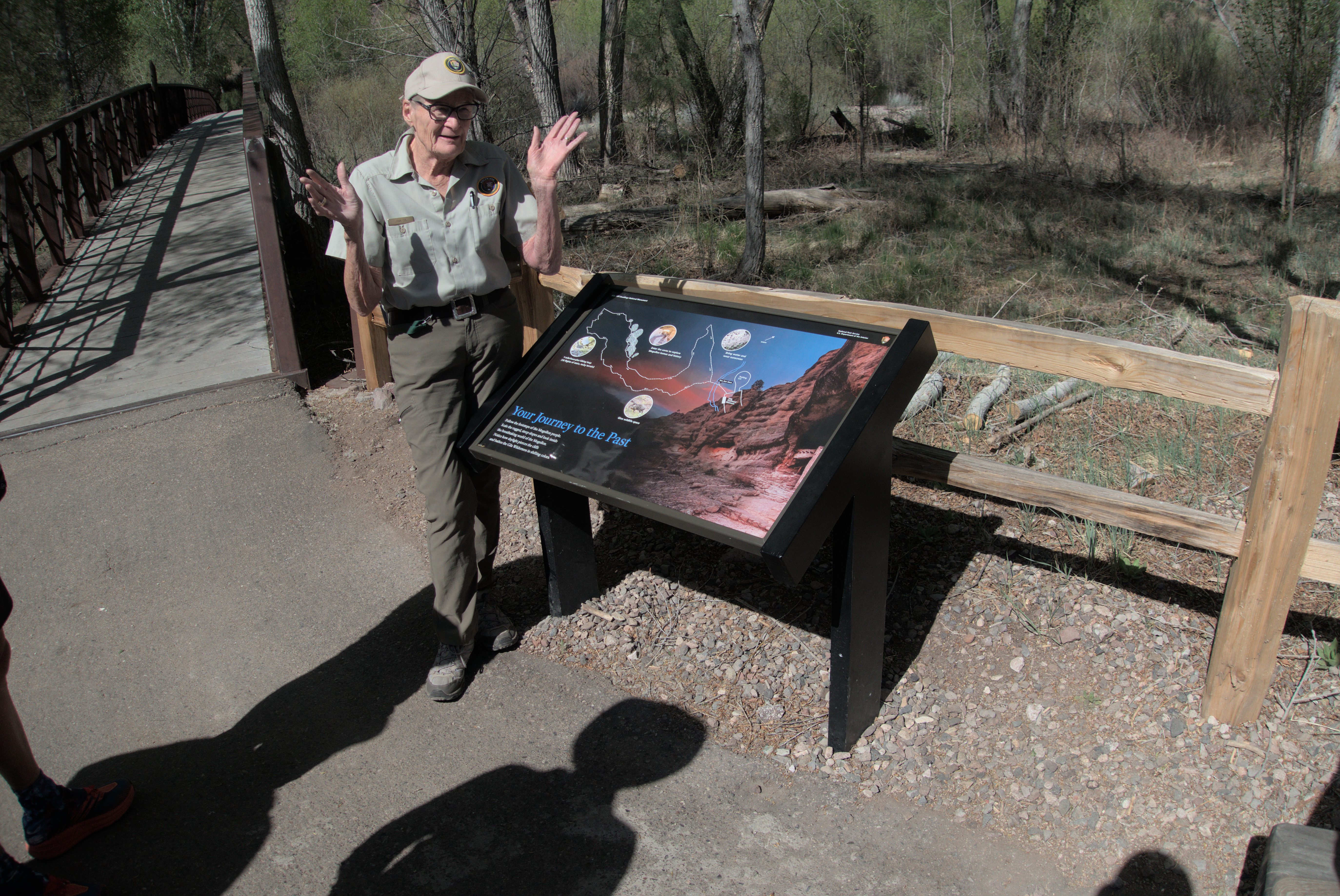
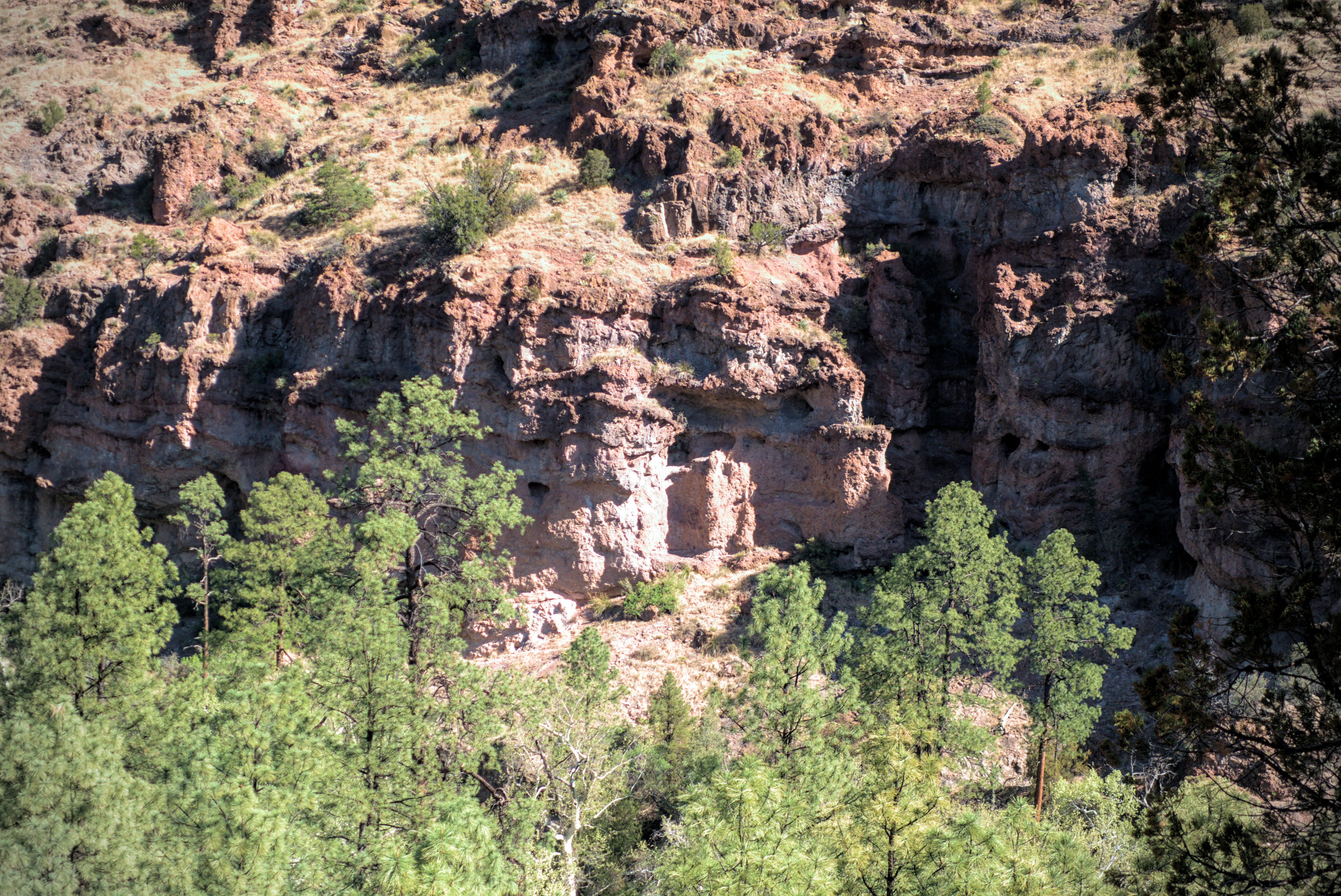
We're getting a lesson on the people of this region.
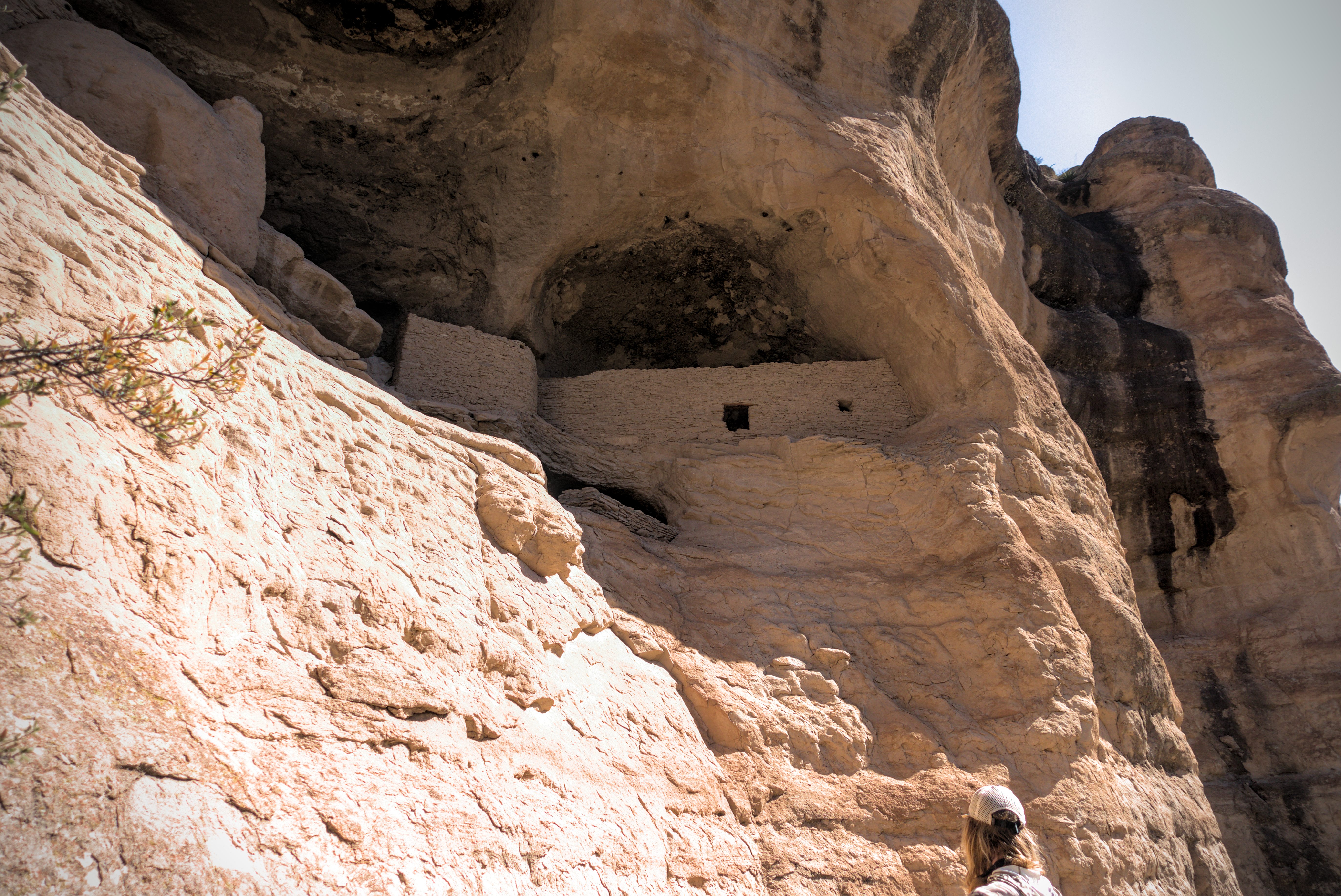
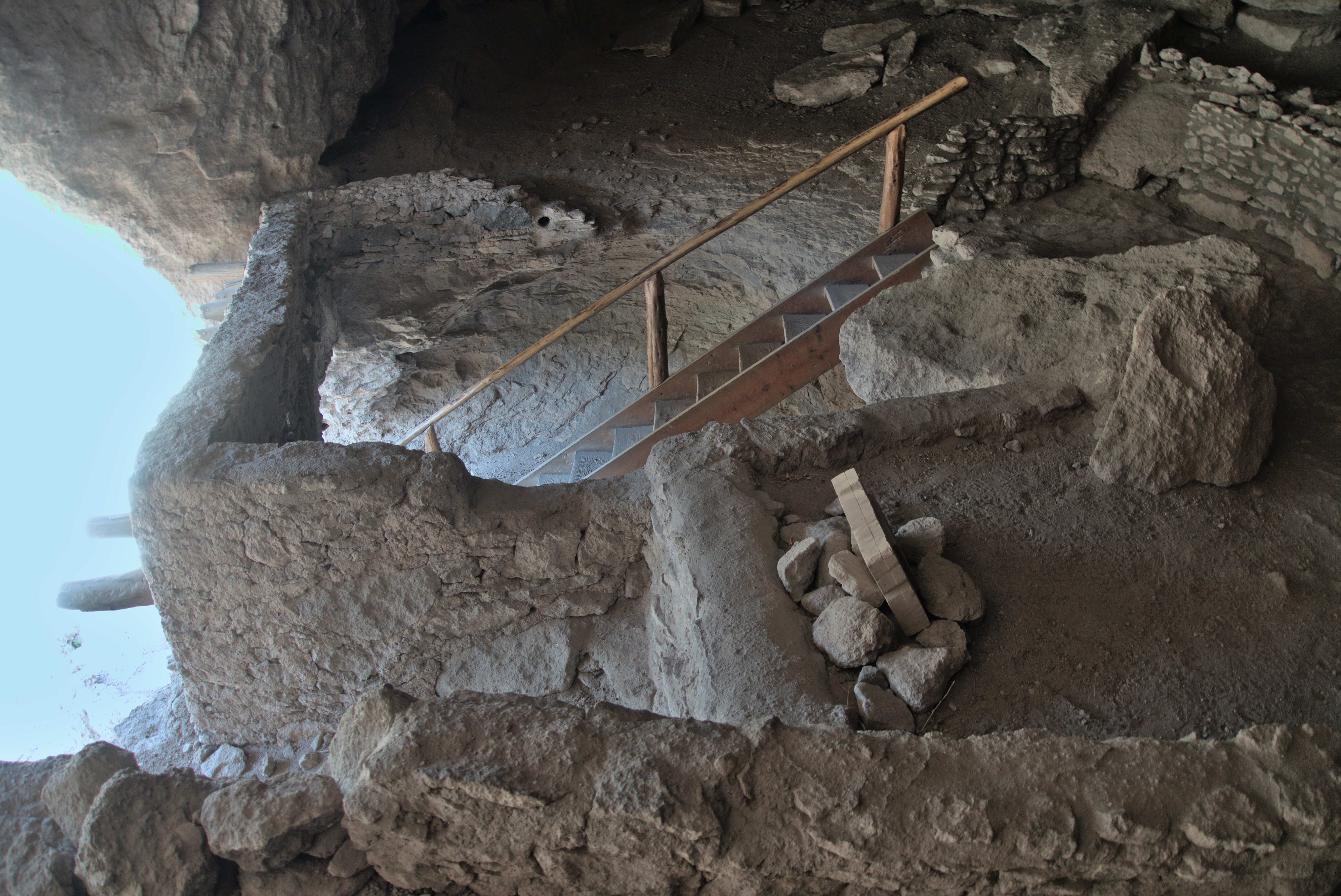
The cliff dwellings (and Lemonhope, partial).
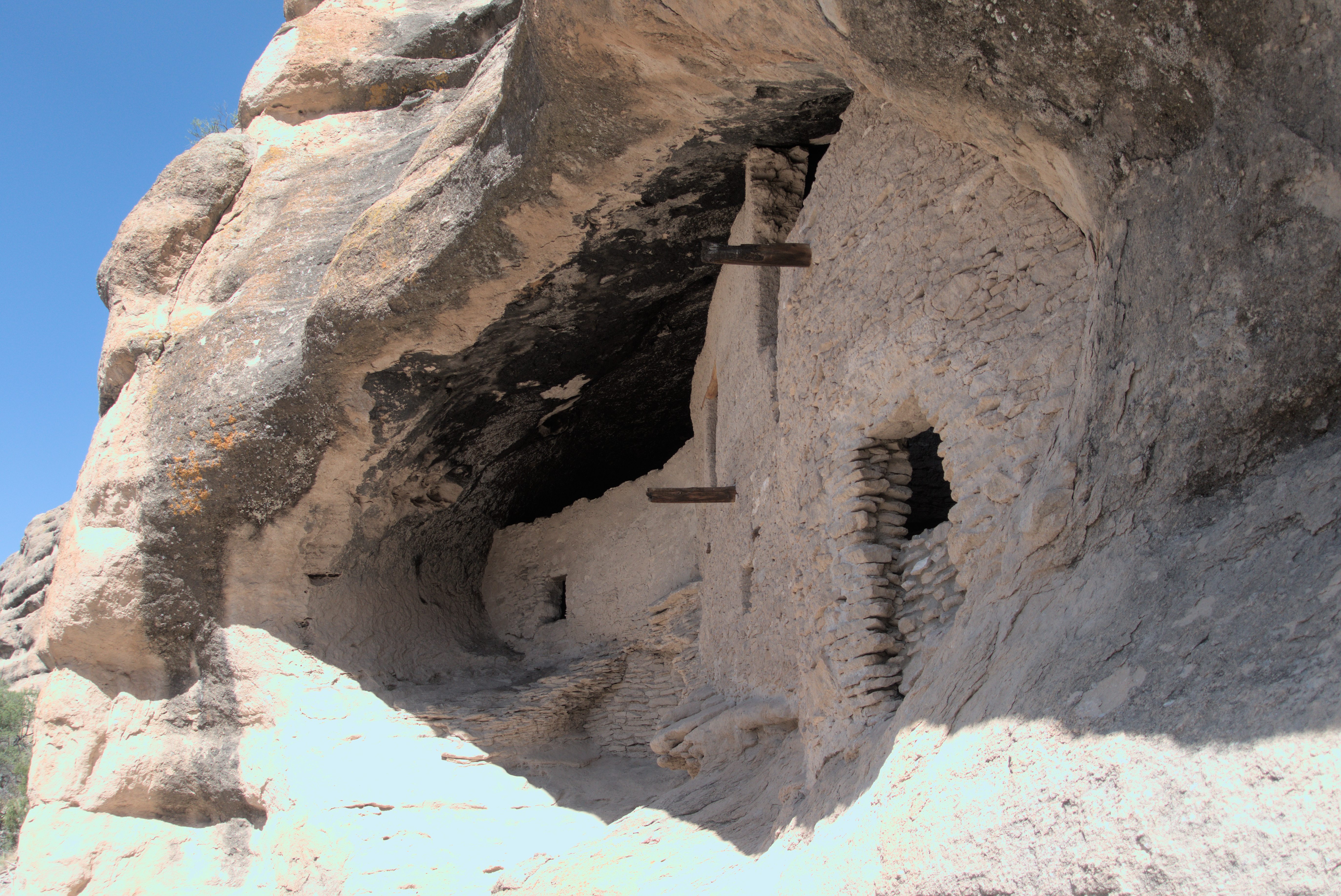
People apparently lived here only about 80 years.
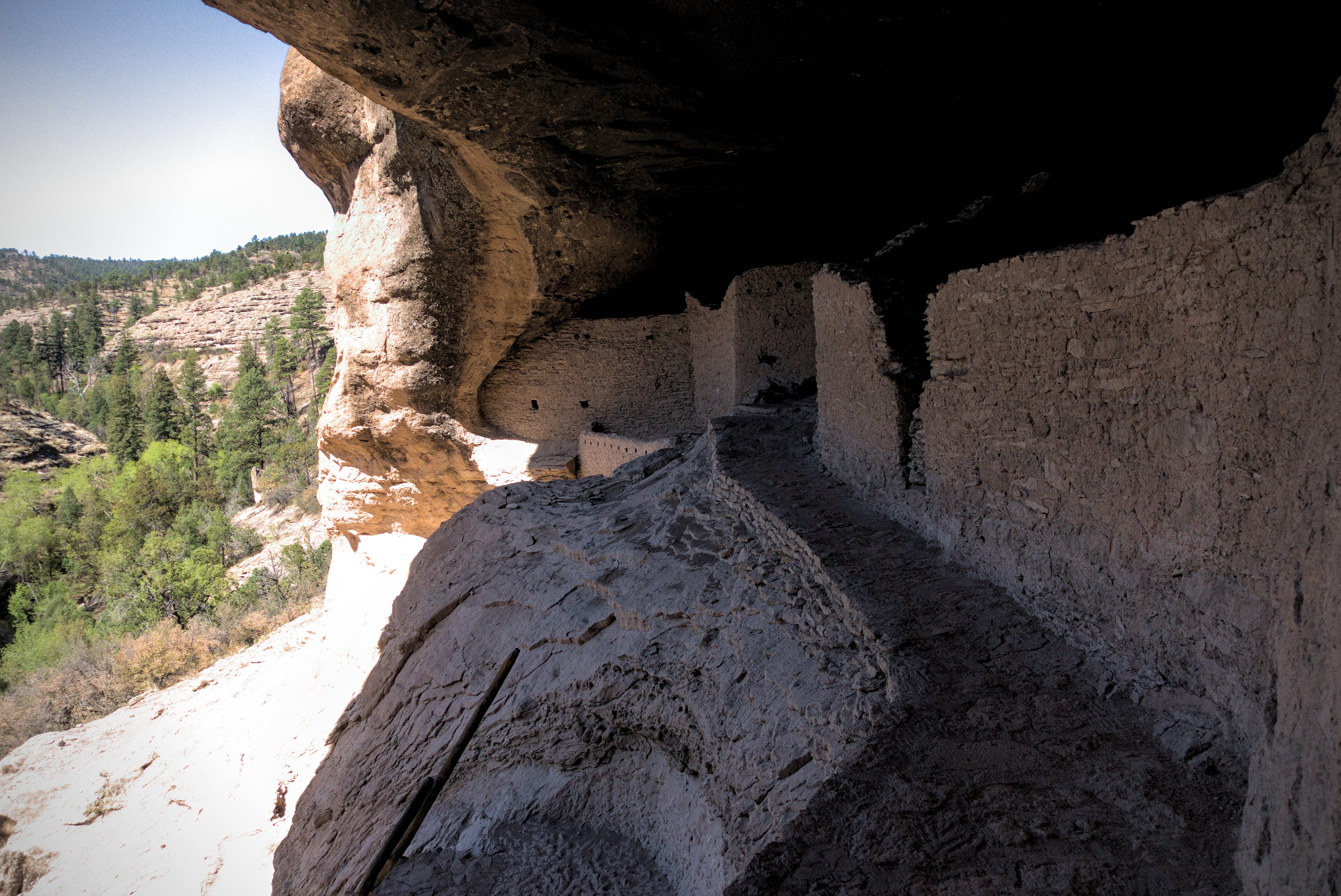
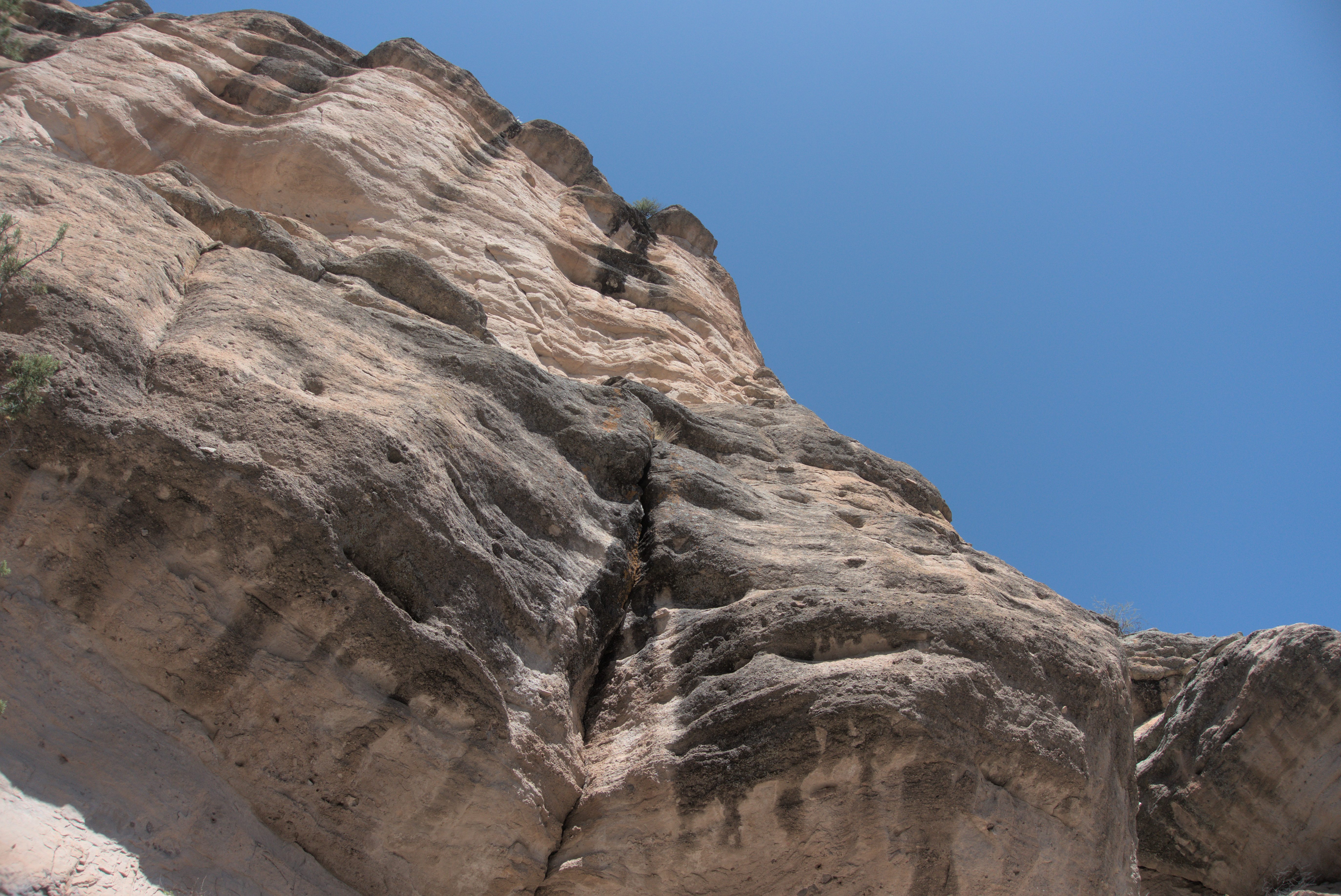
Cliffs above the cave.
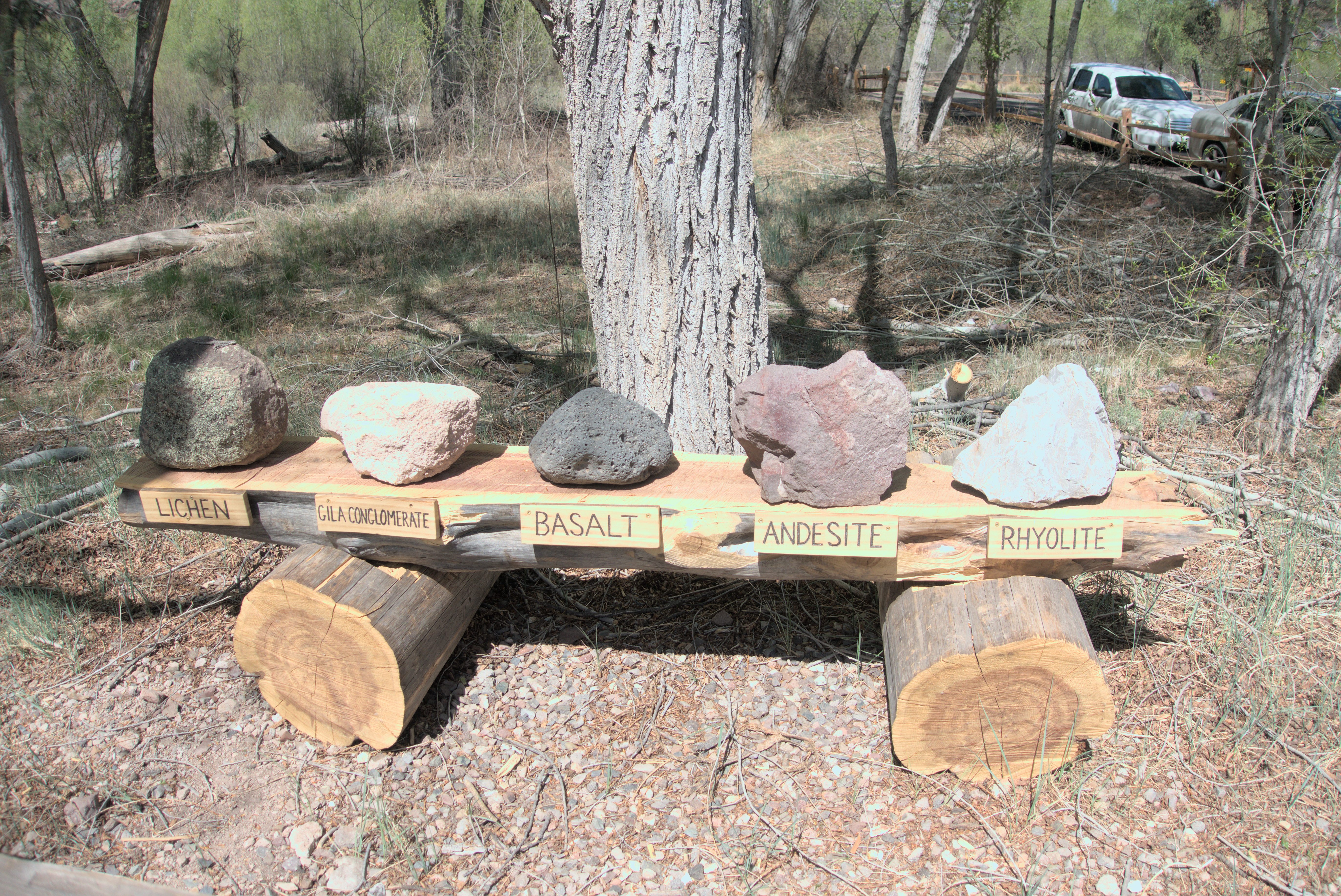
I thought this might be handy as a reference photo later.
Back at the post, I bought supplies for the 120 mile walk to Pie Town and ate frozen burritos and ice cream as the afternoon turned to evening.
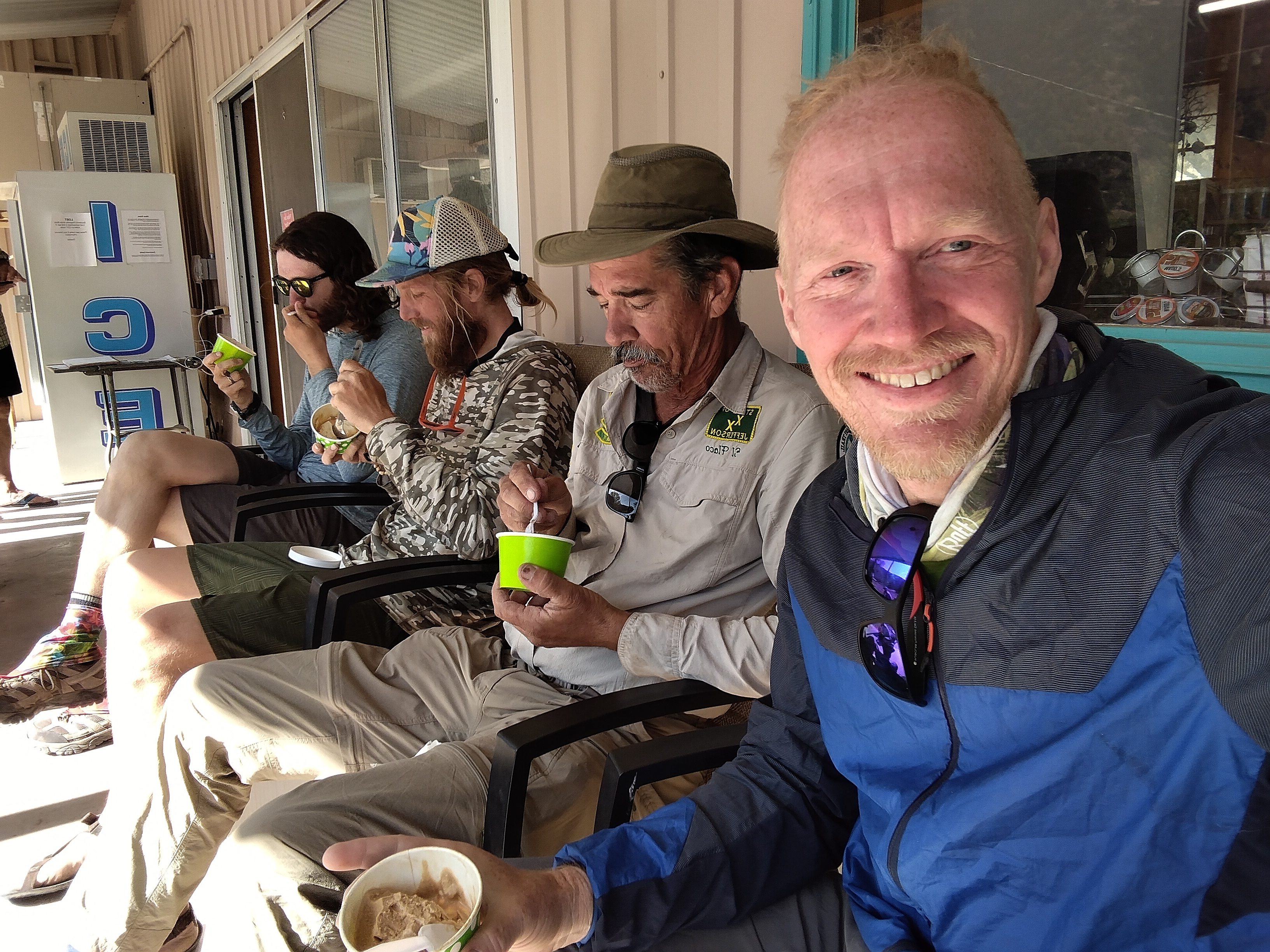
Gargoyle, Lemonhope, Flaka and myself eating the famous ice cream supplied by
Doc Campbell's Post.
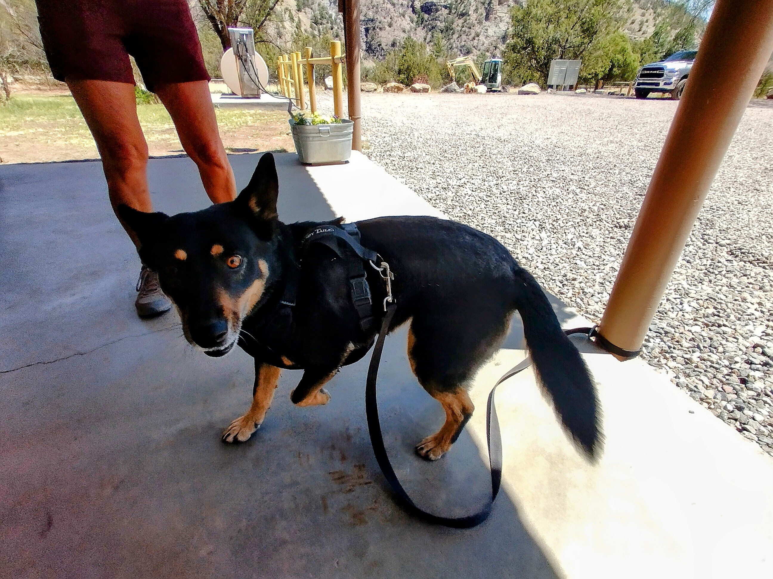
A friendly dog.
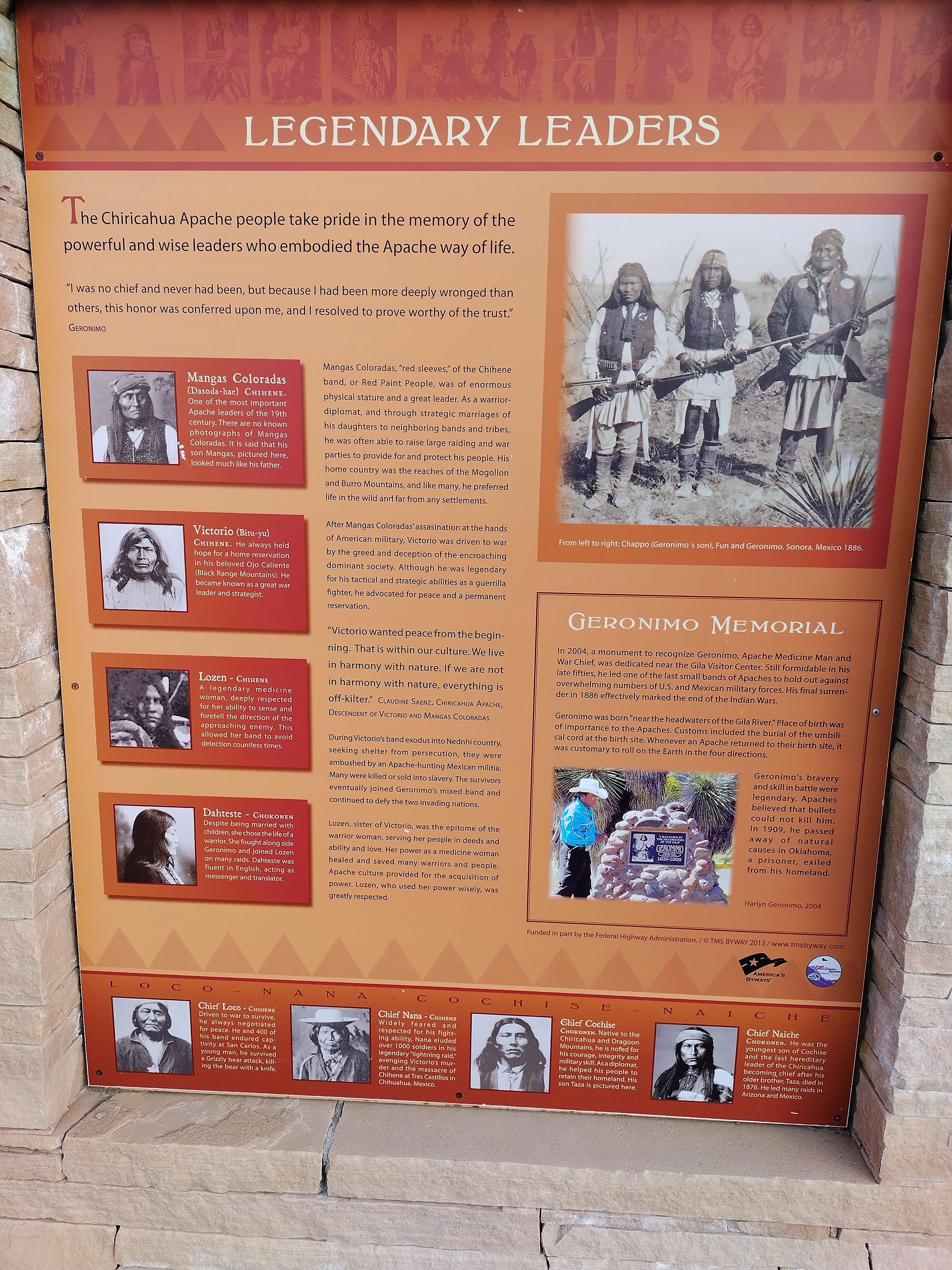
Interesting history. These were fierce, wild people, at least to outsiders.
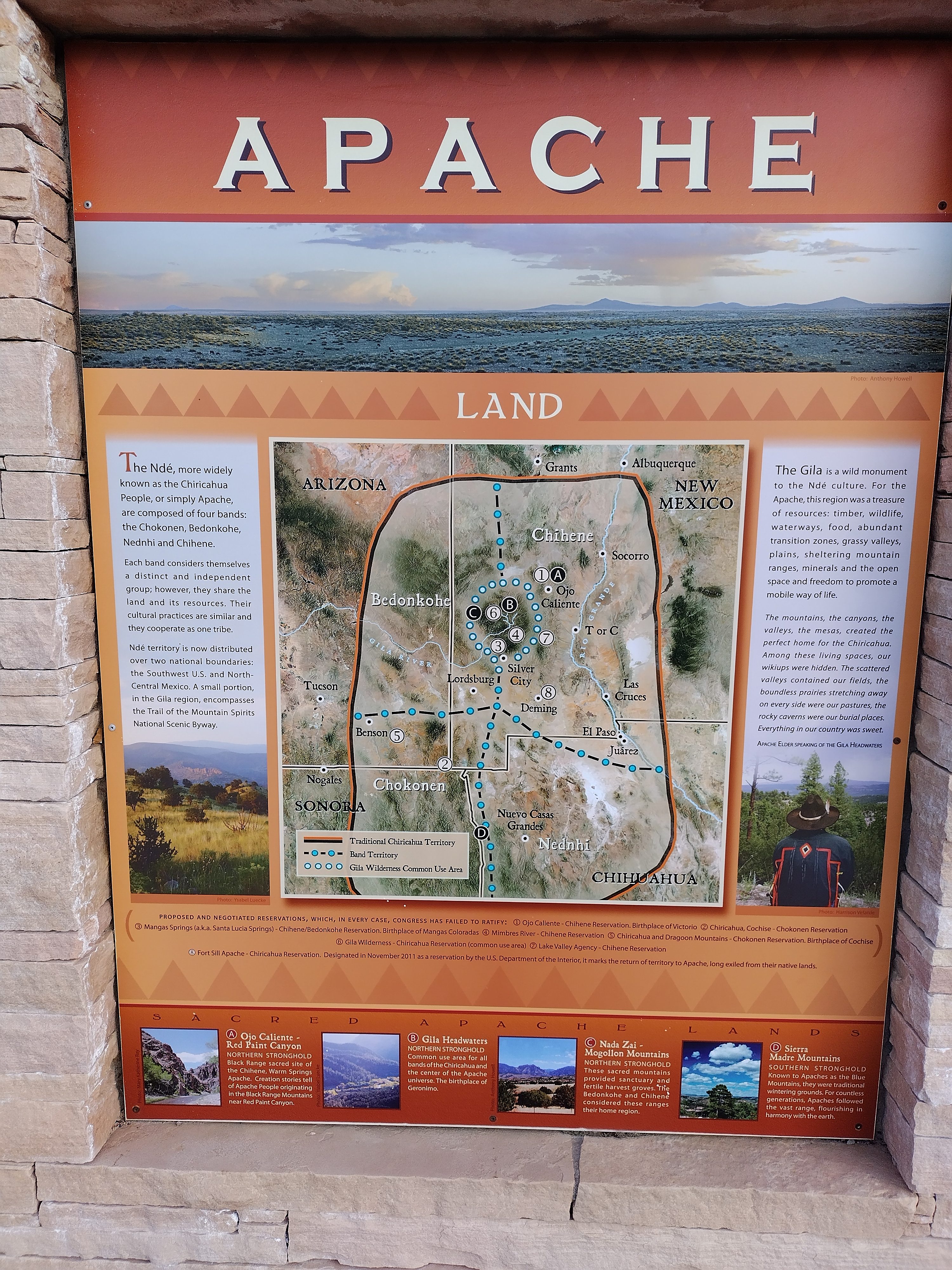
Home of the Apache.
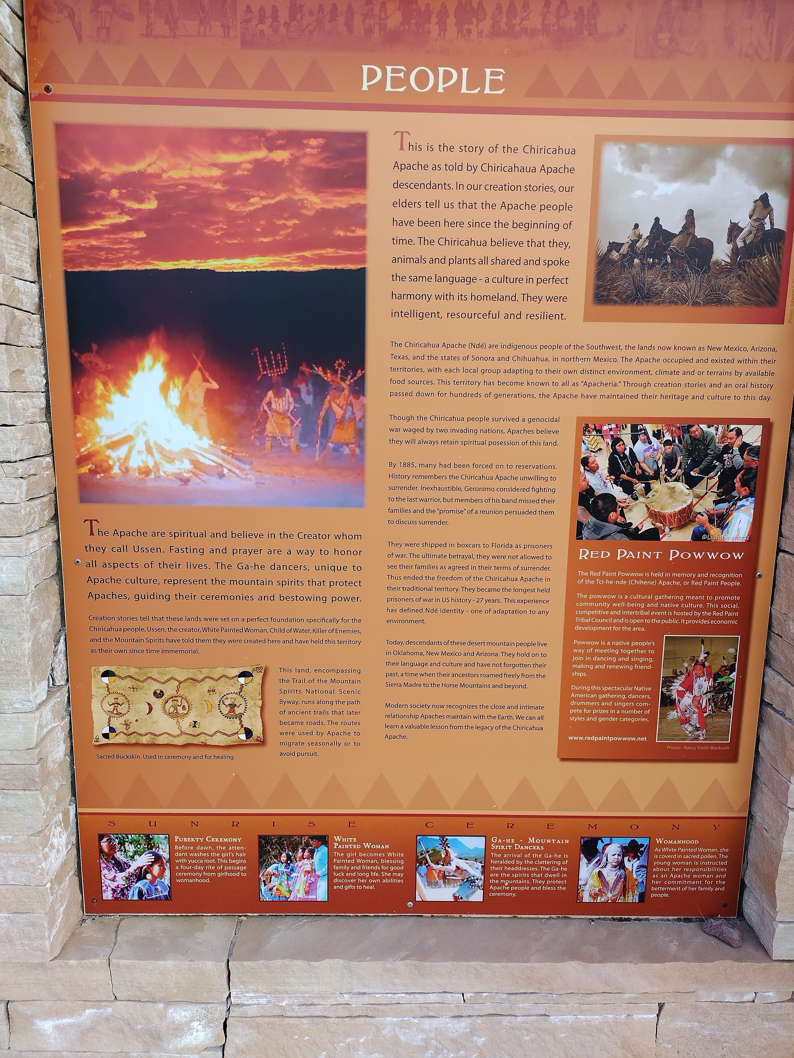
What a rich culture for such a difficult land.
In the evening I was able to take a shower at the trading post and do laundry. I couldn't believe I was going to walk 120 miles without a resupply to Pie Town. Back home in Germany, this long stretch quite intimidated me. But now it was here.
Lemonhope and I sat at a table with other folks, joking around and drinking beer and wine. I was determined to get up at 4 anyway and walk north.
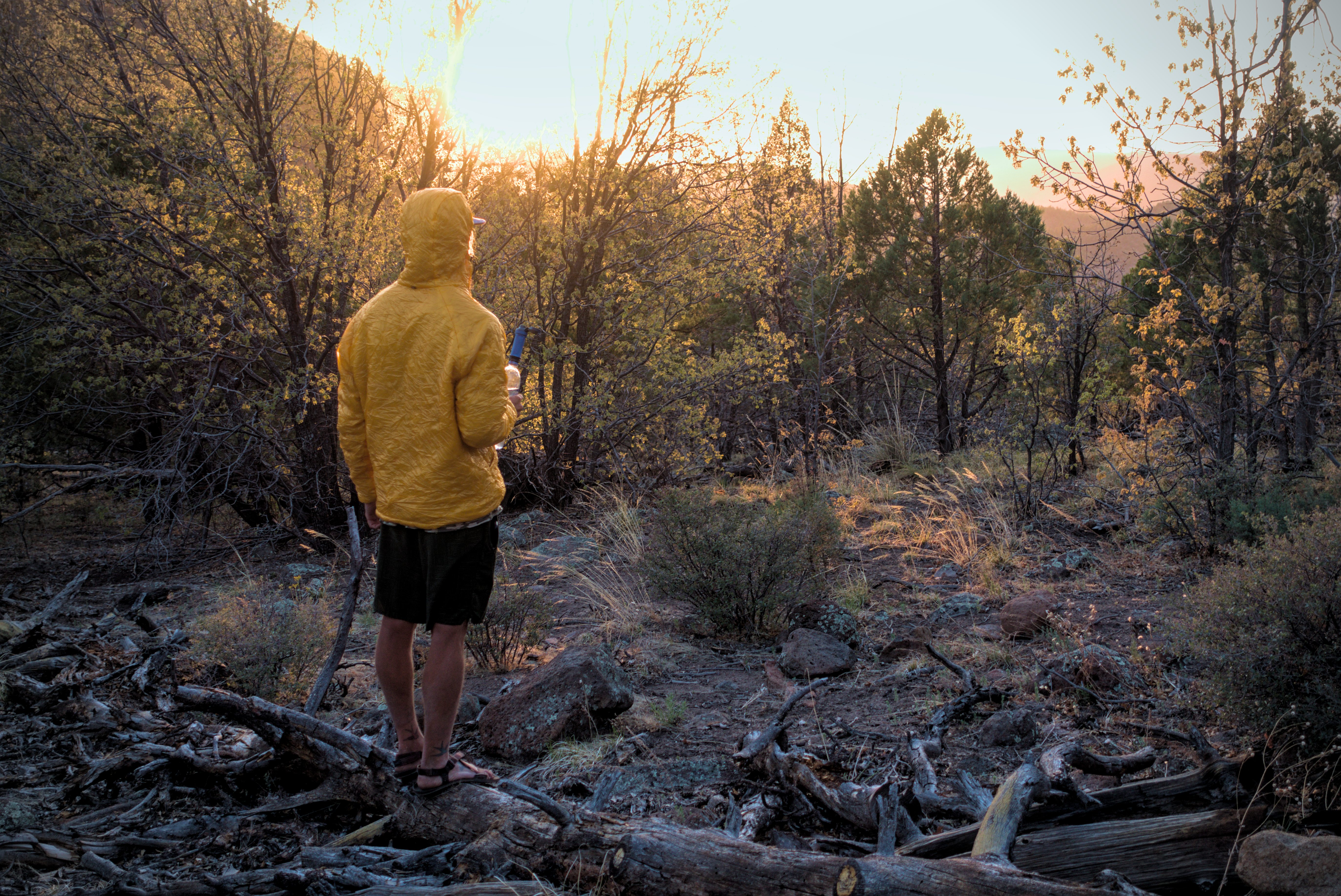
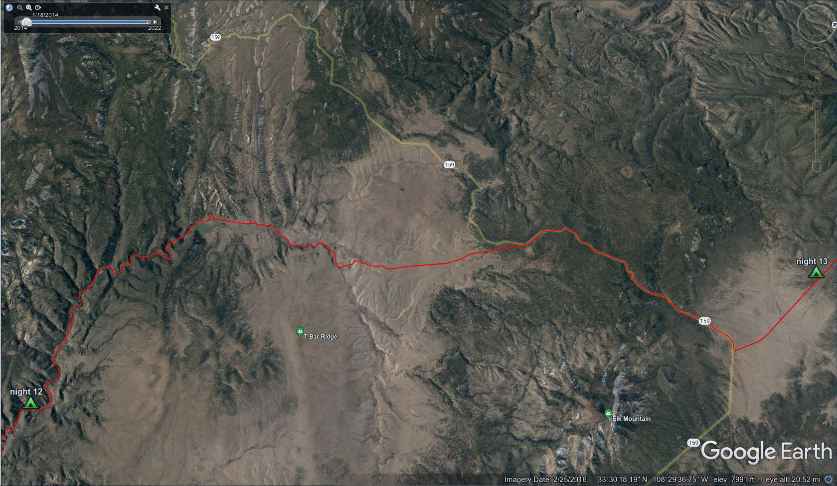
May 2, day 12 - 24.7 miles
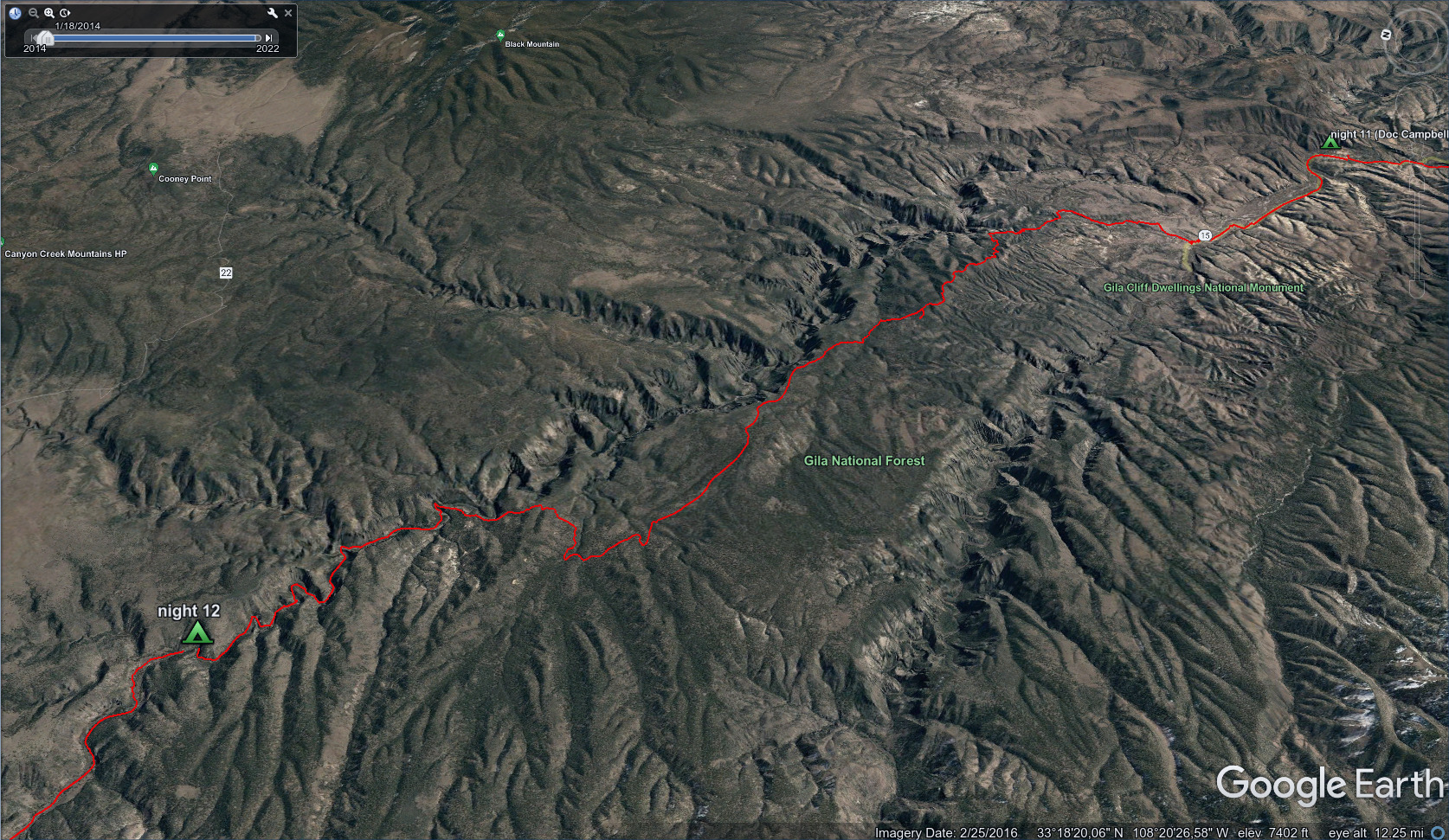
One of my favorite days on the trail, a lonely journey mostly above the Gila
River on a little-used alternate route.
I was so excited to walk. The nearly-full rest day had given me energy. Lemonhope stayed in his sleeping bag, so I was off alone under the moon walking up the road a few miles. This was a beautiful moment. Everything felt both wild and right. That I'm in the right place for this never-before seen moment. I mentally said thanks for the experience. God is watching, and when I feel both grateful and powerful, then He is pleased, for I am partaking in His nature. That is how He is.
Early morning, looking back to Doc Campbells.
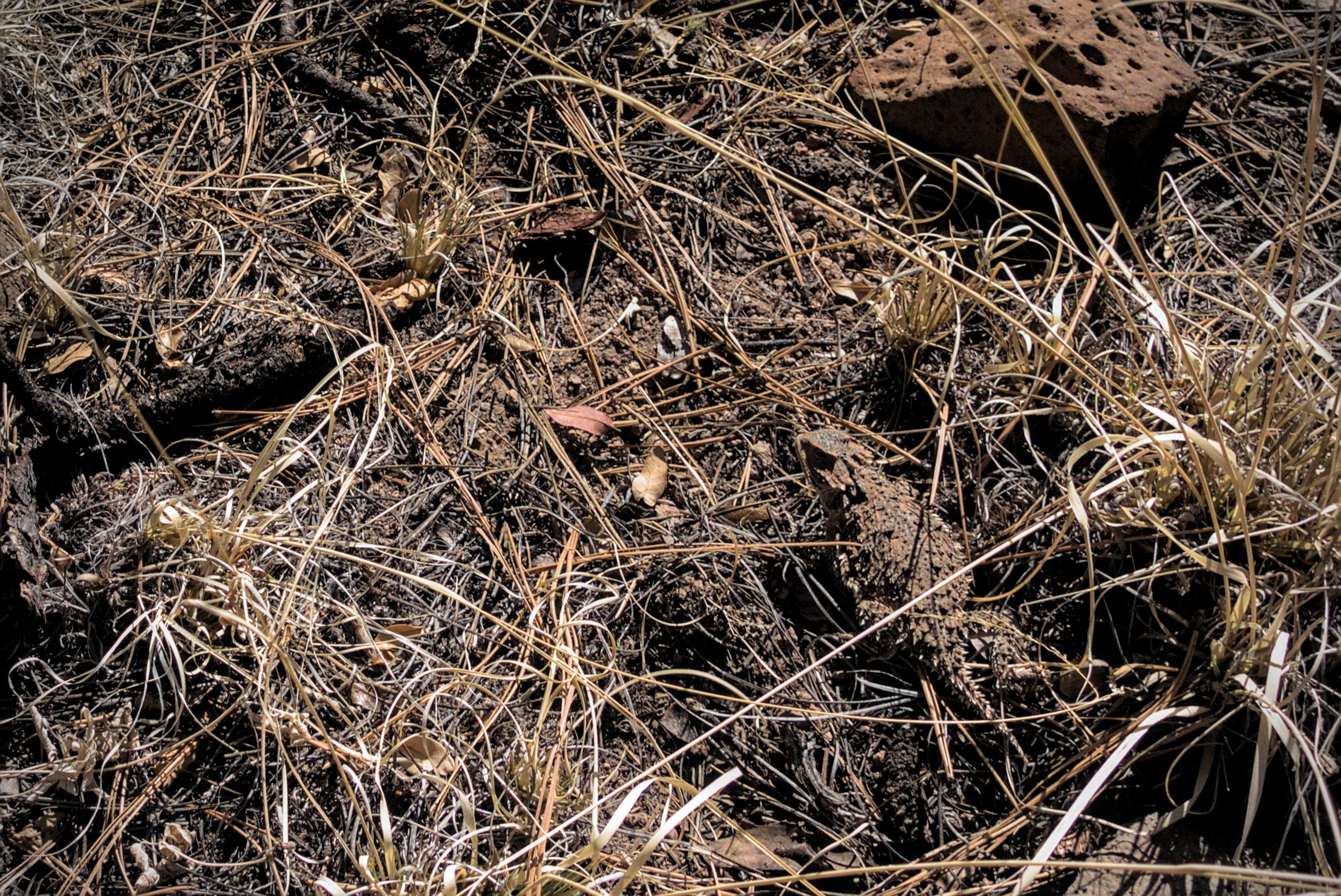
An interesting spiny lizard.
Looking down on Little Bear Canyon.
I turned onto a trail and climbed up through scrub trees. I surprised a javelina (a small wild pig) sitting on a rock. He sprang away deftly; tough, hogback-ridge back, pointy snout and scurrying legs.
Between that exciting event, and the holy feeling before dawn, I didn't really want to interact with people that much today. Therefore I decided to stay on this trail above the river for as long as possible. I dropped down in the late afternoon, because there is just no water up here. This meant that I missed the famous hot springs in the canyon. But I didn't mind. I had this whole forest to myself and felt like a king.
This might be Point 6852 above Little Bear Tank, but there were several cliffs
like this.
The Gila River snakes along before me.
Magical country, adjusted to fire. All the trees have endured it.
All the trees in this country are scarred by fire. It's kind of a good thing when a light fire comes through and burns away undergrowth. It prevents bigger fires. Still, it would be scary to be in here during a serious fire.
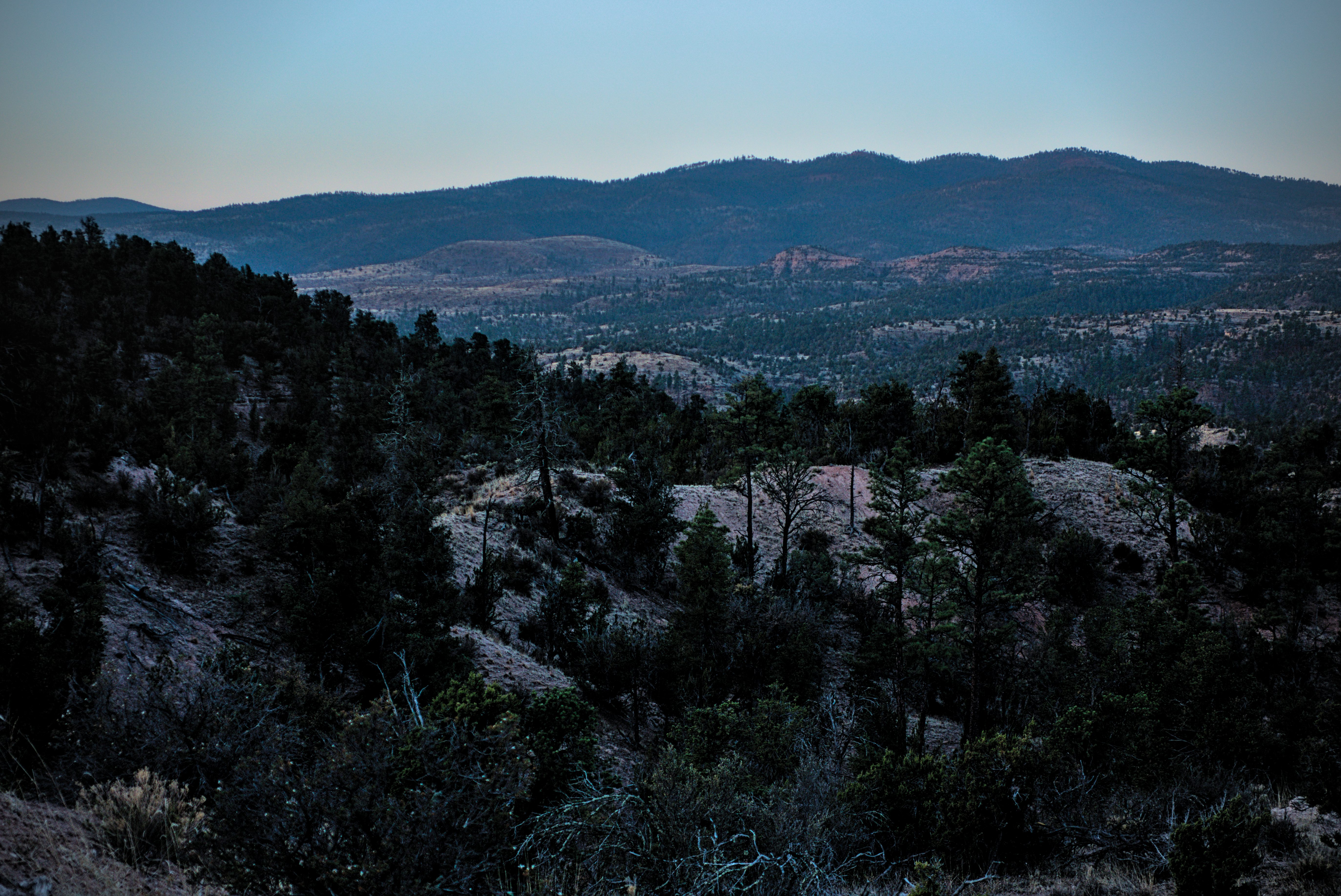
The Meadows area of the canyon below me.
Looking down to the Meadows from the canyon rim.
I rested here a while. You can see high northern grasslands far in the
distance.
A fire-adjusted forest. I'd hate to be here in July. For now the temperature
is pleasant.
A place called Prior Cabin. I hoped to find water here, but there was none.
I couldn't get enough of this forest. It felt like a magical place. Absolutely
no one seen up here all day.
I had it all to myself.
Heading down into the canyon.
Down in the Gila...
I'm getting a little tired of sloshing along with wet shoes and socks!
The rock reminds me of Smith Rocks in Oregon...volcanic.
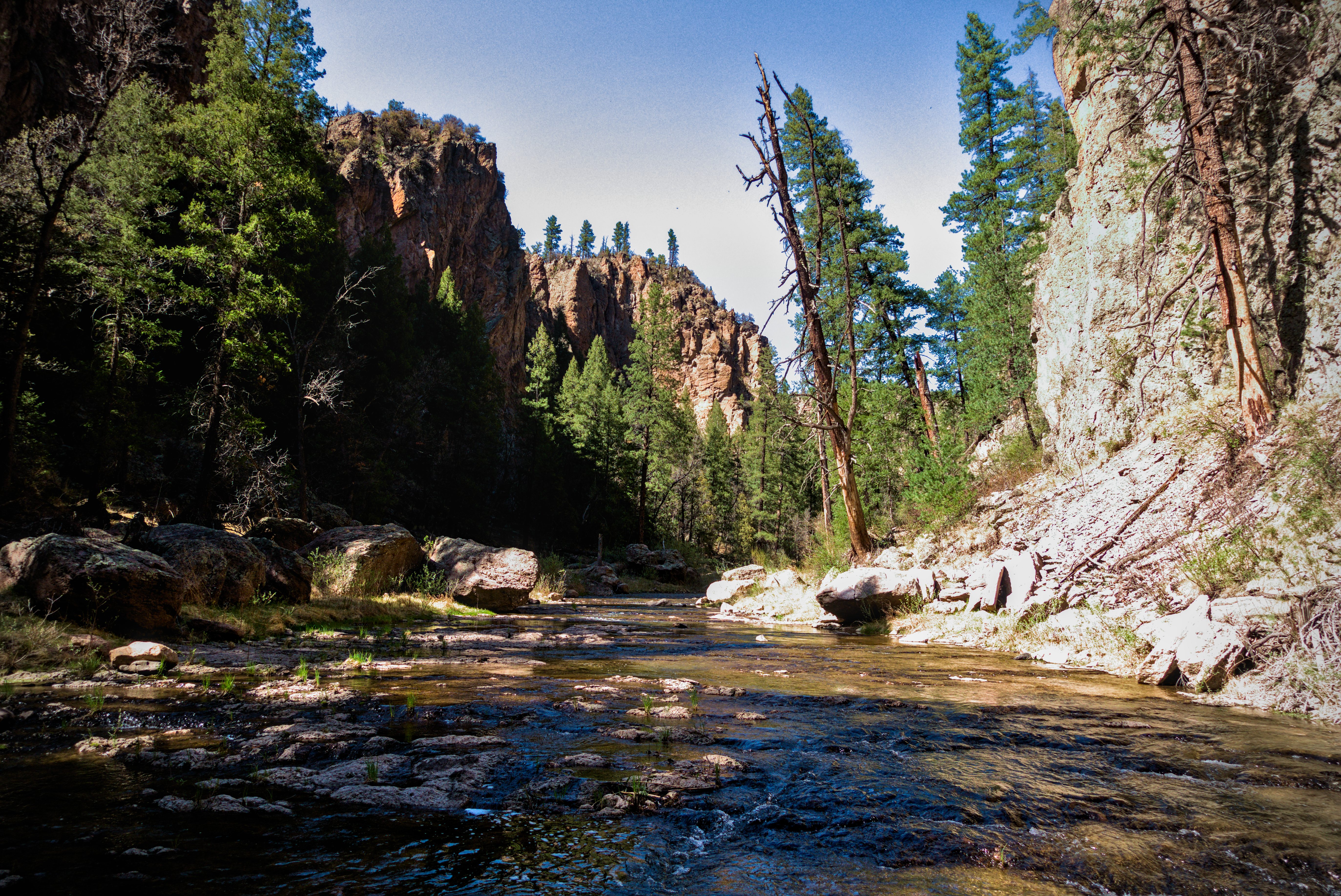
On the canyon floor.
Impressive walls and cold flowing water.
At least it's cool down here.
I stopped in the middle of the river to take this picture.
On the opposite side of the river, somewhere in this stretch, there was a great cave which looked like a good campsite. I imagined a fire there. People had seen bears in the Gila, and that cave seemed a "bearish" place.
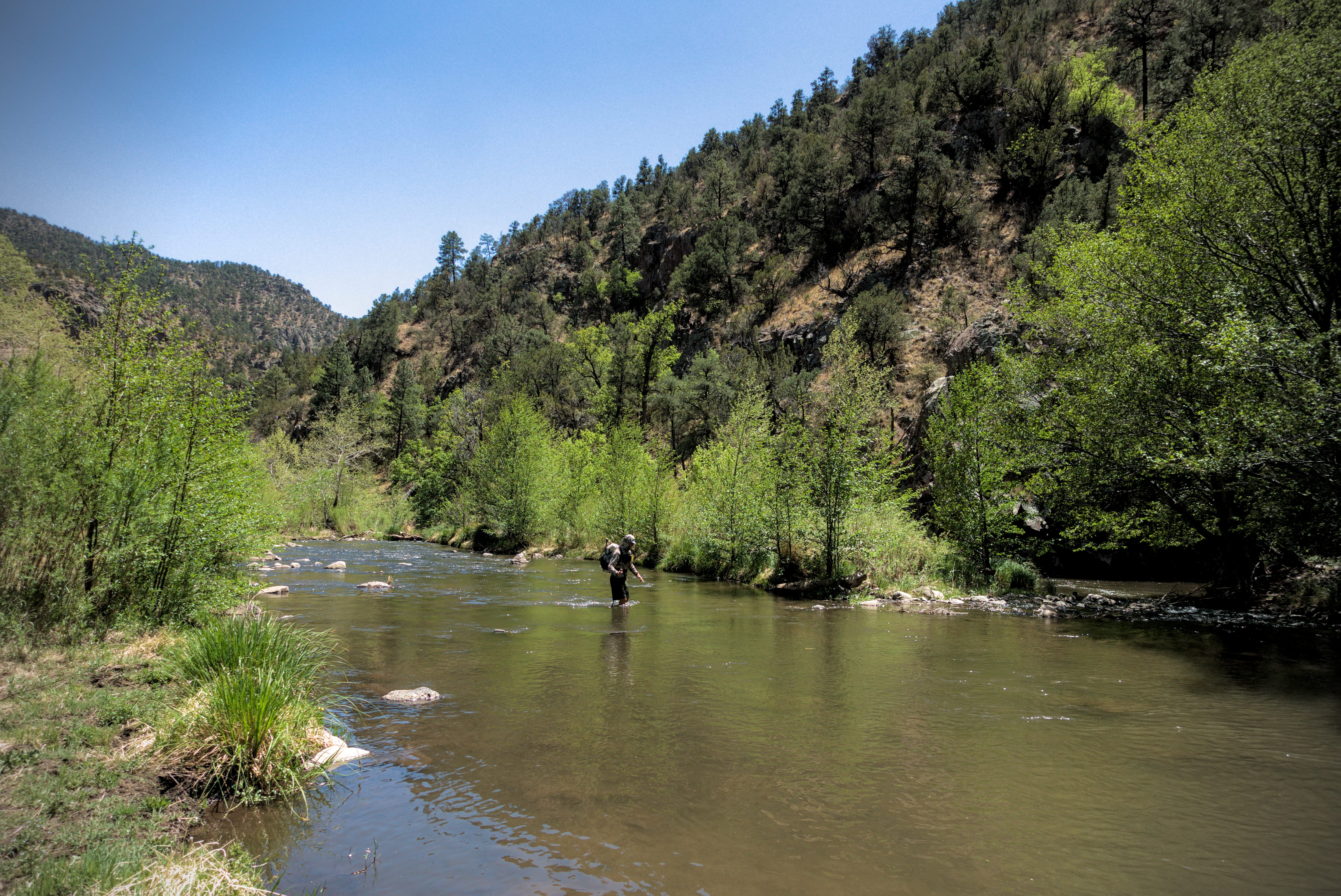
I don't remember if I caught up to him, or he caught up to me, but I met someone new here. A man from Louisiana called Gator, who came with a dog. We walked for about an hour in and out of the stream, then found a good camp alongside the trail: flat ground lightly strewn with pine needles in widely spaced trees, with water a few paces away in the river. He was cowboy camping, and I set up my tarp. We talked about what got us into this life and why we like it. I believe he's a welder.
A bit later, Brainstorm and Tall Son walked by. As usual with Tall Son, we continued some running joke. It's really fun to see people again. They said a woman was camping in that cave I saw earlier.
May 3, day 13 - 27 miles
Gator, the dog and I started early, walking a couple hours before breakfast. He carried the dog to protect her paws. Really sweet.
From the river out to broad grassland and more adventures.
The 2nd longest day of the trail at 27 miles.

Good morning, friendly camp fella!
My riverine camp.
Gator from Louisiana.
The dog is ferried across most crossings.
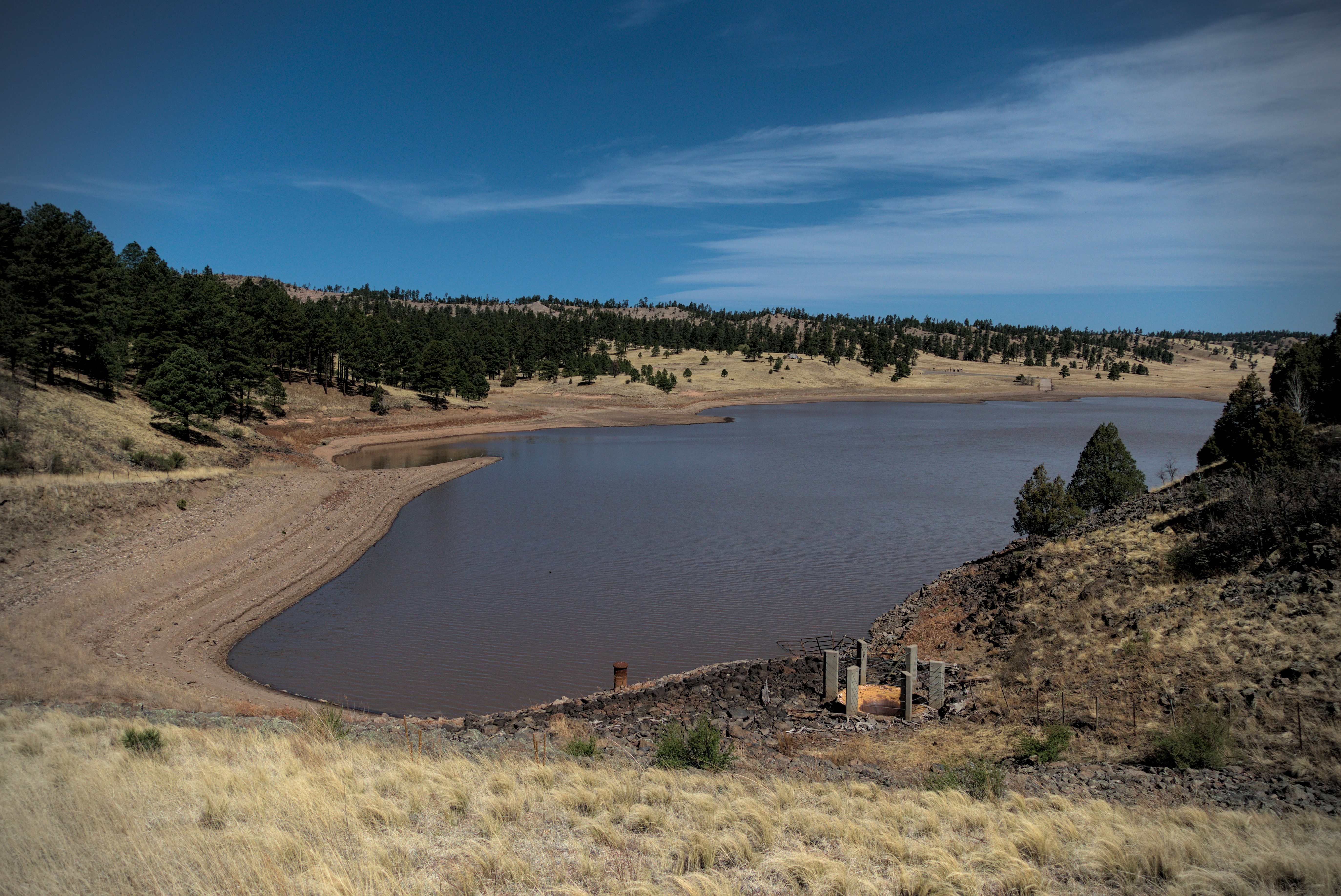
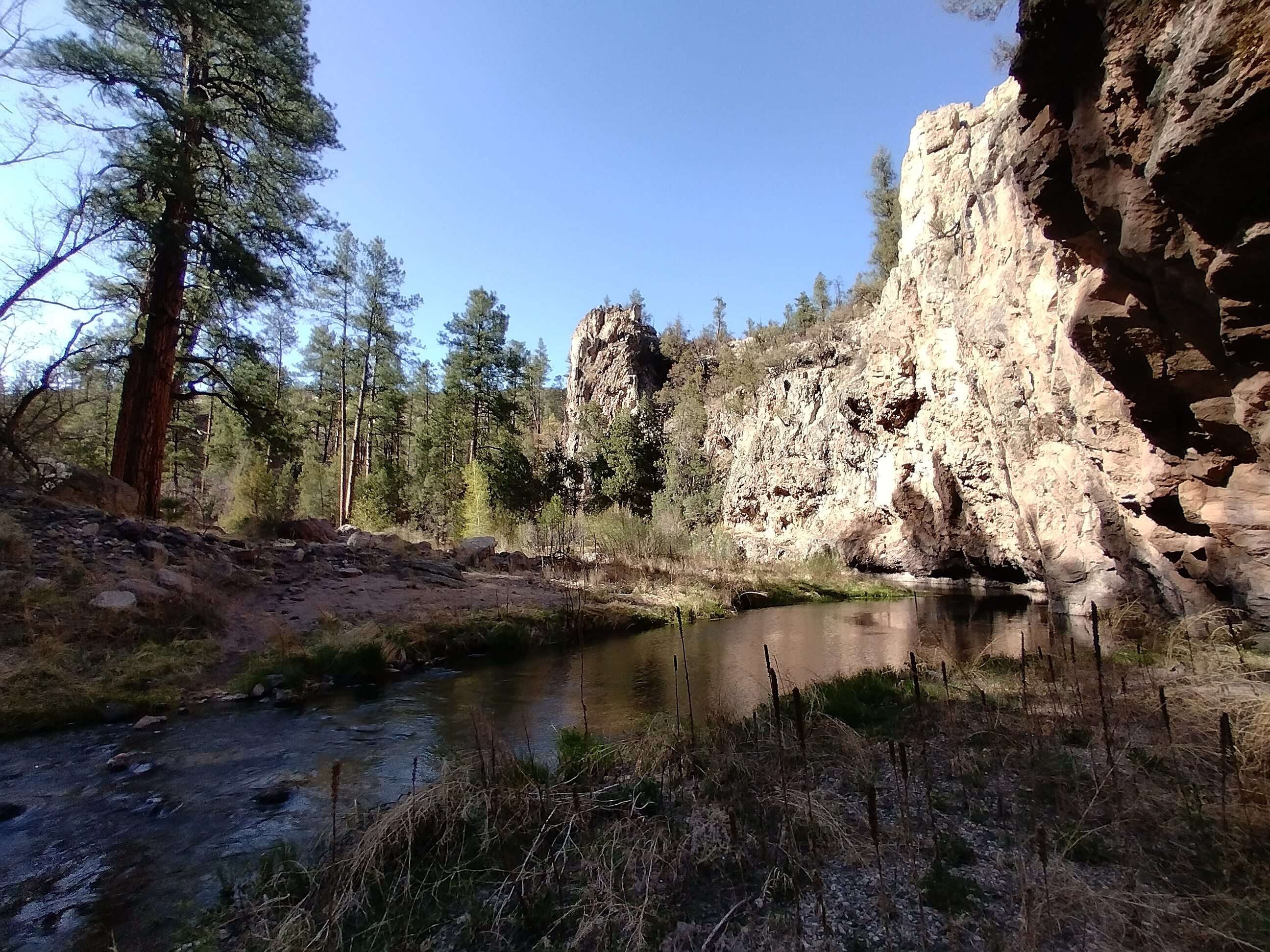
Snow Lake! Finally! Hmm. Not very snowy.
The lake is underwhelming! But there was a camping area with a water spigot and a bathroom. What a luxury! Two men stood outside a Winnebago grilling meat. They were somewhat guarded in response to my friendly hello. One of them asked how far I'd walked today, and I said about 10 miles. Maybe I looked too wild or stank of the river and the pines.
I enjoyed sitting on concrete after washing my feet and socks...getting all the river sand out. Fresh water that I didn't have to filter? Ahh...amazing.
Climbing up to the grasslands.
My feet were sore but it was an interesting new kind of country here, open,
grassy and hilly.
Gator came up to enjoy the water spigot and we said goodbye. I never saw him again but I hope he had a marvellous trip. I was excited to walk straight north again, and, following a road for a few miles, soon found myself on trail in a narrow, grassy canyon. It was hot, with a hot wind, and legs were sore. But soon I came to a great pond with a few cows milling around. I probably got water here (strange that I don't remember!), then climbed steeply up to a crest.
Marvellous broad country.
Lunchtime up on the plateau.
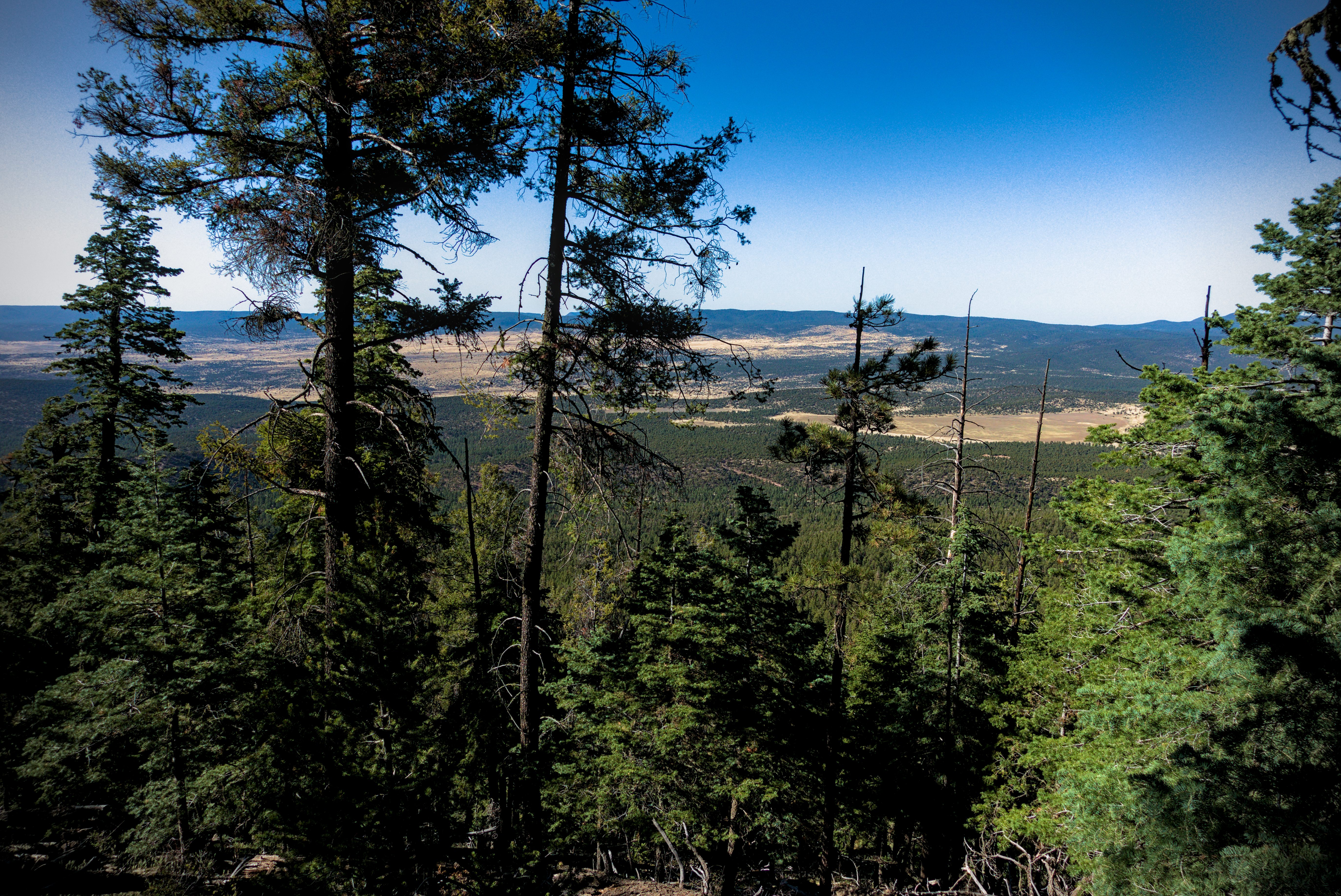
I'd been dreaming about this grassland. It is really something. It marks a fundamental change. North of the grassland, you are in mountains for a long while. South of it is desert and the Gila river canyon. I like walking when I can see so far, and when the land is so pleasingly shaped and curved.
After a couple hours though, I was climbing up into forest on a road. A Forest Service truck came by, and a man said there was fire ahead. He said his partner would "ferry" me past the fire. I was disheartened at this, thinking (rather selfishly) about my "continuous footpath" to Canada. I wondered about trying to get around the area by traveling cross-country. But frankly, I didn't have the will-power for that. I had just enough will-power to put one foot in front of the other without having to think too much -- at least this late in the afternoon!
An hour later I reached the crest of the road in this forest and saw a hive of activity. A friendly man invited me to hop into a truck. "How long before I can walk again?" I asked. "About 2 miles down the road," he said. He'd been ferrying hikers for two days. "The fire is almost burned out, we'll probably leave tomorrow."
Strong men, and I say that because seriously, these dudes looked like pirates with shaven heads and thick necks, worked with shovels and picks amid smoking remnants of tree stumps, the ground burned black all around. There must have been twenty people all over the slope on the right side of the road. I reasoned that I could have walked on the left side in the forest if I was really keen.
"One guy came back in tears last night. It hurt him so much to lose his continuous footpath that he returned and asked if there was any way he could walk the road. So I ferried him back up, then let him walk it while I drove behind him."
"Wow," I said, impressed by the mans generosity at crawling along the road at 2 miles per hour, and a little embarrassed at the nature of my tribe. I decided I was glad that I could accept the ferry ride without being too tortured.
The driver said that he used to work in an office with computers in a big city, but moved back here and joined the Forest Service. He was at peace with everything. What a fantastic character.
He let me out and wished me luck. I was at the edge of the forest, now walking due north again, full of good feelings from that interaction. Repeatedly on this trip, I found that in a land with fewer people, individuals "live larger" and there is more room for their story. The story of a man or woman out here occupies a larger penumbra around them, more visibly affecting everything they touch. They leave greater impressions on you. And the spacious character of the land seems to belong to them, as well. Their interior spaces are more expansive, somehow. You pick that up in their slow, courteous replies. There is nothing to get excited about. The land is too big for that.
I navigated some crossroads, then became keenly interested in my next water source, which was called Collins Park Tank, and about a 1/2 mile off the road. I followed a game trail off into the prairie to get to it in order to avoid a sharp bend and extra steps on the road. I recognized several footprints.
This water was tricky to get, climbing into the tank.
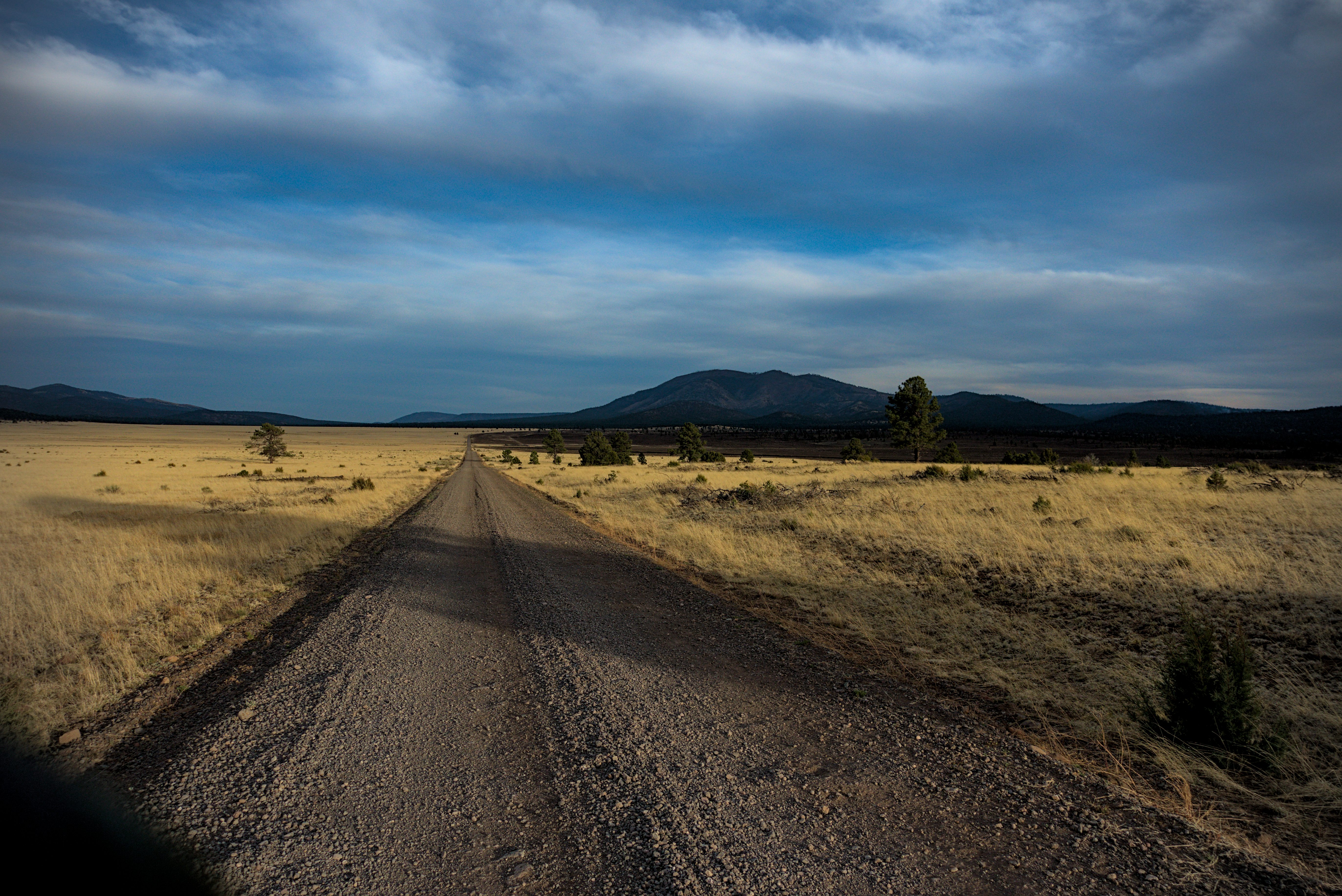
I'm beat! The day ends in a road walk back into mountains.
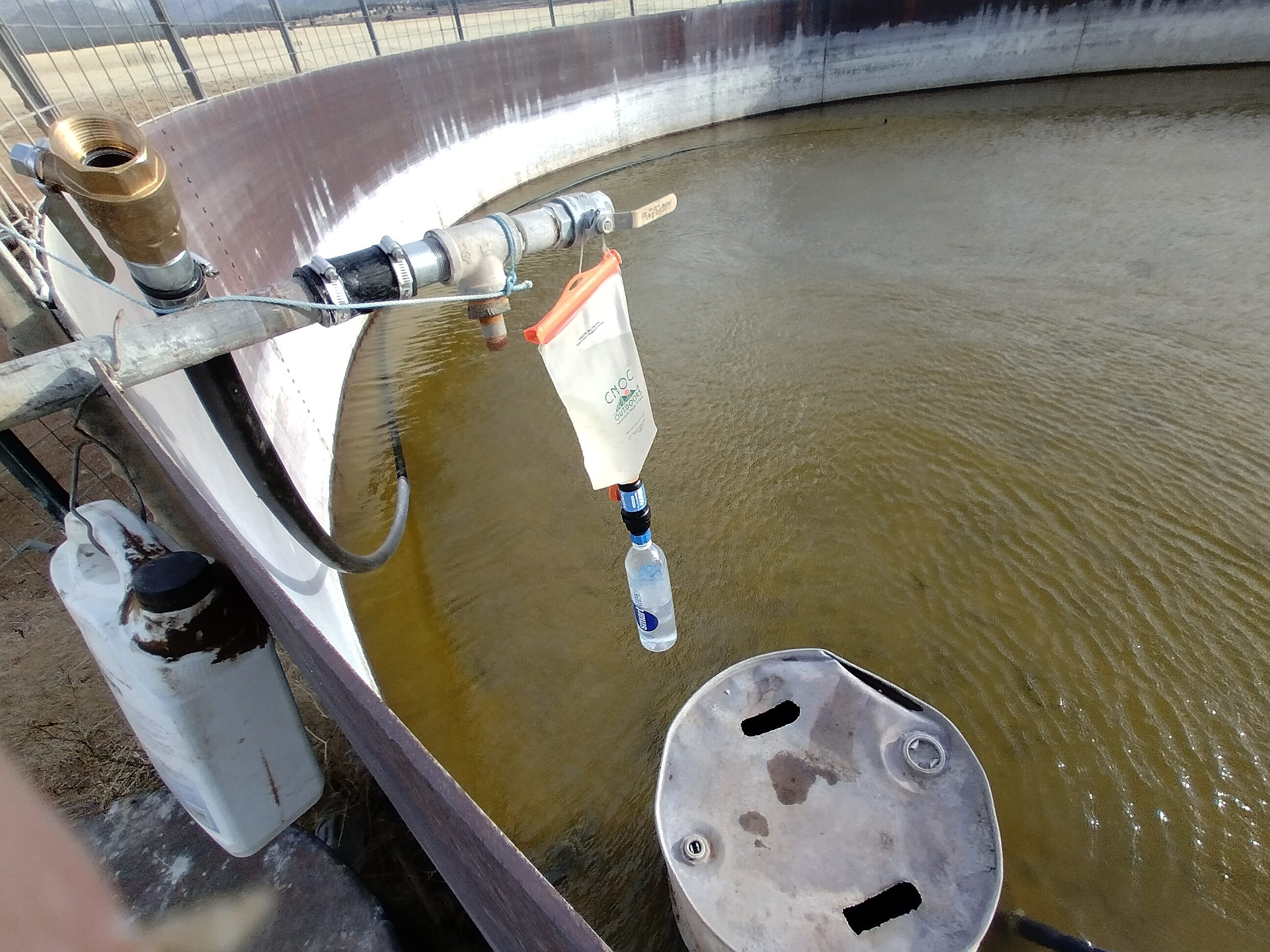
On the Guthook app, there were complex instructions for getting running water from the tank. There was a solar panel and various electrical cables and switches all around it. But nothing I tried worked, so finally I had to climb into the depleted tank and sit on an oil drum, dipping my water bag into the greenish water below. I filtered one bag into two bottles, then refilled. By this time it was early evening. The wind was strong and shadows grew long. I left the strange tank, knowing this water would have to last me until a tank on the side of Wagontongue Mountain, nearly twenty miles hence.
I walked another two miles from the tank as the land started to climb and trees began encroching on the prairie. I'd put in about 25 miles and my head was reeling with the different kinds of country I'd come through. From a morning sloshing through the Gila, to the lake then a grand prairie...to a forest and a forest fire, back to prairie and now forest again. Whew!
I set up my tarp just off the road in the trees and watched the sun go down. What a day.
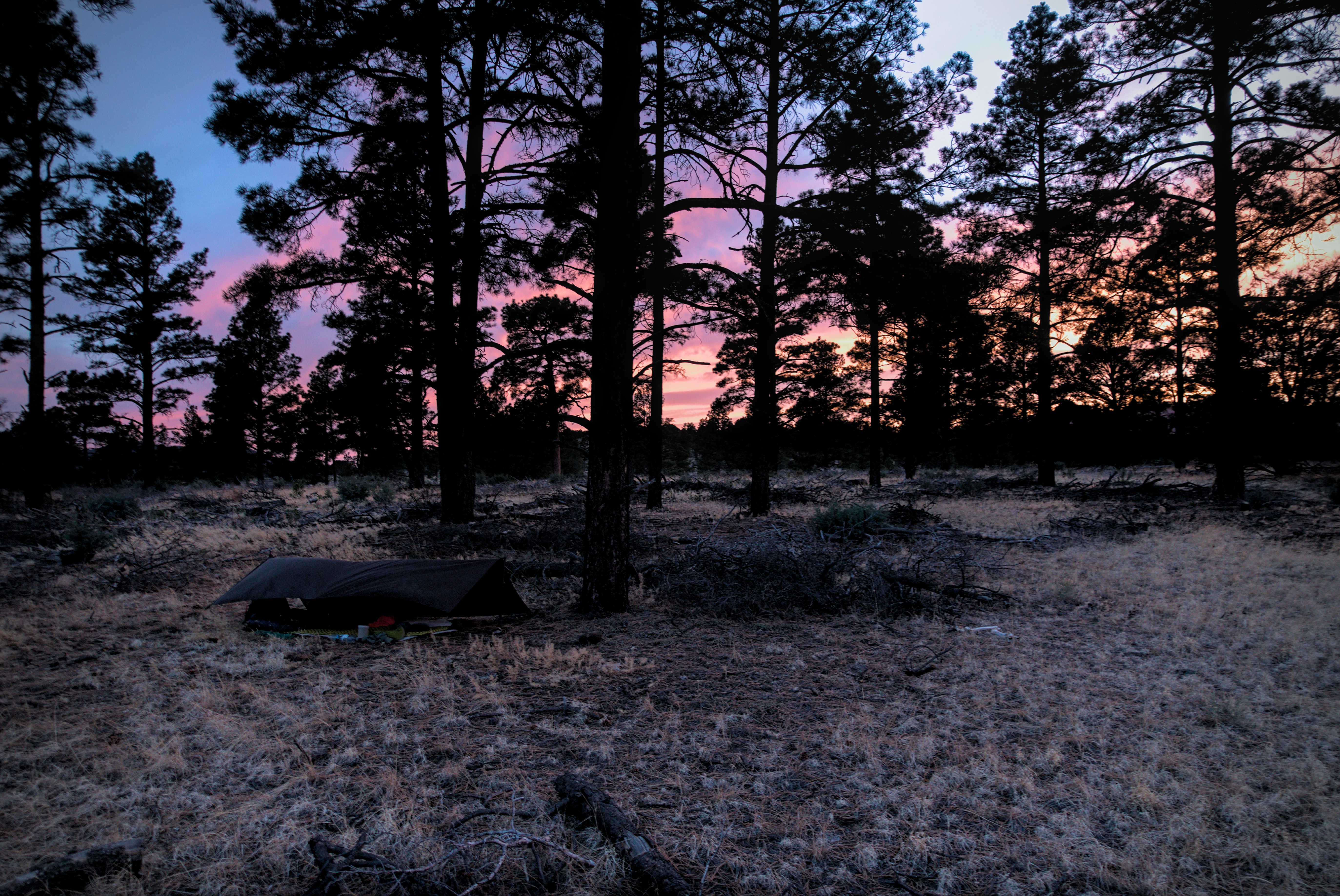
It's colder now, so I'm using my tarp.
Goodnight, New Mexico...
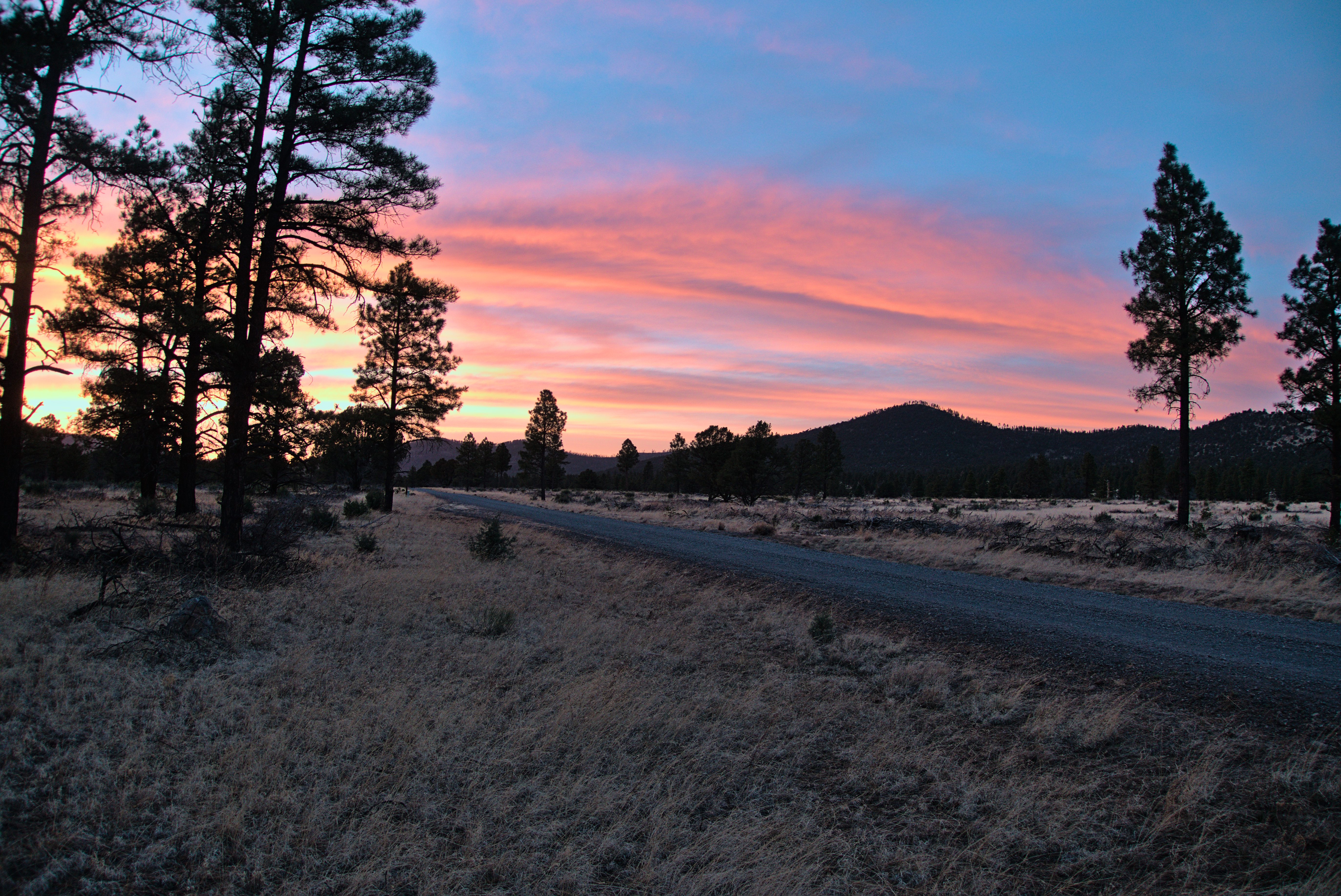
Just a lonely, gorgeous place as the sun goes down.
Last light.
May 4, day 14 - 23.5 miles
Easy walking on a road this morning, for which I was grateful. The old body is quite stiff after a hard day! I saw a lot of people today, relatively. First, a couple of guys, one from Germany. He was generally pessimistic...feet hurt, legs hurt. Even as I agreed with his entirely valid complaints, I guarded my own thoughts against thinking too much about the many pains. Do that enough, and you'll be on the next plane out, I thought! Indeed, when I left the trail near the Wyoming border, I must have entered a similarly negative space, at least partially.
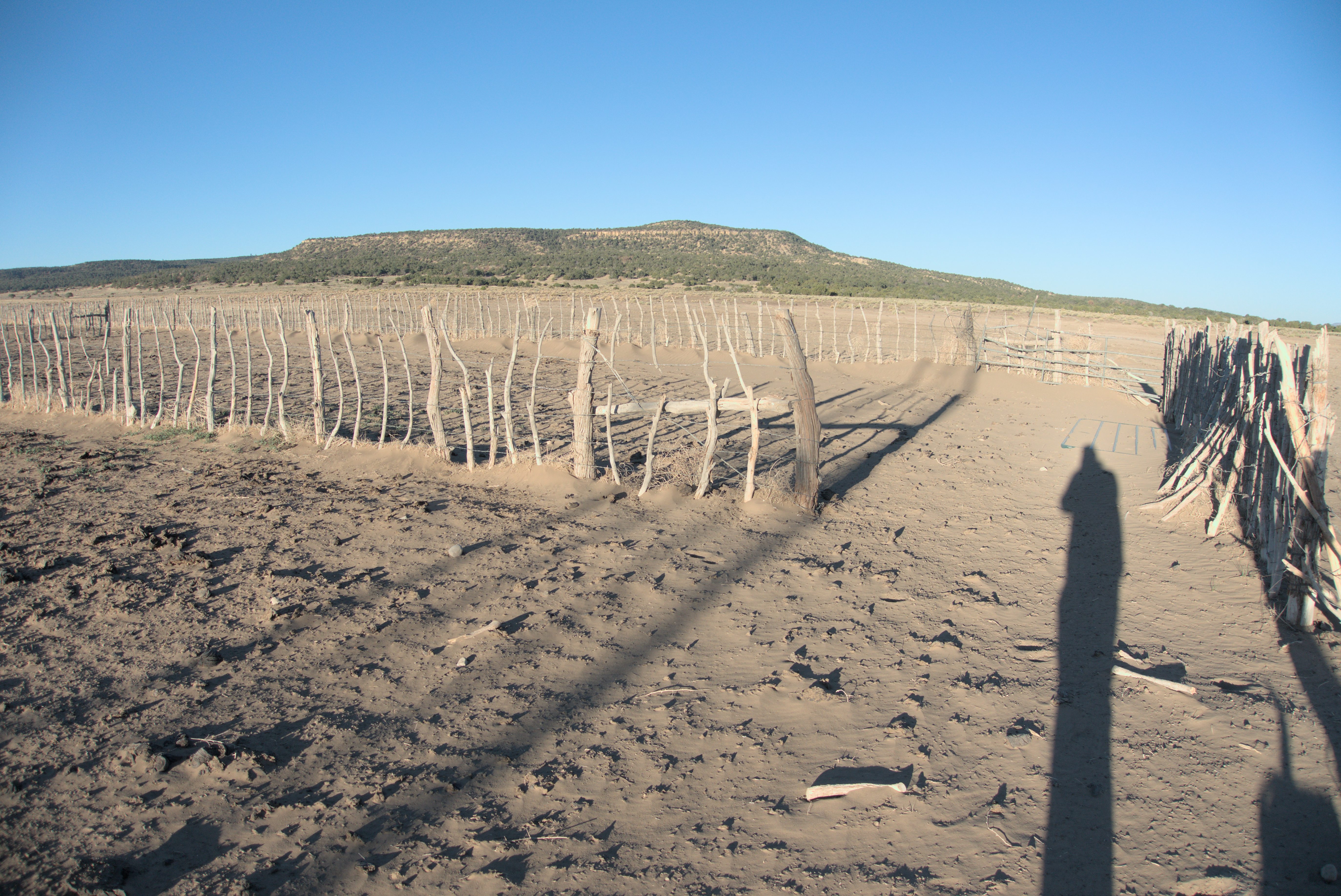
Alone for a while, I reached the crest of the road at a pass. I was in the Tularosa Mountains. Interestingly, the official trail was on a ridge just above me. I hadn't been on the official CDT since a few miles north of Silver City. The official trail avoids the entire Gila River Canyon, sticking to waterless hogback ridges of the Gila National Forest off to the east. Very few people go that way. There is apparently a 40 mile stretch without water, which is kind of unsettling. But at the crest, I was again on the Continental Divide, and soon on trail again. Though I got a bit lost for a few minutes amid some fences and dirt paths.
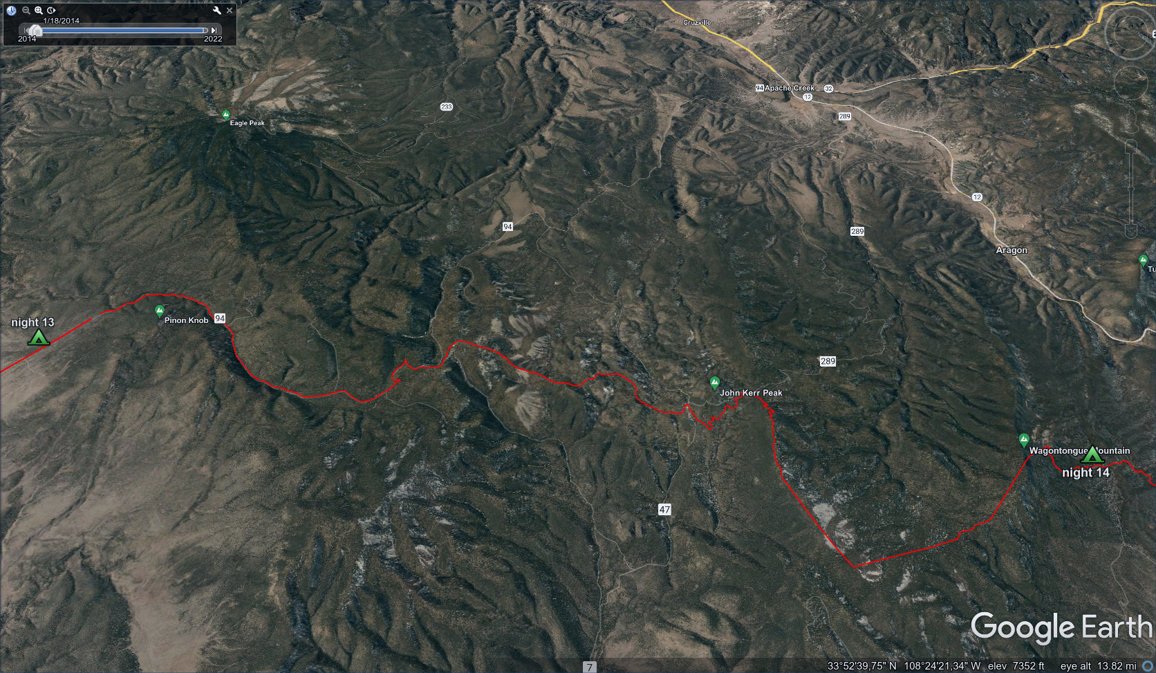
Some tiring up and down country, then over Wagontongue Mountain.
The wind was blowing fiercely up here and the trail started going up and
down on a narrow ridge.
The next hours were interesting. Strong wind on the ridges, which moseyed up and down until I was pretty beat. The trail cut an interesting path, moving slyly along the side of a ridge but sometimes climbing steeply up or down to crests. I met a couple of guys in here, also an interesting older woman who moved slowly, as she said, but steadily.
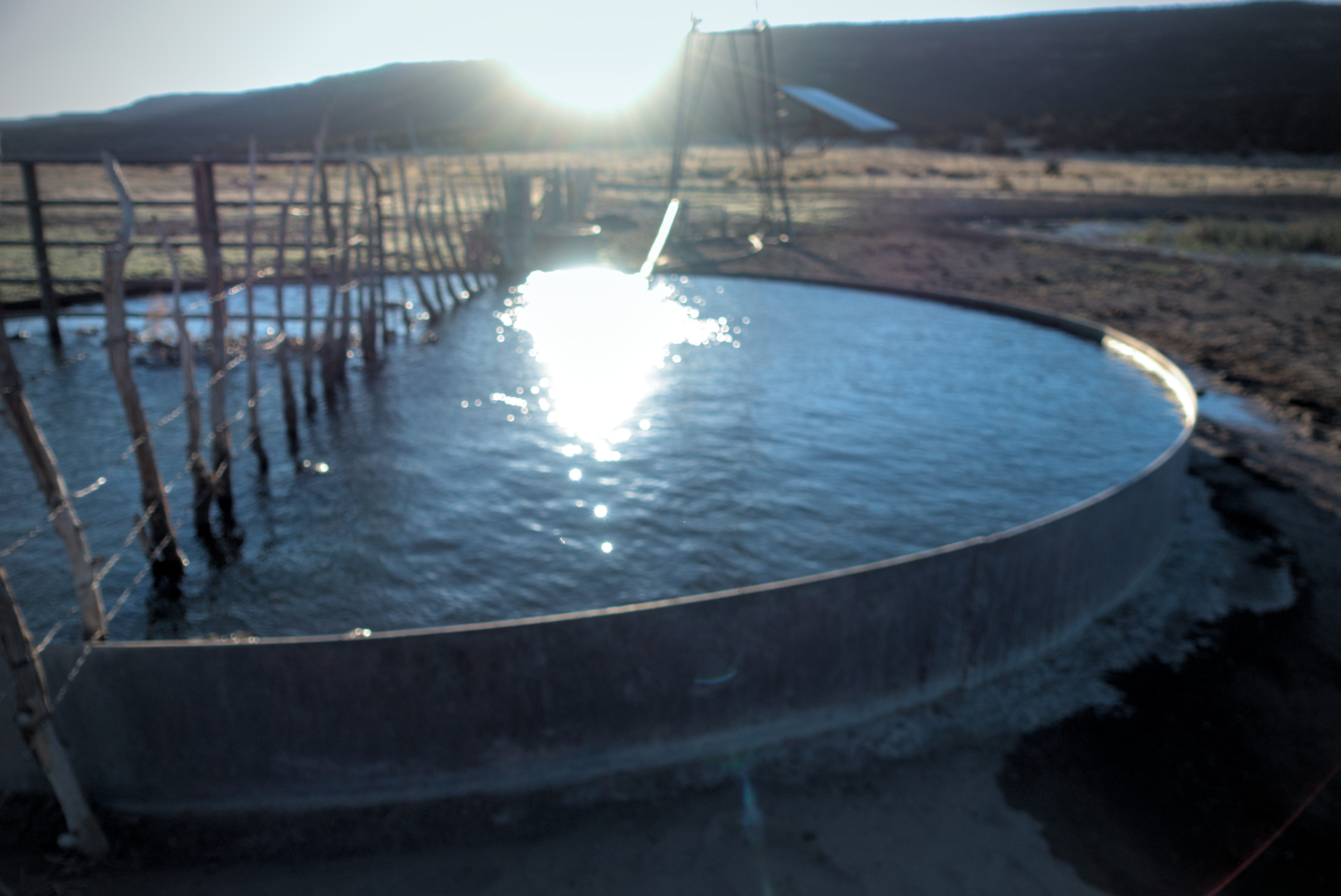
I rounded John Kerr Peak on the right side, then had the choice of staying on the divide by climbing up to a ridge or taking an easier line through forest that had a water source. This was a no-brainer: go for the water and save the legs! A mix of dirt roads led northeast and eventually a huge pond, very much visited by cows.
I think this might have been the Todd Cienega Tank. We had to balance on
a log in the water to get away from the stagnant, gross part of the pond
where all the cows were wading. It looks hot, yeah? But strangely, while
sitting here and eating in the shade, I got cold.
As I got going again I had a little puzzle to keep things interesting. The trail that gets up to the ridge of Wagontongue is apparently confusing. I saw a host of comments by infuriated people who lost an hour or two in here, and others with sometimes conflicting pieces of advice about it. In the end, there was no problem, though I did see some points where someone might walk straight ahead but in error. I was in forest, unable to see very far, and the folded nature of the land made it easy to lose a sense of direction.
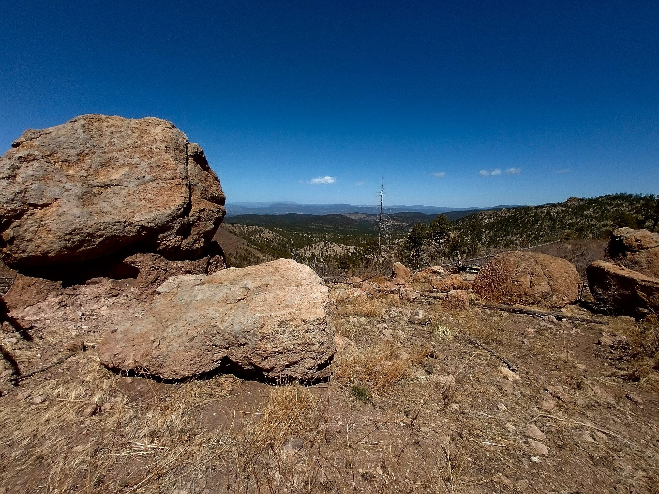
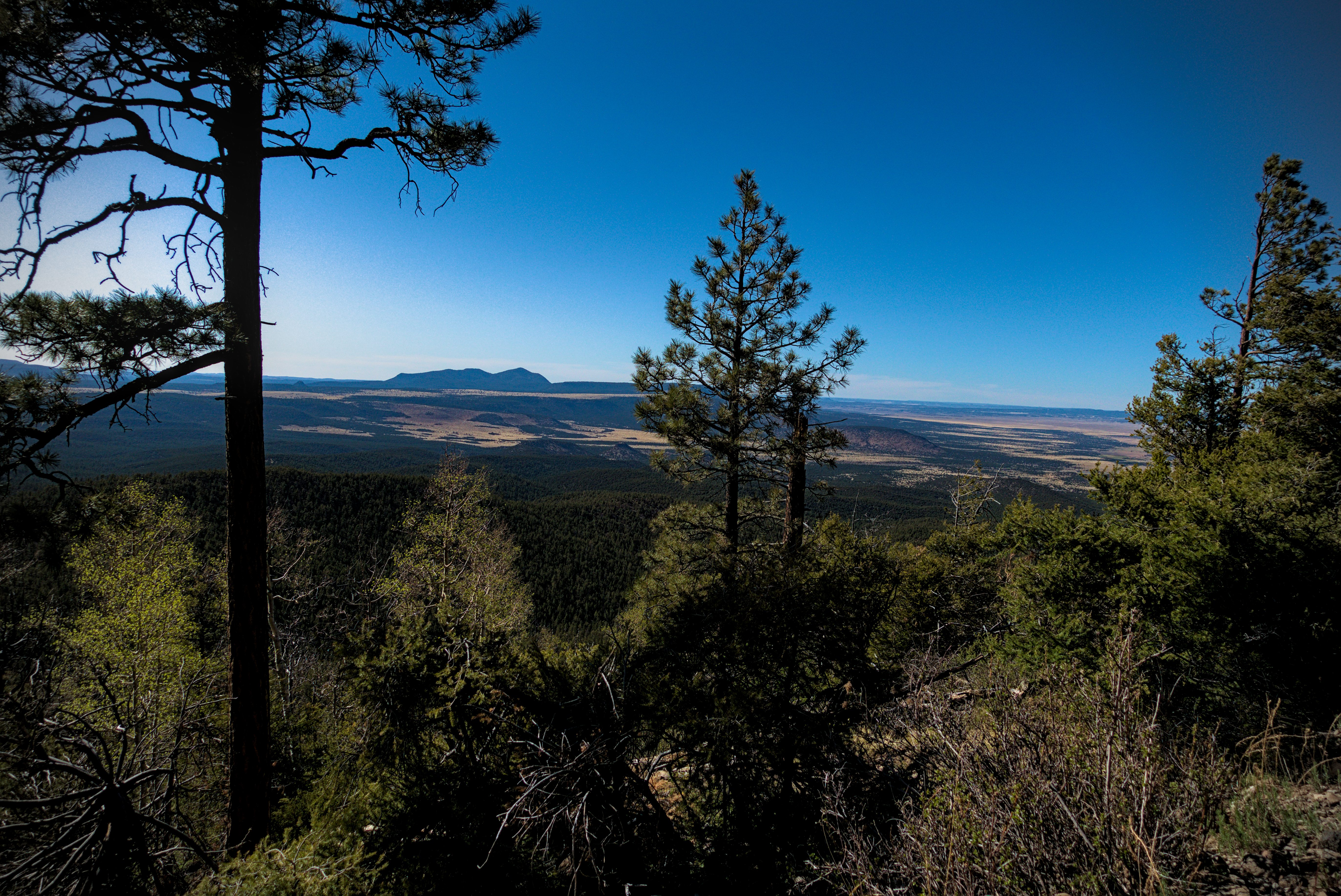
Happily it all worked out and I hobbled (sore feet!) onto an obvious ridge crest, soon reaching the high point of the day near the summit of Wagontongue Mountain.
The view down from high on Wagontongue Mountain was so impressive, so
expansive. This picture doesn't do it justice. The way down was steep
and marked by switchbacks.
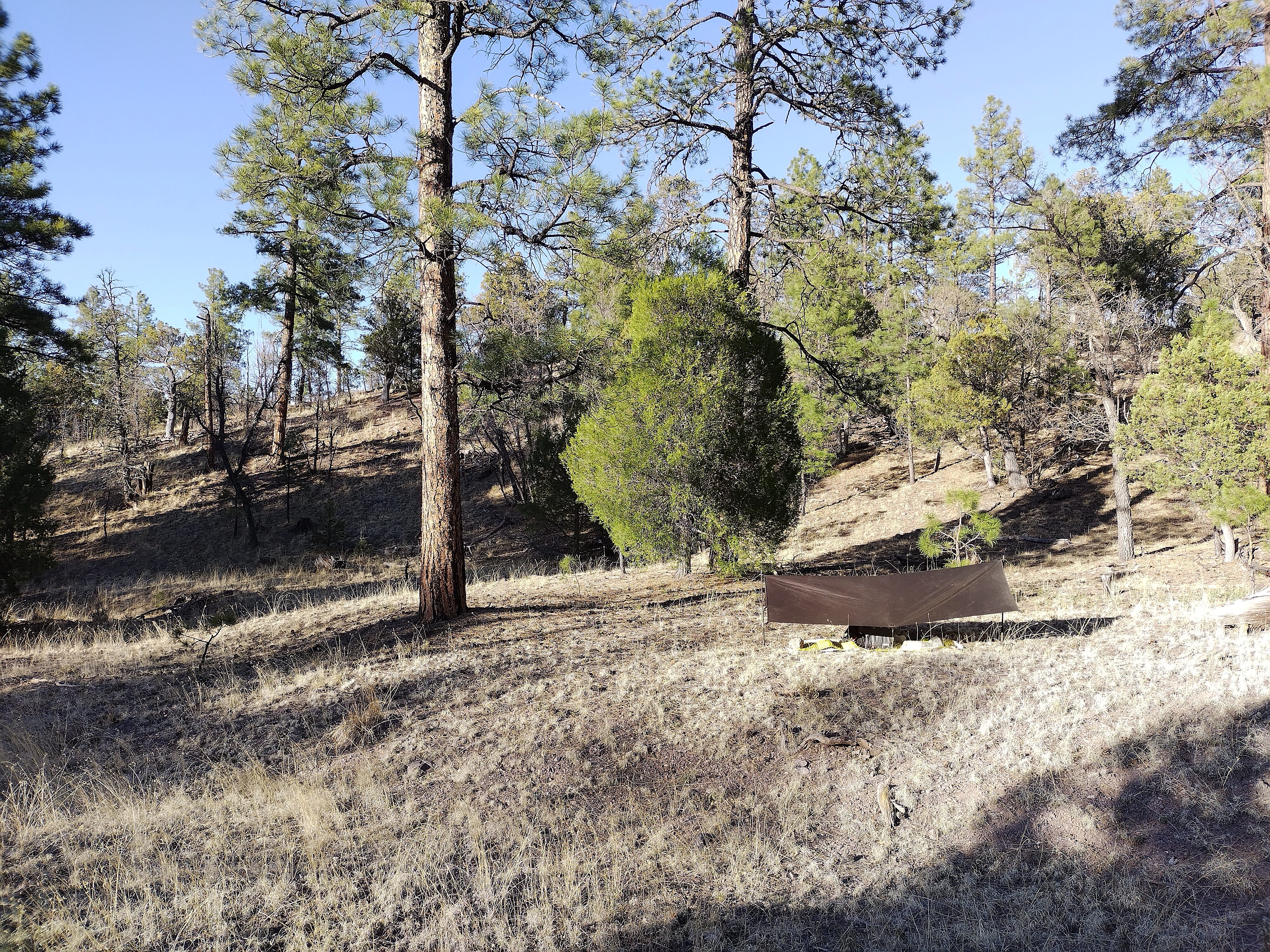
My camp for the night on the north side of Wagontongue Mountain.
By this point, I was really tired. The view was amazing, and I admired the switchbacks coming down. I was also impressed by the chaos of the forest. Downed trees lying at all angles and thick brambles in many places. This was foreshadowing for the rugged forested mountains of Colorado. It probably planted a seed of fear in me. When you think about bears, you imagine slowly backing away, or moving rapidly away, depending on the situation. But suppose a bear is on the trail and you have to come into forest like this...all sharp sticks, big logs, odd angles. You really can't move quickly, quietly or with anything like grace. But the bear can!
I wouldn't know it until the morning, but a huge bear walked by my tarp in the night. Heh.
May 5, day 15 - 24.1 miles
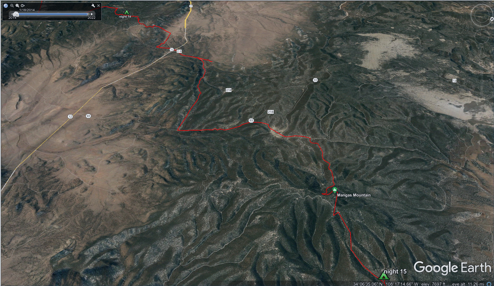
Similar to the day before...a long walk to Mangas Mountain, then a heartbreaking,
rough walk over ankle-breaker rocks.
Bear AND mountain lion prints on the trail in the morning. The bear had
come through sometime in the night, padding right by my tarp which was just off
the trail.
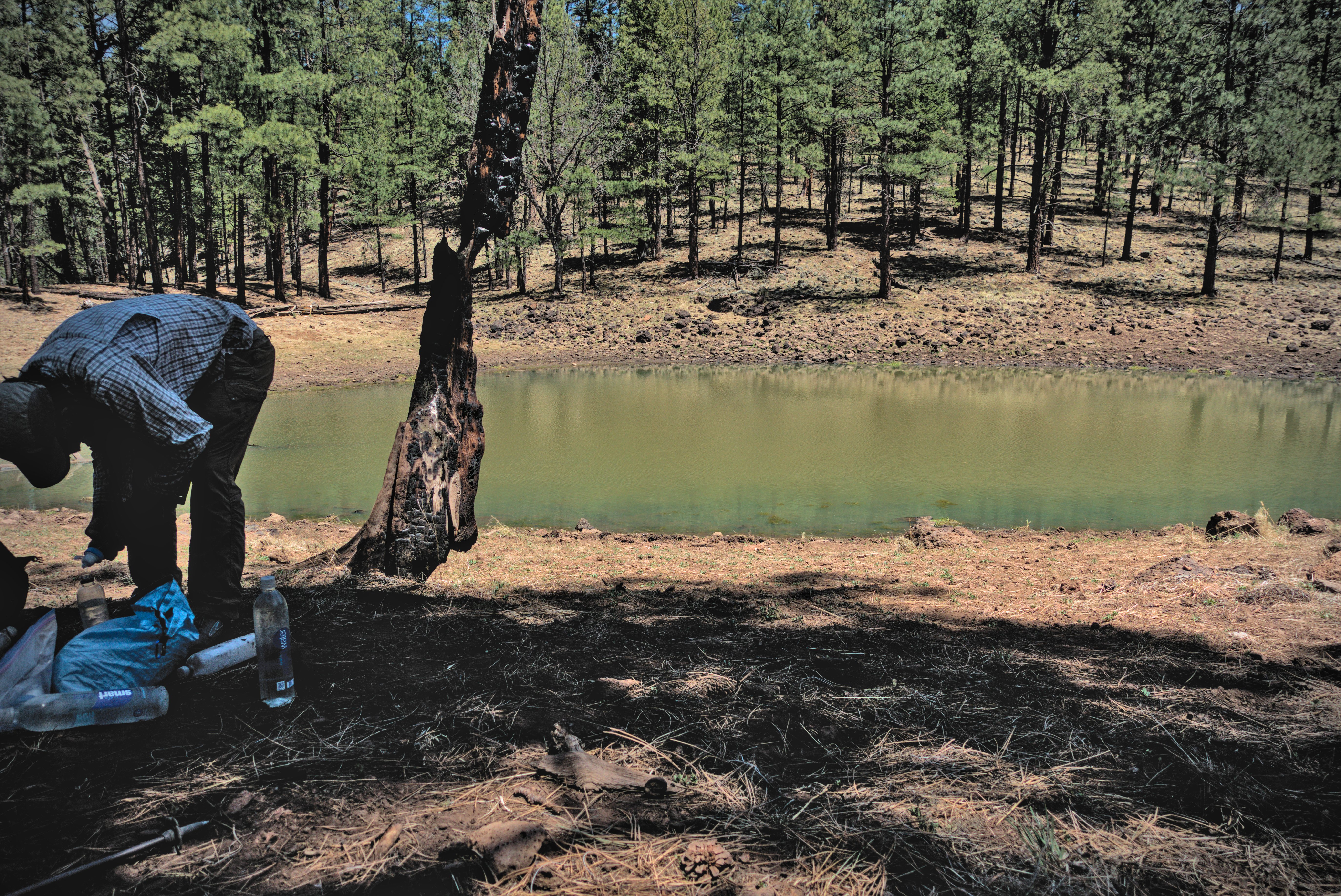
I woke, packed up and started out. My goal was a water tank about 5 miles away, which would give me enough water to make it to a water cache usually in place thanks to a trail angel that lived nearby, at the base of Mangas Mountain. I saw the bear and cougar prints in the picture above, and was suddenly much more alert for the next hour of walking.
I reached the tank, took off my shoes and socks and hung out for a while to filter and drink water. Happily there weren't any cows nearby and the water was quite clean. After another mile or so I reached a road, Highway 12. There was a truck here and several people milling around. I met Shotgun and Critter as they hopped out of the truck and said hi. Apparently there is a town nearby that some hikers stay at to break up the 120 mile walk to Pie Town. There was another guy, Abe Lincoln. He really looked like Lincoln, too! He and I walked together a while, though I was sweating to keep up with him. I was fascinated with him because he walked the Black Mountains instead of going through the Gila. He said that in the middle of the 40 mile waterless stretch he met a man carefully looking at plants. He was amazed by that, because as for himself, he was extremely cognizant of the lack of water, and was hurrying through!
Abe Lincoln must be a legendary hiker. He was going so fast, and this was his second time on the CDT. I believe he'd done all the other trails, too. For his part, he found my tales of mountain climbing fascinating, so I guess we had a good trade. Finally I let him go. I might have seen him again in Chama, but my memory is fuzzy.
After Abe went ahead I could slow down and enjoy the forest. It was pretty nice. Rolling terrain covered in pines with dirt tracks snaking through it. It was sunny but not too hot. Later I was on a paved road and passed by the Valle Tio Vinces campground. I think there was a truck there. On the other side of the road there was supposed to be a water cache. I ended up wasting 30 minutes looking all over a hillside for it, going up and down. Eventually I gave up, wondering what I was going to do about water, then sure enough, by a big shade tree I stumbled on the cache with a couple of people sitting there around the white plastic water containers.
We joked about that a while. I'd met some of the people the day before. Oh, there was one really cool older guy. He and I started out together walking east upslope towards Mangas. I can't remember his story, but it was compelling. We had a deep philosophical conversation. Mind refreshed, I waved goodbye and headed up the switchbacks towards the summit. There is a fire lookout tower on the summit, but according to app comments, they don't want hikers to bother them. This was the highest point so far on the trail at 9,600 feet, though the views were mostly blocked by trees. I was feeling pretty tired, but I wanted to get down to a lower elevation to camp. I turned off the main road onto a nightmarish track that was so uncomfortable to walk on. Every rock was toaster sized and highly moveable. I had to look at my feet the whole time to avoid getting hurt, and even then it felt like I could sprain an ankle. Over the next two hours, I was always looking for ways to get off the track into forest on the side, and I might have done that once or twice, but always ended up back on the track.
This is probably in Barreras Canyon, a mix of dirt road and trail leading
to the water cache near the Valle Tio Vinces Campground west of Mangas
Mountain.
The view on Mangas Mountain.
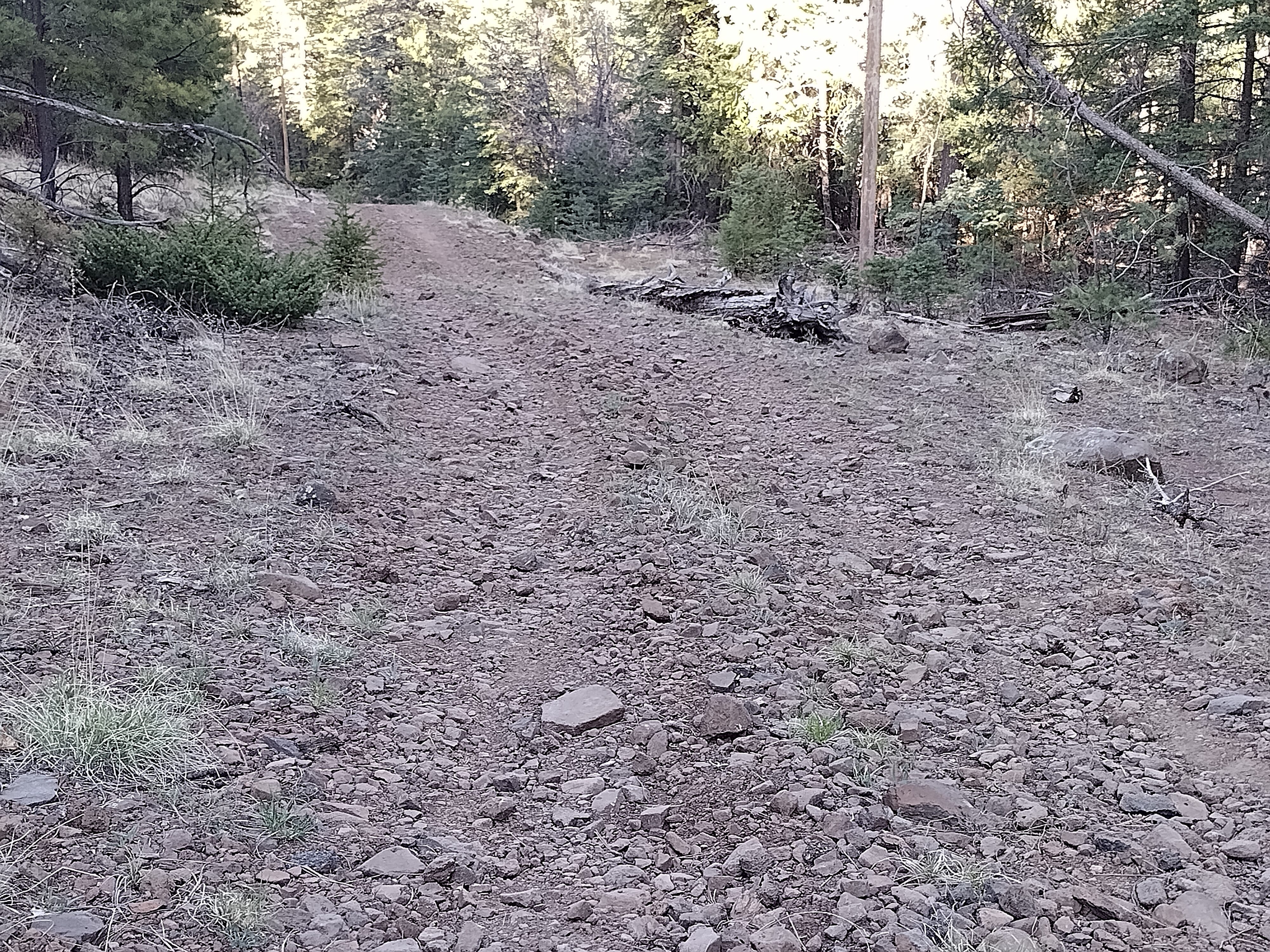
I took this picture in frustration, feet and legs hurting with every step.
The problem with building a road on this terrain is that it just exposes rubble,
and the road turns to rubble after only a few seasons. I kept looking left
and right to see if I could walk off the road to save my feet from the
"ankle-breaker" rocks.
My camp for the night, much like the previous night, in that I hobbled down
from a peak to lower country and just collapsed.
I stopped when I just couldn't walk anymore. But at least I knew the road would improve within a mile or two. I actually had to move my camp. First I camped at Lower Cat Tank, a dried-up water source. But as I got my sleeping bag out and ate dinner I realized mosquitoes were beginning to swarm. I reasoned that the tank had had water until recently, and all the bugs were the "leftovers" from that heyday some days or weeks before. Argh...I knew I wouldn't sleep with them swarming around, so I packed up and moved a quarter mile down the road. No bugs here. That made sense to me...those bugs have to have water to live.
May 6, day 16 - 22 miles
The delightful Davila Ranch, then a road walk to Pie Town.
It was heaven walking on the broader road. I didn't know if I'd make it to Pie Town today, but I was excited about the Davila Ranch, which supposedly had amenities for hikers in a "self-service" kind of way. I figured I might just stay there for the night.
I got to the ranch to discover 2 or 3 tin sheds, each with a different service. One was a shower. Another a washer and drier, and the last one a full kitchen. A few other people were here, and we were all tickled pink with this wonderful surprise.
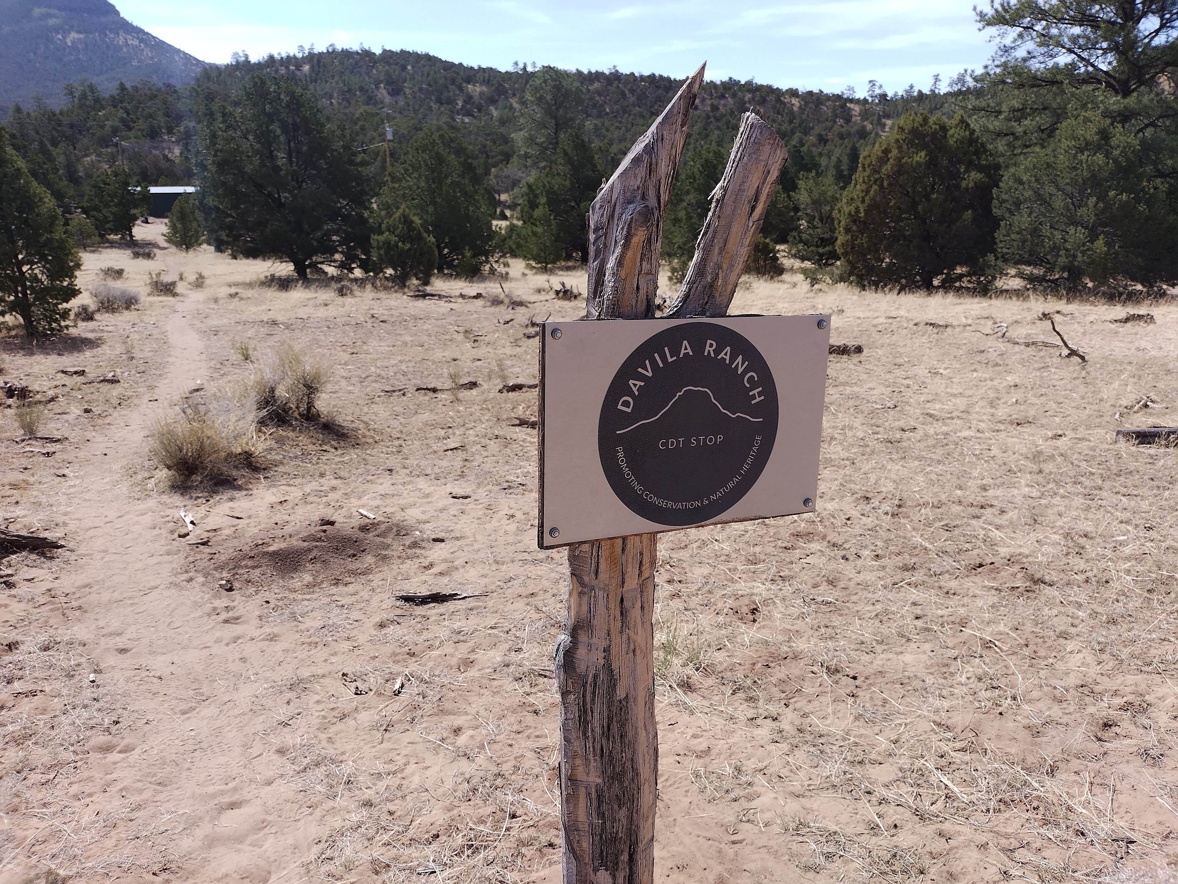
I had no idea how wonderful these little tin sheds would be!
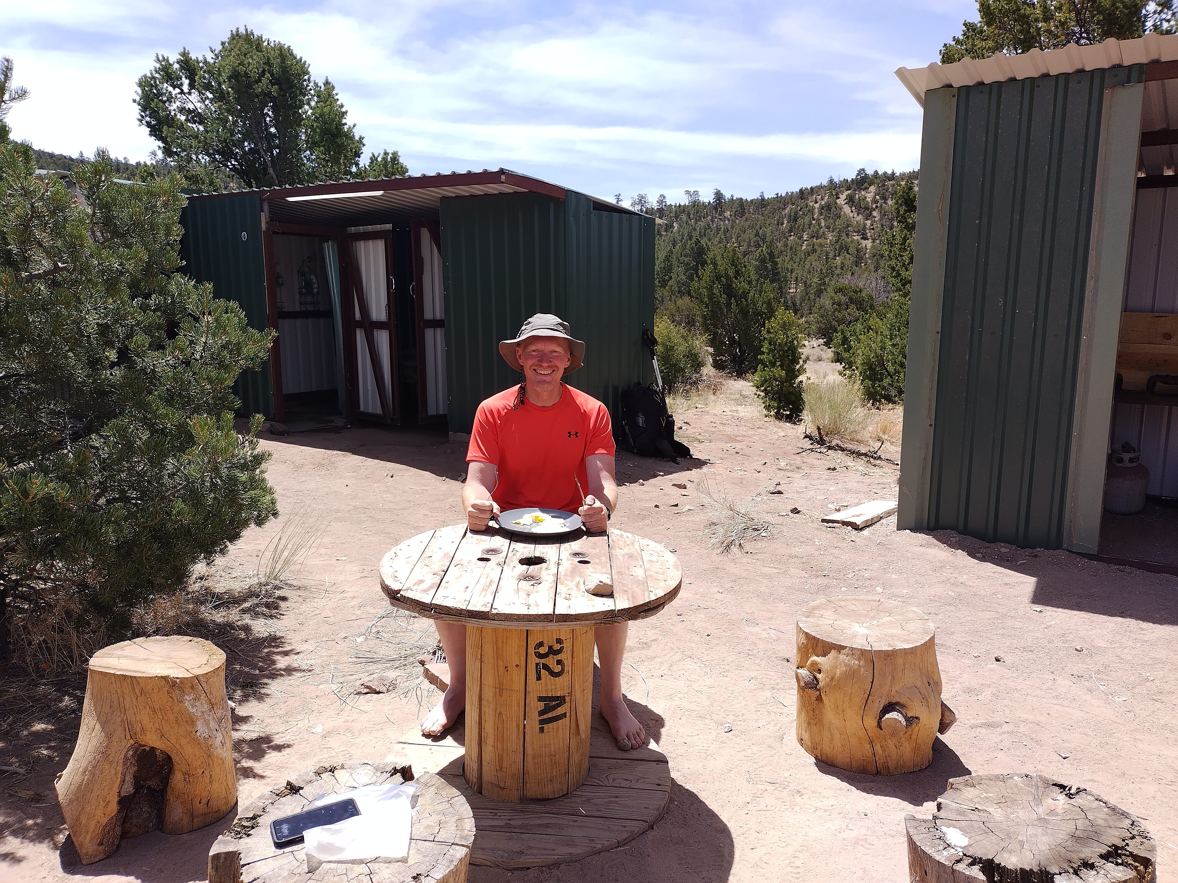
I've cooked myself some eggs and potatoes. I'm freshly showered and my clothes
are in the washer. My phone is downloading messages. This place had everything
a hiker could want!
Later, one of the ranchers who maintains the place came by with a few dozen eggs for the fridge. He said that frankly, they made this place because without it, injured or lost hikers kept appearing at odd places in the ranchland around here, knocking on doors and needing help. The ranchers never knew where to take the hikers. So they built the Davila Ranch as a magnet to corral wayward hikers. Ranchers could bring them here, and they could get a ride to town later. He also told me why that road I hated so much the day before was like that. He said you can't build dirt roads here. The rain comes and just uncovers another layer of rubble. Soon it's a deep trough of toaster-sized rocks. He said hunters come from Texas and ask for a road. It gets built, but is worthless after only a few years. I can attest to that!
After my shower, my clean clothes, the wi-fi, and a lunch of eggs and potatoes, I was full of energy. I decided to walk to Pie Town.
I've really tried to figure out what the name of this peak is. There was
nothing to look at for most of the road walk to Pie Town except this.
But it's tough to find out anything about it. Was it a mirage, captured on
film from my overheated brain waves?
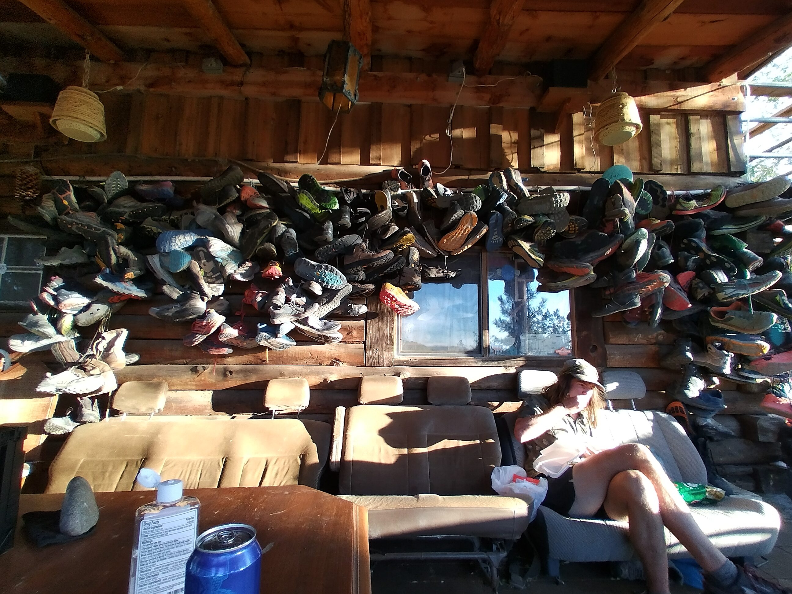
Good evening Toaster House! Hikers often receive new shoes here and say goodbye
to the old pair. I've lost the name of the nice young fella eating something
there. Note that the "couch" is made of seats from a van.
I got there in the evening to something like a party. There must have been 30 or 40 hikers here. I was hoping for a bunk in the house, but I just had to make due with crashing on the lawn. Happily I didn't need a shower or laundry, thanks to the hospitality of the Davila Ranch (I sent them a donation with PayPal). I broke my 8 month vegetarian streak with some soup at the Pie Town house...it just smelled so good.
Go Go and Blueberry were here. I sat with them and a few others, joking and drinking some beer that the German man I saw a few days before had bought. He decided to go home now so he could enjoy the summer in the Alps. These mountains were just a bit too punishing and colorless in comparison with the Swiss peaks. I definitely understood...though I was enjoying that lonely aspect of the challenge, at least so far!
May 7, day 17 - 16 miles
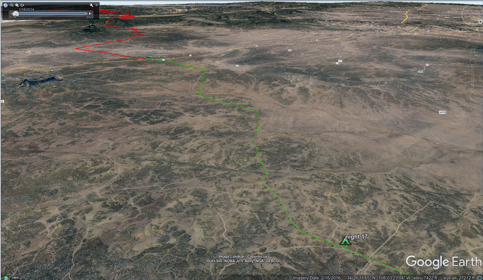
A long walk directly north to a friendly rancher's property.
The blog covers a few days around here in At Davila Ranch.
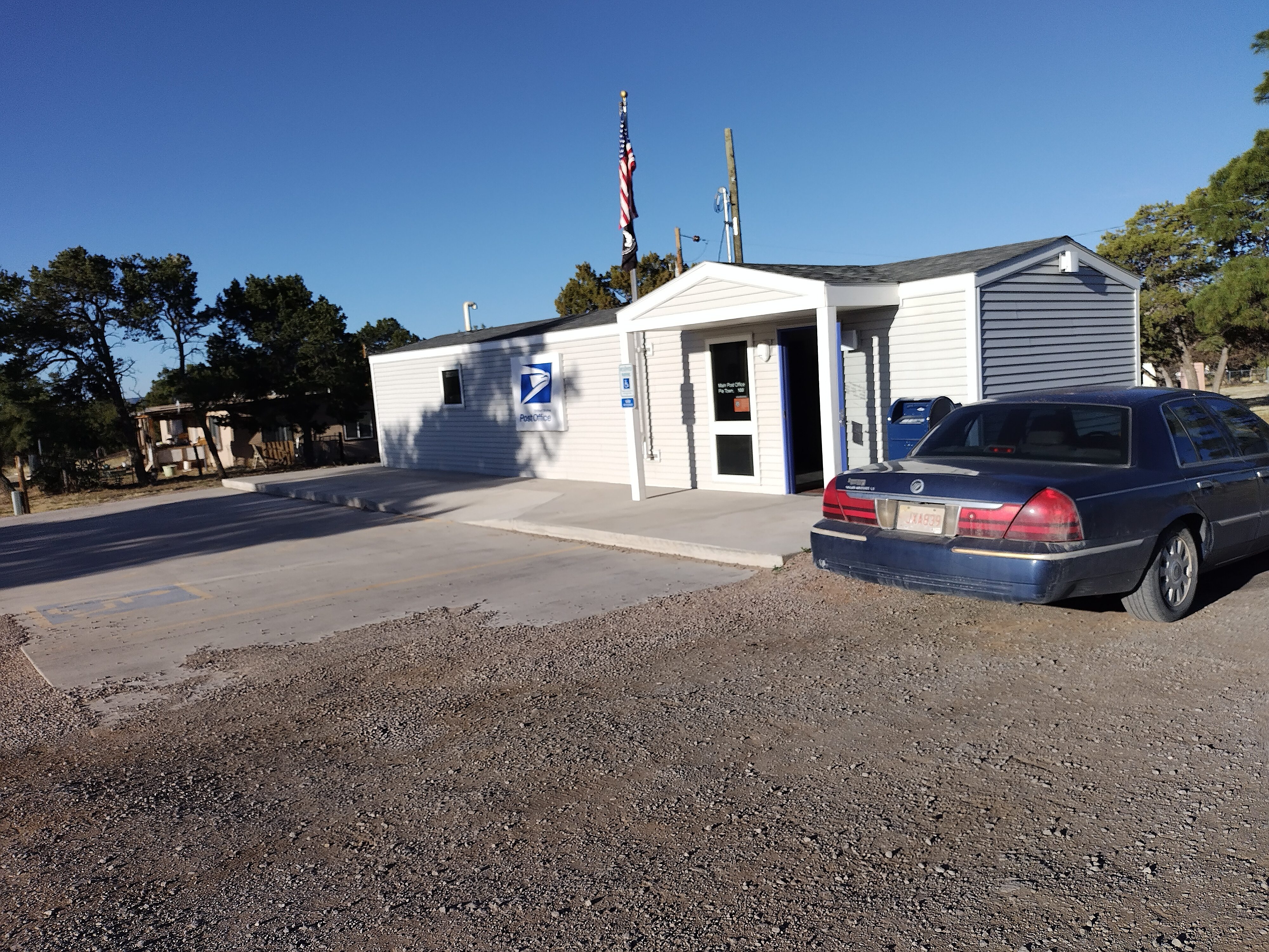
The Pie Town Post Office.

They had my box shipped from Silver City! Good, because there are NO stores.
I got up very early off the ground and sat in the kitchen with other folks and bonded over coffee. I met Stephan here, an experienced hiker with interesting thoughts about how our food needs would change as we entered the mountains. Basically, a LOT more calories are required every day. I found him to be absolutely right about this. And the weight of authority he brought to the argument made it easier for me to accept the heavier food bag in Colorado.
Stephan is also a Christian, full of the felt love of God, and wonder at the way He works in the world. He was the first Christian I met, and we spent the morning talking rapidly. I got my post office box and came back. Then we went to breakfast together at the pie restaurant. Stephan had many thoughts on the economy, including an impending collapse. I challenged him on certain assumptions. But generally we had an enjoyable back and forth. Stephan was one of the great gifts of the trail.
Me and Stephan. We bonded over pie. What a cool dude.
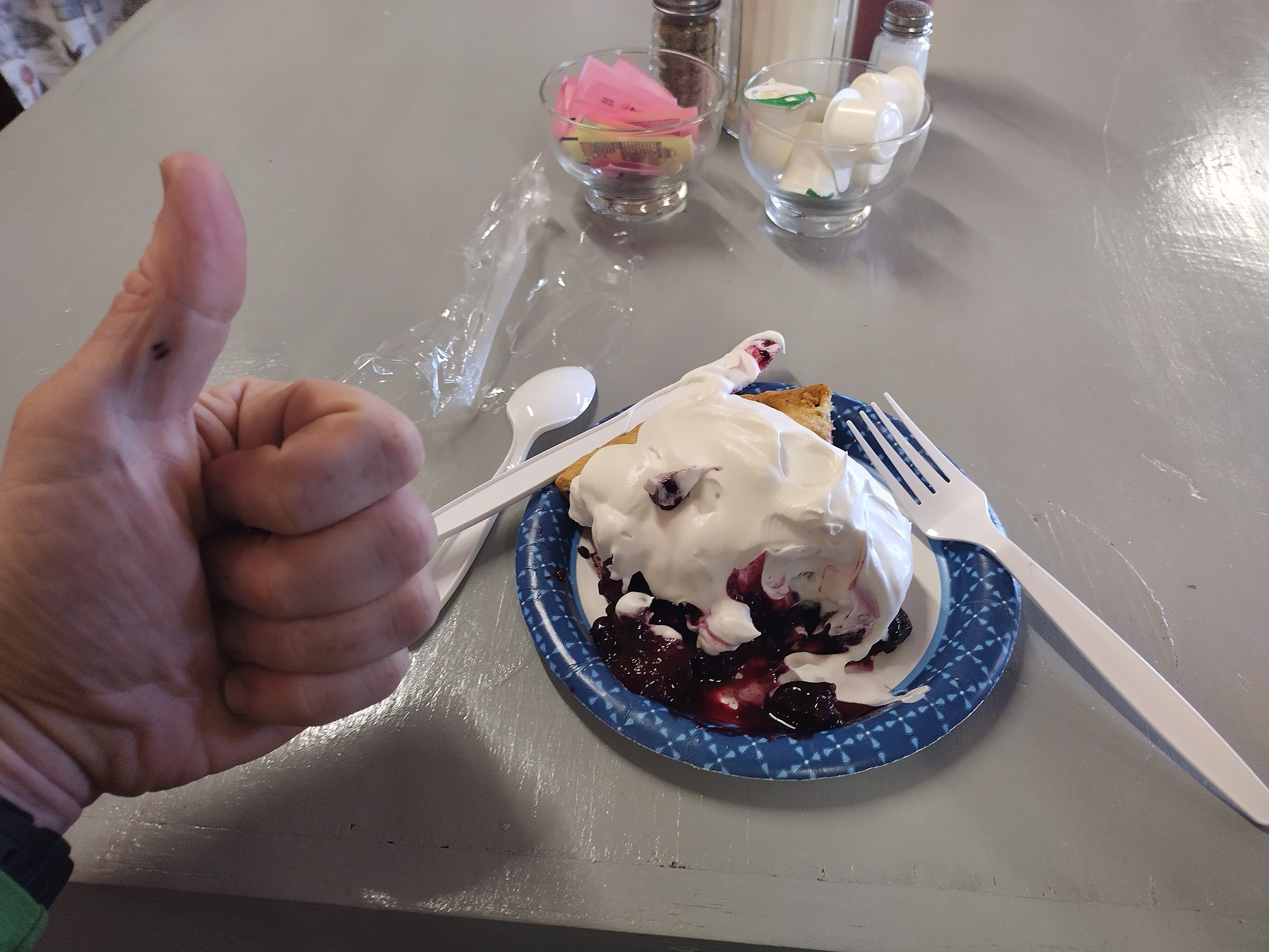
My free slice of pie in Pie Town! Oh man, it was good.
I was planning to have a full rest day, but the great rest the day before at the Davila Ranch, combined with the continual crowd at the Toaster House was making me reconsider. Friendly hiker Low Branch was sleeping in a bunk, and offered to give it to me when he took off later in the day. But then he announced he'd stay another day, so I was looking at sleeping outside again. That cinched it: I'd head out in the afternoon and make for a friendly ranch property 12 miles north where I could set up my tarp and drink their water.
I packed for four days, leaving some of my supplies in the house for others to use. Generally, I brought one more day of food than I thought I needed for most stretches, and was comfortable with that. I could begin nibbling on those stores once beyond the halfway point if I was ahead of schedule.
Inside the Toaster House. I'd ended 7 months of vegetarianism the day before
with eggs at the Davila Ranch, and then some mystery soup someone made in
the Crock Pot visible in the picture. I just couldn't resist it...and it
had chicken.
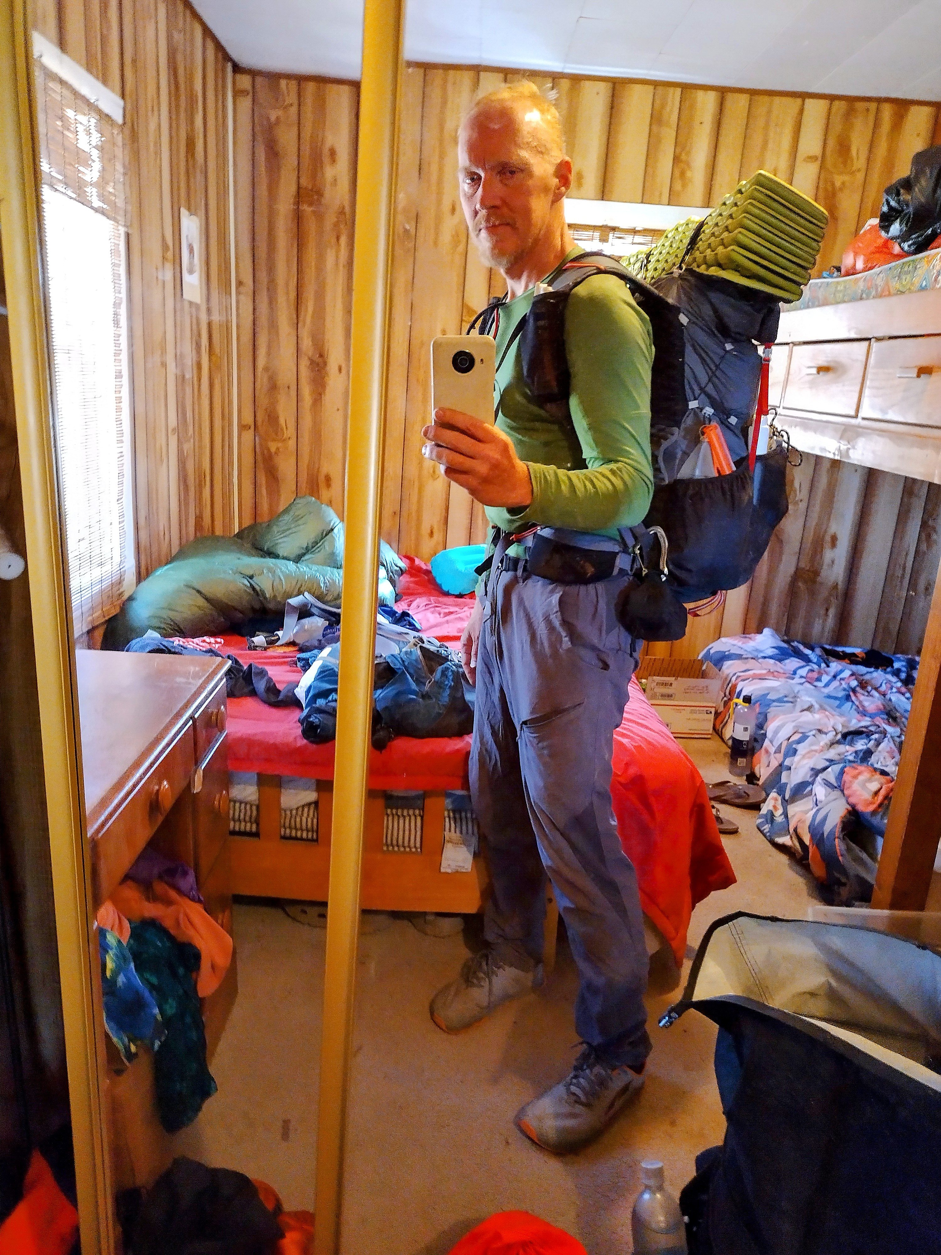
I'm ready to set off with 4 days of food to reach Grants. Skinnier, sunburned
and tougher after so many nights sleeping on the ground.
This fantastic man on the left came by in an AT vehicle with a silver pitcher
of cold water for us. He said he's the only white man who owns land in this
stretch. Brainstorm smiling in the middle.
On the walk north, Brainstorm and I spent a good two hours talking. It got quite heated! I'm afraid I was picking on him a bit. You see, we'd been walking and a trail angel pulled up with a silver container of ice cold water. We talked to the man for a while, and he went on his way. As he drove away, Brainstorm said "it's all about love." I heartily agreed. But a minute later, he said that Jeff Bezos should be hung by his neck until he is dead.
"Why?" I asked.
Brainstorm invoked the aching hordes of millions, groaning under the yoke of the great, satanic capitalist lord. I didn't buy it. I said that we like the things Amazon does for us, and so WE made him rich. If it weren't for us, he wouldn't be a great satan. And is he such a satan, anyway?
Brainstorm had never heard arguments like this, I think, and was incredulous. "How can you say these things?" Our argument raged like a summer storm from one side of the landscape to another. At one point I mentioned God and spirit, probably trying to defend my way of looking at things. But this was doubly offensive. First I'd defended a satan, now I was trying to "foist" motivations or beliefs onto him, and I didn't have the right to do that.
"Okay, fine. Then let's take your view of things. The world groans under oppression. And there is nothing but chemical material. When we die we become nothingness, and nothing is learned. Here is my question:"
"When you achieve your end. When all the 'satans' have been hung. What will happen? Because...don't you see that the satans came from the people, and are raised up by the people, too? For how many milliseconds will your utopia endure before it's back to fighting?"
He didn't answer this. He was still trying to convince me that Bezos is evil. At this point I finally called it quits. The examples were becoming either cartoonish or insulting, it is hard to tell which (one that Brainstorm forwarded was quite pungent: 'how can you say that this man, who murders your own sons in his factories, who...'. He was trying to overwhelm reason with ever-more emotional appeals, a natural strategy but increasingly ineffective).
So we gave it up. Here Brainstorm did a remarkable thing. He said, "let's be friends," and gave me a big bear hug right there in the middle of this lonely New Mexico road. He is very tall, so I felt rather helpless! He gave me a kind smile, and I admired his ability to express kindness to one such as me who must have filled him with perplexity and confusion.
After that, at the ranch, we looked at each other and grinned with some depth that couldn't have been there before. We knew each other in some fundamental way. I guess he thought I was certifiably insane. But I couldn't not like him. He is a cool guy. We won't talk about these things anymore! But he's a cool guy nonetheless.
Stephan showed up a bit later, and he and I stayed up late talking of many things. He and I had become the politically incorrect duo, I think. But I didn't care. It wasn't that Stephan shared my views. It was that he was willing to use his imagination and see the playing out of his own views across space and time. That kind of "play" is one of my favorite activities. Brainstorm and I were doing that to a degree, but the emotions were a bit too high for comfort.
I've heard it said that humans are willing to go one, maybe two steps out of their comfort zone but three steps is just impossible. With Brainstorm and I, it was a "2.5 step" conversation...often difficult! With Stephan and I, we ranged between 0 and 2. Easy, and therefore we could exchange a lot of information quickly.
May 8, day 18 - 23.2 miles
A long road walk, then a trip through Armijo Canyon to a camp in Cebolla
Canyon.
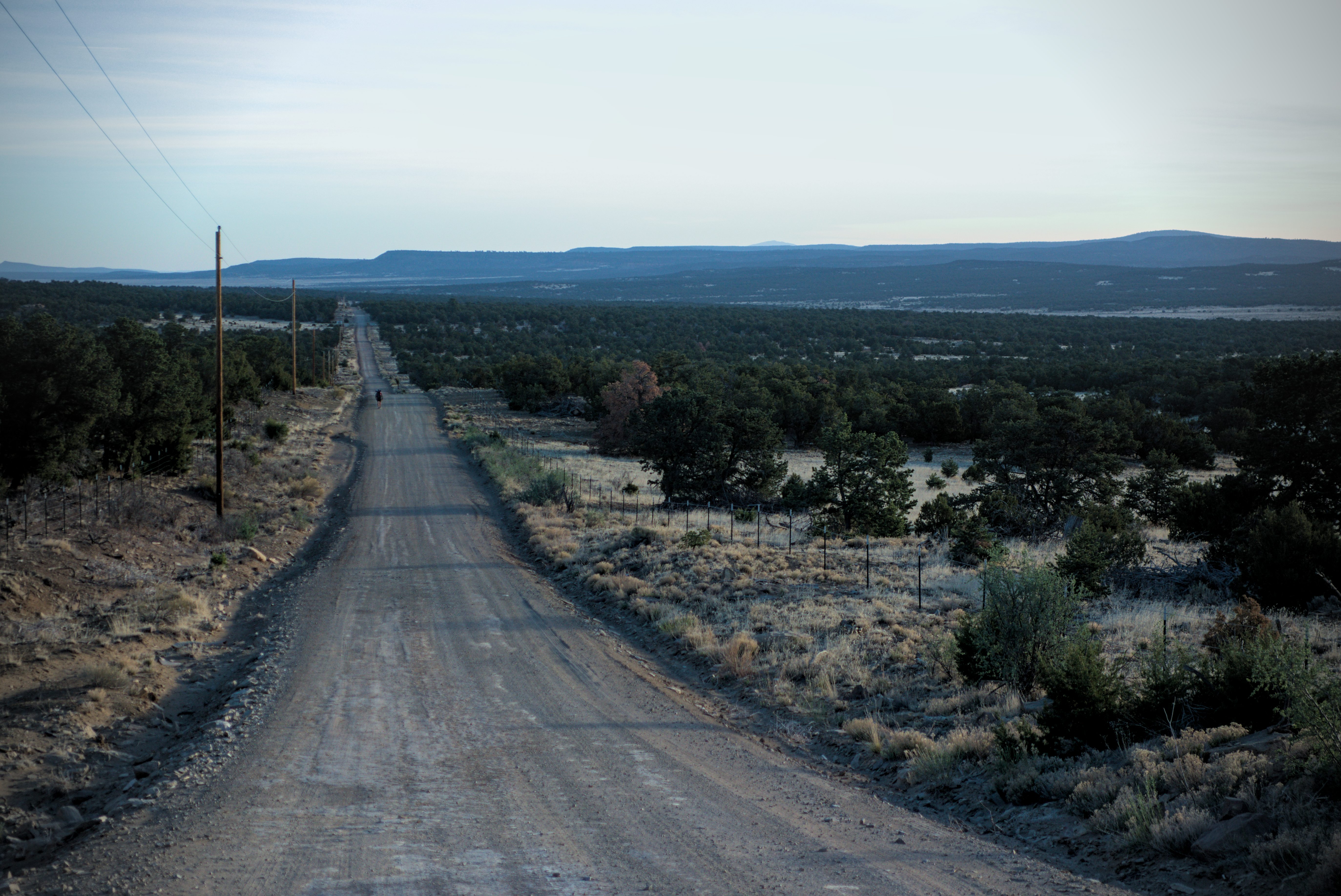
It's 6 am, and the hikers are moving north.
Mile after mile, a straight road. I didn't find it boring. I liked thinking about the blue mountains in the distance. What would it be like in them? How would I traverse or avoid them? What strange camps in odd gullies lay ahead? I generally have a lot to think about and am happy with this kind of terrain.
It's 8:45 am, and we're still going.

A hiker has left the road, turning due east into Armijo Canyon.
I had a fun talk with Apples in here, a tall woman dedicated to adventure with her husband Man Hands. We chatted about podcasts, blisters and sports training and motivation. I think they live in Hawaii.
Finally off the road, I was moving east on sandy trail into a canyon with an abandoned cabin. There were interesting rock structures, too. Though it was getting pretty hot and I was eager for the water tank.
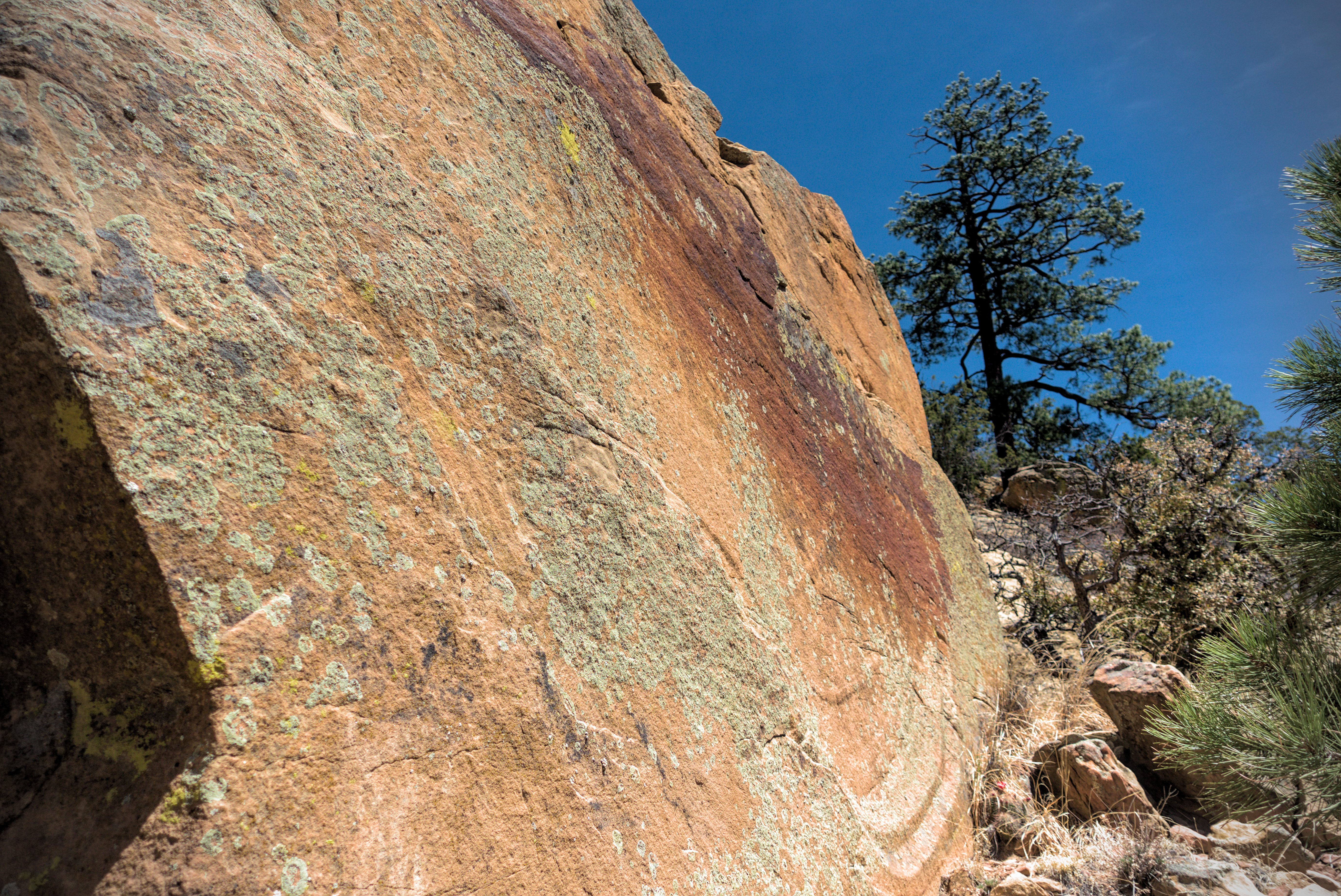
A colorful rock face near the abandoned cabin in Armijo Canyon.
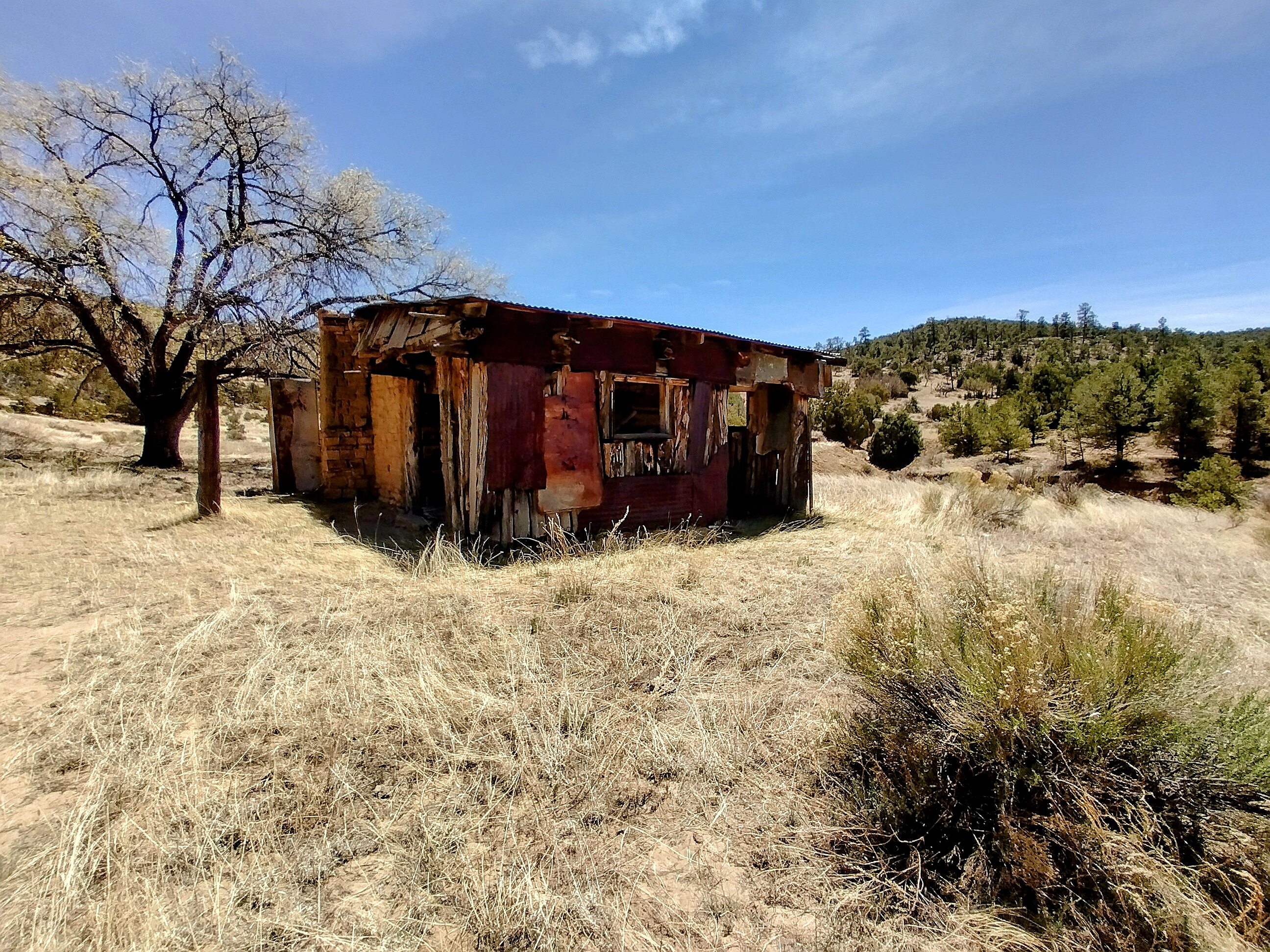
The abandoned cabin.
Beautiful rock formations of Armijo.
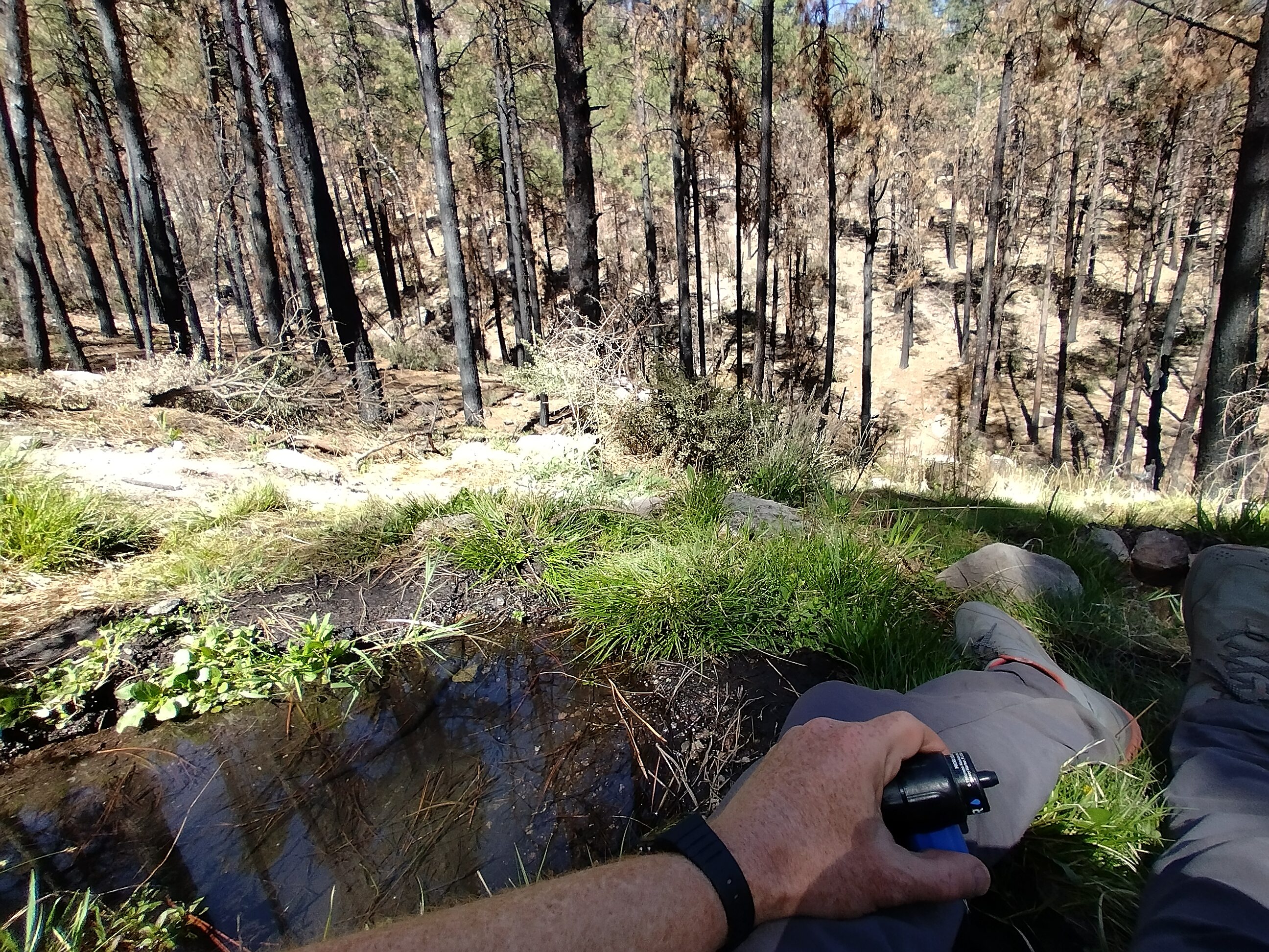
At the tank which was reached after a short climb, I took off shoes and socks, resting and filtering water in a little patch of shade. I think someone walked by, choosing a different place to get water from in the lake.
As afternoon turned to early evening, I was beginning to hobble. I entered the Cebolla Wilderness and came to a larger road. I had notice of a water cache sometimes being here, but there was nothing. I pressed on just a bit further and found a flat place to camp partially under some bushes.
It's funny, I left my container of refried beans sitting out in the sun near the trail and Patches and Emma came by, wondering about it. I walked up and retrieved it and they laughed. They camped just a bit farther on, and I waved to them in the morning.
An uneventful night.
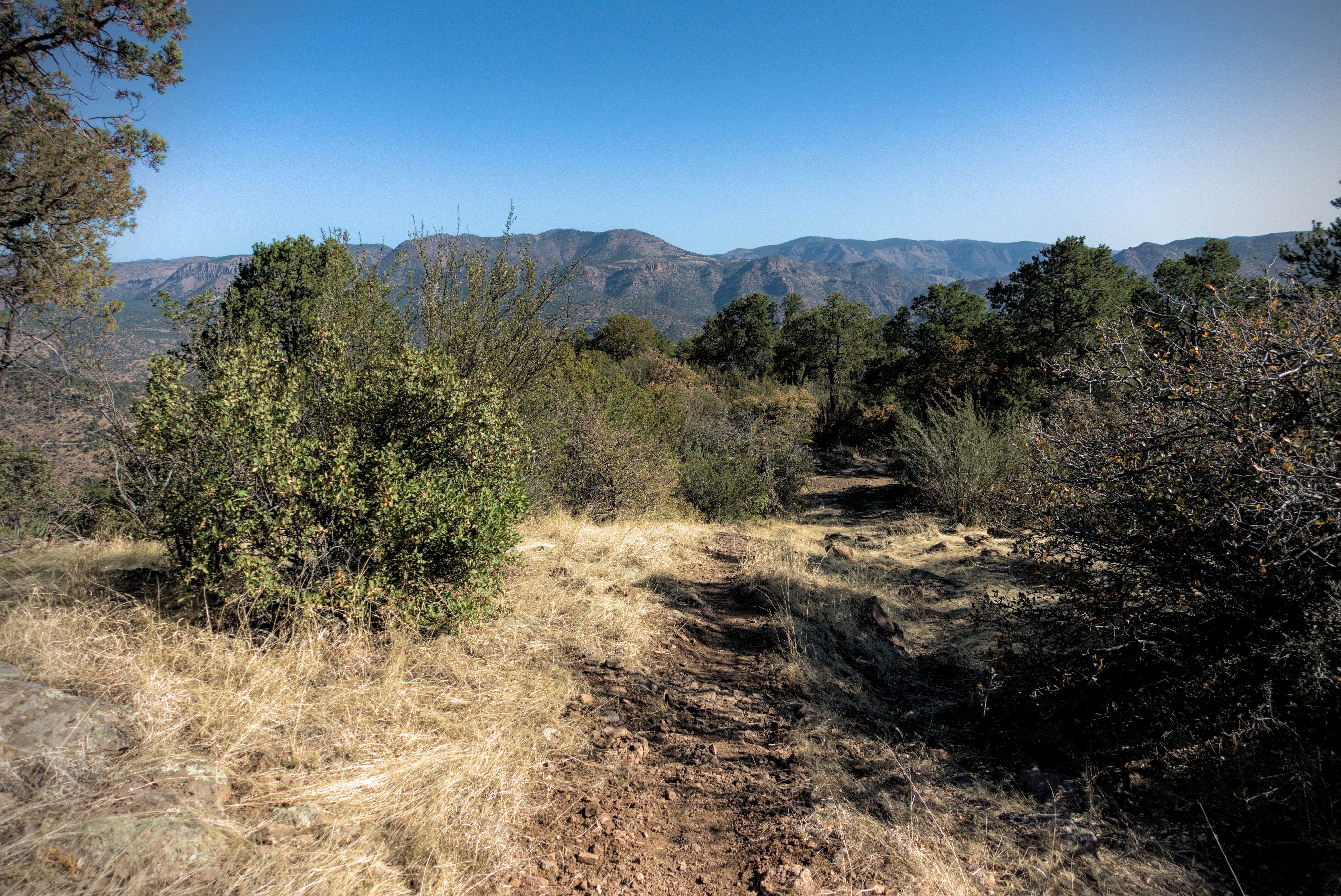
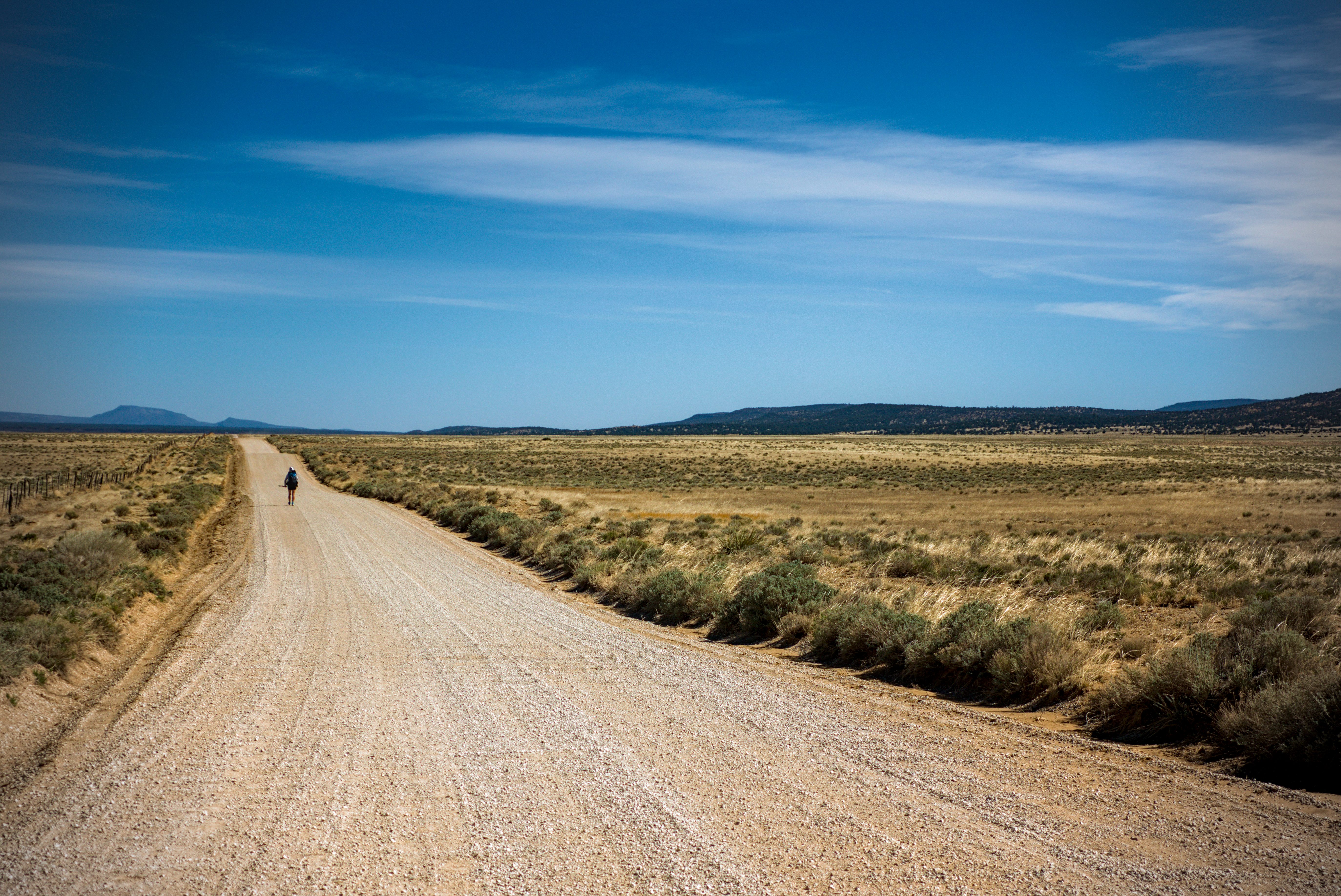
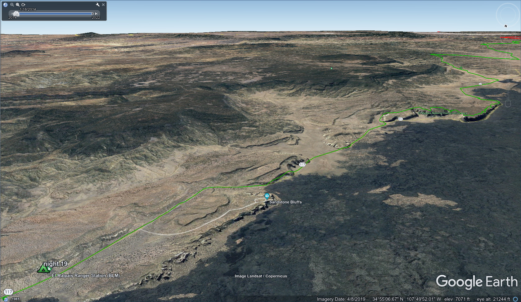
May 9, day 19 - 22 miles
Up early for water, then an adventure hiking cross country, then a long
road walk.
The blog entry tells of this section as well.
It's 5:45 am, and thirst drove me out of my sleeping bag to walk a few miles
to the next water supply.
This tank felt more valuable than gold. Cool, clear water!
At the water tank, Si Nombre walked up. He and I would have a fun day together! We shared a taste in films, and were both rabid fans of Synecdoche, NY, the Philip Seymor Hoffman film which questions the nature and purpose of reality. Si Nombre is an engineer.
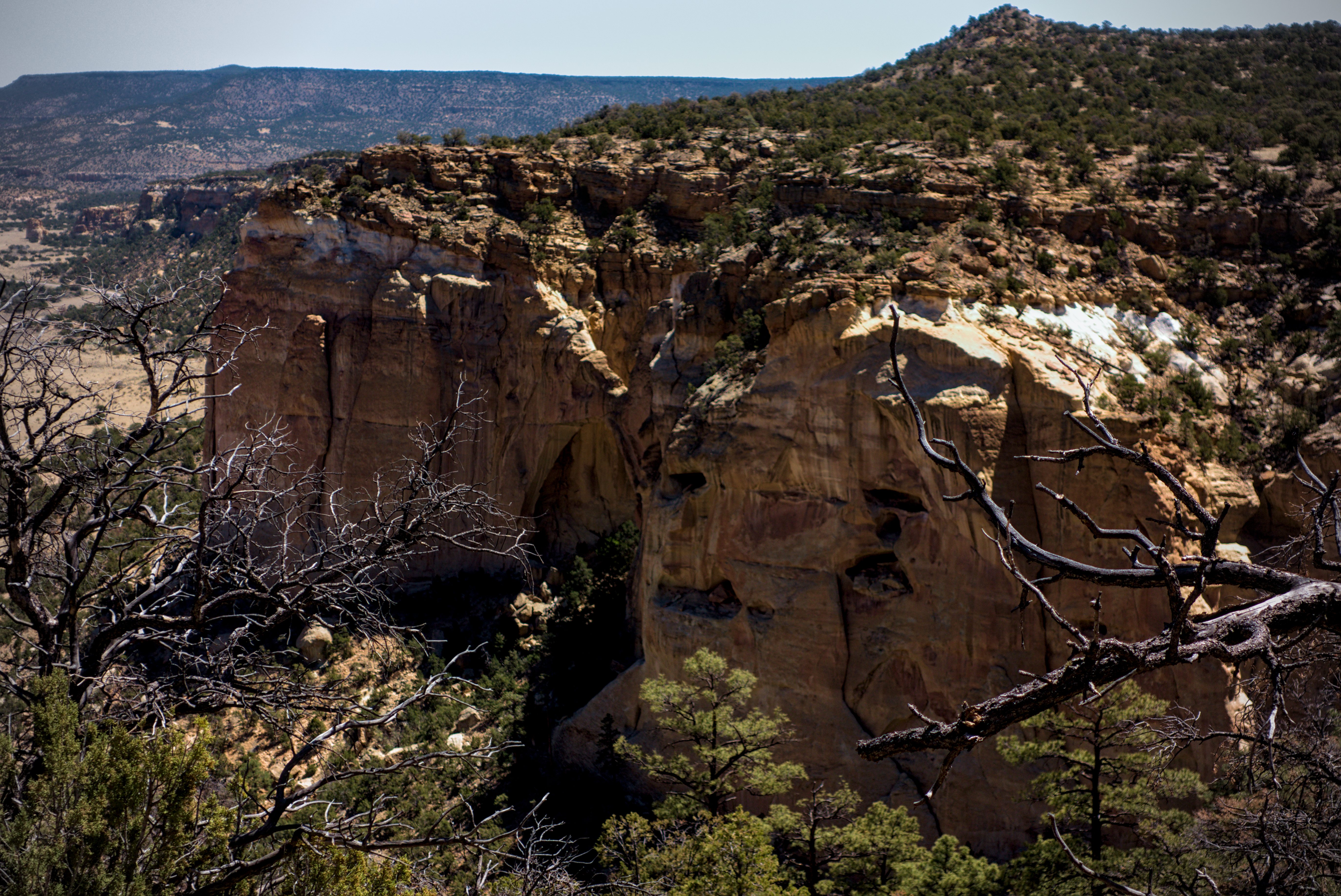
There was an adventure on the menu for the day: going up onto the canyon rim and getting close-up looks of an interesting natural arch. The view was said to be amazing up there. There was also an exciting cross-country traverse to get down from the rim, and we had some beta on it. Back at Doc Campbells Post, the man who gave Lemonhope and I a ride to the Cliff Dwellings had explained the way to me carefully, so I was sure I knew what to do.
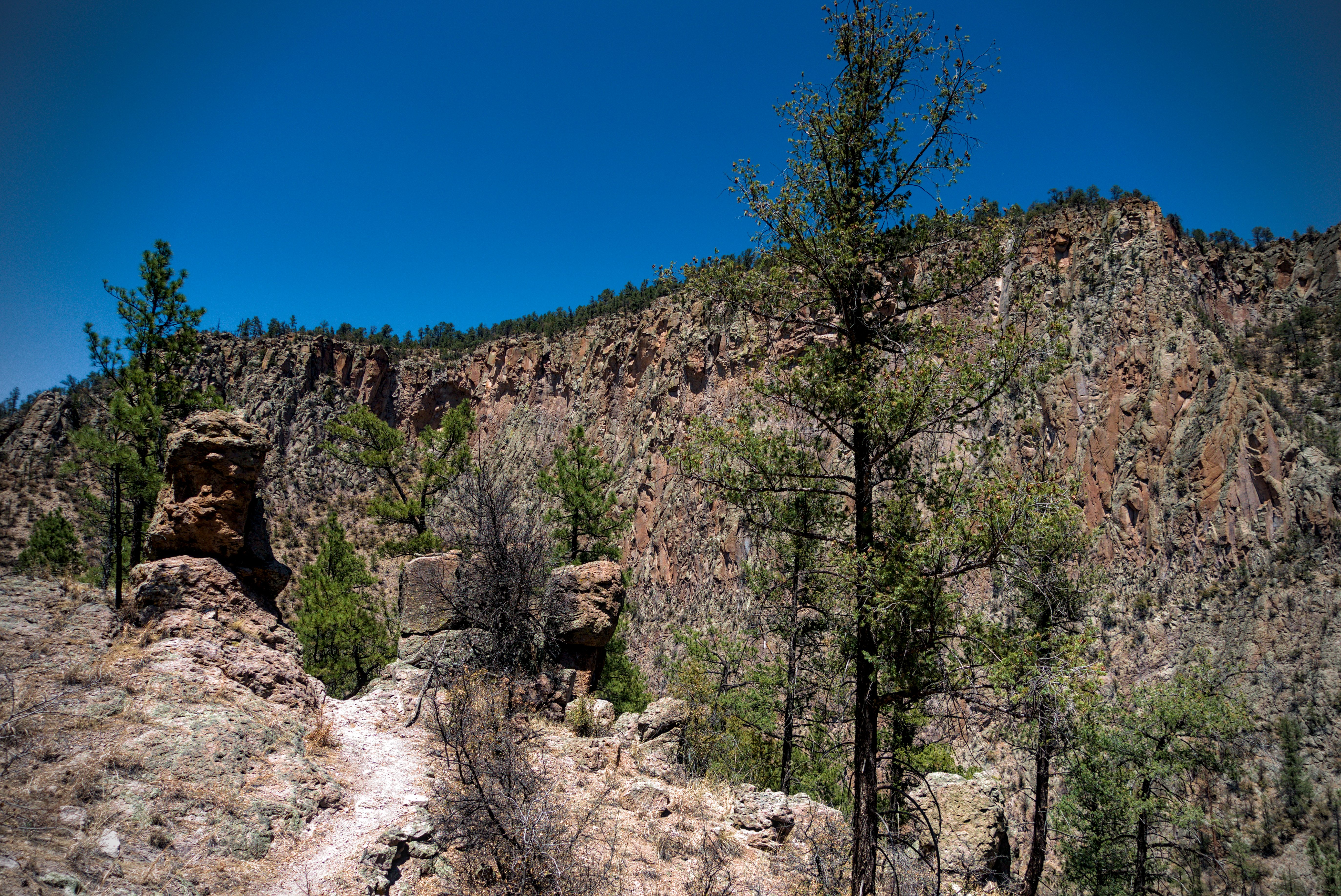
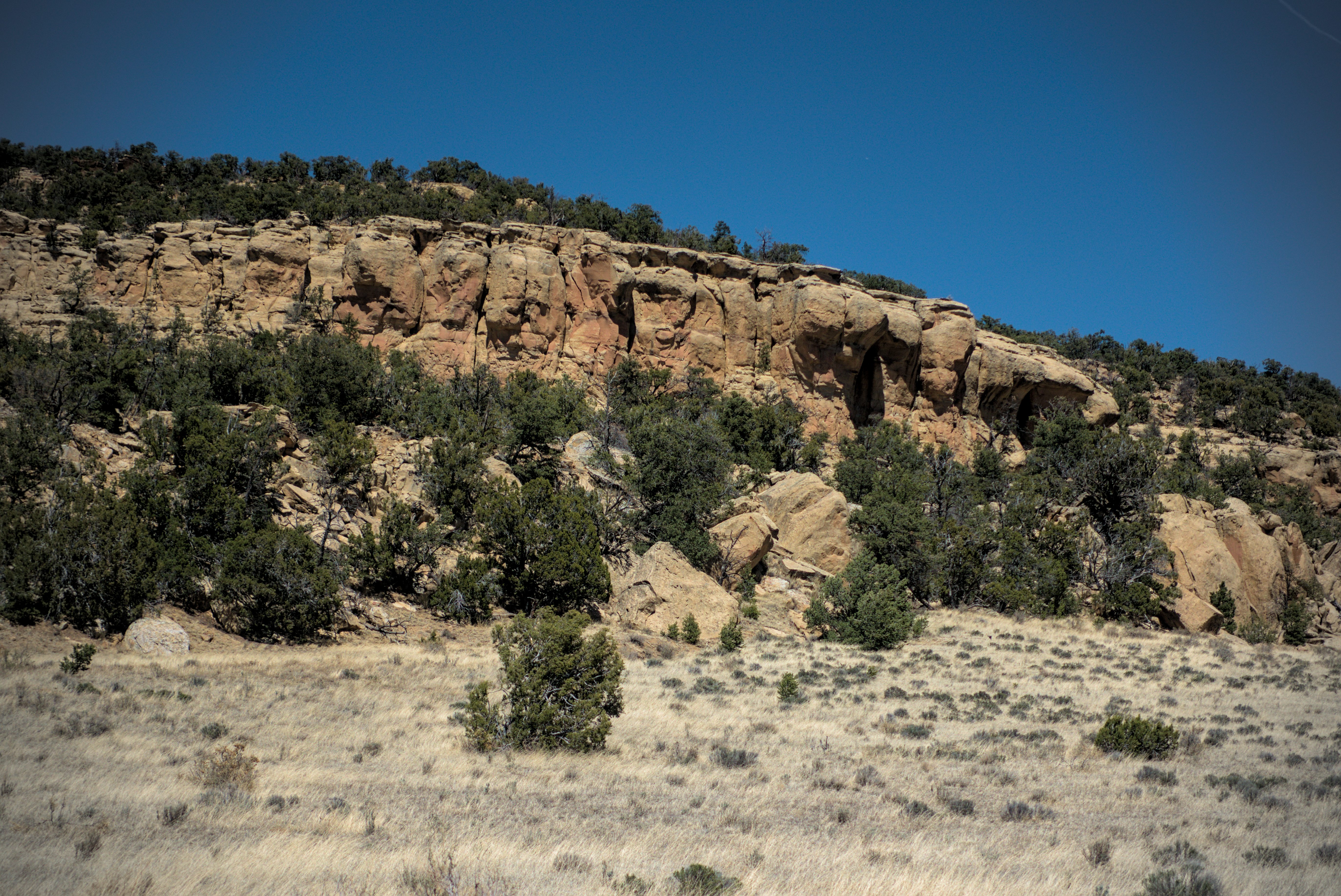
We've climbed up onto the canyon rim of the the Narrows.
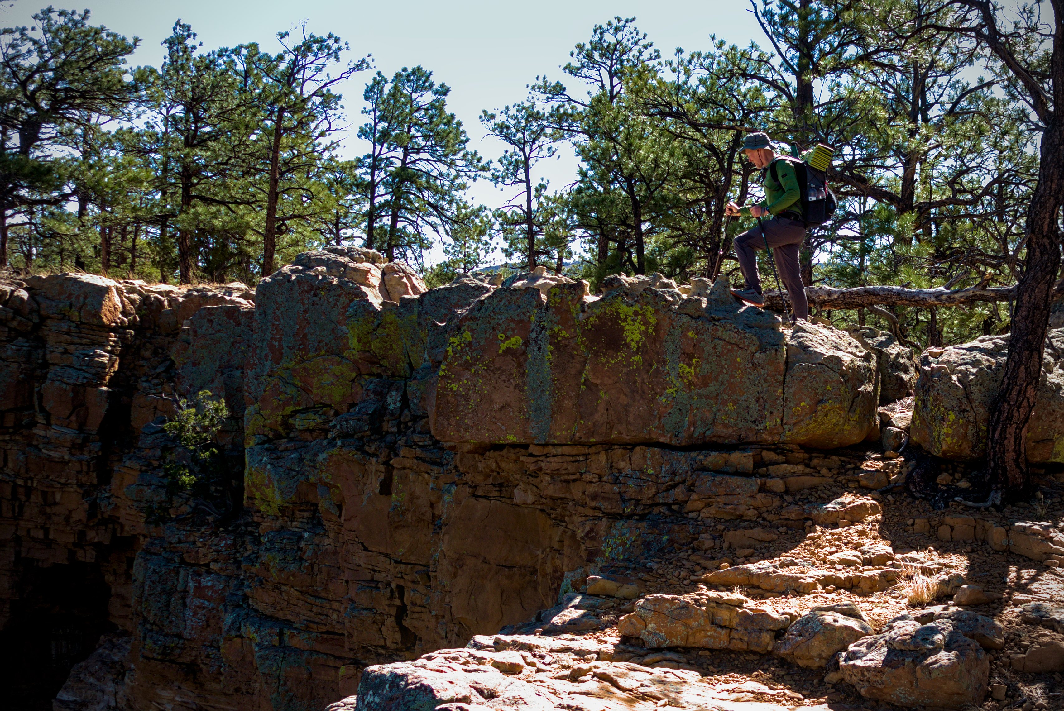
Si Nombre got a picture of me walking on the rim.
The harsh lava flats below were impressive.
This enormous black scar of lava, so visible in satallite photos, was a hiding place where the spanish settlers could hide out from indians...or the other way around. There are caves and all kinds of stuff in here. I'd had my fill of lava fields a month before in the Canary Islands so I gave it a pass. "Seen one, seen 'em all," was my thought :).
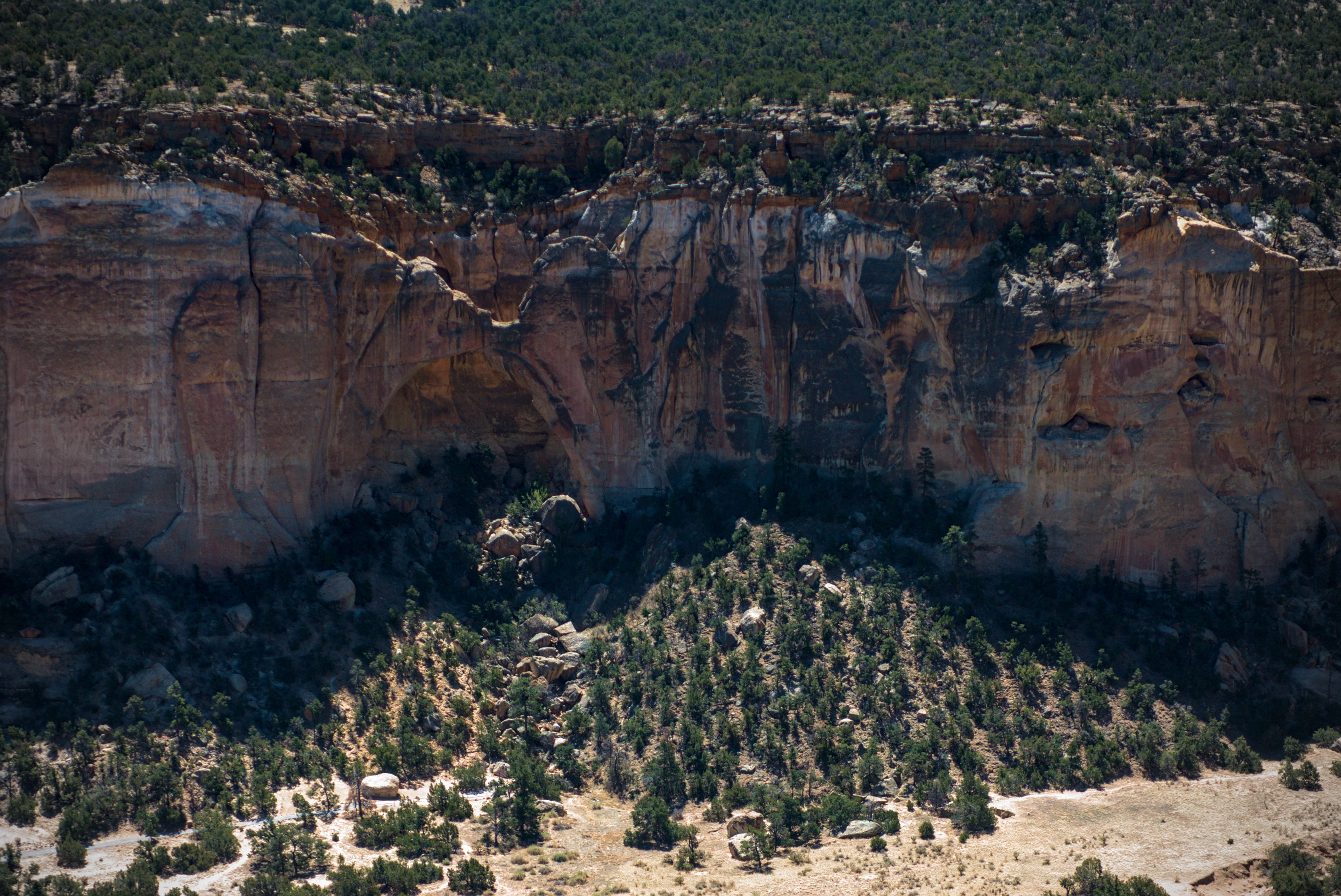
The impressive natural arch.
We reached an overlook, took some pictures and thought we spied a line to get down. Soon we were moving quickly further along the rim and within 20 minutes we were in the area.
Now followed a frustrating 45 minutes of climbing down, up, back and forth, down again. We just couldn't find it. We found ourselves standing on cliffs with vertical drops of 40+ feet below us. Or on highly uncertain scrambling terrain that gave us no reason to think there was any kind of way down. And every option was tried at least twice.
In the heat of the day, with limited water, we needed to call it quits. We decided to travel cross country several miles until the cliffs naturally petered out. So the adventure continued. I would usually set the line to follow, with Si Nombre in front. We dropped into valleys and climbed out the other side, often side-hilling in an attempt to keep moving north.
Si Nombre was faster than me, and could have probably gone on ahead, but it felt weird to separate here way off the trail, so we stuck together. We were relieved to come on a road that led easily down in a valley with "Ruins" marked on the USGS topo map.
We crossed a fence and were back on the road, somewhat relieved, though knowing that all the time up there had been costly. We'd also likely missed a reliable water cache said to be at a pull out beneath the natural arch, but since that was almost two miles back, we decided to forget about it.
Through the rest of the journey, I'd run into people, and no one ever had trouble getting down from that cliff top. It was a very interesting mystery!
Si Nombre on our hunt for the way down from the cliff-top.
Again from another view. We'd been told there was a way down here, but
we just couldn't find it so we had to stay high and travel cross country for
a few hours before we could get down to the road.
Si Nombre and I rested under some schrubs on the road, then he headed off to the west to cross the El Malpais lava field for an interesting "lava" variation to the CDT. I was happy with the road. The next time we'd see each other was in Colorado above Cumbres Pass, but we might have said hello in Chama.
Impressive rock faces of the Little Narrows.
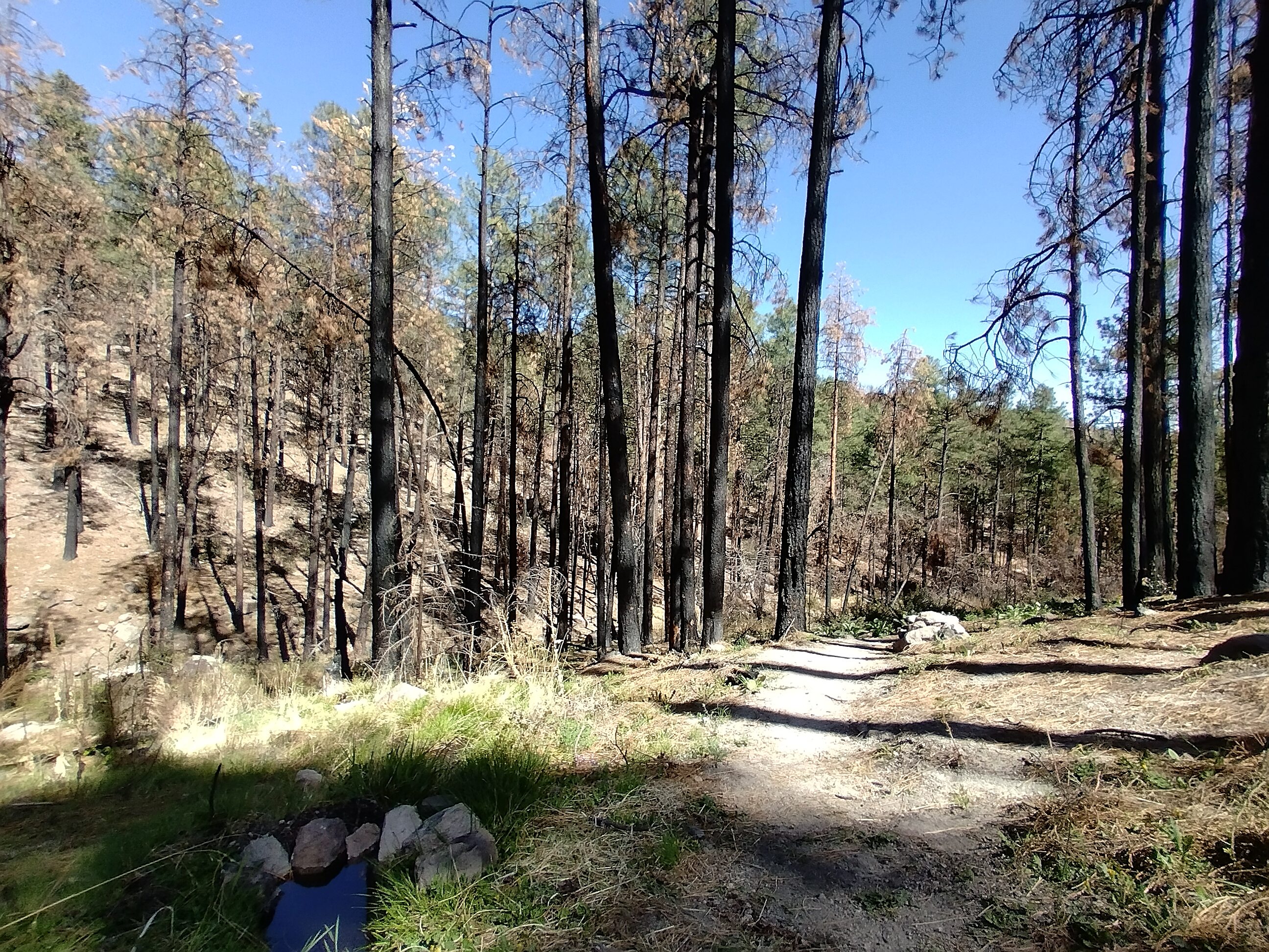
A long road walk to the ranger station for the night.
I walked along the road for 11+ miles. By the time I got to the ranger station I was very tired. The station was closed due to COVID, but there was a water spigot and some shade. Also some park benches. Wonderful! Amazing! It feels so civilized to sit on a table and drink fresh water in the shade with a light breeze, instead of hiding under shrubs, drinking greenish water, and avoiding painful spiny plants.
Patches and Emma came up and we talked about classical music and things like that. I went around to the area of a maintenence shed and unrolled my sleeping bag to sleep under the stars. It was a good night.
May 10, day 20 - 15 miles
15 miles of road walking, what can I say? I got a delicious Subway sandwich
that made the last 6 miles more pleasant.
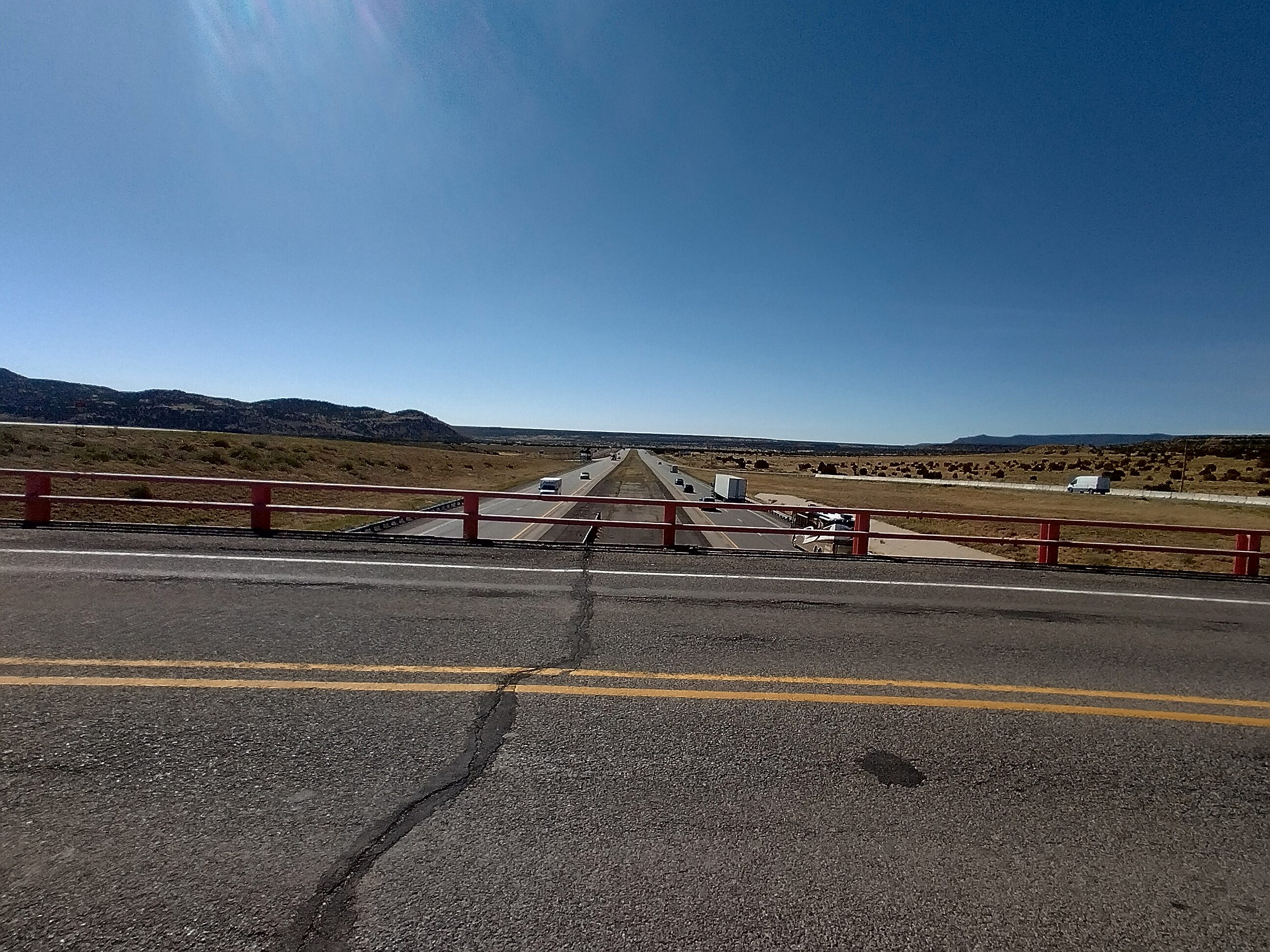
Interstate 90, one of the most important roads in America.
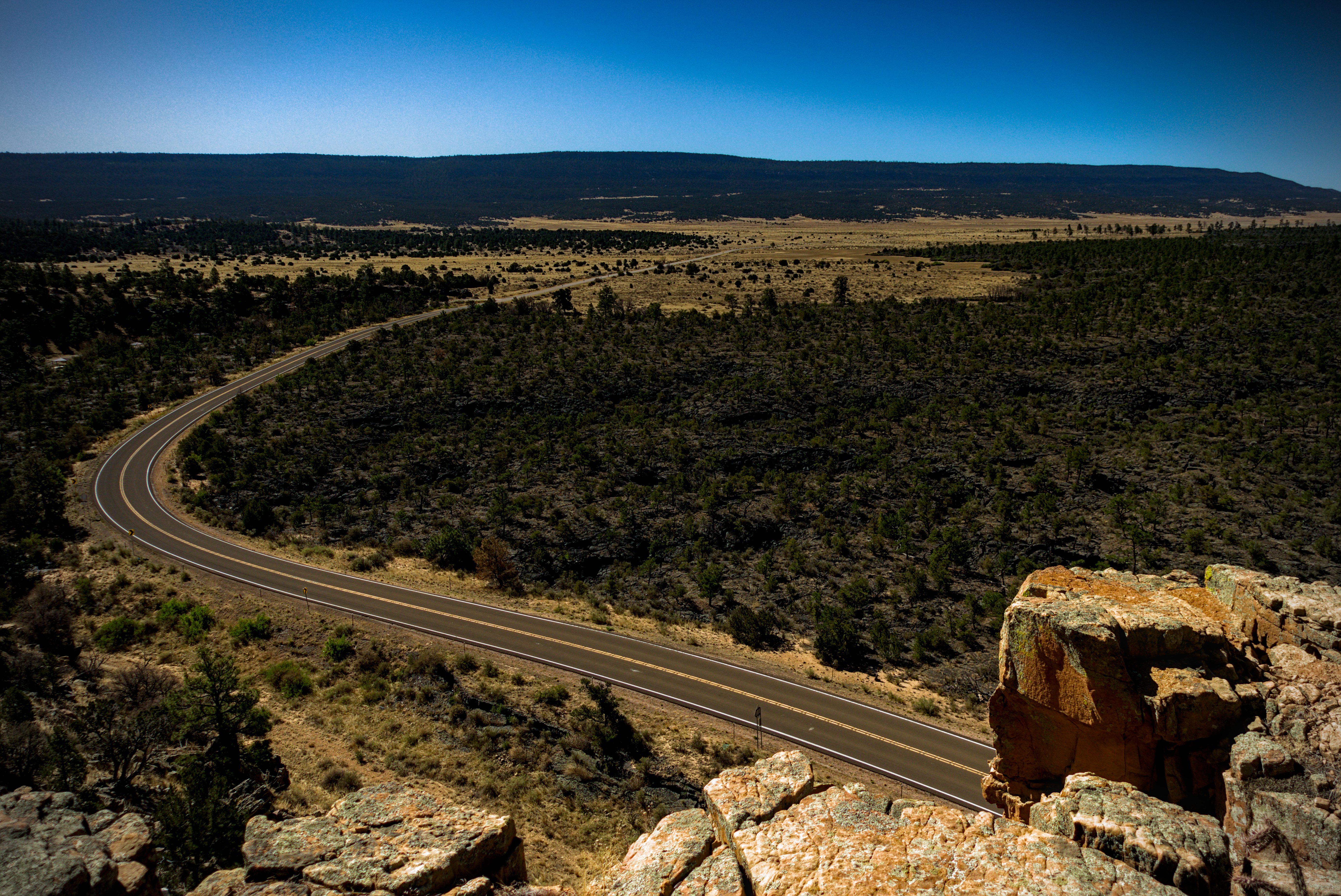
There is not much to say about such a long road walk. The journey is inside. I did have some interesting realizations, and included them on the blog. But mainly I remember blue sky, with black lava on the left and cliffs on the right. The road was a good, paved highway and there were various interactions with cars where they came too close, or were generous and moved over a bit or waved. The cars seemed to become less friendly though, with the improvement in pavement.
Coming to interstate 90, I went into a Subway shop, which, I guess because of the native american culture was deep in spring 2020 era COVID response. A Mask was required to go in. Luckily, they had masks at the door. The native americans who drove up all wore masks alone in their cars. Very strange! But I sat in front and ate my sandwich happily with a couple of hitchhikers with interesting stories. We "road bums" have to stick together!
I set out for another 6 miles to reach town. Here I was getting bored! The cliffs above me on the right were interesting though, because I knew that the first 11,000 foot mountain was behind them, and that was my next major milestone.
I'd already reserved a room and had something shipped there. Maybe new shoes? Strange how quickly I forget these things. I was across from Taco Bell and Walmart...an ideal place for a hiker!
I went in and immediately ordered a take-out pizza and got my clothes in the laundry. Ahh. Shower!
Me with Blueberry and Go Go on the right. Darn it I forgot the name of the
nice fella on my left.
Blueberry and Go Go heard I had a swimming pool and decided to come by for a visit. That was fun! Blueberry explained how to pop a blister safely. It may sound crazy, but I'd never done that. I had a blister on my heel that needed this treatment, because no matter how I taped it, it would fill with liquid. So I'd have to beat my right heel into submission. Blueberry's blister trouble was ongoing, but nothing would stop her, that is for sure.
May 11, day 21 - 0 miles
The next morning I had breakfast with Nico, who'd seen at the Davila Ranch. From the blog, I wrote:
The way I came into Grants was probably not the best. On the "red line," which is the main CDT route, I faced a 15 mile road walk from the ranger station. So it goes! And it's a real highway, which, oddly, means that it hurts the feet more, and the people in cars are less friendly. The people who travel the dirt roads are not so prosperous...they don't look down on sweaty hikers. They almost always wave back, sometimes stop...sometimes give us water or a soft drink, and always are interested in where we are from. But on upgraded roads the travelers are not the same. They lean back in their seats, and regard people on the roads as annoyances. I've seen lips purse visibly at the sight of my friendly wave.
I can't help but draw lessons from this kind of thing. Prosperity separates people from each other. Too many toys creates desire for more toys, and more and more, we see only the toys and not the people who might make them. I ate breakfast in Grants this morning with Nico and we laughed about this. "The people in beat up pickups are worried about their families, and the people in BMWs are worried about why their Spotify playlist isn't saving correctly," we joked.
And here I'll just continue quoting from the blog entry, because I think I told pretty well the events of the interesting day...
Getting around in Grants is odd. There is no uber or taxi. However there is a really cool nearly free shuttle service called the Rockin 66 Express. You call and schedule a pickup and possibly a trip back home. I used it twice to get to the post office, which saved me at least 2 hours of walking, which I don't want to do right now! Both days, David picked me up and I learned his story. He's a member of the Yaqui tribe, and a fairly recent arrival in Grants. He and his wife lived in California, and moved here after their car broke down in town, and he made use of the Rockin 66 to get around. He was already a bus driver, and was offered a job here. Perfect!
We had to stop at the battered woman's shelter, a nice-enough building surrounded by heavy gates and barbed-wire. David said that a mother and her son were there. He gave them some rides over a few days, and the boy didn't want to leave the bus and go back to the building. That made sense to me because David is a kind of "home" of a man who projects safety and kindness. Well, this got to him. He spoke to the pastor of his church, and as it turns out, she was able to take the mother and the boy in to her home.
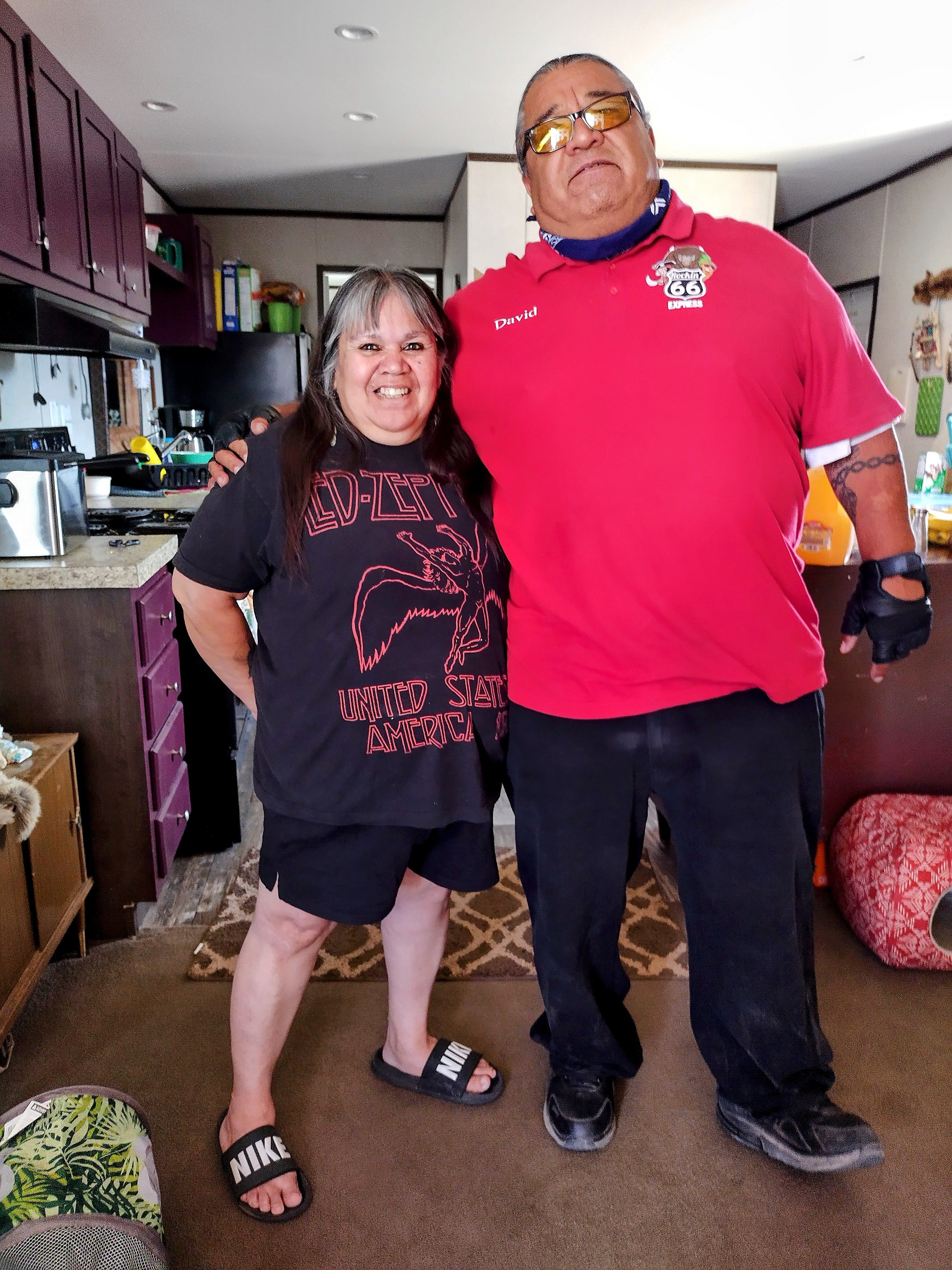
A wonderful couple.
What an honor to be invited to his home.
She eventually moved away, and by some magic the pair were able to stay in that home, and since became members of the community...the mom got a job and the boy went to school.
Um...this is something I'm seeing more and more. People, like David, who speak about the glory of God and their thankfulness, are often worried about others. Often looking out for ways to help. You see...they've felt lifted up when they ALSO felt undeserving of being lifted up...and my goodness...when that happens: your idea of what the world is never recovers its old, dismal stability with you at the helm.
So their eyes become attuned to the course of the "undeserving" drifting through town like tumbleweeds. They ask themselves "where is she sleeping?" Or "How many days since that kid sat at a dinner table?"
THIS becomes their "Spotify playlist." At their best, they become a part of the network of sunlight, fresh air and soil nutrients that even in this high desert allow trees to grow. It makes me wonder about the inner life of sunlight. For if a tiny piece of that energy so alters the flow of a human life, what is the feeling inside the purest form of that giving light?
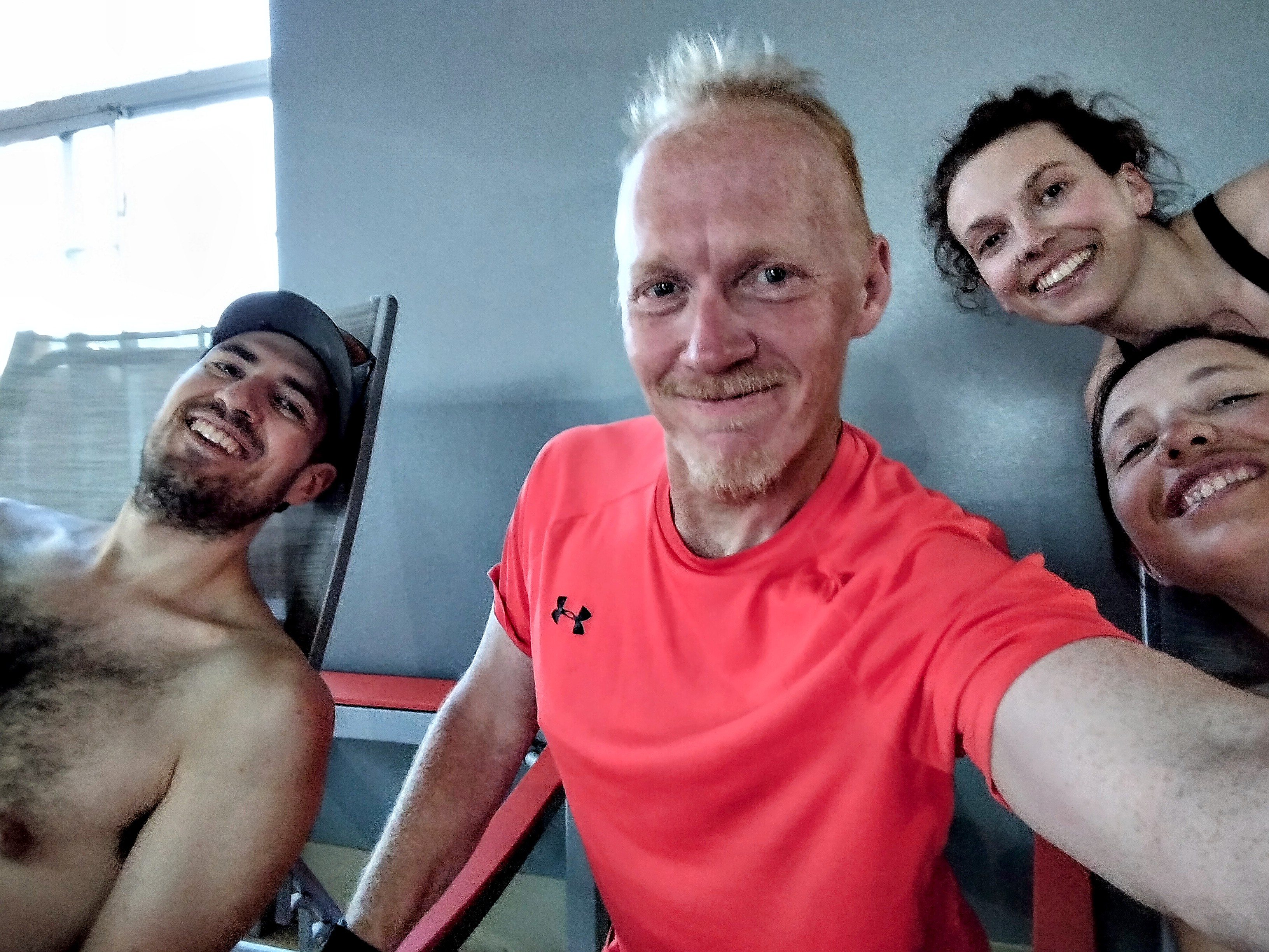
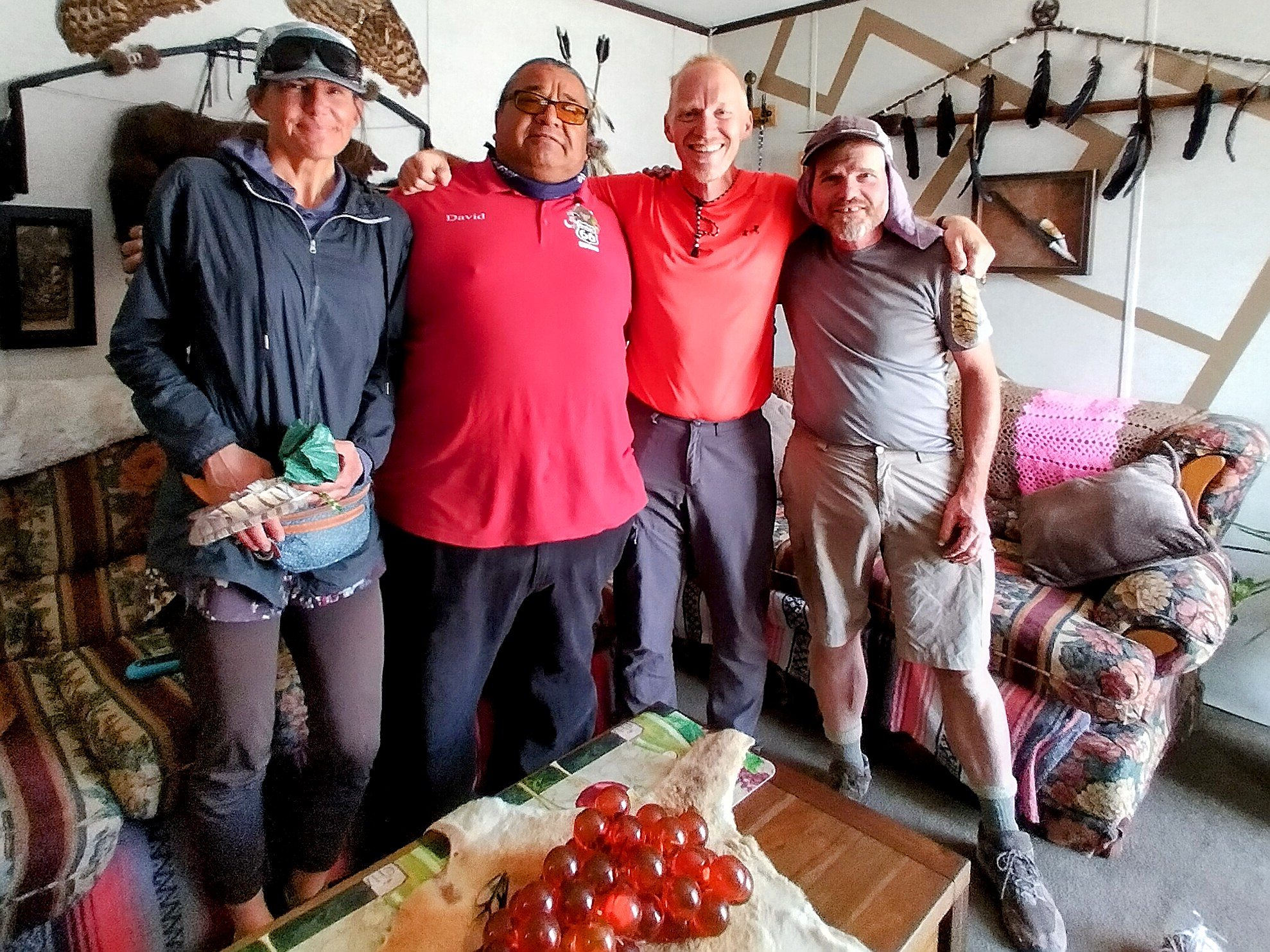
Anyhow, today Kathrin, Mountain Goat and I were again in the shuttle with David, and as he took us back over to near the Walmart, he said that he needed to give us something. Stopping at his house, he invited us quickly inside. We met his wonderful wife and admired the many bird feathers and other symbols on the walls. He related that his band fought with Pancho Villa against the Americans, hoping to regain their land. Later, Villa began selling land to Americans for money, so the Yaqui broke with him, at least in part. This "breaking" divides families of the tribe to this day. David chose his bride 44 years ago, enduring rancor because she was from a family on the other side of that fight.
In this way, they became a living symbol of what they want to do with their life. He gave us his business card, which names him as "Personal Fence Builder." When I read that I hear "mender." That is...borders are real. But they don't have to divide us. They could be our connectors as well. And I think that's what he means.
David gave us owl feathers, beautifully embedded in jewelry of green and turquoise. It was a blessing.
So I slept feeling refreshed and fulfilled. Ready to start before dawn for the climb of Mount Taylor!
To go on to days 22 and after, click here.