CDT - Grants to the Ghost Ranch
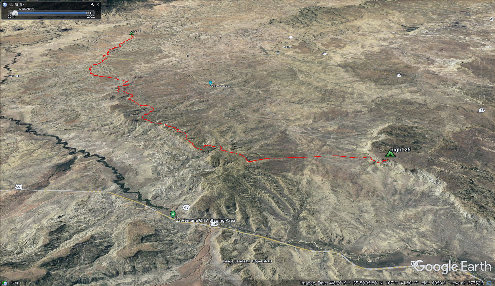
Friends: Info, LemonhopeLocation: CDT Grants, CDT Mount Taylor, CDT Camp 22, CDT Camp 23, CDT Camp 24, CDT Camp 25, CDT Cuba, CDT Camp 26, CDT Camp 27, CDT Camp 28, Ghost Ranch
Elevation gain: 5838m = 1709m + 300m + 464m + 1049m + 308m + 1256m + 510m + 242m
To go back to days 21 and before, click here.
This section had 1 food resupply in Cuba, all sleeping on the ground.
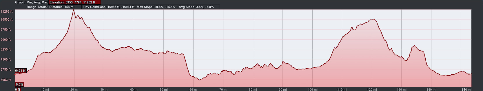
154 miles and 16987 feet elevation gain from the big city of Grants to the
hipster outpost of the Ghost Ranch.
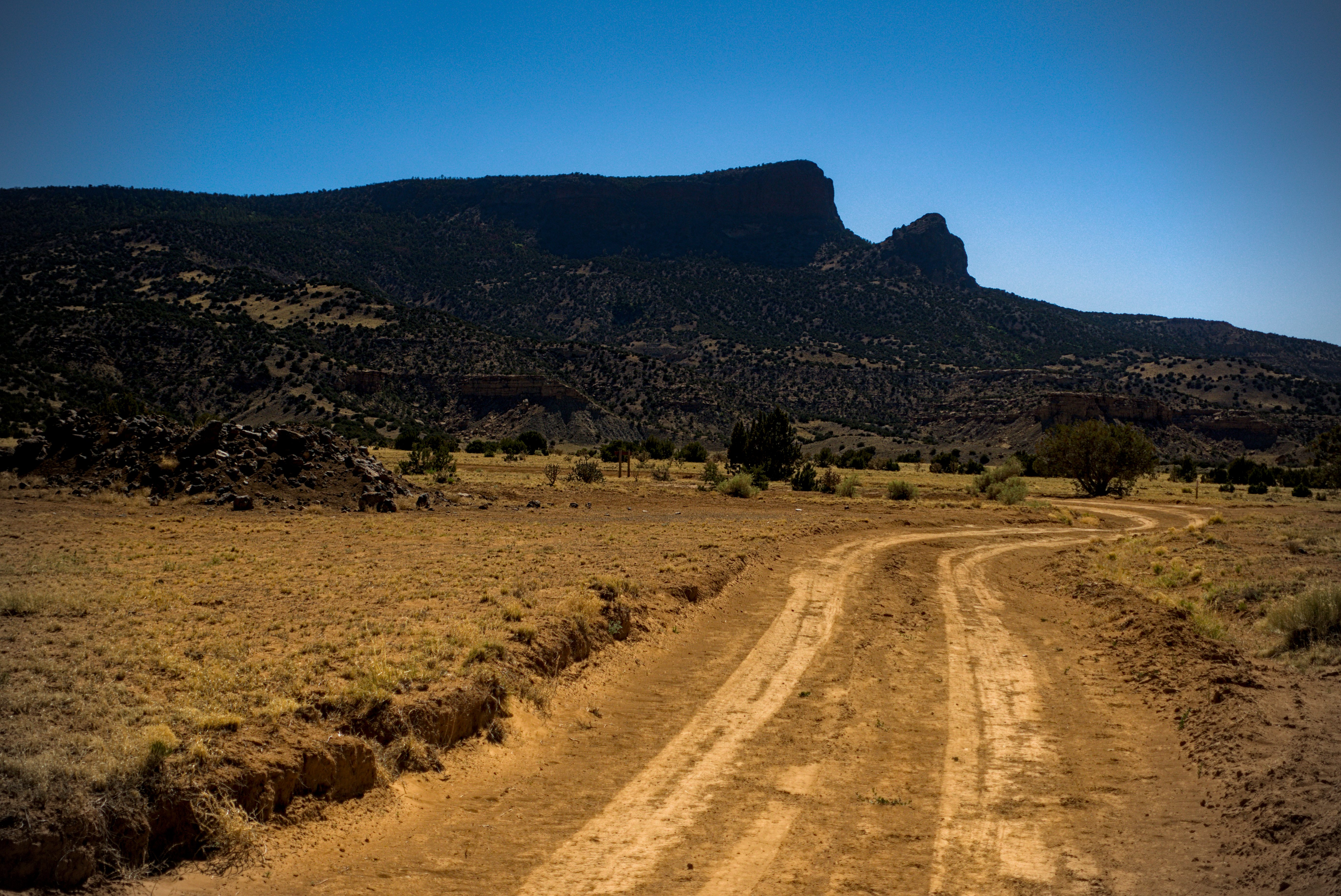
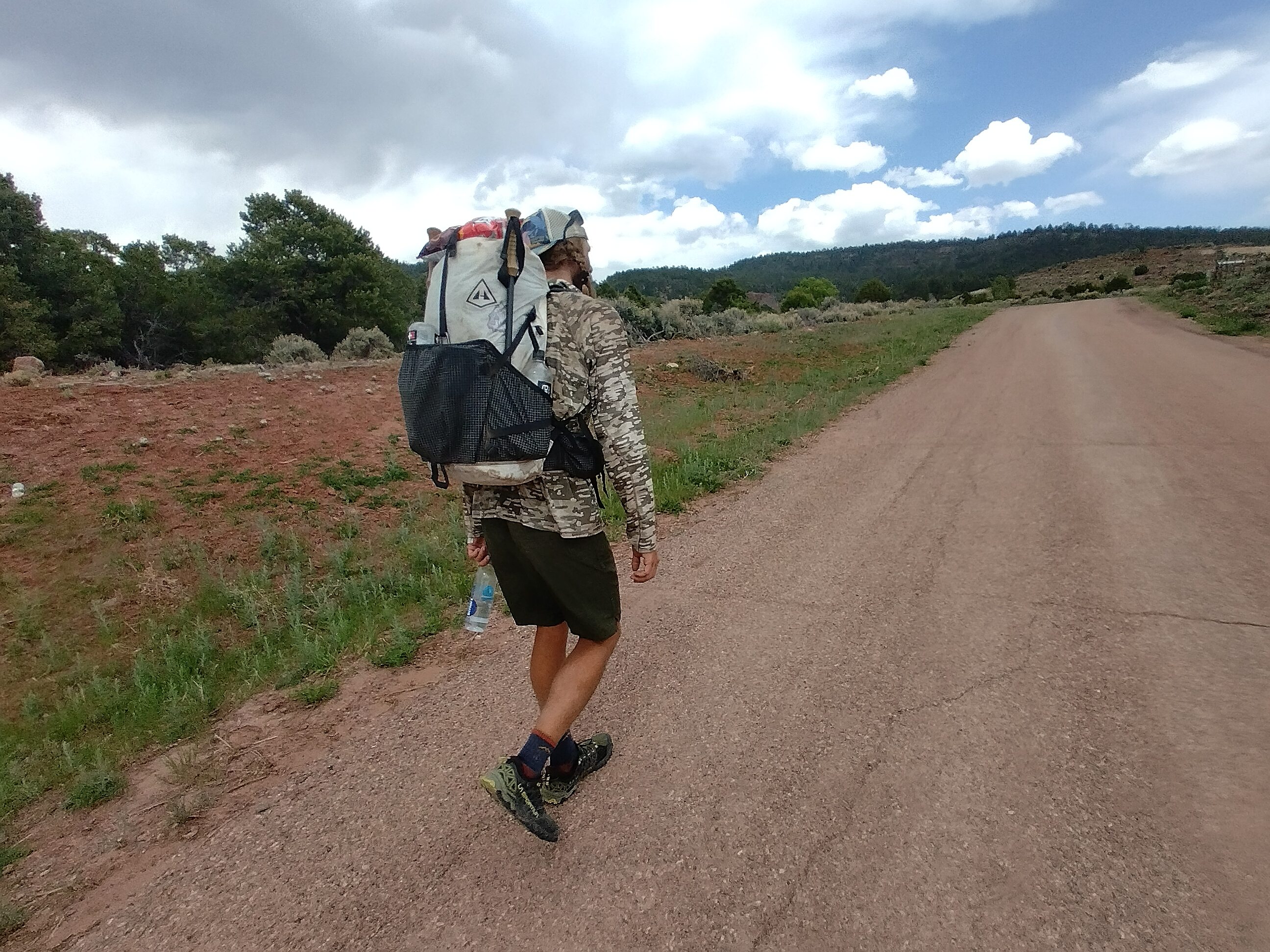
May 12, day 22 - 24.3 miles
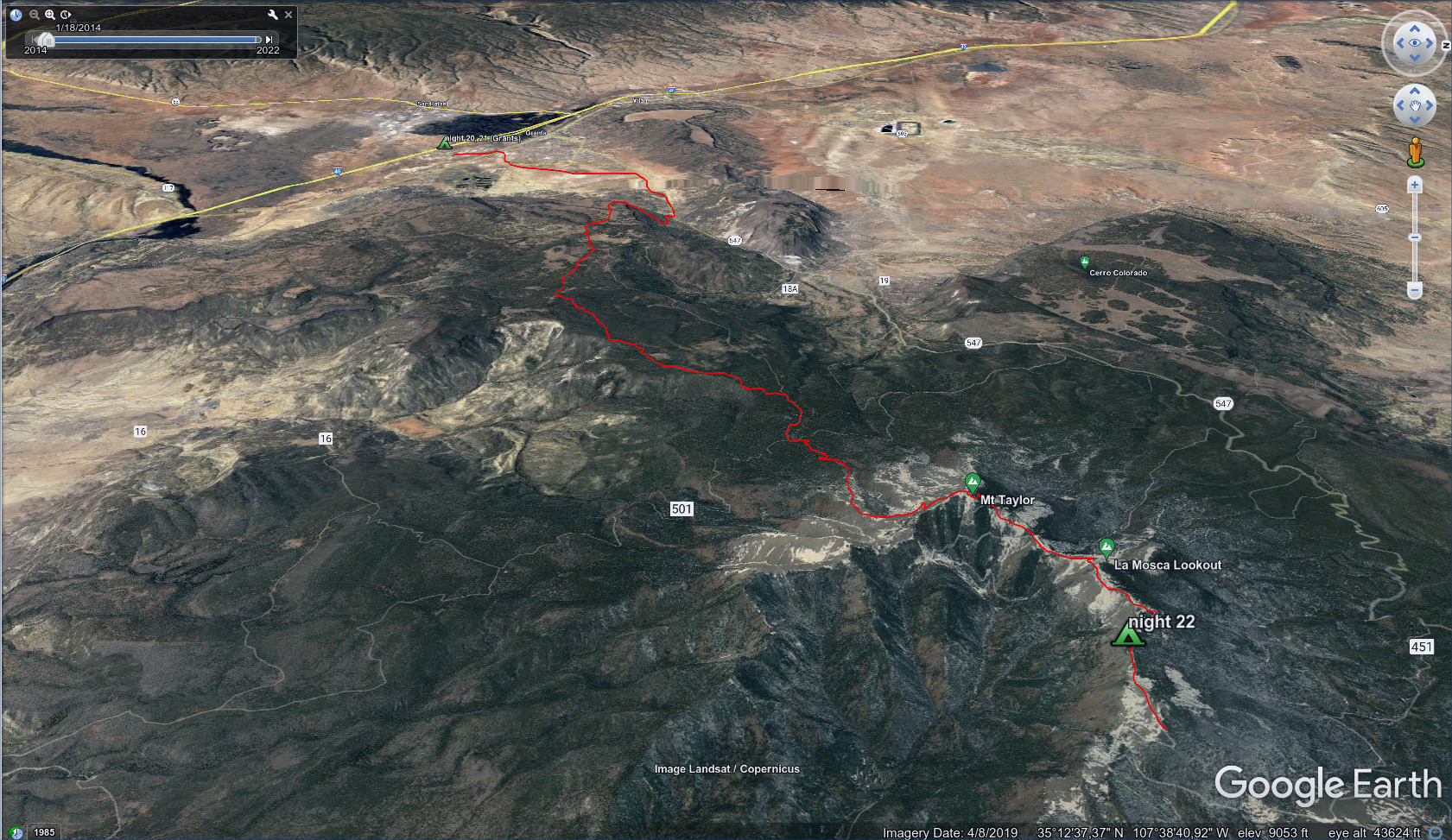
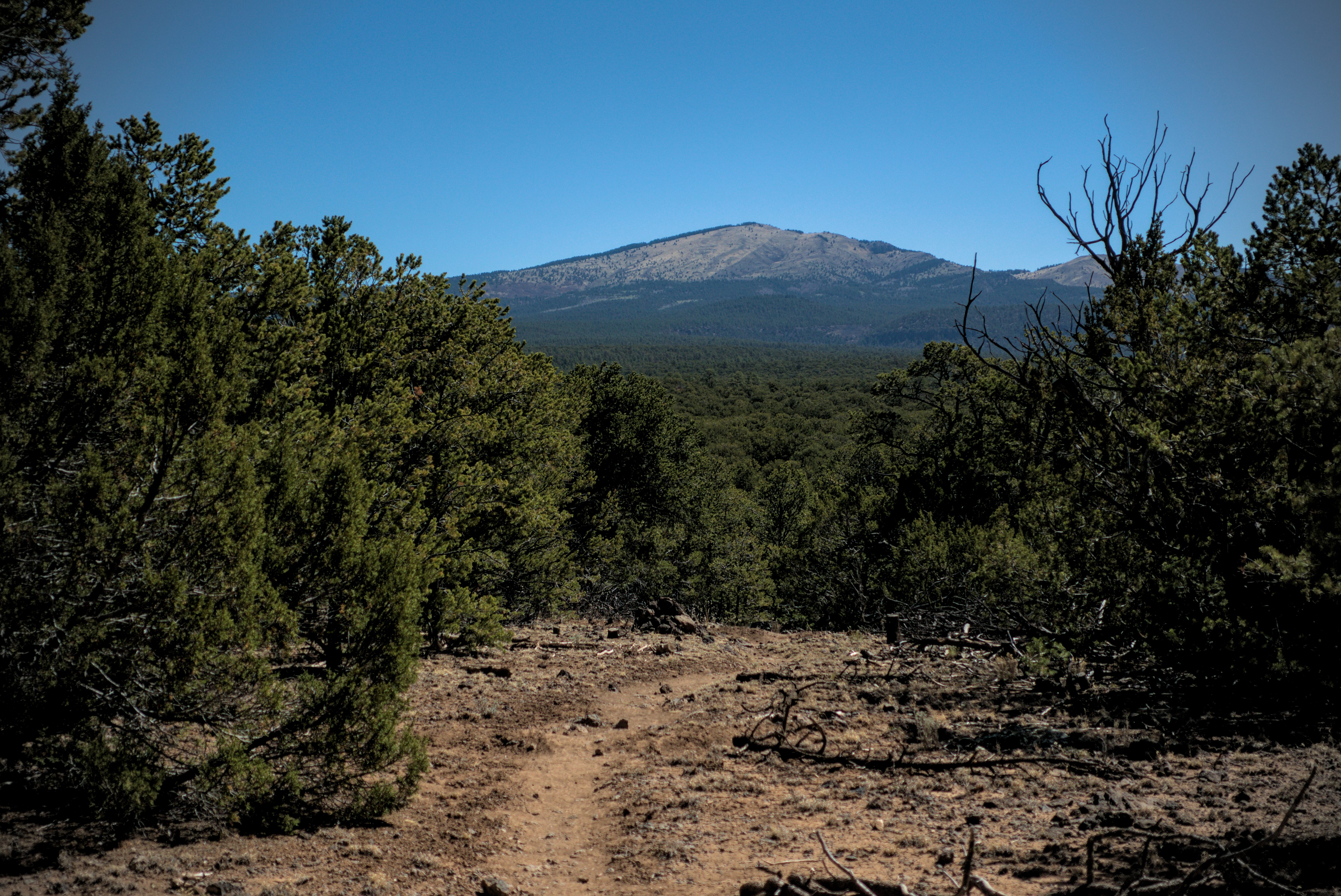
Finally, after 22 days, real high mountain country!
Eager for Mount Taylor, I started walking before dawn. I bypassed downtown on side streets, and ended up on a highway beside a prison. A sign warned not to pick up hitch-hikers here!
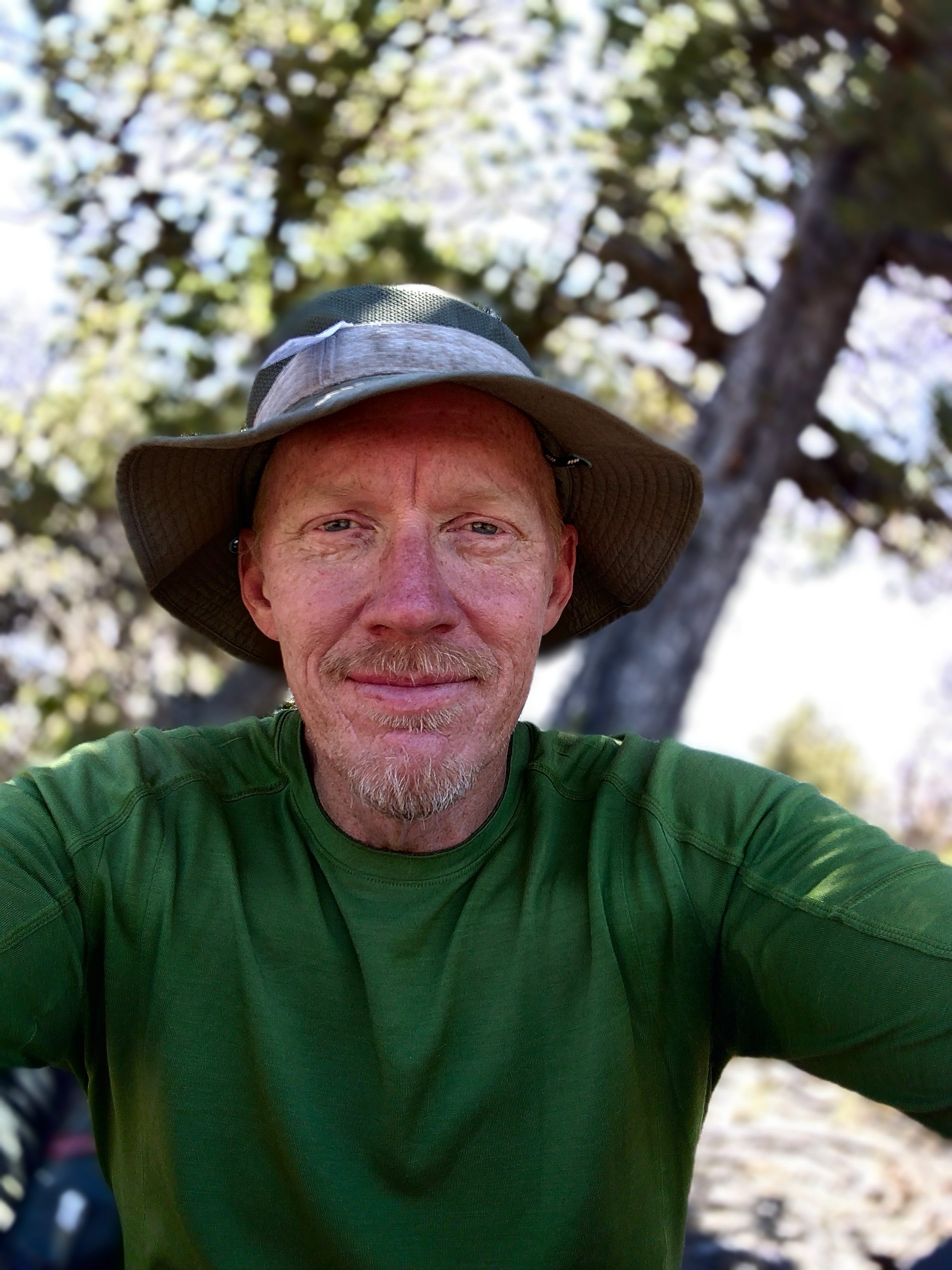
Eventually I reached a trailhead and found some water. A car drove up and dropped off an interesting young man, called Info. He said he had slept in every time zone in the USA in the last week, because of the demands of a wedding and an unfortunate dental disaster that required surgery. He'd planned to start the trail at the Mexican border weeks before, but the hospital and the wedding took precedence. He is a cook from Seattle.
I started off uphill, but he soon passed me.
Early in the morning, leaving the big city for Mount Taylor.
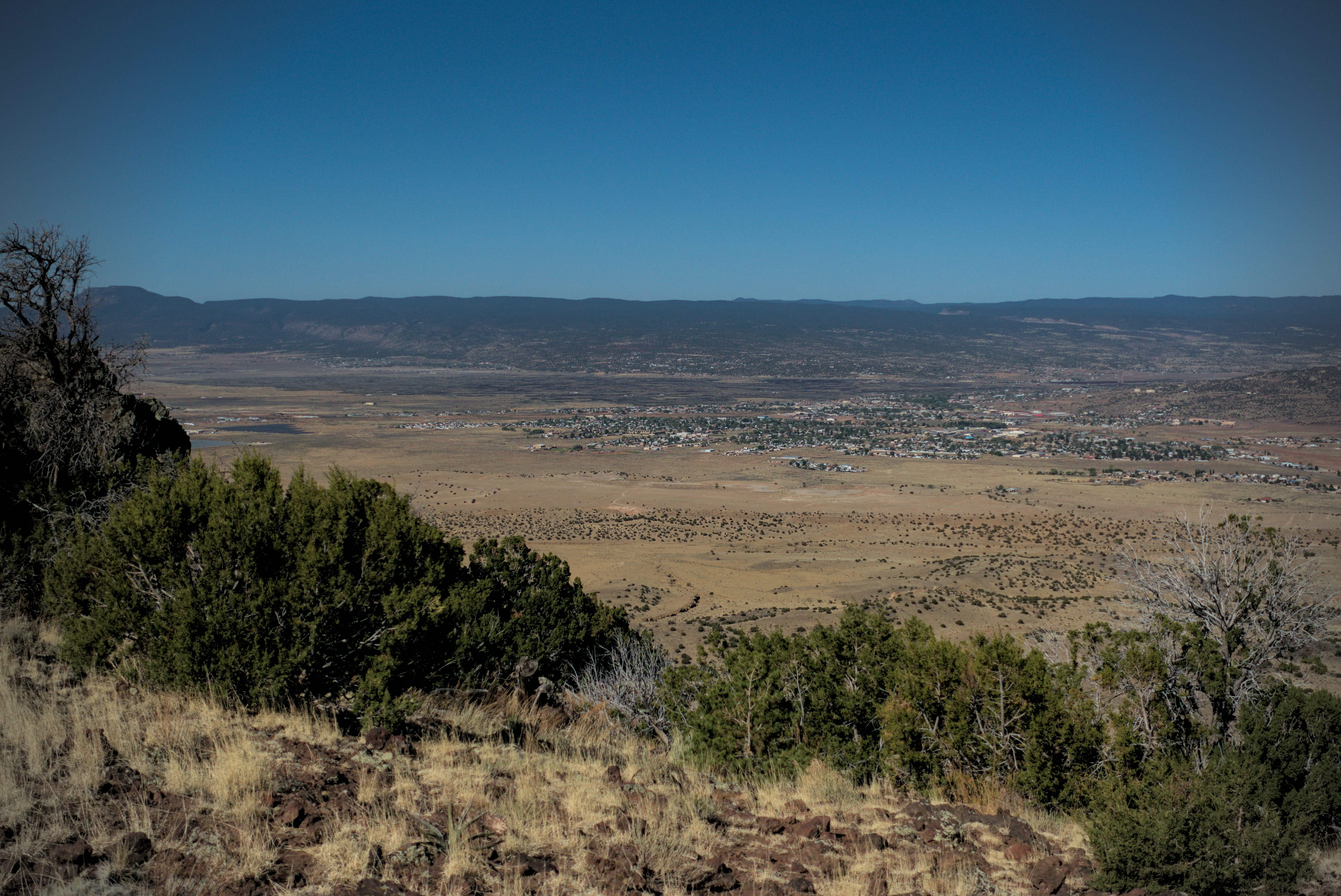
Looking down on the thriving little town.
Mount Taylor looks incredibly far away.
Later, I sat beside him and struck up what turned out to be a deep conversation. What was our initial topic? I think it had something to do with the Alien films? Oh wait, I remember...it was the interesting use of religion in the story Dune. I said that I liked this...that it was an unusual twist and a rich idea to put spirituality above technology in a science-fiction book.
With that we were off and running, and enjoyed ourselves greatly.
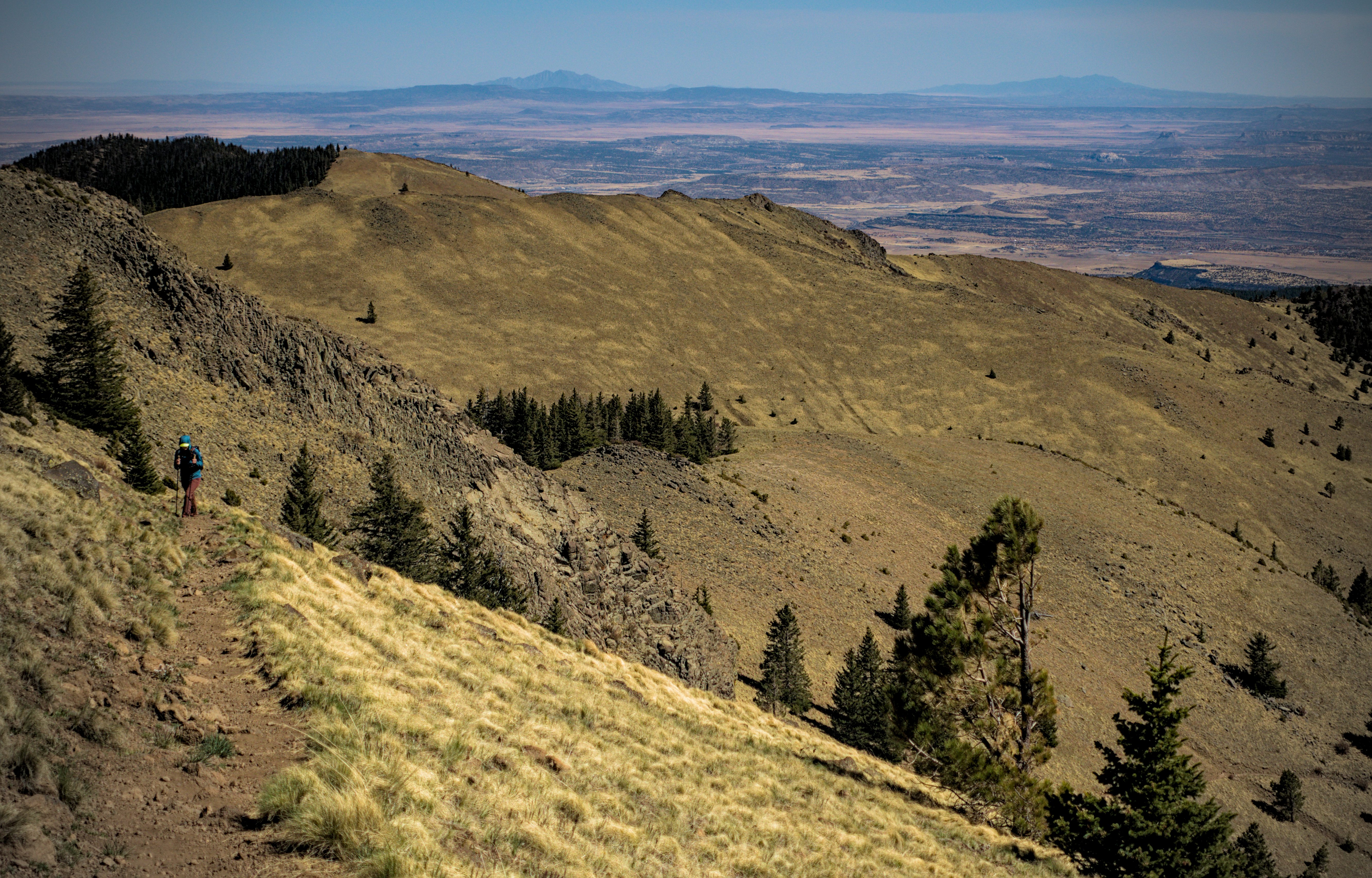
Near the summit, looking to the southeast.
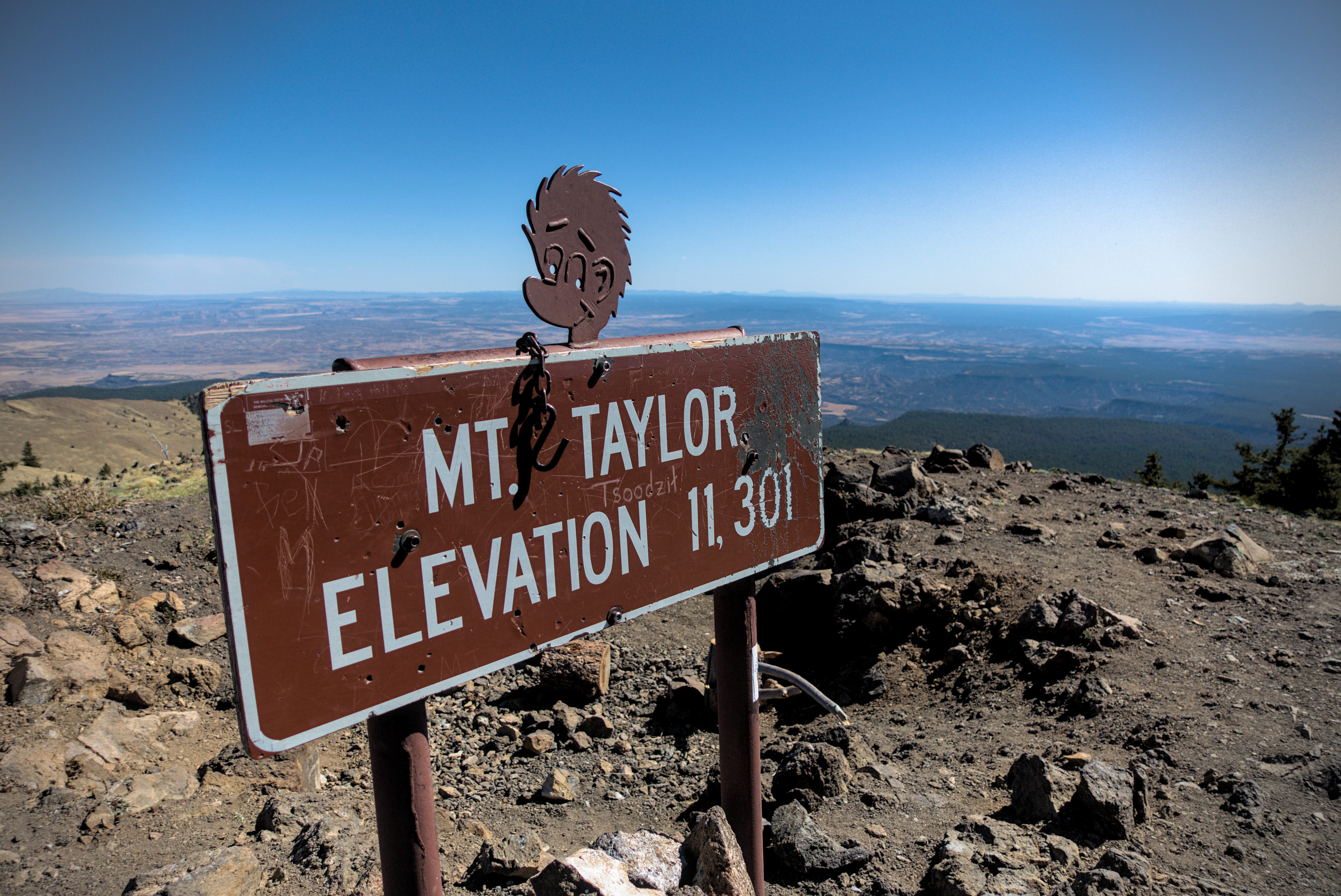
On top. The native name is Tsoodazit.
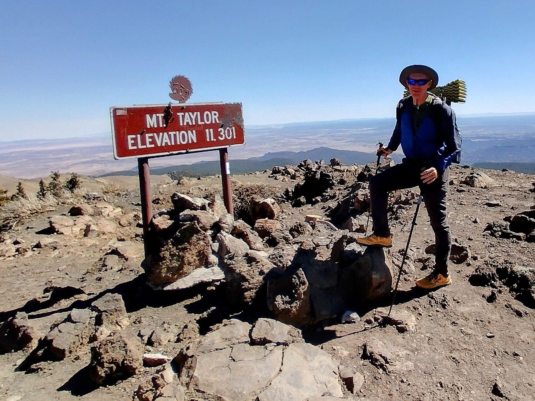
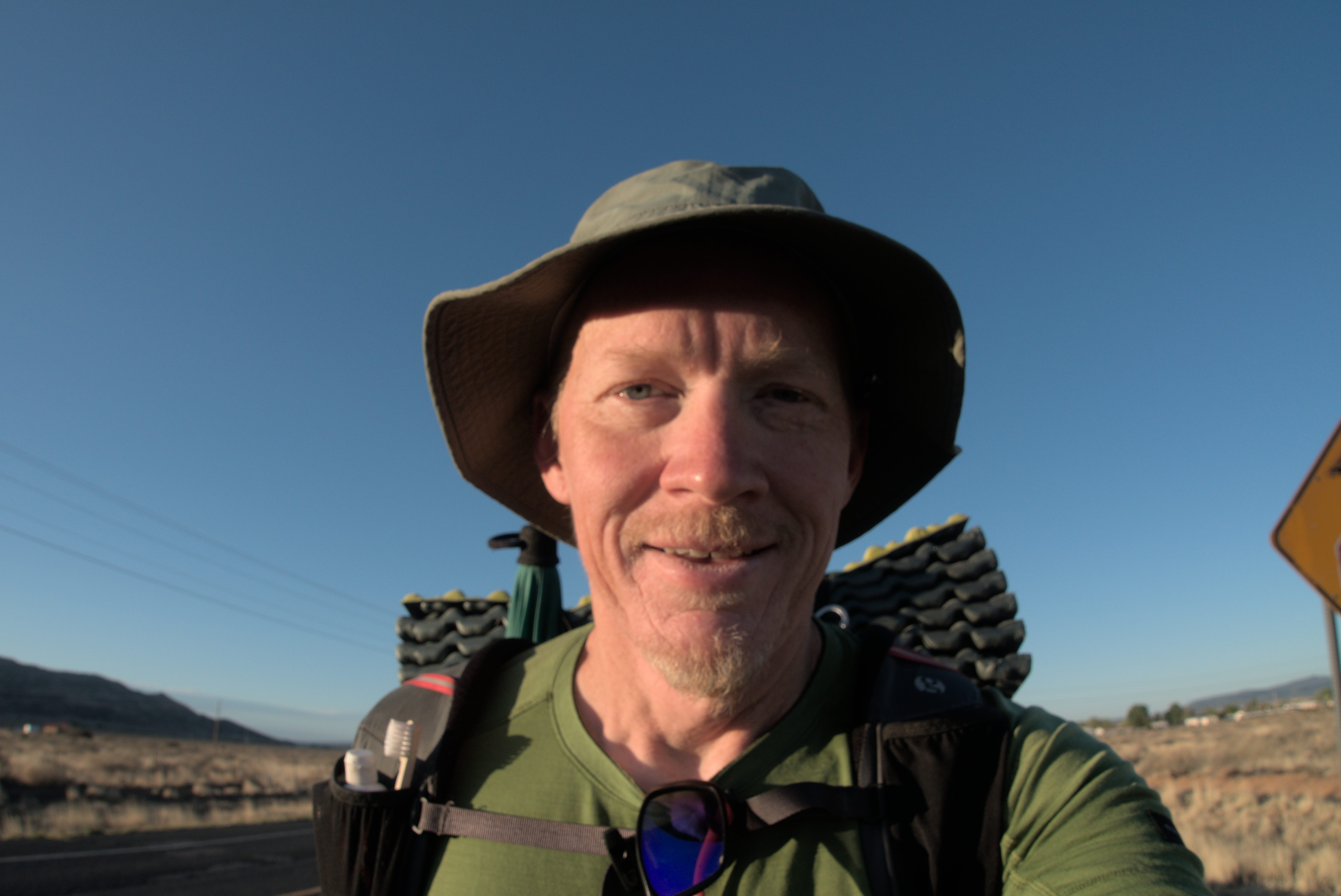
Info got this picture of me on Mount Taylor.
On the summit we talked with a day hiker, the first ever seen on these New Mexico trails! It was windy and a bit cold up here. We turned excitedly to the north. Soon we were walking with a guy named Uphill. Over the next day or so, I saw him, but soon was passed by. He's tall, fast, and indeed, you only see the back of him on uphills!
Later, he got a stress fracture in his foot and had to leave the trail. But he became a trail angel, and was a real help to Slim and Low Branch north of the San Juans in Colorado. I'm sure he'll be back next year.
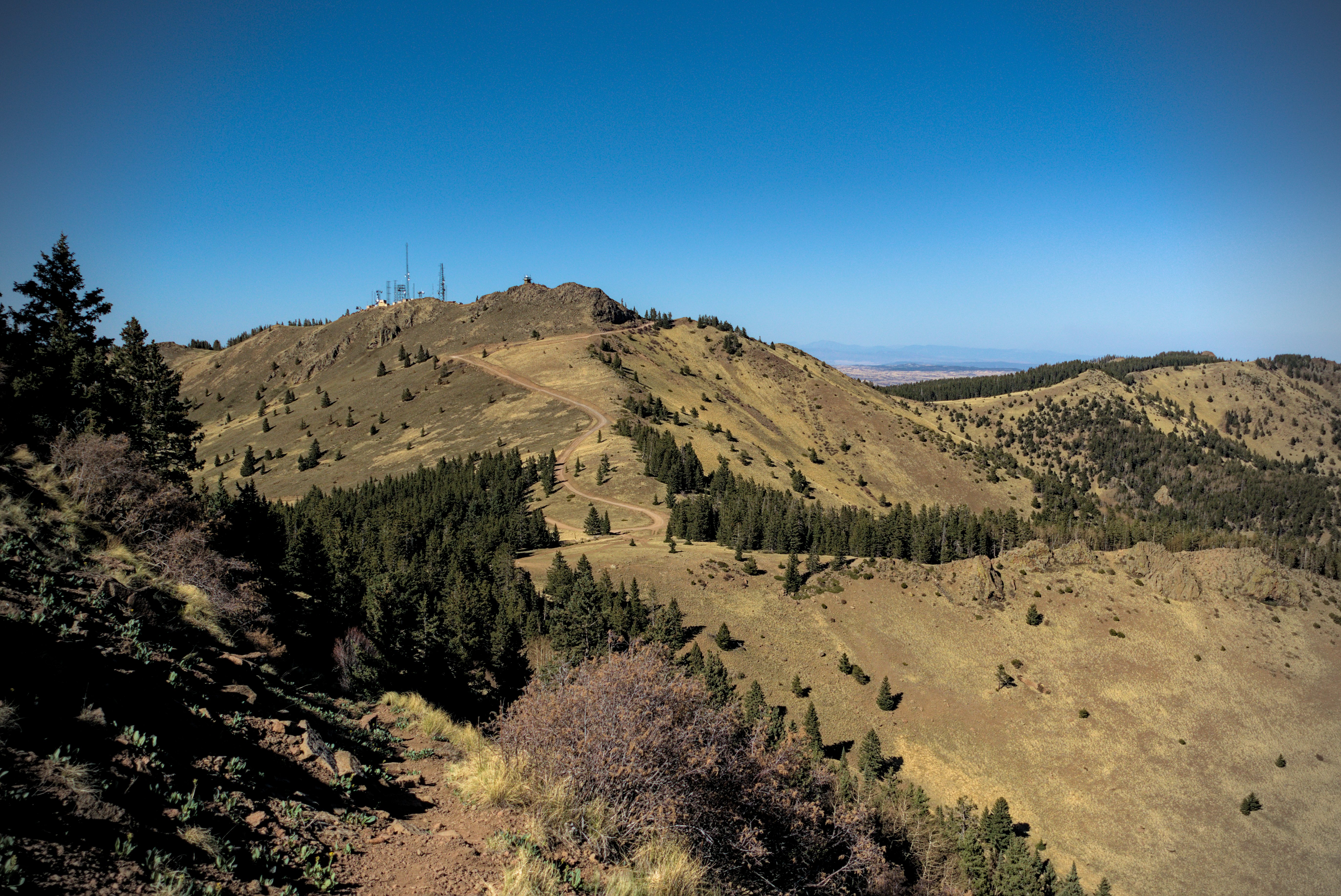
Behind Mount Taylor lies a peak covered in radio towers.
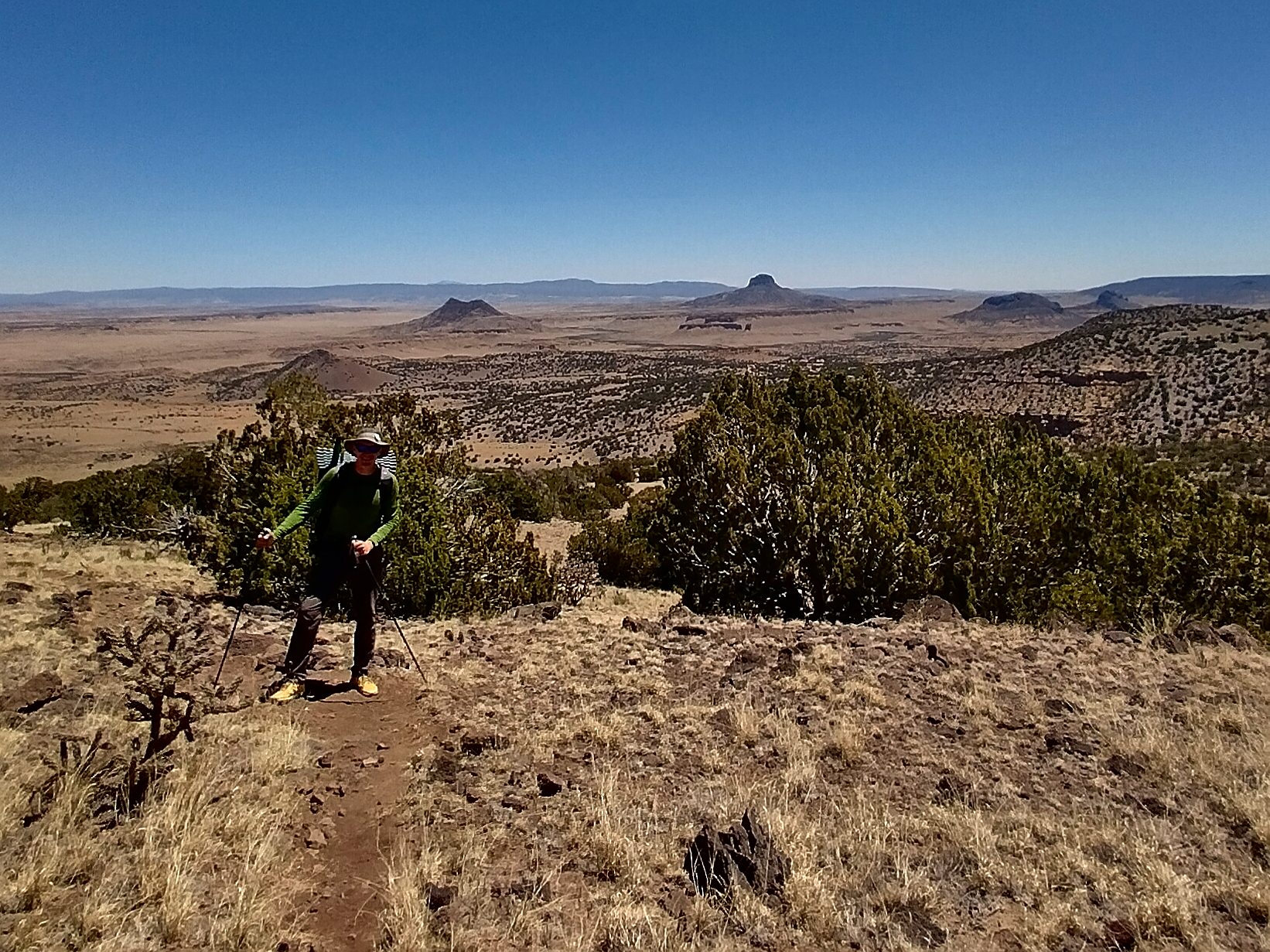
Info marches to camp.
My view north for the next days.
Eating dinner in the high country.
Info and I set up camp in some trees with a great view looking east. We tried to get shelter from the cold wind, but couldn't do too much. Here I started thinking about exchanging the tarp for a tent for the first time! I simply wanted unidirectional wind protection, because even a little bit of wind coming into your sleeping space steals energy. I slept with the umbrella expanded and tied down with a rock, and my pack trying to block the other side of the tarp. Didn't work so well, but I eventually got some sleep.
May 13, day 23 - 25.7 miles
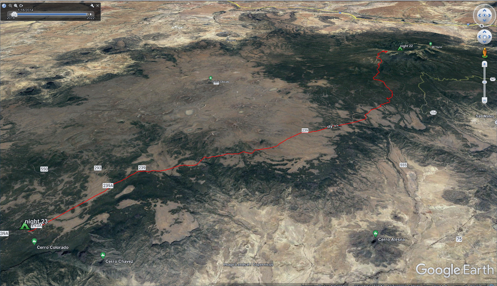
A long, long day across fairly flat high divide country.
Info and I got some water after a few miles, then headed north. Tall Son walked by and said he saw a bear scratching himself on a tree right where we had camped. The bear saw him, "freaked out" and ran away.
At some point, Info and I separated, and I walked for many hours alone. We found each other again in the afternoon, getting water from a tank a bit off the trail.
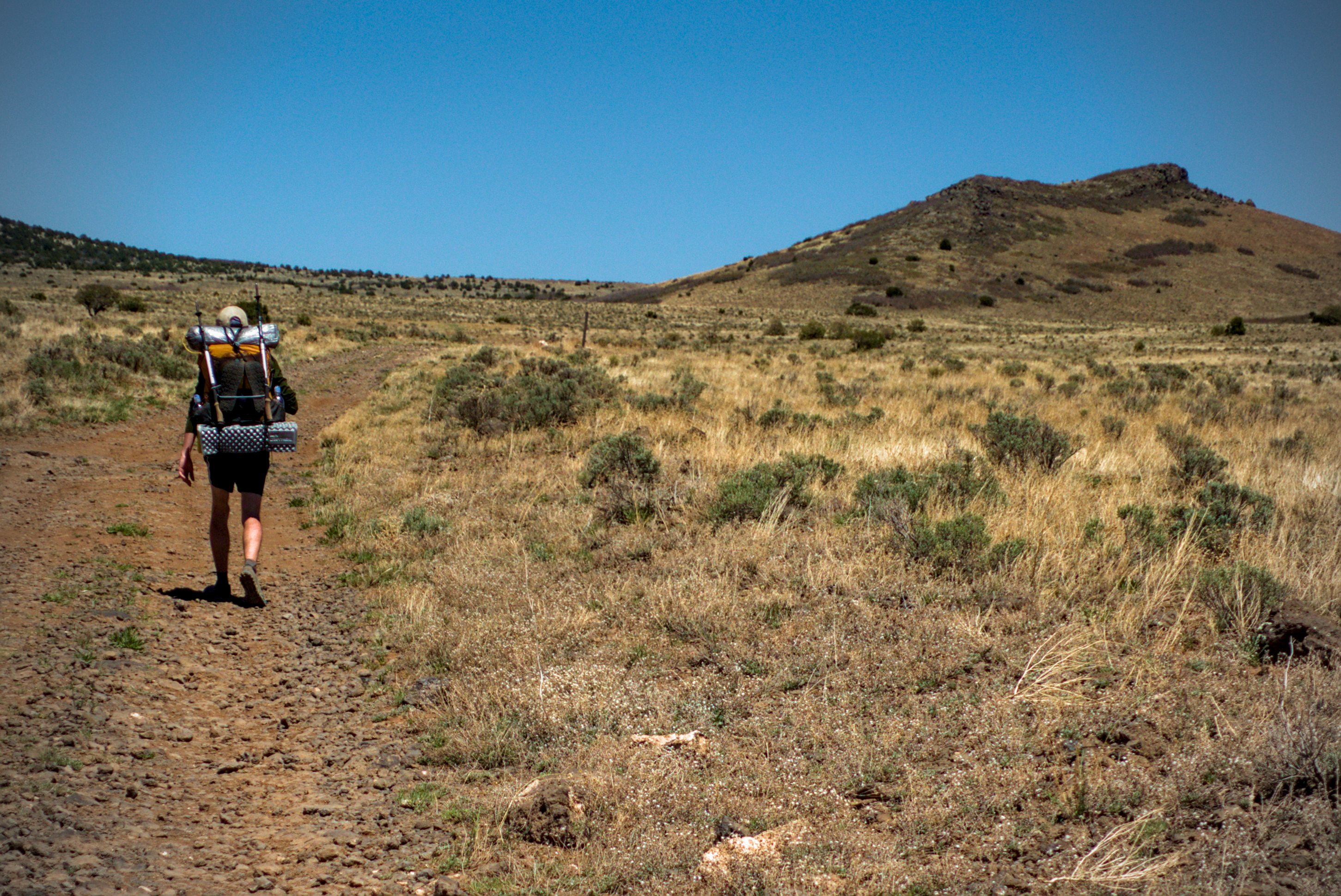
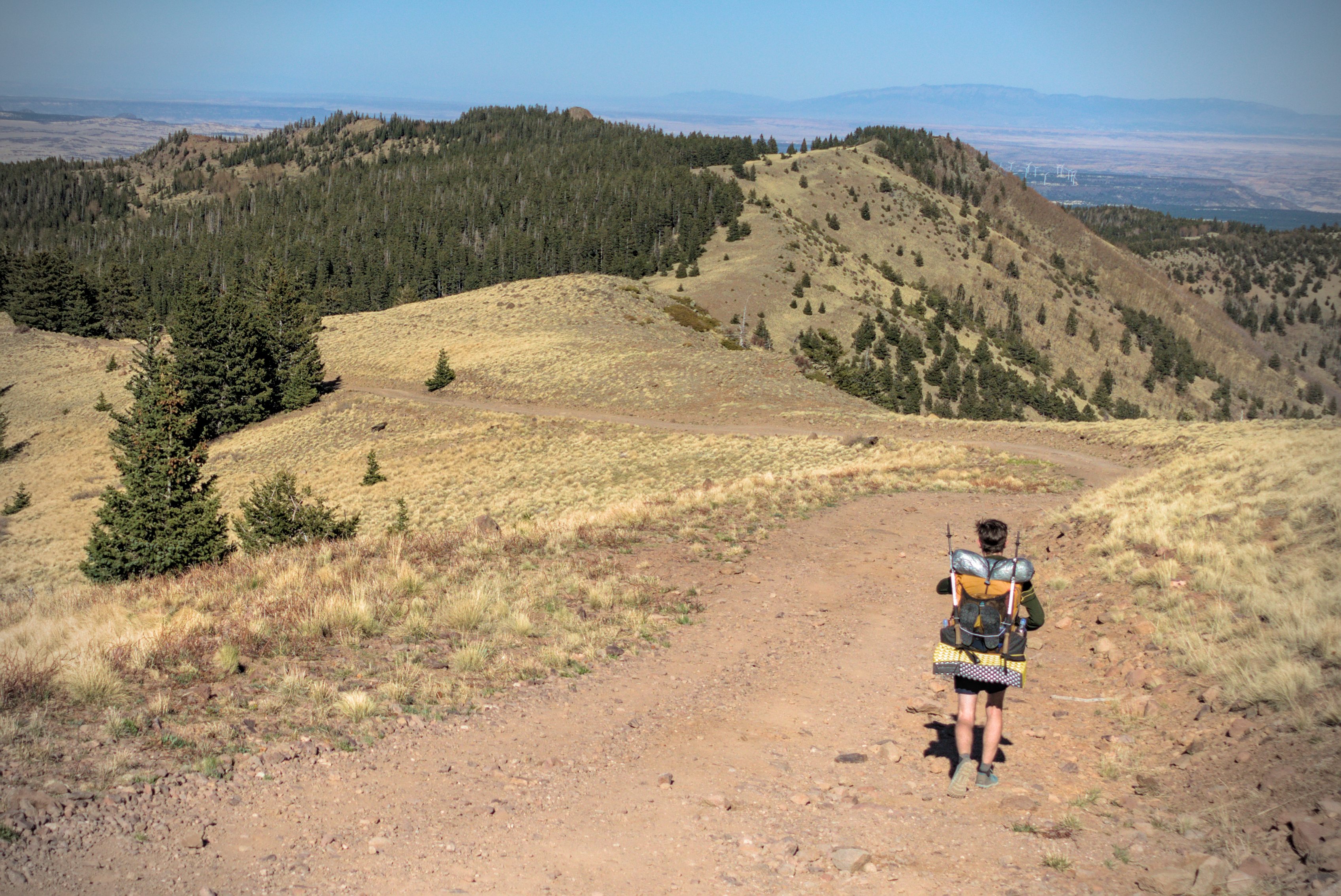
Info hikes on the long, long plateau.
I look wide awake, but I know for a fact I am tired!
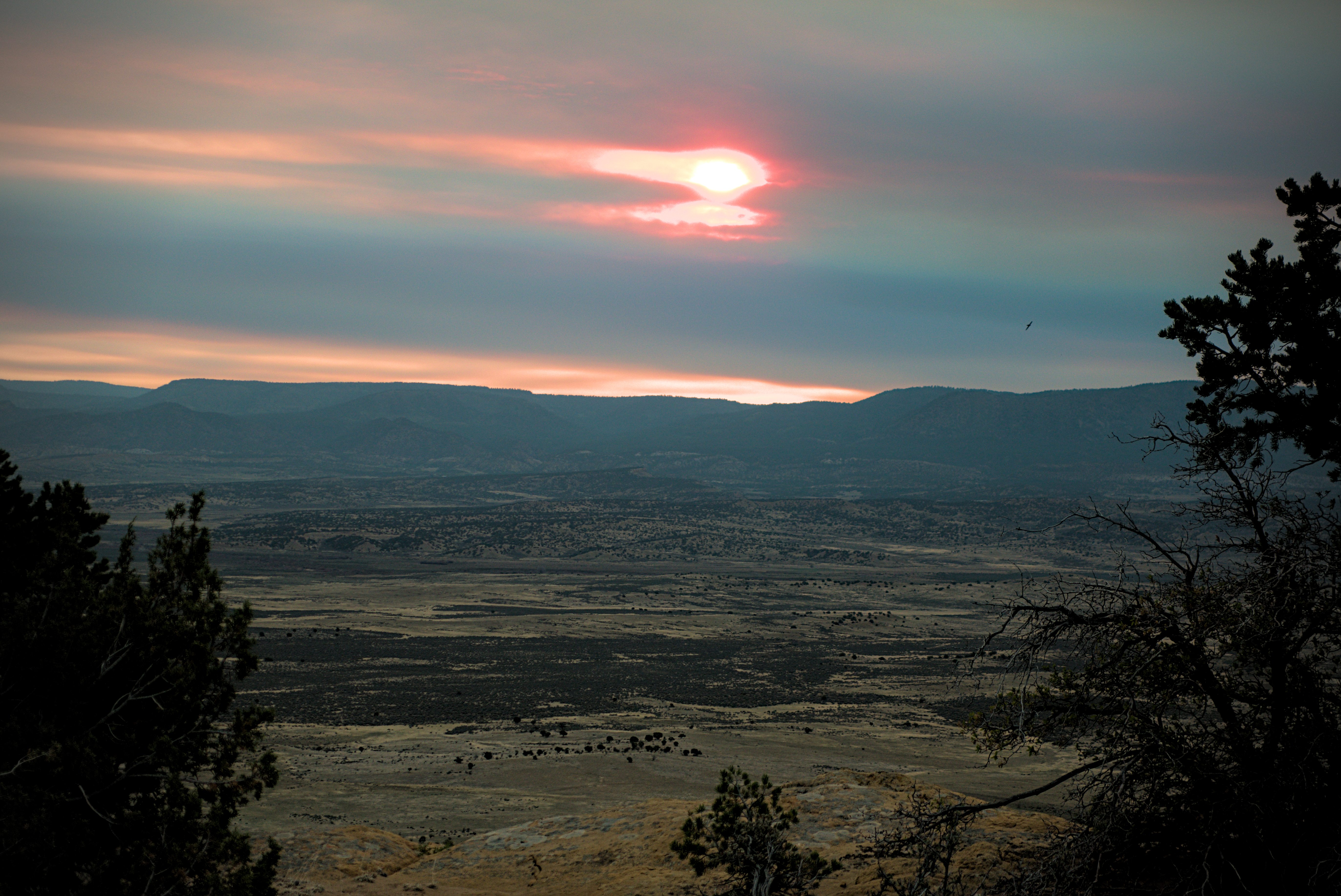
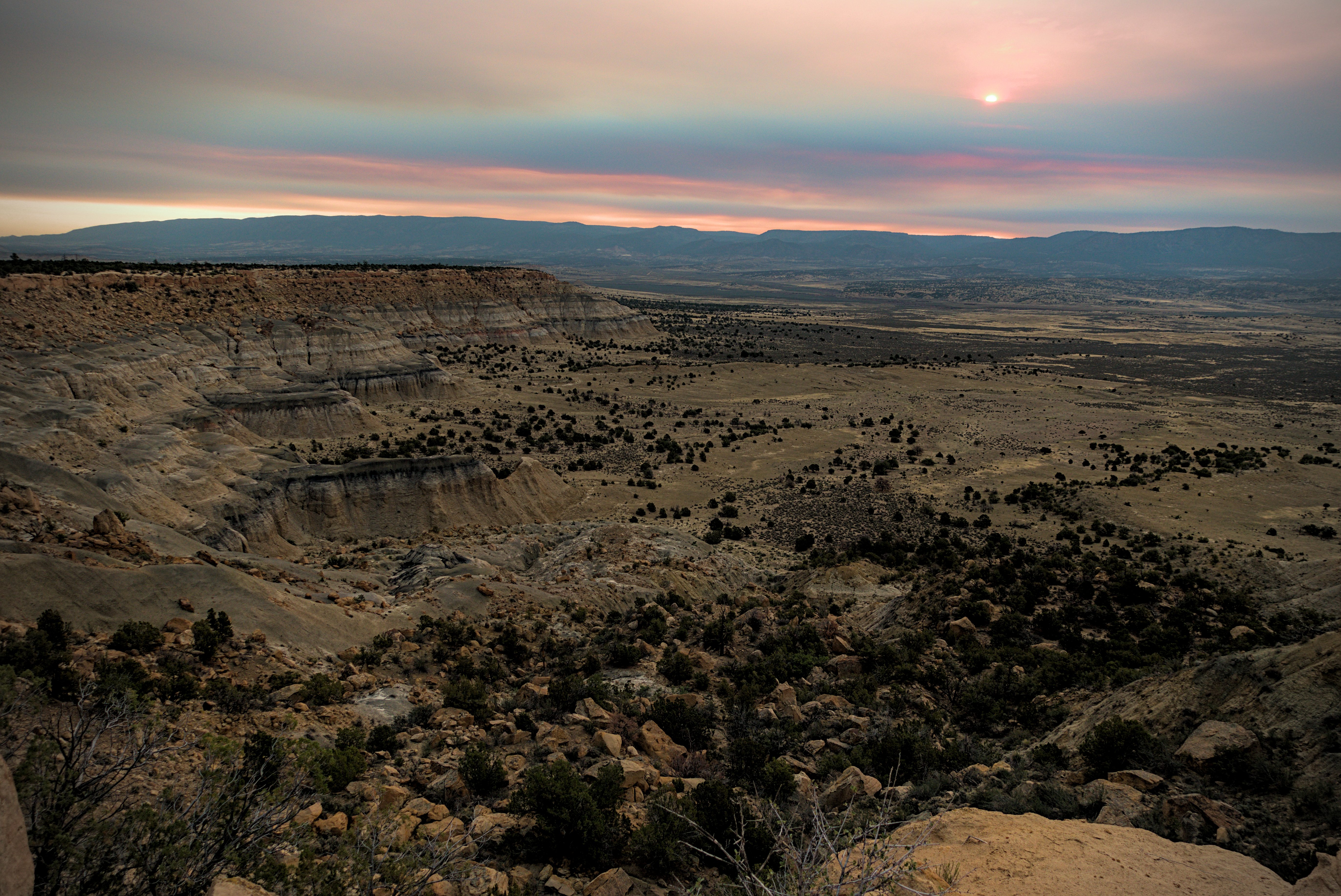
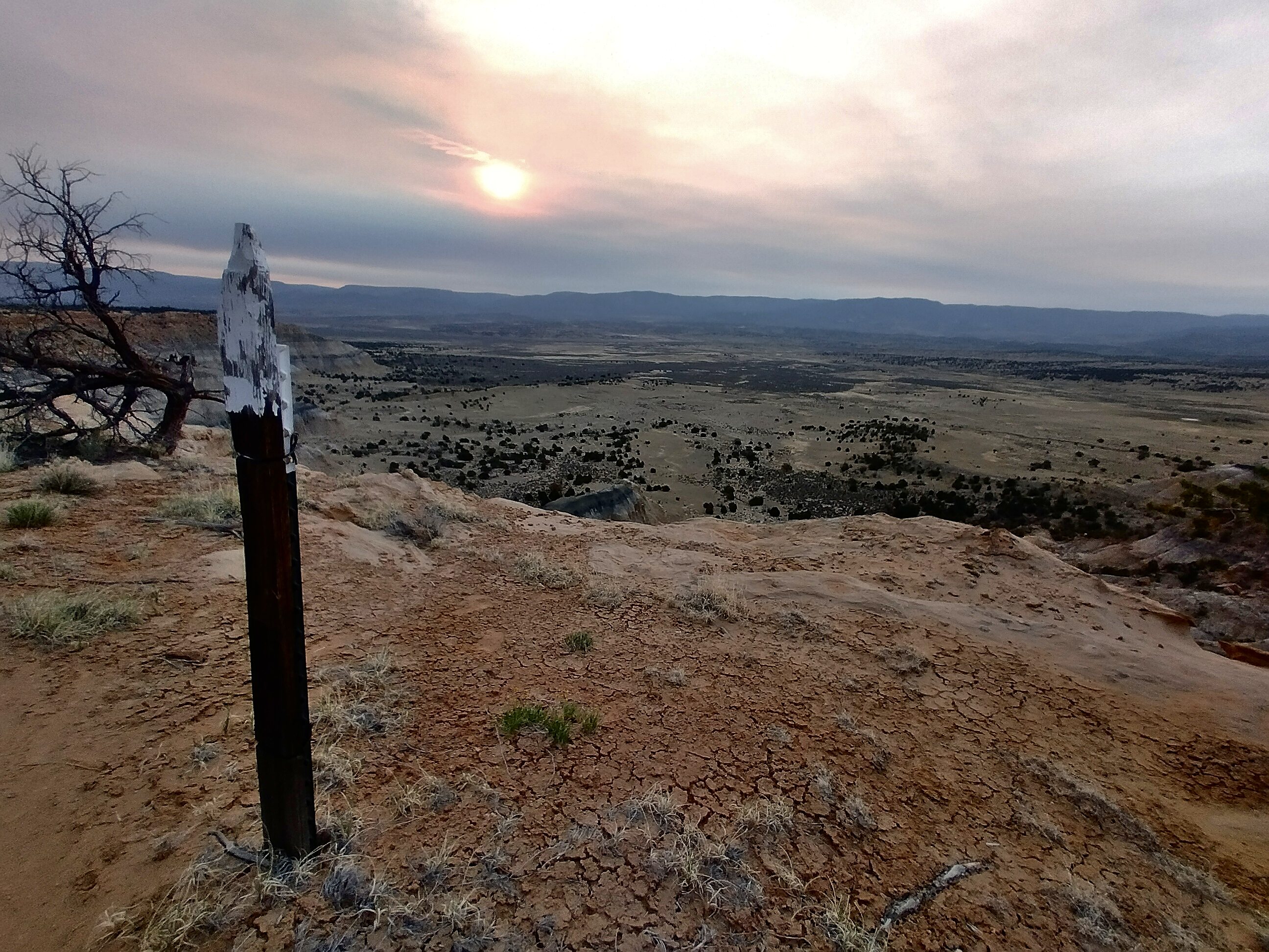
I slept gratefully on the side of the road a few miles before a water source. The day had been dominated by views out to volcanic plugs down in the desert below on the west side. On the right was the crest, just a bit higher than me, and Mount Taylor continually receded but never disappeared.
May 14, day 24 - 23.5 miles
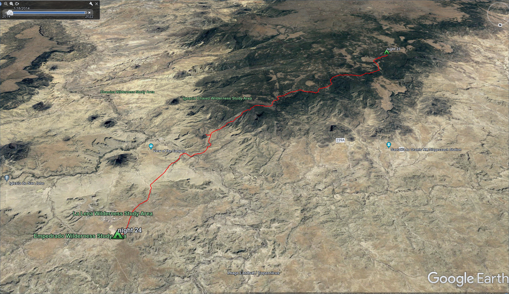
Finishing up the high plateau, down to a desert camp.
Rather foolishly, I passed by the water source, because you had to walk almost a mile down to a creekbed. I decided I could make it to Cerro del Oja Frio for water, but that was at least 12 miles away and I probably only had one liter. Though, tired feet and body spoke loudly: only take necessary steps!
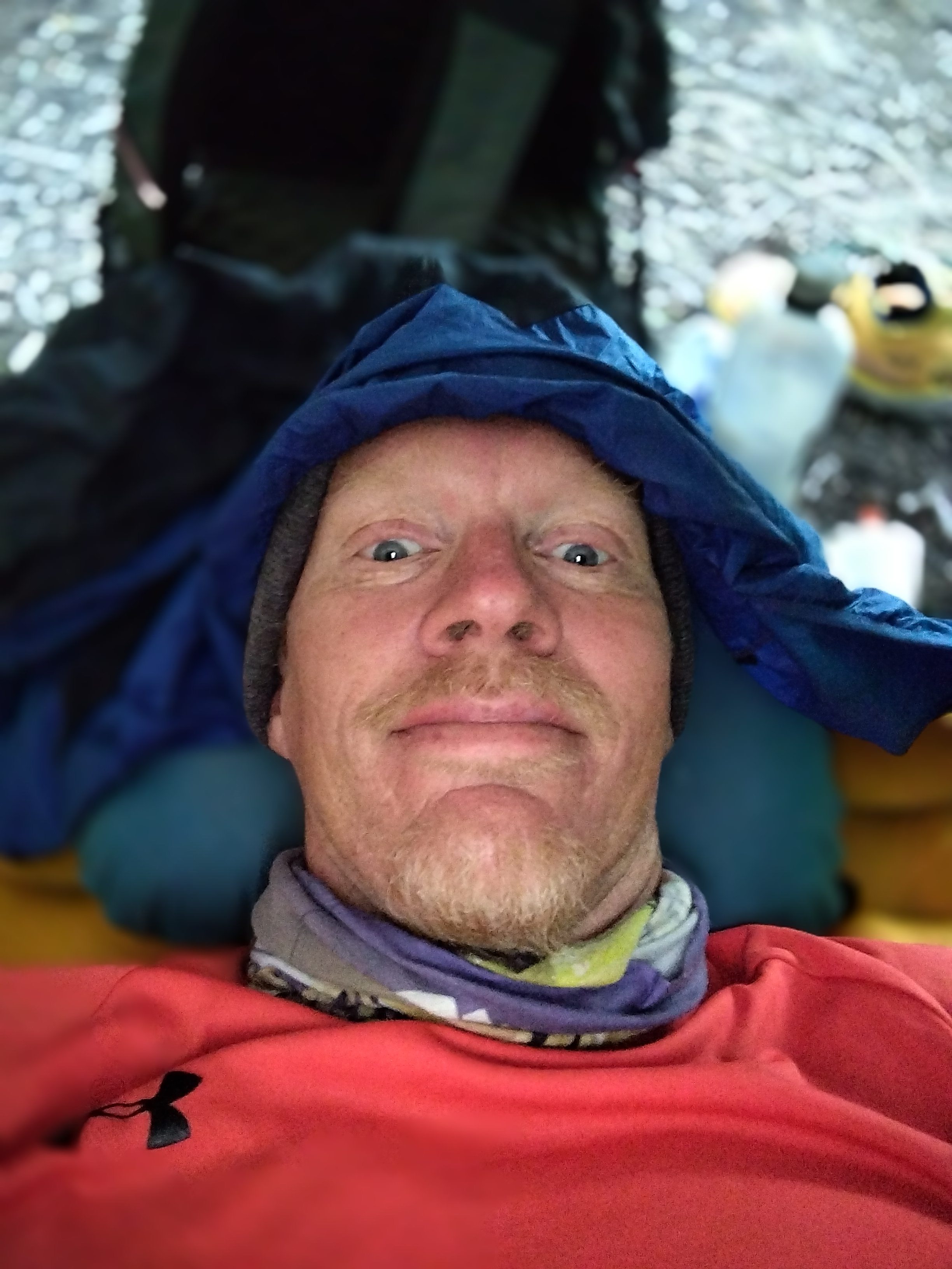
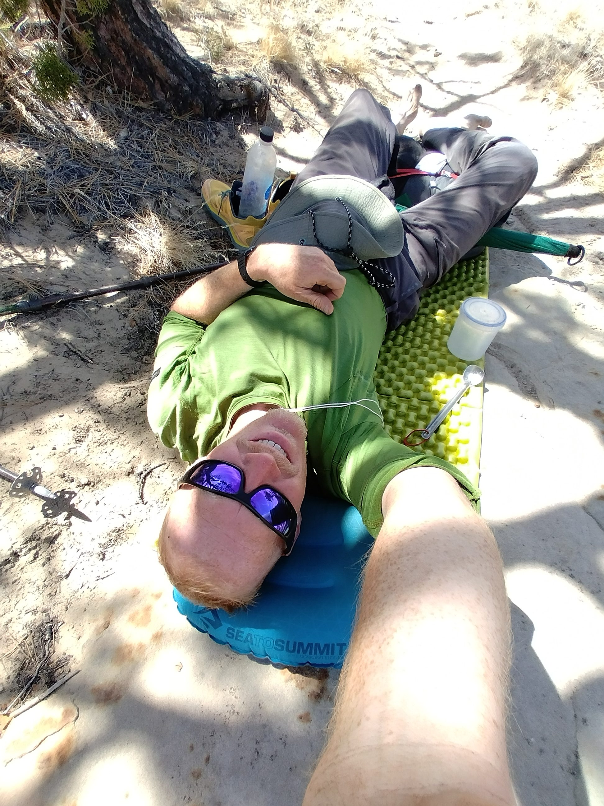
A selfie picture, resting under a tree and having finished the last of my water.
Tall Son got this picture of me before dropping to the low country and some
much needed water at the low hill directly above my head.
Tall Son arrived and passed by, and we took some pictures. I guess Info was ahead because I didn't see him again until the Ghost Ranch. It was interesting coming down into the desert again...the trail was initially very steep. Then the land turned light brown and treeless.
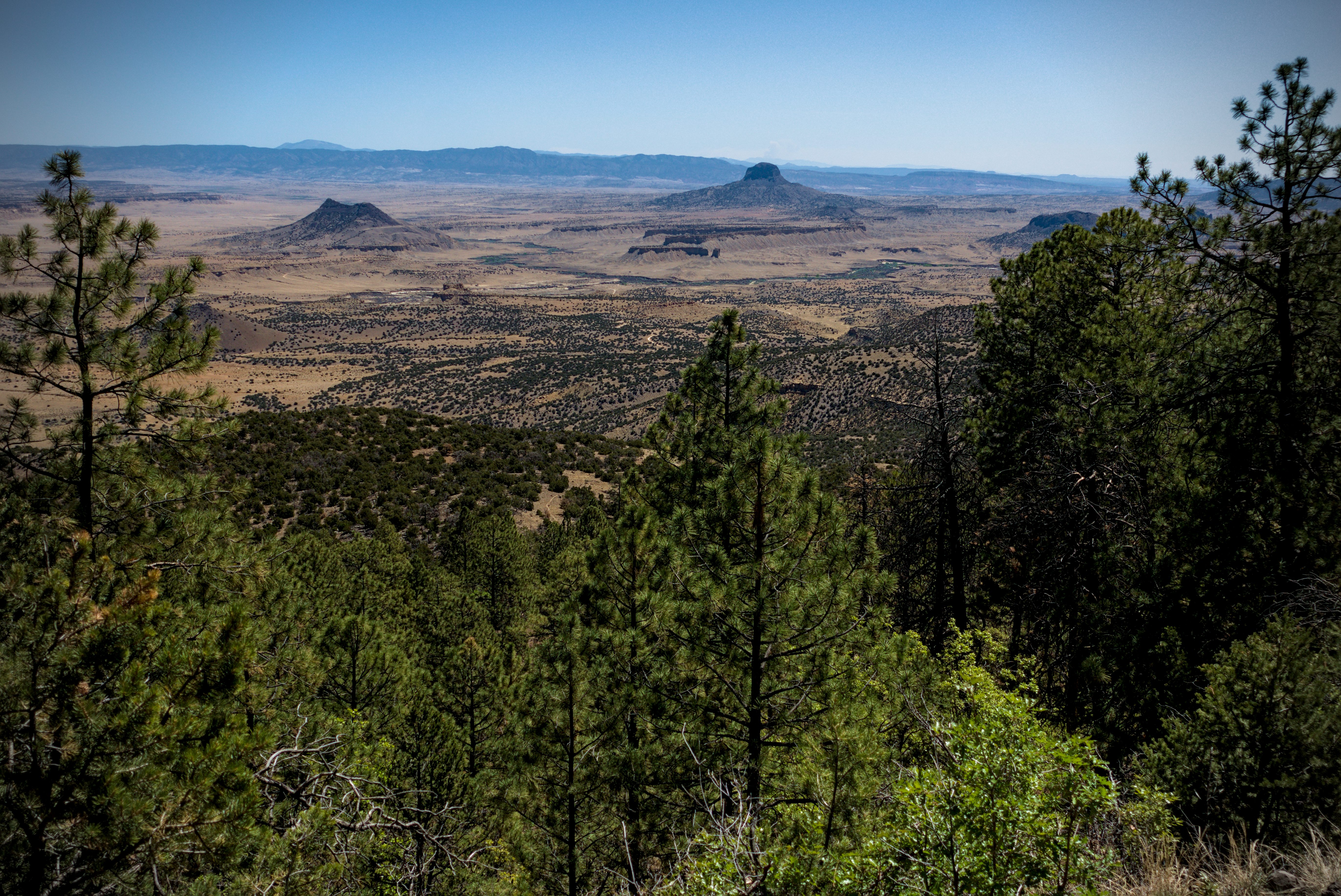
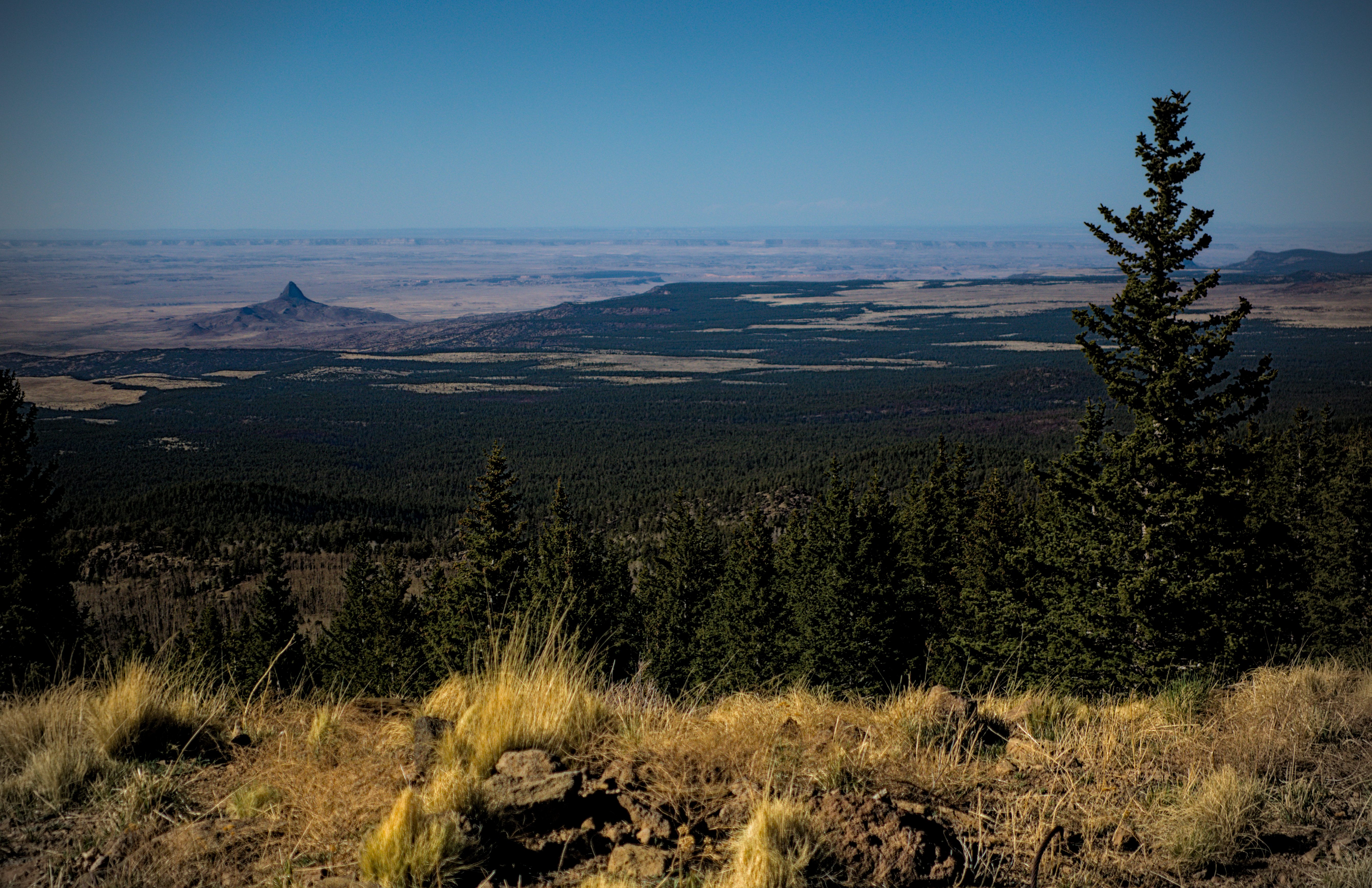
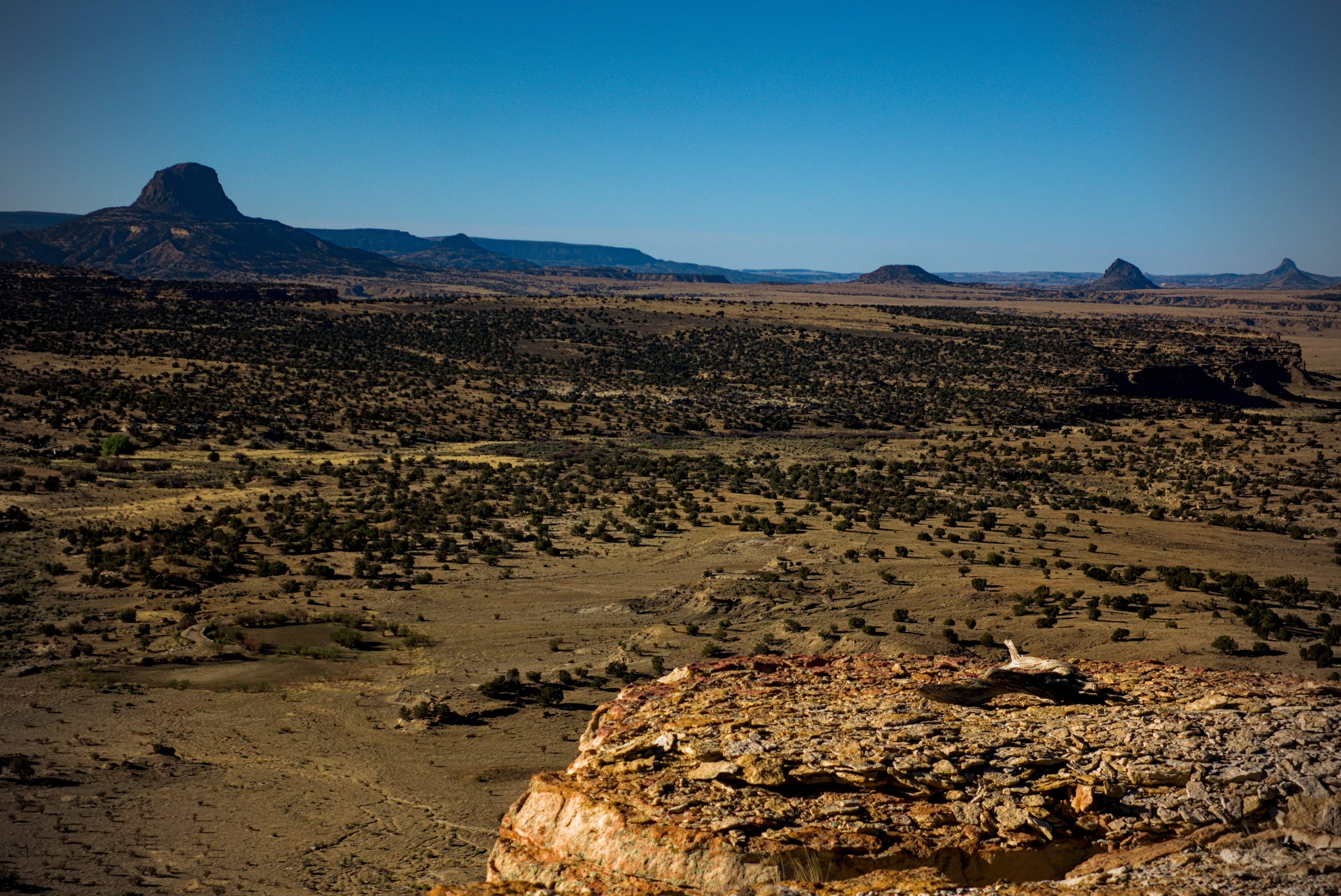
The peaks of Cerro Cuate and the imposing Cabezon Peak that dominates views
for the next day as well.
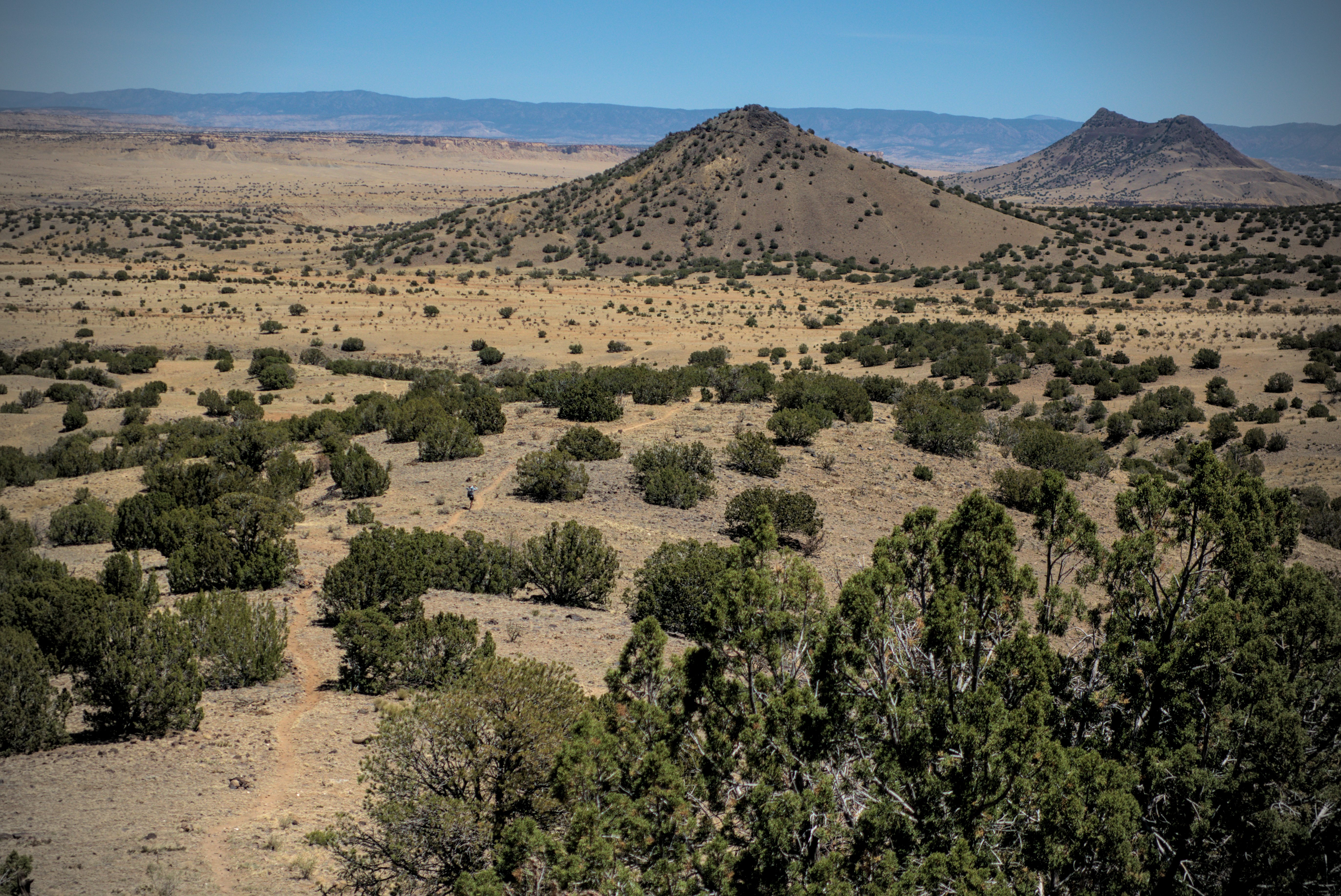
Cerro del Oja Frio which marks my long-awaited water source. Cerro Cuate lurks behind.
The peaks of Bear Mouth on the right and Chavez, higher, marks where I came
down from the high and dry plateau.
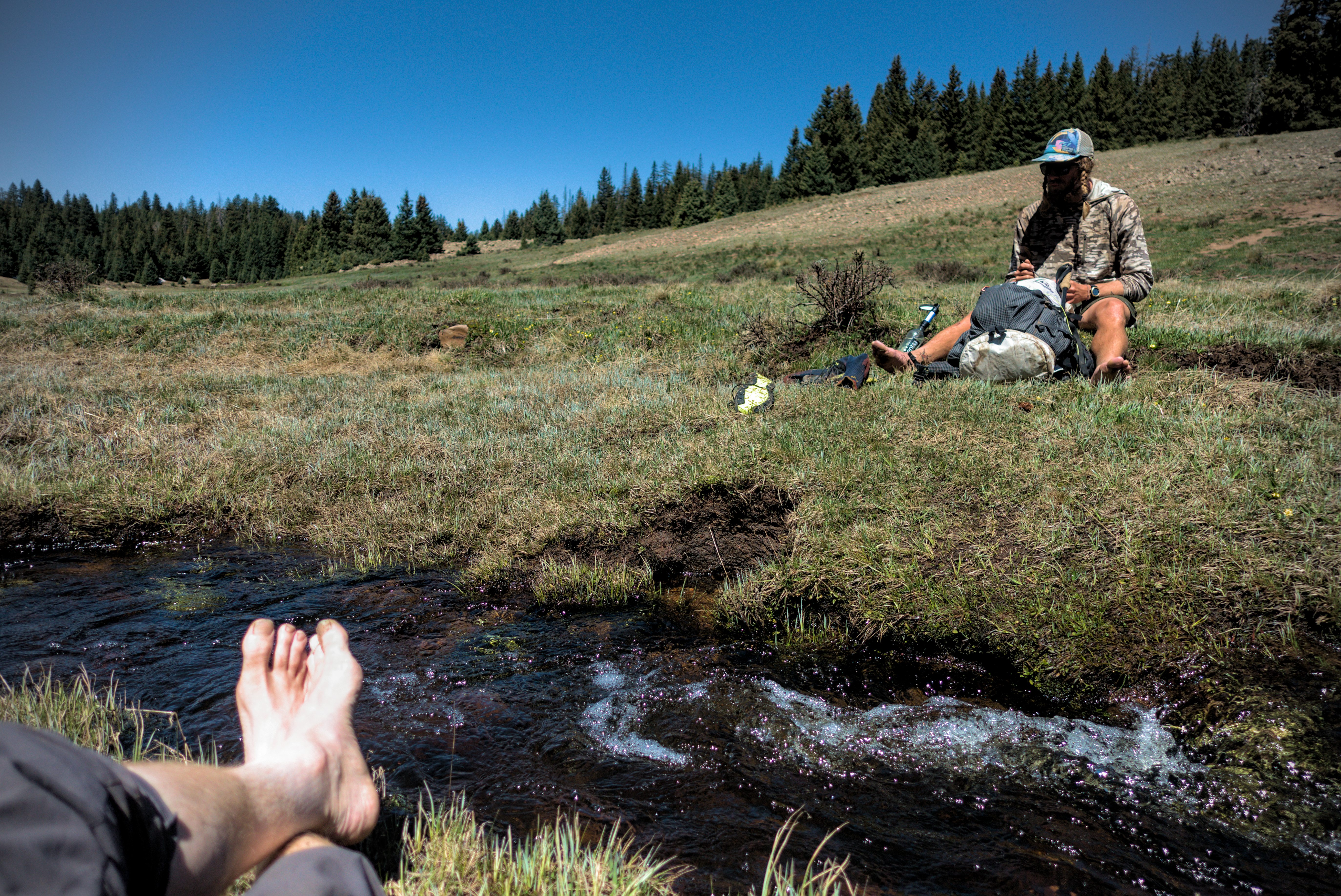
At the spring, I planned to hang out a good long time. I rigged up my pack into a kind of couch, drank water like a camel, and ate peanut butter and tortillas. Tall Son hung out a while, and Lemonhope came along. I hadn't seen him since...wow...Doc Campbell's Post.
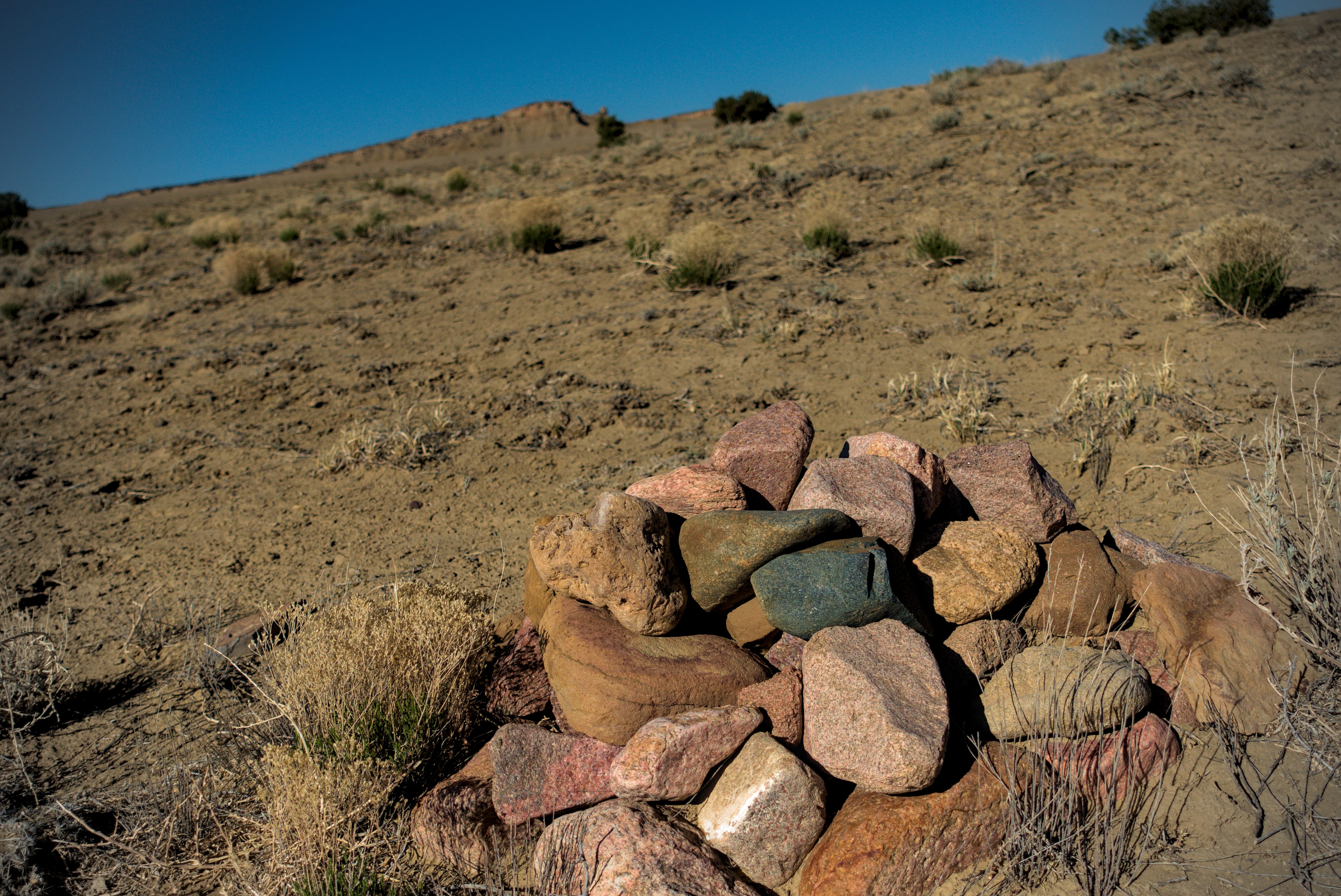
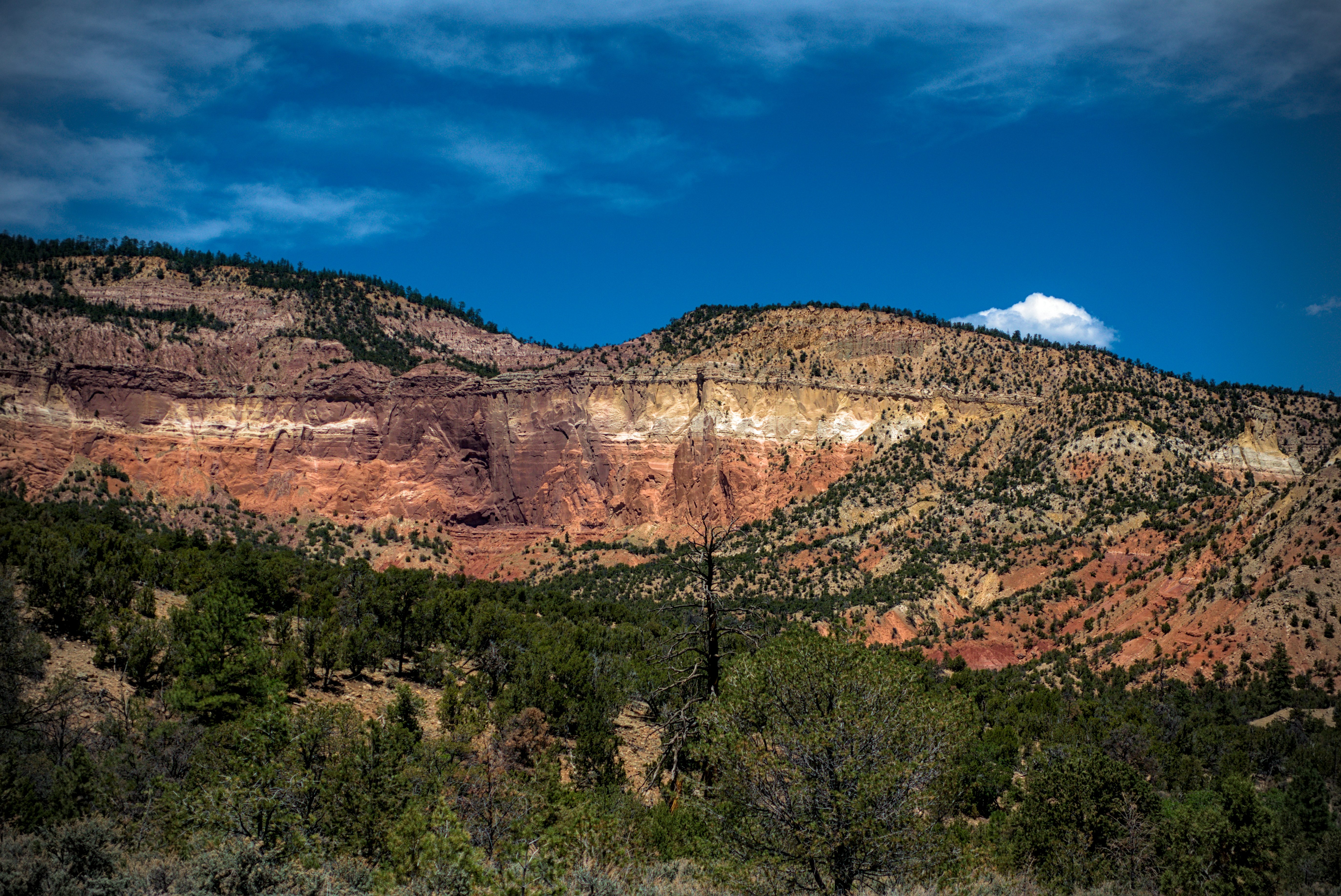
Colorful rocks of the Mesa San Luis.
Lemonhope wears a crown of thorns. His idea was to walk to the Pacific Ocean
and throw it in. He could have done it, too!
I walked down into the Arroyo Chico, a low, winding desert canyon. Soon I was climbing up the other side onto the Mesa San Luis. Lemonhope caught me while I rested a while and sat with me with a crown of thorns on his head. He is irreverent like that! We continued to a campsite with a glorious view, poised for a day of wandering canyon rims.
Looking down from camp on the Sante Fe Trail.
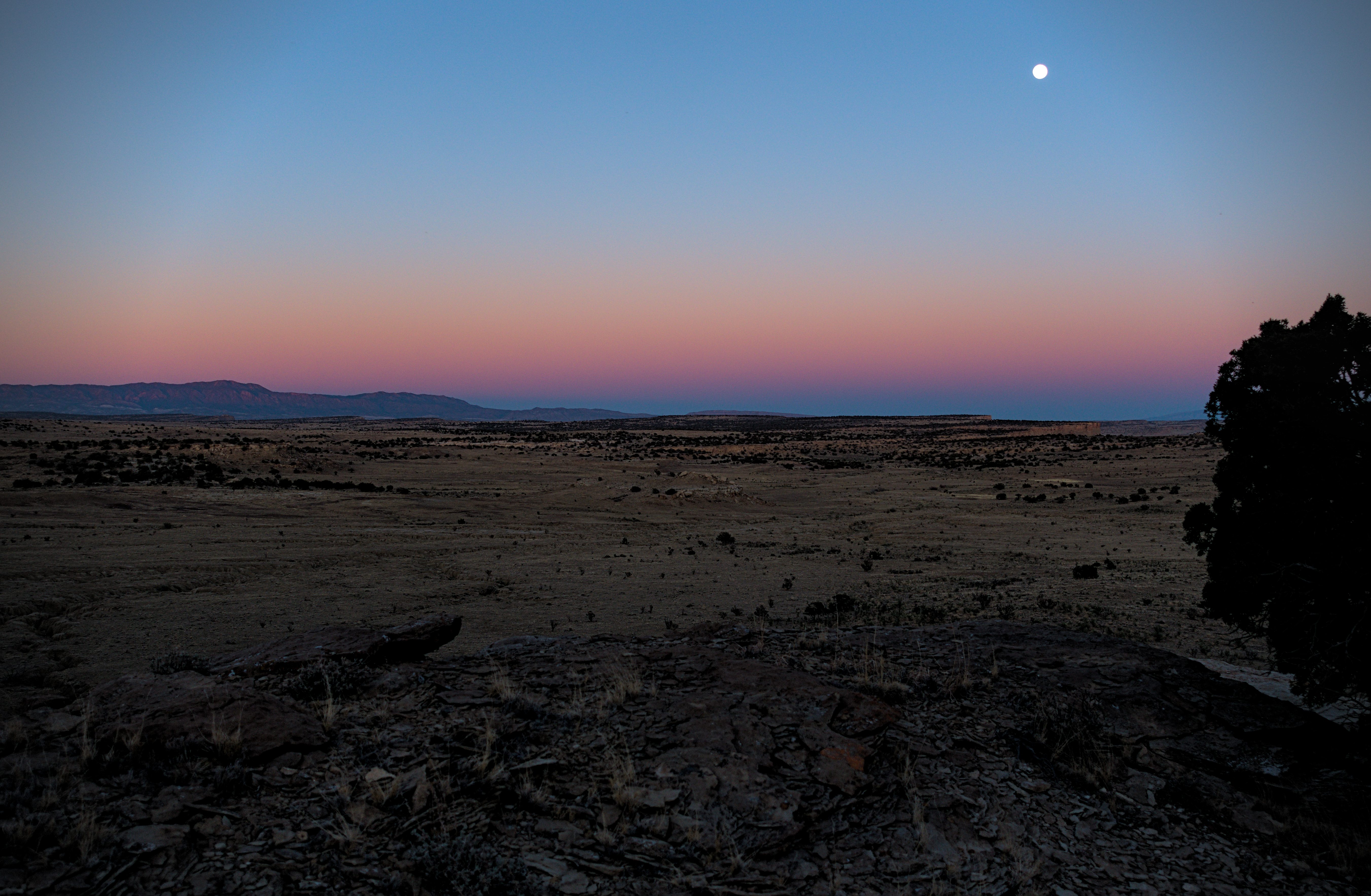
A beautiful night...
May 15, day 25 - 24.8 miles
A hot and tiring day in the desert, but beautiful and interesting country too.
Good morning, Cabezon!
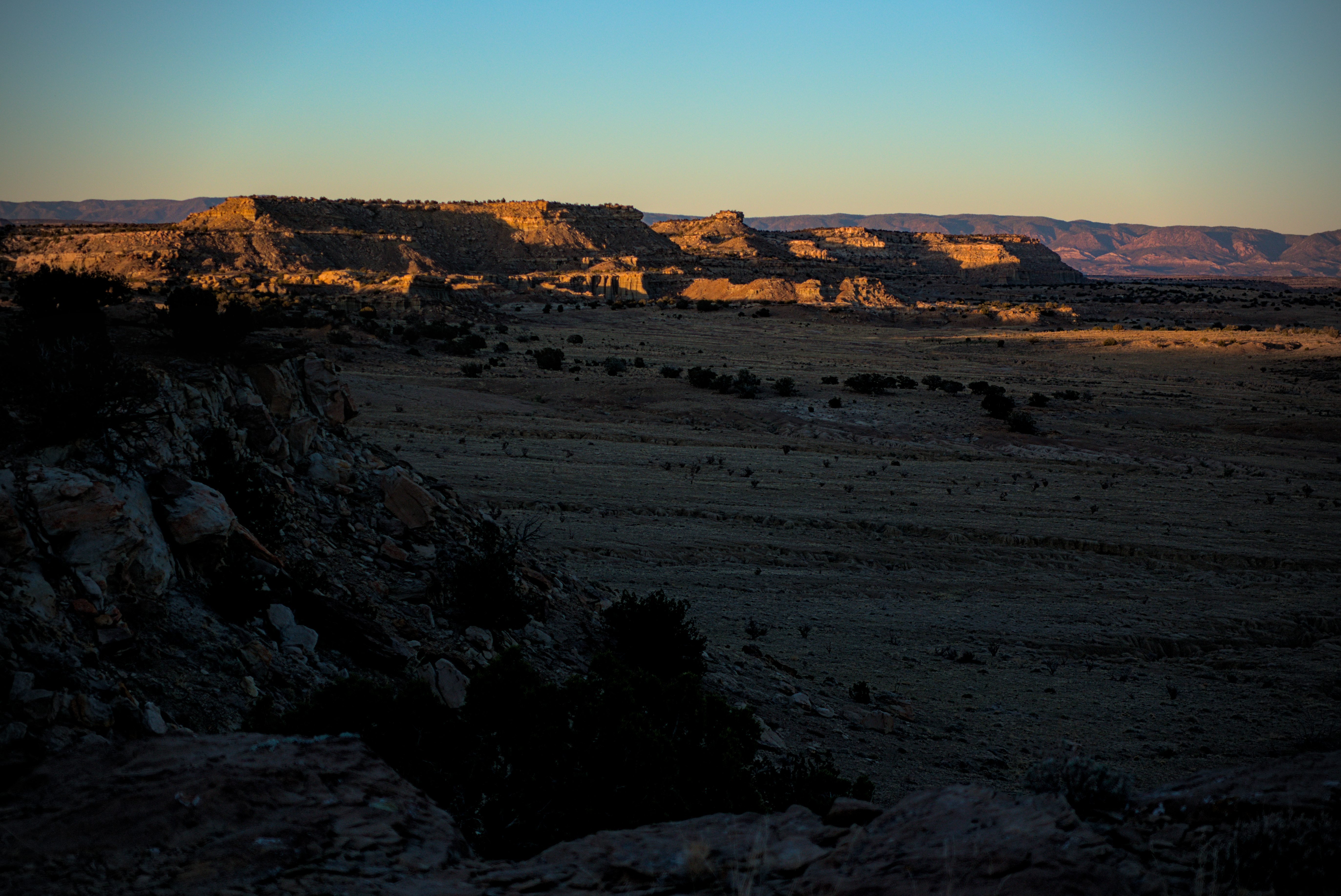
Broad views to highway 550 and the Sante Fe National Forest behind.
The mid-morning was marked by a water cache that I appreciated so much.
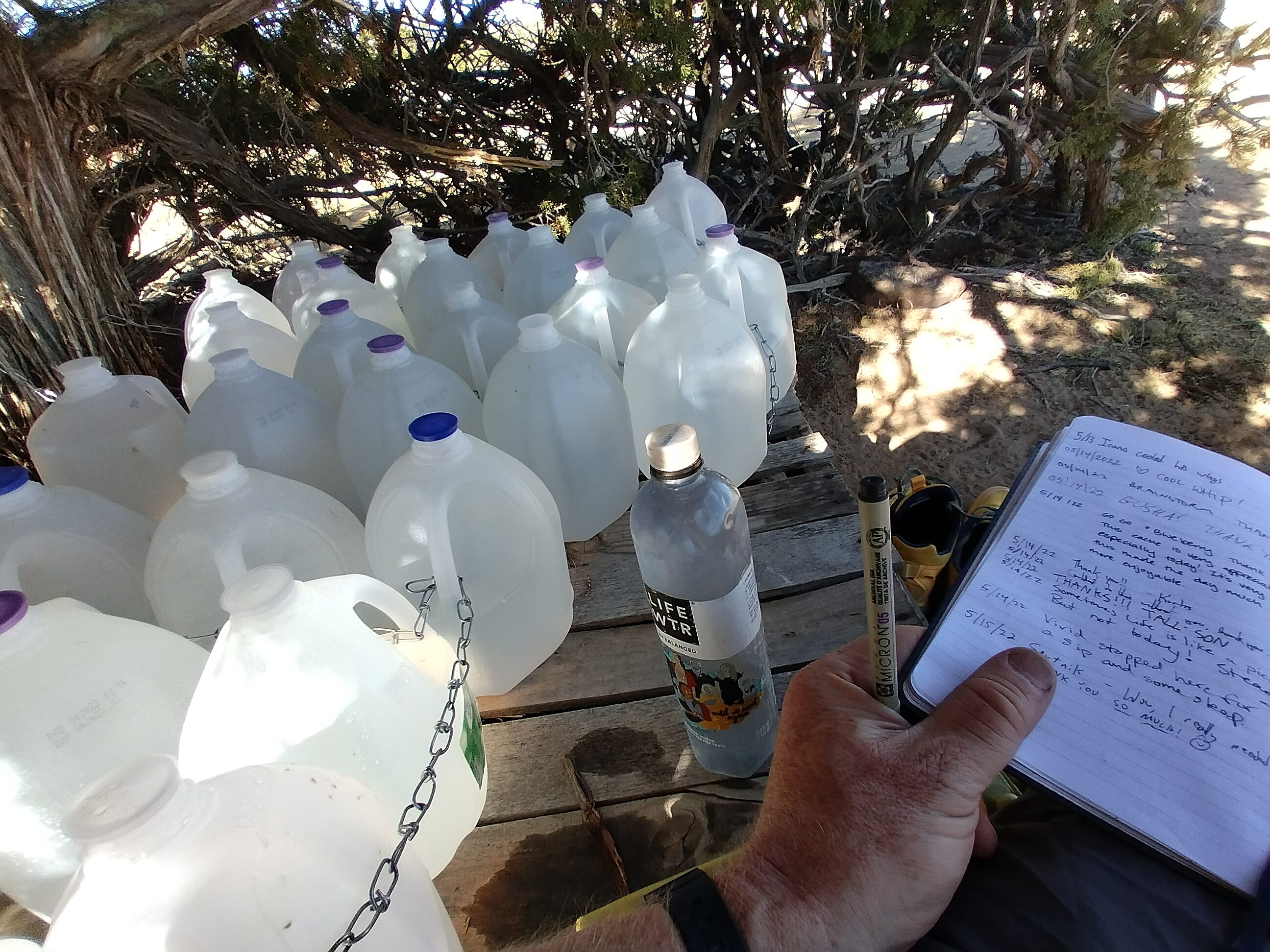
An amazing, and completely necessary water cache!
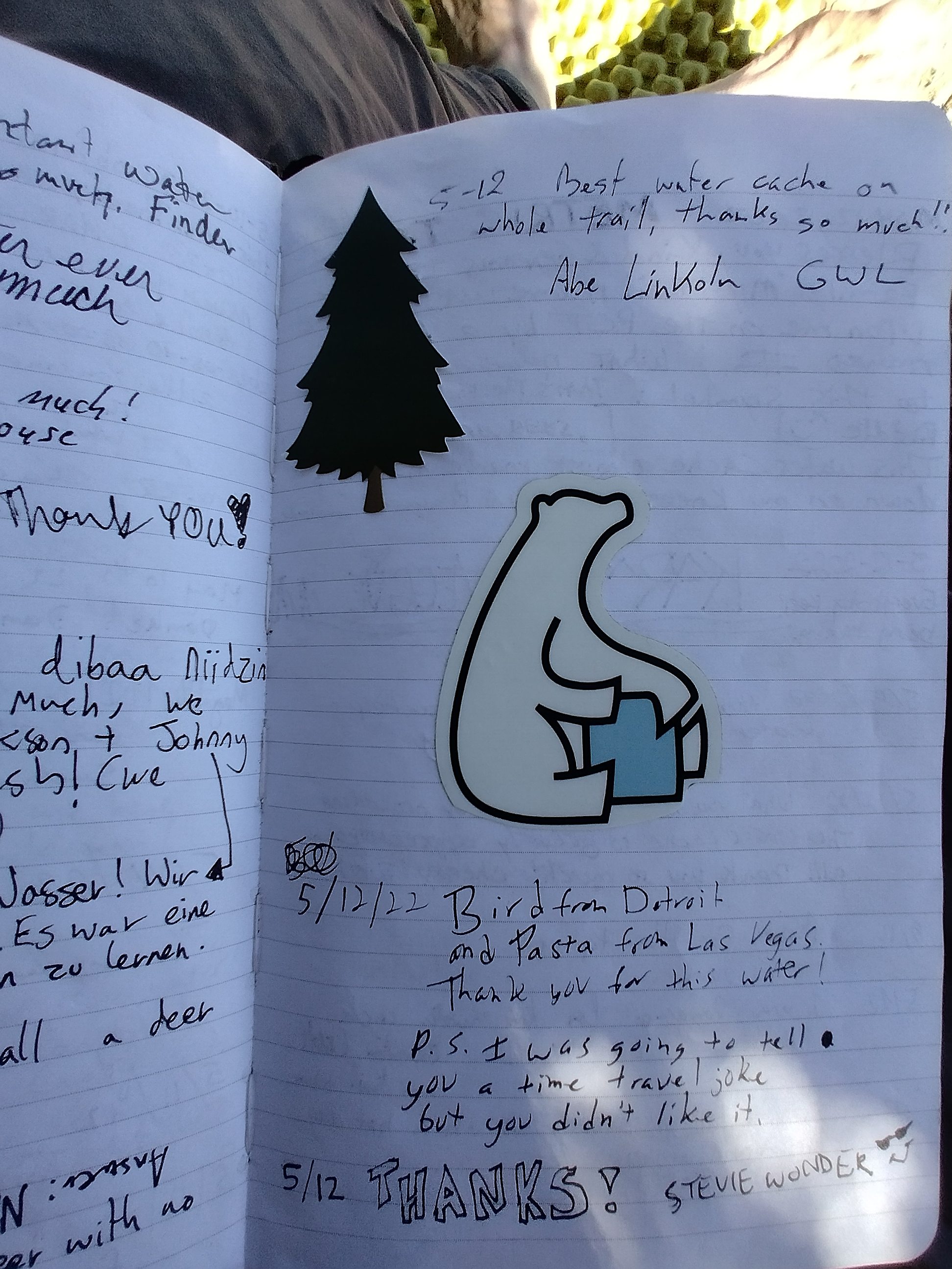
Many notices of thanks for the water cache.

More notices...
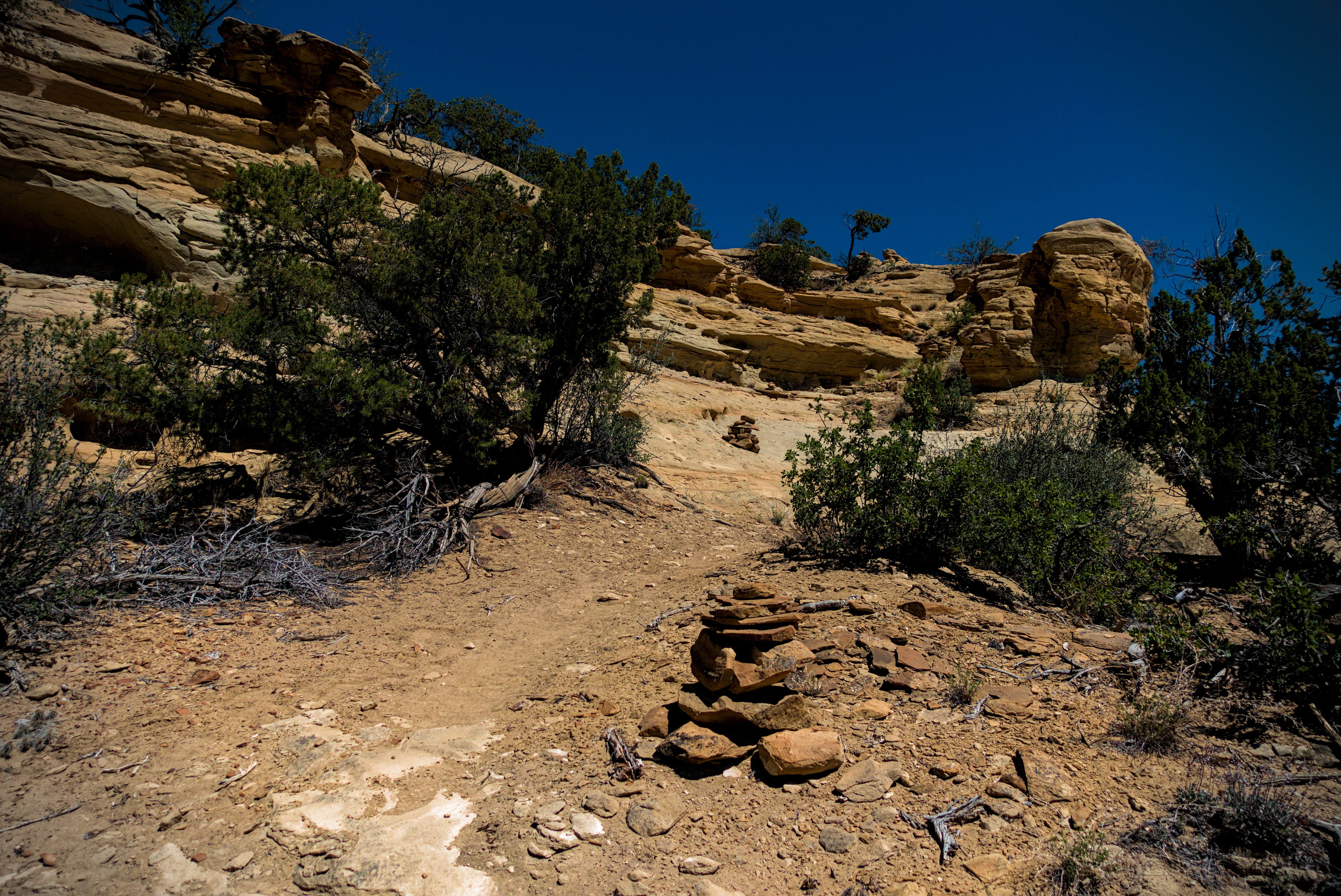
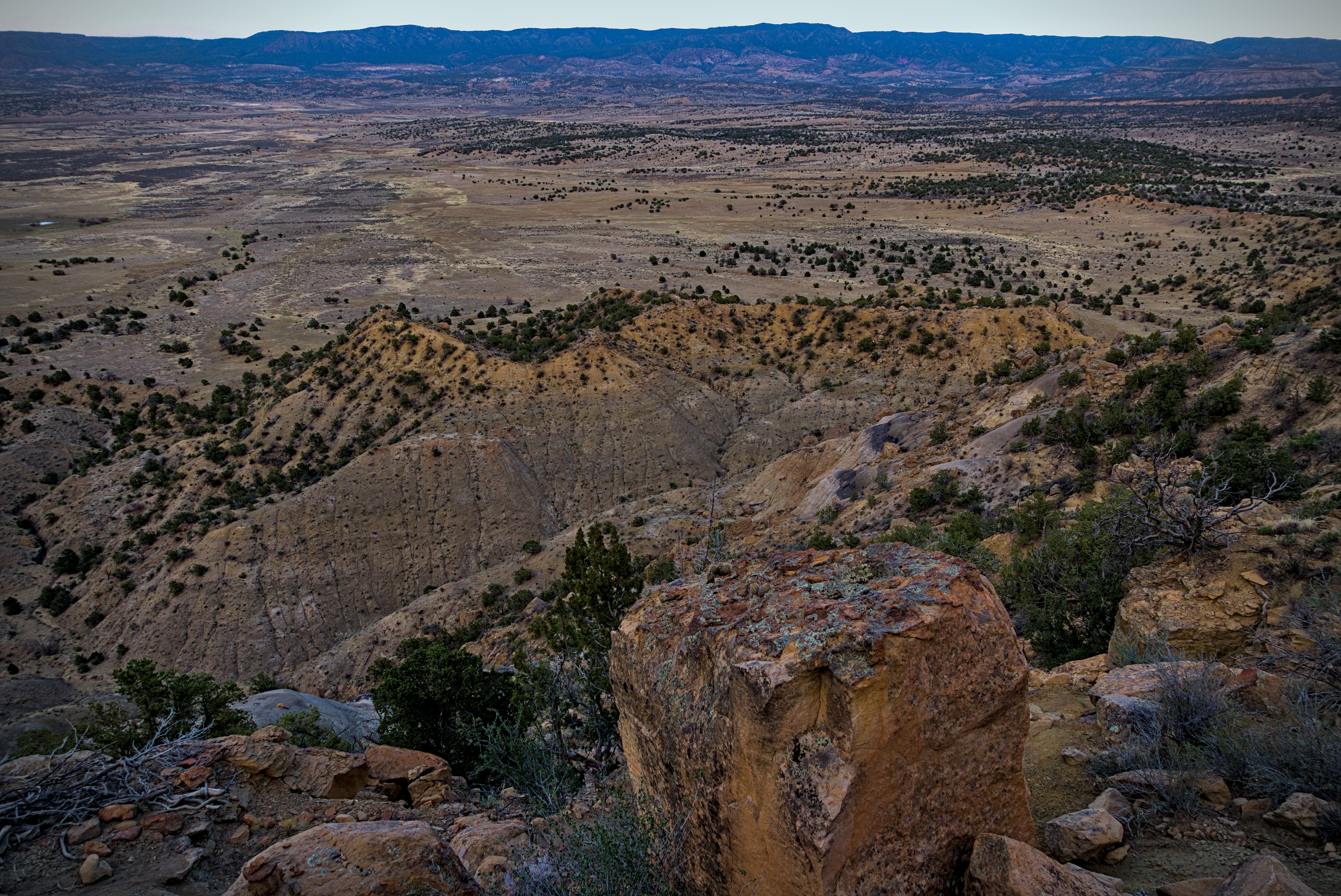
Canyon country.
I felt deep gratitude in these hot canyons and ridges, and wrote an entry "Epiphanies" on the blog. It's probably one of the more interesting things I managed to write down for the whole trip. Here it is:
On the dramatic day of canyons I found myself crying tears of joy at least three times. One thing that really got to me was the realization that in the married years, I had a purpose. I was rarely gripped by doubts about what to do, because what to do was obvious. As the head of a family, I need to work and work well. Beyond that to participate in joyful encounters between us. To dream with my spouse about what comes next. And having dreamt, to slowly accrete the foundations so that these dreams make an appearance in reality.
I see many young people out here. They don't have kids. They are so sufficiently free, that to me, they seem to have the problem of late middle age, when the kids are gone and you start asking yourself what you really want. I wouldn't want to be in their shoes. Or, I should say, I couldn't have successfully worn those shoes at that age.
I was half asleep. I needed a "default" purpose, or, let's say, a template. I think even then, in the 90s, when we began living that template, it was already outmoded. We were both joyfully living it. Looking back now, I'm so grateful for it. And most importantly, for my partner's energy, love and creativity in matching that idea of growth and togetherness to the particular shape of our lives.
As I walked and scrambled between canyon walls, the rightness of the constraints I felt in those days gripped me.
It was right that my freedom was within a limited sphere only. I was part of a loving team, building a real form...a family. And all forms require constraint on freedom. They enable new freedoms, built on their platform. In the Kaballah, there are three pillars that uphold existence, of which the two on the outside are relevant here: the pillars of force, and form. Force is the masculine desire to be here, there, and everywhere at once. Form is the feminine knowledge of choosing, of constraint, of shaping force into forms that a new thing appears in the world. Of course, we each contain and express both of these... The appellation of masculine and feminine is only a kind of tendency or handle for the concepts.
We made magic, she and I. My freedom (or "force") was put to good use, and I don't think it could have been used better. In fact, I know it was perfect. Because the final form of what we did is before my closed eyes as two strong, gentle, and highly conscious young men.
There is something to this world.
In these hot and shattered blank spaces on the map, maybe I better see the way I have been gently used by the life force within and around me.
I can only say... Again and again... Thank you. Thank you for giving me a role to play in this dance, spinning from small particulars into a timeless realm. For the faces of the loved do not age, they only deepen. And events in time do not affect them. They only better reveal what is already there.
Yeah. So it is!
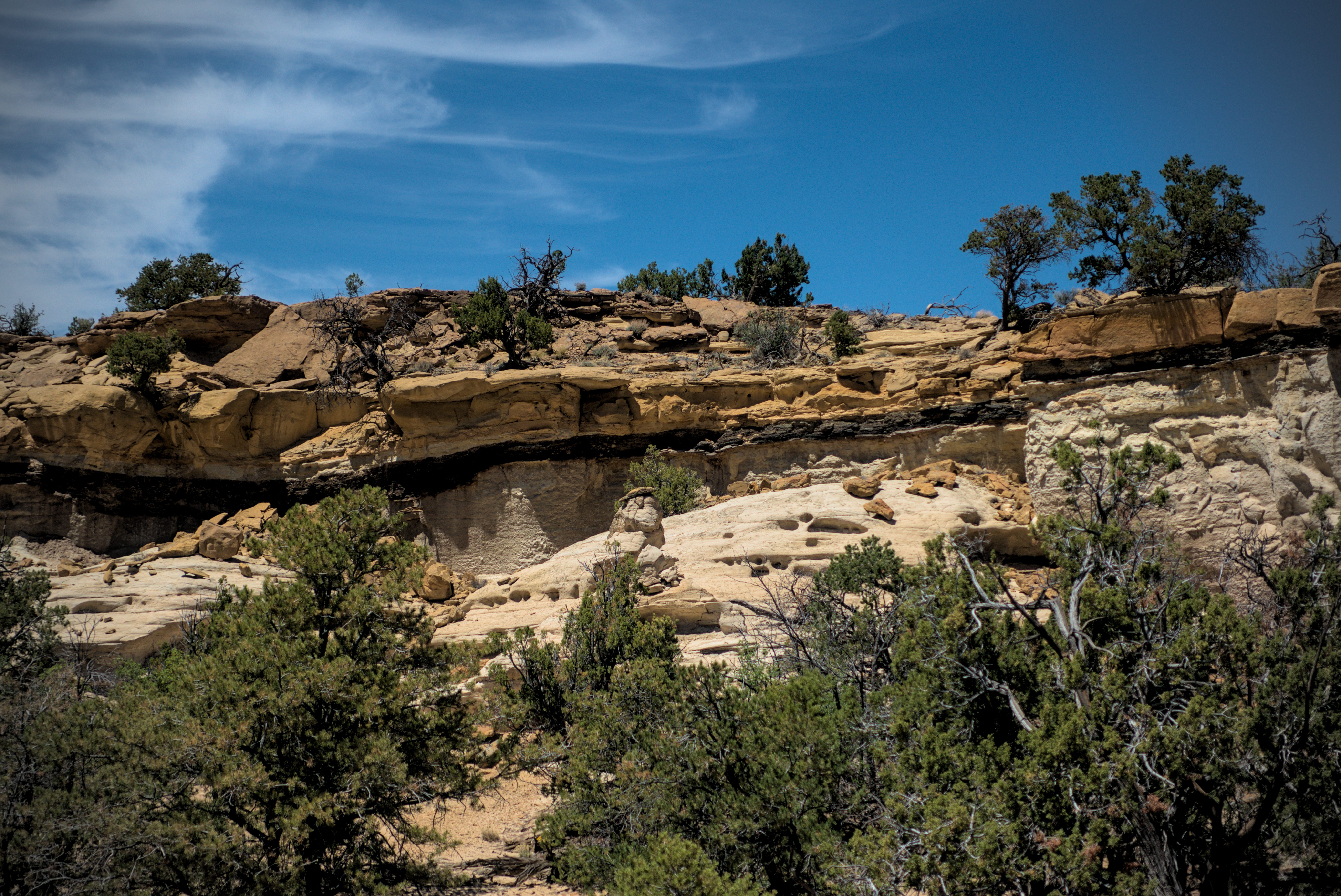
With interesting layers...
Somewhere in the hot afternoon, taking refuge on the side of the trail in
some shade.
In the late afternoon, I came down into Jones Canyon, where there is a spring, marked on USGS topo maps as "Spring (polluted)." Ha! I didn't care about that. I, and everyone else here just needed the water really badly. It was the hottest, thirstiest day on the trail since the first week. In fact, some of the people laying about in bits of shade here seemed victims of heat exhaustion. I was pretty okay, having sat at the trail angels cache and drank plenty so I left it well-hydrated in the morning. Others, probably much better people than I, had resolved not to take too much water, so they suffered more crossing the canyons. Hmm. My thought is this: there were an enormous number of jugs at the cache, and it is easily supplied by road. This is the high season of the trail (probably a 2-3 week stretch of time at the most). And that means the trail angel is extremely aware of the state of the cache, probably visiting daily. I think they'd want us to use it to stay healthy!
Without that cache, I think we'd had to take some different route, somehow.
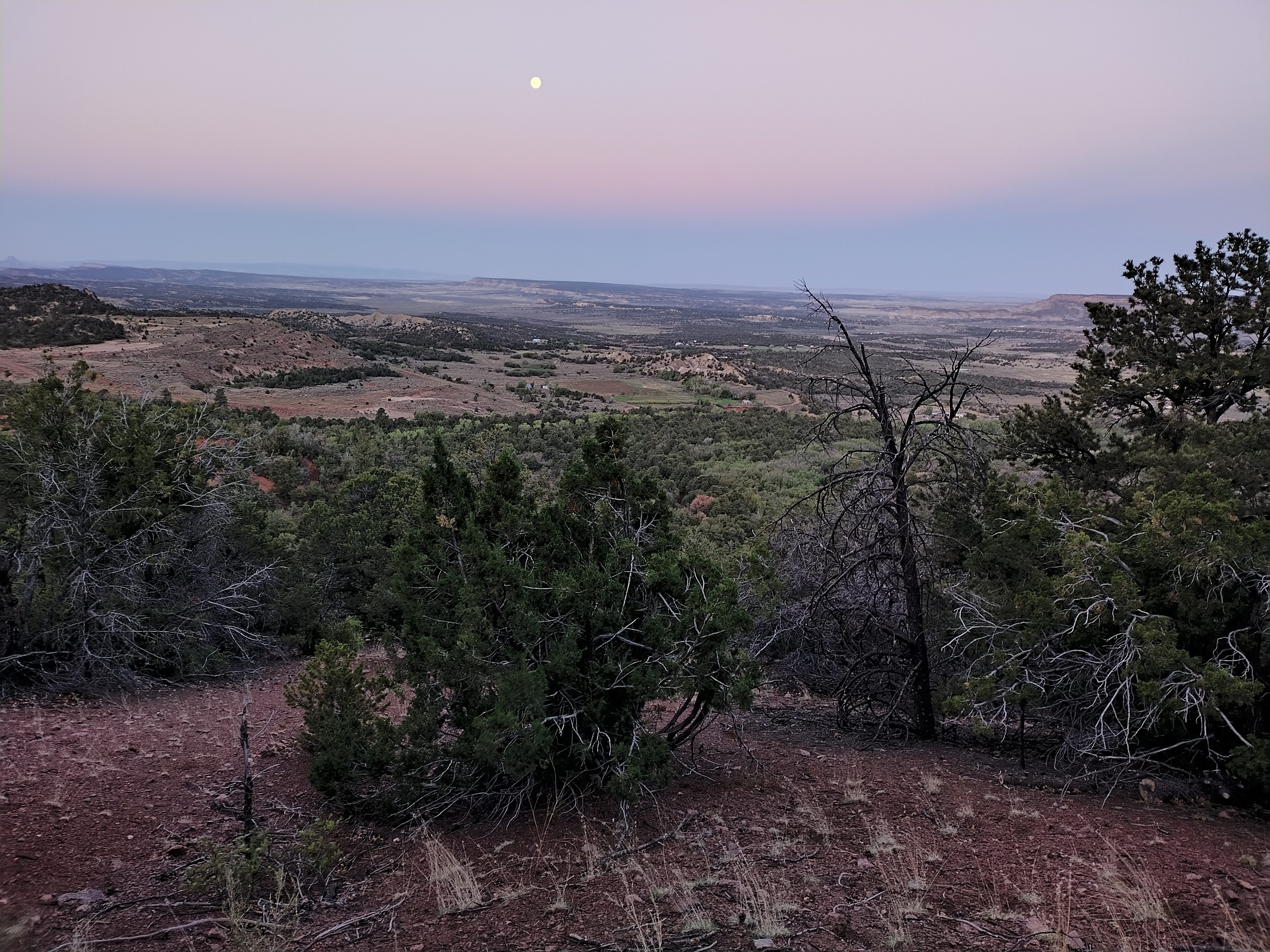
After some joking good times with people at the spring, I walked across a hardpan desert floor, with an imposing mesa looming above. My job was to climb up onto that and camp. It's called Mesa Portales. It was getting dark as I climbed, and it was a kind of dramatic journey. The colors were beautiful, and I was often unsure of where the trail would go. I finally got up the 500 foot climb and found a wind-protected place to set up my tarp.
I wandered back to the rim and looked at the beautiful moon in a cold blue desert. I was waiting for Lemonhope. Sure enough, he came up over the rim and sat for a while with me.
I'm up on the mesa after crossing the country below.
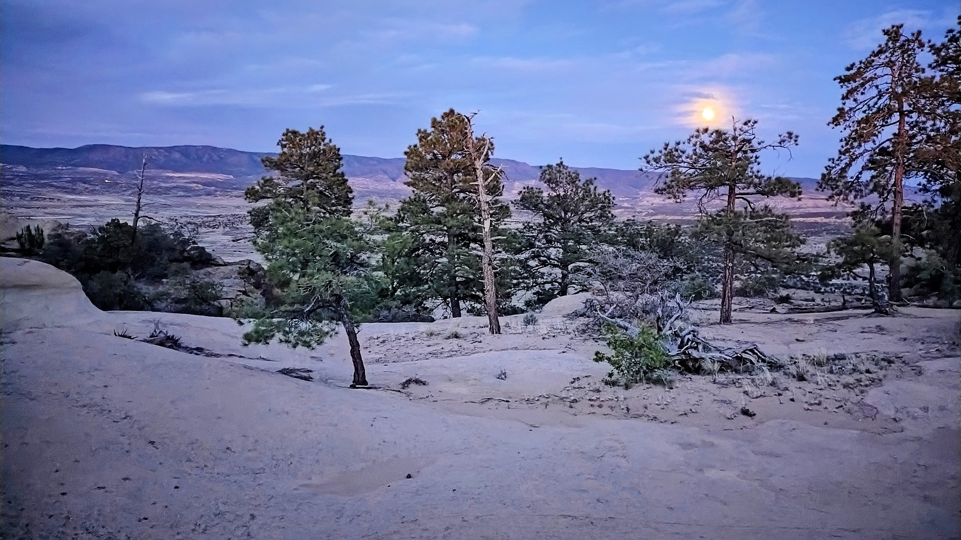
Before sleep, I sat out under the moon and waited for Lemonhope to hike up.
May 16, day 26 - 16.9 miles
A walk along the canyon rim to low country and roads to Cuba, then back up to
a camp by a stream.
I woke to a smoky sky. Lemonhope was already gone. I wandered down along the rim, then into a broad hardpan and finally a road.
In the morning, smoke from the east.
Interesting trails...
A smoky walk to Cuba.
A smoky morning, but Cuba is not far away.
In Cuba I met Katherine, last seen in Grants. She was waiting for a motel to open. I went and got some delicious country breakfast with Google and Lemonhope. Google was keen to take a bus to Albequerque for a while because he heard they would close the forests soon. This got Lemonhope excited to take off right soon and get into the forest. I felt the same, so we first went over to the Forest Service office and inquired what they had to say about closing. The woman inside said they planned to meet in two days to think about closing the forest. That would give us time to get to near Ghost Ranch anyway.
So we stocked up in the supermarket, then visited Taco Bell for a last meal and to charge the phones. No time for laundry, here. I met Shotgun and Critter in Taco Bell, last seen in the country south of Mangas Mountain.
Lemonhope walking to our camp at the base of the mountains.
Lemonhope and I walked to a camp by a stream hard below a steep climb up into unusually green mountains.
May 17, day 27 - 23.2 miles
A day of real alpine "parkland."
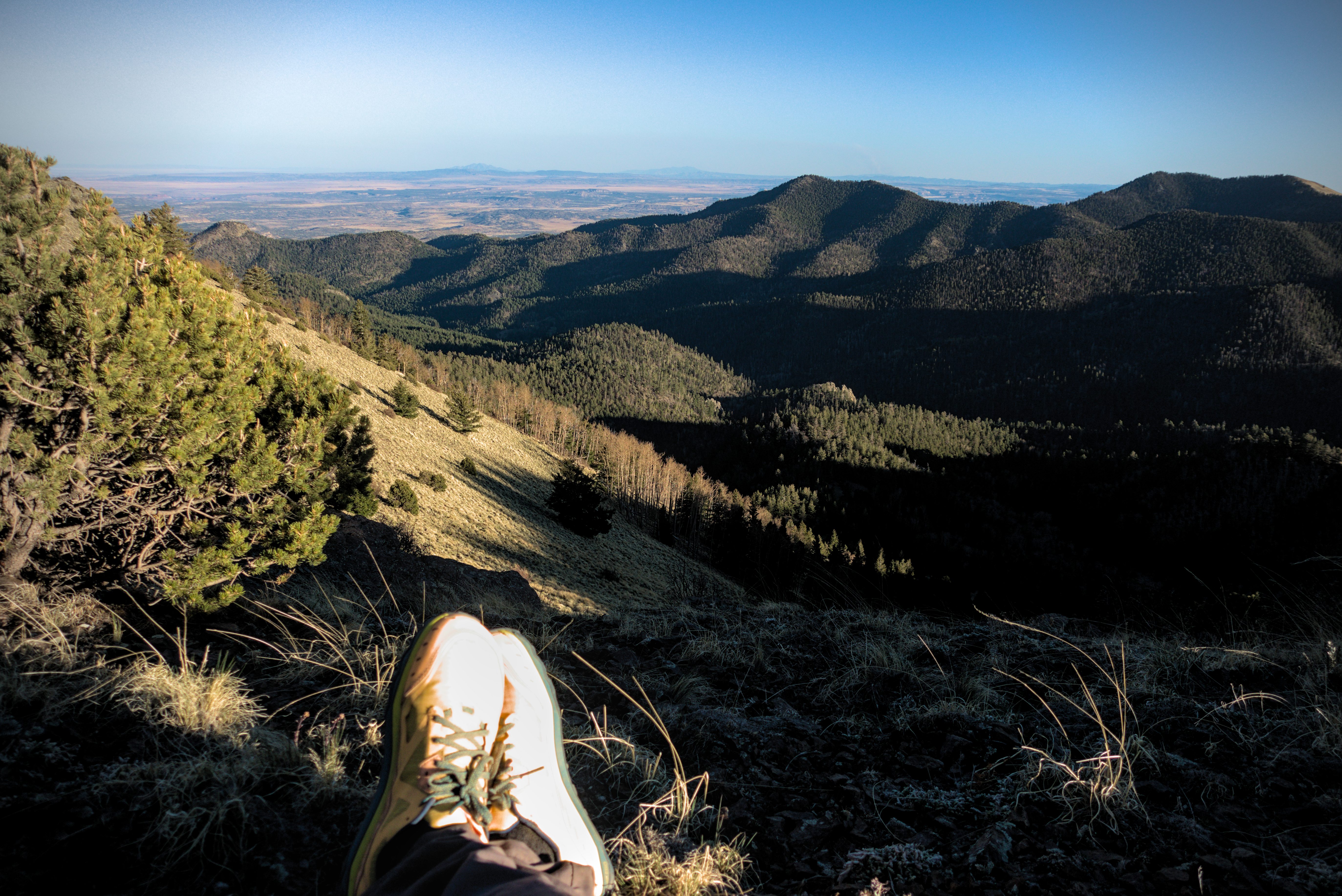
I started out first, and enjoyed the climbing in the chilly air.
Morning above our camp at the base of the mountains.
Now this was the most alpine forest so far, putting the previous high islands of Burro Mountain and Mount Taylor to shame. It was a parkland. There were snow patches in the forest, sometimes rather annoying ones!
By the San Grigorio Reservoir.
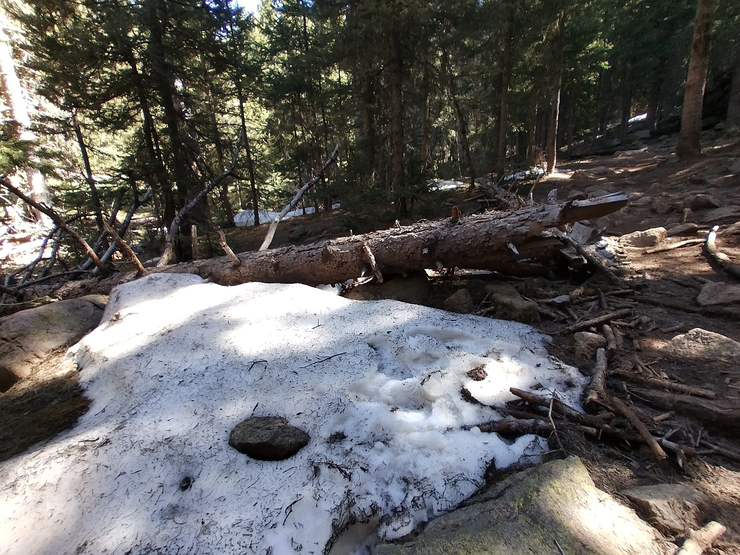
First snow of the trip!
Lemonhope in the San Pedro Peaks Wilderness.
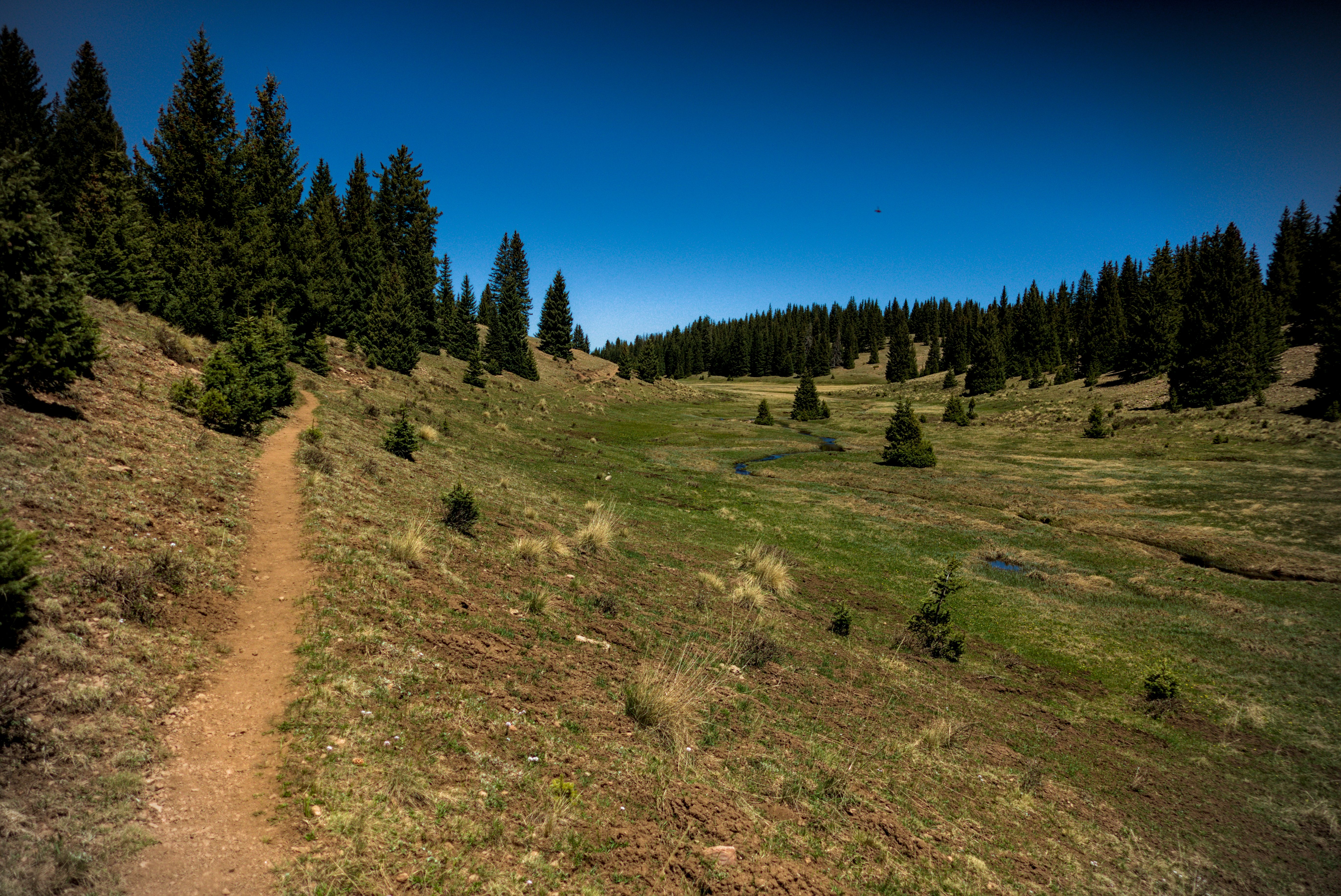
Real parkland, which felt amazing to walk in.
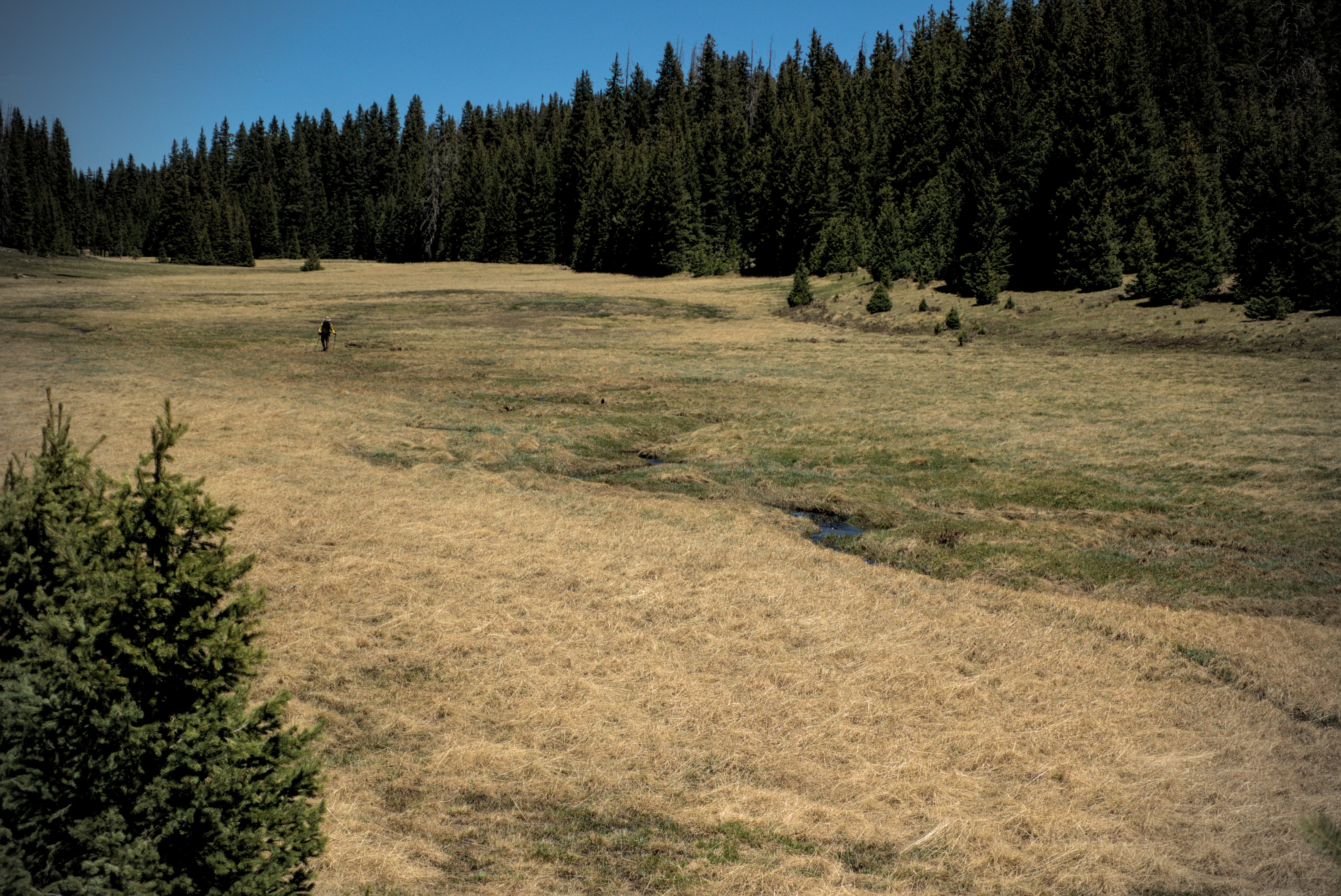
The country finally reached a high point of about 10500 feet in the San Pedro Peaks Wilderness. After this, a long descent to Cecilia Spring, where I rested tired feet and joked with Shotgun, Critter and Lemonhope. Critter thought that one of us must have surely littered somewhere along the way. If I recall correctly, my response was to drop innocent little anecdotes which included some shocking detail about how I defiled some wild country either with litter or some kind of inappropriate eliminatory function. But she was sharp, and caught herself just before reflexively delivering a lecture! This is actually the most fun...to try and "wind someone up," having sussed their proclivities, and hoping to lure them into the unthinking delivery of a lecture to the foolish babes around them!
Hee hee, I did succeed in getting Mishap to do that a few times, later on!
A hiker in the parks...
Lemonhope in high country.
The three of them continued, but my feet had enough and so at the first wide, flat spots in open forest, I hove off to camp in the trees.
May 18, day 28 - 19 miles
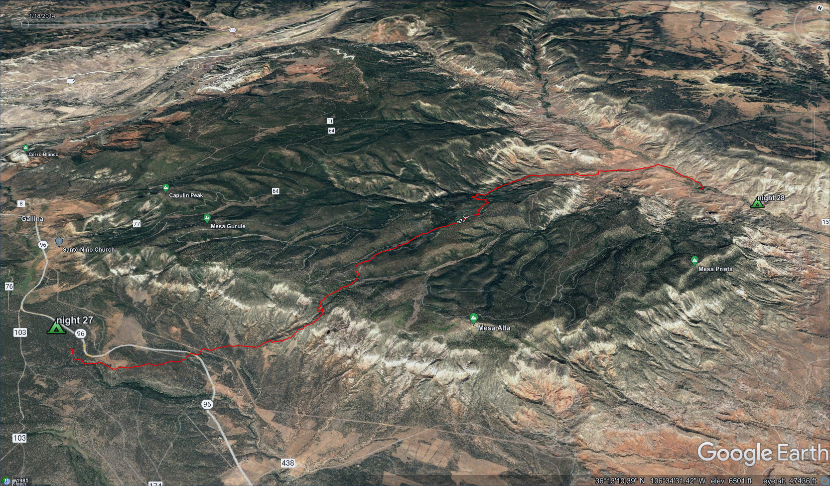
Coming down, then up into parkland again, then back down to desert and a
mighty river.
I came down from my camp and crossed highway 96. People on the Guthooks app had complained about wild dogs along that road. I didn't see any.
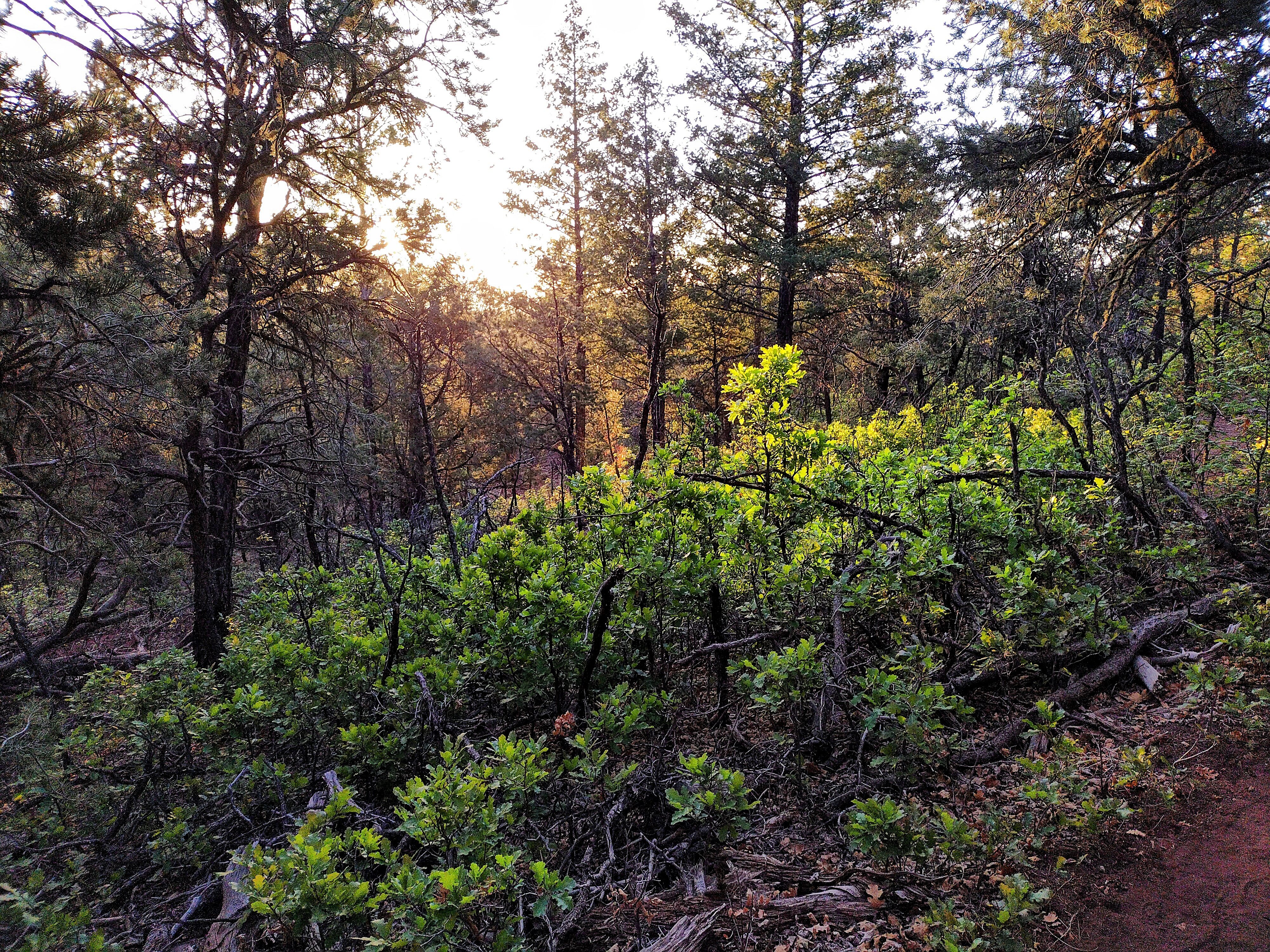
Greenery in the forest at 6:15 in the morning.
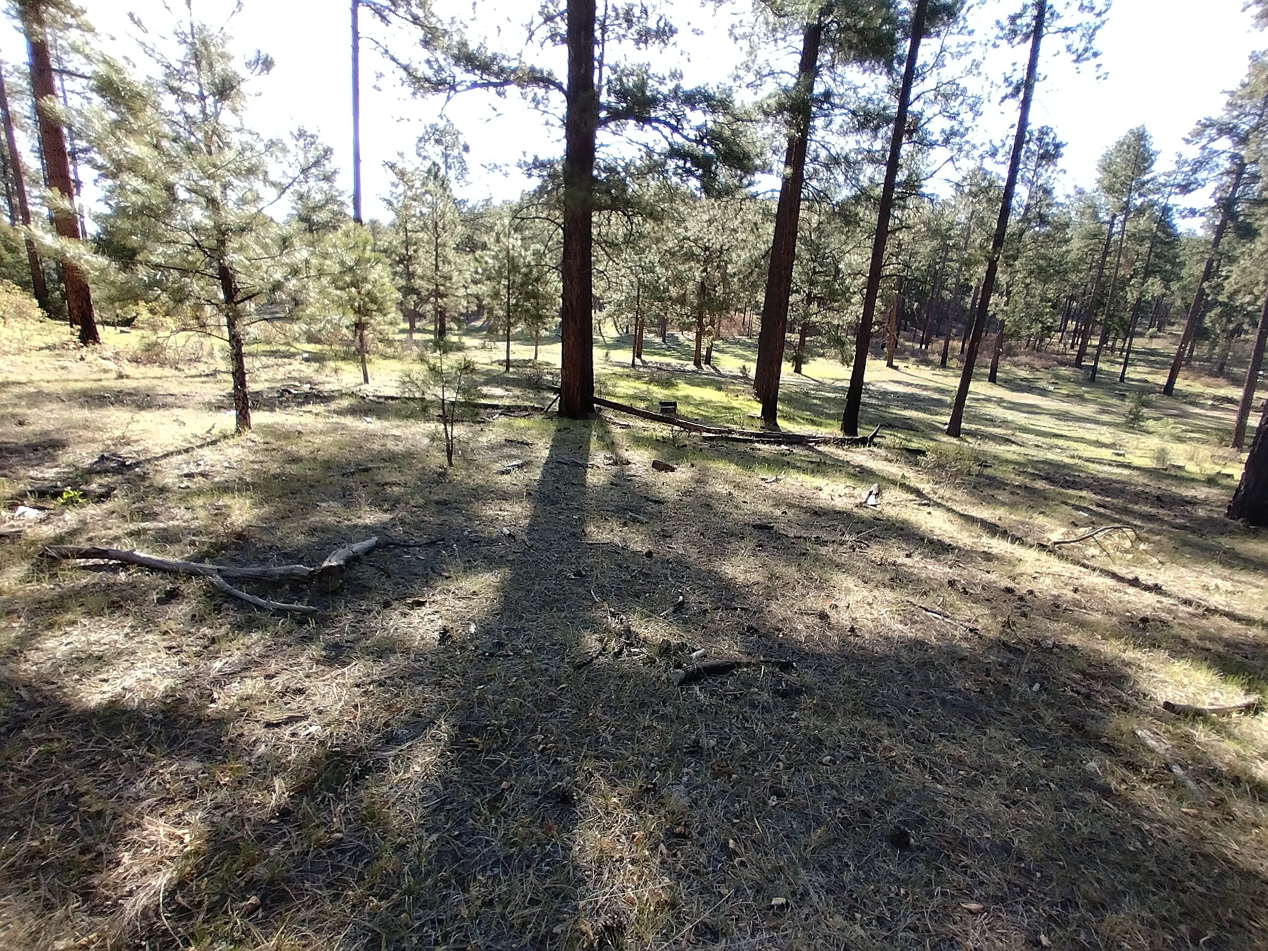
I liked this widely-spaced forest country.
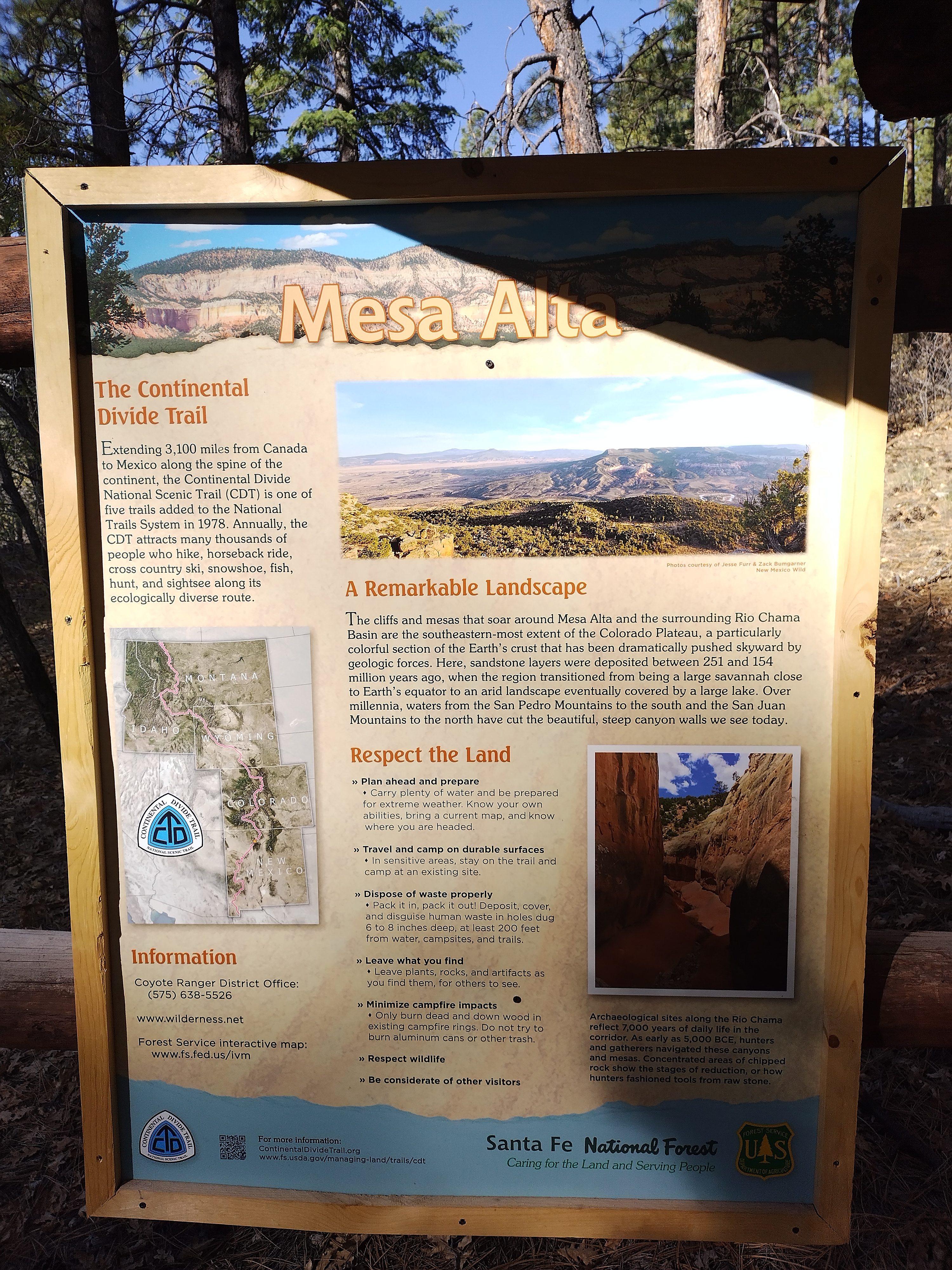
In the Mesa Alta.
There was a 1000-foot climb to get up onto the next forest park plateau, which I enjoyed. Up there, I saved a mile or so by switching to some forest tracks to avoid a pointless roundabout on the official trail. I got water from a tank guarded by cows.
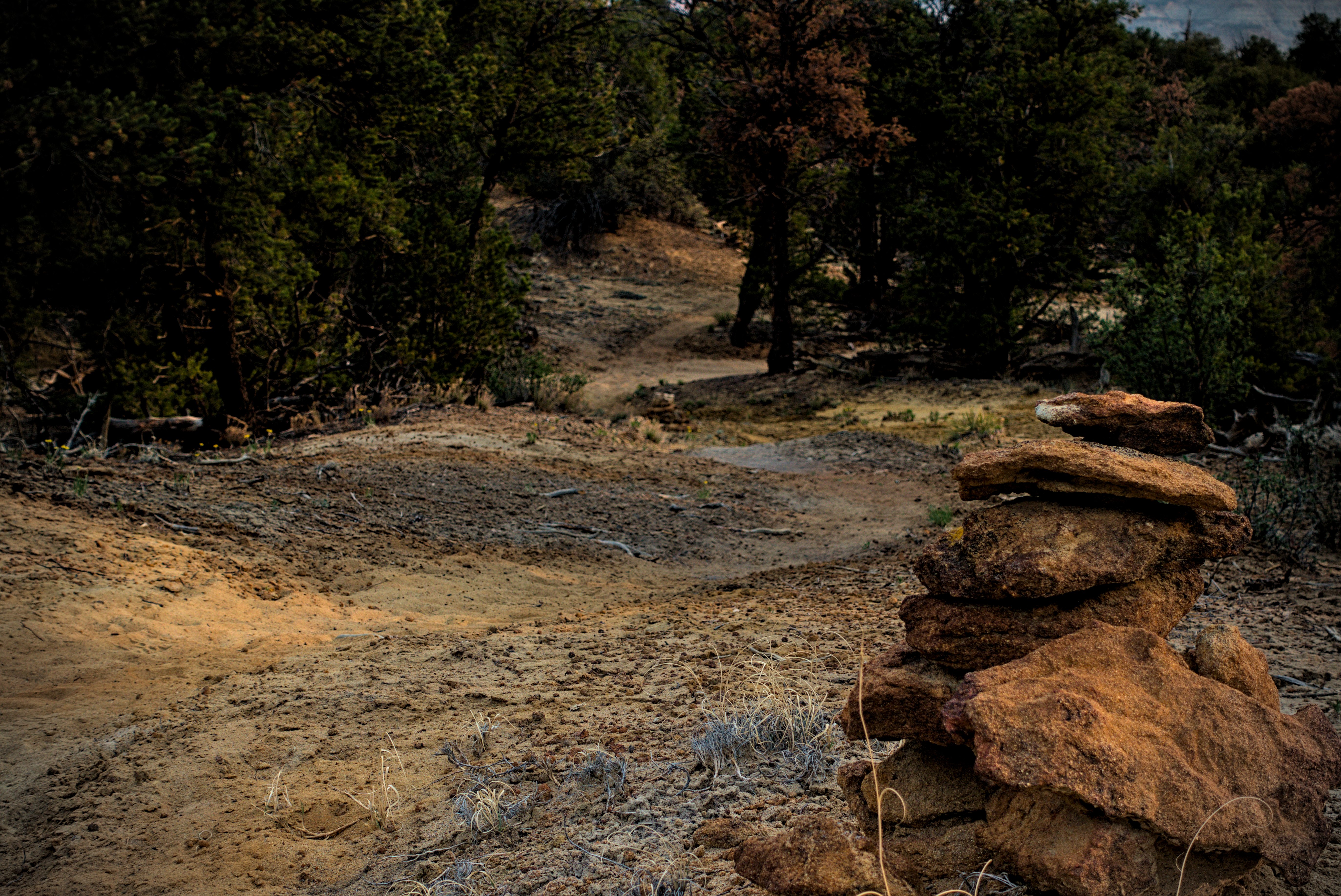
After a few miles along a dirt road going north, I turned off to follow the trail steeply down into Ojitos Canyon. It was an interesting place. I was in extremely narrow little gullies, wide enough for two people to travel abreast, but also choked with ping trees, usually scarred by fire.
In fact there was no wind in here, it was quite hot. I could easily imagine fire snaking through these canyons. Sometimes there were little streams or pools, and I had to walk through them (they were not deep enough to make my feet wet), making tight little turns in the labyrinth.
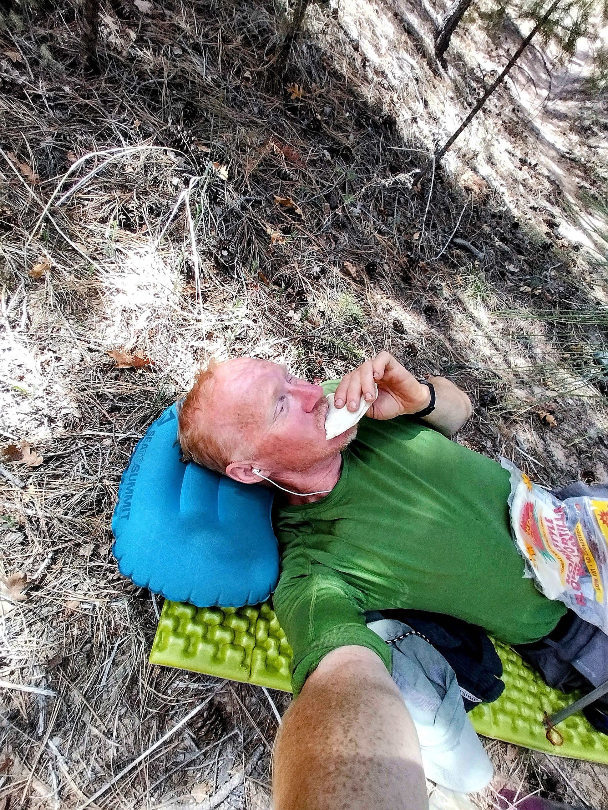
Lunchtime on the forest floor.
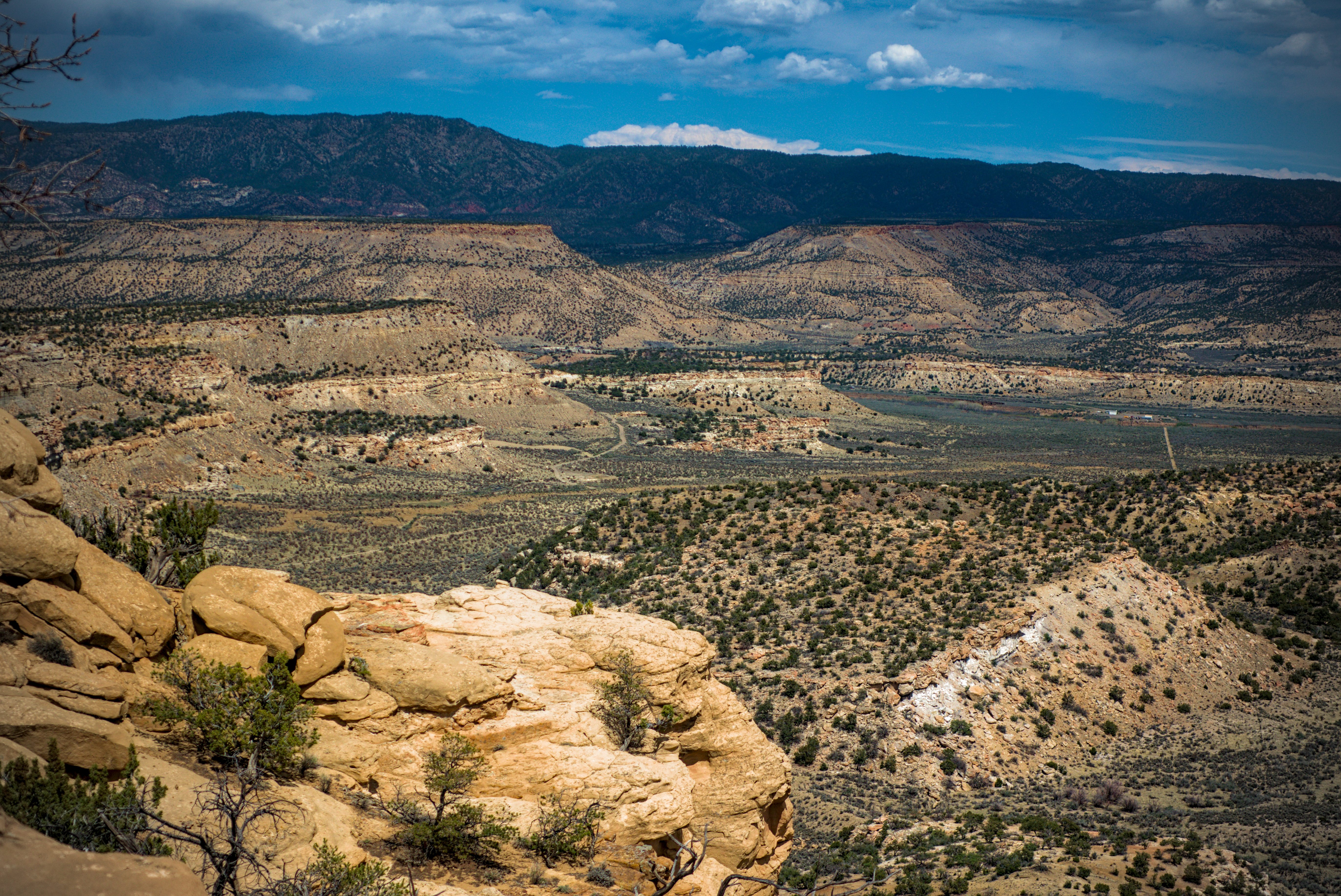
Coming down into the Chama River country.
After a long rest in the forest I came out to a spring and desert country. I met a cowboy who asked if I'd seen any cows up in there. I said no, not since the cows many miles back and much higher in the parkland. He said that when water becomes scarce, the cows spread out and end up in all kinds of strange places. He'd been looking for two days, and would go on looking.
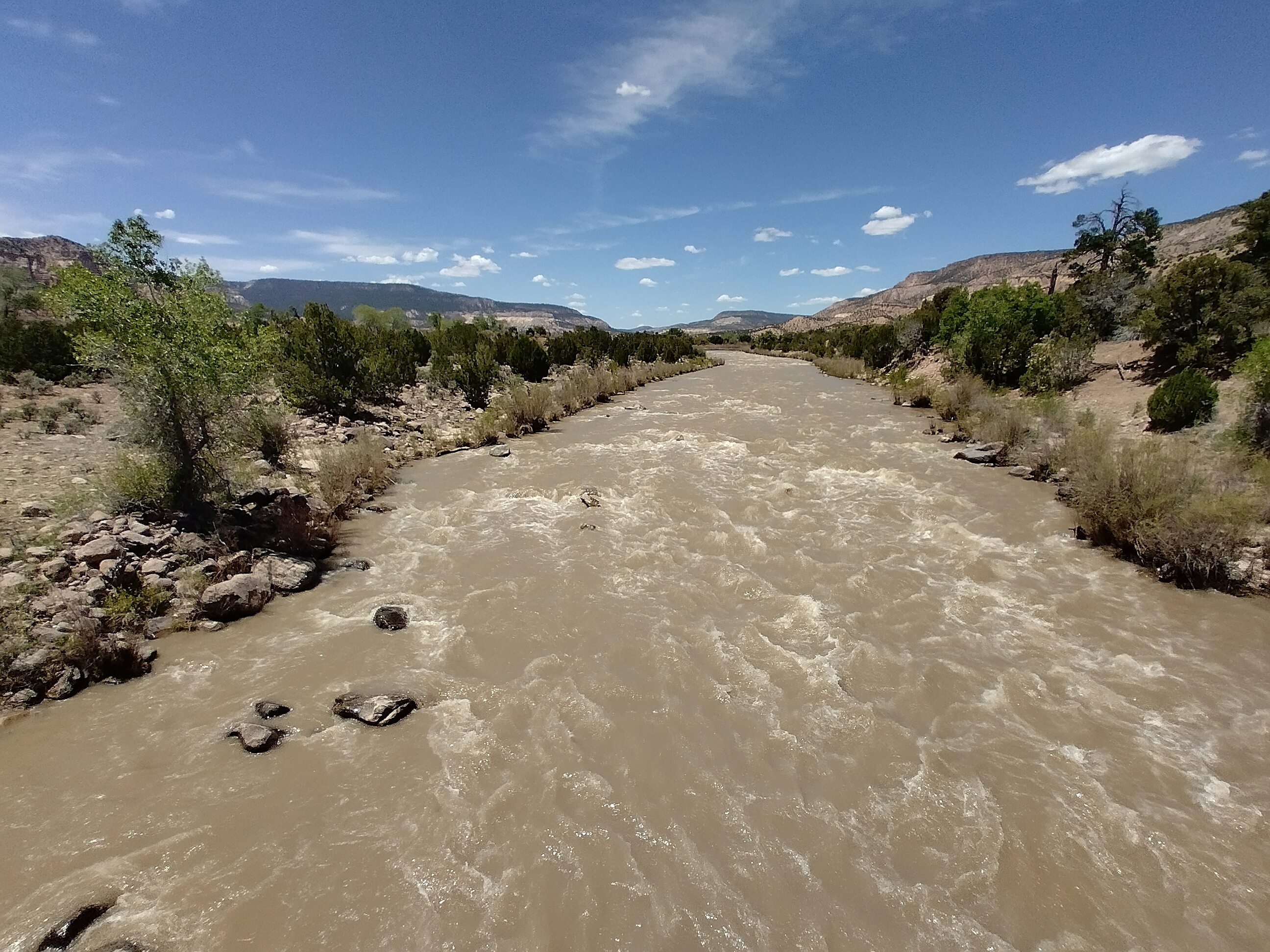
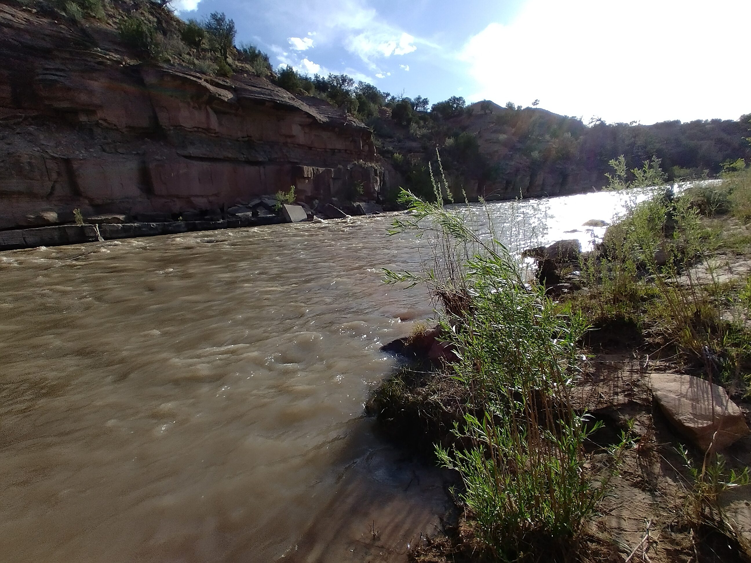
This is the first time I saw such a mighty river on the trip.
I came to the Chama River at the Skull Bridge. I simply couldn't bring myself to make it a 30 mile day and reach Ghost Ranch tonight...the feet hurt too much.
Evening, bathing in the river.
So I decided to call it quits early and set up in an official campground for probably the only time on the whole trail. There was no one around. I could take a bath in the cold water, which nicely offset the hot sun.
May 19, day 29 - 11 miles
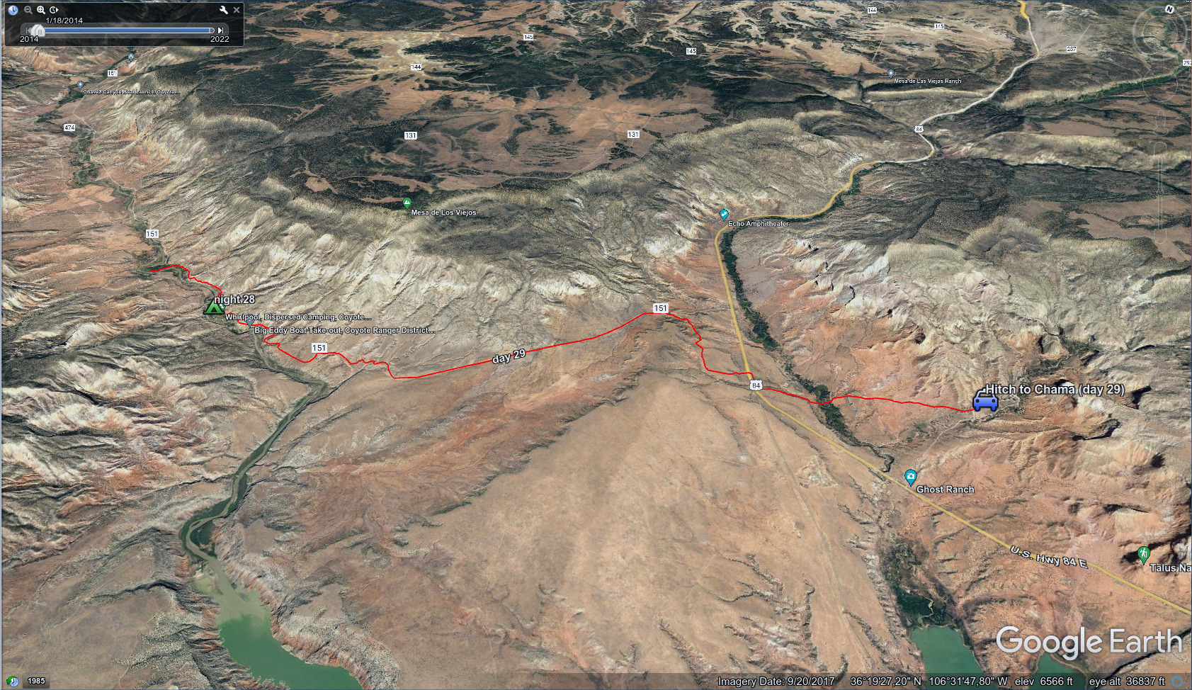
A short day, from the river to the Ghost Ranch.
It was a nice walk in the morning. I knew I was risking having to leave the trail by not hurrying through the night before. But quality is more important than quantity. Having a bath in the river and ending the day well yesterday was worthwhile.
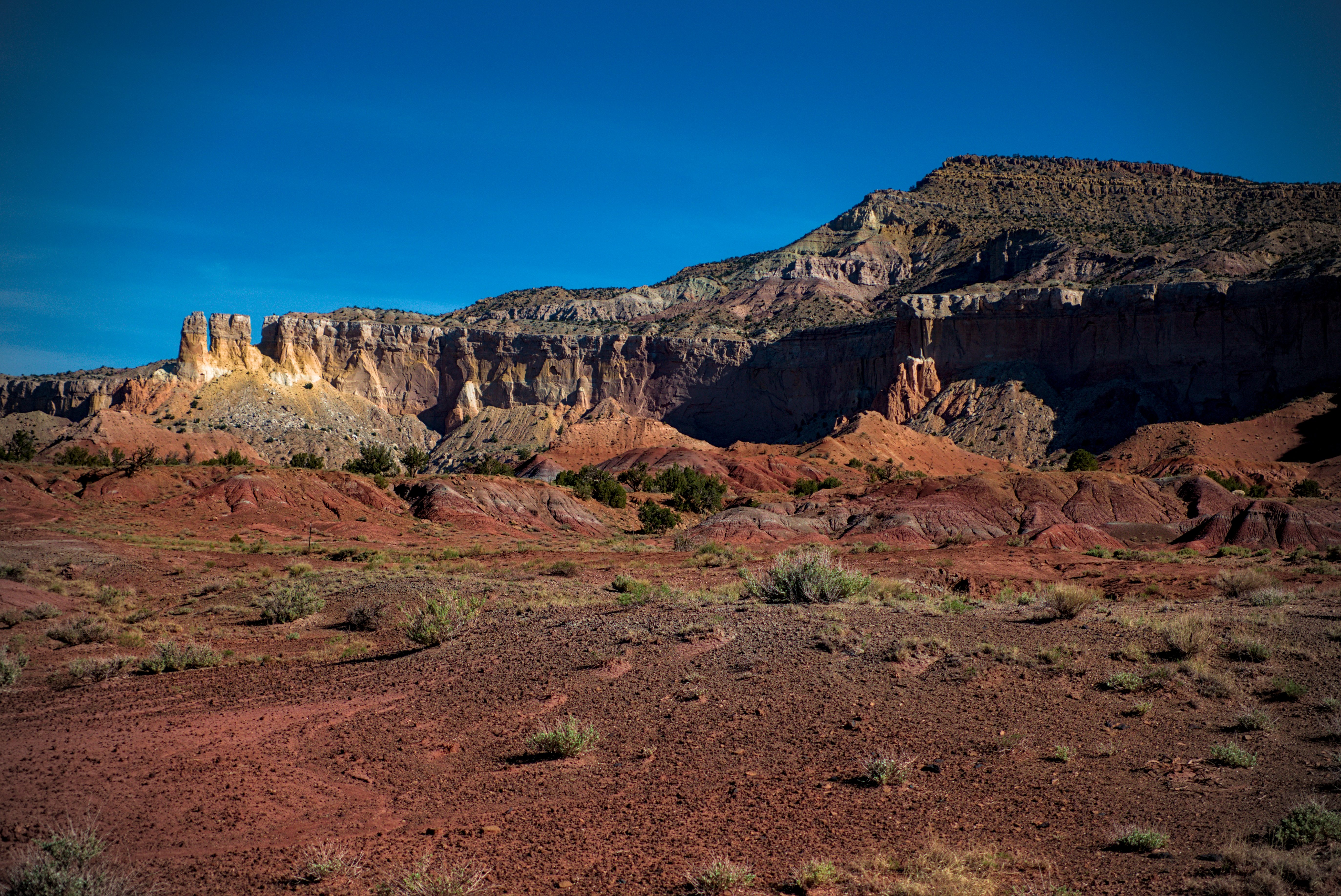
The Ghost Ranch country.
After a couple hours of walking, I was able to go across country and down to the highway in order to save a couple miles. I ended up at a strange abandoned amusement park, and followed a twisty path across rusted bridges and through at least one abandoned building to reach a trail snaking off behind the rusted structures that led to the Ghost Ranch, again, saving at least a mile of road walking. Very interesting!
I arrived to find an artists retreat, with lots of clean well-dressed people who looked very important. But taped to the front desk was a sad piece of paper:
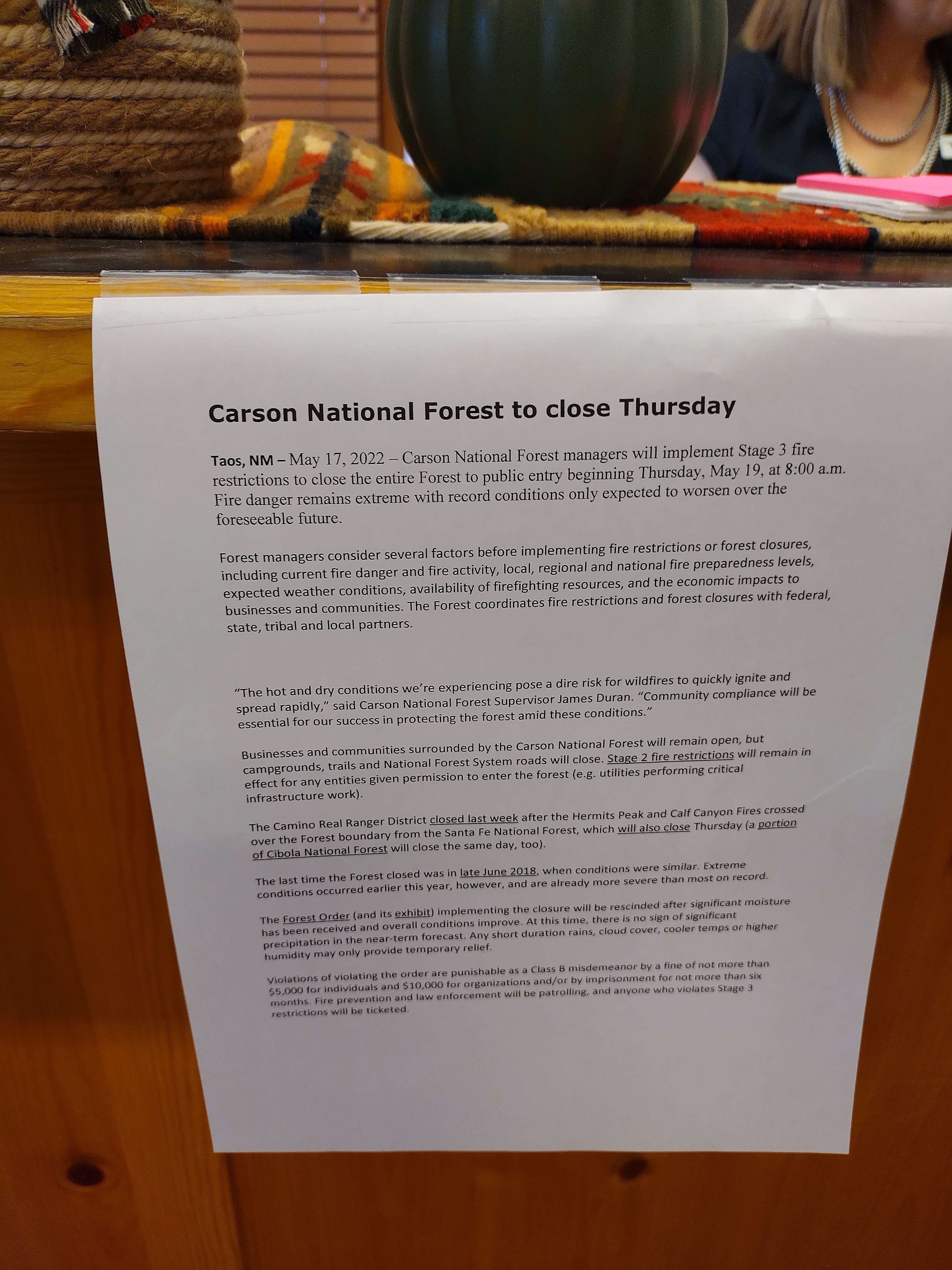
The heartbreaking letter that meant I couldn't finish the walk through New
Mexico.
Lemonhope had just got into the forest the night before, so his urgency paid off. We knew that this region wasn't in danger, they were just closing all forests in the state. Oh well, at least I got to hike in the San Pedro Peaks country, which was delightful.
From the blog:
I arrived at the ghost ranch to pick up my food resupply, enjoy a shower and washing machine only to find that the forest service has announced that all forests in the state are indefinitely closed.
I got a ride from a nice older lady with a small daschund... She also fit the Czech couple Fuego and Master Chef in, along with the Britisher Blink.
Now I'm in Chama, sharing a room with fellow hiker The Jesus. I've got equipment coming here in the next days. It's very tough to find a place to stay... People are doubling and tripling up. Soon hikers from lower in New Mexico will begin streaming into town, as this is the gateway to Colorado.
So...I didn't achieve my goal of walking all the way across New Mexico. Some admirable people are waking the highway for 120 miles in order to maintain a continuous footpath across the state.
Me? Well, I got into those higher mountains a few days ago, and found I have no desire for that. I'll take the loss, rest the body, do some writing and meditation, which I've really missed... And start up again at Cumbres Pass in the mountain state.
"The Jesus" is an extremely strong hiker, who later did some trail magic deep in the Southern San Juans when people were limping out after snowstorms just before my walk there.
May 20, day 30 - 0 miles
And so began a week off the trail in Chama. Resting for Colorado! I moved into an AirBNB.
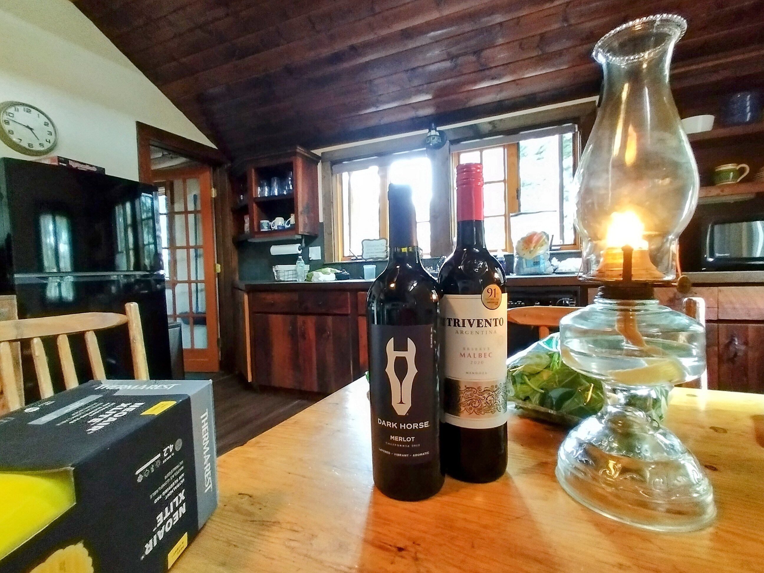
You can see a new sleeping pad on the left for the snowy ground of Colorado.
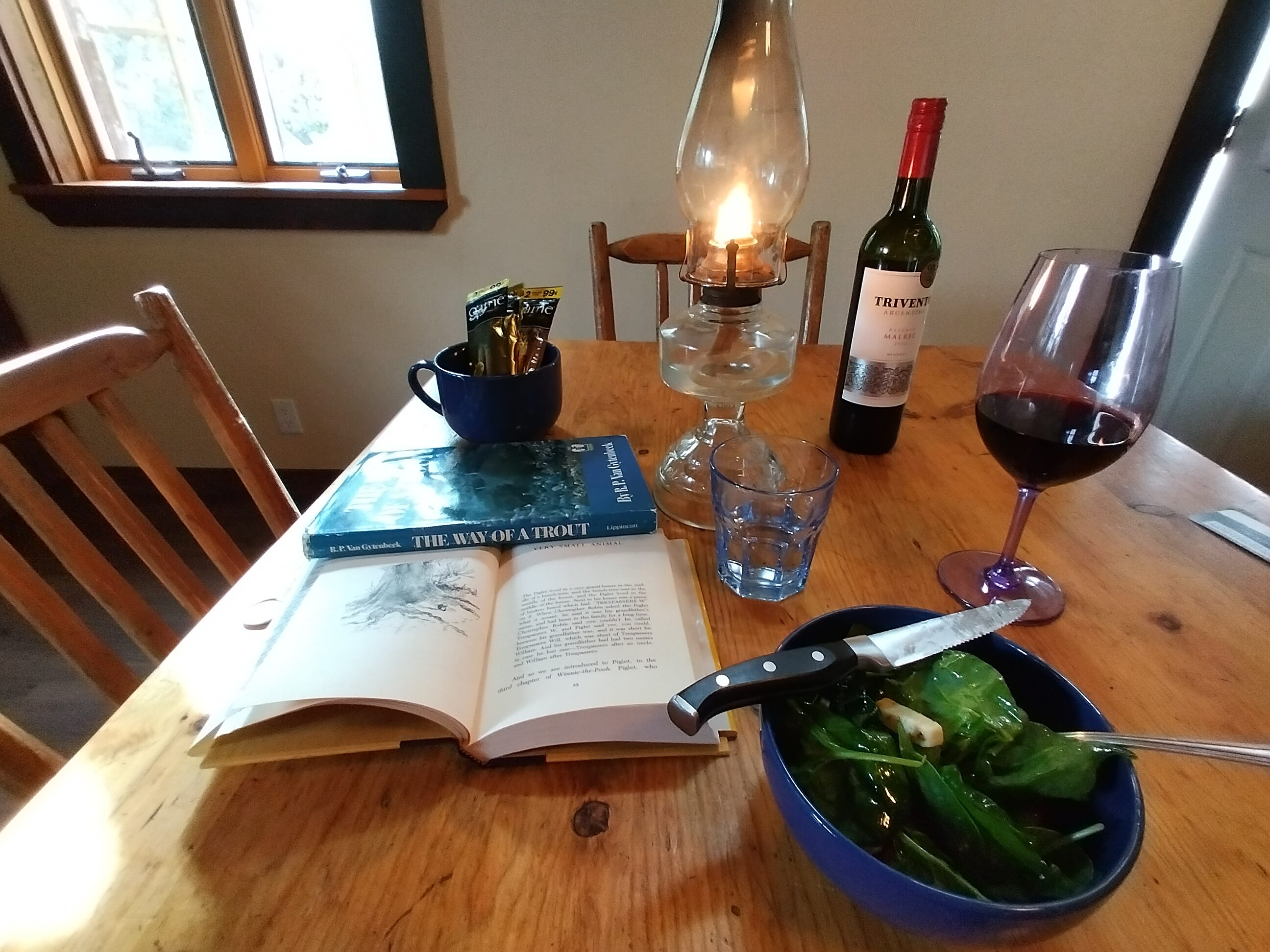
I ate well every night.
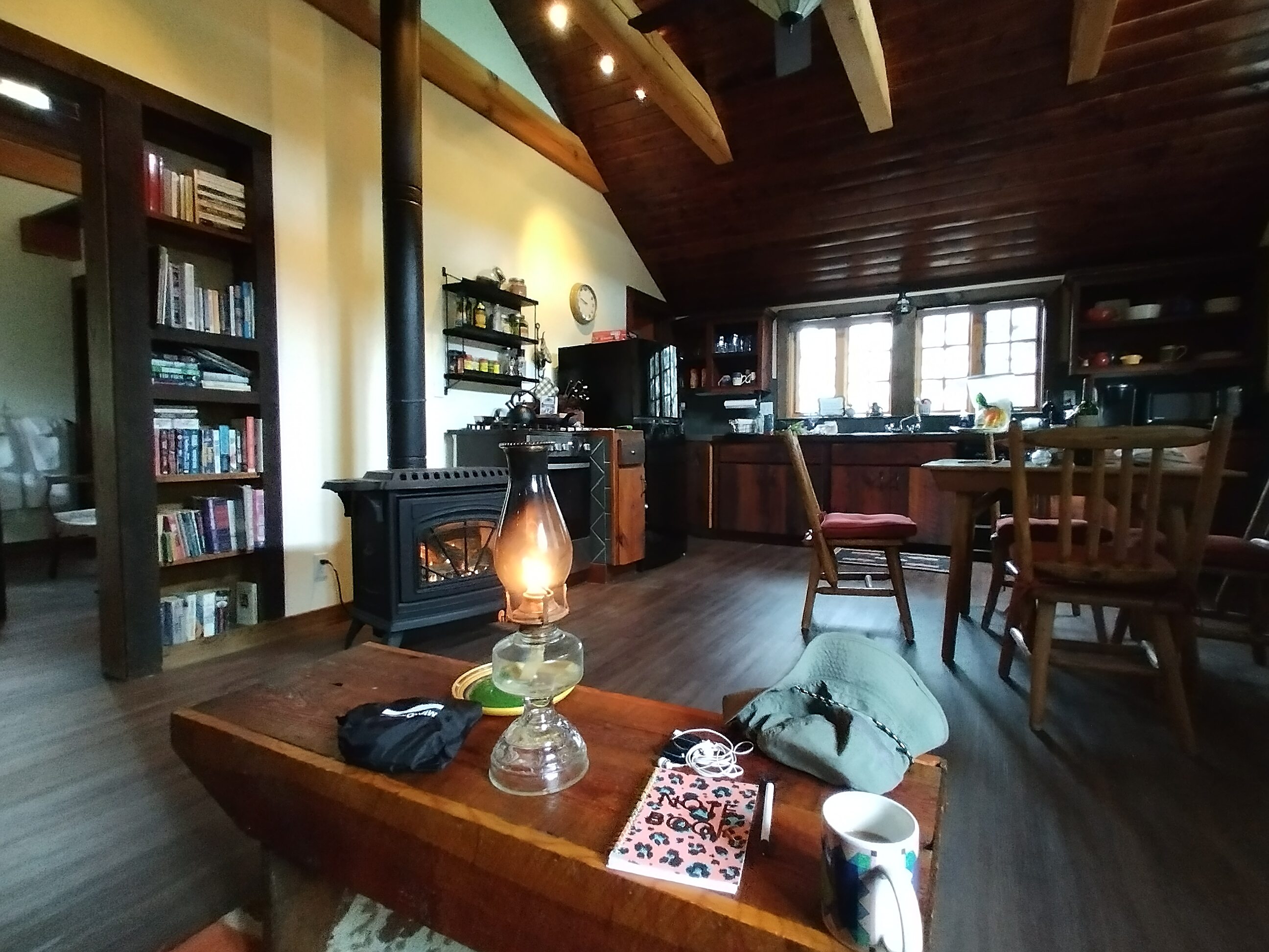
My place in Chama. It was hard to leave!
At one point in Chama I wrote a book review for the Tao of Piglet, a charming little book I liked very much!
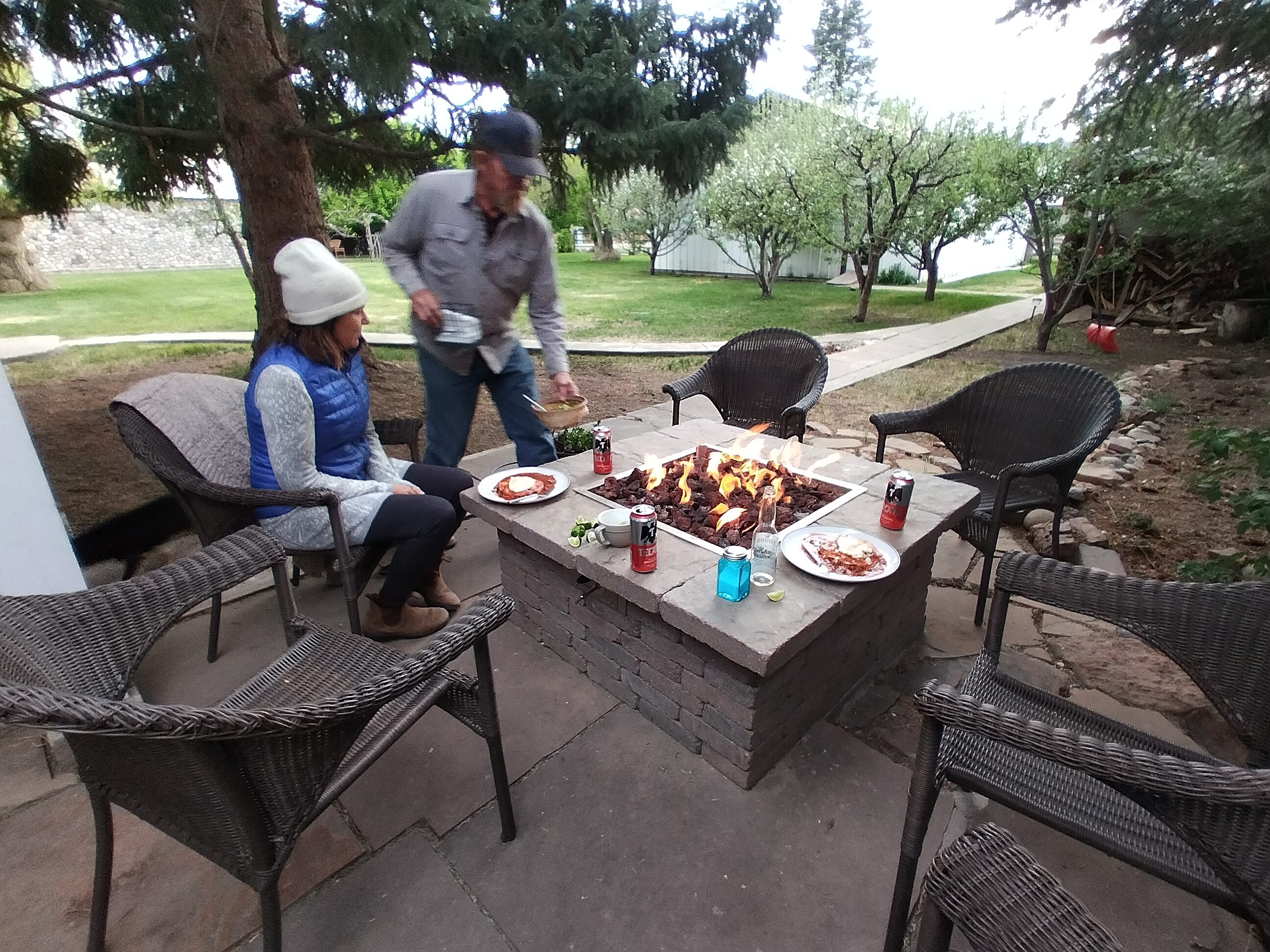
A wonderful dinner with my hosts in Chama.
To go to days 35 and after, where the journey enters the San Juan Mountains of Colorado click here.