CDT - The last bits
Friends: Only God!Location: Steamboat Springs, Berthoud Pass, Mount Flora, James Peak, Parry Peak, Rogers Pass, Rollins Pass, Junco Lake Trailhead, Junco Lake Road Hitch, Roaring Fork Ranger Station, Stanley Mountain (Spirit Door North), Albuquerque, Ghost Ranch, CDT Night 153, CDT Night 154, CDT Night 155, Cumbres Pass, Winter Park, Chama
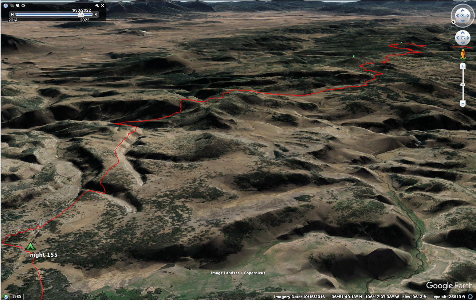
Elevation gain: 7514m = 1142m + 1105m + 936m + 649m + 0m + 0m + 1407m + 578m + 1246m + 451m
To go back to days 150 and before, click here.
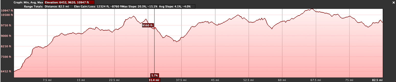
86.5 miles, 12,570 feet elevation gain for the New Mexico section.
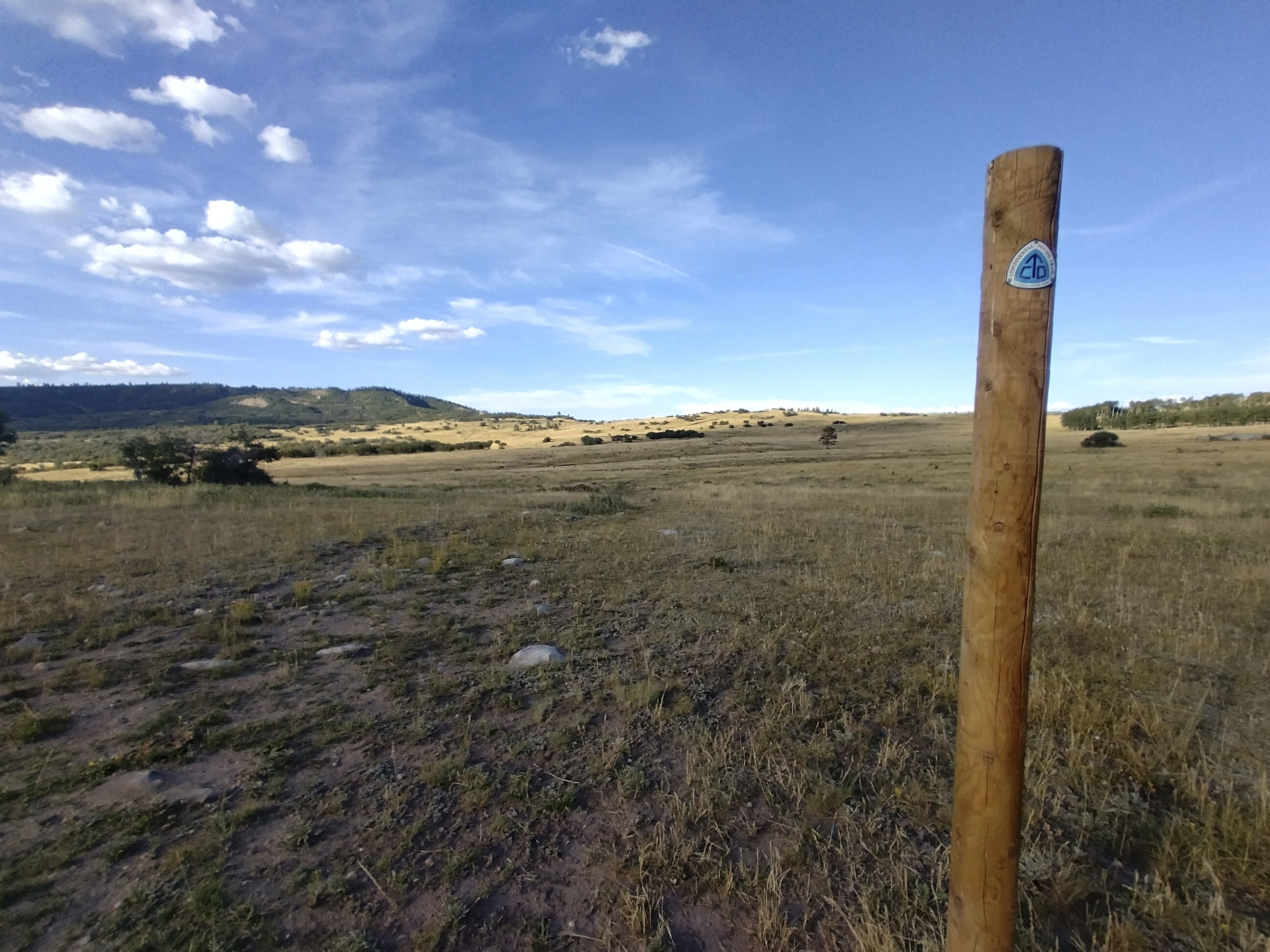
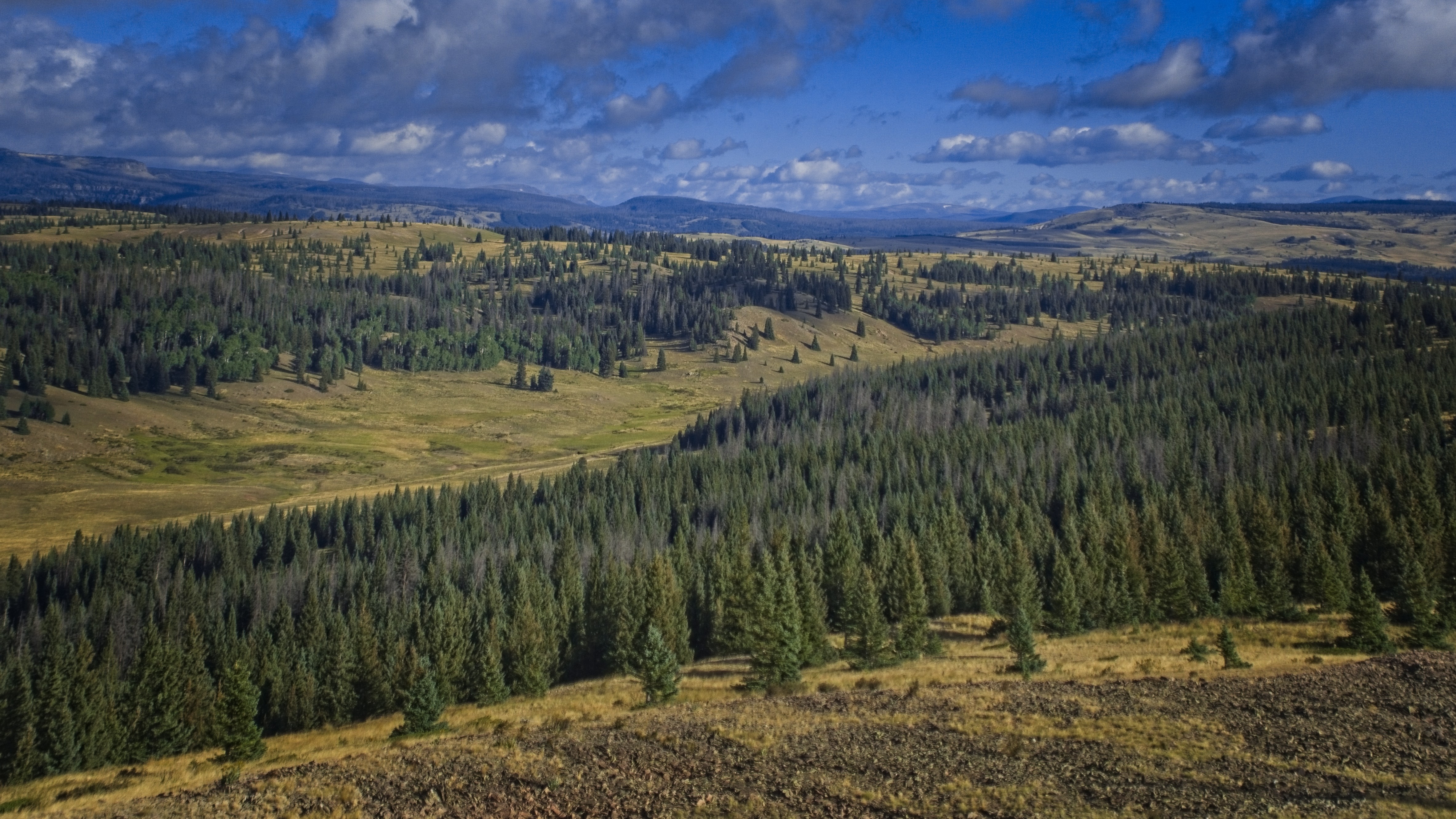
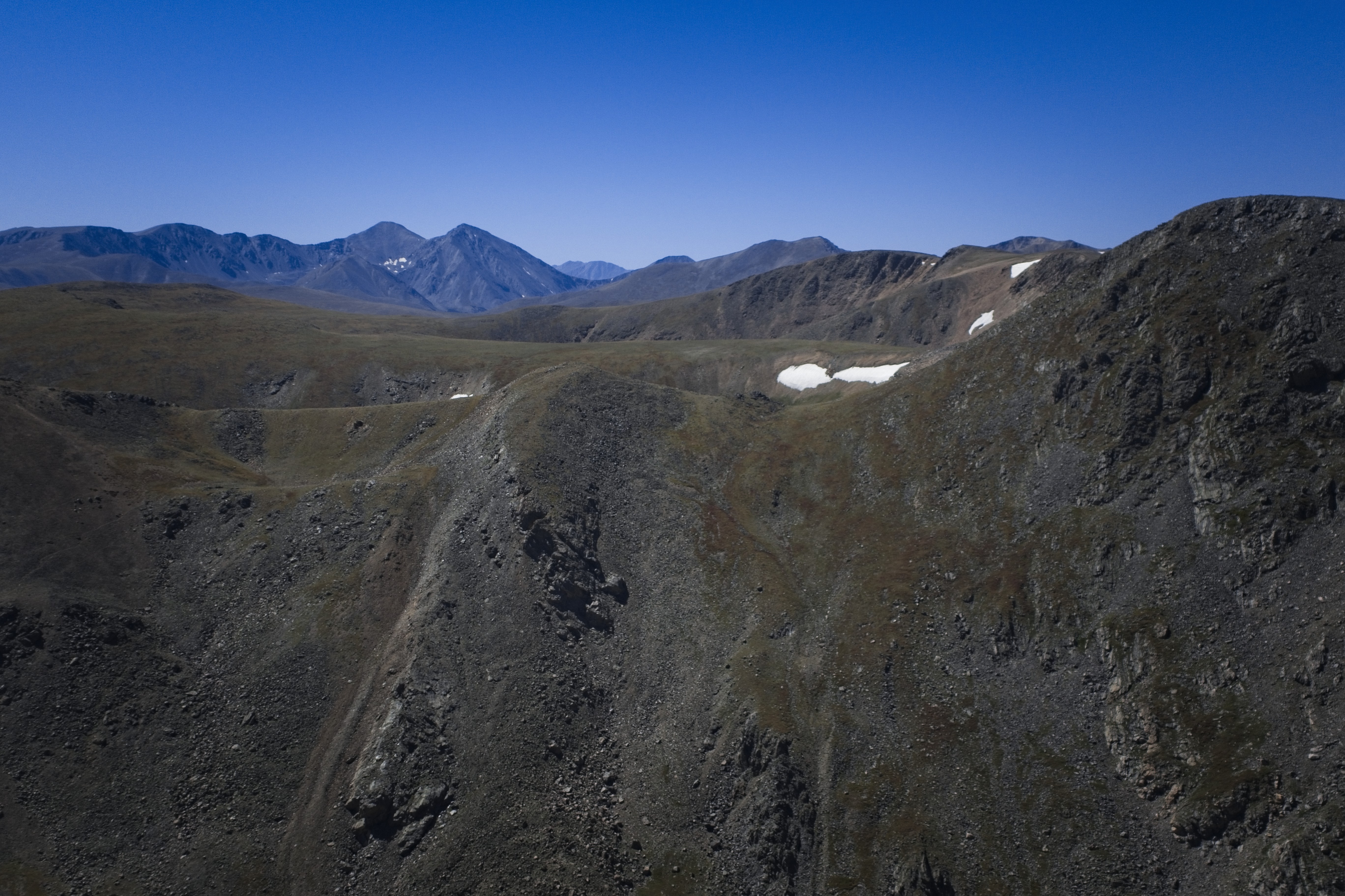
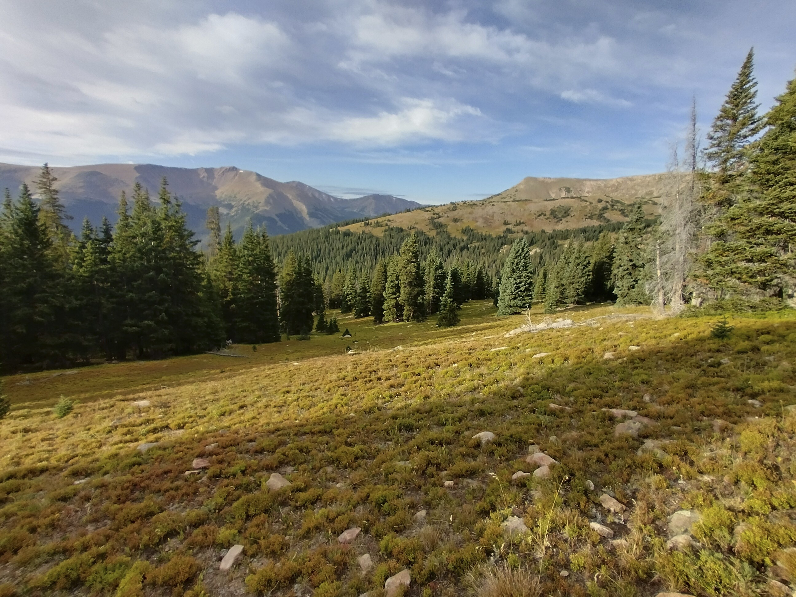
I didn't create a segment diagram for the last hiking in Colorado because it was mostly day trips (with one exception).
The text below refers to the same events as the blog entries:
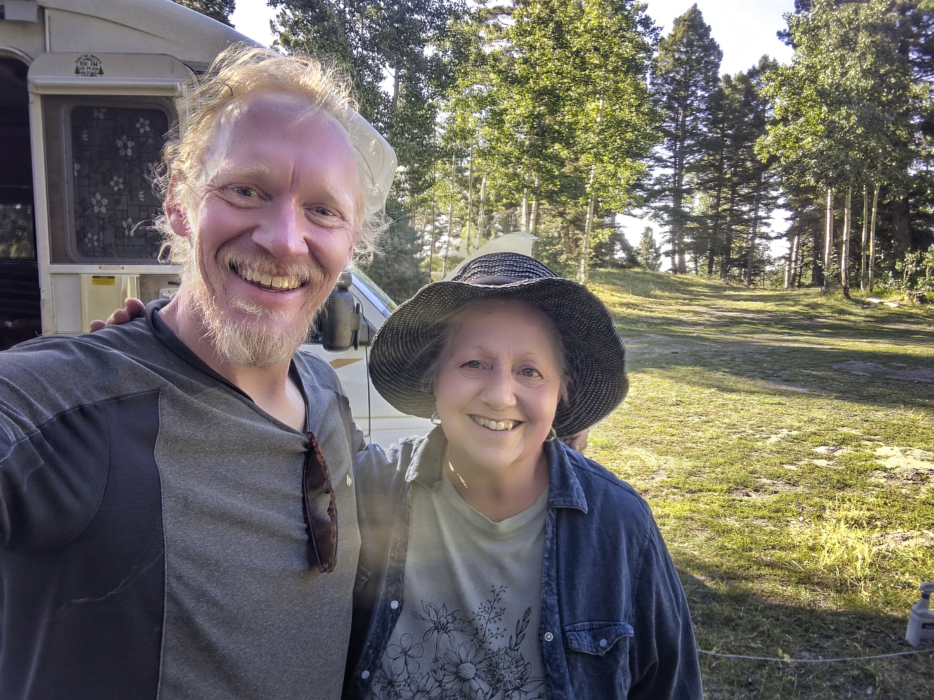
I arrived in Steamboat and looked for a place to stay. The easiest was to check into where I stayed last year (despite the expense). Let's do it. Then I can take the bus to Denver in the morning and figure out how to get down south into New Mexico.
This worked out well. I love the bus ride from Steamboat Springs, because you see a lot of CDT country in the distance. Once in Denver I checked into a hotel downtown. I tried to find the best way to get down south, finally settling on a plane ticket to Albuquerque the next day. Beyond that, I did laundry and ordered take out, enjoying my rest day.
As it turned out though, it would be an exhausting journey to Albuquerque. My flight was cancelled. Then I hung around in queues with other people. Many were considering renting cars and I was part of several schemes to do so (all of which fell apart). Finally, I was booked on another airline. I worried about my pack in limbo somewhere.
What should have been quick turned into an all day affair.
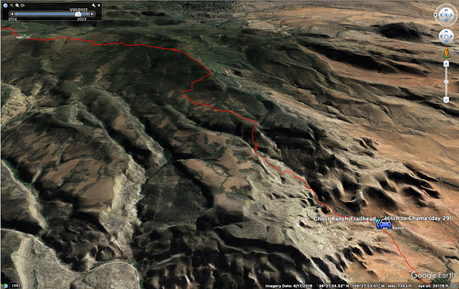
By the time I arrived in Albuquerque, the only thing I could do was get a cheap motel and take an Uber to Walmart in order to buy four/five days of food. I hired an Uber shuttle to get me to the Ghost Ranch in the morning.
Oh, I did have a positive encounter. I left my phone in the taxi from the airport, but the woman at the motel helped me find it. At one point she called my phone, and the taxi driver picked up. They then brought my phone to the motel. That was really nice!
I also quite liked the Uber driver who brought me back from Walmart. An Indian (as in the subcontinent) guy who works two jobs. He said Covid cost him a lot of money. Somehow he was a very peaceful man.
September 1, day 153
18.6 miles, 3750 feet elevation gain.
The Uber driver was really cool. His father was a traditional Pueblo artist. He worked with Georgia O'Keefe, making something called "encrusted straw art," with the sap of pinon trees. They called the straw "Poor man's gold" when it was so treated. He also was very religious, and engaged in fasting and other traditional practices. For the driver, it was great to come up north to where his people are from. So he enjoyed the drive too.
We said goodbye at the Ghost Ranch and I went inside the main building briefly to fill my water bottle. I then left quickly, because somehow the relationship between CDT hikers and the Ghost Ranch has apparently soured. Earlier in the summer, some CDT hikers dishonestly reused meal tickets to feed their friends without paying. Now hikers aren't allowed to purchase food or visit the dining hall. Really sad, but there is always friction between nomadic and settled populations as the history of New Mexico makes clear (read Blood and Thunder).
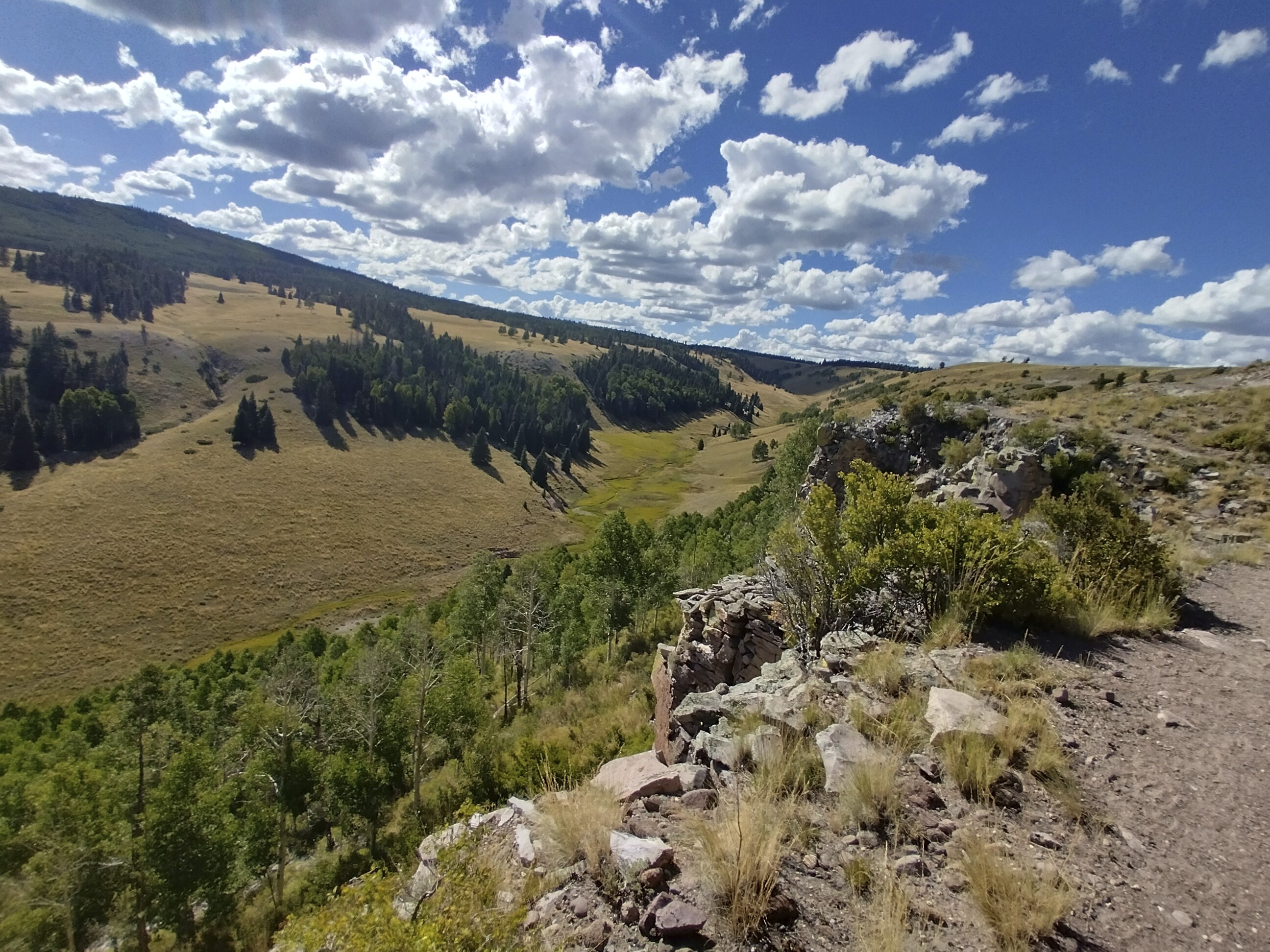
Some nomad gives in to a bad impulse, then the settled people have their suspicions confirmed. Oh well... I escaped without incident. Soon I was creeping through narrow gullies, the pack weighing me down with four days of food and two liters of water. The trail climbed out of the canyon to a hot, windless chaparral of sagebrush and cactus. Before I knew it, I had a dozen cactus spines in my left hand. I've clearly forgotten how to hike in New Mexico! I picked them out and continued, gratefully ducking into pine forest after a couple uphill miles.
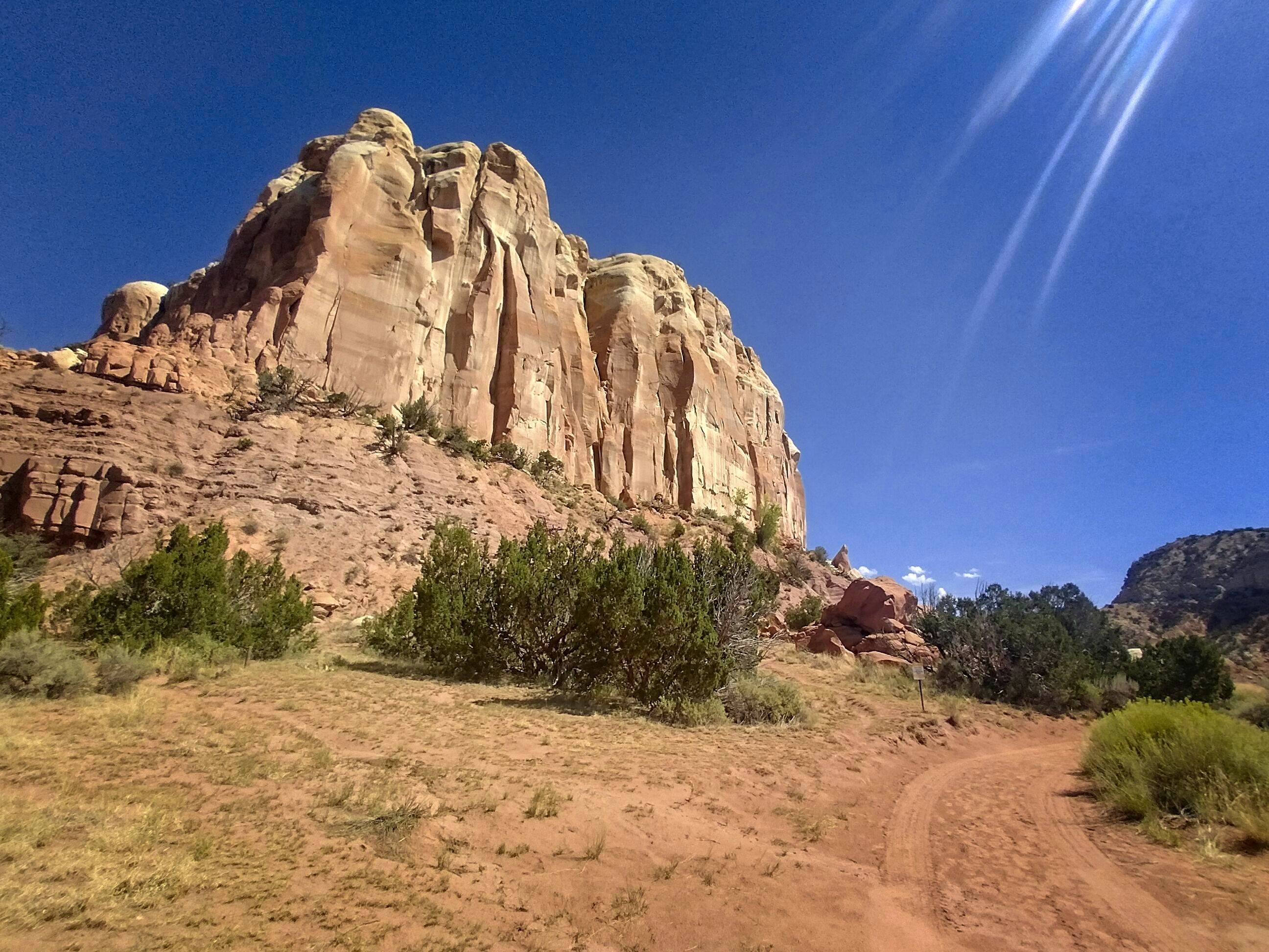
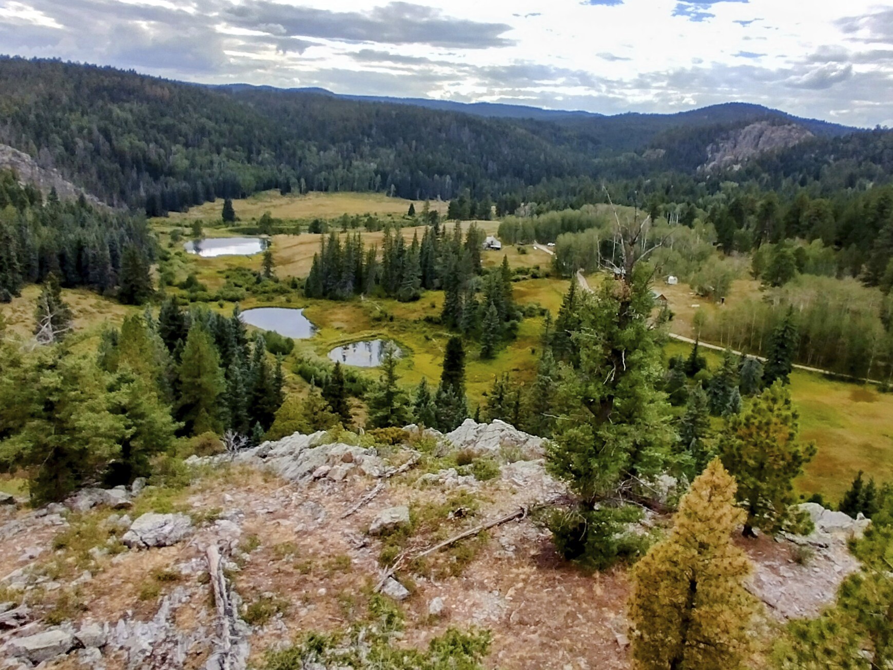
Glorious cliffs on the Ghost Ranch property.
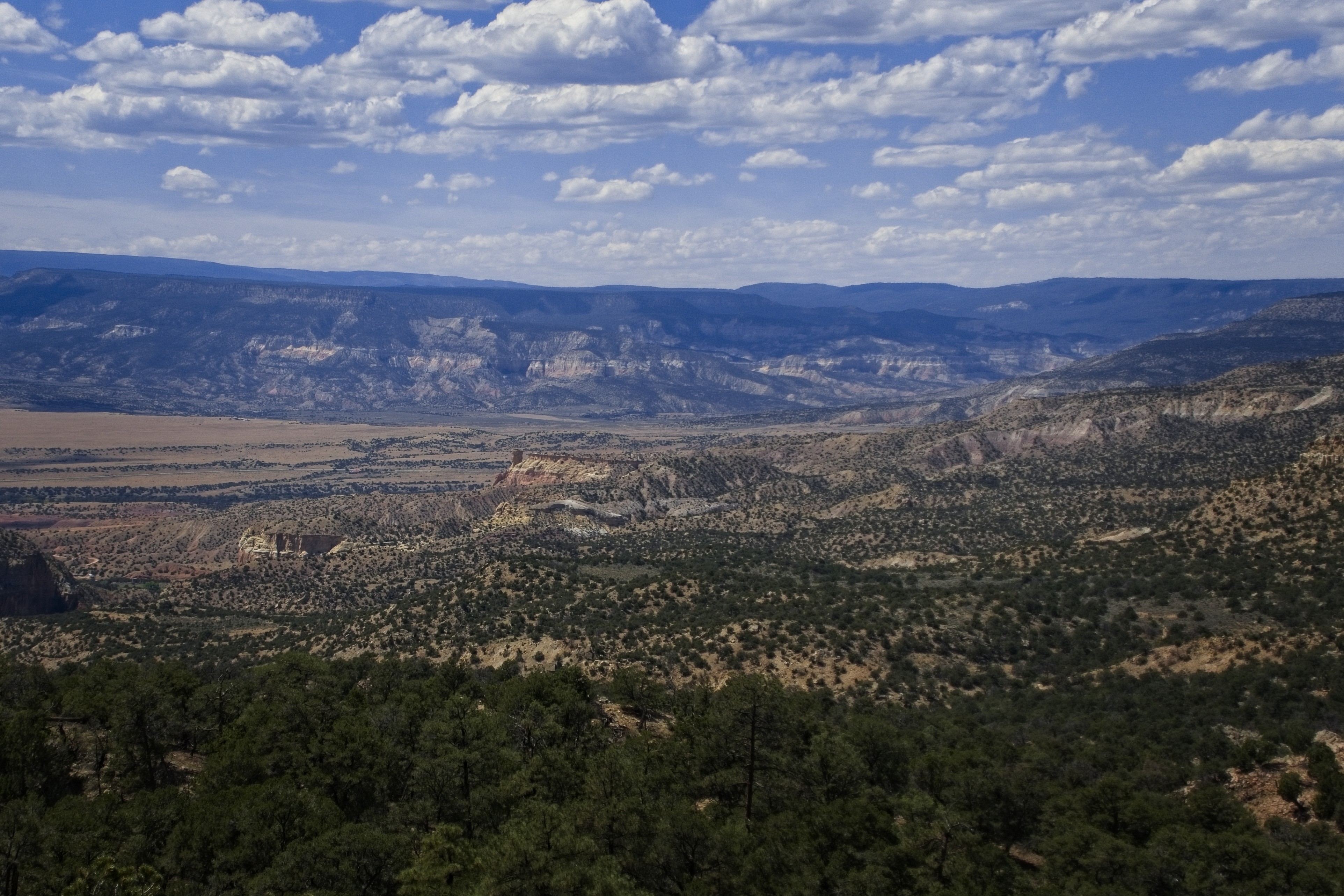
Looking down into the Ghost Ranch from higher country.
It was amazing to suddenly be in the rather forbidding New Mexico desert country. I hiked through a canyon, and had to use my hands and scramble a bit to get out of it. Later, I stuck myself on a cactus -- ouch! I had enough water to reach a spring in the early evening, but no more. I climbed up out of canyons into forest.
I was pretty happy today in that "taking care of old business" way. Because I'd always planned to come back and finish this stretch, and now I was doing it. I also like these high, dry forests. I got onto a ridge with some good views out to the east. Coming down from there, I hit a dirt road and a few families came by on 4-wheel-drive vehicles, with bows and arrows strapped all over. Pretty cool! I learned that bow-hunting season would start in the morning. Folks were figuring out where the elk are, I guess.
Near the end of the day, I got good water from a spring.
Crossing open country in the early evening.
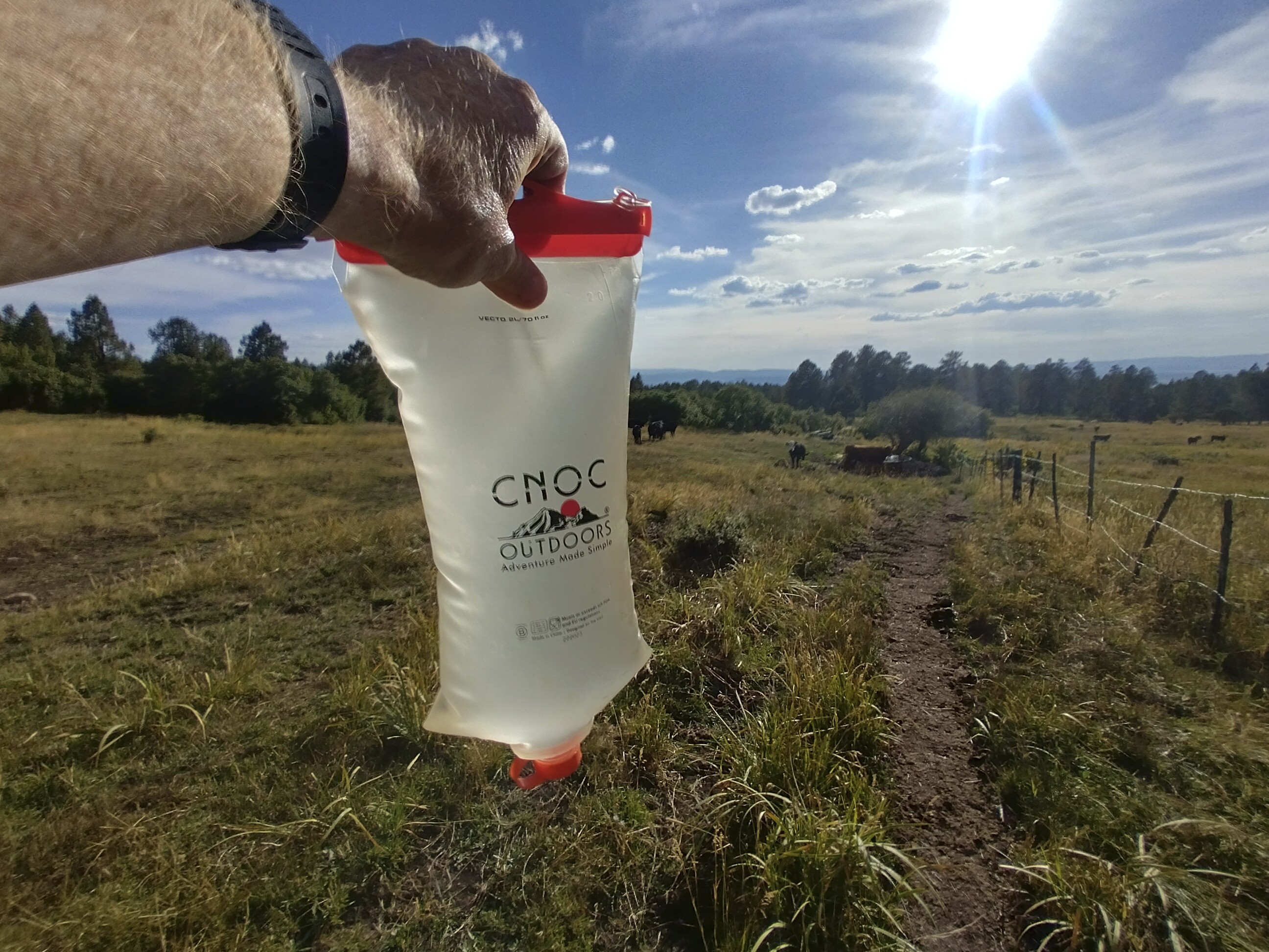
At a stock tank with pretty good, clean water I filled up, which needed to last 10 miles or so. The next chance for water would be well into the next day. Friendly cows guarded the tank, but moved away to let me fill up. I was excited about dinner, because I was back in the country of dehydrated refried beans, taco seasoning and most important of all: Fritos!. Now that's a good dinner.
I was missing the hot meals with Cory's stove, but I didn't find a stove or fuel in the stores I was able to get to since Denver. So I'd finish the trip in the pure style of a cold soaker!
In the evening, a hiker appeared and we chatted awhile. I was surprised to see anyone out here. I set up the tent on a scenic ridge by the dirt road. A truck somehow navigated the road up here, and after talking about the beautiful sunset, the old woman in the passenger seat told me to be careful because bow hunting starts in the morning. "Wear orange!" She said. Everyone was getting into their spot for the hunting to begin at dawn.
Sunset looking towards Cajilon.
My tent as it got cold and windy.
September 2, day 154
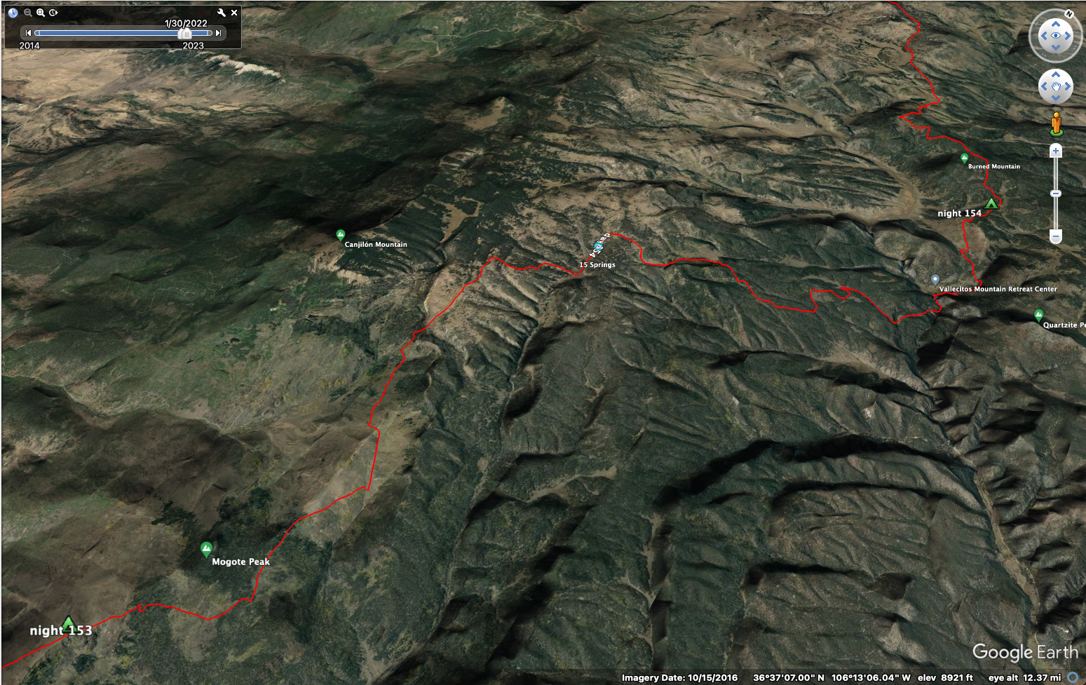
23.6 miles, 3630 feet elevation gain.
I packed and walked.
In the beginning was the Word, and the Word was With God, and the Word was God.
What could I have to say that is new? Not anything. But sometimes the world is new anyway. Silence above Cajilon. Only the crunch of footsteps. I cannot say anything new, but it is enough new in the world to walk it the way it wishes to be walked.
The land praises the Father. Not like us, we flickering candles. But steady.
I moved over a ridge, and down in that favorite kind of forest, where pine needles invite weaving among the trees. The allowing trees...
In high country west of the El Rito.
After a cross country adventure, I followed a shallow
valley to it's head.
I left the main trail for a "short cut" up to a crest, following animal tracks around fallen trees up through a notch to the Ojito Jarosito Spring, but there was no water there. Further on, there was a spring in the pine trees protected by a fence. I climbed over and rested and drank from the cistern -- good, cold water. Up and down to Fifteen Springs, watched by many cows. Then up again, moving east.
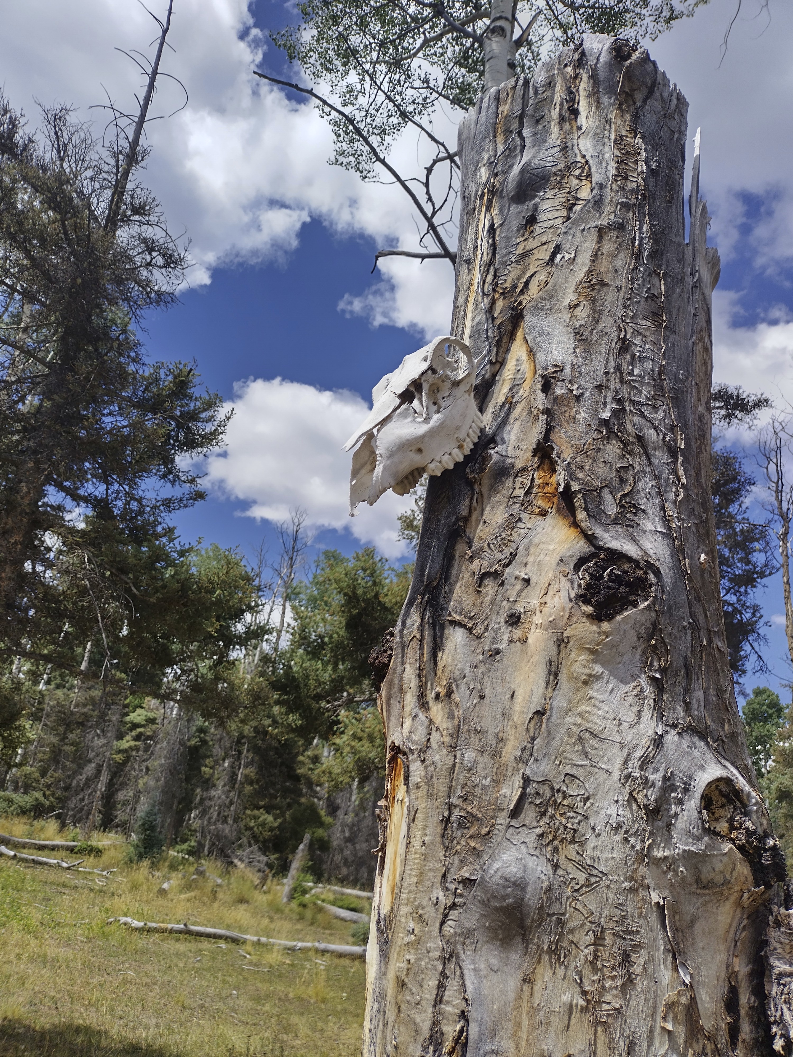
Strange bones decorating trees and the trail around here.
I joined the main path again, finding more water at a spring in the hot sun. Then a confusing journey northeast on a mix of road and trail. Animal bones decorated the trees, which was interesting. I was only disturbed to see a dead bird at a crossroads in the middle of the trail. Is somebody doing magic out here?
I thought that would be sad. The magic is already everything all around us. To look away from that and busy oneself with tying bones with twine would be to externalize the disorder rather than interiorize the peace.
From my blog...
But I say this: suppose there is no unseen world to which the rituals and ideas of witchery point. What then does it say about the psychological health of the individual who is willing to do strange things (kill birds, arrange bones, etc) in order to please beings of that imaginary, unseen world?
Nothing good! 😂
And then on the other hand, if you do believe in the unseen world, then you have some familiarity with the rules. Such as the first commandment. And the words about knocking at the door rather than climbing in through a window.
So...I wandered along thinking my strange thoughts...
Two hunters met in here on a road, with bows, technology and eagerness. They said to be careful.
Later, another shortcut at a bubbling creek, which turned into a canyon with higher walls on the right with a narrow path. This felt like a special place...I reached the boundary of the Vallecito Mountain Ranch, and walked the fenceline uphill to the east. I then came to a rock outcrop and a monument to Icarus, held by a woman.

The odd monument to Icarus.
Looking down on the Vallecito Mountain Ranch.
A good place!
Later, getting water for dinner, I met a thru-hiker, traveling south. Then a zone of trucks and people...I looked at a pond then saw a man completely still under the trees nearby, waiting for a deer to get it's evening drink. I had seen many deer an hour before, going south.
Up to a plateau in switchbacks and a zone of campers, preparing for a great Saturday night in the woods. I found a place not too close and set up my tent. Ate dinner, smoked a cigar, and slept.
September 3, day 155
23.3 miles, 3070 feet elevation gain.
I was worried about water today. I was going by Hopewell Lake in a few miles, but I saw a comment that said it was somehow contaminated. The next water source was a long ways from that. But we'll see when we get there!
I walked a combination of the CDT red-line and occasional roads. The woods were full of campers for the weekend. I was the only "backpacker," but nobody was curious about that. I said hello to people and their dogs when I saw them. Later on the redline trail a couple guys on all-terrain-vehicles came by and waved.
As I approached the lake, I said hi to a woman walking. We exchanged a few words, then she asked if I could use some water. I'd just learned that there was a pump near the lake, but it was locked for the season. "Sure!" I said. I followed her to her camper and she rustled up some water. We kept talking and she invited me in for a tour of the camper (short but interesting!) and then she made me a sandwich for breakfast!
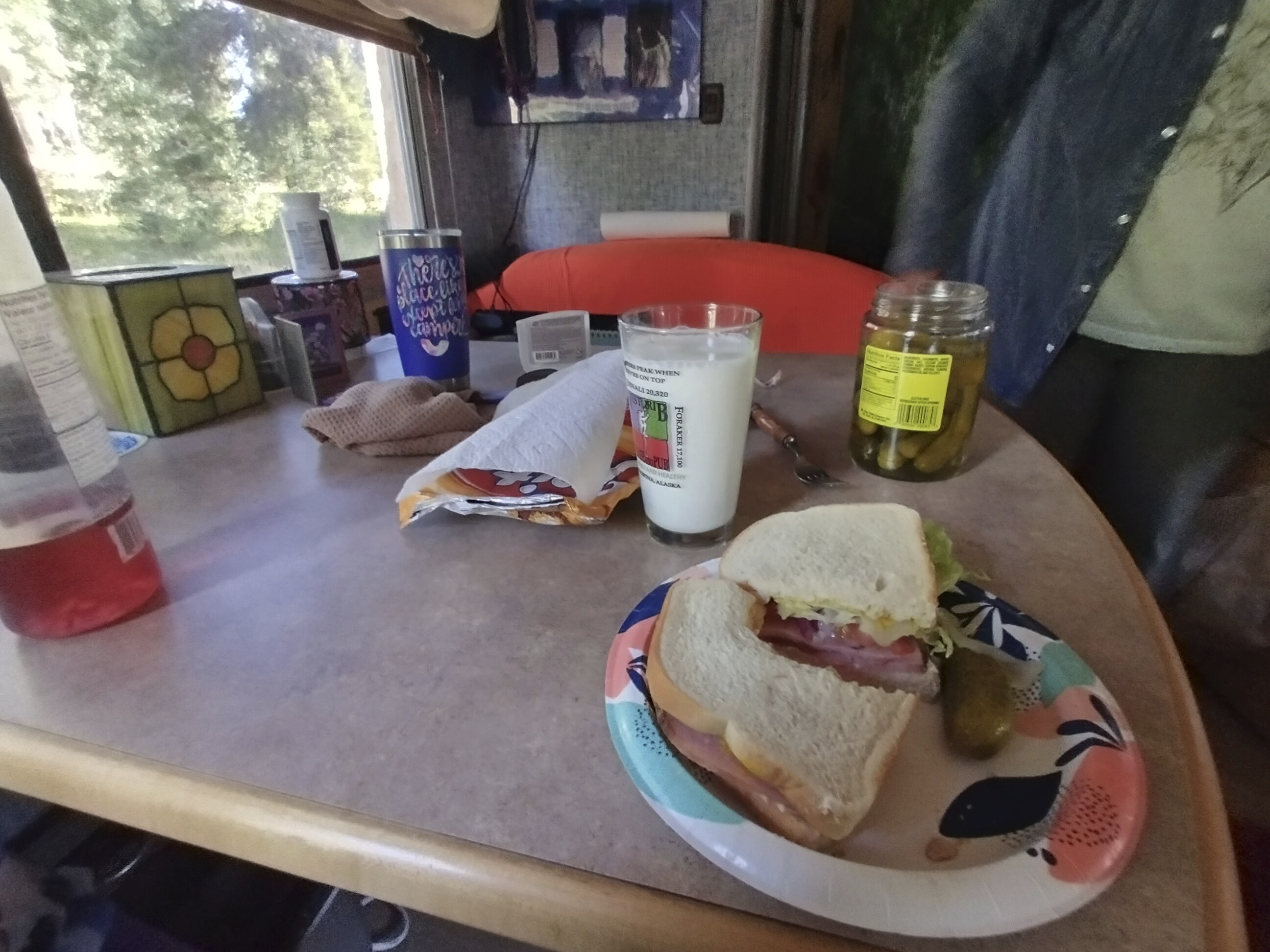
A great sandwich made by Gwynn!
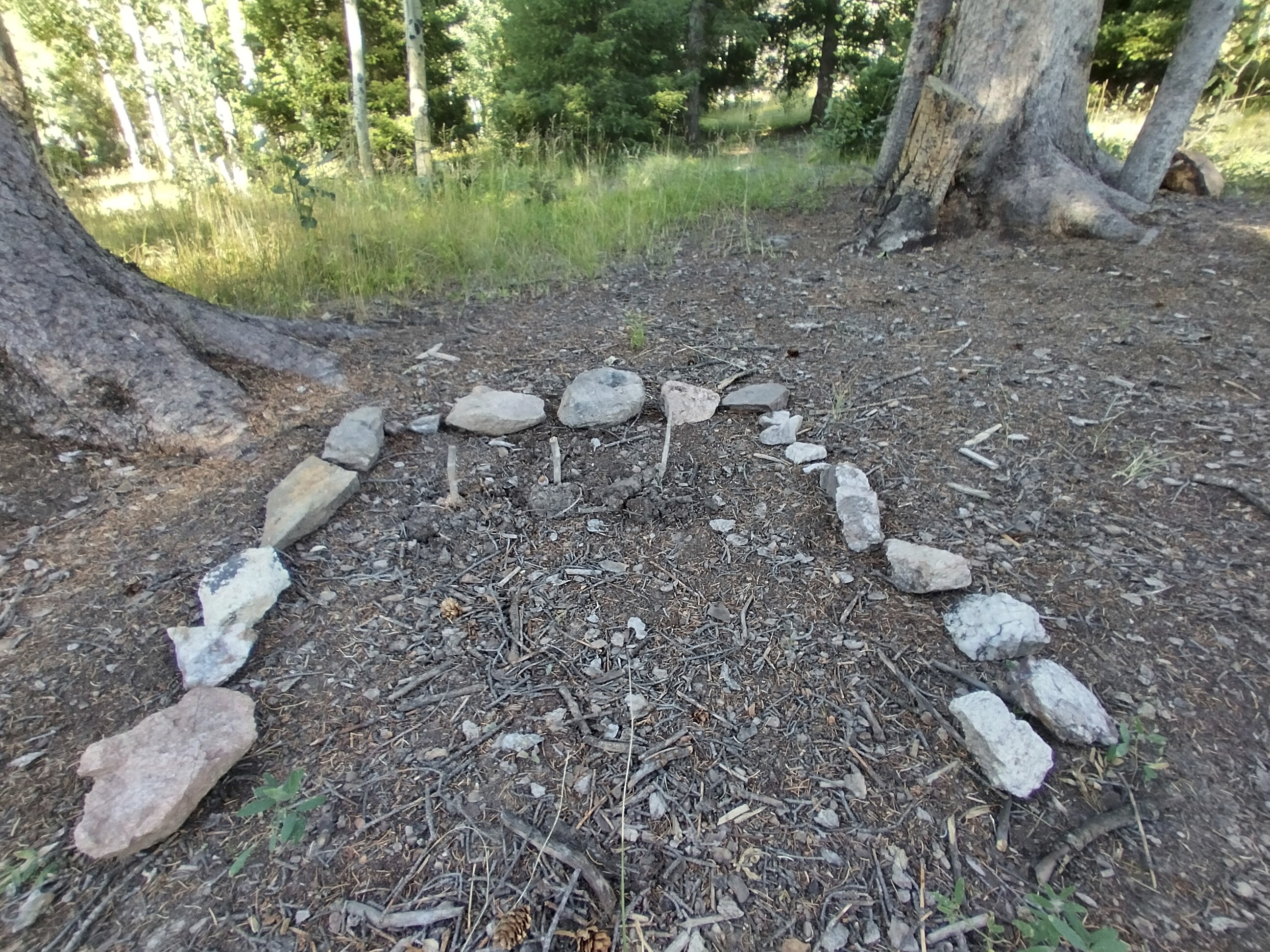
The gravestones of the three mice who died.
Me and Gwynn at her Hopewell Lake campsite.
Her name was Gwynn. Her son had written to the author Daniel Quinn, who wrote the book "Ishmael." I read it a few years ago and quite enjoyed it. Quinn invited the young man to come and study with him. He later wrote a book of his own. Amazing! Gwynn and I talked about family and practical concerns like how and where to set up in a camper for the winter (that's what she was doing).
She had to kill some mice in the camper, but gave them all a good burial outside!
I left with my water problems solved, with a good breakfast made with love in my stomach, and glad that I'd decided to walk the road a bit. She hiked all the trails here and thought it was unusual to see a CDTer on the road. Well...I'm glad I was the unusual one! It was a real highlight of the section for me. Thank you, Gwynn, wherever you are now!
I walked happily by the lake without having to test the water. A couple was also hiking the CDT going north and we said hello and chatted as we met a few times. They were just out for the day. Very rare to see hikers!
The trail sometimes made funny switchbacks on extremely low angle ground here. I finally learned the pattern and just cut straight. Sorry folks -- we don't have infinite patience!
Broad country north of Highway 64 and Hopewell Lake, north of the
Manga Canyon.
Me looking pretty sleepy.
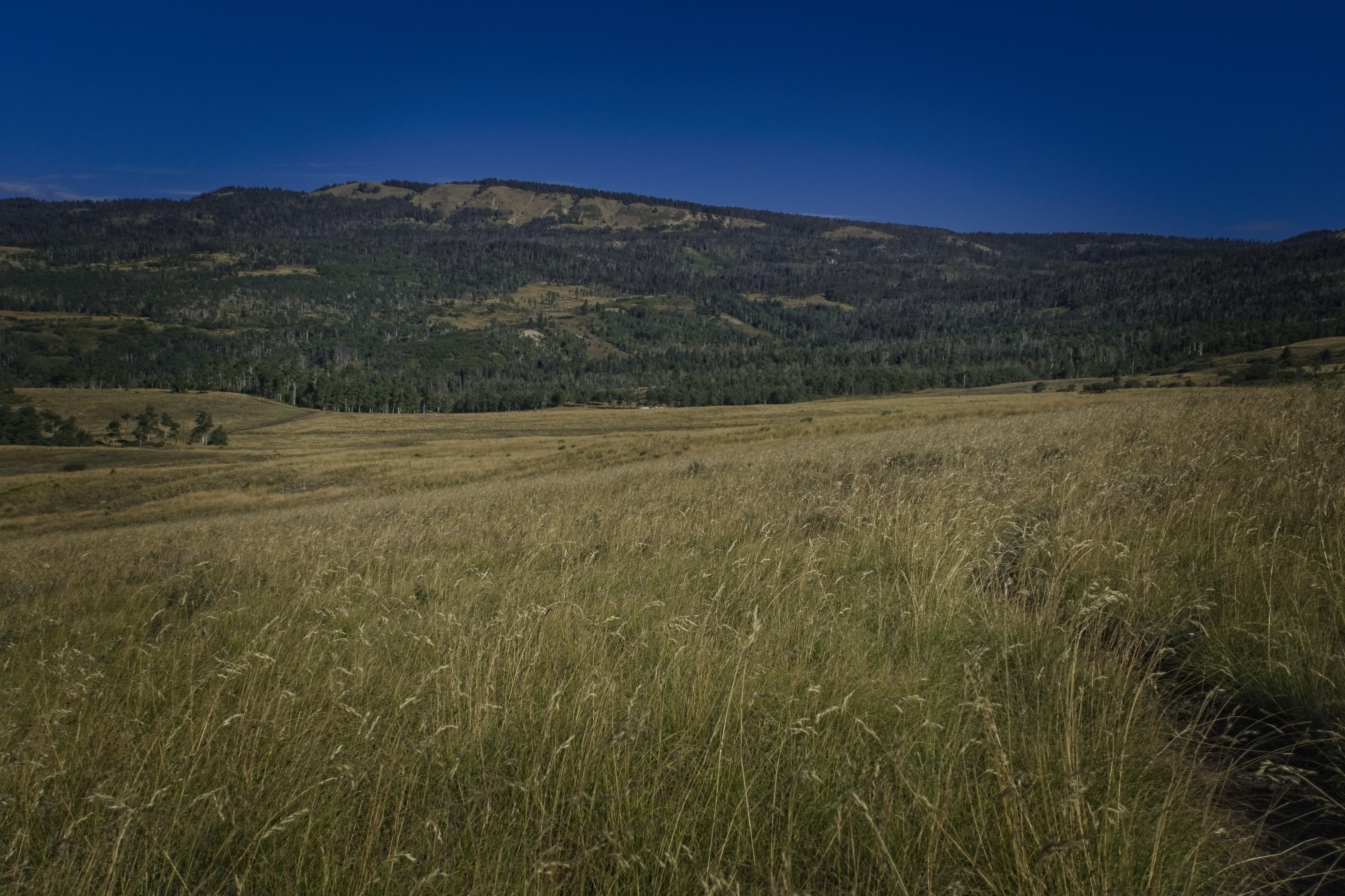
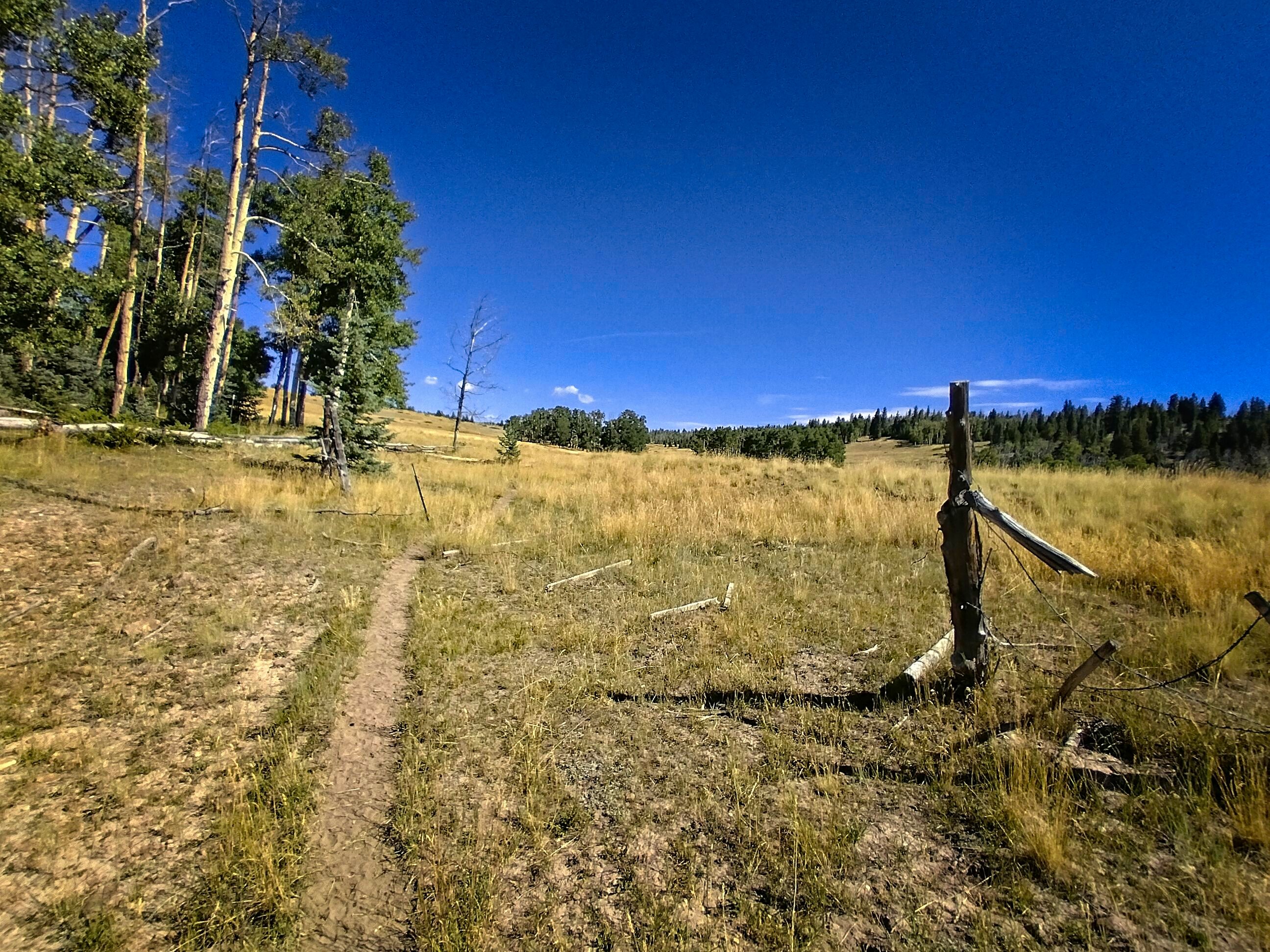
I came to a zone of open country spotted with cows. Really nice terrain, which ultimately became the dominant terrain type as I approached the border. Forest in little wind-protected dells with open grassland on the broad, high ridges.
Getting water in the lovely San Antonio creek.
I came down from a plateau to get water in San Antonio Creek and rested by the bubbling stream before climbing up to the most scenic stretch of this New Mexico journey: the trail stayed right on the edge of a ridge going northwest for miles. A few mountain bikers passed by, heading south.
Incredible hiking above the Rio San Antonio.
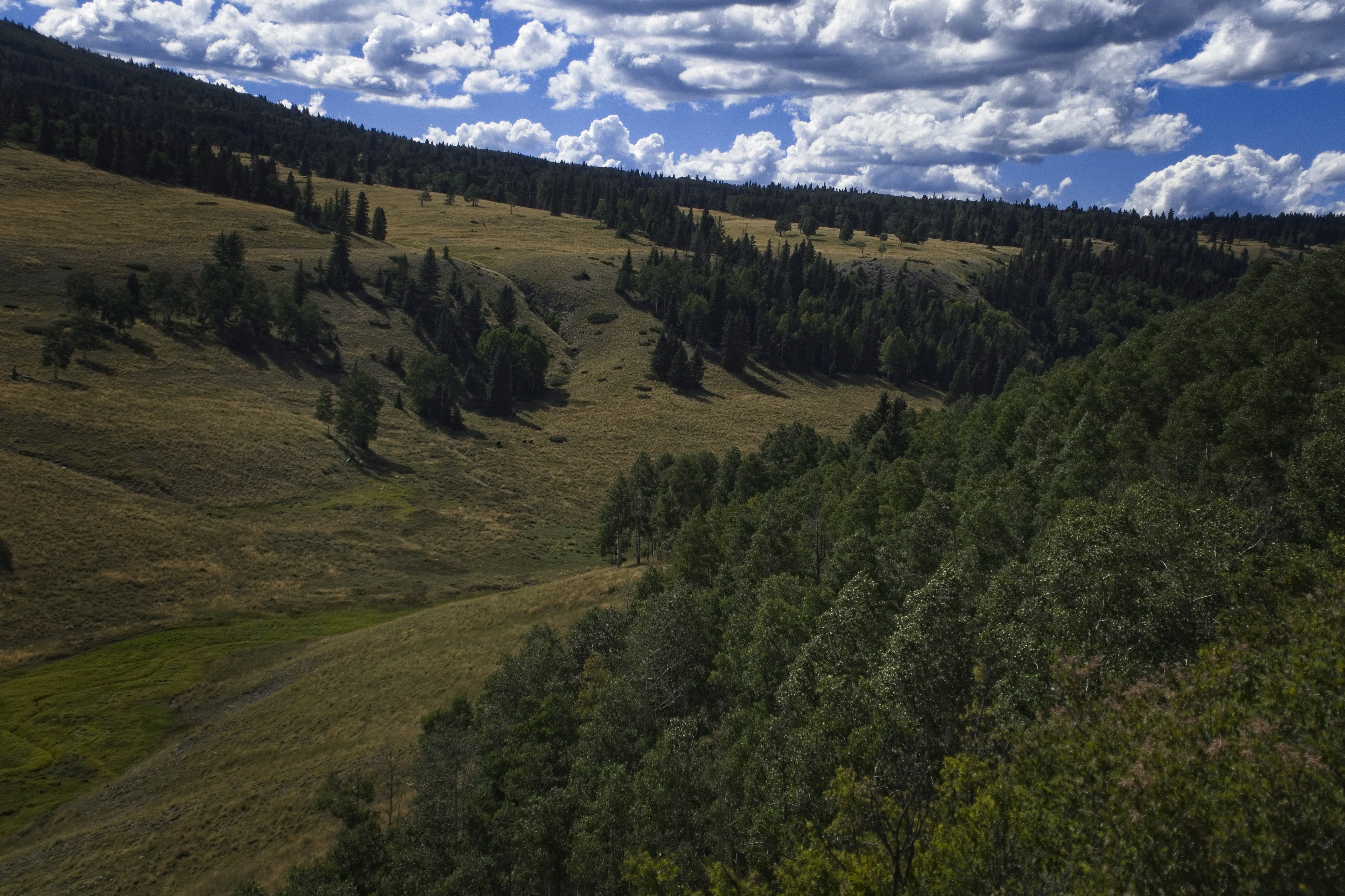
The country here is as beautiful as anywhere else on the trail.
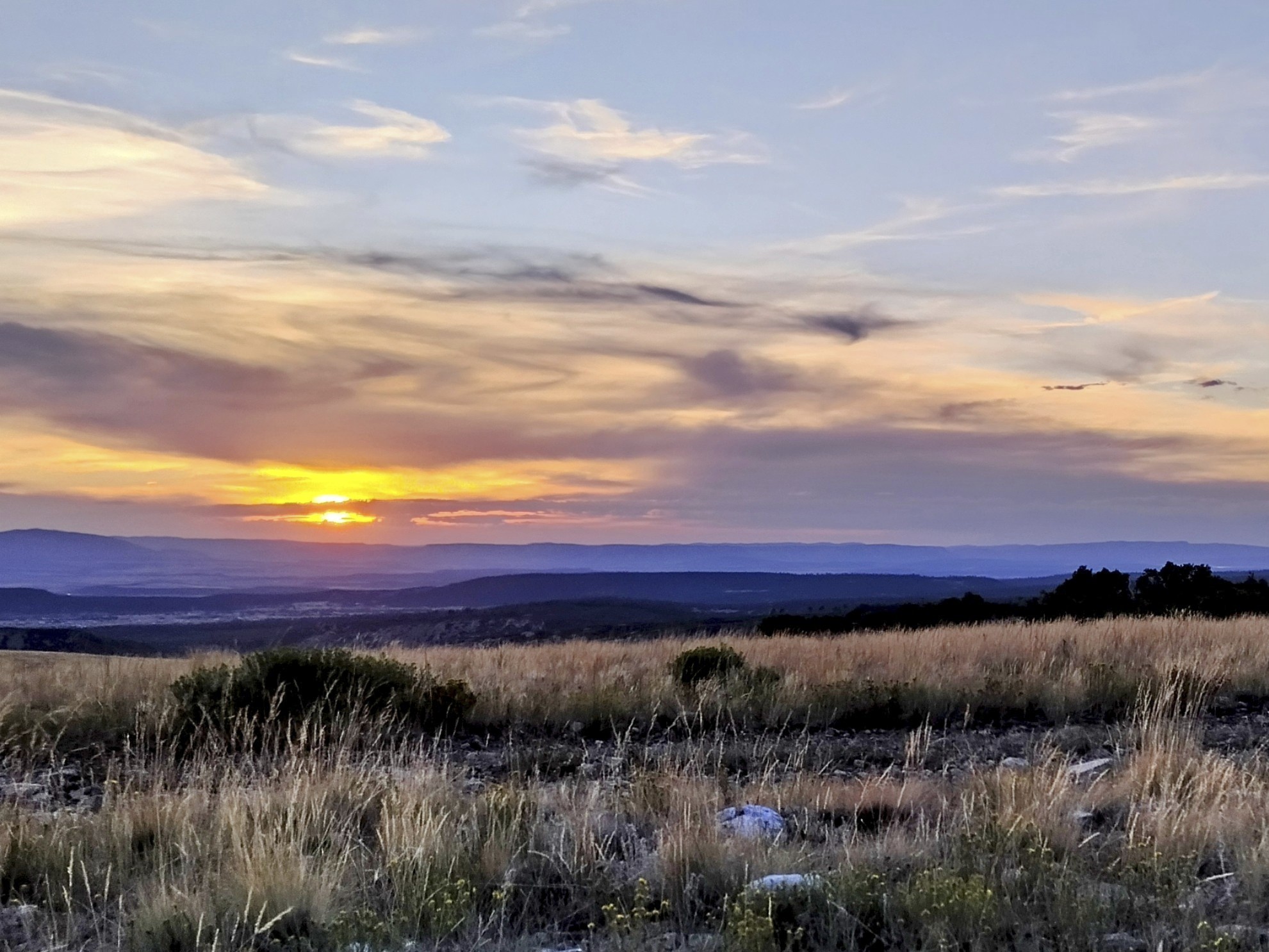
I turned onto a road that would save a few miles and set up my tent. It was a cold night! I didn't sleep very well because of that, but the stars were beautiful.
Because of the shortcut, I would miss a site of tragedy. A few years ago a hiker, trailname Otter, starved to death at the Lagunitas Campsite about a mile north of my camp. He'd hiked south from Cumbres Pass before a big snowstorm. He got sick, then was too weak to go back. So he went down to this campsite and ultimately made the bathroom his home. Despite a large rescue effort, he wasn't found until the next spring. Outside magazine made an article about it. A real sad story.
September 4, day 156
21 miles, 2130 feet elevation gain.
It's time to touch the Colorado border, saunter down to Cumbres Pass, and head the hell back north. I was walking before dawn, sharing the road with all-terrain-vehicles heading up to hunting spots. One thing is clear: people love hunting out here.
I reached a ridgecrest in icy wind, mixing and matching the CDT tread on the side of the road, then switching back to the road occasionally, which seemed to have better views. Really cold, though.
Cold up here, but incredible scenery on Brazos Ridge.
Looking towards Cumbres Pass.
Finally I came down from the crest, the wind abated somewhat, and a storm that had been threatening seemed to dissipate. Though it looked like bad weather to the northwest in the San Juans. I was glad to be over here, where it was bearable as long as it was sunny.
Resting at a creek, shortly before leaving the trail for road into Colorado.
I walked down to a road, surprising a family of deer. "I won't tell the hunters!" I told them, but they were more interested in running away. The trail climbed gently up and down in scattered light forest and open country. After a rest by a creek, I came to a dramatic open valley which looked like a great place for a western movie showdown. Some cabins dotted the landscape in the distance.
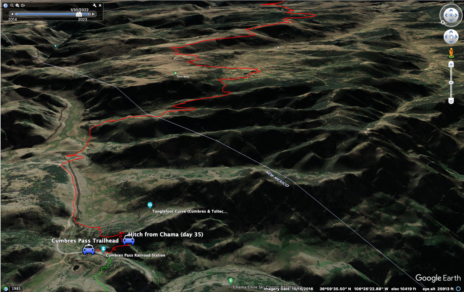
Here, I took a road north, passing some sheepherder gypsy wagons, some sheep and the usual friendly dogs around them. I passed some campgrounds then entered Colorado at a gate. Nice! Another hour down the road I was re-climbing to reach state route 17 towards the pass. I crossed over the "Cumbres and Toltec Scenic Railroad" tracks.
My aunt Anna and uncle Mickey had taken me on this train when I was about 10 years old. It was a glorious overnight trip -- I got my own hotel room! How neat to be back here in this corner of the world. The one downside of that trip was I got a cinder in my eye and had to keep my right eye closed for days. To this day, I can still wink my right eye with minimal movement, but the left eye requires scrunching my face up. Heh.
I must have been bored, because I started traveling cross country in here. With the railroad down below me, I suddenly wanted to walk on it. I left the road, enjoyed a satisfying mile of walking the tracks, then used the map to trace a line uphill to intersect the redline trail shortly before it drops to the pass. I probably didn't save any time, but it was fun. It was amazing to look north into the South San Juans where I'd had such an adventure more than a year before.
Down at the pass, I stuck out my thumb for a hitch to Chama. I knew there was a bus to Albuquerque (or a series of buses), and I thought that direction would be my best bet to get back to Denver, where I'd decided to rent a car for the last bit of hiking.
Walking the road south to Cumbres Pass.
Travelling cross-country, on my way down to Cumbres Pass.
But nobody was stopping. A couple of guys said they were scouting for hunting locations and weren't going all the way down to Chama. Finally, a guy stopped. Turned out that he works for a shuttle service associated with the railroad somehow. Boah, I'm glad he stopped! It was a pretty lonely place at this time of year.
Within 20 minutes I was strolling down the street in Chama, which I knew pretty well because I spent a week there last year. I got fish and chips at the bar, sitting outside and drinking a beer while reading Swami Vivekananda's commentary on Patanjali's Yoga Sutras. What could be better?
I went in to the "Hotel and Shoppes," booked a room for the night, and was quickly fed pie and ice cream by the friendly owner. Ah...
September 5, day 157
Zero day! I was up in the blackness before dawn waiting for the bus from Chama to Sante Fe. I was kind of amazed when the shuttle bus actually did trundle out of the darkness and let me on. It was basically free. I sat next to a guy from South Africa. He left because of terrible crime, which had in fact killed or maimed plenty of people he knew. He told some awful stories...
We switched to another bus to Sante Fe. Once there, I stepped into a supermarket for a sandwich and coffee. Then I made it to downtown Albuqeurque on a sleek, modern train/tram.
Then I hired an Uber to get me to the airport.
The flight to Denver went smoothly. I hired a rental car, and booked an apartment in Winter Park for 2 nights. Soon I was driving out there. I think I bought some McDonalds on the way, and arrived quite late at the apartment, which door I opened via a series of codes on a phone app.
What a day! Constant travel, though the distance from Chama, New Mexico and Winter Park, Colorado isn't really that far.
September 6, day 158
A real zero day, meaning I didn't have to spend the whole day travelling. Although I did spend a lot of time in the car. First I woke up in my apartment and drove to Safeway for breakfast. I had a nice talk with an older hippee cashier -- wise man. On the drive back who did I see trying to hitch a ride but a young man I last saw on the road walking out of Rawlins?
I had to give him a ride. So I drove him up to the pass. It took extra long because of the construction stoplights. Good luck!
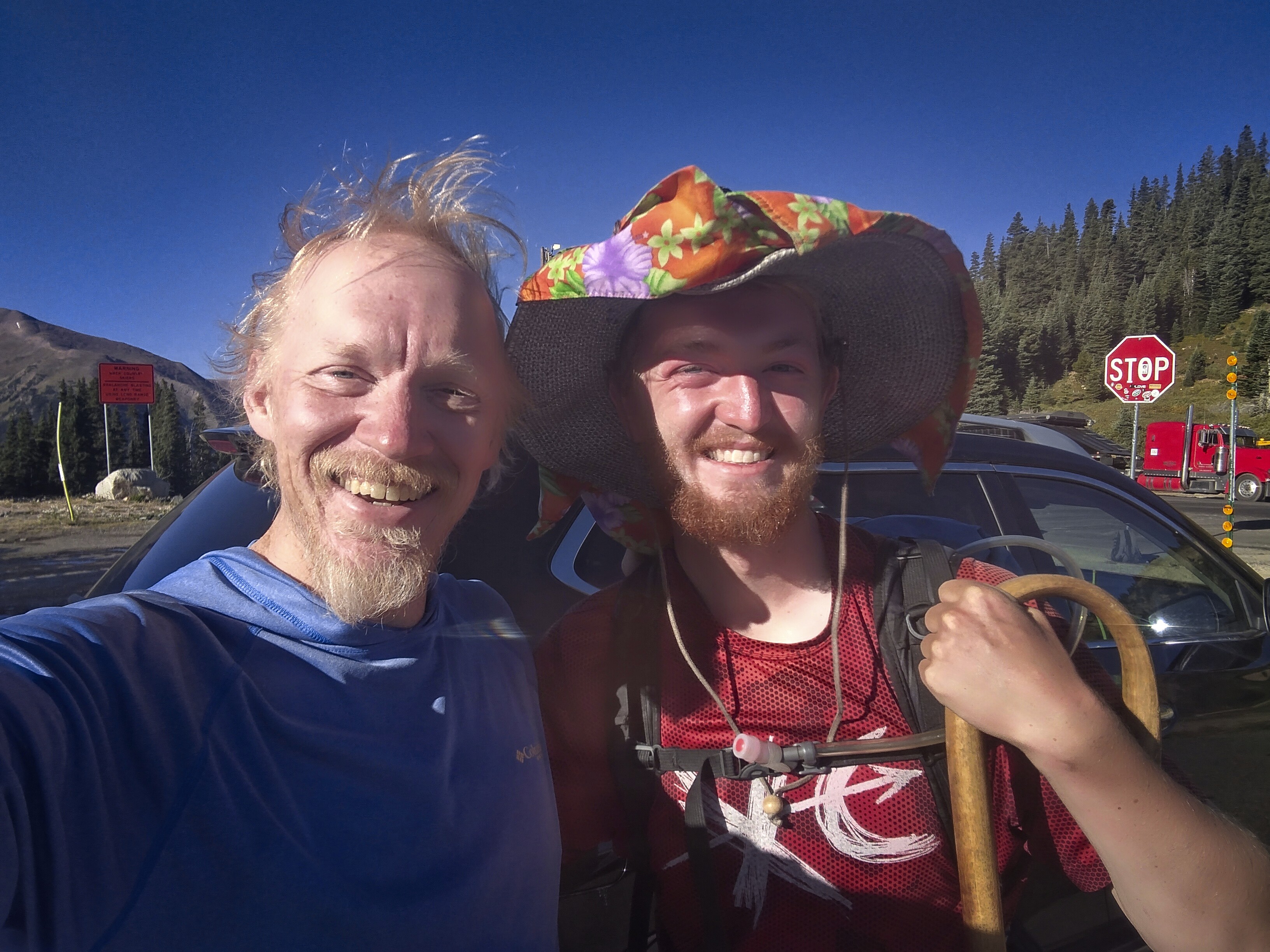
Happy to give a friend a ride up to Berthoud Pass.
Came back to Winter Park, ate breakfast and rested some more. Then I put my interesting plan into effect.
I wanted to walk north from the pass and come out at a campground a day later. But I wasn't looking forward to carrying a full pack over high mountains, especially since I wasn't acclimatized to being above 13,000 feet. So I decided to drop off my overnight gear at the trailhead and hide it. The next day, I'd drive up to the pass and start my hike. I'd figure out how to get my rental car later.
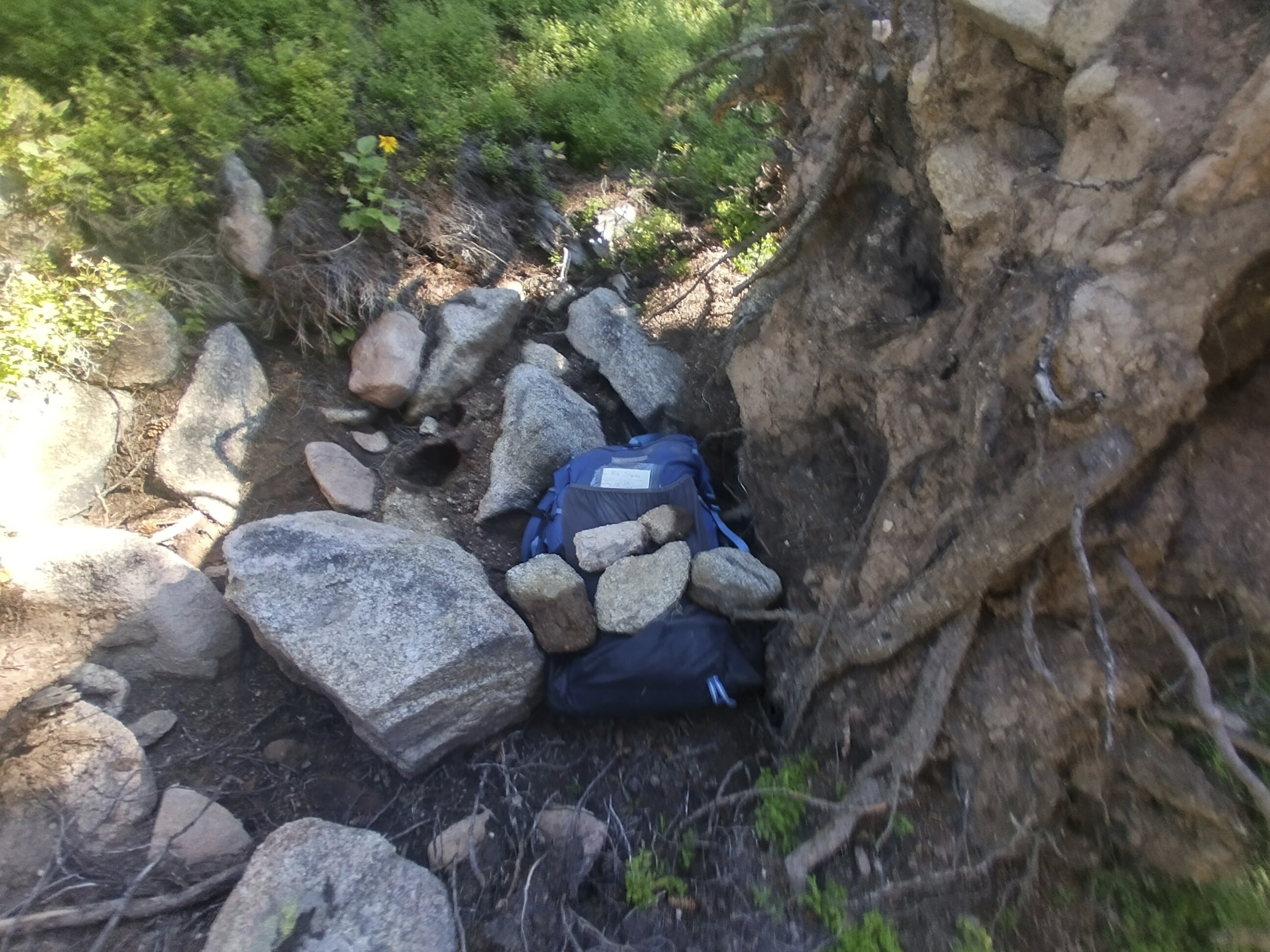
Stashing my pack in the secret woods!
It was a really slow drive up the Rollins Pass Road, often slower than walking due to the washed out status of the road. Beautiful weather, but dang, good thing I had an audiobook. I stashed the pack near a railroad trestle so I didn't have to drive all the way to Rollins Pass. A variant of the trail came by here.
I also enjoyed myself in the apartment. There was a pool and hot-tub, and I hung out in the water for a while. Caught up on corrospondence, enjoyed a nice breakfast, and generally felt like a human being again just because I had my own space with a kitchen. For the first time in a long time!
September 7, day 159
15.2 miles, 4620 feet elevation gain.
I was hiking up the switchbacks above Berthoud Pass pretty early. The trail skirts the Colorado Mines Peak on the north, which I was glad of because it ameliorated the icy wind somewhat. I couldn't imagine being in these mountains even a month later - it was too cold for traveling light, now!
My trusty Frogg Toggs cheap windbreaker was finally starting to fall apart. On this day, the right sleeve rapidly turned to shreads in the wind. I really can't complain though, it was good all last year and this year until now. I ended up taping things together a bit to keep going...only a few more days!
Looking north from Mt. Flora.
On Mt. Flora, with Ethel Lake below.
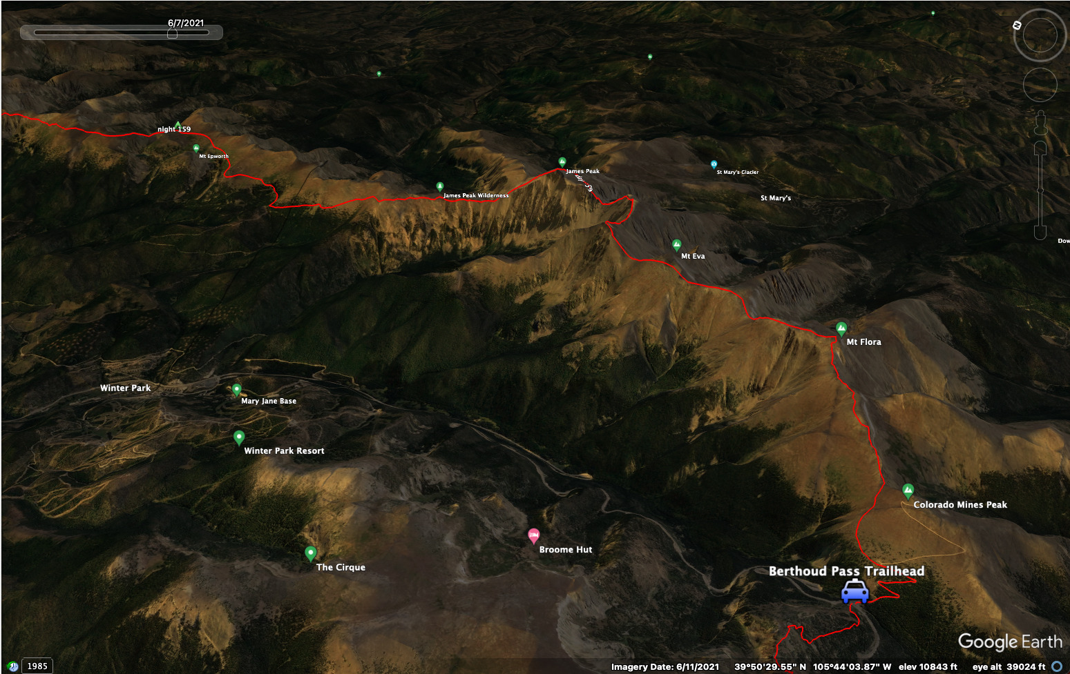
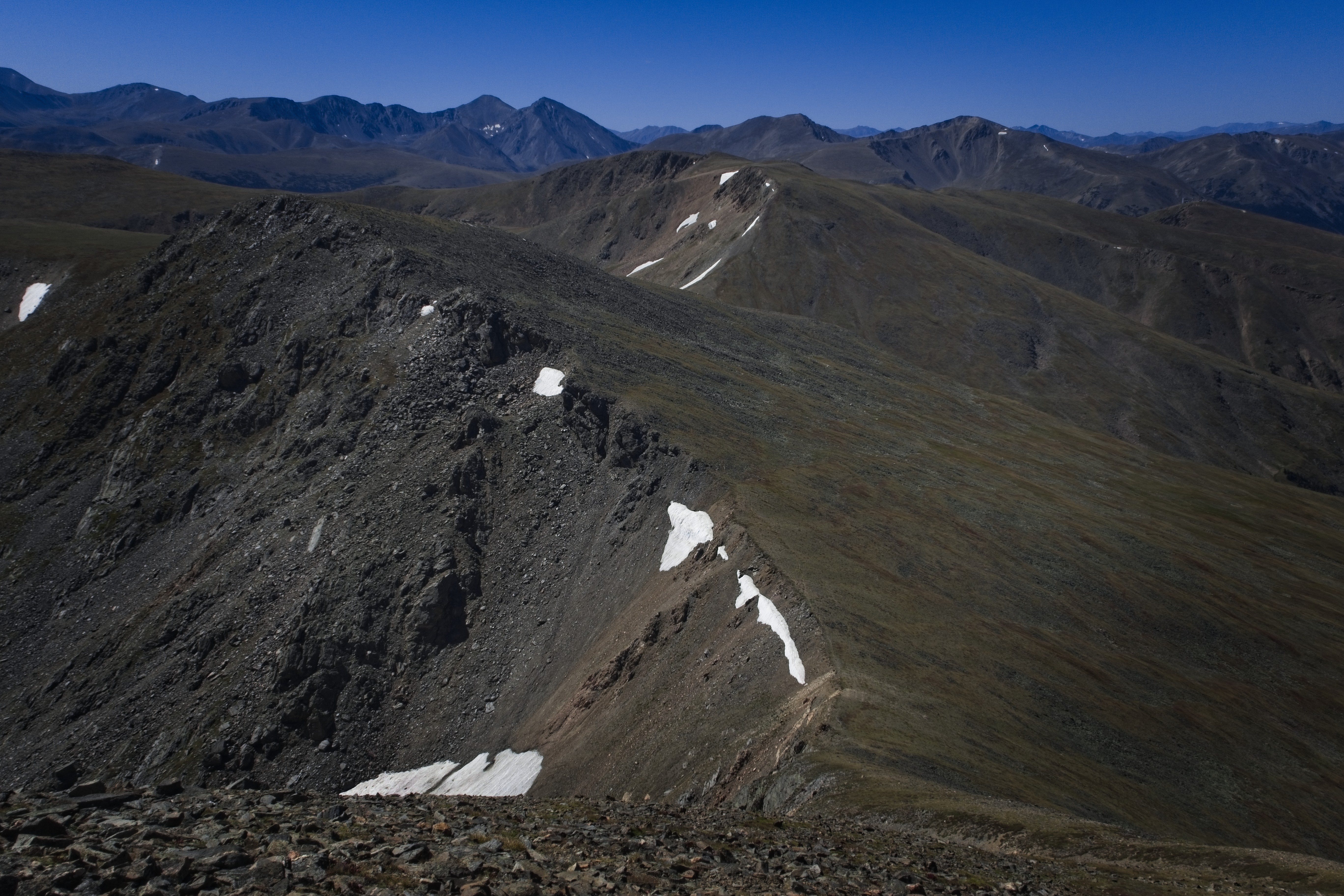
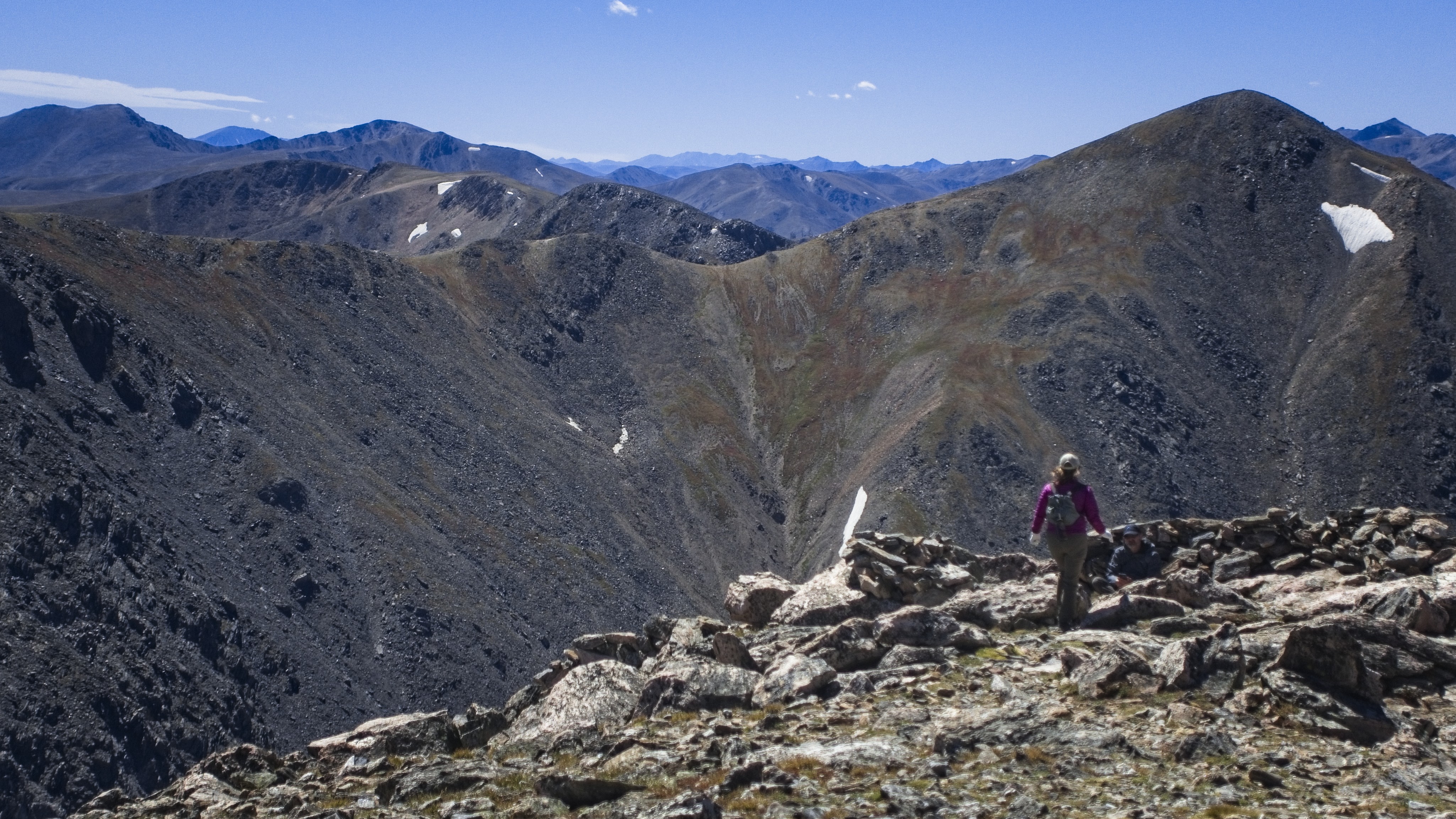
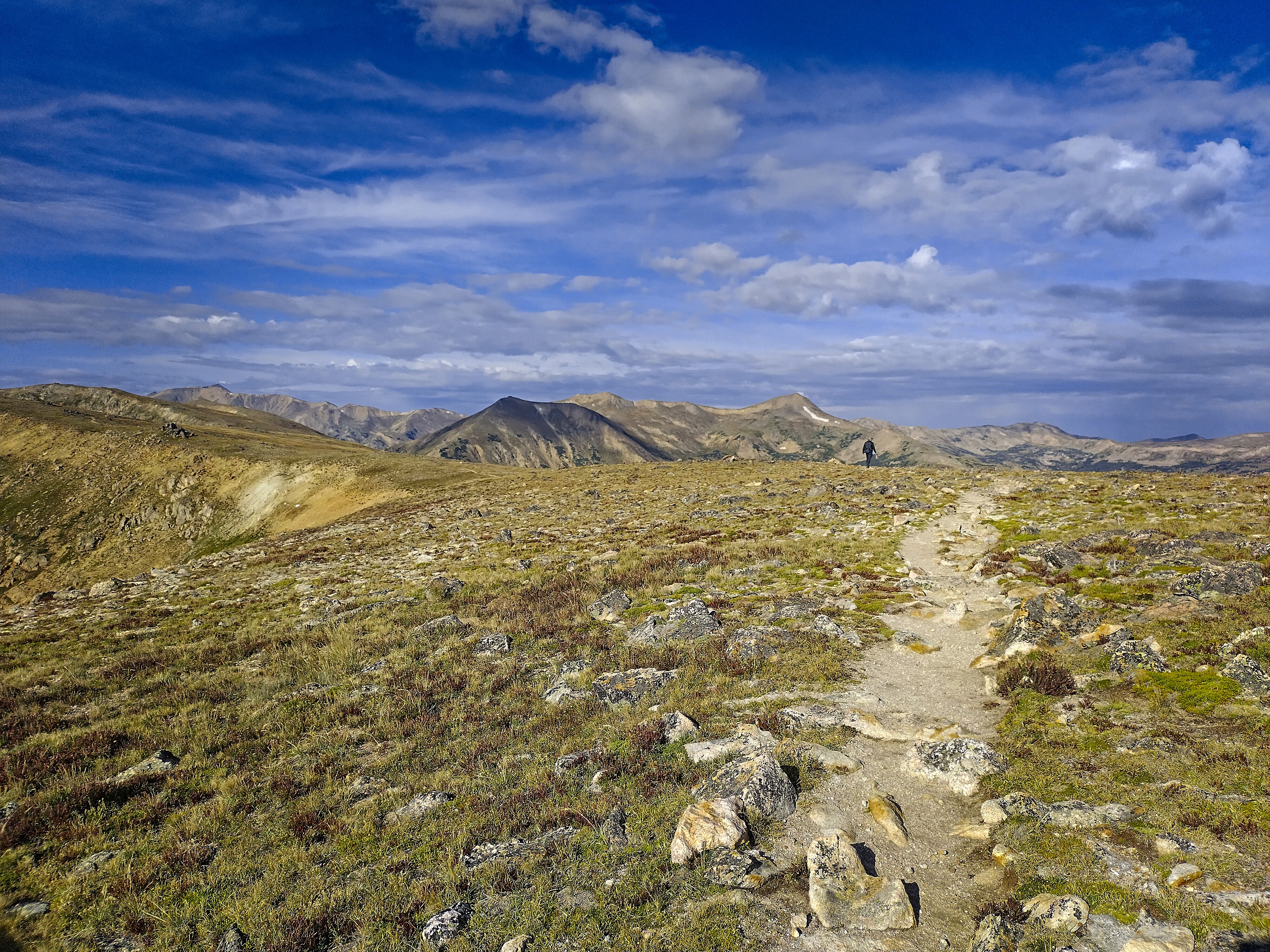
I reached Mt. Flora (13,132 feet) along with a couple of other hikers. One got a picture of me with Ethel Lake beneath. One version of the CDT trail goes down here and slowly reclimbs to James Peak. I was excited to do the high route, though, as the weather was good and my pack was light!
So I stayed on the crest, following bits of trail here and there, but mostly looking for the easiest line. It's interesting...the USGS topo map doesn't show the CDT dropping down to Loch Lomond along the east ridge of Mt. Flora, but newer maps do.

My route, down into the saddle and back up, and over to James Peak in the
distance.
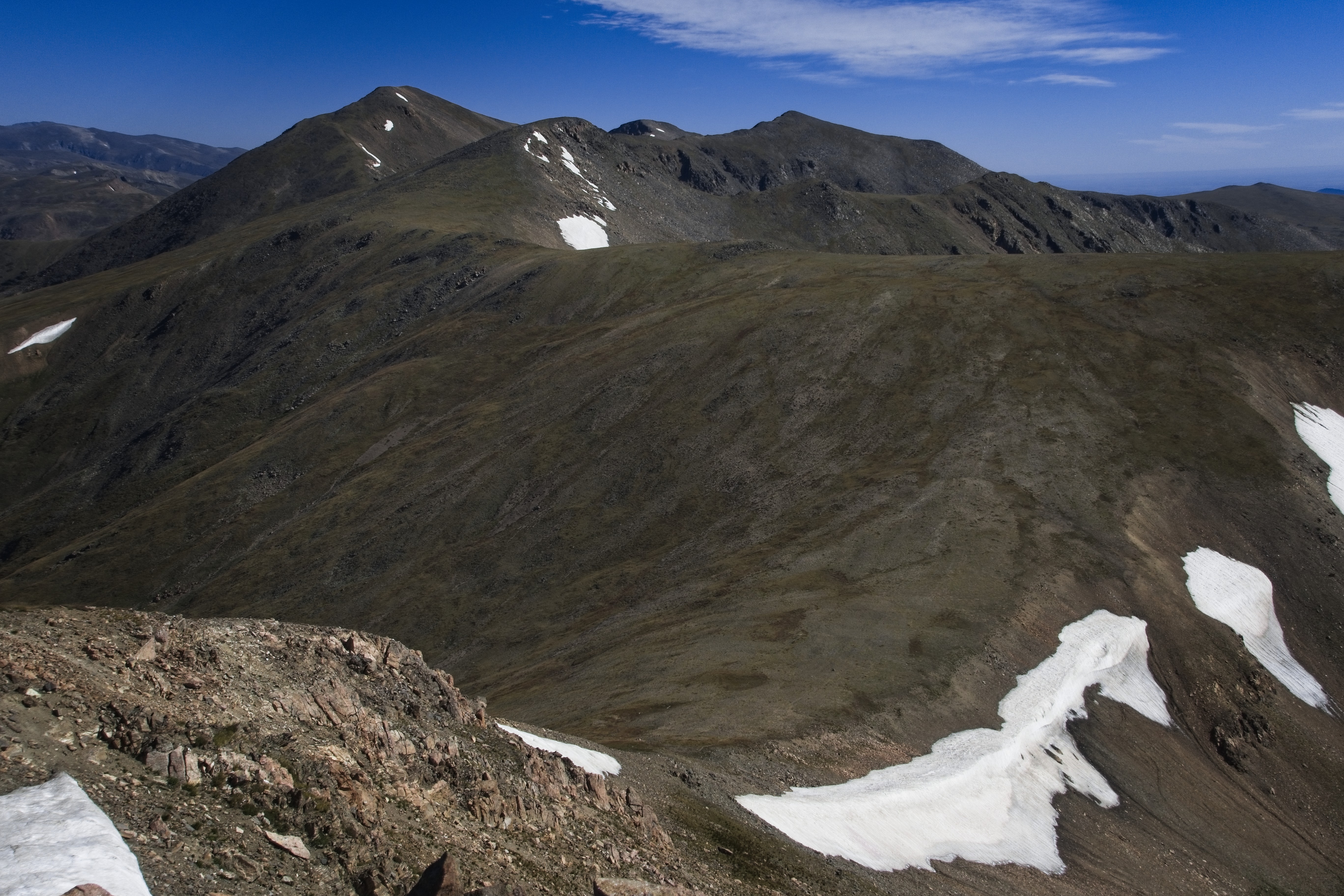
A close up of the previous picture.
I skirted Mt. Eva on the west side, hopping across boulders spilling down from the mountain. At the saddle between Eva and Parry Peak (13,391 feet), I rested on a bench of snow. What a gift to be up here on the crest...
As I wheezed my way up Parry, I realized I'd left my gloves below. Darn it... back to the snow patch, then back up again...
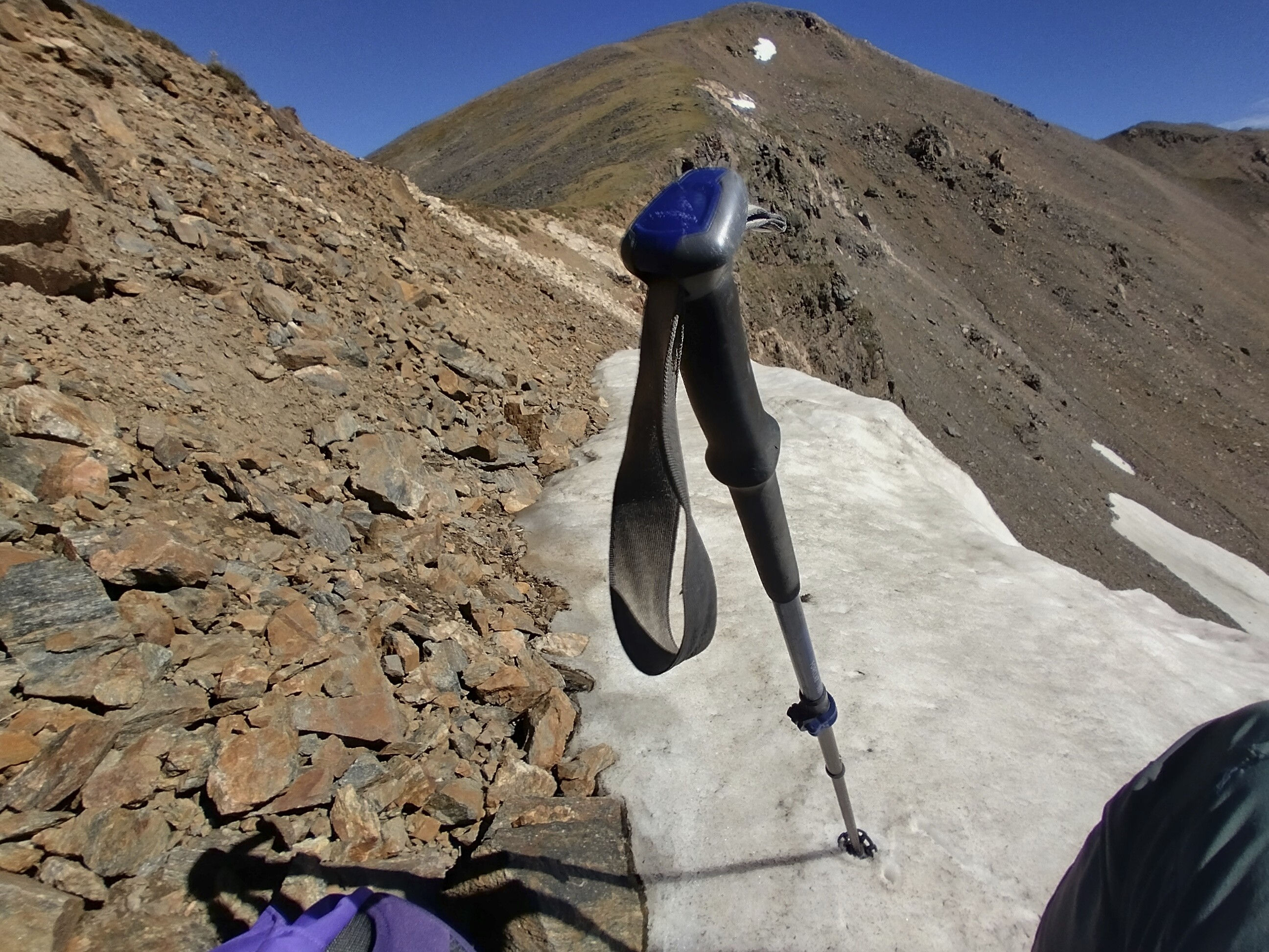
Resting on some remnant snow before the climb of Parry Peak.
View from Parry Peak (13,391 feet).

Looking down and out to Berthoud Pass.
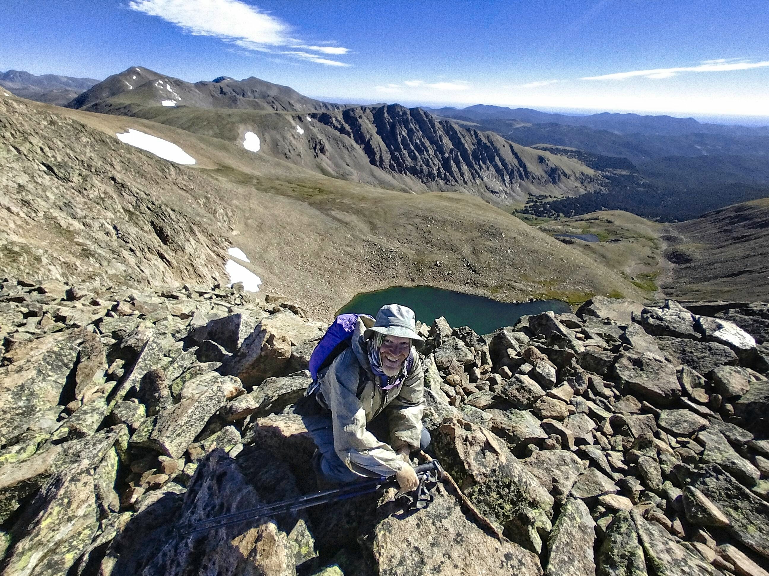
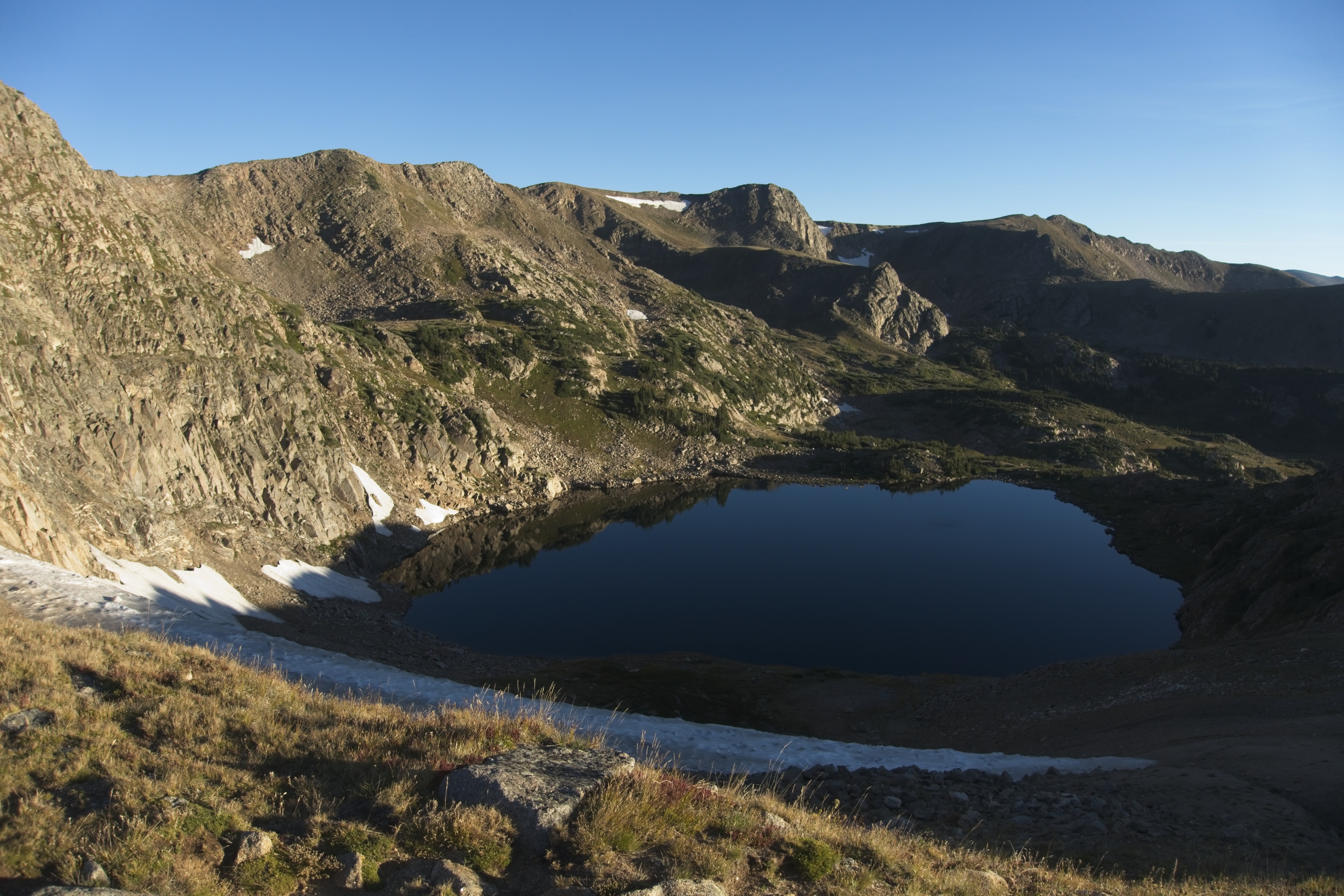
From Parry Peak, I dropped a few hundred feet, then climbed over Mt. Bancroft (13,250 feet), then started looking for a faint path going down to a narrow saddle connecting to James Peak (13,294 feet). There wasn't much sign of any passage, but it was reasonable to descend steep grassy slopes to a crumbling, narrow saddle at around 12,600 feet. Ice Lake, complete with ice or snow, was below on my right.
Here is the slope of Mt. Bancroft I descended.
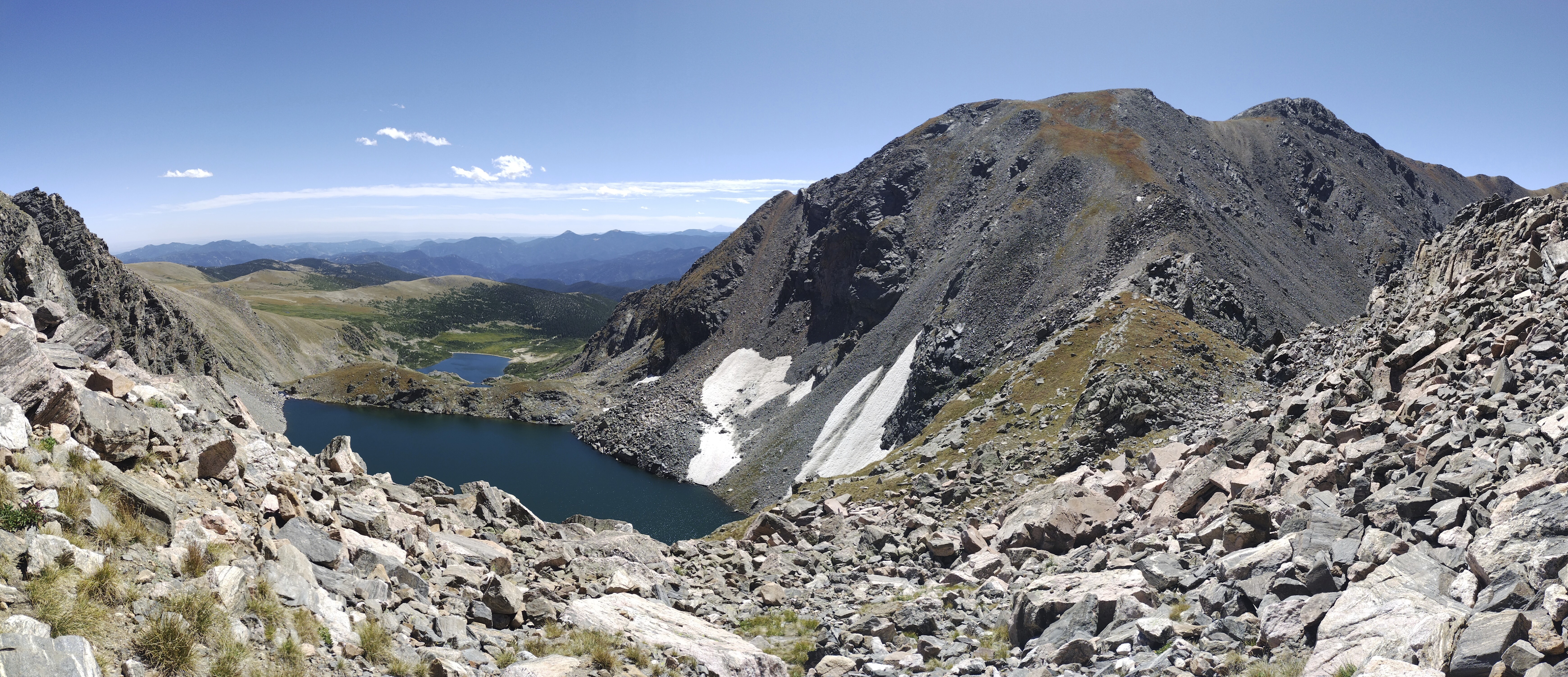
Ice Lake from the saddle between James Peak and Mt. Bancroft.
Mt. Bancroft from the summit of James Peak.
I had to use my hands just a bit at the narrowest point, then I followed my nose mostly on the east side of the crest until I could regain the crest. After this, I crossed a grassy alp leading gently to the summit of James Peak. Two hikers were up here.
Pleased with my high point, I could head down steep trail that soon rejoined the divide on a way blasted out of the west side of a north-south running ridge. I met a few hikers here, and then, I even met Wrecking Ball, last seen in the wilds of Montana!
We had a nice conversation for a few minutes, wished each other well and said goodbye. I continued north, making for Riflesight Notch, the location of the railroad trestle where I'd stashed my pack. I also got some water in here. It's always nervewracking when you've left gear somewhere. What if somebody finds it and takes it?
But nobody did. Somewhat disappointed at the lack of drama, I hoisted the pack and took it down to the road where I merged the contents of two packs into one, stuffing the now-redundant day pack into a side pocket.
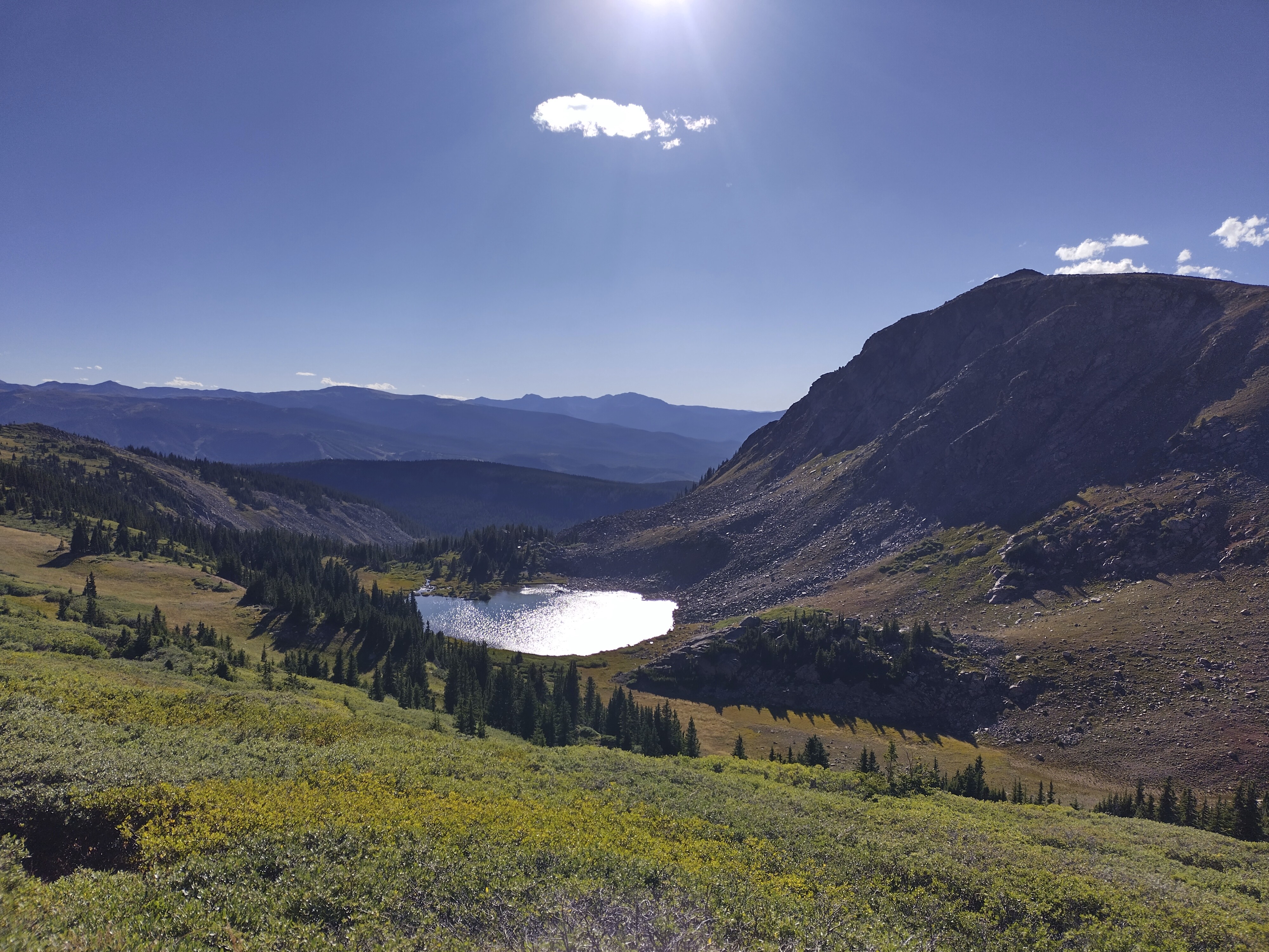
This is probably Pumphouse Lake taken from near my camp at Rollins Pass.
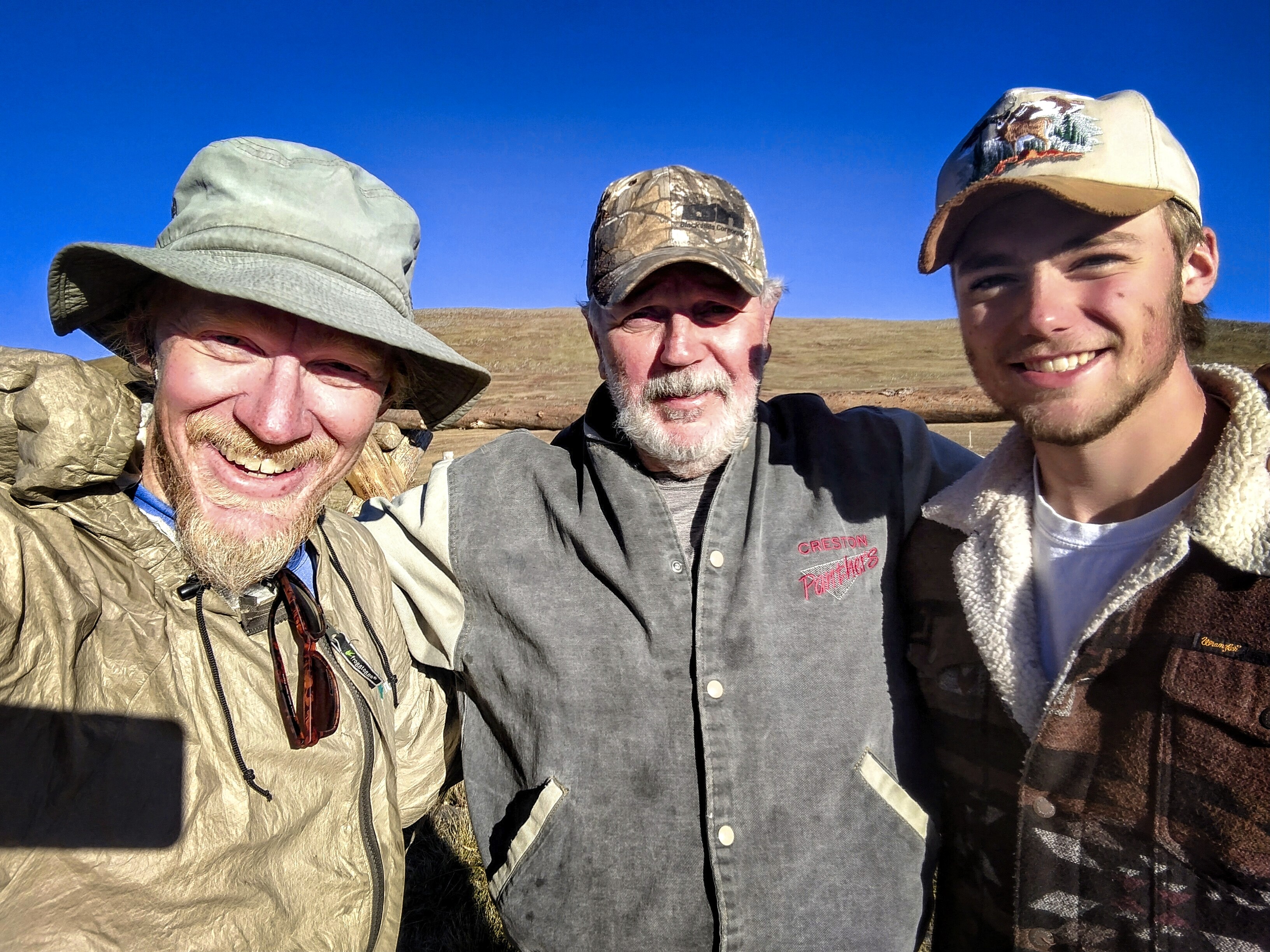
An amazing father and son met at Rollins Pass. We talked an hour about
honesty, God, troubled times and keeping faith.
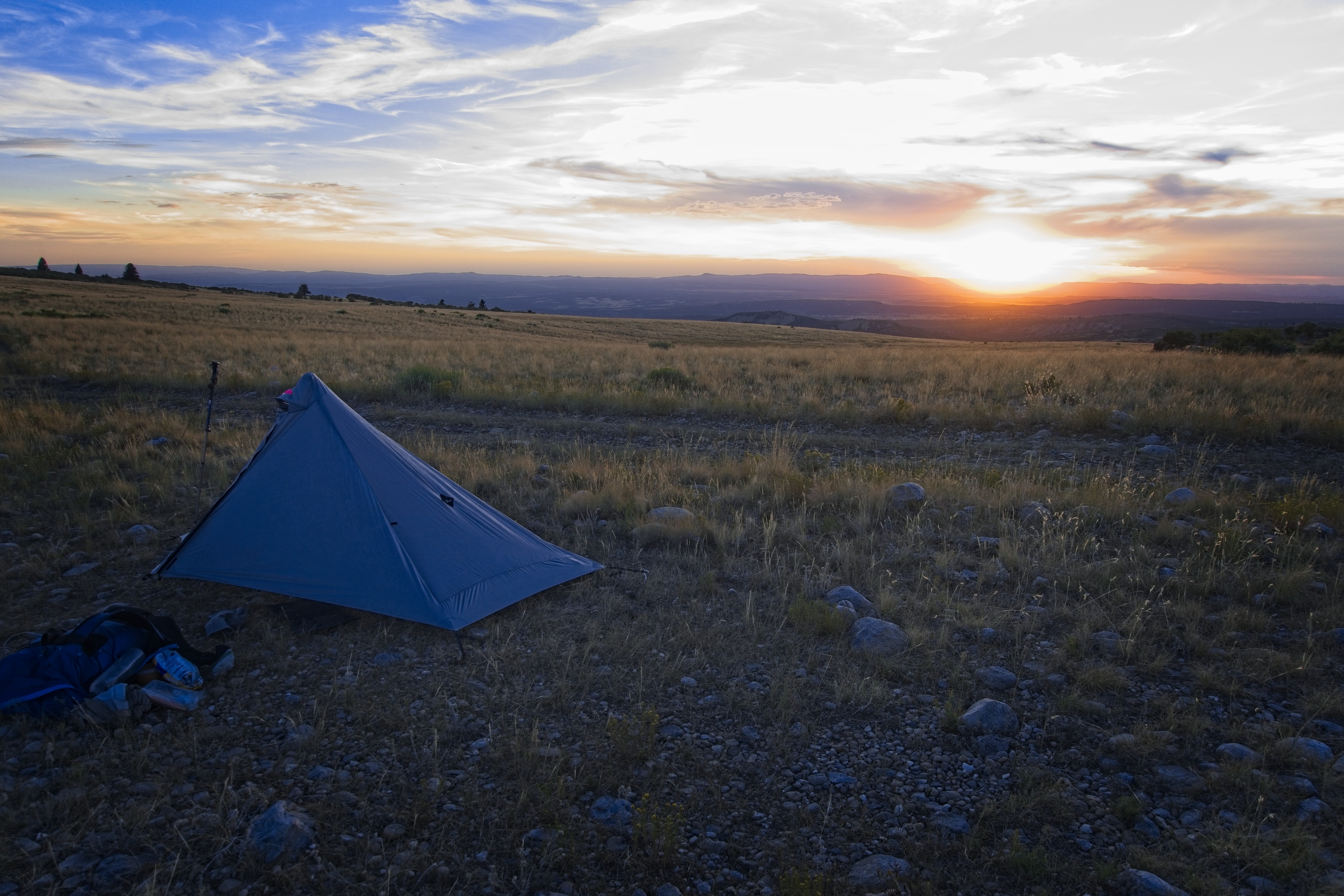
I was pretty tired by the time I reached Rollins Pass, even though it was only a 15 mile day. I gave myself a break because of the altitude which must have cost something. Anyway, there were great flat spots here. I set up the tent then had a great, long talk with a father and son who come out here every year from Indiana (I think that is the state!). He was a very godly man, full of wisdom and philosophy, seeing God in everything. By the time they drove back down to the valley, I was getting cold and retreated to the tent, though my heart was warmed!
September 8, day 160
12.3 miles, 1900 feet elevation gain.
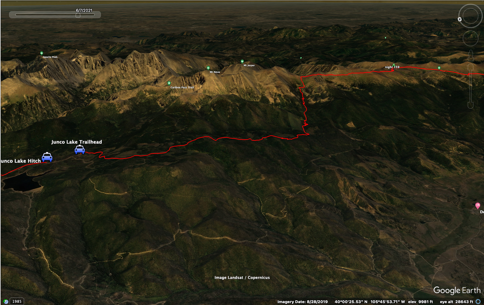
My job was to get down to the Junco Lake Trailhead, then I could hitch back to Winter Park and either hitch or hire a taxi to get me back to my car at Berthoud Pass. I'd figure out where to spent the night at some point.
First, the trail climbed to an overlook of King Lake, which was helpful for warming up. Then it side-hilled along for a couple of miles before ascending a bit, then dropping to Devils Thumb Pass (11,747 feet). Now steeply down to Devils Thumb Park. On the way I met a couple of CDT hikers going up, I hadn't seen this couple before.
King Lake on a cold morning.
Then the High Lonesome Trail north out of the park over a hill. I was in a land of forest and occasional small parks. It was pretty hot down here compared with the high country (ha! I was still above 10,000 feet). In the last quarter mile to the Junco Lake Trailhead I met a couple and chatted with them. I asked if they could give me a ride down to Winter Park (it's a long, long dirt road). They had a rather special vehicle, called a Rivian. It's an electric truck with a beautiful curved dashboard display, and a trunk for gear in the front as well as having a covered truckbed. Amazing. I'll bet it's expensive!
They dropped me off at Safeway. I tried making an appointment with the "Lyft" taxi service for an hour hence. But they never showed up. I had no transparency in the app on whether or not there was actually a driver interested. I searched the 'Net for a taxi and found a service called "Home, James." They were located just across the street. The manager was closing up and agreed to shuttle me up to Berthoud Pass. Great!
I booked an expensive night in the Holiday Inn Express. Home, James took me up to the pass, I got my car, I came back, I went to the room to rest.
September 9, day 161
21.4 miles, 4090 feet elevation gain.
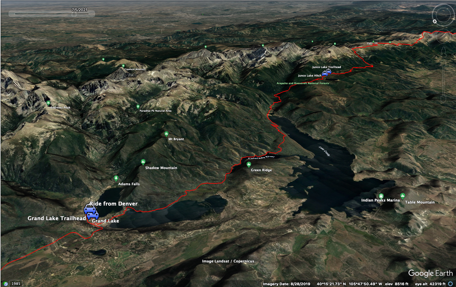
As it turned out, this would be my last full trail day. I drove up to Grand Lake, bought some snacks at the Conoco gas station at the entry to town, then parked at the Continental Divide Trail Head on the south side of Point Park, which juts out between Shadow Mountain Lake and Grand Lake.
With my day pack, I fit right in with the hikers and trail runners here and there. The weather was good, and the trail not difficult as it bumps gently alongside the lake. Later, I walked along the outlet which becomes the Colorado River, then came into Columbine Bay, peppered by a couple of boats sitting still. The trail began to climb through forest after the Twin Creek Ranger Station. I walked along scenic Knight Ridge with great views south over yet another lake, the biggest of the bunch: Lake Granby. The last three miles to Arapaho Bay were difficult. Lots of up and down in scruffy terrain above the lake.
Looking to Arapaho Bay, with Monarch Lake behind and Arapaho Pass in the
mountains above.
I took a longish rest at one of the campgrounds in Arapaho Bay, benefitting from a water faucet, a restroom and a shady place to sit. But then I really wanted to make time. I thought arriving too late at the Junco Lake Trailhead would bode ill for getting a hitch down to Winter Park, so I really started hiking fast. I zoomed along the flats by Monarch Lake, hopping and skipping amid bouldery outcrops on the pine-needle bedecked trail. Then the big climb started up alongside Mill Creek. Whew! This never seemed to end...but I kept going fast anyway.
It started to rain lightly. I was ready to be finished! I decided to cut across country at a saddle and reach the road leading to the Junco Lake Trailhead. My thought was that if anyone was driving away, this gave me a better chance of seeing them. My fear was that at the actual parking lot there would be no more cars.
I dropped down to the road and heard kids nearby. About 1/2 a mile from the trailhead a truck drove down. I stuck out my thumb and the hunter readily offered me a ride. Yes! Although this meant I had a "gap" in my footsteps of about 1/2 a mile, I was eager to get the ride. I learned so many things about hunting elk, deer and birds on the way down, both with rifle and bow. My driver had loaned his deluxe cook stove tent to a man and his son who were cold at night. He just counted on the man's word that he'd come drop the tent off in Denver when he was done. God, I love that. Free people, trusting and compenent, preferring to live by their Word.
We said goodbye in the "Home, James" parking lot and I bounded up the stairs to catch the manager just before he closed up. Sure, he could shuttle me up to Grand Lake.
Shadow Mountain Lake in the evening.
The same, a few minutes later.
Once that was done, I was in the rental car, driving back to Winter Park. I tried to book an apartment, but it was a disaster. Two different places had automated responses that assumed I was coming to stay some weeks hence. They were unable to open up for me, and I couldn't even get a human on the line. I had dinner at a Mexican food restaurant, which was good, but I was stressed about where to stay.
Finally, I ended up driving over Berthoud Pass and down to Idaho Springs. Even there, I couldn't find a hotel. Rather disgusted with the whole thing, and very tired after the long hiking day, I finally found a secret place to park and slept uncomfortably in the car. Every hotel in town and all adjacent towns was full.
September 10, day 162
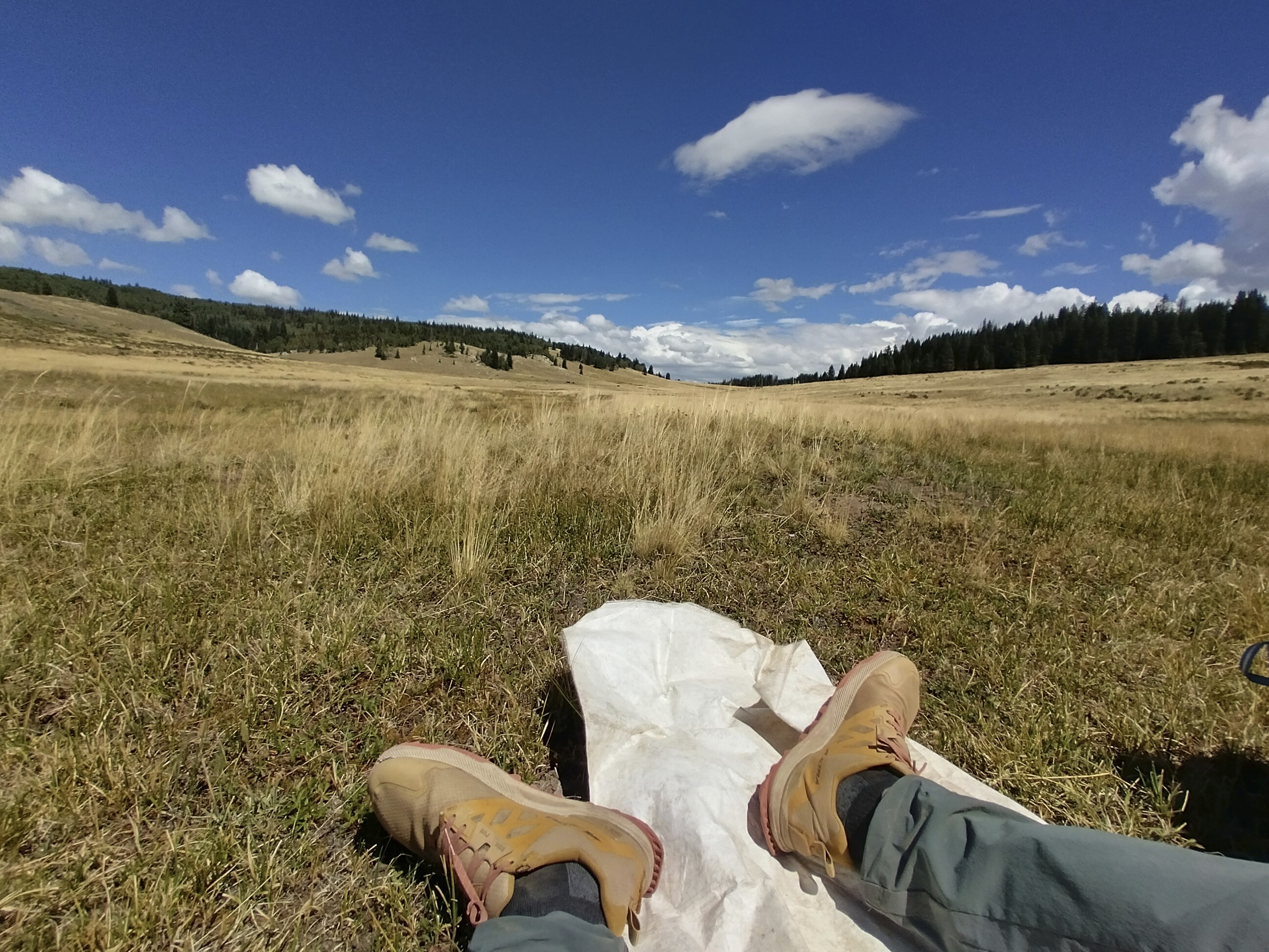
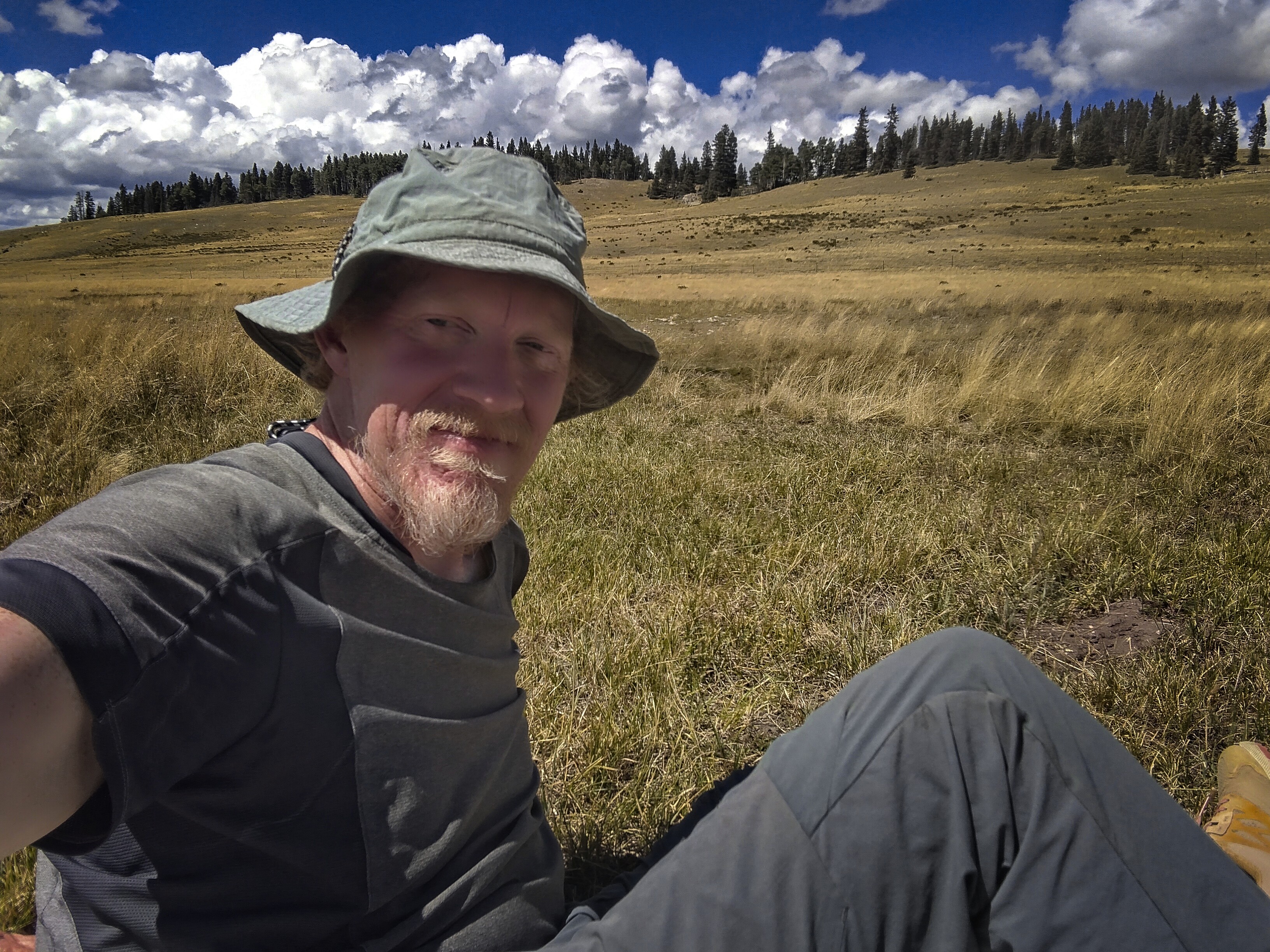
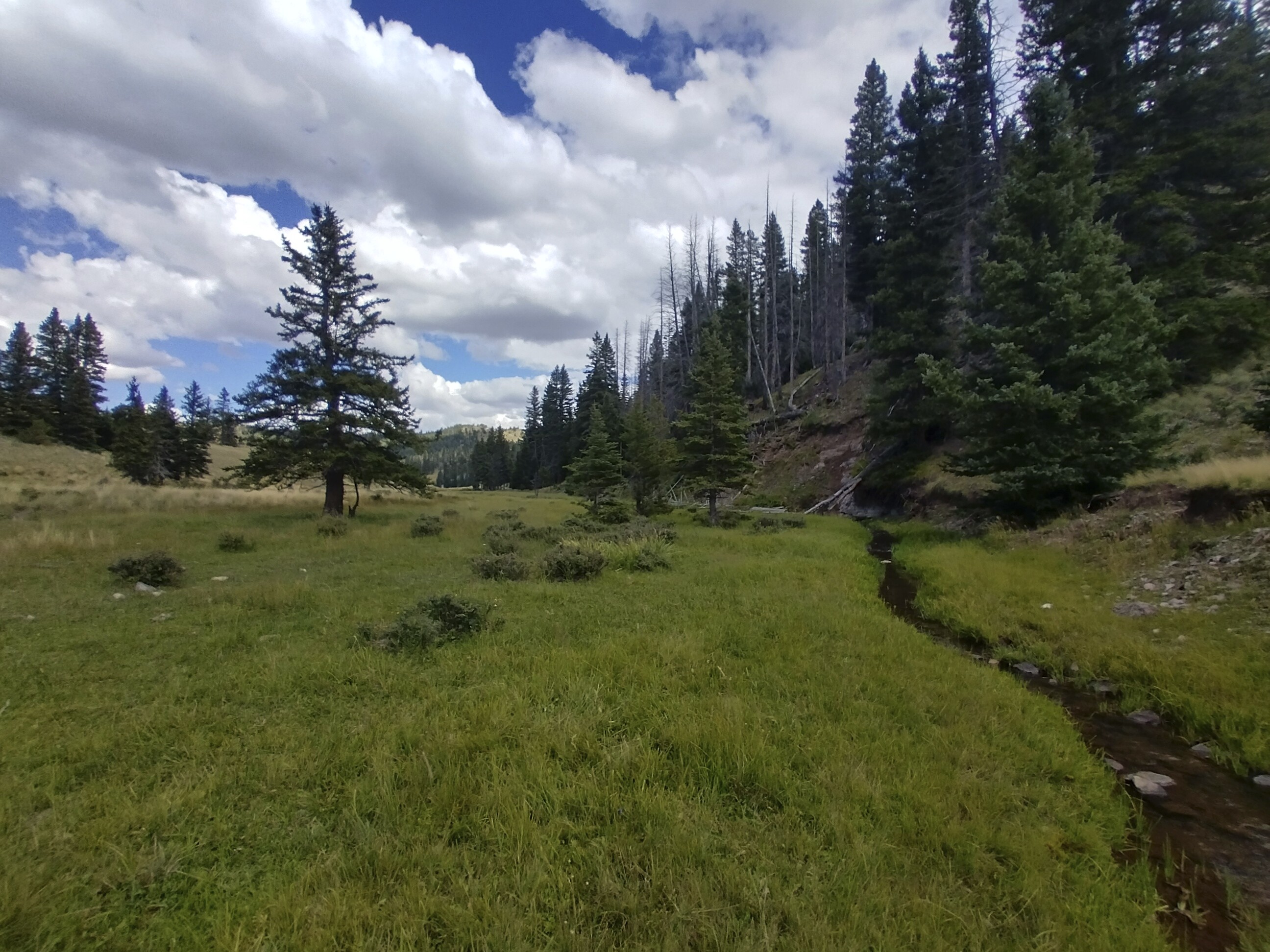
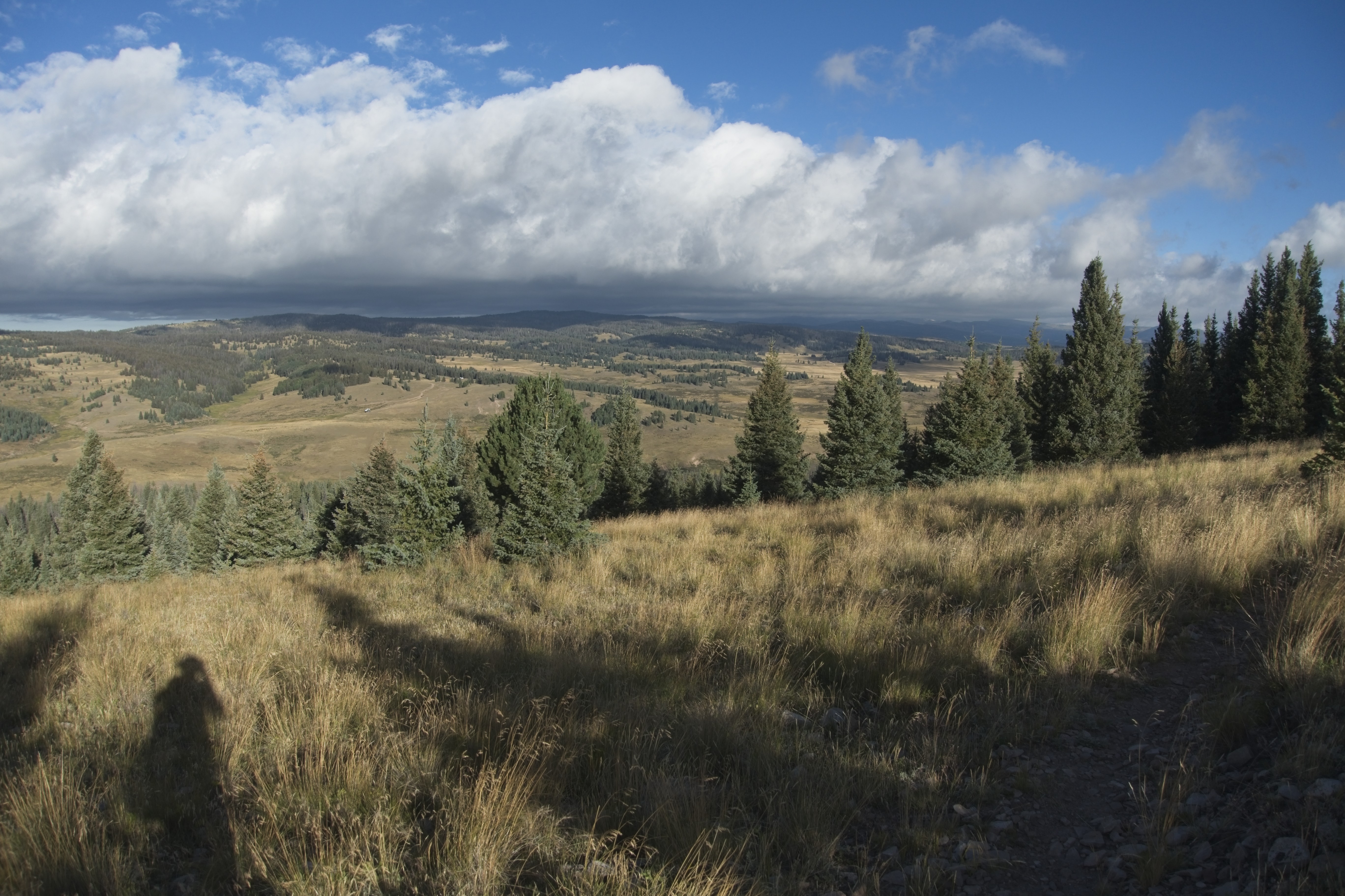
7.6 miles, 1480 feet elevation gain.
Uff. Tired. I got some breakfast at Starbucks, then drove back up to the pass. My idea was to hike a goodly bit of a section I wouldn't actually finish. I'd read Hampton Sides "Blood and Thunder" the year before while walking through New Mexico, impressed by something he'd said about the Navajo. They often leave their works with an unfinished aspect. This is so that spirit may pass in and out.
So that the work may breathe. So that it lives beyond.
Our lives should do this. They are not edifices, they are patterns in sand, soon morphing into different patterns. By leaving a section of the trail undone, I cannot "claim it" and so kill it. I point to the fragility of all my works here on the earth, where rust and thieves hold sway. I take nothing with me. I have only memories, and even these are not complete. They are too often fingered and replayed, suffering warp every time.
As the snow flurries began on top of Stanley Mountain (12,521 ft.), I remembered what I will become, once more. I will be "neti, neti" -- not this, and not that. I will be gone, until you stop looking for me. And then I will be there.
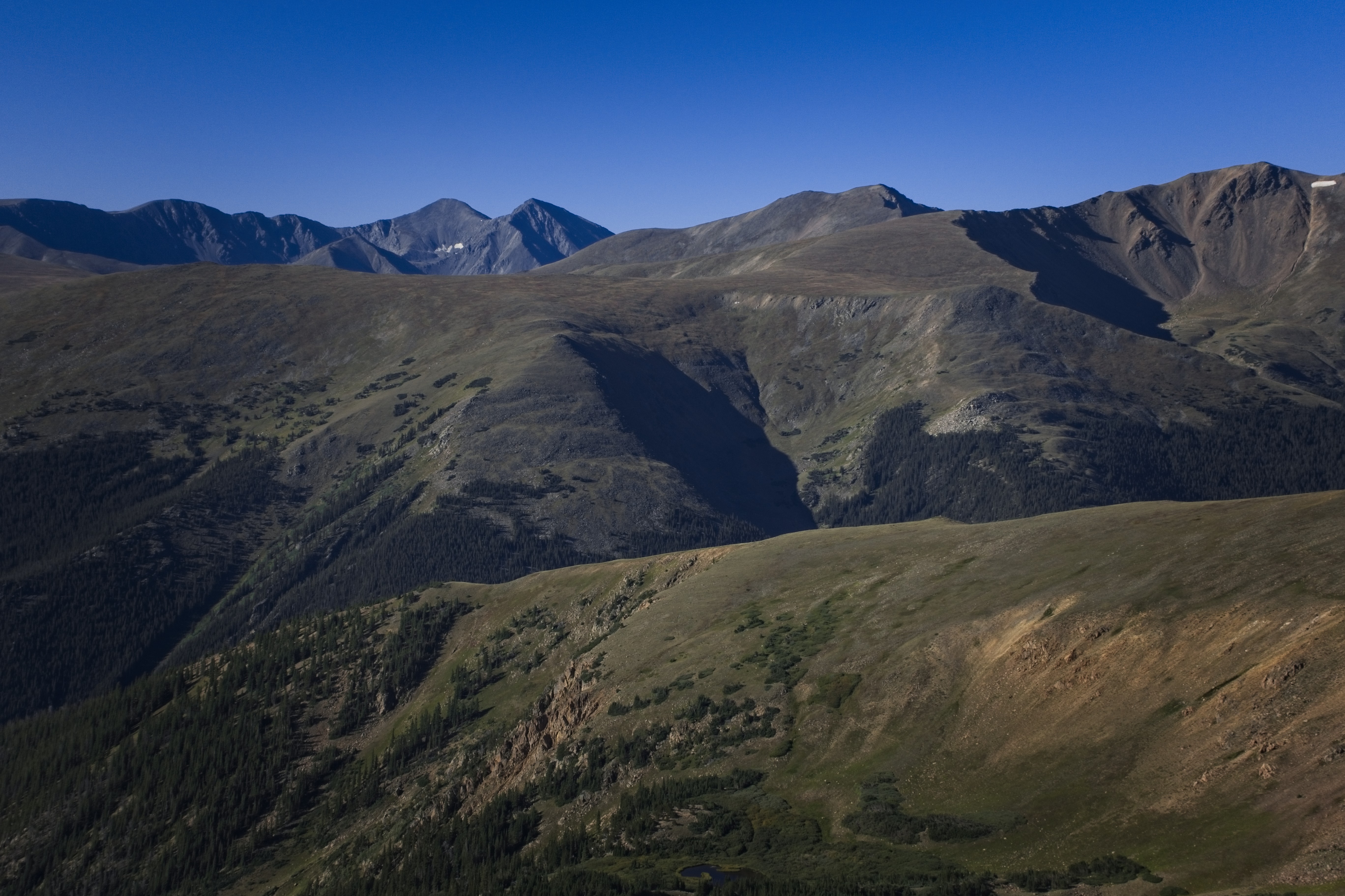
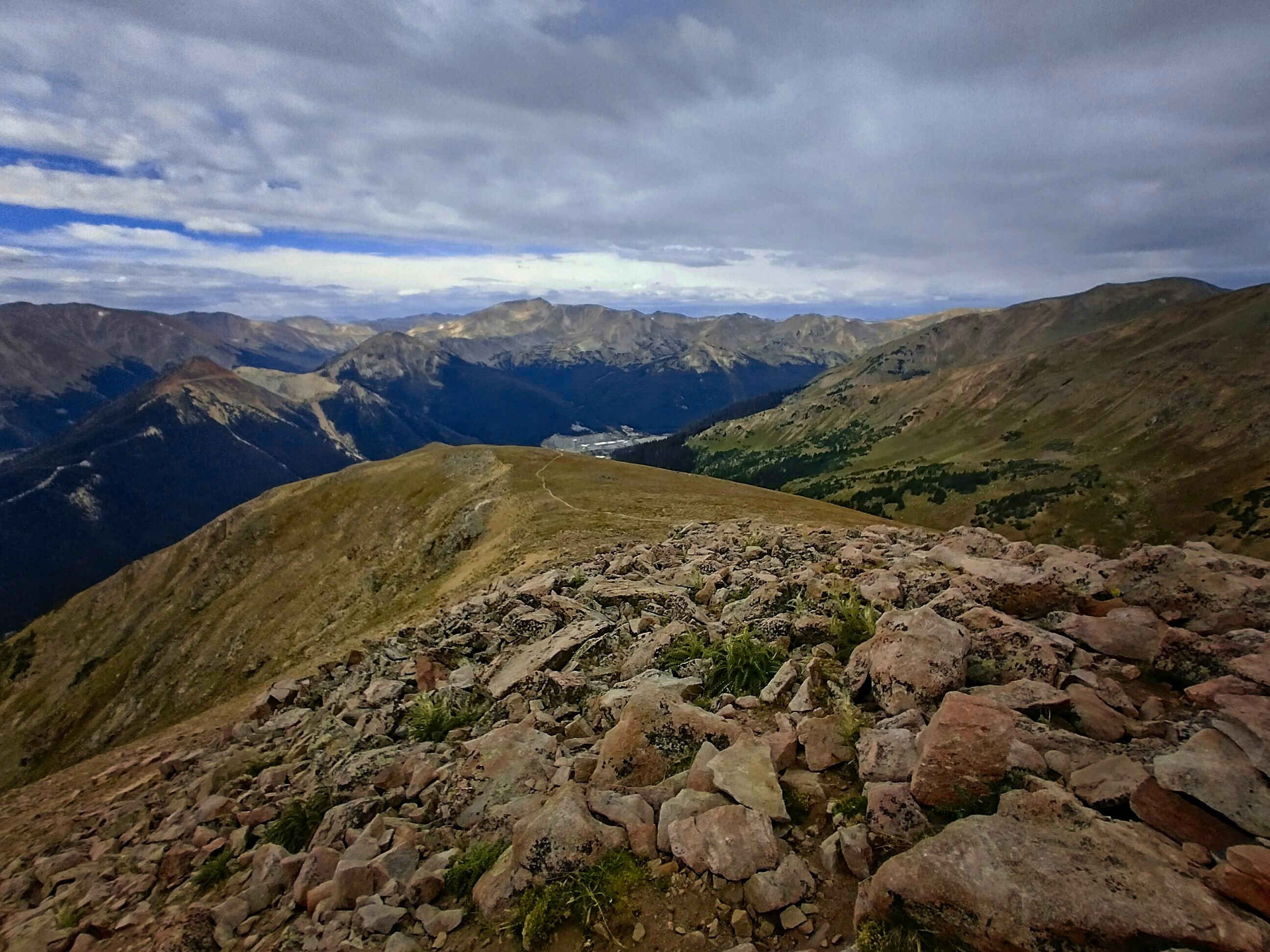
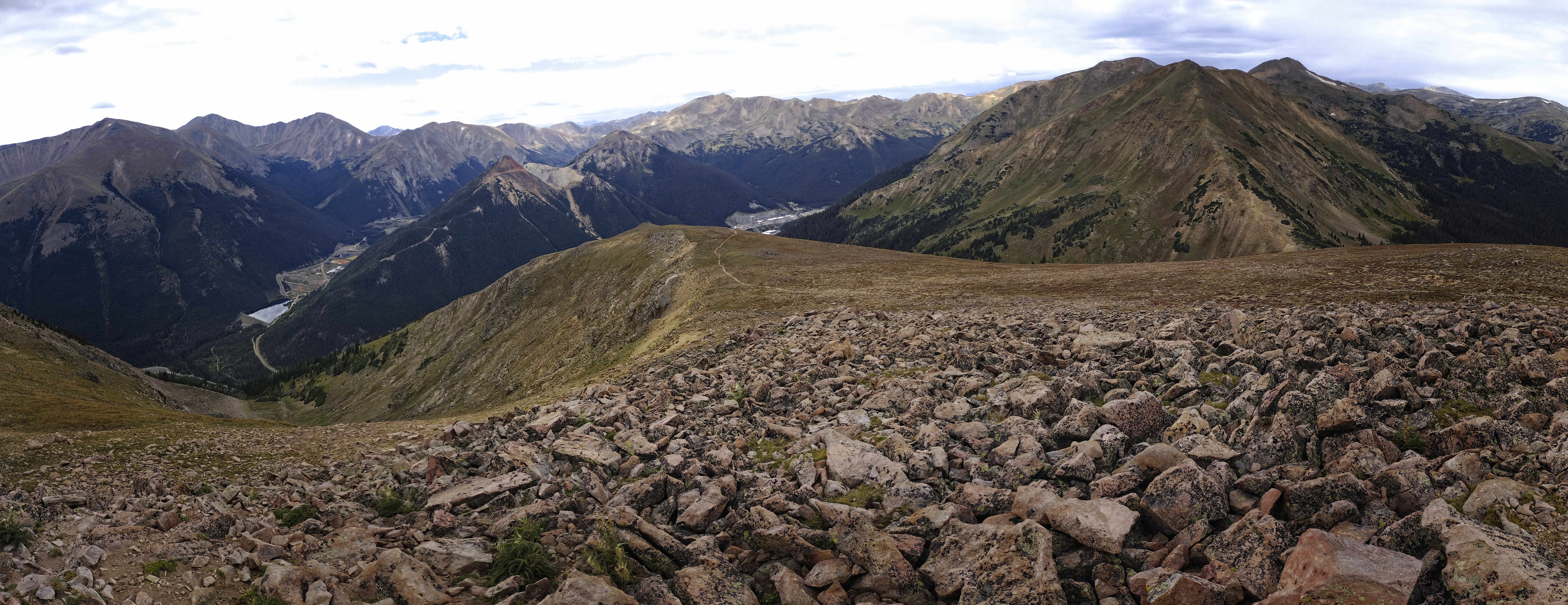
On the divide above the ski area at Berthoud Pass.
Gorgeous high country here...
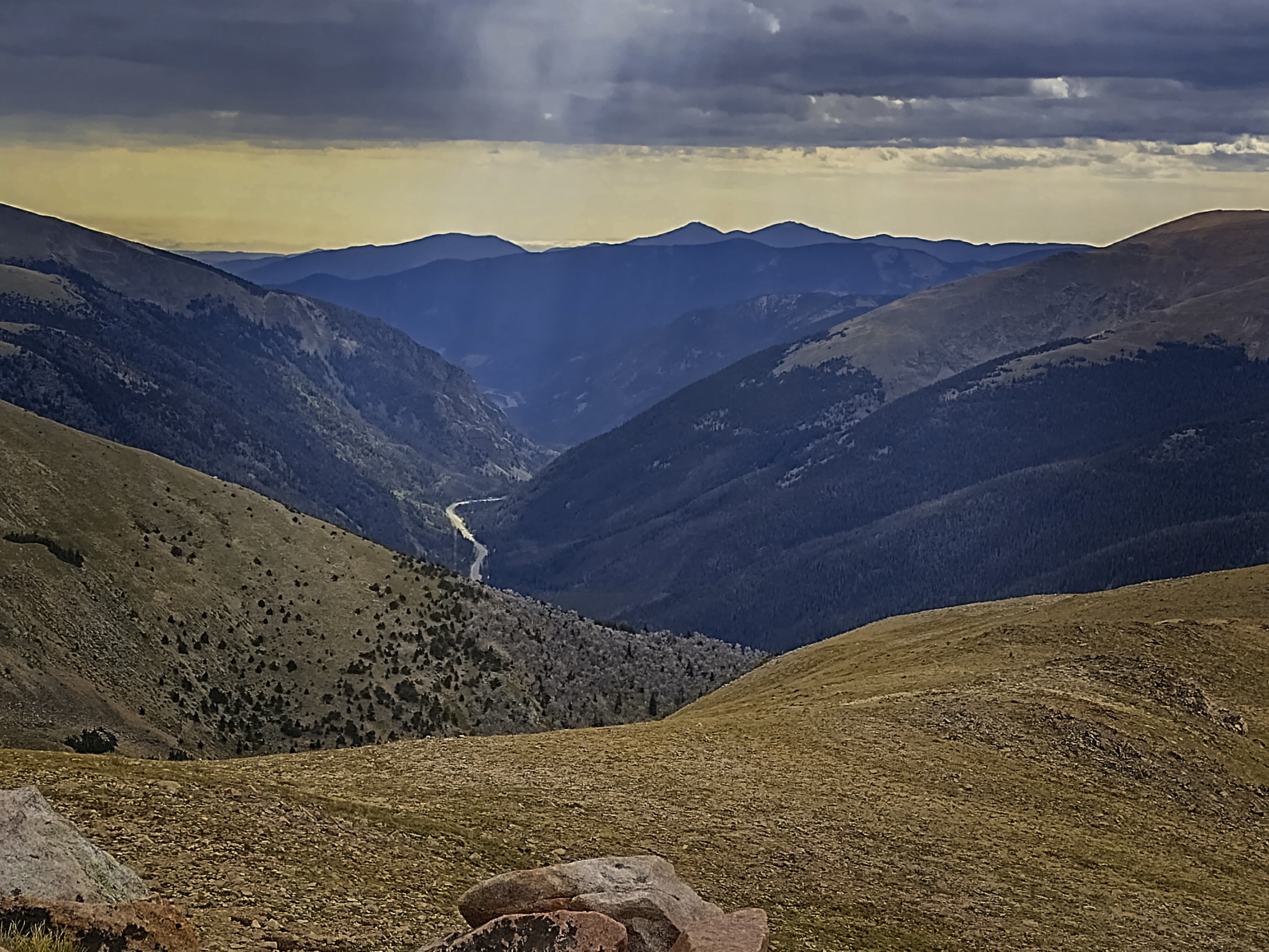
Looking into the 13 miles I was going to leave undone.
Thanks for your attention.
Thanks to God, Most High.
I also wrote about the ending in a different way on my blog, reproduced here:
Well...It is finished.
It feels anti climactic! Like...My whole consciousness is oriented around walking all day long every day, unless it is a glorious rest day, which means doing the absolute minimum of chores and maximum of laying down.
There wasn't room for much else.
In the end it is simple...I had to finish what I said I would do. I learned that the thing I was doing had no magic, really. All of that romance and sparkle existed only in my dreams about the thing.
This doesn't mean the thing has no value. It probably has more value than the thoughts about it. I know that binding myself to the task of it means something, though I don't yet know if it diminished me through depletion or gave me something worth having... Or neither of those. Perhaps I'm both tired and burdened by something unnecessary. But somehow I think that is unlikely. I only know I held on and stuck it out even as I lost what "it" is.
Can the will burn up it's object? It seems so. It seems that my will is bigger than what it pursues. It finally stops because a line was connected, a number was achieved.
You know what?
I call this good. Because...
Maybe one day, someone will find something really worth pursuing. And I want them to keep going even when they forget why. Because the body and mind tire out. And yet the decision to begin remains valid. And so they should continue, even into the gray forgetting. It suggests to me that the will is great... Perhaps it is a gift from another world.
To see it run beyond the tired mind means that whatever we are, we will make it through to what we should become.
One day, maybe...
Looking towards the east as snow starts to fall...